
s/v Always & All Ways
22 April 2022 | Bocas del Toro
12 March 2020
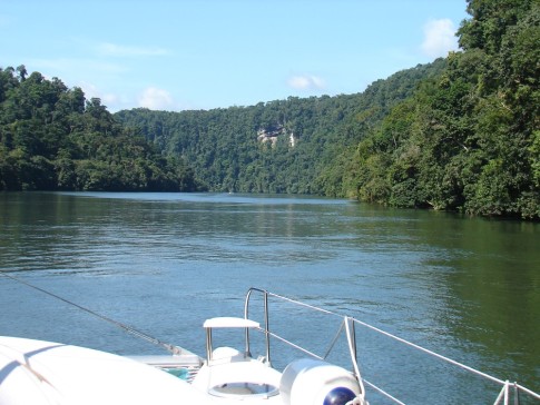
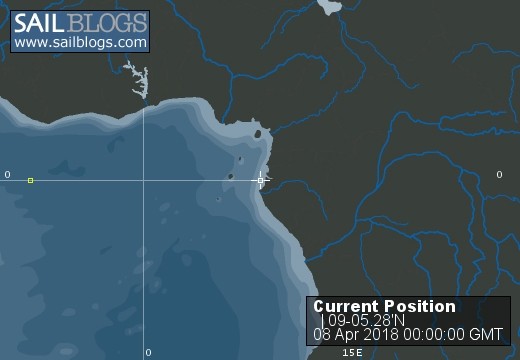
08 April 2018 | Escudo de Veraguas
06 April 2018 | Narranja Abajo
04 April 2018 | Shelter Bay Marina
02 April 2018 | Shelter Bay Marina
30 March 2018 | Shelter Bay Marina
26 March 2018 | Shelter Bay Marina
23 March 2018 | Shelter Bay Marina
22 March 2018 | Shelter Bay Marina
21 March 2018 | Rio Chagres
20 March 2018 | Rio Chagres
19 March 2018 | Rio Chagres
18 March 2018 | Punta Limon
17 March 2018 | Euero, on the Mosquito coast of Panama
16 March 2018 | Escuda de Veraguas
15 March 2018 | Escuda de Veraguas
14 March 2018 | Escuda de Veraguas
13 March 2018 | Escuda de Veraguas
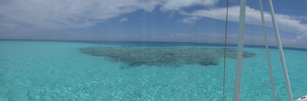
12 March 2018 | Zapatilla Cays
A VERY Long and “Interesting” Day.
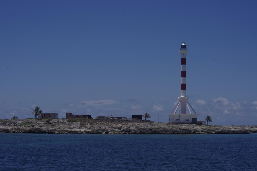
07 April 2011 | Escudo de Veraguas, Panama
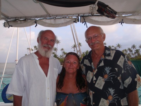
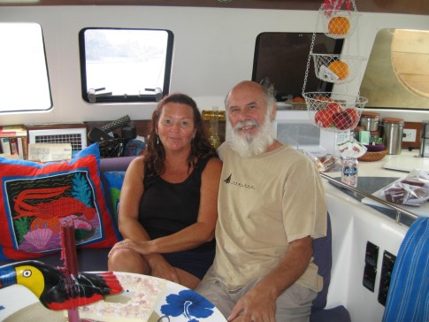
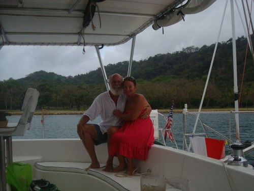
Mark
Last night turned out not to be too bad. The wind dropped considerably and we faced the swells and that made the motion quite tolerable. We both slept well. We awakened to light winds from NW. Not bad considering we are heading SW. We got underway around 8:30 for what was to be ~24 nm trip to Euero, “the most protected anchorage on this coast.” After clearing the anchorage, we were able to sail, all up, on a close reach. Wind was ~15 kts apparent (10-11 true) and we moved along @7-8 through the water and 5.5-6.5 over ground (still have that 1.5 kt Caribbean Counter Current). And then the squalls came. Suddenly the wind was 20-25 true. Drop in a double reef, roll up ½ of gennie and carry on. Squalls don't usually last long. Famous last words. At least we were sailing well. At one point we hit 10 kts through the water, and that was reefed down. We got to Euero in record time, only 3 hours, but the anchorage was totally untenable. Euero has excellent protection from the NE and good protection from N, but NONE from the NW to W. By now the wind was still blowing 20-25 but from due W making the whole anchorage a lee shore. Add to that the fact that it remains deep until fairly close to shore and I didn't even dare to approach it. So, what are our options? Calovebora, the next anchorage we have used, is terrible – just an open roadstead. Belen and Bejuco, two other anchorages described in the cruising guide, are no better. Veraguas is 44 nm away which would mean arriving in the middle of the night and if it is still blowing like this, it, too, would be untenable. But out to sea is certainly safer than near shore in these conditions so we head for Veraguas. Of course, the wind is coming directly from Veraguas and so we motor-sail with just a double reefed main @ 30* off the wind to N. Once we get into deeper water, things are more comfortable, but the seas are terribly confused with the WNW wind creating 5-10' wind waves @ 90* to the NE swell which is probably also 5-10. Every now and then, they really add up. After about an hour, during one particularly intense squall (winds hit 35 kts true), the wind suddenly shifted to due N. Presto-chango! Tack to port, let out a scrap of gennie, and we are sailing (no motor) almost directly on the rhumb line for Veraguas. And the squalls continued. Big wind, reef way down; heavy rain, get soaked; no wind, all sail up; big wind, etc., etc. But we made good progress through it all. I kept us moving @ 5-6 kts the whole time, sometimes more. At that point it looked like we would make Veraguas by midnight, but with this wind, it would probably not be a reasonable anchorage to try in the dark. We've been there a few times, know the area, and have good GPS waypoints, but if the waves are whipping around the point, there really is not good place to anchor and certainly not in the dark. If we carry on, we will make Zapatilla my daylight, probably the better choice. The sun set. We are still crashing along @ 6 kts. in confused seas. There's a small crescent moon but it will set before we reach Veraguas. And then the wind died. Just like that. Twenty knots down to 6-7. Same angle, and with full sail and a little boost from one engine we can still make 5-6 kts. With little wind and seas subsiding, maybe Veraguas will be OK after all. I spotted the light on the E end of the island about 8 nm out. I set our course to approach the island at an angle that kept us 2 nm from the coast and any potential danger. We are coming from the E and the eastern end of the island is a chain of tiny little islands that then peter out into a ridge of rock and reef, not something you want to find on approach. The light marks the E most extremity, but it continues quite a way S and we don't want to go over that! Finally the wind dies completely and I drop sail and motor the last couple miles. The night is BLACK – no moon and few stars. I can sort of make out the distinction between sky, land, and sea, but only vaguely. From 2 nm out, with radar finding a good reflection from the high bluffs to confirm the edge of the island on the chart plotter, we turn in heading directly for the shore, watching the depth meter intently. Deb tries our spotlight, but it only reflects off the mist and blinds us. We go in cautiously. Forty feet, thirty, twenty, teens. Slow down. We can hear surf, but where? By GPS we are still .25 nm off the shore, but we are in 16' of water and it is calm. Good enough for tonight. Drop anchor, set it, and if we stay, maybe we will move in the morning, but for tonight we are safe and comfortable, two things we would not have been @ Euero. And it is only 11:00. Time for a little Black Jack in the net to celebrate and then bed.
Comments
| Vessel Name: | Always & All Ways |
| Vessel Make/Model: | Fountaine-Pajot Belize 43 |
| Hailing Port: | Hancock, NH, USA |
| Crew: | Mark & Deb Parker |
| About: | Mark, an ER doc, retired 10/08 to become a sea gypsy. Deb, an educator, has been retired since 5/07 and was equally anxious to leave the cold of New England far behind |
| Extra: | We now have a hurricane season home in Bocas del Toro, Panama. We still plan on spending many months cruising every year. |
Always & All Ways's Photos - Main
 |
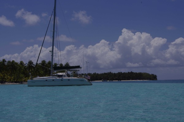
In the Spring of 2016, we sailed from Bocas del Toro, Panama, to Cuba and back with stops at the Albuquerque Cays, Providencia, and the Cayman Islands. We cruised the South coast of Cuba some and then left the boat for some inland excursions.
20 Photos
Created 8 March 2018
|
 |
Cruise of Albuquerque Cays and Providencia, Columbia
19 Photos
Created 12 June 2013
|
 |
Pictures from our 2012 cruise from Bocas del Toro, Panama, to the Bay Islands of Honduras and back. Posted each time we have internet
2 Photos | 7 Sub-Albums
Created 28 March 2012
|
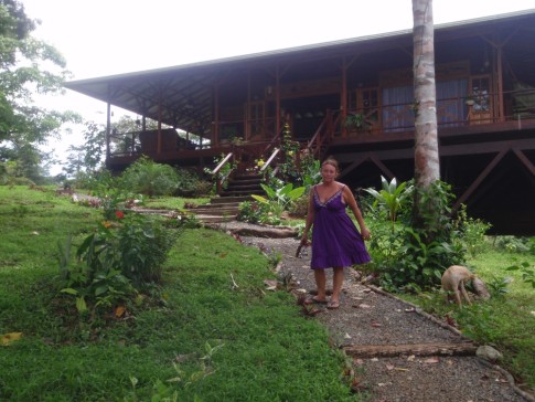 |
Pictures of our home at Discovery Bay, Isla Solarte, Bocas del Toro, Panama. More (older) can be found in Discovery Bay album.
49 Photos | 1 Sub-Album
Created 5 August 2010
|
 |
Pictures of our recent trip to the San Blas Islands of Panama with friends Ron & Cynde
58 Photos | 3 Sub-Albums
Created 29 April 2010
|
 |
Pics from the month we spent at some of the out of the way places in the Bahamas, May 2009.
39 Photos
Created 22 June 2009
|
 |
Birds, animals, etc. that we have seen along the way
14 Photos
Created 11 April 2009
|
 |
Pictures of some of the improvements we have made over the past few months
37 Photos
Created 11 April 2009
|
 |
 |
Who: Mark & Deb Parker
Port: Hancock, NH, USA
Favorite Links
No Links Added Yet