
s/v Always & All Ways
22 April 2022 | Bocas del Toro
12 March 2020
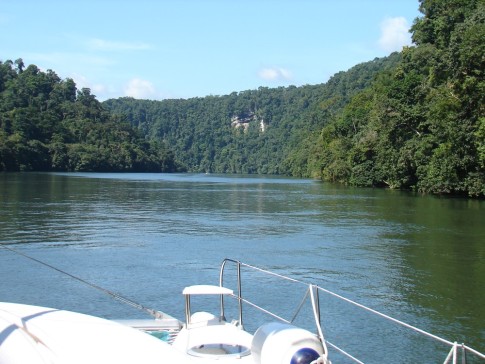
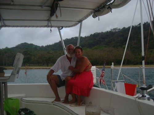
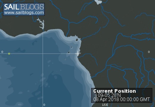
08 April 2018 | Escudo de Veraguas
06 April 2018 | Narranja Abajo
04 April 2018 | Shelter Bay Marina
02 April 2018 | Shelter Bay Marina
30 March 2018 | Shelter Bay Marina
26 March 2018 | Shelter Bay Marina
23 March 2018 | Shelter Bay Marina
22 March 2018 | Shelter Bay Marina
21 March 2018 | Rio Chagres
20 March 2018 | Rio Chagres
19 March 2018 | Rio Chagres
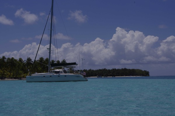
18 March 2018 | Punta Limon
17 March 2018 | Euero, on the Mosquito coast of Panama
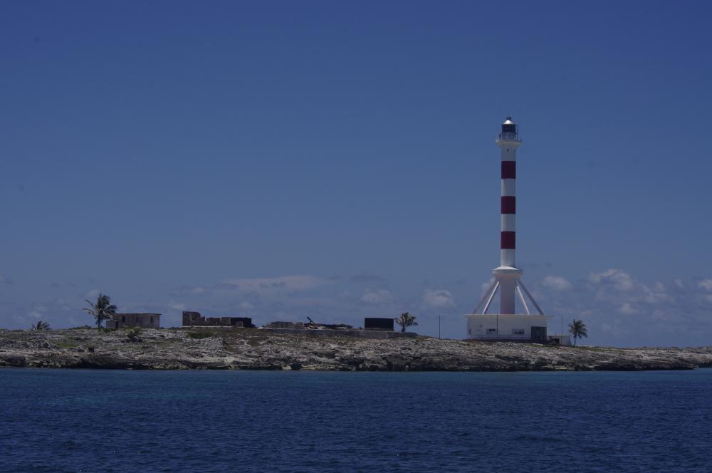
16 March 2018 | Escuda de Veraguas
15 March 2018 | Escuda de Veraguas
14 March 2018 | Escuda de Veraguas
13 March 2018 | Escuda de Veraguas
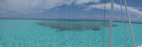
12 March 2018 | Zapatilla Cays
A short swift sail.
28 April 2009 | Anchored, off Sand Key, Biscayne Bay
Mark
Monday, April 27. The winds this AM are 20-25 kts from E as predicted, but we decided to move anyway. Our present anchorage is pleasant enough and with the weekend past, nearly everyone has left - I can count only 5 other boats - but I wanted to sail in this much wind to see how it goes and we also wanted to check out the N end of Sand Key, about 5 miles away. After a leisurely breakfast, we raised the anchor to the bridle and removed the kellet, raised the main (double reef), and then finished weighing anchor. This routine is turning out to work very well. Getting the 20 lb. kellet up into the anchor locker is a bit awkward, so I go forward and do that after Deb has the bridle secured. Then I go back to the helm and raise the main. I can do it to about the top reef by hand and then use the winch. With the main up, but the sheet loose so it isn't drawing, it is still easy to power up to the anchor and them fall off to sail as soon as it is up. Even with this much wind, it worked well. Once Deb was back in the cockpit, we let out a bit of gennie and sailed N quite comfortably, making 5-6 kts. with the very reduced sail plan. The way we were set up, she didn't want to point much higher than 60* apparent (I can usually get 45-40). I think maybe with more gennie we could point higher. But 60 was fine for our intended course, so we sailed out around the shoals and headed back E to anchor on the spit that extends N from the main key, dropping sails and motoring. We were @ high tide and would lose ~2' by low tide, so anything less than 7' was getting dicey for anchoring, but was fine for exploring now. We worked our way in one little cove and by the time we got good protection from the wind, we were in 6.5'. We tried the next cove N, but it was even shallower. Checking tides on the computer, I learned that we should only lose 1.8' from where we were now, so we went back to the first cove and found a spot with 6.2' that was quite well protected. Now, we draw 4.3', but the depth meter reads the top of the grass, so I figured we had a buffer of 6" at least. After we were anchored, I dropped a lead line and found 7.2'. Then I dove and measured depth below keel (34") and depth from top of grass to waterline at the point on the hull where depth sounder was mounted (6.5) and to the real bottom (7.2). After triple checking my measurements, I adjusted the depth meter to read the correct measurement to the top of the grass as best as I could tell it. This will be quite important in the Bahamas and I will recheck everything when we are anchored in sand or over hard pack. It is no problem if we touch a bit of Florida mud, but Bahamian marl would be much less forgiving. After lunch, we took the dinghy to explore the "key hole" and the Atlantic side of the key. The key hole is a man made channel that leads into a little lagoon in the center of the key. It is very strange - probably no more than 30-40' wide and at least 5' deep blasted in the limestone/coral and it goes for about =BC mile. Inside, the lagoon is shallow (like pull up the outboard and pole the dinghy shallow). We found the trail that leads to the Atlantic side and followed it, but when we got there, all there was to see was miles of exposed marl. No sandy beach, no shells, not even mud flats. I cannot imagine why anyone would blast that channel or create the path. Oh well, fun exploring anyway. Back at the boat, Deb did another tub of laundry (she is really getting into this!) and we barbecued ribs for dinner - no small feat in 25 kts of wind! I had to cover the vents on the grill with aluminum foil and then relight it every time I opened the lid (it has a piezo clicker), but they were worth it.
Comments
| Vessel Name: | Always & All Ways |
| Vessel Make/Model: | Fountaine-Pajot Belize 43 |
| Hailing Port: | Hancock, NH, USA |
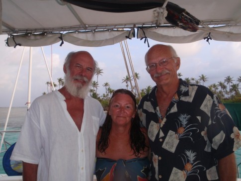
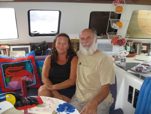
| Crew: | Mark & Deb Parker |
| About: | Mark, an ER doc, retired 10/08 to become a sea gypsy. Deb, an educator, has been retired since 5/07 and was equally anxious to leave the cold of New England far behind |
| Extra: | We now have a hurricane season home in Bocas del Toro, Panama. We still plan on spending many months cruising every year. |
Always & All Ways's Photos - Main
 |
In the Spring of 2016, we sailed from Bocas del Toro, Panama, to Cuba and back with stops at the Albuquerque Cays, Providencia, and the Cayman Islands. We cruised the South coast of Cuba some and then left the boat for some inland excursions.
20 Photos
Created 8 March 2018
|
 |
Cruise of Albuquerque Cays and Providencia, Columbia
19 Photos
Created 12 June 2013
|
 |
Pictures from our 2012 cruise from Bocas del Toro, Panama, to the Bay Islands of Honduras and back. Posted each time we have internet
2 Photos | 7 Sub-Albums
Created 28 March 2012
|
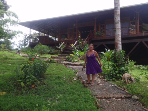 |
Pictures of our home at Discovery Bay, Isla Solarte, Bocas del Toro, Panama. More (older) can be found in Discovery Bay album.
49 Photos | 1 Sub-Album
Created 5 August 2010
|
 |
Pictures of our recent trip to the San Blas Islands of Panama with friends Ron & Cynde
58 Photos | 3 Sub-Albums
Created 29 April 2010
|
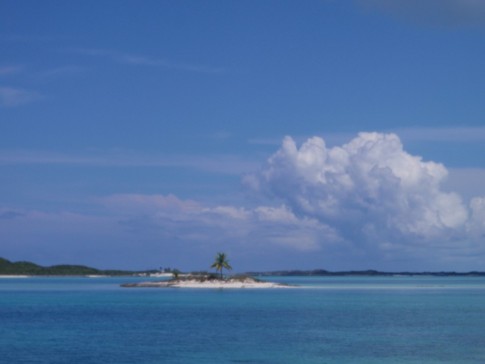 |
Pics from the month we spent at some of the out of the way places in the Bahamas, May 2009.
39 Photos
Created 22 June 2009
|
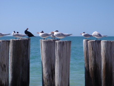 |
Birds, animals, etc. that we have seen along the way
14 Photos
Created 11 April 2009
|
 |
Pictures of some of the improvements we have made over the past few months
37 Photos
Created 11 April 2009
|
 |
 |
Who: Mark & Deb Parker
Port: Hancock, NH, USA
Favorite Links
No Links Added Yet