Windmills

07 June 2016 | Ocracoke Island, N.C.
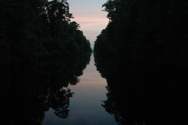
06 June 2016
06 June 2016
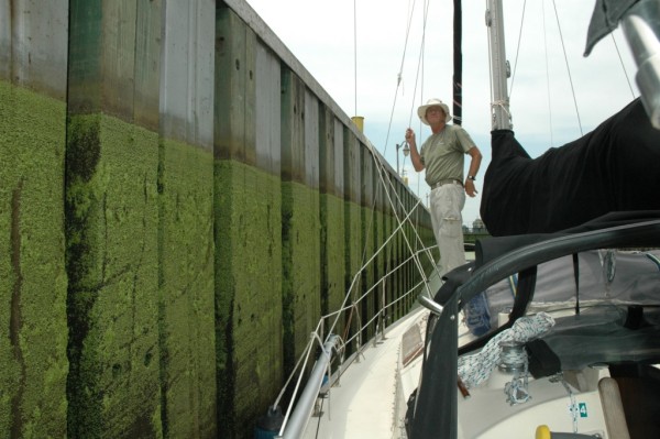
01 June 2016 | River Dunes, N.C.
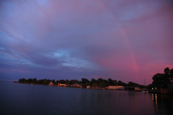
23 July 2015 | Manteo to New Bern
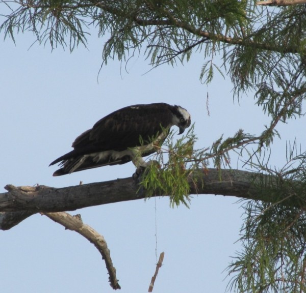
23 July 2015 | Manteo, N.C.
23 July 2015 | Manteo, N.C.
23 July 2015 | Manteo, N.C.
23 July 2015 | Manteo, N.C.
23 July 2015 | Manteo, N.C.
19 July 2015
18 July 2015 | Manteo, N.C.
11 July 2015 | New Bern
03 July 2015 | Oriental, North Carolina
13 June 2015 | Ocracoke Island, North Carolina
05 June 2015
01 June 2015 | Ocracoke Island
14 May 2015 | Carolina Beach mooring field
18 February 2015
20 October 2013 | South Harbour Village Marina, Southport, N.C.
Friday, Oct. 28, 2011, Deltaville, Va., to Chestertown, Md.
29 October 2011
LL Bean
We packed the car and left for Chestertown about 9 a.m. The drive took about six hours, but we stopped after we crossed the bay bridge at an outlet center where we found an LL Bean outlet and spent about an hour. We were reluctant to stop before we got across the bridge for fear of having the same experience Olivia did of getting stuck waiting for hours.
We were looking for gloves. The weather prediction is for cold and wind and possibly snow for the weekend. We started this journey in stifling heat. I suppose it's appropriate that we end it in freezing cold.
Rock Hall
We found our gloves and a few other odds and ends and went on our way to Rock Hall, which is across the peninsula formed by the bay and the Chester River from Chestertown. It's about a 15 minute drive from Chestertown and was the closest place we could find lodging for the weekend. We're staying at the Mariner Motel in a cozy room that has an absolutely marvelous shower.
We ordered our dinner from the Waterman's Crab House, a short walk from the motel and ate at the little round table in our room. Robert apparently had a lengthy conversation with the bartender while he waited for our order. He told her we weren't eating in the restaurant because we had a dog. She told him she has eight dogs - all small. She showed him a picture of a puppy she was getting soon. Tomorrow night, if we order from there, he said I should go talk to her.
Longitude
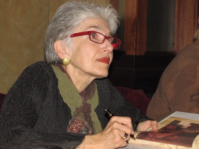
We left for Chestertown about 6:30 p.m. so we could watch the fireworks and I could go to a talk at The Prince Theater by Dava Sobol, who wrote "Longitude." This weekend is my birthday celebration, so Robert insisted I go, though he would have really enjoyed it (one of us had to stay with Madison). He's read the book and we've seen the A&E movie based on the story of John Harrison, a clockmaker who took up the challenge issued by the British government to find a solution to problem of fixing a ship's longitude at sea.
Sobol began her presentation by showing a slide of her mother as a young woman at the helm of a sailboat. She included the photo of her mother, she joked, because there were no women in this story. She explained that when she was a little girl, her mother got interested in celestial navigation about the same time her father got interested in sailing. Her mother took her along to classes, so she had an early introduction to the concepts of latitude and longitude, though she wasn't much interested at the time.
Years later, when she was working as a science writer for various well-known publications, she tried to peddle a story about a symposium on longitude she'd been invited to attend at Harvard. All the editors she approached thought it was "boring, weird and esoteric." But shortly before the conference when it turned out hundreds of people were coming from all over the world, Harvard Magazine called and asked her to cover it.
It was the best science conference she's been to in 30 years of science writing, she said. Soon after the magazine came out, a book publisher read her story and called to ask if she had enough information to turn it into a book.
She went from not being able to get even an assignment for a magazine article to being offered a book contract. And the book she wrote spent months on the New York Times bestseller list.
In the early 1700s, the British government offered a 20,000 pound prize to anyone who could come up with a way for sailors to reliably calculate longitude after four of five ships in Admiral Sir Clowdisley Shovell's fleet ran aground in 1707 and sank with a loss of about 2,000 sailors. They ran into the rocks off the Scilly Islands in the fog because they thought they were someplace else. (The great irony is that within the previous 24 hours, Shovell had been approached by a common sailor who had been keeping his own reckoning of the fleet's location and disagreed with the fleet's navigators. The sailor knew that such activity was considered subversive and that he risked being hanged, but the danger seemed so great he took the risk. Shovell had him hanged on the spot.) Shovell's fleet was only the most recent in a long line of ships and men lost at sea because they were literally lost. They misjudged where they were because they had no accurate way of determining their longitude. Sailors could determine latitude - their location north or south on the globe - by measuring the distance between the horizon and the sun at noon or the North Star at night. The zero-degree meridian of latitude is the equator. But there was no heavenly help for sailors in determining longitude - that is, where they were east or west, though an astronomical solution was believed to exist, and was being diligently sought.
The other solution to determining longitude was to develop an accurate timepiece that would withstand the rigors of life at sea. As Sobol explains in "Longitude,":
"The measurement of longitude meridians...is tempered by time. To learn one's longitude at sea, one needs to know what time it is aboard ship and also the time at the home port or another place of known longitude - at that very same moment. The two clock times enable the navigator to convert the hour difference into a geographical separation. Since the earth takes twenty-four hours to complete one full revolution of three hundred sixty degrees, one hour marks one twenty-fourth of a spin, or fifteen degrees. And so each hour's time difference between the ship and the starting point marks a progress of fifteen degrees of longitude to the east or west."
Sobol's one prop, besides her slides, was a little inflated globe. She got a laugh right off by pointing out that latitude lines are the ones that run around the globe from east to west and grow smaller toward the poles. Longitude lines are the ones that run north and south over the poles.
The equator is a natural for zero-degree latitude, but there is no natural point for zero-degree longitude, so of course deciding prime meridian of longitude became a political matter. In "Longitude," Sobol writes that the French continued to place the prime meridian in Paris until 1911, 27 years after the International Meridian Conference in 1884 made official what had been common practice for more than a century and placed the prime meridian at Greenwich, seven miles outside of London.
"Day begins in Greenwich," Sobol writes. "Time zones the world over run a legislated number of hours ahead of or behind Greenwich mean time (GMT). Greenwich time even extends into outer space: Astronomers use GMT to time predictions and observations, except that they call it Universal Time, or UT, in their celestial calendars."
But that's the end result of John Harrison's story, the honor that came to England because he designed a beautiful, precise time piece that would remain true despite the harshness of life at sea. Harrison's story is the heart of Longitude. It took him 40 years to claim the prize. He was his own worst critic in the beginning, but in the end he was undermined by some members of the Board of Longitude that had been set up to decide the winner. It's a compelling human story, as is the story of naval officer Rupert Gould, the man who discovered Harrison's four prototypes corroding at Greenwich and spent 12 years meticulously cleaning and restoring them without pay. Today, they are on display at the Royal Observatory at Greenwich, wound every morning by the Maritime Museum curator who lovingly cares for them.
As she concluded her talk, Sobol reflected on the Global Positioning System that gives its name to the GPSs so precise that anyone checking our blog can tell exactly where our boat is in the Deltaville boatyard. GPSs work by receiving information from orbiting satellites and time signals from atomic clocks. It's the perfect marriage of the two methods - astronomical and temporal - of determining longitude.
"You have to wonder what the Board of Longitude would have thought of that solution," Sobol said.
When I told Robert, he had a ready response. "They would have accused whoever came up with it of witchcraft and burned them at the stake."
A&E movie
Longitude at Amazon
NPR interview about Sobol's new book "A More Perfect Heaven: How Copernicus Revolutionized the Cosmos
Interview with Sobol
We packed the car and left for Chestertown about 9 a.m. The drive took about six hours, but we stopped after we crossed the bay bridge at an outlet center where we found an LL Bean outlet and spent about an hour. We were reluctant to stop before we got across the bridge for fear of having the same experience Olivia did of getting stuck waiting for hours.
We were looking for gloves. The weather prediction is for cold and wind and possibly snow for the weekend. We started this journey in stifling heat. I suppose it's appropriate that we end it in freezing cold.
Rock Hall
We found our gloves and a few other odds and ends and went on our way to Rock Hall, which is across the peninsula formed by the bay and the Chester River from Chestertown. It's about a 15 minute drive from Chestertown and was the closest place we could find lodging for the weekend. We're staying at the Mariner Motel in a cozy room that has an absolutely marvelous shower.
We ordered our dinner from the Waterman's Crab House, a short walk from the motel and ate at the little round table in our room. Robert apparently had a lengthy conversation with the bartender while he waited for our order. He told her we weren't eating in the restaurant because we had a dog. She told him she has eight dogs - all small. She showed him a picture of a puppy she was getting soon. Tomorrow night, if we order from there, he said I should go talk to her.
Longitude
We left for Chestertown about 6:30 p.m. so we could watch the fireworks and I could go to a talk at The Prince Theater by Dava Sobol, who wrote "Longitude." This weekend is my birthday celebration, so Robert insisted I go, though he would have really enjoyed it (one of us had to stay with Madison). He's read the book and we've seen the A&E movie based on the story of John Harrison, a clockmaker who took up the challenge issued by the British government to find a solution to problem of fixing a ship's longitude at sea.
Sobol began her presentation by showing a slide of her mother as a young woman at the helm of a sailboat. She included the photo of her mother, she joked, because there were no women in this story. She explained that when she was a little girl, her mother got interested in celestial navigation about the same time her father got interested in sailing. Her mother took her along to classes, so she had an early introduction to the concepts of latitude and longitude, though she wasn't much interested at the time.
Years later, when she was working as a science writer for various well-known publications, she tried to peddle a story about a symposium on longitude she'd been invited to attend at Harvard. All the editors she approached thought it was "boring, weird and esoteric." But shortly before the conference when it turned out hundreds of people were coming from all over the world, Harvard Magazine called and asked her to cover it.
It was the best science conference she's been to in 30 years of science writing, she said. Soon after the magazine came out, a book publisher read her story and called to ask if she had enough information to turn it into a book.
She went from not being able to get even an assignment for a magazine article to being offered a book contract. And the book she wrote spent months on the New York Times bestseller list.
In the early 1700s, the British government offered a 20,000 pound prize to anyone who could come up with a way for sailors to reliably calculate longitude after four of five ships in Admiral Sir Clowdisley Shovell's fleet ran aground in 1707 and sank with a loss of about 2,000 sailors. They ran into the rocks off the Scilly Islands in the fog because they thought they were someplace else. (The great irony is that within the previous 24 hours, Shovell had been approached by a common sailor who had been keeping his own reckoning of the fleet's location and disagreed with the fleet's navigators. The sailor knew that such activity was considered subversive and that he risked being hanged, but the danger seemed so great he took the risk. Shovell had him hanged on the spot.) Shovell's fleet was only the most recent in a long line of ships and men lost at sea because they were literally lost. They misjudged where they were because they had no accurate way of determining their longitude. Sailors could determine latitude - their location north or south on the globe - by measuring the distance between the horizon and the sun at noon or the North Star at night. The zero-degree meridian of latitude is the equator. But there was no heavenly help for sailors in determining longitude - that is, where they were east or west, though an astronomical solution was believed to exist, and was being diligently sought.
The other solution to determining longitude was to develop an accurate timepiece that would withstand the rigors of life at sea. As Sobol explains in "Longitude,":
"The measurement of longitude meridians...is tempered by time. To learn one's longitude at sea, one needs to know what time it is aboard ship and also the time at the home port or another place of known longitude - at that very same moment. The two clock times enable the navigator to convert the hour difference into a geographical separation. Since the earth takes twenty-four hours to complete one full revolution of three hundred sixty degrees, one hour marks one twenty-fourth of a spin, or fifteen degrees. And so each hour's time difference between the ship and the starting point marks a progress of fifteen degrees of longitude to the east or west."
Sobol's one prop, besides her slides, was a little inflated globe. She got a laugh right off by pointing out that latitude lines are the ones that run around the globe from east to west and grow smaller toward the poles. Longitude lines are the ones that run north and south over the poles.
The equator is a natural for zero-degree latitude, but there is no natural point for zero-degree longitude, so of course deciding prime meridian of longitude became a political matter. In "Longitude," Sobol writes that the French continued to place the prime meridian in Paris until 1911, 27 years after the International Meridian Conference in 1884 made official what had been common practice for more than a century and placed the prime meridian at Greenwich, seven miles outside of London.
"Day begins in Greenwich," Sobol writes. "Time zones the world over run a legislated number of hours ahead of or behind Greenwich mean time (GMT). Greenwich time even extends into outer space: Astronomers use GMT to time predictions and observations, except that they call it Universal Time, or UT, in their celestial calendars."
But that's the end result of John Harrison's story, the honor that came to England because he designed a beautiful, precise time piece that would remain true despite the harshness of life at sea. Harrison's story is the heart of Longitude. It took him 40 years to claim the prize. He was his own worst critic in the beginning, but in the end he was undermined by some members of the Board of Longitude that had been set up to decide the winner. It's a compelling human story, as is the story of naval officer Rupert Gould, the man who discovered Harrison's four prototypes corroding at Greenwich and spent 12 years meticulously cleaning and restoring them without pay. Today, they are on display at the Royal Observatory at Greenwich, wound every morning by the Maritime Museum curator who lovingly cares for them.
As she concluded her talk, Sobol reflected on the Global Positioning System that gives its name to the GPSs so precise that anyone checking our blog can tell exactly where our boat is in the Deltaville boatyard. GPSs work by receiving information from orbiting satellites and time signals from atomic clocks. It's the perfect marriage of the two methods - astronomical and temporal - of determining longitude.
"You have to wonder what the Board of Longitude would have thought of that solution," Sobol said.
When I told Robert, he had a ready response. "They would have accused whoever came up with it of witchcraft and burned them at the stake."
A&E movie
Longitude at Amazon
NPR interview about Sobol's new book "A More Perfect Heaven: How Copernicus Revolutionized the Cosmos
Interview with Sobol
Comments
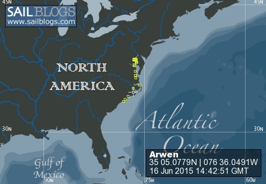
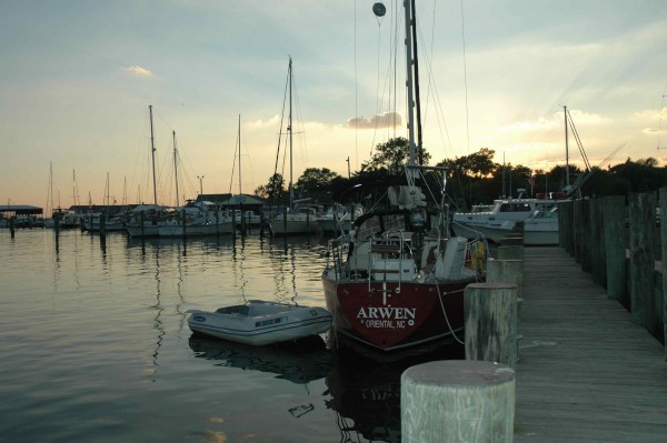
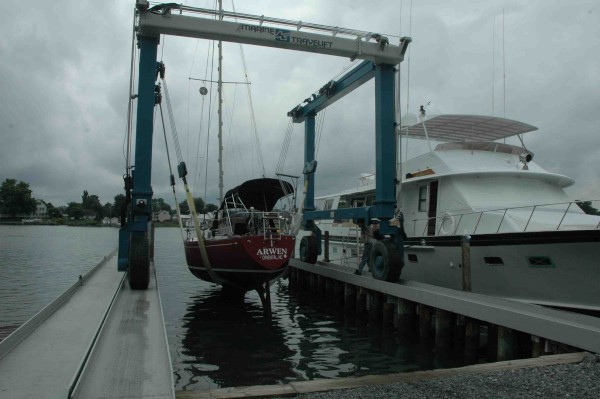
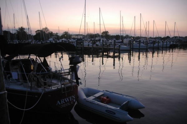
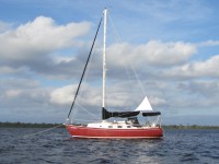
| Vessel Name: | Arwen |
| Vessel Make/Model: | Bristol 29.9 |
| Hailing Port: | Oriental, NC |
| Crew: | Robert Currie, Joy Franklin and Madison |
| Social: |
|
Arwen's Photos - Main
 |
 |
.jpg) |
 |
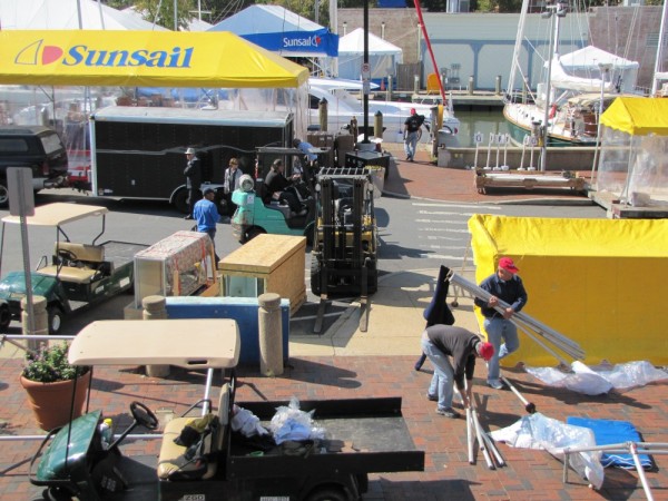
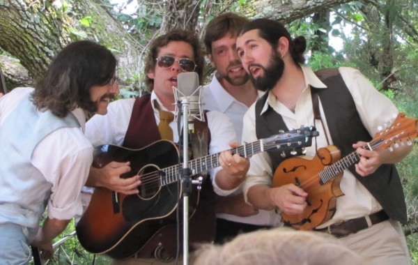
Photos from the waterfront, Fort Raleigh and the Aquarium
22 Photos
Created 24 July 2015
|
 |
 |
While we were at Ocracoke in early June, we visited Portsmouth Island for the first time. The State of North Carolina purchased the island in the 1970s and deeded it to the Federal Government for inclusion in Cape Lookout National Seashore. But for more than 200 years, it was home to a coastal community. Some homes, the school and the Methodist Church still stand on the island which can be reached only by boat.
19 Photos
Created 5 July 2015
|
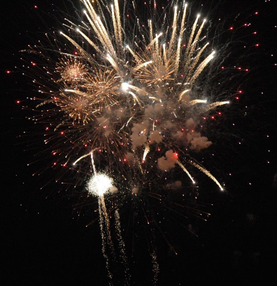 |
Images from the Croakerfest opening ceremonies, the Croakerfest parade and the July 4th fireworks in Oriental, one of a fairly dramatic lightning display we watched from the boatyard (rivaled the fireworks!), and one of an Oriental dragon (the town symbol) decked out for Independence Day. Fireworks photos by Robert.
32 Photos
Created 3 July 2015
|
.jpg) |
 |
 |
 |
 |
 |
 |
 |
 |
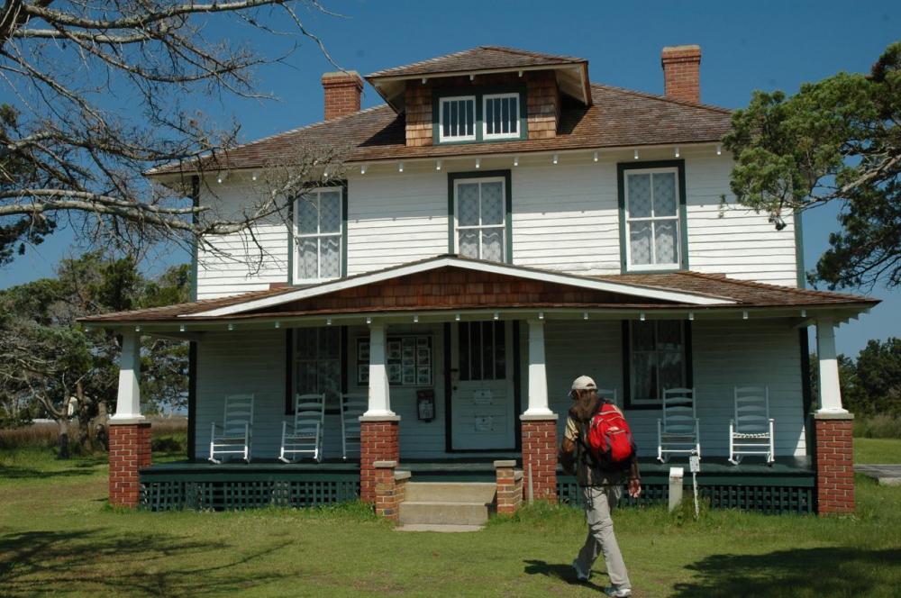
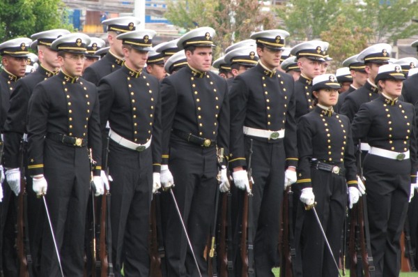
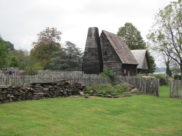
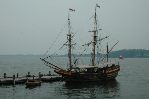
A tour of Elizabeth II, a coastal American Indian village and an English settlement.
24 Photos
Created 10 October 2013
|
 |
 |
 |
 |
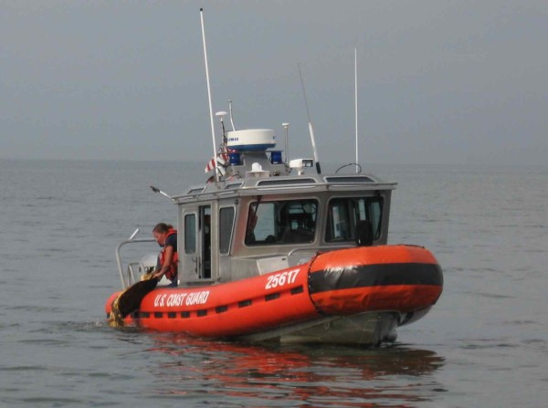 |
The Coast Guard and the Virginia Aquarium Stranding Response Team rescue a young loggerhead with pneumonia
13 Photos
Created 4 October 2013
|
 |
Of flying dinghies, nautical spiders and other miscellany
22 Photos
Created 4 October 2013
|
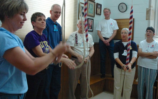 |
Photos from the annual general meeting of the North American Guild of Change Ringers in Hendersonville
44 Photos
Created 4 October 2013
|
 |
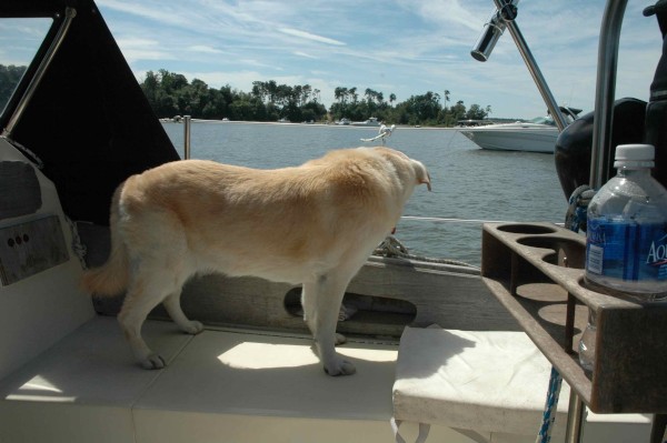
Sunsets, sailboats and salty dogs
14 Photos
Created 20 September 2013
|
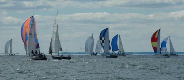 |
Taken Sept. 14 on the Chesapeake Bay between the mouth of the Severn River and the mouth of the Choptank River.
48 Photos
Created 20 September 2013
|
 |
 |
 |
A town with lots of interesting buildings
19 Photos
Created 20 September 2013
|
 |
 |
Images from a beautiful river
9 Photos
Created 8 September 2013
|
 |
 |
 |
 |
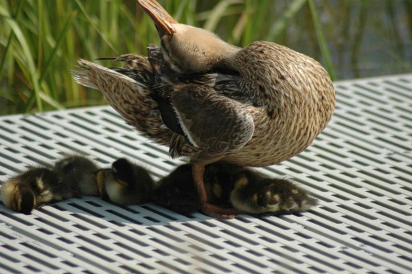 |
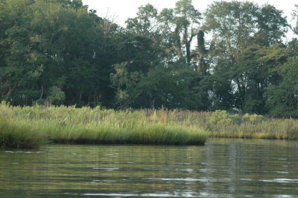
Everything's just ducky
6 Photos
Created 2 September 2013
|
 |
 |
 |
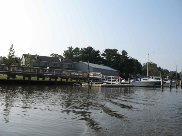
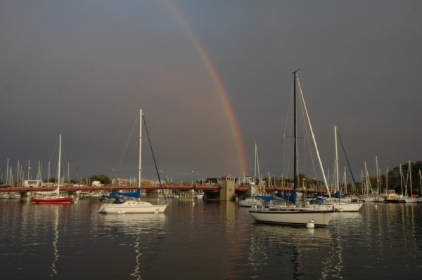
Scenes from Back Creek, Weems Creek and the Severn River
6 Photos
Created 28 August 2013
|
 |
 |
The Names of Things - with apologies to my friend John Wood who wrote a wonderful book by that title.
6 Photos
Created 23 August 2013
|
 |
 |
 |
 |
 |
 |
 |
 |
 |
 |
 |
 |
 |
 |
 |
 |
 |
 |
 |
 |
 |
 |
 |
 |
 |
 |
 |
 |
 |
 |
 |
 |
 |
 |
 |
 |
 |
 |
 |
 |
 |
 |
 |
 |
 |
 |
 |
 |
 |
 |
 |
 |
 |
 |
 |
 |
 |
|
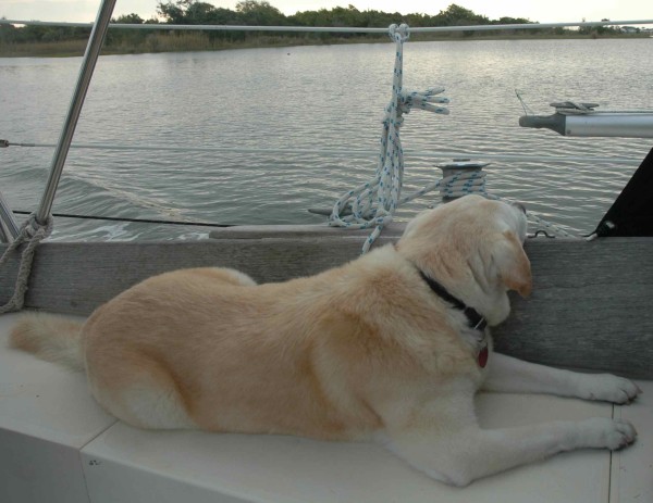
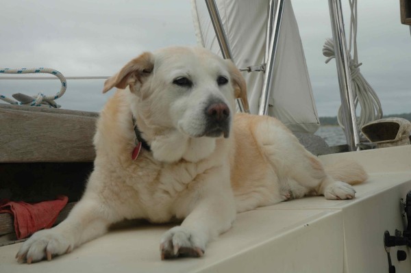
Who: Robert Currie, Joy Franklin and Madison
Port: Oriental, NC