
The Adventures of Alexandra and David
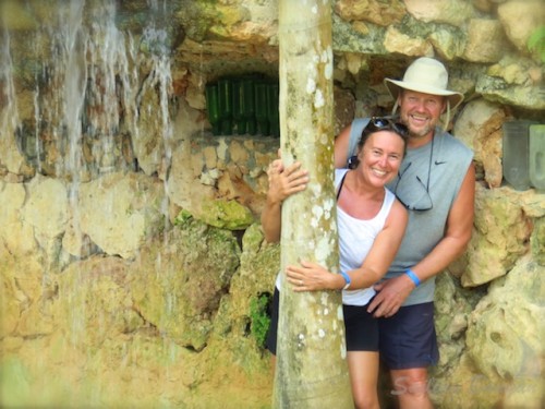
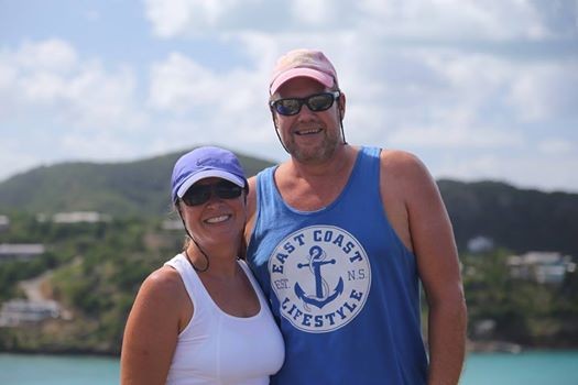
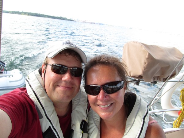
Who: David & Alexandra
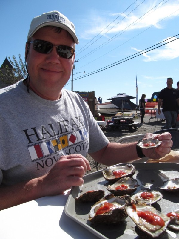
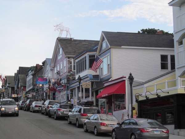
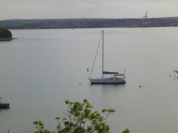
Port: Halifax, Nova Scotia
Our Adventures Thus Far
Favorites
- Author - Rob Avery
- Amoray
- AnneCam
- Distant Shores
- Evening Ebb
- Harmony at Sea
- Jacobs Ladder
- Kathrian
- Lequesteau
- Modaki
- Sea Sparrow
- Shiloh
- Slow Waltz
- Spirit of Argo
- Strathspey
- SV Mowzer
- Troubador
- Turf to Surf
- Wandering Star
- Dos Libras
- Pacific Sailors
- Zero to Cruising
- BUMFUZZLE
- Madcap Sailing
- Silverheels lll
- Peregrine
- Windtraveler
We're always Somewhere South of Somewhere.
The Banyan Love is Growing.

WebPage Visits We're on Facebook Sailing Banyan

Instagram: #banyantravels but we're not Tweeting. Our friends Paul and Sheryl Shard, of Distant Shores, are incredible producers of their very own TV Show. If you haven't already, check them out. Their DVD's are informative and fun to watch as they travel to all four corners of the world.
You might even find Banyan in some of them!!
Their DVD's are informative and fun to watch as they travel to all four corners of the world.
You might even find Banyan in some of them!!
WebPage Visits We're on Facebook Sailing Banyan
Instagram: #banyantravels but we're not Tweeting. Our friends Paul and Sheryl Shard, of Distant Shores, are incredible producers of their very own TV Show. If you haven't already, check them out.
Their DVD's are informative and fun to watch as they travel to all four corners of the world.
You might even find Banyan in some of them!! 23 March 2021 | Cole Harbour NS
30 May 2020
30 May 2019 | Catamaran Marina
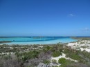
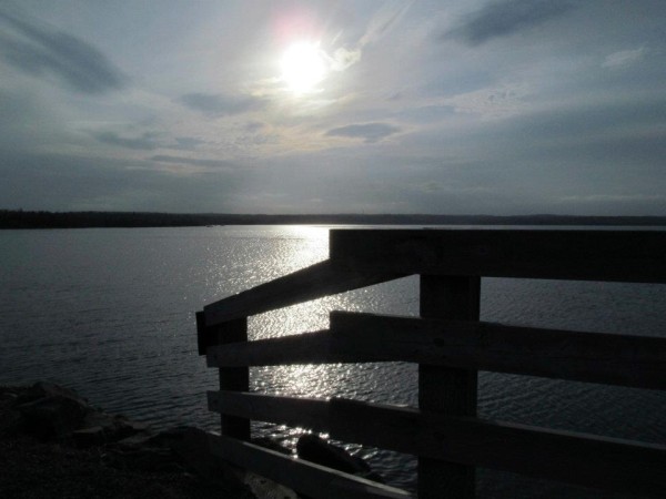
20 May 2019 | Shallow Sandbar by Livingston, Guatemala
18 May 2019 | Tres Puntas, Guatemala
14 May 2019 | Isla Guanaja to Isla Utila
11 May 2019 | Grand Cayman to Isla de Guanaja, Honduras
03 May 2019 | Grand Cayman
25 April 2019 | Errol Flyn Marina, Port Antonio, Jamaica
24 April 2019
18 April 2019 | Matthewtown, Great Inagua, Bahamas
14 April 2019 | Clarencetown, Long Island, Bahamas
10 April 2019 | To New Horizons... and Beyond!
05 April 2019 | Exumas, Bahamas
02 March 2019 | Staniel Cay, Cat Island, Bahamas
07 February 2019 | Cambridge Cay, Exumas, Bahamas
25 August 2018 | Halifax, NS
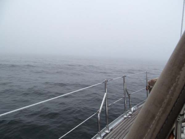
28 November 2017 | Somewhere on the Atlantic Ocean
22 November 2017
Who Knows Why?
25 April 2013 | Sint Maarten
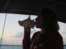
Alex, sunny, breezy, and nice !
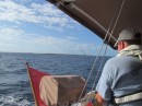
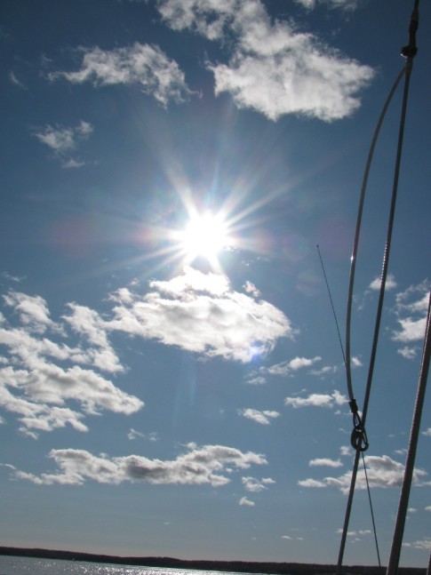
You know, what with living and cruising and sailing and motoring and having definitely earned some of my sea legs after 9 months of Banyan being on the water, you would think that some minor thing called motor sailing our way to St Martin against the grain would be FINE. Like hunky dory. Like, not a problem at all. 90 nm? Easy-peasy !! 15 knots of wind, yeah, so ? 2 meter seas, no worries !!
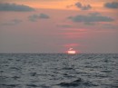
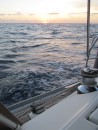
You know, weighing anchor at 1:30 in the dark of night did not faze me one bit. In my previous life I didn't much ever feel like doing anything in the wee hours of the night, but my oh my how times have changed. There's nothing quite like sailing in the beautiful starry-lit skies of night... And bonus, we had a beautiful night of it what with the full moon lighting our way so it wasn't totally pitch black, like it was when we weighed anchor at 4 in the morning heading out of Cape Fear, North Carolina, U.S.A.
You know, even making breakfasts, lunches and even dinners while bouncing around as we're underway, fancy things like pizza's and soups and stews and bacon and egg fajitas don't bother me much.
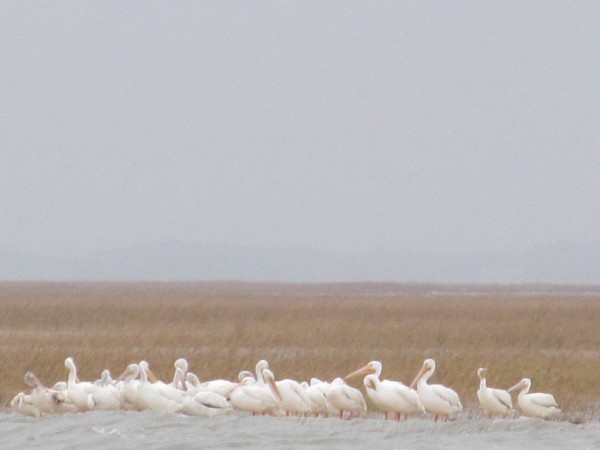
But yesterday, who knows why, I got the ugh-ies. From the moment we exited the very well marked channel, past Necker Island (which by the way, is a very private island owned by Richard Branson who is in the throes of building an eco-friendly, all green and who knows what else type of resort, where, if one is so inclined, can dole out the modest sum of $42,500 A NIGHT to stay at the villas and visit his acres where over 200 flamingo, amongst other creatures, idle about in his very natural type of zoo).
Who knows why, I felt instantly uncomfortable, and never really sea-sick as in feed the fish type of sea-sick, but enough to make me miserable, and want to do nothing but lay there and sleep all day long, and not move but just lie there, motionless, while we beated our way to our destination, that was what, still 14 hours away.
And then what seemed like an eternity had passed, it was only 13.58 hours away. And then I fell asleep some more, and when I woke up it was 13.56 hours away. Get the idea ? It was a long day.
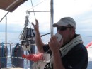
And poor Dave. He had a long day too. Who knows why?

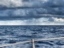
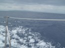
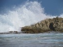
And that's not rain, those are serious salt water crystals from the greenies coming on deck that had with time, dried. You should see the rest of our boat.
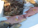
Thankfully I had done something the day before, that I never, ever do, cause I "never" get seasick, and don't mind cooking below while we're moving, but this time, who knows why, I had prepared sandwiches. Egg salad. And ham and swiss cheese. Fancy that ! Let me tell you, they sure came in handy, as I was not doing much of anything while he was on shift for the full 14 hours we were underway, and just starving to death, and I was laying there all pathetic like and sleeping most of the day away.
And then who knows why things happen like they do? Dave and I couldn't decide whether to go to St Kitts or St Martin, thinking that the winds would really favour our going to St Kitts and then go back up to St Martin at some other point in time. But then we noticed that Banyan gave herself a major boat bite. (What is it with the boat gremlins on board as of late ??).
A stud that holds the rear pulpit in place, had with time, sheared off and the stanchion had come loose. Not good. Especially since the radar pole is slightly connected to the whole rear rail (which admittedly adds to the stress of it all while bashing about in seas). So that needs (quite immediate) fixing. And that (quite immediately) answered our dilemma of where to go.
St Martin/Sint Maarten it was going to be, both places boasting excellent repair facilities. And who knows why they name ONE ISLAND two names ? It just gets confusing when trying to type it all the time and no one knows what's going on, or more specifically where we are.
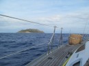
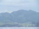
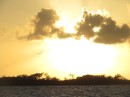
And what seemed like forever and a day later, we were soon coming within sight of The Leewards.

The Leewards are a chain of islands, Anguilla being the first and which we bypassed. The next is St Martin/Sint Maarten (read ONE island) and records show it's barely 7 miles long and 7 miles wide. The top (North) part of the island, St Martin, is French, the bottom (South) part is Dutch, and spelled Sint Maarten, but said St Martin, depending on your accent, who knows why ?
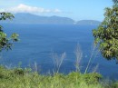
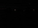
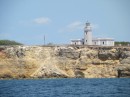
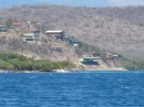
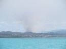
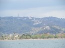
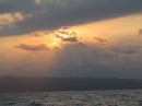
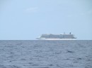
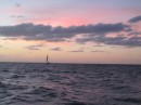
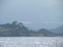
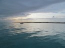
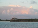
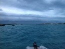
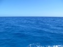
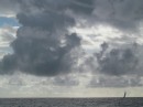
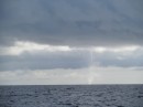
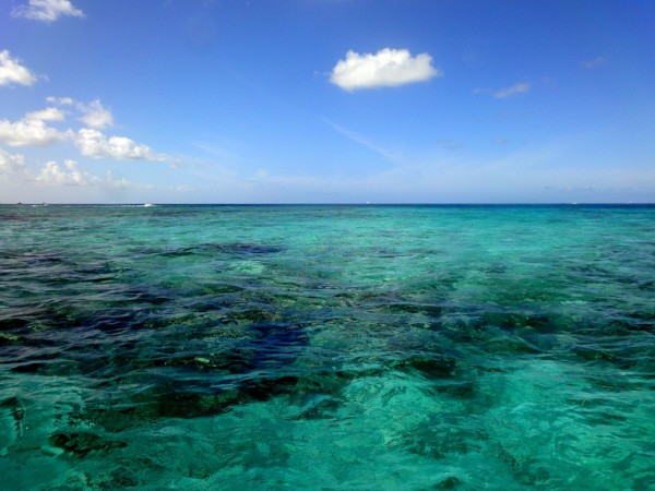
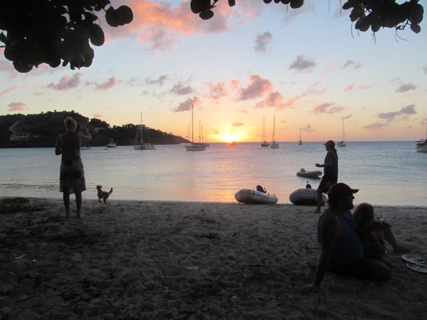
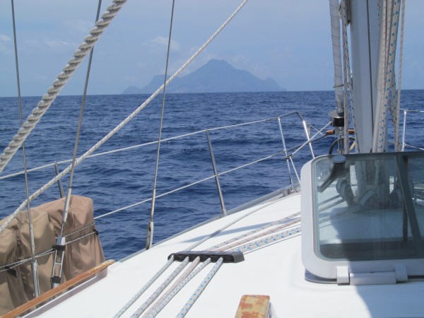
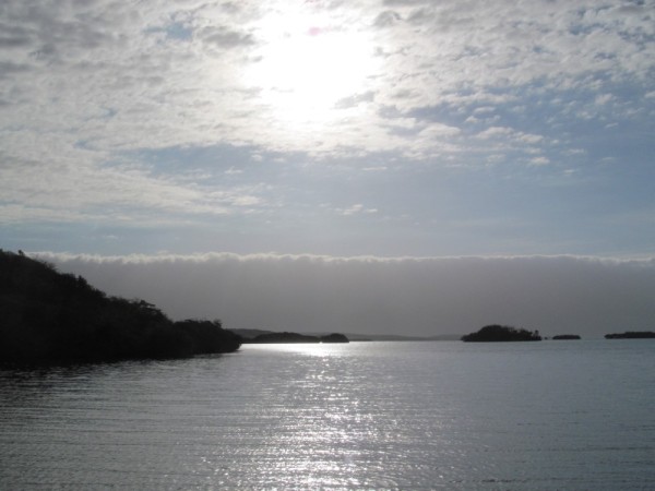
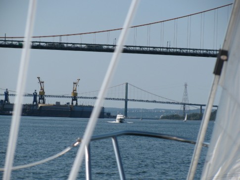
What you see here, off in the distance, is Saba Rock, the tip of it hidden in the mountains. Here's hoping that we get to visit there ?!?

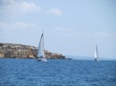
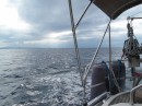
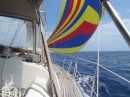
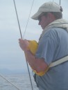
Who knows why the winds blow as they do. We motor sailed all the way, with a few bouts of just plain ole sailing, which was fantastic, as then I didn't smell the diesel which helped to not add to the nausea. But which altered our course just a tad further "South". And the North Swell being what it was, Dave said,
"Hmm, dear? I think the southern side may be more comfortable for anchoring".
I think I was asleep and failed to dis-agree with him, but really, just the thought of croissants and mile-feuilles were making me feel quite nauseous, so I really didn't much care where we went, as long as we got there, but fast.
And so, decision made, and approximately 14 hours after departing the BVI's,

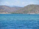
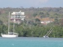
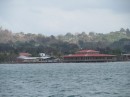
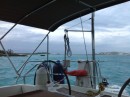
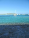
we anchored in Simpson Bay, in 12 feet of water (which we haven't done since the Bahamas!!) and exhaustedly got our sails and our lines put away, our stuff put back together again. Got dinghy off the deck and into the water, and Dave rode off to the Customs office to clear in (luckily Customs in Sint Maarten stays open until 18:00, but had we gone to St Martin, we would've had to wait until the next day as their offices close at 16:00), who knows why?
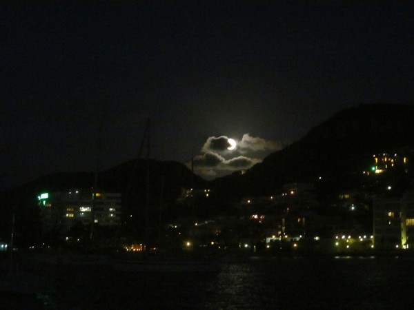
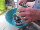
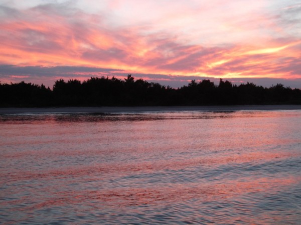
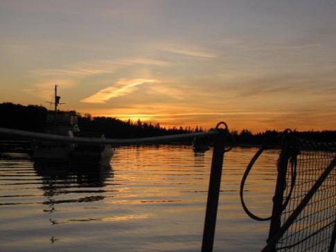
While he was gone, I prepped some comfort food of roasted chicken (with gravy no less), mashed potatoes and green beans. And Reese's peanut butter cups for an extra treat while we watched the spectacular full moon rise over the mountain-tops of of Sint Maarten, and
lights were out by 19:00 as we were exhausted, who knows why ?? LOL.
You know, weighing anchor at 1:30 in the dark of night did not faze me one bit. In my previous life I didn't much ever feel like doing anything in the wee hours of the night, but my oh my how times have changed. There's nothing quite like sailing in the beautiful starry-lit skies of night... And bonus, we had a beautiful night of it what with the full moon lighting our way so it wasn't totally pitch black, like it was when we weighed anchor at 4 in the morning heading out of Cape Fear, North Carolina, U.S.A.
You know, even making breakfasts, lunches and even dinners while bouncing around as we're underway, fancy things like pizza's and soups and stews and bacon and egg fajitas don't bother me much.
But yesterday, who knows why, I got the ugh-ies. From the moment we exited the very well marked channel, past Necker Island (which by the way, is a very private island owned by Richard Branson who is in the throes of building an eco-friendly, all green and who knows what else type of resort, where, if one is so inclined, can dole out the modest sum of $42,500 A NIGHT to stay at the villas and visit his acres where over 200 flamingo, amongst other creatures, idle about in his very natural type of zoo).
Who knows why, I felt instantly uncomfortable, and never really sea-sick as in feed the fish type of sea-sick, but enough to make me miserable, and want to do nothing but lay there and sleep all day long, and not move but just lie there, motionless, while we beated our way to our destination, that was what, still 14 hours away.
And then what seemed like an eternity had passed, it was only 13.58 hours away. And then I fell asleep some more, and when I woke up it was 13.56 hours away. Get the idea ? It was a long day.
And poor Dave. He had a long day too. Who knows why?
And that's not rain, those are serious salt water crystals from the greenies coming on deck that had with time, dried. You should see the rest of our boat.
Thankfully I had done something the day before, that I never, ever do, cause I "never" get seasick, and don't mind cooking below while we're moving, but this time, who knows why, I had prepared sandwiches. Egg salad. And ham and swiss cheese. Fancy that ! Let me tell you, they sure came in handy, as I was not doing much of anything while he was on shift for the full 14 hours we were underway, and just starving to death, and I was laying there all pathetic like and sleeping most of the day away.
And then who knows why things happen like they do? Dave and I couldn't decide whether to go to St Kitts or St Martin, thinking that the winds would really favour our going to St Kitts and then go back up to St Martin at some other point in time. But then we noticed that Banyan gave herself a major boat bite. (What is it with the boat gremlins on board as of late ??).
A stud that holds the rear pulpit in place, had with time, sheared off and the stanchion had come loose. Not good. Especially since the radar pole is slightly connected to the whole rear rail (which admittedly adds to the stress of it all while bashing about in seas). So that needs (quite immediate) fixing. And that (quite immediately) answered our dilemma of where to go.
St Martin/Sint Maarten it was going to be, both places boasting excellent repair facilities. And who knows why they name ONE ISLAND two names ? It just gets confusing when trying to type it all the time and no one knows what's going on, or more specifically where we are.
And what seemed like forever and a day later, we were soon coming within sight of The Leewards.
The Leewards are a chain of islands, Anguilla being the first and which we bypassed. The next is St Martin/Sint Maarten (read ONE island) and records show it's barely 7 miles long and 7 miles wide. The top (North) part of the island, St Martin, is French, the bottom (South) part is Dutch, and spelled Sint Maarten, but said St Martin, depending on your accent, who knows why ?
What you see here, off in the distance, is Saba Rock, the tip of it hidden in the mountains. Here's hoping that we get to visit there ?!?
Who knows why the winds blow as they do. We motor sailed all the way, with a few bouts of just plain ole sailing, which was fantastic, as then I didn't smell the diesel which helped to not add to the nausea. But which altered our course just a tad further "South". And the North Swell being what it was, Dave said,
"Hmm, dear? I think the southern side may be more comfortable for anchoring".
I think I was asleep and failed to dis-agree with him, but really, just the thought of croissants and mile-feuilles were making me feel quite nauseous, so I really didn't much care where we went, as long as we got there, but fast.
And so, decision made, and approximately 14 hours after departing the BVI's,
we anchored in Simpson Bay, in 12 feet of water (which we haven't done since the Bahamas!!) and exhaustedly got our sails and our lines put away, our stuff put back together again. Got dinghy off the deck and into the water, and Dave rode off to the Customs office to clear in (luckily Customs in Sint Maarten stays open until 18:00, but had we gone to St Martin, we would've had to wait until the next day as their offices close at 16:00), who knows why?
While he was gone, I prepped some comfort food of roasted chicken (with gravy no less), mashed potatoes and green beans. And Reese's peanut butter cups for an extra treat while we watched the spectacular full moon rise over the mountain-tops of of Sint Maarten, and
lights were out by 19:00 as we were exhausted, who knows why ?? LOL.
Comments
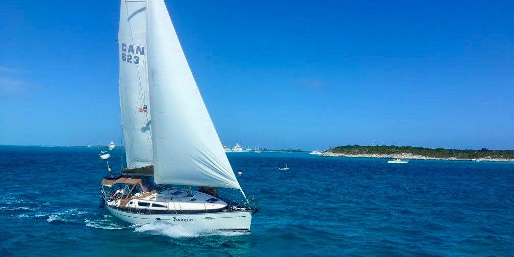
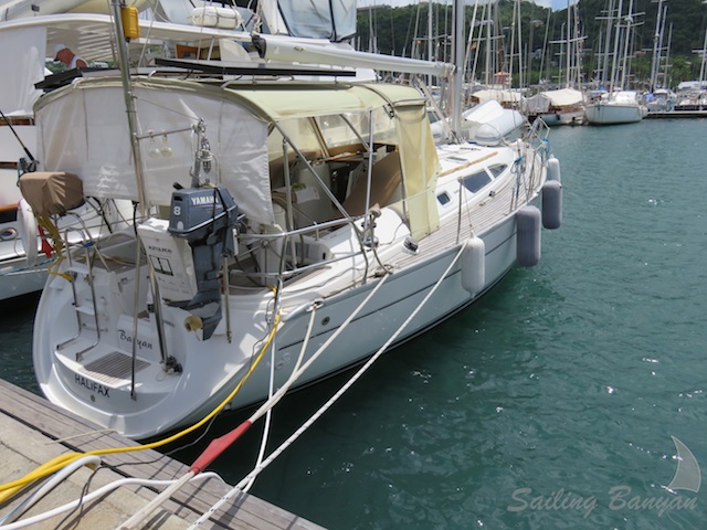
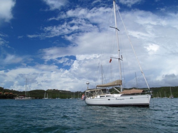
| Vessel Name: | Banyan |
| Vessel Make/Model: | Jeanneau 40 Sun Odyssey |
| Hailing Port: | Halifax, Nova Scotia |
| Crew: | David & Alexandra |
| About: | |
| Extra: | CHART YOUR COURSE: Our destiny is shaped by our thoughts and actions. We cannot direct the wind but we can adjust the sails. |
| Social: |
|
Banyan's Photos - Main
Photos 1 to 117 of 117 |
1 |
 |
 |
 |
 |
 |
 |
 |
 |
 |
 |
 |
 |
 |
 |
 |
 |
 |
 |
 |
 |
 |
 |
 |
 |
 |
 |
 |
 |
 |
 |
 |
 |
 |
 |
 |
 |
 |
 |
 |
 |
 |
 |
 |
 |
 |
 |
 |
 |
 |
 |
 |
 |
 |
 |
 |
 |
 |
 |
 |
 |
 |
 |
 |
 |
 |
 |
 |
 |
 |
 |
 |
 |
 |
 |
 |
 |
 |
 |
 |
 |
 |
 |
 |
 |
 |
 |
 |
 |
 |
 |
 |
 |
 |
 |
 |
 |
 |
 |
 |
 |
 |
 |
 |
 |
 |
 |
 |
 |
 |
 |
 |
 |
 |
 |
 |
 |
 |
1 |
 |
|
|
|
|
|
|
|
|
|
|
|
|
|
|
|
|
 |
|
|
 |
|
|
|
|
|
|
|
|
|
|
|
|
|
|
|
 |
|
|
 |
 |
 |
 |
 |
 |
 |
 |
 |
 |
 |
 |
 |
 |
 |
 |
 |
 |
 |
 |
 |
 |
 |
 |
 |
 |
 |
 |
 |
 |
 |
 |
|
 |
|
 |
 |
 |
 |
 |
 |
 |
 |
 |
 |
 |
 |
 |
 |
 |
|
 |
 |
 |
 |
 |
 |
 |
 |
 |
 |
 |
 |
 |
 |
 |
 |
 |
 |
Photos from the first ever sailing Regatta to raise money for Breast Cancer research
12 Photos
Created 12 July 2009
|
 |
 |
The Adventures of Alexandra and David
Who: David & Alexandra
Port: Halifax, Nova Scotia
Our Adventures Thus Far
Favorites
- Author - Rob Avery
- Amoray
- AnneCam
- Distant Shores
- Evening Ebb
- Harmony at Sea
- Jacobs Ladder
- Kathrian
- Lequesteau
- Modaki
- Sea Sparrow
- Shiloh
- Slow Waltz
- Spirit of Argo
- Strathspey
- SV Mowzer
- Troubador
- Turf to Surf
- Wandering Star
- Dos Libras
- Pacific Sailors
- Zero to Cruising
- BUMFUZZLE
- Madcap Sailing
- Silverheels lll
- Peregrine
- Windtraveler
We're always Somewhere South of Somewhere.
The Banyan Love is Growing.
WebPage Visits We're on Facebook Sailing Banyan
Instagram: #banyantravels but we're not Tweeting. Our friends Paul and Sheryl Shard, of Distant Shores, are incredible producers of their very own TV Show. If you haven't already, check them out.
Their DVD's are informative and fun to watch as they travel to all four corners of the world.
You might even find Banyan in some of them!!
WebPage Visits We're on Facebook Sailing Banyan
Instagram: #banyantravels but we're not Tweeting. Our friends Paul and Sheryl Shard, of Distant Shores, are incredible producers of their very own TV Show. If you haven't already, check them out.
Their DVD's are informative and fun to watch as they travel to all four corners of the world.
You might even find Banyan in some of them!!