
The Adventures of Alexandra and David
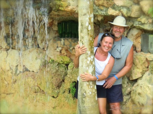
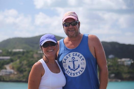
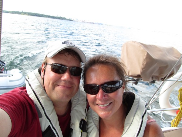
Who: David & Alexandra
Port: Halifax, Nova Scotia
Our Adventures Thus Far
Favorites
- Author - Rob Avery
- Amoray
- AnneCam
- Distant Shores
- Evening Ebb
- Harmony at Sea
- Jacobs Ladder
- Kathrian
- Lequesteau
- Modaki
- Sea Sparrow
- Shiloh
- Slow Waltz
- Spirit of Argo
- Strathspey
- SV Mowzer
- Troubador
- Turf to Surf
- Wandering Star
- Dos Libras
- Pacific Sailors
- Zero to Cruising
- BUMFUZZLE
- Madcap Sailing
- Silverheels lll
- Peregrine
- Windtraveler
We're always Somewhere South of Somewhere.
The Banyan Love is Growing.

WebPage Visits We're on Facebook Sailing Banyan

Instagram: #banyantravels but we're not Tweeting. Our friends Paul and Sheryl Shard, of Distant Shores, are incredible producers of their very own TV Show. If you haven't already, check them out. Their DVD's are informative and fun to watch as they travel to all four corners of the world.
You might even find Banyan in some of them!!
Their DVD's are informative and fun to watch as they travel to all four corners of the world.
You might even find Banyan in some of them!!
WebPage Visits We're on Facebook Sailing Banyan
Instagram: #banyantravels but we're not Tweeting. Our friends Paul and Sheryl Shard, of Distant Shores, are incredible producers of their very own TV Show. If you haven't already, check them out.
Their DVD's are informative and fun to watch as they travel to all four corners of the world.
You might even find Banyan in some of them!! 23 March 2021 | Cole Harbour NS
30 May 2020
30 May 2019 | Catamaran Marina
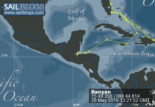
20 May 2019 | Shallow Sandbar by Livingston, Guatemala
18 May 2019 | Tres Puntas, Guatemala
14 May 2019 | Isla Guanaja to Isla Utila
11 May 2019 | Grand Cayman to Isla de Guanaja, Honduras
03 May 2019 | Grand Cayman
25 April 2019 | Errol Flyn Marina, Port Antonio, Jamaica
24 April 2019
18 April 2019 | Matthewtown, Great Inagua, Bahamas
14 April 2019 | Clarencetown, Long Island, Bahamas
10 April 2019 | To New Horizons... and Beyond!
05 April 2019 | Exumas, Bahamas
02 March 2019 | Staniel Cay, Cat Island, Bahamas
07 February 2019 | Cambridge Cay, Exumas, Bahamas
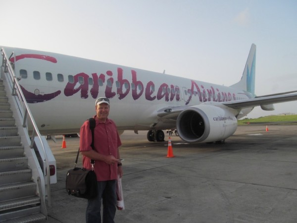
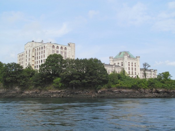
25 August 2018 | Halifax, NS
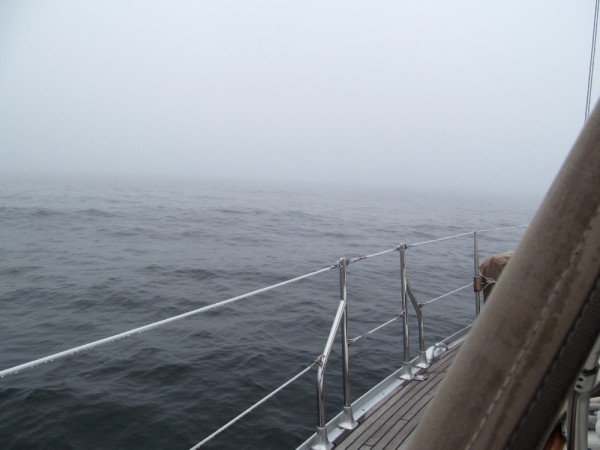
28 November 2017 | Somewhere on the Atlantic Ocean
22 November 2017
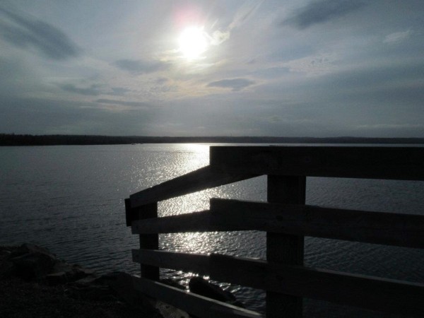
Oh My Current
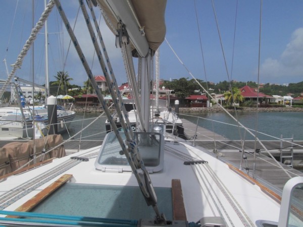
06 June 2013 | Port Elizabeth, Bequia
Alex, hazy, hot
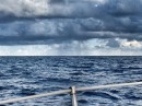
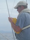
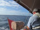
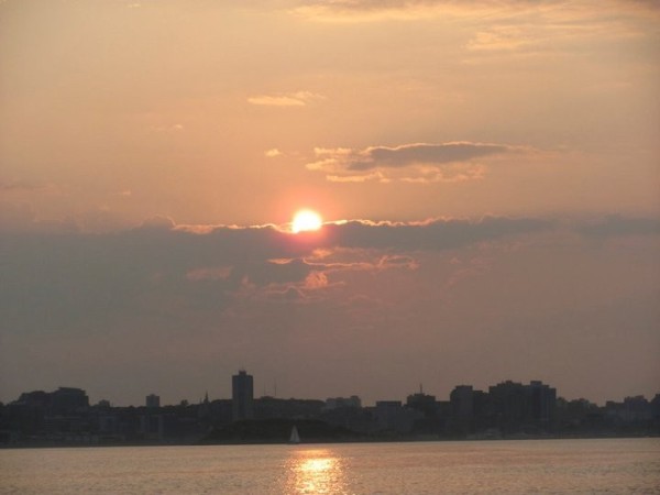
The voyage across to Bequia begins with a single step. Or mile. Or nautical mile in our case. We had, according to our iPad APP approx 80 miles to go. So we best get up and at 'em right? Right, where's the coffee Skipper?
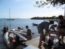
And so we weighed anchor just as the sun was waking up, waved bye-bye to Zero to Cruising (hope to see you again and soon!), who was still snoozing (shame, shame) and started our journey down the coast of Saint Lucia,
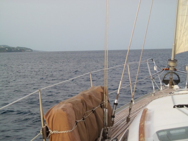
motor sailing as we were charging up the batteries and running our water-maker.
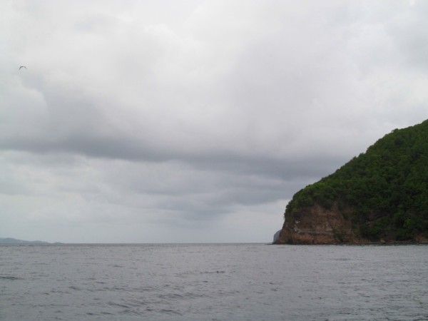
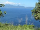
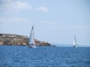
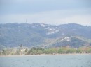
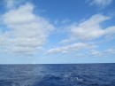
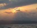
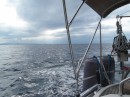
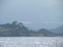
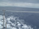
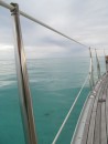
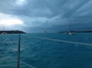
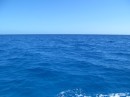
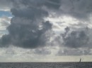
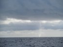
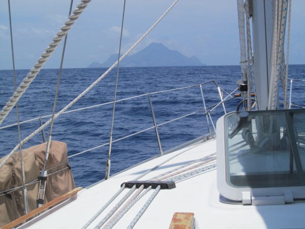
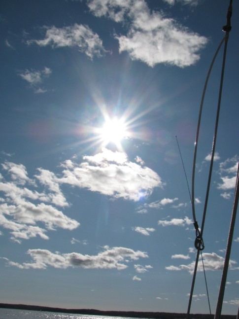
The skies were a hazy type of grey, and the impressive lushness of Saint Lucia was not as spectacularly vivid as we would imagine it to be had the lighting conditions been better,
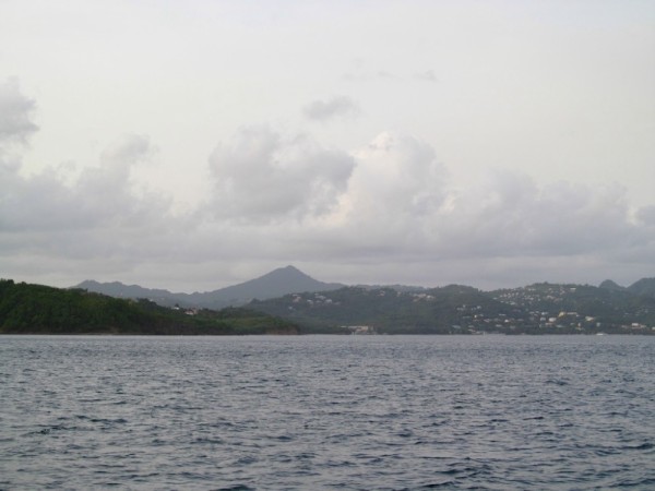
however still feeling very tiny and insignificant as we moved happily down the coast, crossing the miles off our journey, one by one.
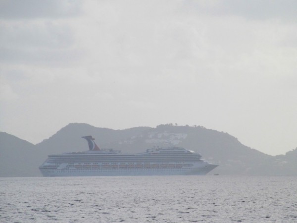
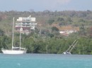
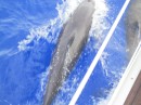
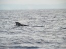
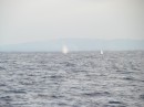
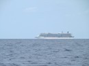
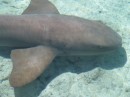
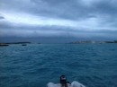
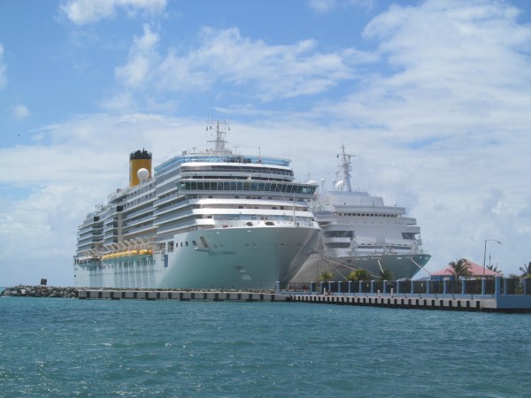
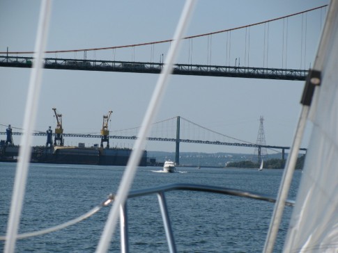
After a week of hiding from the winds and weather, there were as many of us on the move (one the same leg as us) as we might have thought, however, we did come across this big guy,
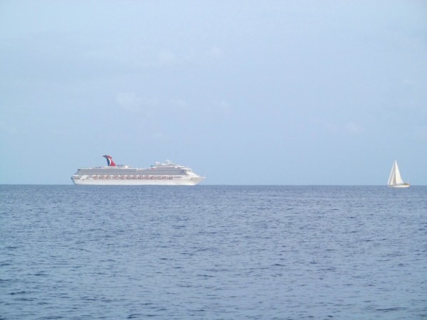
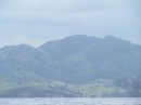
who then turned towards land to the cruise ship dock, her passengers undoubtedly excitedly waiting for their Saint Lucian excursions to begin,
towards the rain forests and volcanic hikes, or better yet the pitons,
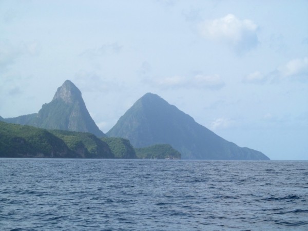
rising majestically towards the sky.
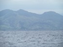
Which made me curious, what ARE pitons anyways? WIKI defines them as two volcanic plugs. Un-huh, and just what are (volcanic) plugs? Thank goodness we live in a knowledge is just a click away type of world (when WiFi is cooperating of course), where I learned that a volcanic plug is a "volcanic landform created when magma hardens within a vent on an active volcano". Thanks WIKI.
And so the pitons are now eroded cone shaped lava domes that were formed when the volcano was erupting. Innaresting... (and can't wait to come back here next season to hike, explore and inhale and bask and play on this island!)
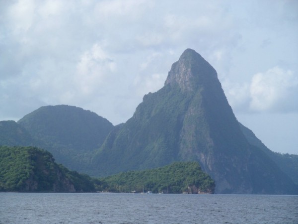
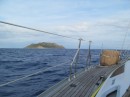
There is Gros Piton and Petit Piton, which aptly translate to Large Piton and Little Piton (who was naming these now?), and then before you knew it, we'd cleared the effects of land, the pitons behind us,

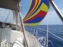
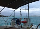
heading towards a few hours of a crossing, and Dave says,
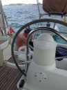
"Babe, look...we're just moving along..."
(hint, remember the lower number, aka speed, on the salt encrusted display)
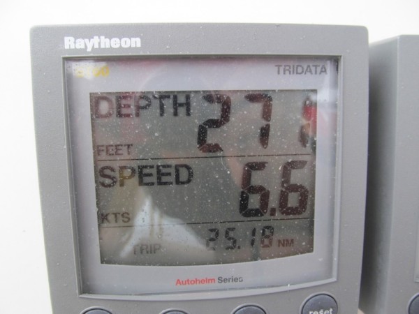
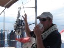
"But, honey..." says I,
(hint, check out the SOG number)
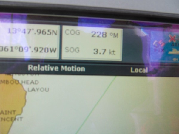
So here's your trick question of the day today, can you tell us what's wrong with this? Sailing along (no motoring as our water tanks were full and engine was off) at a wonderful 6.6 (woo-hoo) but only doing 3.7 !! WTF ??
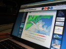
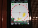
And here's a quick diagram, as to why,
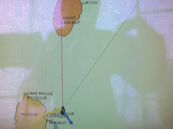
The little black diamond shape is us. The yellow arrow is the wind pushing us along. Nice. You need wind to sail. And we were sailing along nicely (theoretically) at 6.6 knots.
The blue arrow, pointing in the very wrong direction, is the current. Current slowing our progress by an impressive 3 knots ! WOW. So we were effectively moving along at 3.7 knots speed, and having to cover over 80 nautical miles, well we weren't going to get anywhere fast. Yikes...
The cruising guides did say to "allow for plenty of time" when doing this crossing. Indeed, we had counted on plenty of time, but had not counted on doubling our time.
Oh and the red line pointing straight ahead to Saint Vincent is where we want to go. The green line pointing very East of Saint Vincent is where we were heading, how are those calculations coming along Dave?
Needless to say, after an hour or so, the current lessened. We'd adjusted our track to use the effects of the current to push us along somewhat and then re-adjusted. A bit of an S-curve if you will.
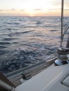
And then after almost 12 hours at sea, 81 nm later, we arrived
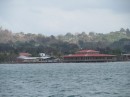
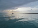
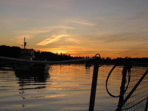
and tucked in nicely into Admiralty Bay, near the town of Port Elizabeth, Bequia (Bequia is the largest island of the Saint Vincent and the Grenadines), just before the squall hit, which thankfully washed the salts off, and
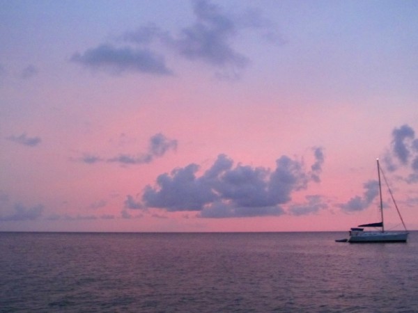
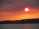
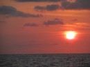
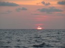
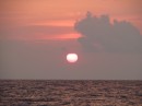
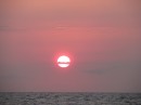
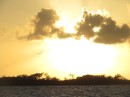
over a delicious supper of spinach filled tortellini in Shrimp Alfredo Sauce, we watched the sun set and were fast asleep before the dishes got done.
And so we weighed anchor just as the sun was waking up, waved bye-bye to Zero to Cruising (hope to see you again and soon!), who was still snoozing (shame, shame) and started our journey down the coast of Saint Lucia,
motor sailing as we were charging up the batteries and running our water-maker.
The skies were a hazy type of grey, and the impressive lushness of Saint Lucia was not as spectacularly vivid as we would imagine it to be had the lighting conditions been better,
however still feeling very tiny and insignificant as we moved happily down the coast, crossing the miles off our journey, one by one.
After a week of hiding from the winds and weather, there were as many of us on the move (one the same leg as us) as we might have thought, however, we did come across this big guy,
who then turned towards land to the cruise ship dock, her passengers undoubtedly excitedly waiting for their Saint Lucian excursions to begin,
towards the rain forests and volcanic hikes, or better yet the pitons,
rising majestically towards the sky.
Which made me curious, what ARE pitons anyways? WIKI defines them as two volcanic plugs. Un-huh, and just what are (volcanic) plugs? Thank goodness we live in a knowledge is just a click away type of world (when WiFi is cooperating of course), where I learned that a volcanic plug is a "volcanic landform created when magma hardens within a vent on an active volcano". Thanks WIKI.
And so the pitons are now eroded cone shaped lava domes that were formed when the volcano was erupting. Innaresting... (and can't wait to come back here next season to hike, explore and inhale and bask and play on this island!)
There is Gros Piton and Petit Piton, which aptly translate to Large Piton and Little Piton (who was naming these now?), and then before you knew it, we'd cleared the effects of land, the pitons behind us,
heading towards a few hours of a crossing, and Dave says,
"Babe, look...we're just moving along..."
(hint, remember the lower number, aka speed, on the salt encrusted display)
"But, honey..." says I,
(hint, check out the SOG number)
So here's your trick question of the day today, can you tell us what's wrong with this? Sailing along (no motoring as our water tanks were full and engine was off) at a wonderful 6.6 (woo-hoo) but only doing 3.7 !! WTF ??
And here's a quick diagram, as to why,
The little black diamond shape is us. The yellow arrow is the wind pushing us along. Nice. You need wind to sail. And we were sailing along nicely (theoretically) at 6.6 knots.
The blue arrow, pointing in the very wrong direction, is the current. Current slowing our progress by an impressive 3 knots ! WOW. So we were effectively moving along at 3.7 knots speed, and having to cover over 80 nautical miles, well we weren't going to get anywhere fast. Yikes...
The cruising guides did say to "allow for plenty of time" when doing this crossing. Indeed, we had counted on plenty of time, but had not counted on doubling our time.
Oh and the red line pointing straight ahead to Saint Vincent is where we want to go. The green line pointing very East of Saint Vincent is where we were heading, how are those calculations coming along Dave?
Needless to say, after an hour or so, the current lessened. We'd adjusted our track to use the effects of the current to push us along somewhat and then re-adjusted. A bit of an S-curve if you will.
And then after almost 12 hours at sea, 81 nm later, we arrived
and tucked in nicely into Admiralty Bay, near the town of Port Elizabeth, Bequia (Bequia is the largest island of the Saint Vincent and the Grenadines), just before the squall hit, which thankfully washed the salts off, and
over a delicious supper of spinach filled tortellini in Shrimp Alfredo Sauce, we watched the sun set and were fast asleep before the dishes got done.
Comments
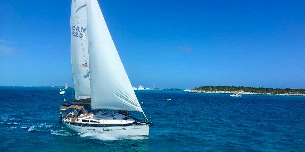
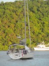
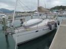
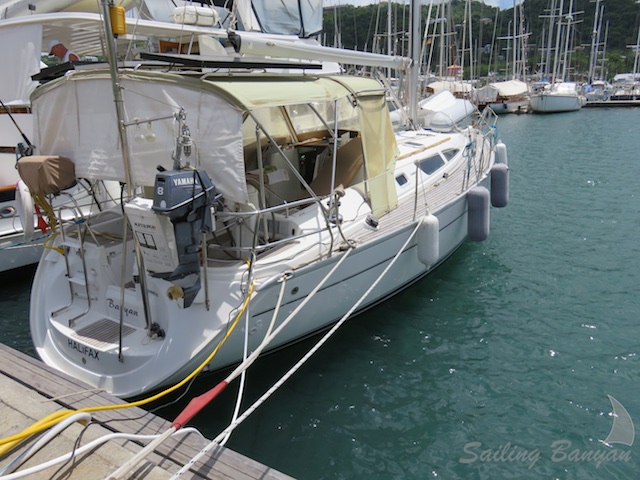
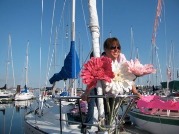
| Vessel Name: | Banyan |
| Vessel Make/Model: | Jeanneau 40 Sun Odyssey |
| Hailing Port: | Halifax, Nova Scotia |
| Crew: | David & Alexandra |
| About: | |
| Extra: | CHART YOUR COURSE: Our destiny is shaped by our thoughts and actions. We cannot direct the wind but we can adjust the sails. |
| Social: |
|
Banyan's Photos - Main
Photos 1 to 117 of 117 |
1 |
 |
 |
 |
 |
 |
 |
 |
 |
 |
 |
 |
 |
 |
 |
 |
 |
 |
 |
 |
 |
 |
 |
 |
 |
 |
 |
 |
 |
 |
 |
 |
 |
 |
 |
 |
 |
 |
 |
 |
 |
 |
 |
 |
 |
 |
 |
 |
 |
 |
 |
 |
 |
 |
 |
 |
 |
 |
 |
 |
 |
 |
 |
 |
 |
 |
 |
 |
 |
 |
 |
 |
 |
 |
 |
 |
 |
 |
 |
 |
 |
 |
 |
 |
 |
 |
 |
 |
 |
 |
 |
 |
 |
 |
 |
 |
 |
 |
 |
 |
 |
 |
 |
 |
 |
 |
 |
 |
 |
 |
 |
 |
 |
 |
 |
 |
 |
 |
1 |
 |
|
|
|
|
|
|
|
|
|
|
|
|
|
|
|
|
 |
|
|
 |
|
|
|
|
|
|
|
|
|
|
|
|
|
|
|
 |
|
|
 |
 |
 |
 |
 |
 |
 |
 |
 |
 |
 |
 |
 |
 |
 |
 |
 |
 |
 |
 |
 |
 |
 |
 |
 |
 |
 |
 |
 |
 |
 |
 |
|
 |
|
 |
 |
 |
 |
 |
 |
 |
 |
 |
 |
 |
 |
 |
 |
 |
|
 |
 |
 |
 |
 |
 |
 |
 |
 |
 |
 |
 |
 |
 |
 |
 |
 |
 |
Photos from the first ever sailing Regatta to raise money for Breast Cancer research
12 Photos
Created 12 July 2009
|
 |
 |
The Adventures of Alexandra and David
Who: David & Alexandra
Port: Halifax, Nova Scotia
Our Adventures Thus Far
Favorites
- Author - Rob Avery
- Amoray
- AnneCam
- Distant Shores
- Evening Ebb
- Harmony at Sea
- Jacobs Ladder
- Kathrian
- Lequesteau
- Modaki
- Sea Sparrow
- Shiloh
- Slow Waltz
- Spirit of Argo
- Strathspey
- SV Mowzer
- Troubador
- Turf to Surf
- Wandering Star
- Dos Libras
- Pacific Sailors
- Zero to Cruising
- BUMFUZZLE
- Madcap Sailing
- Silverheels lll
- Peregrine
- Windtraveler
We're always Somewhere South of Somewhere.
The Banyan Love is Growing.
WebPage Visits We're on Facebook Sailing Banyan
Instagram: #banyantravels but we're not Tweeting. Our friends Paul and Sheryl Shard, of Distant Shores, are incredible producers of their very own TV Show. If you haven't already, check them out.
Their DVD's are informative and fun to watch as they travel to all four corners of the world.
You might even find Banyan in some of them!!
WebPage Visits We're on Facebook Sailing Banyan
Instagram: #banyantravels but we're not Tweeting. Our friends Paul and Sheryl Shard, of Distant Shores, are incredible producers of their very own TV Show. If you haven't already, check them out.
Their DVD's are informative and fun to watch as they travel to all four corners of the world.
You might even find Banyan in some of them!!