Cailin Lomhara
Some stories of our life wandering the oceans, along with some random thoughts on matters either important or trivial. Through words and pictures it is our way to share our life a bit, perhaps even what we learn along the way.

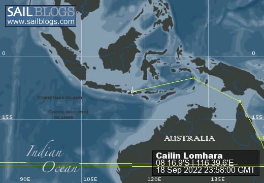
18 September 2022 | 08 16.9'S:116 39.6'E, Bali Sea
22 July 2022 | 05 05.0'S:131 02.6'E, Banda Sea
08 July 2022 | 10 34.2'S:142 03.3'E, Torres Strait, Arafura Sea
01 June 2022 | Coral Sea, East Coast Australia
11 April 2022 | 32 14.9'S:152 41.2'E, Tasman Sea, East Coast Australia
10 April 2022 | Newcastle, Australia Tasman Sea
24 December 2020 | Royal Prince Alfred Yacht Club, Newport, NSW, Austrailia
05 June 2020 | Ku-Ring-Gai-Chase National Park, NSW, Australia
21 March 2020 | Sydney Harbour
15 March 2020 | Tasman Sea
15 March 2020 | Port Arthur, Tasmania
12 March 2020 | Port Arthur, Tasmania
10 January 2020 | Prince of Wales Bay
31 December 2019 | 42 53.0'S:147 20.15'E, Hobart, Tasmania
29 December 2019 | 41 06.6'S:149 49.8'E, Tasman Sea
28 December 2019 | 39 42.26'S:149 58.0'E, South of Bass Strait, Tasman Sea
27 December 2019 | 36 59.9'S:151 04.4'E, Southbound Off the Coast of Australia
26 December 2019 | 35 17.3'S:151 23.5'E, Southbound Off the Coast of Australia
25 December 2019 | Cruising Yacht Club of Australia, Sydney
17 December 2019 | Cruising Yacht Club of Australia, Sydney
Final night for this leg of our voyage
06 January 2017
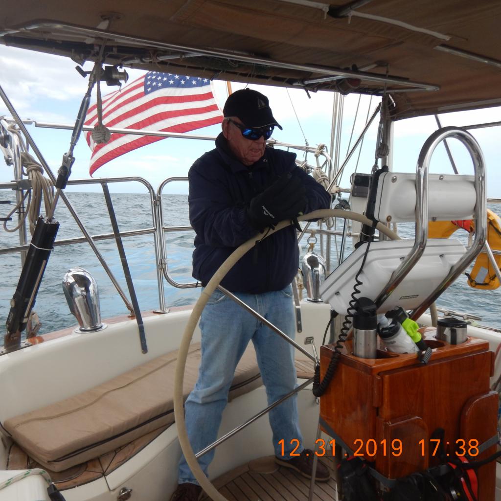
Larry Green
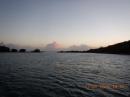
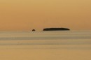
Every passage has a final night at sea and for this leg of our trip tonight is it. Rather unusual for us is we are attempting to sail slowly, as we much prefer to enter a strange and new harbor during daylight. When planning a passage we always take into account what our likely arrival time will be in order to depart early or late enough to pretty much assure us of a daytime arrival. There were a few reasons for this one being a bit more difficult to calculate. The easy one is Columbia lies in a different time zone than we have been, i.e. we were on Atlantic Standard Time and Columbia is on Eastern Standard Time. Yesterday I found it a bit strange that sunrise did not happen until a little after 0700 (by my watch) Today it will be at 0617 now that all the clocks and systems have been adjusted. We could have departed a couple of hours later with no problems. The second issue that made the planning unusual for this passage is that I am trying a new weather routing program, which has some similarities to a Chinese restaurant menu, way too many choices. The weather program I have been using (and will continue)is operated by OCENS and they provide an incredible array of traditional weather products that are static views of what weather feature you choose, for what area and time period. Generally they way I have used that is to find suitible weather along a route I have determined. The program I am trying out uses four well known weather models and, based on input about your preferences and boat performance it provides four detailed routes to choose from. Since they are also forecasts, it is not as simple as saying I will pick route x and follow it. The idea is to find a time when all the models are in reasonably close agreement then build your own route from that. The neat thing is that every 12 hours I can get an email with an updated forecast based on where I am at then, so as weather changes you can get up to date information on how to change your route or what conditions to expect. The OCENS program will do the same type of thing except I have to do all the work of comparing original forecasts to newer ones etc. Anyway, for this passage I am trying it out and so far I like it a lot. It will take more use to become totally comfortable so we shall see. Incidentally, the bottom right hand side of the blog page has a link to the Predict Wind tracking program. It was working whe n we left, but I need internet access to see if it has been working throughout the trip. Finally, I was off watch catching some zzs when Charlene woke me to let me know we had a new tear in out mainsail. Fortunately it was low on the sail so I could reef the sail sufficiently to protect it from further damage. The really bad news is that is number 3 in less than 6 months suggesting a new mainsail is in order really soon. More later...
Comments
| Vessel Name: | Cailin Lomhara |
| Vessel Make/Model: | Tayana 52 |
| Hailing Port: | Anna Maria Island, FL |
| Crew: | Charlene Green & Larry Green |
| About: | |
| Extra: | |
| Home Page: | www.predictwind.com/forecasts/display/CailinLomhara |
| Social: |
|
Cailin Lomhara's Photos - Main
 |
Pictures of our a bit of our preperation, pictures of the race start, our boat underway, the crew, and a bit in Hobart.
58 Photos
Created 5 January 2020
|
 |
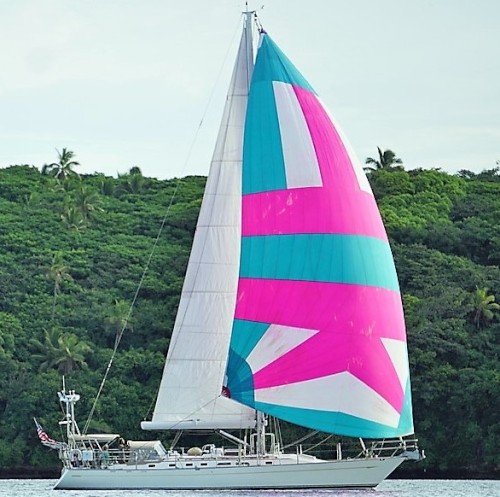
Some scenes from Tonga June through August 9th 2018, mostly the Refuge Yacht Race
10 Photos
Created 10 August 2018
|
 |
Pictures from the passage to this part of the South Pacific along with pictures we will add of what we see while we are here.
22 Photos
Created 15 May 2017
|
 |
At 0430 Friday our Pilot/Advisor came aboard and 30 minutes later we were underway headed for a single day transit. Some of the photos are taken inside the lock(s) others of the scenery along the way.
40 Photos
Created 30 April 2017
|
 |
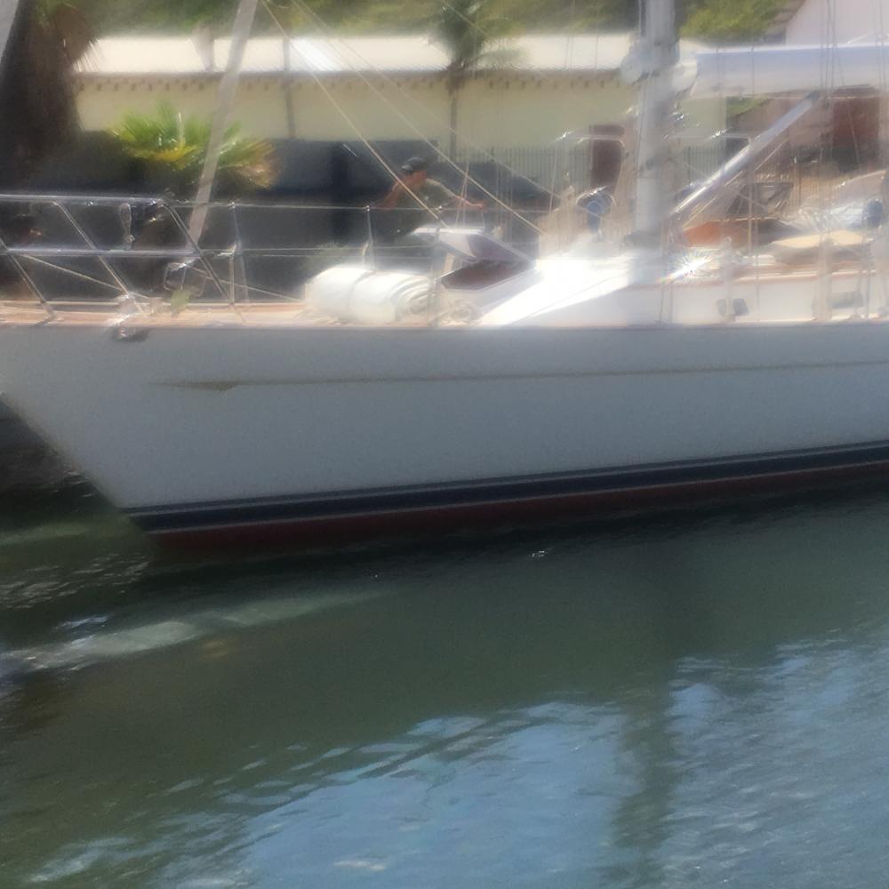
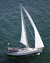
Our passage to Columbia. Lots of wind, mostly from abaft the beam.
6 Photos
Created 13 January 2017
|
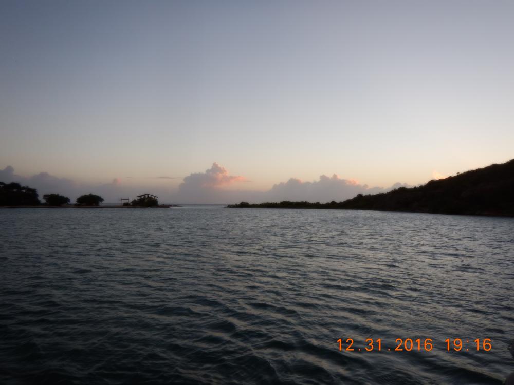 |
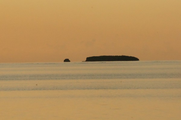
A beautiful, pretty much uninhabited spot to welcome the new year with it's possibilities
9 Photos
Created 1 January 2017
|
 |
When all your worldly possessions are aboard your boat/home it rides a little lower than designed. We finally raised the waterline in Curacao
4 Photos
Created 28 December 2016
|
 |
One of the most unusual islands in it's beauty and charming people. Most of these photos were taken when we were touring the island with Hubert Winston as our guide. There are no marinas and only two viable anchorages, one in Portsmouth, the other to the north in Roseau. We were there through Christmas 2015.
7 Photos
Created 11 January 2016
|
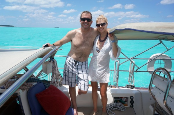 |
Some of us, family, friends and folks we have met
22 Photos
Created 3 September 2014
|
 |
 |
Views of places and people we have met along the path.
26 Photos
Created 3 September 2014
|
 |
Cailin Lomhara
Who: Charlene Green & Larry Green
Port: Anna Maria Island, FL
Gallery