Log of Calypso

13 February 2023
08 February 2023
08 February 2023
04 February 2023
06 August 2022
01 August 2022 | Stonehaven, Scotland
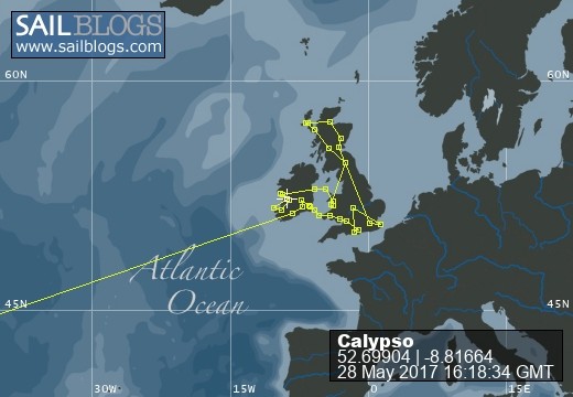
28 July 2022
26 July 2022
25 July 2022
22 July 2022 | Edinburgh, Scotland
21 July 2022 | Glasgow
19 July 2022 | Edinburgh Scotland
19 July 2022
10 July 2022
10 July 2022
25 June 2020
03 June 2019
03 May 2019 | Charleston, SC
01 May 2019 | Brunswick, Ga
27 March 2019 | Palm Coast, Fl
So Close
29 February 2016 | Spooners Creek (ICW Mile 211)

They say if you want to make God laugh, make a plan! This winter we have learned all too well the truth of this statement. Our plan of getting to Cherry Point was foiled by strong west winds which would make the East-West running Neuse River an angry mess.
Saturday, 2/26, we left Southport at 0800. We had a wonderful visit with our niece and her family. But we were off early on this chilly, 30 degree, morning because we have a date with the Cape Fear River.
We have learned by playing the tides, if we can leave Southport an hour before high tide the incoming flow will carry us nearly 30 miles to Wrightsville Beach. It was a spectacular trip with the current sometimes speeding us along at 7 knots. The big plus is having a calm current with us in Snows Cut. If you enter this man made cut between Carolina Beach & the Cape Fear at the wrong time you are either on a sleigh ride or a turtle crawl.
Reaching the Wrightsville Beach Bridge we felt confident that we could make it to Mile Hammock before dark. Unfortunately the tide turned and we were slowed to 3.5 knots soon making this an unrealistic goal. So, we stopped at Harbor Village Marina, (ICW Mile 267). It was still a 44 mile day!
Sunday morning, 2/28, we were underway at 0643. We needed to pass through the Sunset Beach Bridge at 0800. This bridge only opens on the hour and room to maneuver while waiting is limited. Our timing couldn't have been better!
Our next hurdle was New River Inlet, at Camp LeJeune. Known for its tricky marks and conflicting currents we approached cautiously. However, while rounding the maze of marks we were pushed across the channel by an incoming tide and into the path of a south bound LARGE power boat! We adjusted course and so did the Hatteras Motor Yacht and somehow both stayed in the channel and set up to pass with room to spare, port to port. Then we felt it...
First one bump, then another as we touched bottom in the channel. But its an hour after high tide how....no time for that now Wendy quickly reacted and increased RPM's keeping us from getting stuck. Quick thinking saved us from getting T-Boned by another motor yacht. Now, that gets the old blood pump'n!
We adjusted speed to make the Onslow Beach Bridge opening. This slow moving bridge doesn't see much traffic this time of year So, the bridge tender started the opening sequence as we were still a half mile away. It had just fully opened as we approached and we passed through without slowing.
Now what? Up ahead was Tow Boat US and a sailboat aground & a trawler waiting to continue south. This area of the ICW near Red 60, mile 237, continues to shoal. There are two marks, a red & green, which requires an almost slalom type course to pass through. Both the trawler & us held back allowing the Tow Boat operator to work his magic on the grounded sailboat. There are two types of boaters who travel the ICW, those who run aground and those who lie and say they haven't. We have, and on many occasions needed the help of Tow Boat.
Around 1400, remember we have been traveling for almost 7 hours today, we passed Swansboro. The forecast was for increasing WSW winds starting about now and lasting most of the day Monday. As if on que the wind increased to 18 knots churning Bogue Sound into a lumpy mess.
At 1748 we anchored in the protection of Spooners Creek, a long 56 mile day. Although the channel stays dredged by local boat traffic, the interior basin of the creek appears to be silting in. Three years ago we weathered Hurricane Sandy here with plenty of room but now at low tide we have less than a foot under us. We make a note to explore the basin in the dinghy with the hand held depth finder. But...on a warmer day!
So today, Leap Day, we take some time to catch up on projects like, cleaning, transferring fuel, and even working on this blog. The forecast is for light southerly winds most of tomorrow we'll keep our fingers crossed and take it one day at a time.
Fair Winds & Quiet Anchorages,
Jeff & Wendy
| Vessel Name: | Ex-Calypso |
| Hailing Port: | Morehead City, NC |
| Social: |
|
Ex-Calypso's Photos - Main
 |
Repair to Calypso's foredeck, mast step, rudder, & Seacock replacement
7 Photos
Created 3 November 2016
|
Port: Morehead City, NC