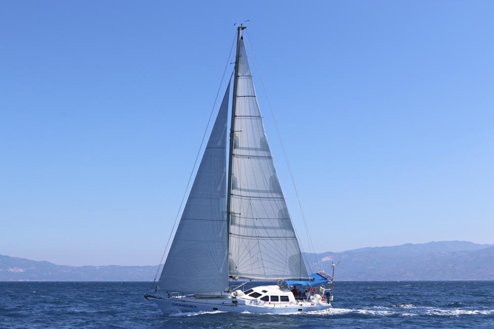
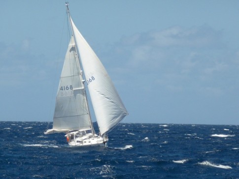
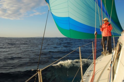
Cruising on Diomedea
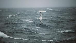
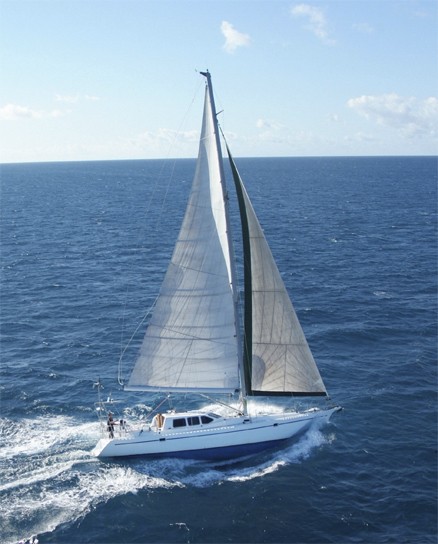
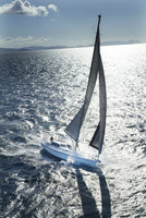
Diomedea is a Van de Stadt Tasman 48. The name is the species name of the Wandering Albatross of the Southern Ocean.
24 October 2016
26 September 2016 | UK
18 September 2016 | UK
07 September 2016 | Crinan Canal
07 September 2016 | Craobh haven
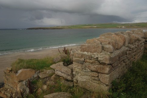
31 August 2016 | Isle of Rum, Scotland
31 August 2016 | North and South Uist, Outer Hebrides
31 August 2016 | Skye, Scotland
31 August 2016 | Sinzig, Germany
31 August 2016 | Plockton, Scotland
31 August 2016 | Outer Hebrides
03 August 2016 | Loch Fionsbaigh, South Harris
30 July 2016 | North Uist island, Scotland
30 July 2016 | Isle of Rum, Scotland
30 July 2016 | Isle of Mull, Scotland
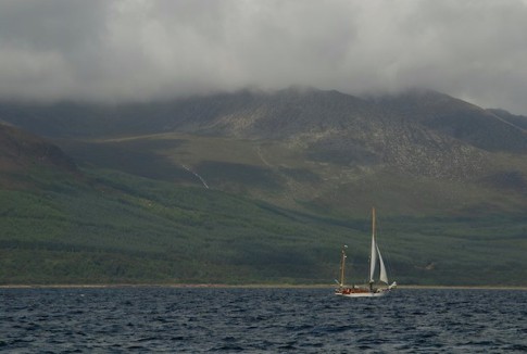
30 July 2016 | Jura Island, Scotland
30 July 2016 | Belfast, Northern Ireland
30 July 2016 | Bangor, northern ireland
21 July 2016 | 55 57.75'N:05 54.55'W
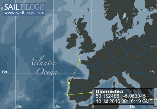
15 July 2016
Furthest South
11 January 2011 | Port Arthur
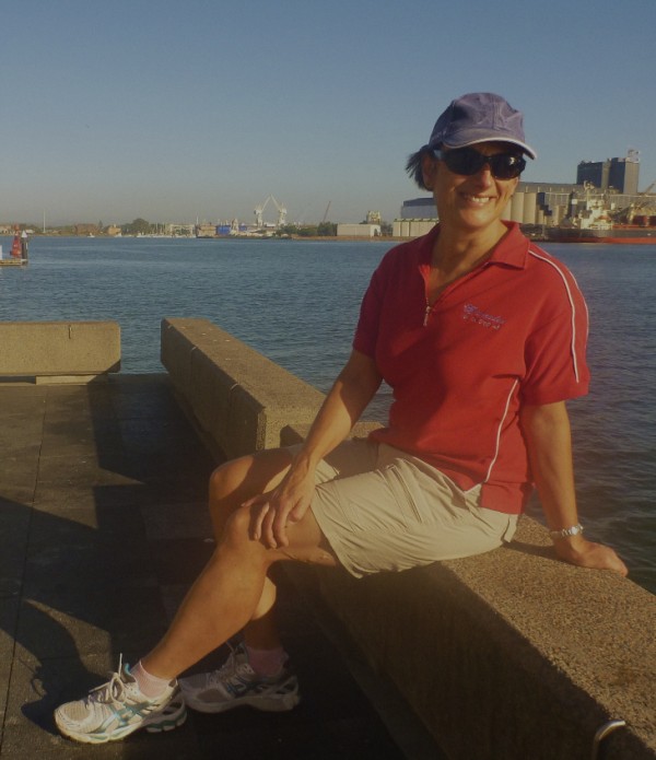
David and Andrea
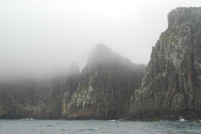
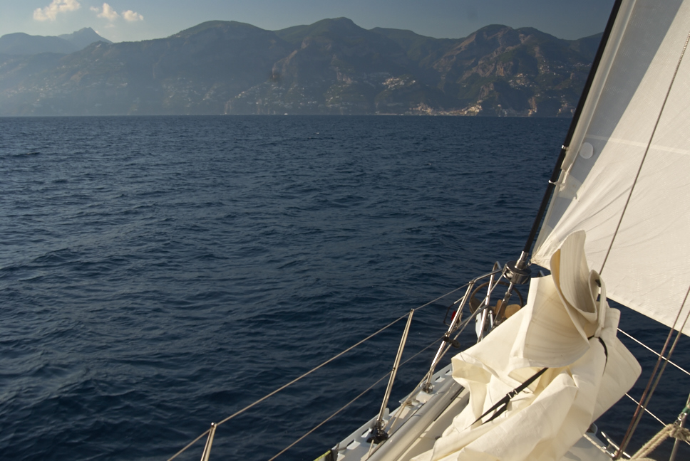
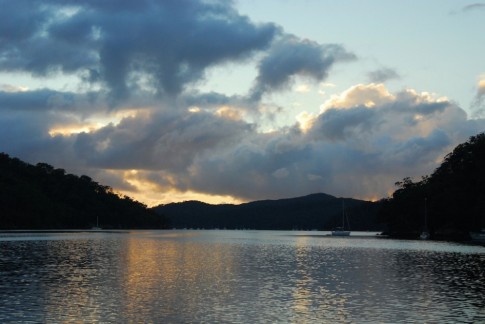
"Patches of sea fog" became a prevalent line in the coastal waters forecast but the wind remained in the east so Diomedea headed south once more. We passed Mingara on the same track as we approached Cape Surville and then made a course for Cape Hauy. The cape is astonishing up close and personal. The pre-eminent features are the jagged dolerite spikes of the Lanterns seen in the photos. The cloud played across the vertiginous face rising from the 100metre depths at its base. Patches of lichen gave colour to relieve the eyes as we gazed into the clefts holding the Candlestick and other formations. No sooner had we doubled the cape than the sea fog decided to sock in. Visibility nil and the wind is all over the place in the now familiar spin cycle of near-cliff ocean. Our initial plan had been to pass between Cape Pillar and Tasman island. The cockpit debate raged for a while. The passage is only 5 metres deep and no more than 0.25nm wide. We have never been through before. An easterly swell is pressing into it as is the wind. The fog remains. Despite the presence of daylight and a good radar overlay the crew of Diomedea is not up for this one. Tasman island is rounded unseen to starboard at 43 degree 15'S. The course is shaped for Port Arthur in light airs and light seas.
| Vessel Name: | Diomedea |
| Vessel Make/Model: | Van de Stadt Tasman 48 See Pix here http://www.sailblogs.com/member/diomedea/index.php?show=gallery&aid=7118&p=1 |
| Hailing Port: | Sydney |
Diomedea's Photos - Main
 |
 |
 |
 |
 |
 |
 |
 |
 |
 |
 |
 |
Diomedea's Cruise through the Indo archipelago
1 Photo | 4 Sub-Albums
Created 27 August 2014
|
 |
 |
 |
 |
 |
 |
 |
 |
 |
 |
 |
 |
 |
 |
 |
 |
 |
 |
 |
 |
 |
 |
 |
 |
 |
 |
 |
 |
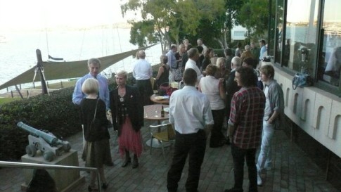 |
Fun night at the Royal Sydney Yacht Squadron prior to departure
13 Photos
Created 27 April 2008
|
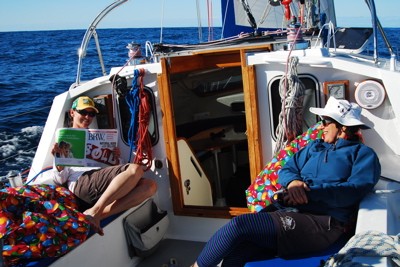 |
The action shots whilst Diomedea is on passage to New Zealand
13 Photos | 1 Sub-Album
Created 27 April 2008
|
 |
About Us
Port: Sydney