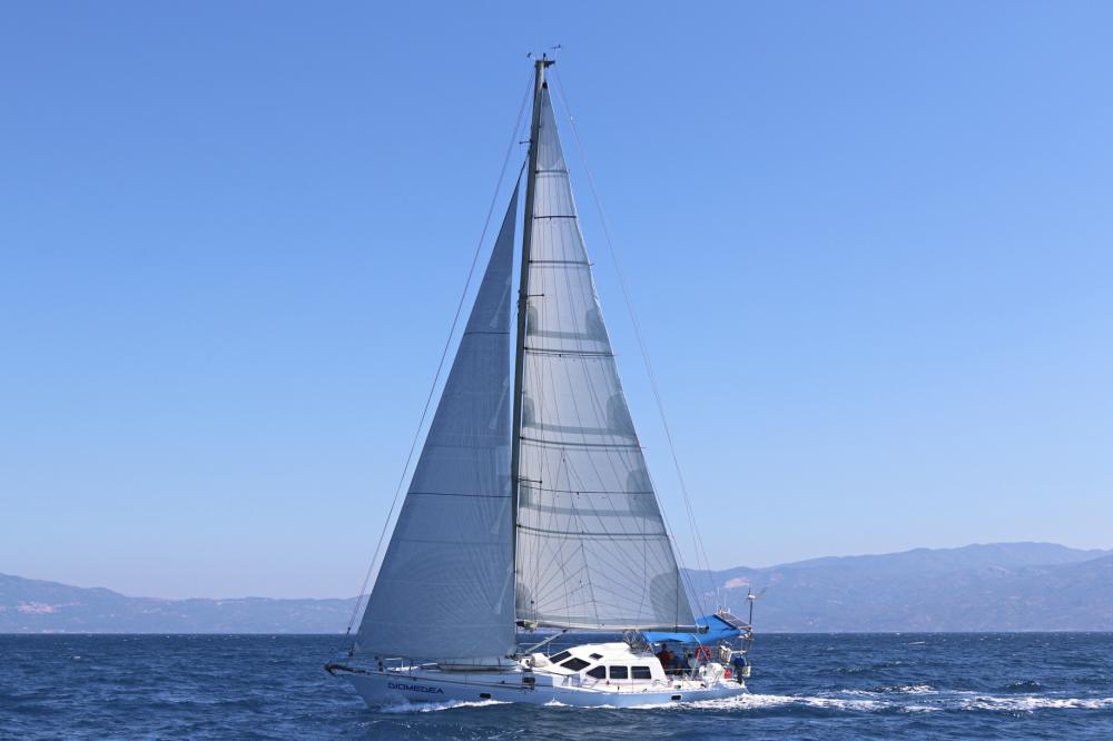
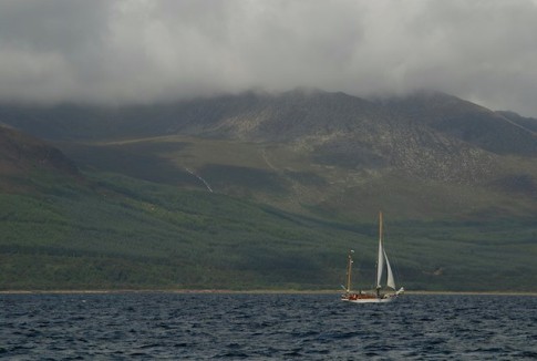
Cruising on Diomedea
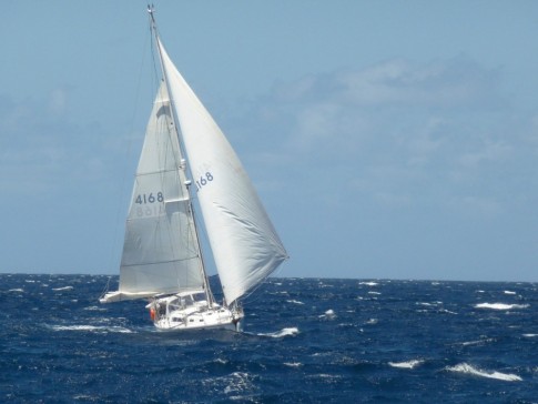
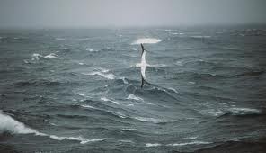
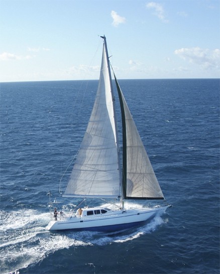
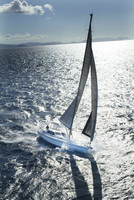
Diomedea is a Van de Stadt Tasman 48. The name is the species name of the Wandering Albatross of the Southern Ocean.
24 October 2016
26 September 2016 | UK
18 September 2016 | UK
07 September 2016 | Crinan Canal
07 September 2016 | Craobh haven
31 August 2016 | Isle of Rum, Scotland
31 August 2016 | North and South Uist, Outer Hebrides
31 August 2016 | Skye, Scotland
31 August 2016 | Sinzig, Germany
31 August 2016 | Plockton, Scotland
31 August 2016 | Outer Hebrides
03 August 2016 | Loch Fionsbaigh, South Harris
30 July 2016 | North Uist island, Scotland
30 July 2016 | Isle of Rum, Scotland
30 July 2016 | Isle of Mull, Scotland
30 July 2016 | Jura Island, Scotland
30 July 2016 | Belfast, Northern Ireland
30 July 2016 | Bangor, northern ireland
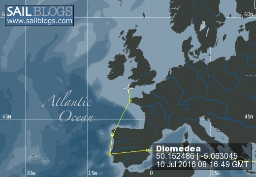
21 July 2016 | 55 57.75'N:05 54.55'W
15 July 2016
To The Top
24 July 2014 | Cape York
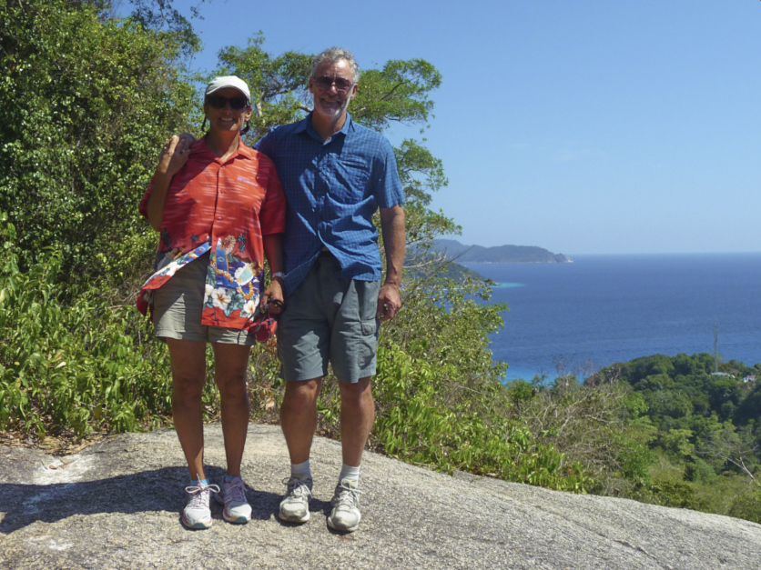
David and Andrea
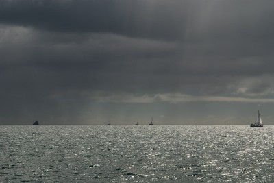
We dug deep for the final push to Cape York. Up at 3.45am and away not too long after 0400 for the 87 miles to Mt Adolphus Island. In the clear night sky, the waning crescent moon was only recently risen, so Orion and his sword still dominated the east, and Venus rose on her ecliptic. Fortunately we had strong breeze and we did the run in 12 hours despite the last few hours being affected by adverse ebb tide of up to 2 knots. Once in the region of Harrington reef the overfalls really came alive creating a nasty seaway which persisted until right outside the anchorage. We passed Quetta rock, so named after the steamer which hit the then uncharted coral and rock needle on a fine calm evening in 1890. The ship sank in 5 minutes as its belly had been completely sliced open and 133 people died.
After dinner we collapsed into bed, rather fatigued from the hard sailing days and slept well. Blackwood bay is quite a good spot but like all the bays up here it is remarkably windy. Much to our surprise we had an internet connection here, presumably from Thursday island 20 odd miles away.
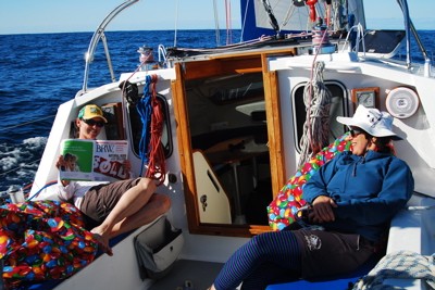
From Adolphus it was a very short hop over to Cape York proper for a brief stint ashore. We anchored in only 3m of water, with about 3 kts of current ripping up the bay. Dinghying ashore we encountered quite a tide of tourists as well, at this the northernmost point of mainland Australia. It is a 20 minute walk from the red dust road end/beachhead to the rocky cape. Nonetheless our legs felt a bit wonky as we have not been ashore for more than one hour since leaving Cairns 8 days and almost 500 miles ago. We did the obligatory photos and helped others with their “proof” shots.
Back on Diomedea we jumped onto the westward flowing 4 knot flood tide for the run to Possession Island. Large termite mounds, low rolling hills and sandy beaches greeted us as we dropped anchor against 25 knot winds in this “sheltered” anchorage.
Lt Cook named the island after coming ashore for the ceremonial claiming, for King George 111, of the east coast of New Holland from 38 degrees latitude to “this place” in August 22nd 1770. Today a brass plate honours the event and is seen easily on its white monumental tower just up from a rocky shore. We took photos from the dinghy as landing proved impossible at half tide.
As a generality, most anchorages on this coast have some swell at most times but much more so around the high tides. Holding is usually good in mud and sand, so long as one is using a good modern anchor and chain. It has been suggested that one should put an anchor buoy on if dropping the hook near mangroves. A fouled anchor would not be recoverable otherwise as the risk of diving is far too high. The plentiful breeze has been excellent for maintaining battery charge, courtesy of the Superwind Generator. We have had no significant rain so the boat is very salt-encrusted.
After dinner we collapsed into bed, rather fatigued from the hard sailing days and slept well. Blackwood bay is quite a good spot but like all the bays up here it is remarkably windy. Much to our surprise we had an internet connection here, presumably from Thursday island 20 odd miles away.
From Adolphus it was a very short hop over to Cape York proper for a brief stint ashore. We anchored in only 3m of water, with about 3 kts of current ripping up the bay. Dinghying ashore we encountered quite a tide of tourists as well, at this the northernmost point of mainland Australia. It is a 20 minute walk from the red dust road end/beachhead to the rocky cape. Nonetheless our legs felt a bit wonky as we have not been ashore for more than one hour since leaving Cairns 8 days and almost 500 miles ago. We did the obligatory photos and helped others with their “proof” shots.
Back on Diomedea we jumped onto the westward flowing 4 knot flood tide for the run to Possession Island. Large termite mounds, low rolling hills and sandy beaches greeted us as we dropped anchor against 25 knot winds in this “sheltered” anchorage.
Lt Cook named the island after coming ashore for the ceremonial claiming, for King George 111, of the east coast of New Holland from 38 degrees latitude to “this place” in August 22nd 1770. Today a brass plate honours the event and is seen easily on its white monumental tower just up from a rocky shore. We took photos from the dinghy as landing proved impossible at half tide.
As a generality, most anchorages on this coast have some swell at most times but much more so around the high tides. Holding is usually good in mud and sand, so long as one is using a good modern anchor and chain. It has been suggested that one should put an anchor buoy on if dropping the hook near mangroves. A fouled anchor would not be recoverable otherwise as the risk of diving is far too high. The plentiful breeze has been excellent for maintaining battery charge, courtesy of the Superwind Generator. We have had no significant rain so the boat is very salt-encrusted.
| Vessel Name: | Diomedea |
| Vessel Make/Model: | Van de Stadt Tasman 48 See Pix here http://www.sailblogs.com/member/diomedea/index.php?show=gallery&aid=7118&p=1 |
| Hailing Port: | Sydney |
Diomedea's Photos - Main
 |
 |
 |
 |
 |
 |
 |
 |
 |
 |
 |
 |
Diomedea's Cruise through the Indo archipelago
1 Photo | 4 Sub-Albums
Created 27 August 2014
|
 |
 |
 |
 |
 |
 |
 |
 |
 |
 |
 |
 |
 |
 |
 |
 |
 |
 |
 |
 |
 |
 |
 |
 |
 |
 |
 |
 |
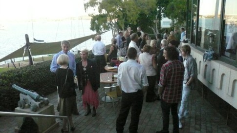 |
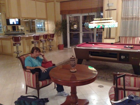
Fun night at the Royal Sydney Yacht Squadron prior to departure
13 Photos
Created 27 April 2008
|
 |
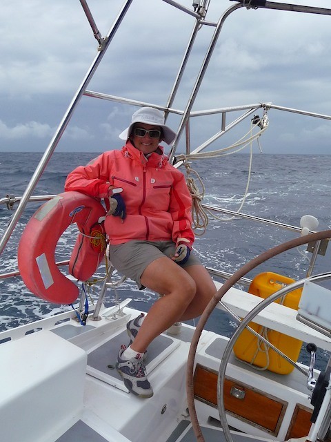
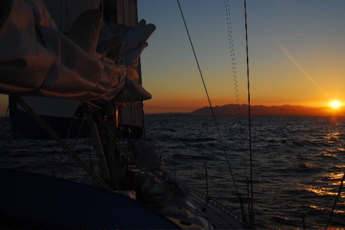
The action shots whilst Diomedea is on passage to New Zealand
13 Photos | 1 Sub-Album
Created 27 April 2008
|
 |
About Us
Port: Sydney