Tom & Kim's Excellent Adventure
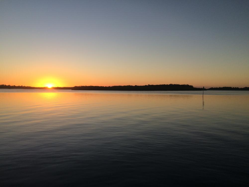
05 February 2020 | Sandy Island
03 February 2020
01 February 2020
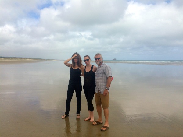
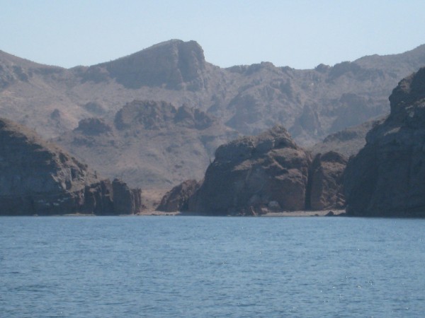
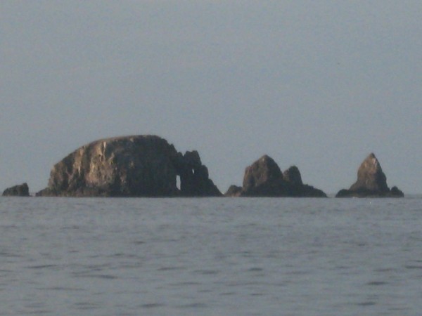
29 January 2020 | Prickly Bay
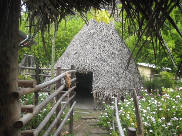
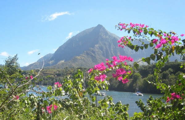
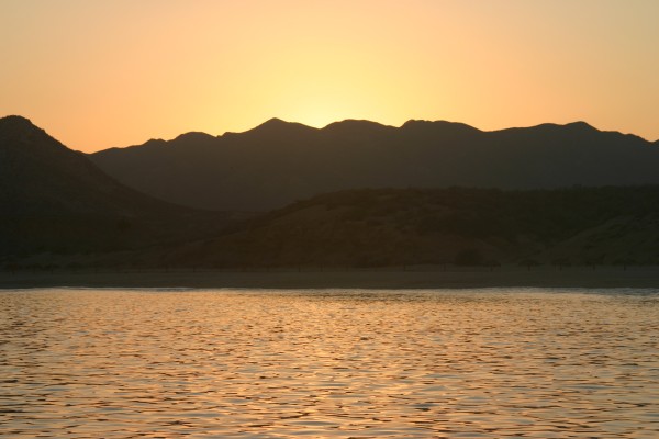
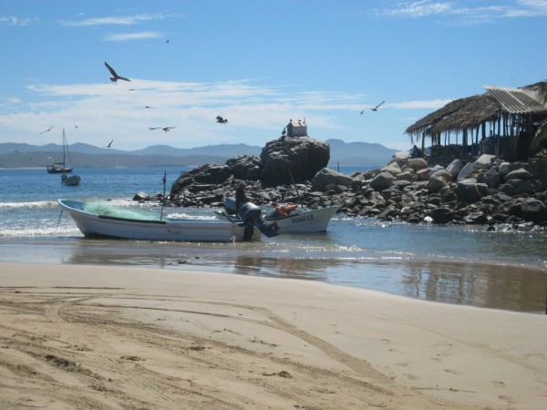
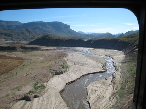
28 January 2020 | Grenada Marine, Grenada
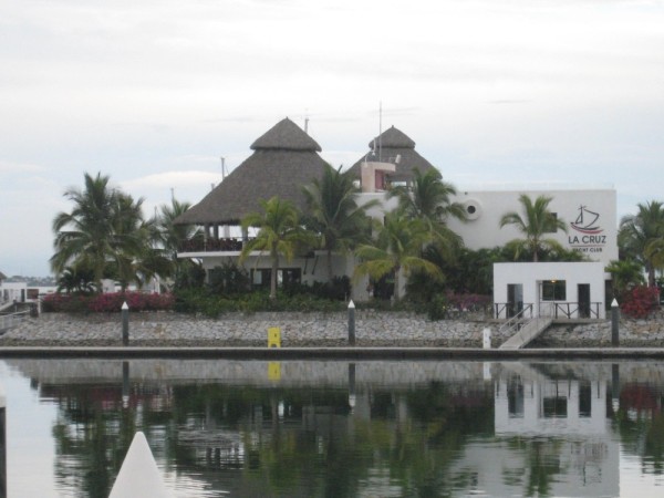
10 October 2019 | Grenada Marine, Grenada
20 July 2019 | St. Georges, Grenada
01 June 2019 | St. Helena
30 May 2019 | Jacare, Brazil
11 March 2019
10 March 2019
09 March 2019
15 January 2019
08 January 2019 | Somon's Town
10 November 2018 | East London
06 November 2018 | Richard's Bay, South Africa
24 October 2018
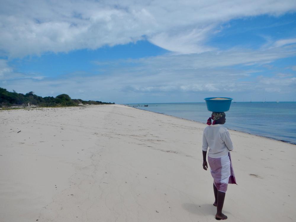
16 October 2018 | Bazaruto
11 October 2018 | Katsepy Bay
07 October 2018 | Nosy Komba
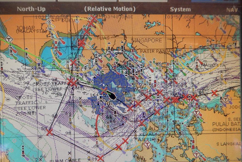
Crossing The Singapore Straits
17 October 2017
Kim
People don't generally share stories about mundane experiences, so all we'd heard about were harrowing stories about cruisers getting caught in violent squalls and white-out conditions from torrential rain, being blasted by deafening cargo ship horns to get out of their path and dodging small fishing boats wandering in and out of shipping channels. Then of course there are the recent reports about catastrophic collisions between commercial and navy ships. Scary stuff!
Our experience was anything but dramatic. In fact it was relatively brief, uneventful and a bit anticlimactic. Not that we're complaining... in this situation boring is good. What we would have found helpful (but had difficulty finding), were recommended routes with waypoints from cruisers who had recently crossed the Singapore Straits without incident.
So if you happen to be reading this blog and are interested in how we did it, here are the details:
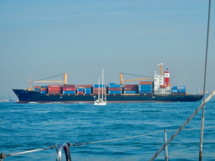
We left Nongsa Point Marina on North Pulau Batam at first light and headed for the southern edge of the shipping channel. This way, we could avoid small fishing boats, FADs and drift nets, and set an efficient course along the shoulder of the 'superhighway' until we reached the appropriate 'crosswalk'. Electronic charts make it easy. (The only traffic we experienced along the perimeter was a warship which sped across our bow, close enough to impress us with its guns and missiles.)
We were fortunate to have positive tide and made 7.5 knots as we motored west in 3 knots of wind. (The tides can be difficult to predict, as they're variable in this region, so an early departure can buy you time in case you have adverse current or get caught in a squall.)
We monitored VHF 16 and 73 (relevant to ships in the Singapore sector of the Strait). The chatter was constant but understandable, given the risks associated with the speed and momentum of massive ships making navigation errors.
We held a course of 265 degrees magnetic for an hour and a half until we reached the second crosswalk. By then we had close to 3 knots of positive current. Approximate position of the crosswalk: Lat: 01 11.56N Long: 103 49.62E.
There was an opening between ships in the eastbound lane which we skirted across easily, and we were able to continue on without stopping in the centre (which is permitted) by slipping behind the stern of a huge cargo ship in the westbound lane. We crossed the entire highway in less than 15 minutes. No drama.
Now that we were on the northern edge of the shipping channel we altered course to 250 degrees magnetic and continued along the outer perimeter until we reached the 'bunkering zone', which would lead us towards the narrow waterway between Singapore and the southeast tip of Malaysia.
Weaving through the bunkering zone/anchorage felt more daunting than the crossing as a handful of the hundred or so ships around us were actually arriving and departing. The trick was to determine which ones they were! (AIS was a big help, and its illegal for visiting yachts to navigate these waters without it).
The longest ship we passed in the bunkering zone was 'CS Development' which was 1116 feet long. Fortunately, it was at anchor - I don't think it would even feel a bump if it mowed us over!
Its worth noting that there are significant land reclamation projects underway along the Malaysian and Singapore coastlines. Dredgers and barges are reclaiming vast sections of land along the shore - so it pays to keep an eye on your depth sounder and a keen lookout for obstacles, as charts can be inaccurate.
Where its really important to pay attention to the paper and electronic charts is the Singapore territorial waters borderline. Crossing into Singapore waters (even just a little bit) without receiving advance clearance can draw immediate attention by Coastguard vessels and helicopters, who keep a vigilant lookout around the clock.
Once past the bunkering zone we headed north up the waterway along the outer perimeter of the Singapore border and within a few hours we had ducked under the centre of the bridge (maximum height: 25 meters). Clearance heights always seem lower than they are and we both sighed in relief about making it under the bridge unscathed, even though we had plenty of clearance.
Our last challenge was to enter Puteri Harbour - the opening to which, according to our electronic charts, placed us on land. Downloading Google Earth images overlaid onto SEAIQ on our iPad in advance helped immensely. Once inside three Marina staff members guided us into our berth and tied our lines, and that's when it started to hit us... this morning we waved goodbye to Indonesia, crossed the infamous Singapore Straits without incident, and arrived in Malaysia - and it was only noon!
(more images in the photo gallery)
Our experience was anything but dramatic. In fact it was relatively brief, uneventful and a bit anticlimactic. Not that we're complaining... in this situation boring is good. What we would have found helpful (but had difficulty finding), were recommended routes with waypoints from cruisers who had recently crossed the Singapore Straits without incident.
So if you happen to be reading this blog and are interested in how we did it, here are the details:
We left Nongsa Point Marina on North Pulau Batam at first light and headed for the southern edge of the shipping channel. This way, we could avoid small fishing boats, FADs and drift nets, and set an efficient course along the shoulder of the 'superhighway' until we reached the appropriate 'crosswalk'. Electronic charts make it easy. (The only traffic we experienced along the perimeter was a warship which sped across our bow, close enough to impress us with its guns and missiles.)
We were fortunate to have positive tide and made 7.5 knots as we motored west in 3 knots of wind. (The tides can be difficult to predict, as they're variable in this region, so an early departure can buy you time in case you have adverse current or get caught in a squall.)
We monitored VHF 16 and 73 (relevant to ships in the Singapore sector of the Strait). The chatter was constant but understandable, given the risks associated with the speed and momentum of massive ships making navigation errors.
We held a course of 265 degrees magnetic for an hour and a half until we reached the second crosswalk. By then we had close to 3 knots of positive current. Approximate position of the crosswalk: Lat: 01 11.56N Long: 103 49.62E.
There was an opening between ships in the eastbound lane which we skirted across easily, and we were able to continue on without stopping in the centre (which is permitted) by slipping behind the stern of a huge cargo ship in the westbound lane. We crossed the entire highway in less than 15 minutes. No drama.
Now that we were on the northern edge of the shipping channel we altered course to 250 degrees magnetic and continued along the outer perimeter until we reached the 'bunkering zone', which would lead us towards the narrow waterway between Singapore and the southeast tip of Malaysia.
Weaving through the bunkering zone/anchorage felt more daunting than the crossing as a handful of the hundred or so ships around us were actually arriving and departing. The trick was to determine which ones they were! (AIS was a big help, and its illegal for visiting yachts to navigate these waters without it).
The longest ship we passed in the bunkering zone was 'CS Development' which was 1116 feet long. Fortunately, it was at anchor - I don't think it would even feel a bump if it mowed us over!
Its worth noting that there are significant land reclamation projects underway along the Malaysian and Singapore coastlines. Dredgers and barges are reclaiming vast sections of land along the shore - so it pays to keep an eye on your depth sounder and a keen lookout for obstacles, as charts can be inaccurate.
Where its really important to pay attention to the paper and electronic charts is the Singapore territorial waters borderline. Crossing into Singapore waters (even just a little bit) without receiving advance clearance can draw immediate attention by Coastguard vessels and helicopters, who keep a vigilant lookout around the clock.
Once past the bunkering zone we headed north up the waterway along the outer perimeter of the Singapore border and within a few hours we had ducked under the centre of the bridge (maximum height: 25 meters). Clearance heights always seem lower than they are and we both sighed in relief about making it under the bridge unscathed, even though we had plenty of clearance.
Our last challenge was to enter Puteri Harbour - the opening to which, according to our electronic charts, placed us on land. Downloading Google Earth images overlaid onto SEAIQ on our iPad in advance helped immensely. Once inside three Marina staff members guided us into our berth and tied our lines, and that's when it started to hit us... this morning we waved goodbye to Indonesia, crossed the infamous Singapore Straits without incident, and arrived in Malaysia - and it was only noon!
(more images in the photo gallery)
Comments
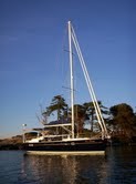
| Vessel Name: | Exit Strategy |
Exit Strategy's Photos - Main
 |
 |
 |
 |
 |
 |
 |
 |
 |
 |
 |
 |
 |
 |
 |
 |
 |
 |
 |
 |
 |
 |
 |
 |
 |
 |
 |
 |
 |
 |
 |
 |
 |
 |
 |
 |
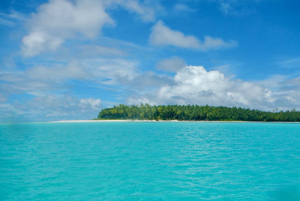
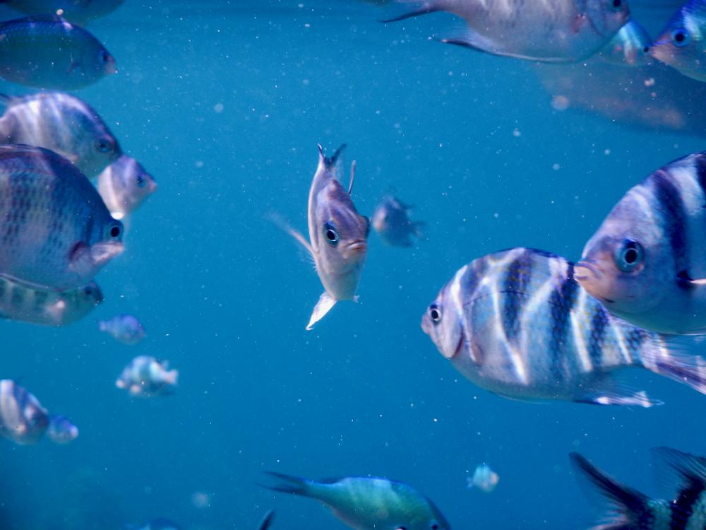
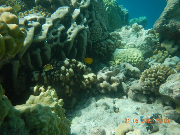
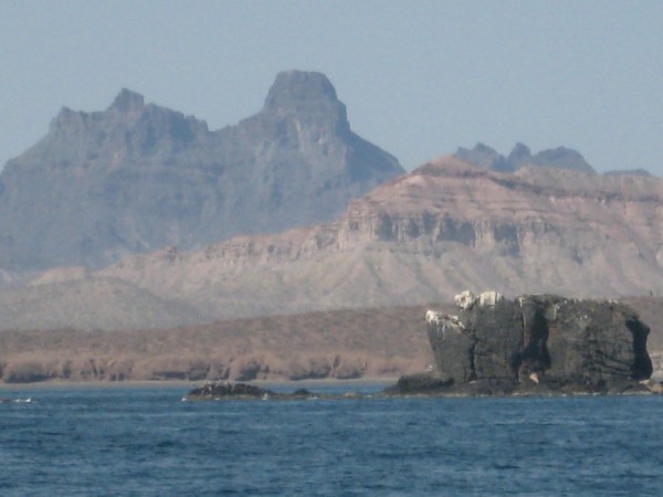
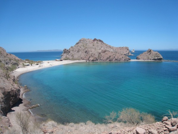
calm bay, sandy beach, and warm turquoise water - perfect.
6 Photos
Created 11 May 2013
|
 |
 |
 |
 |
 |
 |
 |
 |
 |
 |
 |
 |
 |
 |
 |
 |
 |
 |
 |
 |
 |
 |
 |
 |
 |
 |
 |
 |
 |
 |
 |
 |
20 Photos
Created 22 February 2012
|
 |
 |
 |
 |
 |
 |
 |