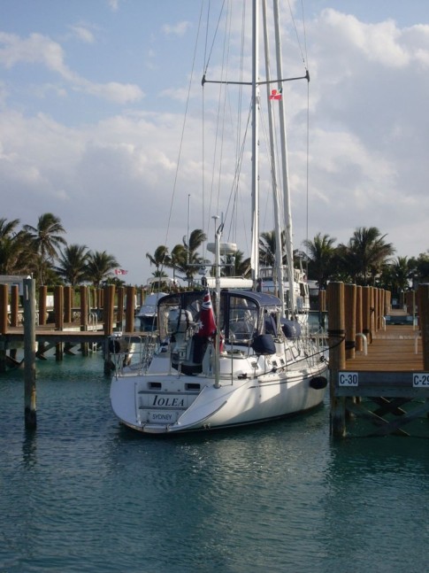
IOLEA 2019
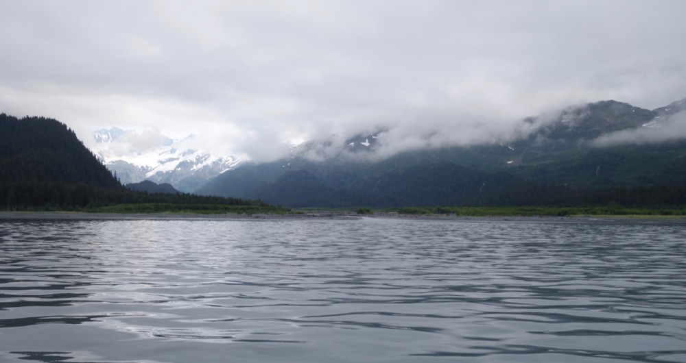
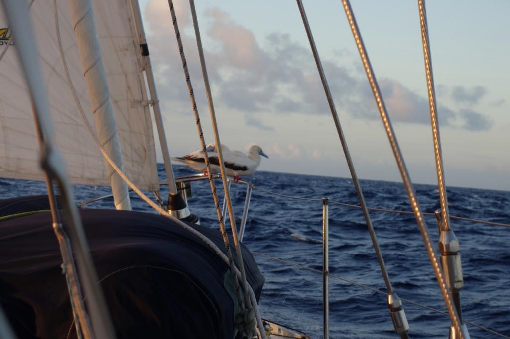
We are an Australian couple who have been cruising on our Hylas 49 since 2010. We are currently in Alaska having sailed from NZ via French Polynesia and Hawaii last year.

IOLEA
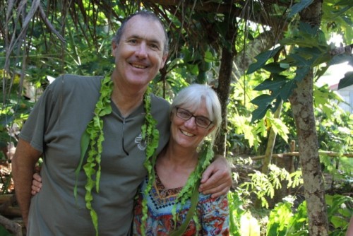
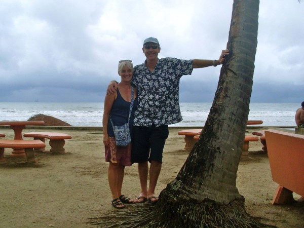
Who: Paul and Kate
Port: Sydney, Australia
Gallery


USEFUL LINKS
- 2019 Alaska
- 2017 Vanuatu
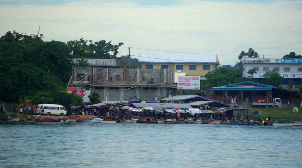
- 2017 Solomon Islands
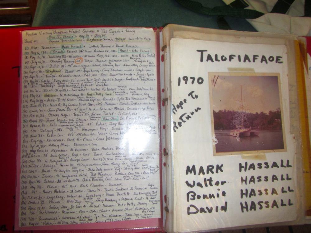
- 2017 Kosrae
- 2016-17 The Marshall Islands
- 2016 Kiribati
- 2016 Vanuatu
- 2015 Fiji
- Boat systems
- 2013 Panama to Galapagos
- 2013 galapagos to Marquesas
- 2013 Marquesas
- 2013 Rarotonga
- 2013 Niue
- 2011-12 Trinidad
- 2013-15 New Zealand
- 2013 Tonga
- 2013 French Polynesia
- 2013 Galapagos
- 2012-13 Panama
- 2012 Columbia
- 2012 Bonaire
- 2011 East Caribbean
- 2011 Bahamas
- 2010-11 Florida
- 2010 Annapolis - ICW
- Show All Posts
12 July 2020
04 October 2019
17 September 2019
08 September 2019
27 August 2019
15 August 2019
29 July 2019 | Prince William Sound: Snug Harbor
19 July 2019
17 July 2019
16 July 2019 | Aialik Bay, Kenai Peninsular
15 July 2019
14 July 2019 | Northwestern Glacier
13 July 2019 | Kenai Penninsular
12 July 2019 | Pilot Harbor, Kenai Peninsular
11 July 2019 | Kenai Peninsular
10 July 2019 | Kenai Peninsular
09 July 2019 | Afognak Island
08 July 2019 | Afognak Island
06 July 2019 | Afognak Island
05 July 2019 | Kodiak Island
Twice around Cape Reinga - sailing to and from the South island of New Zealand
09 May 2015

Rounding Cape Reinga for a run down to the South Island was something that we both looked forward to and worried about. Its the point at which the massive Pacific Ocean and the temperamental Tasman Sea meet. You can see where they meet on google earth and see the clash of swell from the lighthouse. The Cape Reinga coastline itself is about 20 miles long with a mostly north orientation so that there is shelter from winds with south in them. For our trip down to Marlborough sounds in November 2014 we looked for a window of 3 plus days. Our plan was to get as close as we could to the cape and if possible anchor overnight in one of the bays near the lighthouse.
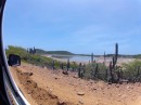
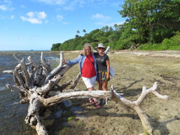
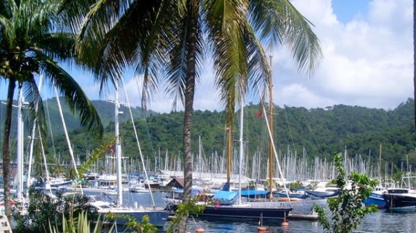
We gunk holed up the coast stopping at Whangaroa, Manganui, and finally at Houhora where we anchored behind the mussel farm and watched the weather The photo looks on to the anchorage from the beach to the west.
At this time of the year the lows seem to come through every 3 days and sure enough a window opened with moderate southerly winds predicted to ease to southwest for two days then increase to a gale in Stephens and Cook on the evening of the 3rd day. We figured that if we left from Cape Reinga we could get to the Sounds on the afternoon of the 3rd day and if the weather came in early we could duck over to New Plymouth. A New Zealand boat, Bandit, that Paul had met in Bonaire was also sailing down to Picton so we arranged to passage together. The next morning we upped anchor and headed for the Cape with a light southwesterly blowing.
This part of New Zealand is really wild and remote (except for the ubiquitous NZ fishermen). We stayed about ½ mile off the coast looking for a possible anchorage as we rounded the east cape. We first thought that Spirits Bay might be the go but a small NE swell made it rolly and it is quite some distance from north cape. The SW wind on the west coast clung to the coast making it quite blustery and on the nose at some points and contributed to the swell. We eventually settled on Tapotupo Bay which is just south east of north cape and well tucked in so there was virtually no wind, just the ocean swell which was about 1.5 meters. It also made for a quick run to the west side. Several fishing boats were anchored out from the bay also ready to head out with the slack tide in the early morning. Anchoring here was a weird experience. The ocean swell seemed to lift the boat out of the water as it travelled underneath and moved on to crash against the surrounding cliffs. After experiencing flat seas for so long it made us wonder if an anchor would hold but like the ocean swells in San Christobel in the Galapagos they just ran under us and the anchor held well. We also slept well. Paul estimated that slack tide would be around 5.30am roughly an hour after change of tide so we needed to be underway by then.
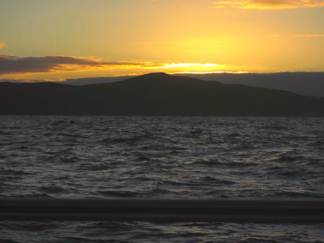
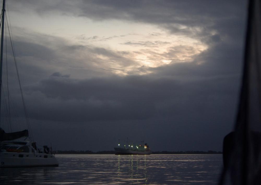
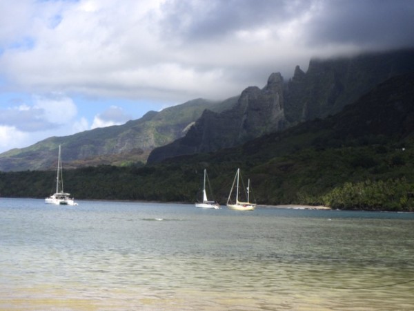
We woke at 4.45 to check the weather again and after a tedious wait we finally got underway at 5.45am. Bandit was on their way and the fishing vessels were about 30 minutes ahead of us. We motored through the deepest water and headed out past Cambridge reef. We were late, the tide had turned, fortunately in our favour. As dawn grew we could see ripples and then waves appear to our port near the reef. The morning was dead calm so this was just the current. We had our main up and motor running on 2700rpm and as we passed off the lighthouse we noticed we were doing 13.8 knots! Six of these were current so we powered down and pulled out the genoa to catch the southerly breeze that was just starting to flutter. The current eased but still made for a fast passage out past Pandoras reef and into the Tasman sea. (photo: Sunrise over Sunset Beach)
We were expecting a SW wind of around 15 knots for the next 36 hours so we continued heading west on the southerly in order to jibe back on the SW wind. It was a lovely day sailing but the tactic of heading west didn't work well. The wind remained southerly and we were forced to make an almost easterly jibe to come back nearer the coast. Of itself this was not a problem except that the forecasts for Stephens were worsening with 40+ knot winds expected early evening. We had lost time with the leisurely sail west and would now find it difficult to get to Marlborough before the front came through. We did consider diverting to New Plymouth but had been advised that boats can be stuck in their harbour for some time with norwesterlies or strong sou-easterlies. By morning on the 2nd day we were passing Mt Egmont and the SW was stiffening to 20 knots. We reduced some sail and kept going as fast as we could with only 70 miles to go.
By early evening the seas were growing steep and closely spaced. The Tasman Bay is a messy sea and whips up to a frenzy with wind, especially when it is against tide. We reduced more sail. Bandit were headed for Queen Charlotte but had told us of a mooring on the east side of Durville island that would be a closer anchorage and safe haven from the gale. At midnight we were closing in on Stephens Island. The winds were hitting 40 knots and the seas were awful around Stephens. We rounded the corner expecting some respite but instead the wind came on the nose and our apparent wind was now 46 plus knots. The seas did ease gradually but the spume was flying and we were attempting to navigate through reefs and islands that we were unfamiliar with and to an anchorage that seemed it would be anything but sheltered given the continuing conditions. Needless to say there was a bit of tension on board. But as we approached Wharatea Bay bay the winds dropped to the occasional catapult and the sea flattened. We anchored rather than using the mooring because it was dark and unfamiliar and we were tired but in the morning there they were, 3 right near us. Thank you MWP! (Mana, Waikawa and Pelorus clubs have combined their moorings in the Marlborough Sounds and offer 90 moorings. If you join one of the yacht clubs you can have access to them. We had joined Mana but did not have a map of their locations when we sailed down the coast).
In March we decided it was time to make the return journey to the north. We liked the idea of sailing up the east coast but there were a number of factors that put us off. First we were in the Abel Tasman and wanted to go to Opua so the eastern route was roughly 200 miles longer. Clearly, it made more sense to take the western route if all we wanted to do was get back to Opua. A benefit of the east coast though is dropping into Napier and Gisbon and once around east cape being able to day sail up to Northland. However, stopping in these ports requires that you are willing to wait out adverse weather. There is a south going current along the east coast but the ideal winds for heading north have south in them so wind against tide. Also Lows that pass over NZ can throw back messy seas. Finally, the passage from Cook Strait to Napier has two points where we have seen winds of 80 knots plus (Castle Point and Cape Turnagain, where Cook turned back after deciding the voyage further south was treacherous). Many yachts have taken the east coast route and so it is certainly doable but we had visited Napier and Gisbone by land and while we had time we did not feel like being stuck in a port waiting for weather and sea conditions to ease. The west coast was faster and the weather cleaner and New Plymouth does provide a break in the passage if needed.
Returning north along the west coast meant planning to round Cape Reinga in easy conditions. We were happy to do some motoring or wear a bit of heavy weather at the beginning of the passage if need be. A prolonged period of easy winds and seas came and passed before cyclone Pam ripped through the north and then another window of 3 days came up. The forecast for Stephens was for SE winds 15-20 knots turning to SW west of Cape Farewell and for SW seas 3 meters easing and SE seas 2 meters easing. Going north the forecast was for 15 knots SW with showers and poor visibilty for a time. Two key things here. First, 2 swells plus the usual 3rd from the north which seems to be permanent but rarely mentioned. Second, is the phrase "for a time". For this read squalls. If it isn't a squall and just rain, great, but usually its a squall or several or more. The early part of the forecast gave us a fast, albeit uncomfortable start to the passage. Iolea bounced around like a cork in a bath with a 2 year old. Once we rounded Cape Ergmont the SE swell abated and the SW settled to 3 meters with an interval of around 7-9 seconds. The wind went more south but with west in the squalls. We maintained a north bearing but the south winds eased the further north we went and we ended up motoring for 10 hours. In retrospect, we would have been better going further west then jibing east to the Cape.
We had decided to hold to the coast again as we rounded Cape Reinga. We knew that the flooding tide is to the south and the ebbing to north and by our calculations we needed to pass Pandora Reef by 3.30am to round the cape by 4.30am. This would mean tide with us and hopefully slack as we rounded. We made it to Pandora at 3.30am and the conditions were dead calm but we underestimated the distance to Cape Reinga and so for the last 45 minutes rounding the Cape we motored against the flooding tide which at one point hit 4 knots. Our boat motors at max 8.5 knots so this was fine. If we were to face the same conditions again, though, we would ensure we were at Pandora an hour earlier. Once past Cambridge reef we followed the route we had taken in November from Tapotupo Bay. The current had eased and from there reduced to 1 knot as we cruised along the top of the Cape in easy seas, rounding the eastern cape only a ⅓ of a mile off - lovely trip.
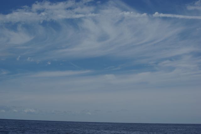
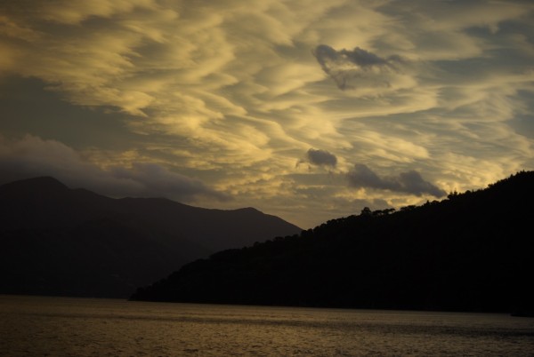
(photo: NZ southern sky)
So now we know that:
Sailing comfort in NZ is mostly about managing wind against tide. Even in areas with flat seas we have been reduced to 2.5 knots at 3000rpm because of steep sharp seas solely a function of the wind against a tide. The stronger the tidal stream the worse it is. One meter chop is not uncommon 2 meters in heavy weather also.
When a forecast mentions rain, showers or poor visibility or higher wind "for a time" think squalls. There are few exceptions where this has not been the case in our experience.
Cape Reinga is a wild beautiful place that is worth the visit and with careful planning and attention to the tidal streams the Cape can be rounded quite closely. Ideally plan to motor into the end of the tidal stream.
Weather patterns in NZ are pretty regular and predictable (unless there is a complex low then all bets are off) and so sailing to the south island or vice versa is relatively straightforward. Don't dawdle though.
We gunk holed up the coast stopping at Whangaroa, Manganui, and finally at Houhora where we anchored behind the mussel farm and watched the weather The photo looks on to the anchorage from the beach to the west.
At this time of the year the lows seem to come through every 3 days and sure enough a window opened with moderate southerly winds predicted to ease to southwest for two days then increase to a gale in Stephens and Cook on the evening of the 3rd day. We figured that if we left from Cape Reinga we could get to the Sounds on the afternoon of the 3rd day and if the weather came in early we could duck over to New Plymouth. A New Zealand boat, Bandit, that Paul had met in Bonaire was also sailing down to Picton so we arranged to passage together. The next morning we upped anchor and headed for the Cape with a light southwesterly blowing.
This part of New Zealand is really wild and remote (except for the ubiquitous NZ fishermen). We stayed about ½ mile off the coast looking for a possible anchorage as we rounded the east cape. We first thought that Spirits Bay might be the go but a small NE swell made it rolly and it is quite some distance from north cape. The SW wind on the west coast clung to the coast making it quite blustery and on the nose at some points and contributed to the swell. We eventually settled on Tapotupo Bay which is just south east of north cape and well tucked in so there was virtually no wind, just the ocean swell which was about 1.5 meters. It also made for a quick run to the west side. Several fishing boats were anchored out from the bay also ready to head out with the slack tide in the early morning. Anchoring here was a weird experience. The ocean swell seemed to lift the boat out of the water as it travelled underneath and moved on to crash against the surrounding cliffs. After experiencing flat seas for so long it made us wonder if an anchor would hold but like the ocean swells in San Christobel in the Galapagos they just ran under us and the anchor held well. We also slept well. Paul estimated that slack tide would be around 5.30am roughly an hour after change of tide so we needed to be underway by then.
We woke at 4.45 to check the weather again and after a tedious wait we finally got underway at 5.45am. Bandit was on their way and the fishing vessels were about 30 minutes ahead of us. We motored through the deepest water and headed out past Cambridge reef. We were late, the tide had turned, fortunately in our favour. As dawn grew we could see ripples and then waves appear to our port near the reef. The morning was dead calm so this was just the current. We had our main up and motor running on 2700rpm and as we passed off the lighthouse we noticed we were doing 13.8 knots! Six of these were current so we powered down and pulled out the genoa to catch the southerly breeze that was just starting to flutter. The current eased but still made for a fast passage out past Pandoras reef and into the Tasman sea. (photo: Sunrise over Sunset Beach)
We were expecting a SW wind of around 15 knots for the next 36 hours so we continued heading west on the southerly in order to jibe back on the SW wind. It was a lovely day sailing but the tactic of heading west didn't work well. The wind remained southerly and we were forced to make an almost easterly jibe to come back nearer the coast. Of itself this was not a problem except that the forecasts for Stephens were worsening with 40+ knot winds expected early evening. We had lost time with the leisurely sail west and would now find it difficult to get to Marlborough before the front came through. We did consider diverting to New Plymouth but had been advised that boats can be stuck in their harbour for some time with norwesterlies or strong sou-easterlies. By morning on the 2nd day we were passing Mt Egmont and the SW was stiffening to 20 knots. We reduced some sail and kept going as fast as we could with only 70 miles to go.
By early evening the seas were growing steep and closely spaced. The Tasman Bay is a messy sea and whips up to a frenzy with wind, especially when it is against tide. We reduced more sail. Bandit were headed for Queen Charlotte but had told us of a mooring on the east side of Durville island that would be a closer anchorage and safe haven from the gale. At midnight we were closing in on Stephens Island. The winds were hitting 40 knots and the seas were awful around Stephens. We rounded the corner expecting some respite but instead the wind came on the nose and our apparent wind was now 46 plus knots. The seas did ease gradually but the spume was flying and we were attempting to navigate through reefs and islands that we were unfamiliar with and to an anchorage that seemed it would be anything but sheltered given the continuing conditions. Needless to say there was a bit of tension on board. But as we approached Wharatea Bay bay the winds dropped to the occasional catapult and the sea flattened. We anchored rather than using the mooring because it was dark and unfamiliar and we were tired but in the morning there they were, 3 right near us. Thank you MWP! (Mana, Waikawa and Pelorus clubs have combined their moorings in the Marlborough Sounds and offer 90 moorings. If you join one of the yacht clubs you can have access to them. We had joined Mana but did not have a map of their locations when we sailed down the coast).
In March we decided it was time to make the return journey to the north. We liked the idea of sailing up the east coast but there were a number of factors that put us off. First we were in the Abel Tasman and wanted to go to Opua so the eastern route was roughly 200 miles longer. Clearly, it made more sense to take the western route if all we wanted to do was get back to Opua. A benefit of the east coast though is dropping into Napier and Gisbon and once around east cape being able to day sail up to Northland. However, stopping in these ports requires that you are willing to wait out adverse weather. There is a south going current along the east coast but the ideal winds for heading north have south in them so wind against tide. Also Lows that pass over NZ can throw back messy seas. Finally, the passage from Cook Strait to Napier has two points where we have seen winds of 80 knots plus (Castle Point and Cape Turnagain, where Cook turned back after deciding the voyage further south was treacherous). Many yachts have taken the east coast route and so it is certainly doable but we had visited Napier and Gisbone by land and while we had time we did not feel like being stuck in a port waiting for weather and sea conditions to ease. The west coast was faster and the weather cleaner and New Plymouth does provide a break in the passage if needed.
Returning north along the west coast meant planning to round Cape Reinga in easy conditions. We were happy to do some motoring or wear a bit of heavy weather at the beginning of the passage if need be. A prolonged period of easy winds and seas came and passed before cyclone Pam ripped through the north and then another window of 3 days came up. The forecast for Stephens was for SE winds 15-20 knots turning to SW west of Cape Farewell and for SW seas 3 meters easing and SE seas 2 meters easing. Going north the forecast was for 15 knots SW with showers and poor visibilty for a time. Two key things here. First, 2 swells plus the usual 3rd from the north which seems to be permanent but rarely mentioned. Second, is the phrase "for a time". For this read squalls. If it isn't a squall and just rain, great, but usually its a squall or several or more. The early part of the forecast gave us a fast, albeit uncomfortable start to the passage. Iolea bounced around like a cork in a bath with a 2 year old. Once we rounded Cape Ergmont the SE swell abated and the SW settled to 3 meters with an interval of around 7-9 seconds. The wind went more south but with west in the squalls. We maintained a north bearing but the south winds eased the further north we went and we ended up motoring for 10 hours. In retrospect, we would have been better going further west then jibing east to the Cape.
We had decided to hold to the coast again as we rounded Cape Reinga. We knew that the flooding tide is to the south and the ebbing to north and by our calculations we needed to pass Pandora Reef by 3.30am to round the cape by 4.30am. This would mean tide with us and hopefully slack as we rounded. We made it to Pandora at 3.30am and the conditions were dead calm but we underestimated the distance to Cape Reinga and so for the last 45 minutes rounding the Cape we motored against the flooding tide which at one point hit 4 knots. Our boat motors at max 8.5 knots so this was fine. If we were to face the same conditions again, though, we would ensure we were at Pandora an hour earlier. Once past Cambridge reef we followed the route we had taken in November from Tapotupo Bay. The current had eased and from there reduced to 1 knot as we cruised along the top of the Cape in easy seas, rounding the eastern cape only a ⅓ of a mile off - lovely trip.
(photo: NZ southern sky)
So now we know that:
Sailing comfort in NZ is mostly about managing wind against tide. Even in areas with flat seas we have been reduced to 2.5 knots at 3000rpm because of steep sharp seas solely a function of the wind against a tide. The stronger the tidal stream the worse it is. One meter chop is not uncommon 2 meters in heavy weather also.
When a forecast mentions rain, showers or poor visibility or higher wind "for a time" think squalls. There are few exceptions where this has not been the case in our experience.
Cape Reinga is a wild beautiful place that is worth the visit and with careful planning and attention to the tidal streams the Cape can be rounded quite closely. Ideally plan to motor into the end of the tidal stream.
Weather patterns in NZ are pretty regular and predictable (unless there is a complex low then all bets are off) and so sailing to the south island or vice versa is relatively straightforward. Don't dawdle though.
Comments
| Vessel Name: | Iolea |
| Vessel Make/Model: | Hylas 49 |
| Hailing Port: | Sydney, Australia |
| Crew: | Paul and Kate |
| About: | We are an Australian couple on a 2003 Hylas 49 and have been cruising from the Caribbean to the South Pacific since 2010. We are now in Alaska after 6 years in the tropical Pacific |
| Social: |
|
Iolea's Photos - Main
 |
|
 |
 |
 |
 |
 |
.jpg) |
 |
 |
 |
 |
 |
 |
Another visit to Minca and 10 days anchoring in Tayrona Park
34 Photos
Created 18 August 2012
|
 |
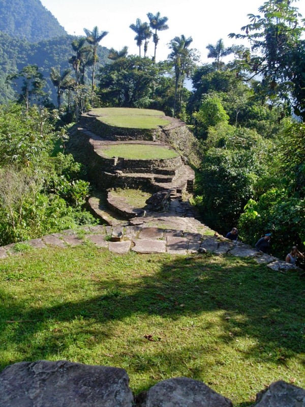 |
6 day hike to Cuidad Perdida (the Lost City) in Columbia
39 Photos
Created 17 August 2012
|
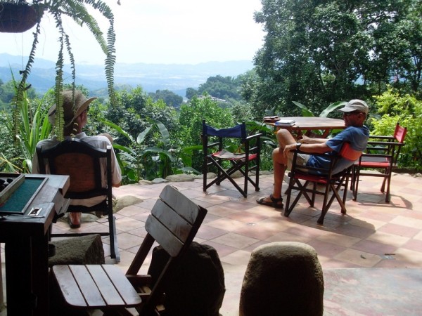 |
Today we took a taxi with bob and Vicky from FoxSea to the foothills of Sierra Nevada de Santa Marta to a place called Minca. It sits in heavy rainforest. Basic concete dwellings ,cafes, and restaurants and music and children everywhere. We visited a local artist, Leila, and her agronomist husband Guillame and I plan to take an afternoon class with her to make paper and build a visual diary - I'm looking forward to it, they are delightful people. Above the town via the stairs next to the church, across the concrete basketball field for the high school and up 200 stairs sits a hostel with hammocks, cold beer and views to the coast. Its run by Stephanie who is English and a refugee from London. Her dog Lola took us for a walk through the forest earlier in the day - very deliberate and well mannered
5 Photos
Created 19 June 2012
|
 |
The colour of the sunset is not enhanced. That is how it looked - blood red.
The remaining three photos are arriving in Santa Marta
9 Photos
Created 19 June 2012
|
 |
 |
 |
Will get to this tomorrow
22 Photos
Created 29 February 2012
|
 |
 |
 |
 |
 |
 |
 |
 |
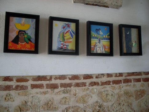 |
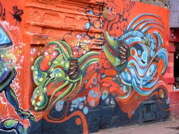
photos of artworks
43 Photos
Created 17 May 2011
|
 |
 |
 |
 |
IOLEA
Who: Paul and Kate
Port: Sydney, Australia
Gallery
USEFUL LINKS
- 2019 Alaska
- 2017 Vanuatu
- 2017 Solomon Islands
- 2017 Kosrae
- 2016-17 The Marshall Islands
- 2016 Kiribati
- 2016 Vanuatu
- 2015 Fiji
- Boat systems
- 2013 Panama to Galapagos
- 2013 galapagos to Marquesas
- 2013 Marquesas
- 2013 Rarotonga
- 2013 Niue
- 2011-12 Trinidad
- 2013-15 New Zealand
- 2013 Tonga
- 2013 French Polynesia
- 2013 Galapagos
- 2012-13 Panama
- 2012 Columbia
- 2012 Bonaire
- 2011 East Caribbean
- 2011 Bahamas
- 2010-11 Florida
- 2010 Annapolis - ICW
- Show All Posts