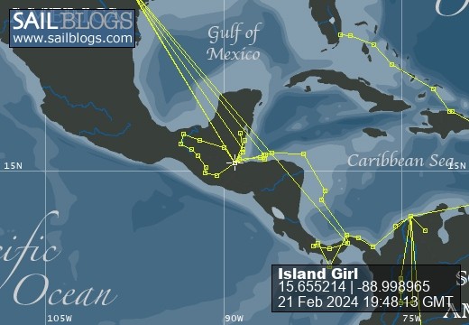
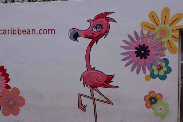
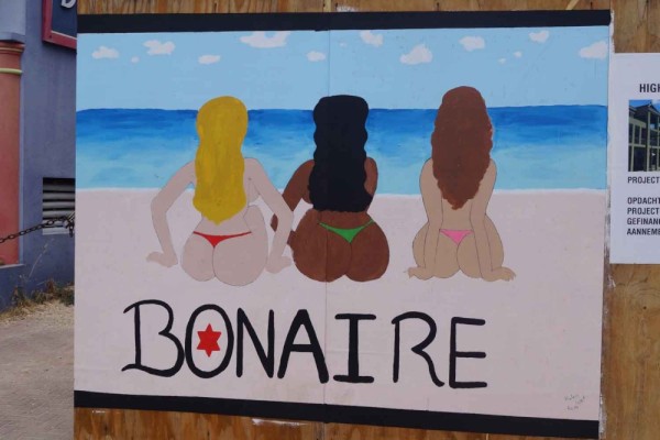
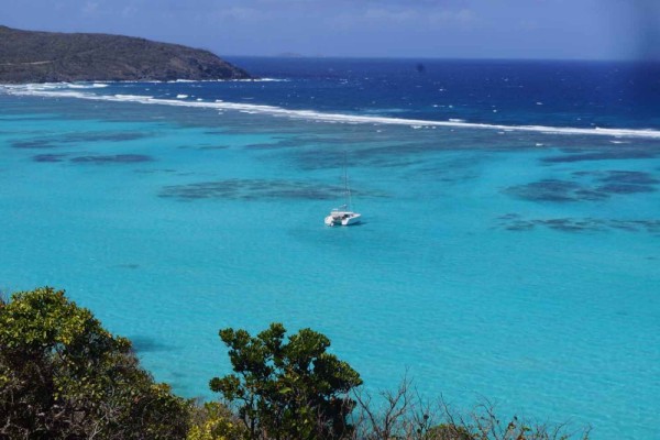
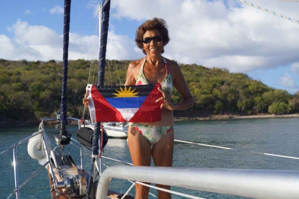
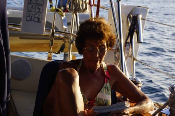
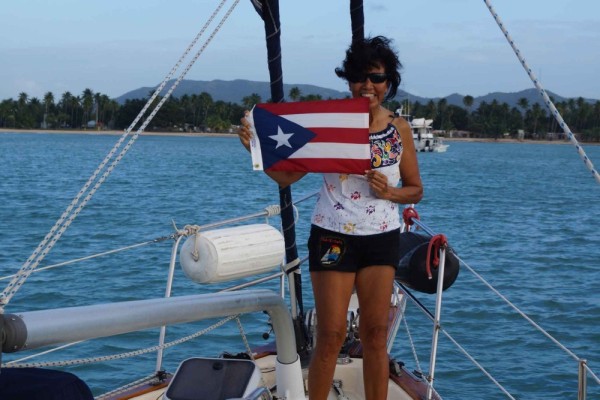
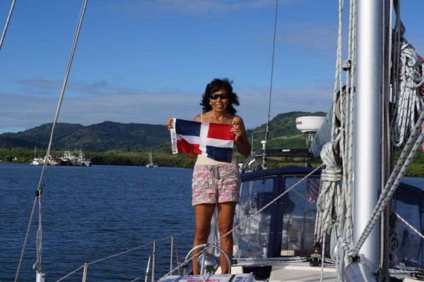
Sailing the Caribbean

21 February 2024
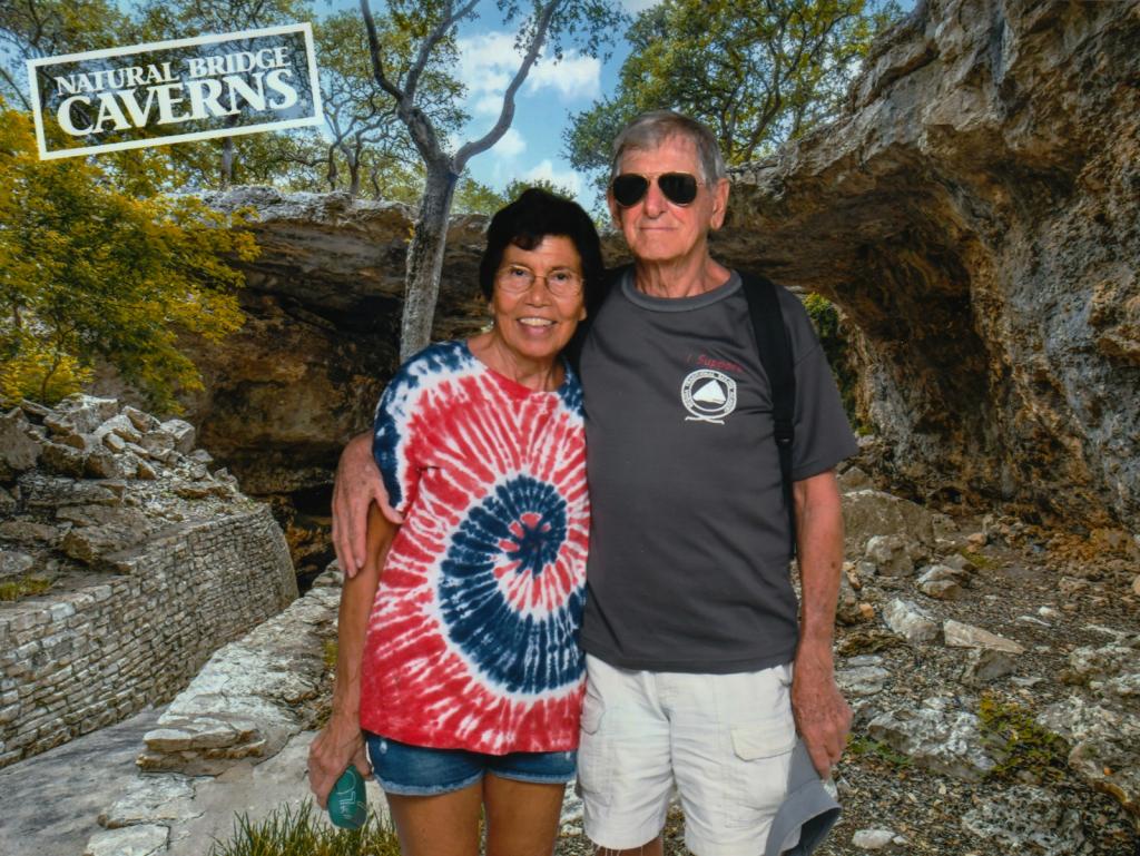
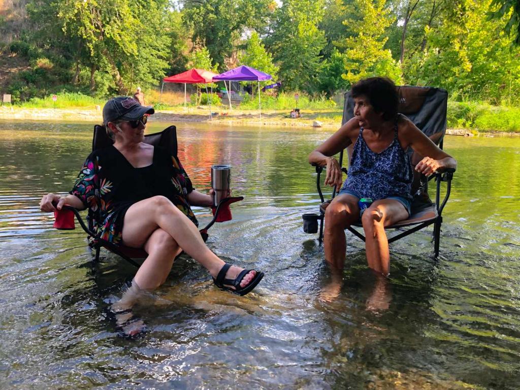
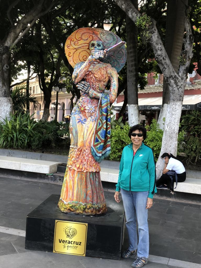
17 November 2023 | New Braunfels Texas
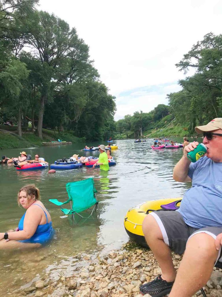
14 August 2023 | New Braunfels
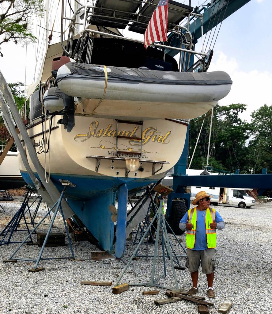
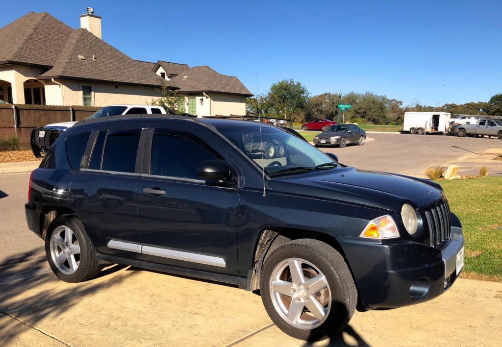
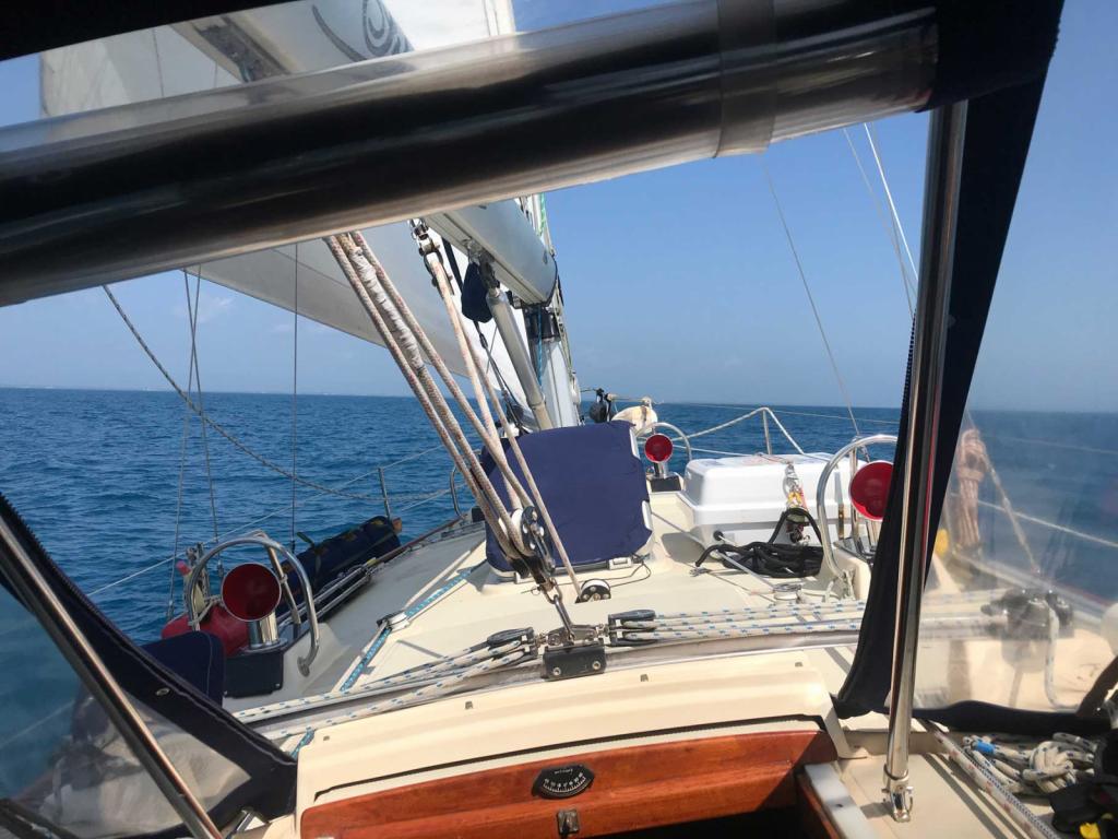
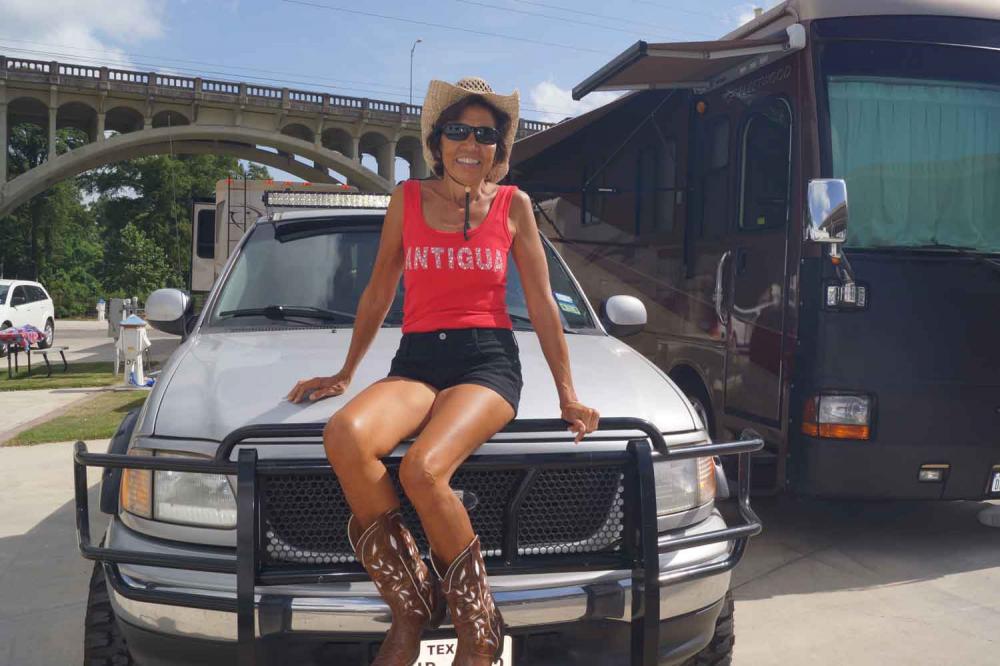
04 June 2023 | New Braunfels Texas
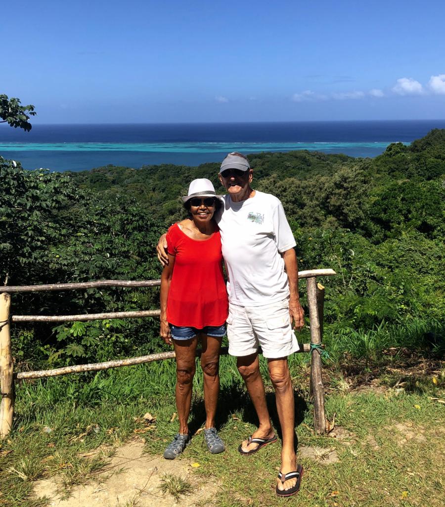
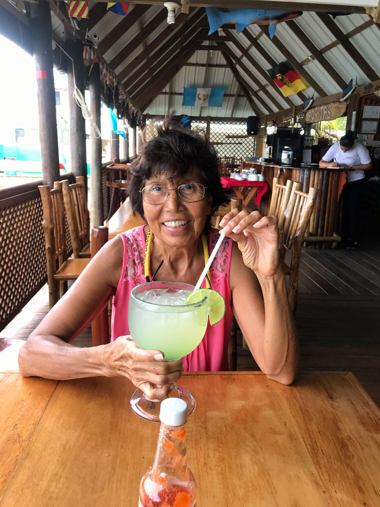
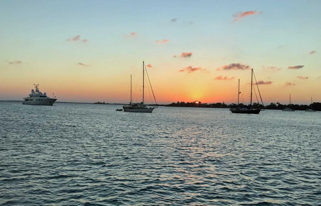
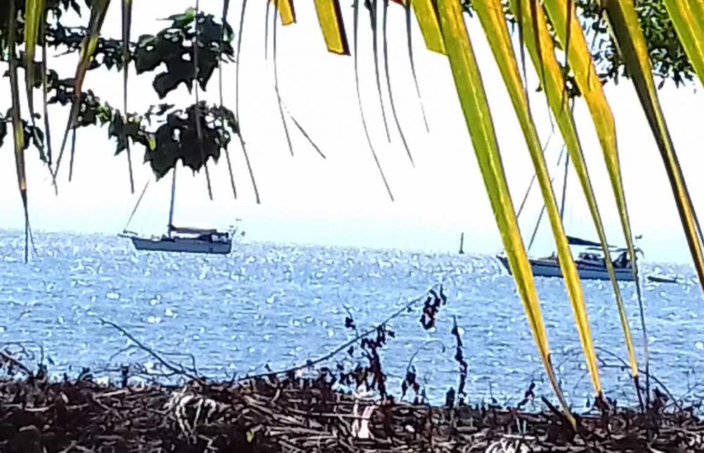
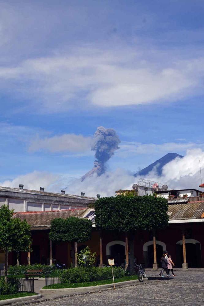
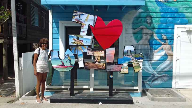
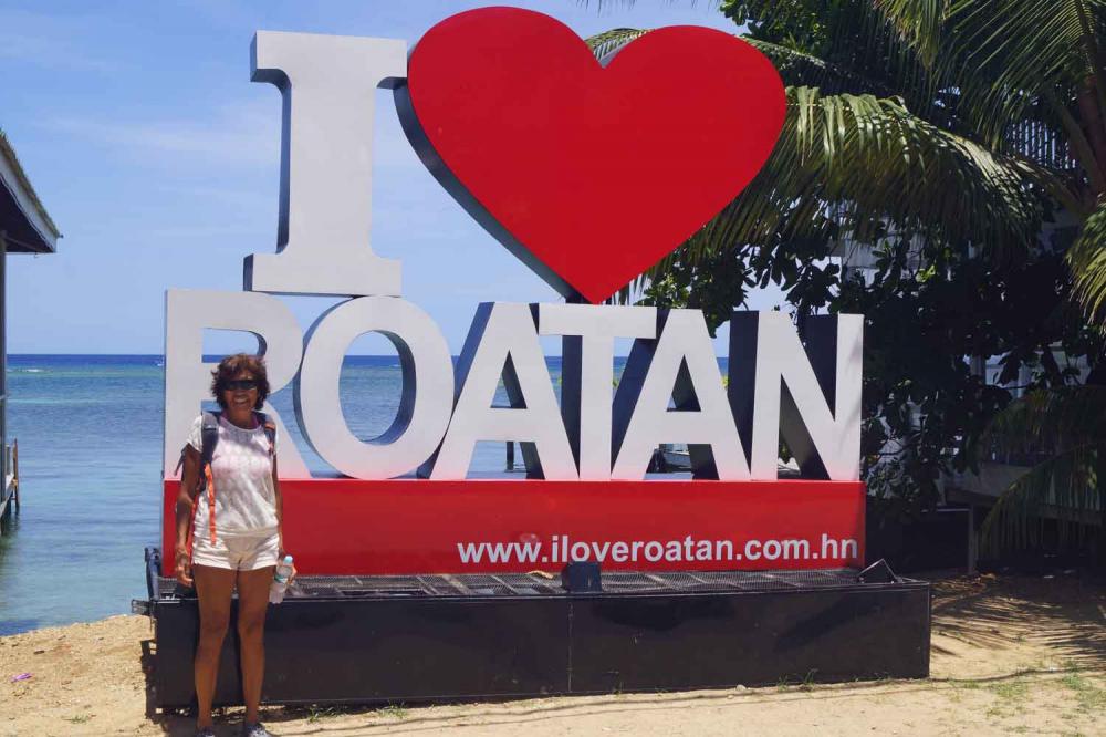
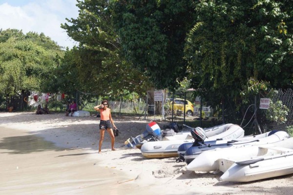
11 February 2023 | Turtle Grass Marina Calablash Bight Roatan Honduras
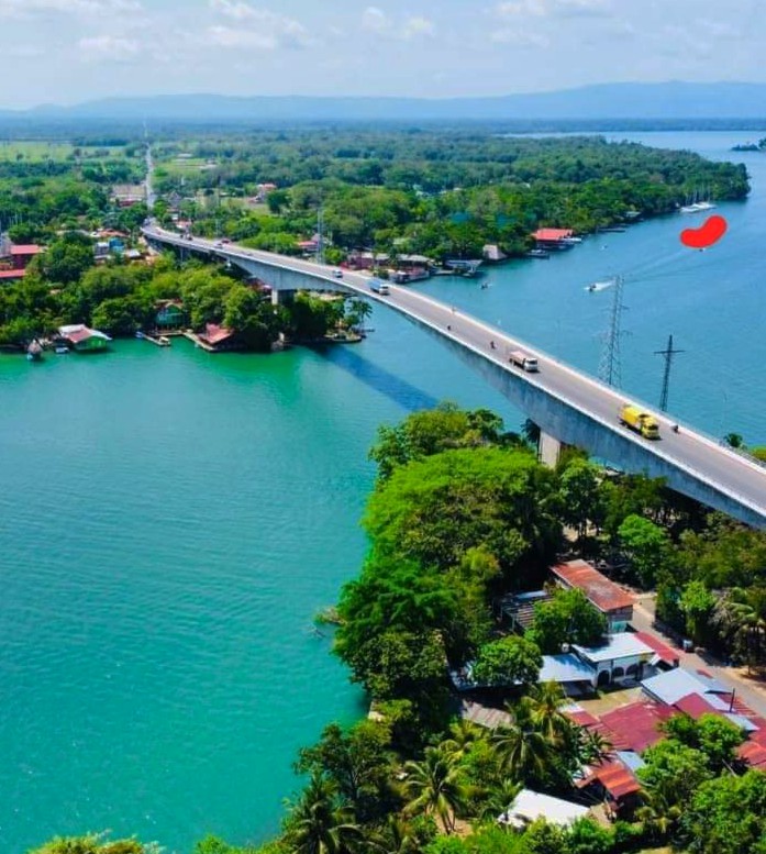
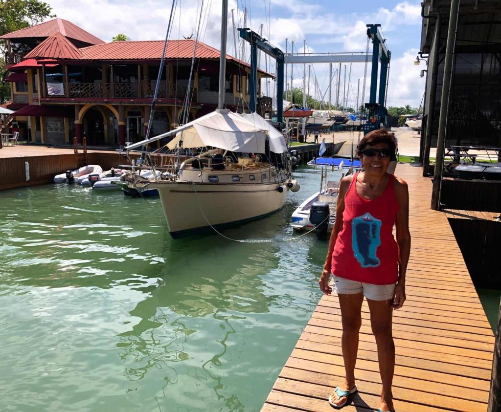
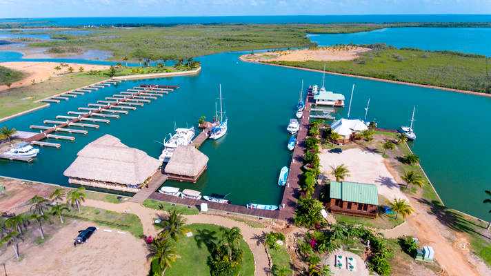
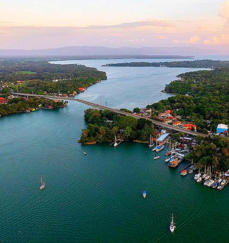
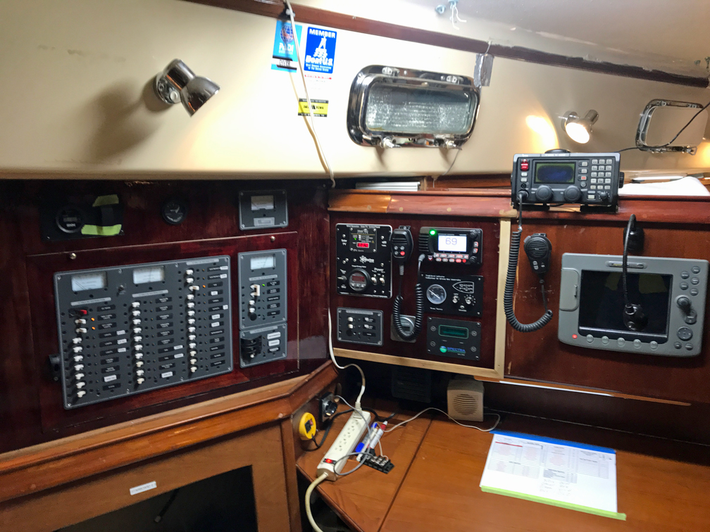
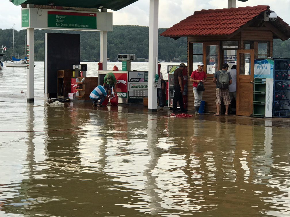
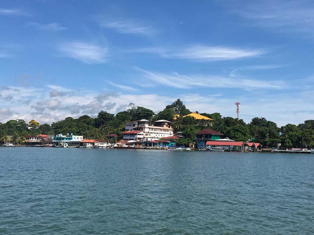
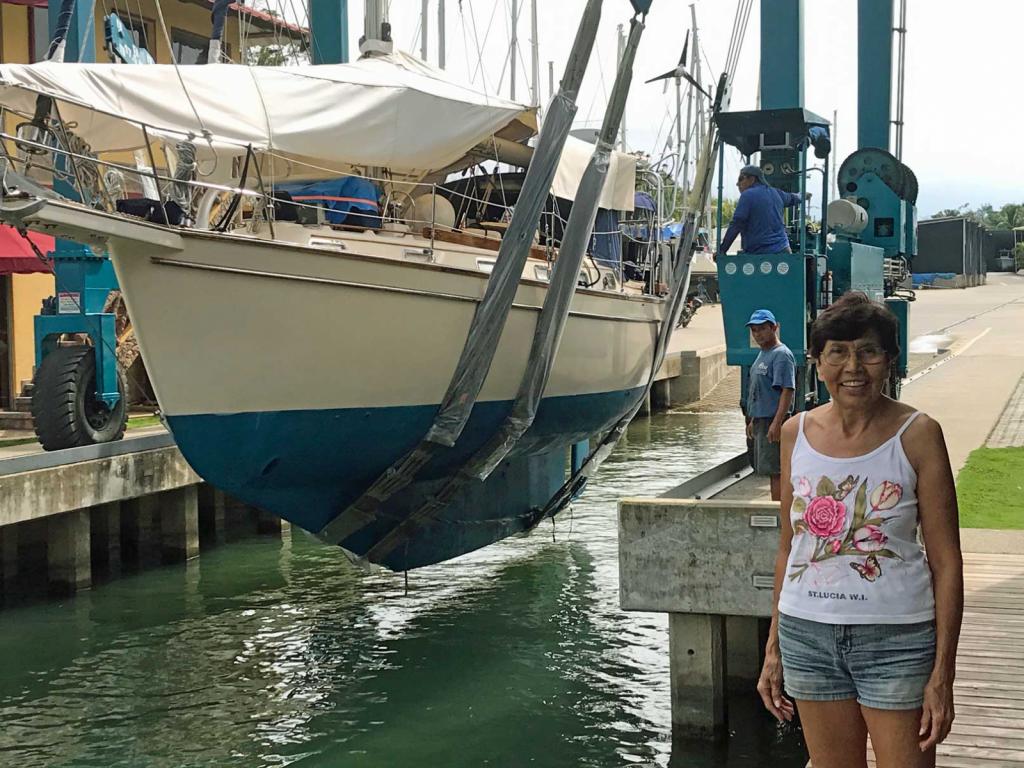
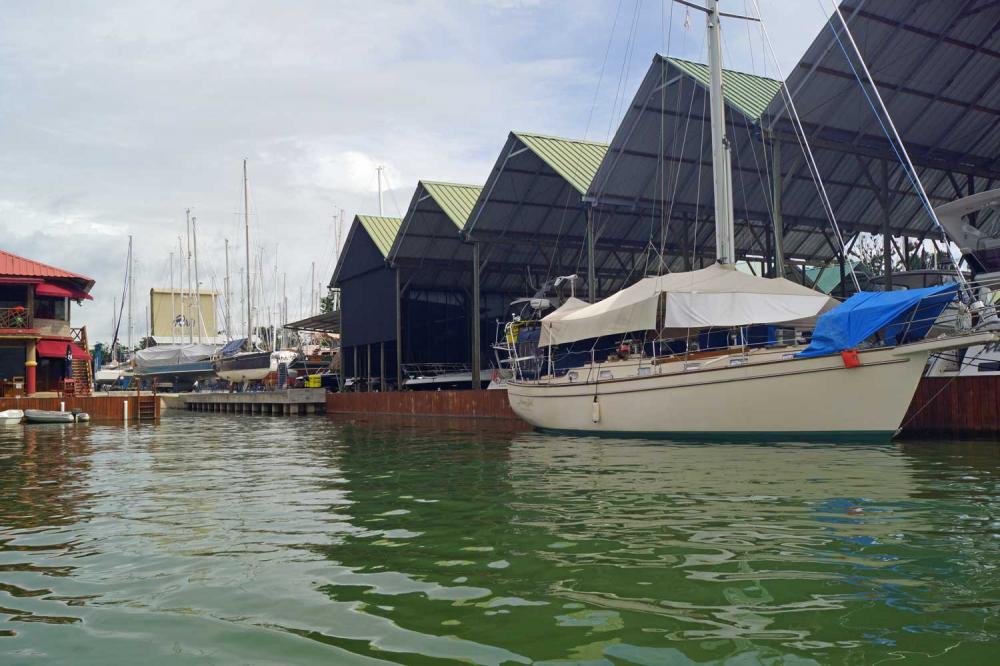
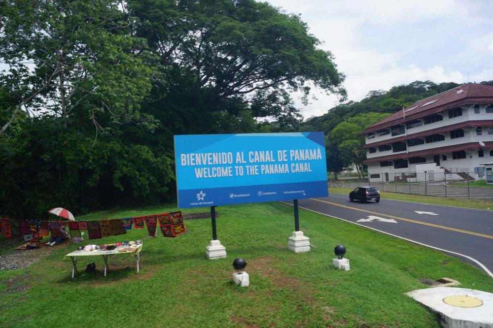
25 December 2022 | RAM Marina Rio Dulce Guatemala
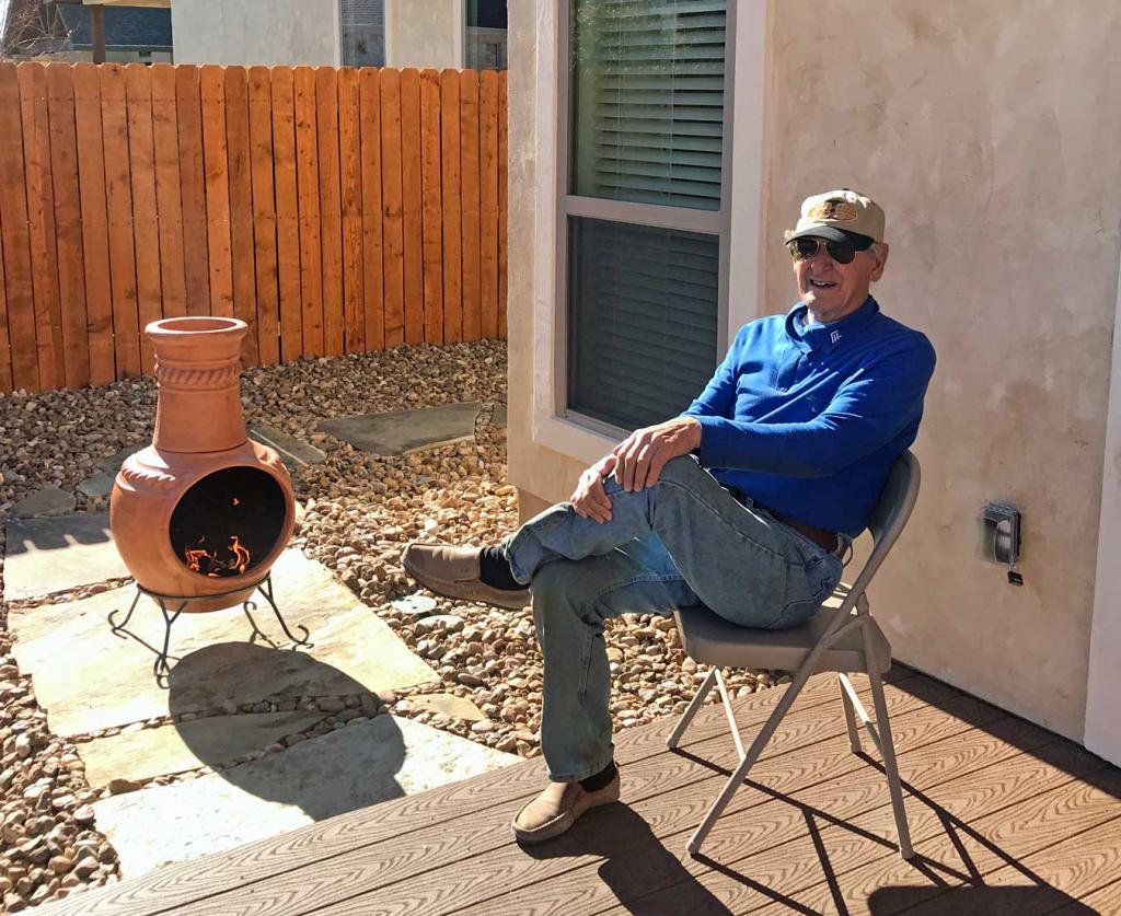
31 October 2022 | New Braunfels, Texas
07 August 2022 | Gruene New Braunfels Texas
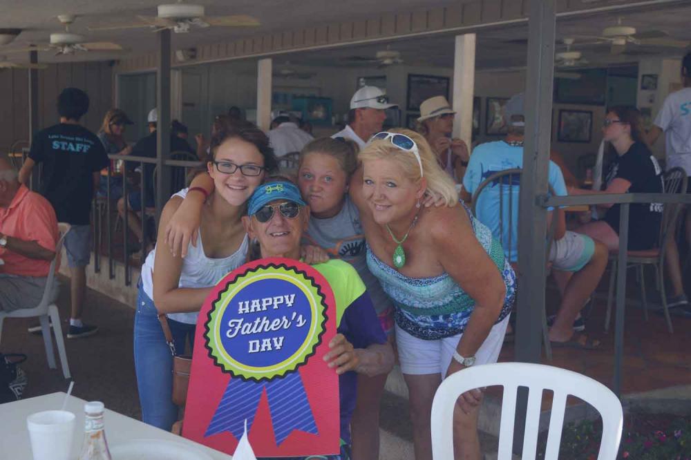
13 June 2022 | Home in New Braunfels
16 April 2022 | The Reserve Marina Sapodilla Lagoon, Beilize
19 February 2022 | RAM Marina Rio Dulce Guatemala
15 December 2021 | RAM Marina Rio Dulce, Guatemala
29 October 2021 | New Braunfels, Texaa
13 August 2021 | New Braunfels, Texas
30 May 2021 | RAM Marina - Rio Dulce Guatemala
17 March 2021 | RAM Marina - Rio Dulce Guatemala
14 December 2020 | RAM Marina - Rio Dulce
28 September 2020 | New Braunfels, Texaa
10 June 2020 | RAM Marina - Rio Dulce
19 May 2020 | The Reserve Marina in Sapodilla Lagoon in Belize
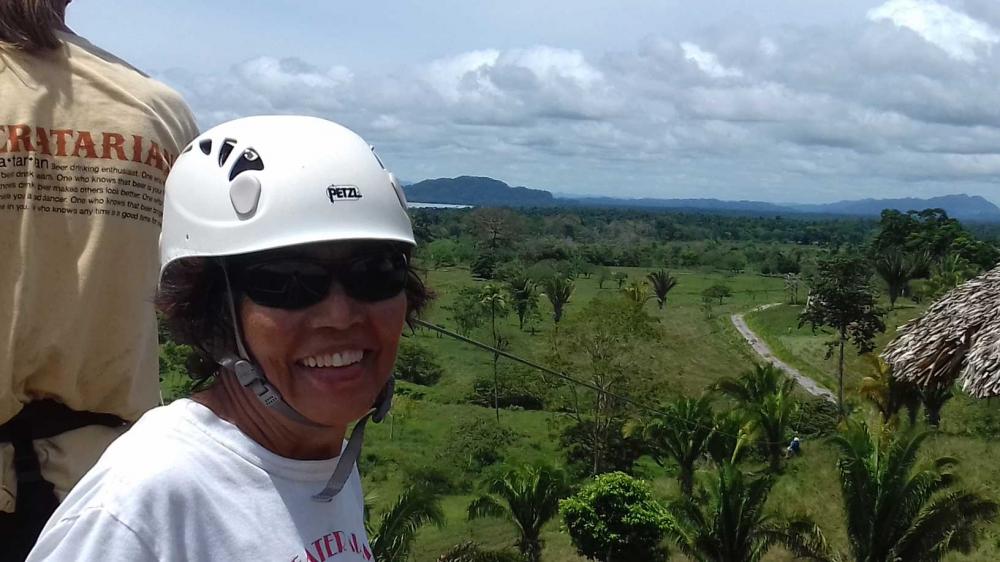
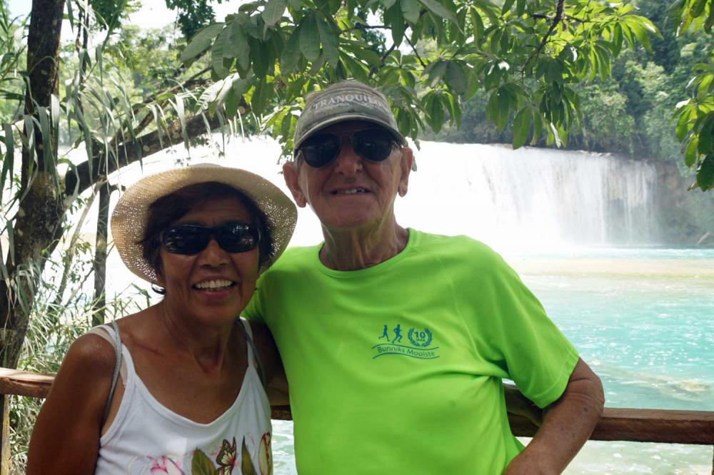
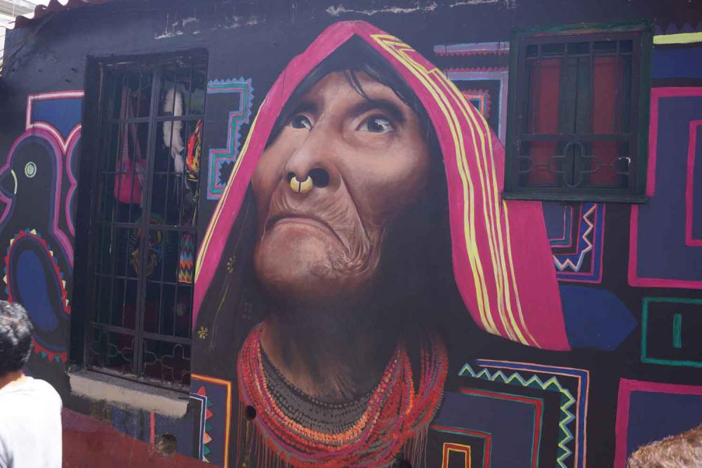
Medellin and the Coffee Triangle
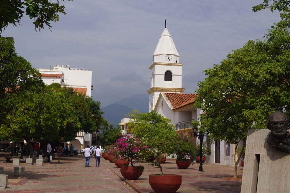
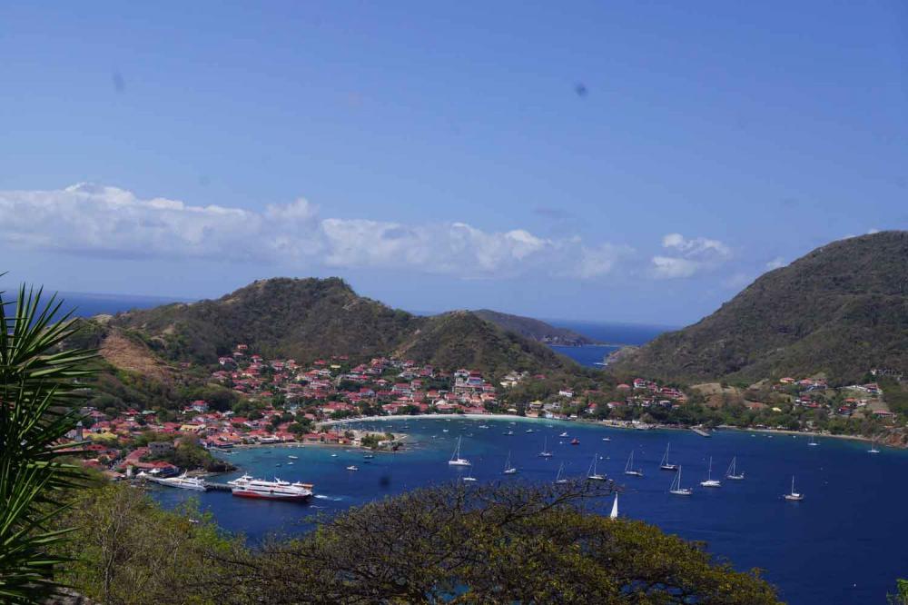
03 February 2016 | Marina Santa Marta
Bert - Blue Sky Warm and Humid

Since this blog will describe a 16 day tour through the Coffee Triangle starting with Medellin I divided this blog in different paragraphs, but every location has its own picture album on our blog page.
Santa Marta to Medellin
We chose to fly to Medellin, but there is no direct flight so we flew first to Bogota with a connecting flight to Medellin. The flight from Santa Marta to Bogota is about one and a half hour and the flight from Bogota to Medellin about an hour. To make sure no one will think that we have a secret social security income: The air fare for the two of us was US$ 101.00. It took a close to 45 minutes taxi ride from the airport in Medellin to our hotel through a beautiful area on the slopes of the valley with a view of the city.
Medellin
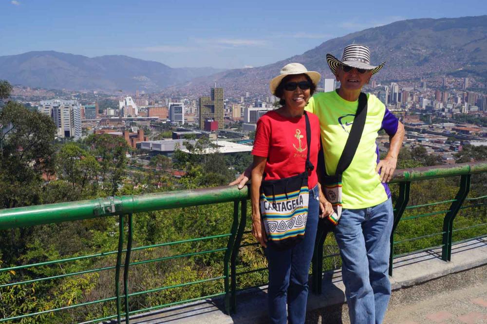
Medellín is a vast city built north to south in the Aburrá valley and surrounded on either side by majestic mountain ranges. The slopes of the surrounding mountains are in some areas covered with high rises of the more wealthy and/or middle class and in other areas houses of poor people. The system to give the poor people a chance to create a better life is based on two pillars: Cheap Transportation and Education.
The city is home to a half-dozen universities, accounting for a vibrant cultural and nightlife scene fueled by thousands of young adults from all over the country. Medellín is also Colombia's second largest industrial center, and home to factories making everything from designer clothing to trucks. To give people an easy way to traverse the city a Metro system was built connected to a cable car, a 1,260 feet electric escalator and a very intensive bus system. This transportation system is the most efficient I have ever encountered during all my trips over the world. We have never waited longer than 1 ½ minutes for a train and the price is only US$ 00.60. The busy markets and a thriving street life make up much of the city's charm. People sell anything from crayons to guinea pigs to garden soil in order to make a living.
The "library park" is a term first used in Medellín for an urban complex formed by a combination of a library building with ample surrounding green space for public use. These library parks are strategically located in the periphery of the city to address the need for more cultural and educational space and public services in less affluent neighborhoods. During the initial plan in 2009 five libraries with attached parks were built to serve underprivileged neighborhoods and this was expanded in 2011 by another 5. The Medellín Metropolitan Area Library Network is a set of 100 libraries linked together to share resources, efforts, knowledge and experience to improve education and culture.
The first day we walked all the way from our hotel to the center of the city and the Botero Plaza and visited the Museum of Antioquia. The next day we did the famous City Walking Tour that gives a lot of history of Medellin, the people and the surrounding area that has a history of isolation from the rest of the country due to the high mountains. The people call themselves Paisa.
We met a nice Colombian man Oscar with his girlfriend Marcela in the cable car and Oscar took us out to many other locations in Medellin like Pueblito Paisa, the Botanical Garden with its butterfly area, the University City Main Campus of the University of Antioquia, one of the most important centers of higher education in the country, with an influx of more than 45,000 students and teachers. Inside the campus are located among others, the University Museum, the Central Library, and a sports complex, the Planetarium of Medellín and its astronomical park, a local attraction park and Parque Explora.
Plaza Botero
Botero Plaza, surrounded by the Museum of Antioquia and the Rafael Uribe Uribe Palace of Culture, is a 1.7 acres outside park that displays 23 sculptures by Colombian artist Fernando Botero, who donated these and several other artworks for the museum's renovation in 2004. The plaza is located in an area of Medellín, Colombia known as the "Old Quarter". Not everyone will appreciate the Botero art, but I love it and have really enjoyed the opportunity to see so much of his art both in the museum and in the plaza.
Arvi Park
We took the metro from the closest station from our hotel to where a the cable car takes you high up in the mountains to Arví Park (in Spanish known as "Ecotourism Park Arví") which is both an ecological nature preserve and Pre-Hispanic archeological site on the eastern slopes of Aburrá Valley, in the northeast area of Medellín. The park covers 39,540 acres, 4,400 of which are in the state of natural forests. And it is equipped with 54 miles of walkable trails. It is known for its wildflowers, butterflies and trails. You can hike, follow nature tours, do cycling, and other outdoor adventure sports. We walked in the park, but I was very interested in the obstacle course high in the trees. After full instruction about the safety equipment a very nice and beautiful lady convinced me to take the level 3 out of the 1 to 4 levels available. Level 1 is for children and level 4 for experts. It was very difficult, but a lot of fun. I started the obstacle course together with our new friends we met in the cable car Oscar and Marcela, but Marcela bailed out after the first part.
Laguna Guatapé
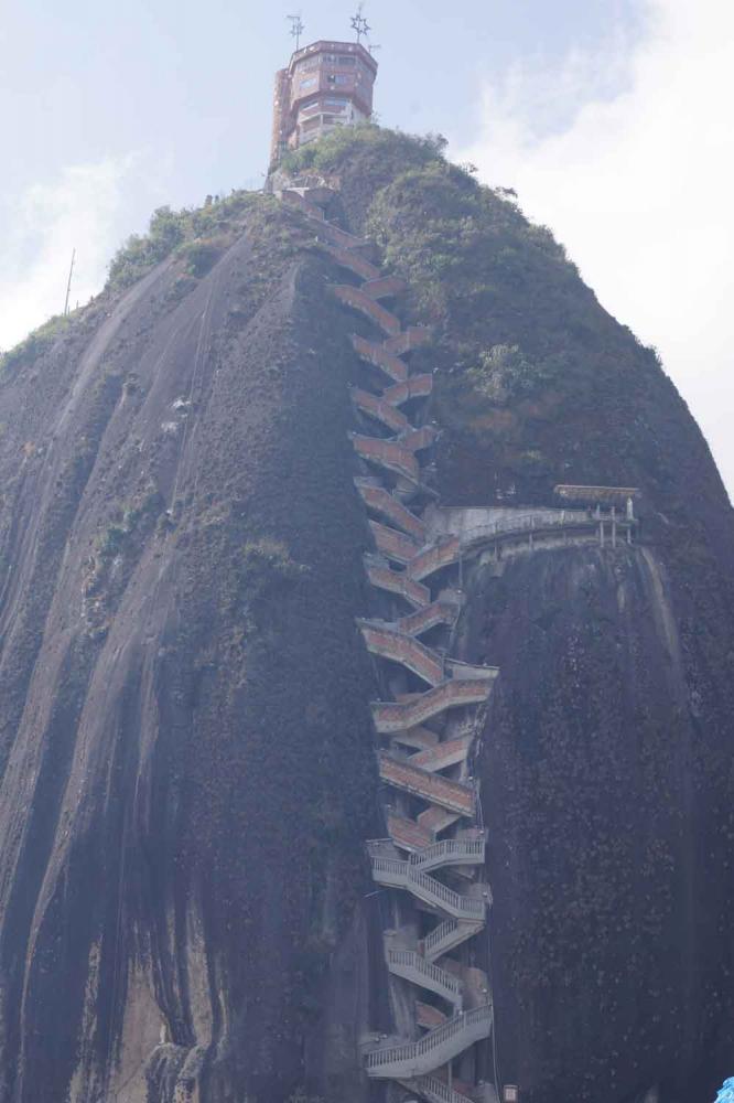
We took a bus ride of about 2 hours to a nice town Guatapé which is located east of Medellín, bordering a reservoir created for a hydro-electric dam, built in the late 1960s. It is a growing area of recreation for citizens of Medellín and a tourist destination for foreign travelers. The buildings are very colorful with tiles along the facades' lower walls in bright colors. However, the main attraction is the "Peñol Rock" (La piedra de Peñol) that borders the lake. It is a rock formation, that was formed 70 million years ago over 640 feet high and visible from throughout the surrounding countryside. Visitors can scale the rock via a staircase built into one side, a path that includes more than 649 steps to the top. On the flat top a tower is built with another 91 steps and gives an open-air viewing area to see the spectacular scenery. Instead of taking a winding road to the plateau where the steps start along the rock, we hiked on a steep slope to the plateau. So Dorothy was already counting the steps before we even started. Every 100 steps we took a rest and made it to the top without any problems. We loved the village with all the beautiful colorful tiled walls and the steep street layout.
Jardín
We took a 4 hour bus ride through the Coffee Triangle with magnificent views to go to Jardín. Jardín is a town in the southwest region of Antioquia. The municipality is located between the San Juan River, which is called Docató (meaning "River stones") by the natives, and a branch of the Western Cordillera. Jardín is identified by its preserved colonial architecture, lush vegetation, abundant rivers and streams. Among others, rivers that flow through Jardin include the San Juan, Claro, and Dojurgo. Trout that is caught in the local rivers is a popular dish in the area and besides the local famous "Bandeja Paisa dish" "trucha" or trout was my favorite lunch dish. The mean daily temperatures are 19°C with moderate humidity like the temperature in Medellin which is too cold for me but when the sun shines it feels a lot better. As soon as the sun goes down the temperature drops like a rock and a nice blanket is needed to sleep comfortably. The plaza with the main church the "Basilica of the Immaculate Concepcion" is the main center of activity in Jardín. During the day mostly elderly people sit on the featured colored wooden chairs drinking coffee. In the evening it looks like the entire population comes to the square to drink and socialize while the children play in front of the Basilica. The square is paved with rocks from the Tapartó River with several gardens and in the middle a very nice fountain. This basilica is also built from hand-cut stones from the Tapartó River nearby in a Neo-Gothic style and is very big in relation to the total population in this area.
Completed in 2007, Jardín has two cable-car lines. The lines were created to help peasants from the surrounding villages to enter the town to sell their goods but also to boost tourism. We took the cable-car ride to a local mountain peak known as the Flower Hilltop that provides a great view of the town.
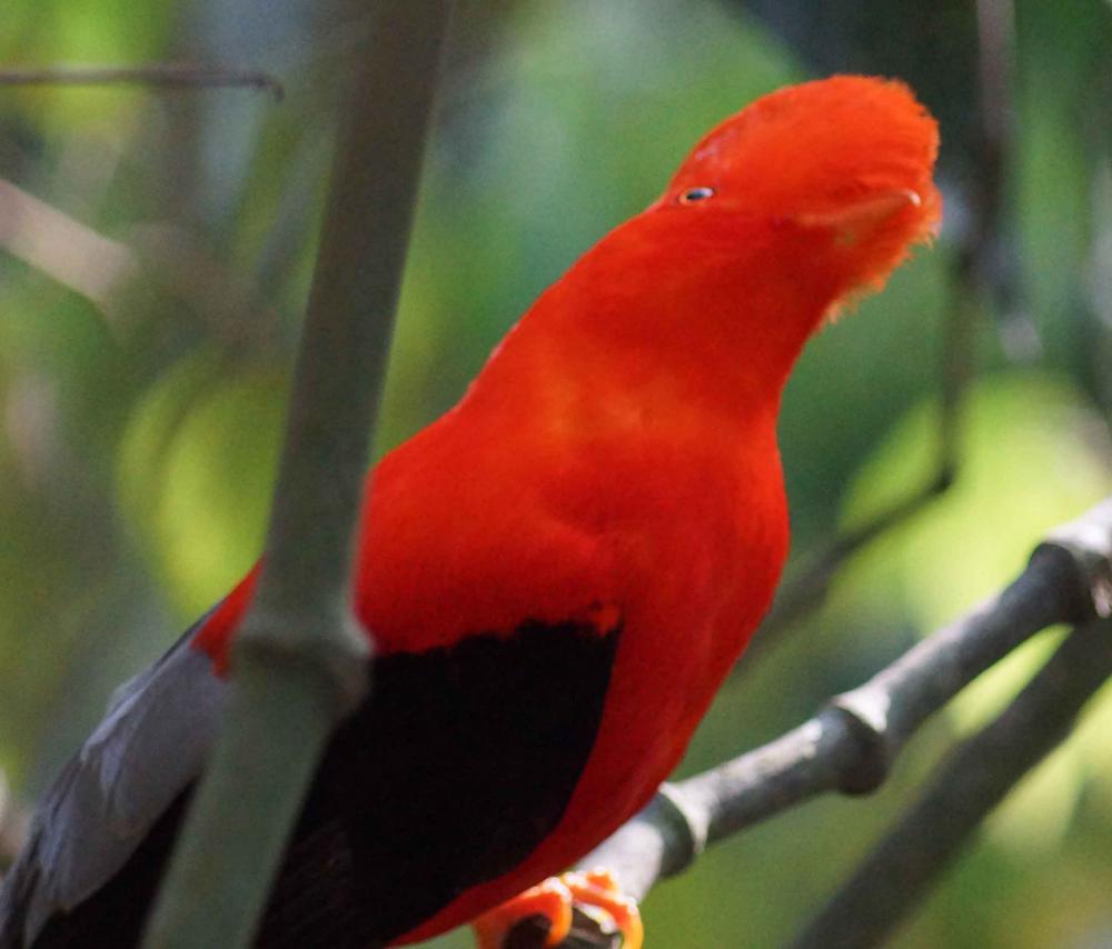
We visited two nights in a row the "Reserva Natural Del Gallito de Roca" to see this beautiful bird and try to take pictures. Even the professional bird watchers were impressed by the pictures I took. However, the price was high to visit this park in the evening since the mosquitoes were feasting on us.
A fellow cruiser advised us that the dirt trail over the mountains from Jardin to Riosucio was not for the faint of heart, but we did not take that too seriously. How wrong could we be? The rocky trail is on many places not much wider than the open bus. On one side an over 1000 ft. ravine and on the other side branches that hit the bus on the front and entered the bus on the side. It was cold, sometimes scary but the views were amazing. The bus ride from Riosucio to Manizales was a lot more comfortable but the views were even more beautiful with all the coffee farms in the mountains.
Manizales a City in the Mountains
Manizales is one of the most fascinating cities I have ever visited. It is the capital of the Department of Caldas and the city and municipality are part of the Coffee Triangle near the 17,457.3 feet high "Nevado Del Ruis Volcano" which we could not visit due to seismic activities. The city is the main center for the production of coffee and an important hub for higher educational institutions. The city was founded on October 12, 1849, by a group of twenty people, who came from Neira and Salamina; it has a strong Spanish influence in the culture and population, is very homogeneous, mostly white, with only small other ethnic groups who migrated to the city in search of the universities.
The city lies 7050 ft. above sea level on the Colombian Central Mountain Range which is part of the longest continental mountain range, The Andes. It has a great deal of ridgelines and steep slopes, which, combined with the seismic instability of the area, has required architectural adaptations and public works to make the city safer. Even though Manizales has this very difficult topography, there are many coffee plantations in its fertile lands in the basin of the Chinchiná River and sub-basin of the Guacaica River. This area is prone to earthquakes, mud slides, and volcanic eruptions.
Close to our hotel Carrera #23 runs east/west over a ridge line and on every intersection the side roads (Calles) are going down very steep so it is important to plan your walking tour through the city very carefully if you donot want to climb or descend every time you want to change directions. The streets are filled with people shopping or just like us wandering the streets and enjoying fruit and ice cream from the street vendors. It was a tough life to be in this City. We took the cable car to the Bus Terminal to check our bus connection to Salento and to visit the Villamaria Neighborhood on the other side of a deep river ravine. The cost of using this great transportation system is only about US$ 0.50.
Just around the corner of our hotel is the Catedral de Manizales with in front of it the Plaza Bolivar. The Catedral is in need of some restoration, but it is a lot of fun to be in the plaza especially in the evening. Walking east in very nice shopping street you come to the plaza in front of the "Iglesia de la Inmaculada Concepcion" with a plaza full of people, street vendors and live music. I took a picture with the full moon just over the church.
The "Monumento a los Colonizadores" depicts the struggle the 20 people who funded the city had when climbing the mountains. From the monument you have a 360 degree view of the surrounding mountains and a small field used by Paragliders who use the thermal to climb in seconds high over the valley. The "Templo Del Sagrado Corazon Los Agustinos" is a very beautiful well maintained white church with stained glass windows. The "Iglesia de Nuestra Senora Del Rosario" is on top of one of the highest places in the city and due to that visible from everywhere. A fun thing was to visit a Water Tower on the edge of the ridge which now has a restaurant, an outside walkway, a rock wall climb, an observation deck and for the old folks like us an elevator.
We had a great time in Manizales with a lot of walking and enjoying the beautiful scenery, places and all the friendly people.
Salento, the town where I would like to spend the rest of my life.
Salento is a town and municipality in the north-east of the department of Quindío and is located 15 miles northeast of the departmental capital Armenia and 24 miles from Pereira where we changed buses on our way from Manizales. It is a small town with only about 3500 people and another 4000 in the surrounding area. When the main route from Popayán and Cali to Bogotá was diverted the town became isolated and did not develop as rapidly as the rest of the region. For this reason it has retained more of its traditional colonial architecture than almost any other town along with a quiet and relaxed way of life, and as a result the town and nearby "Cocora Valley" are among the most popular tourist destinations in Colombia. Its geography is varied, rising from around 4,200 feet in the fertile valleys of the west of the municipality to the permanently snow-capped summit of the "Nevado Del Quindío", which at 15,200 feet is the highest point of the department of Quindío. The town of Salento itself lies on a plateau above the "Quindío river Valley" at an elevation of 6000 feet and has steep drops to the valley floor at its northern and western perimeters. In 1830 Simón Bolívar traveled the above mentioned route and ordered that it be upgraded due to its poor condition and strategic importance; however, the town was not established until 5 January 1842.
We stayed in the "Salento Real Hotel" close to the town square as long as you do not count the steep roads you have to walk to make it to the town square. In my years of traveling for KLM Royal Dutch Airlines I have stayed in the most expensive hotels in the world, but I will remember this hotel in Salento for the rest of my life. What is not to like in this hotel, the service is the best I have ever experienced, the staff is great, the rooms are very good and the ambiance is excellent. For our hike into the mountains and our departure we needed to leave at 7:00 AM and would miss the free breakfast, but the kitchen staff came in early so we still could enjoy our breakfast before we had to leave. And what a breakfast it was: my daily choice: Fruit, pancakes and scrambled eggs, juice and coffee.
Although close to the equator (4.6 degree latitude) it gets cold as soon the sun goes down. During the day when the sun is shining it is nice and warm. Maybe due to the change in temperature since we arrived in Medellin I got a cold so we took an easy first day with walking (climbing) through town and taking 250 steps with the fourteen "Stations of the Cross" to the "Alto de la Cruz" a hill with a beautiful view over the town, the "Cocora Valley" and many of the mountains of the "Los Nevados National Natural Park".
Every day for lunch we ate freshwater trout that are farmed locally in the "Cocora Valley' cooked in a variety of sauces and served on a large "patacon", a fritter of green plantain. The "patacon" is prepared from green unripe plantains sliced length-wise, diagonally, or width-wise and then fried twice. The raw slices of plantains are fried for one to two minutes on each side until they are golden in color, and removed and patted for excess cooking oil. Afterwards, they are pounded flat with a hinged utensil made for the task, called a "tostonera". The flattened plantain slices are then fried once again until they are crisp and golden brown.
Salento is the starting point for excursions into the "Cocora Valley" and hiking in the "Los Nevados National Natural Park". A jeep taxi takes you from the town square and travels 7 miles up the valley to the settlement of "Cocora", from where the valley may be explored on foot or on horseback via numerous trails. We did what is called the trail for hikers and nature lovers "La Cascade - La Montana" which starts and ends in "Cocora Valley". It took us a total 6 hours of hiking and we reached an altitude of 10,000 ft. This trail took us along changing landscapes and fauna with rivers to cross into high silent forest. In the "Cocora Valley" you find the over 350 year old "Wax Palm" that reaches a height of 250 ft. When we arrived in the morning in the valley we met a girl who takes daily an hour horseback ride from her father's farm up in the mountains and half an hour "Willy" ride to go to school.
The next day we took a horseback ride to a Coffee Farm in the valley. It was both for Dorothy and me a long time ago we were on horseback and Dorothy was first a little apprehensive, but the handler had a nice small horse for her and after we left town she also started to enjoy herself. For me this was the highlight of our 16 day trip through the Coffee Triangle. The interactive tour through the coffee farm was fun and interesting, but I was looking forward to our return trip on a beautiful horse that made me feel the most experienced rider. I wish I could have stayed in Salento and ride her every day.
Bus trip from Salento to Bogota
Since we had to get the 9:00 AM Express Bus from Pereira to Bogota to catch our flight back to Santa Marta we took a taxi leaving at 7:00 AM from our Hotel in Salento. Although the normal breakfast hour starts at 7:00 AM the kitchen staff started a little early to serve us our full breakfast. We had a double decker bus and we had two of the front seats with a beautiful view. However, when we started to climb the Andes Mountains after Armenia in every hairpin curve people in the curve directed climbing and descending traffic we drove very close to deep ravines it was a little scary to look down. After a 1 ½ hour climb we descended partly into a valley we drove for 3 hours on the edge of the mountain range through every gorge with again using very sharp hairpin curves. A new road is under construction which cuts with tunnels through the mountains and with very high bridges over the gorges. The total distance is only 200 miles but it took us 9 hours which indicates how difficult this drive is with an average speed of 22 miles per hour.
Santa Marta to Medellin
We chose to fly to Medellin, but there is no direct flight so we flew first to Bogota with a connecting flight to Medellin. The flight from Santa Marta to Bogota is about one and a half hour and the flight from Bogota to Medellin about an hour. To make sure no one will think that we have a secret social security income: The air fare for the two of us was US$ 101.00. It took a close to 45 minutes taxi ride from the airport in Medellin to our hotel through a beautiful area on the slopes of the valley with a view of the city.
Medellin
Medellín is a vast city built north to south in the Aburrá valley and surrounded on either side by majestic mountain ranges. The slopes of the surrounding mountains are in some areas covered with high rises of the more wealthy and/or middle class and in other areas houses of poor people. The system to give the poor people a chance to create a better life is based on two pillars: Cheap Transportation and Education.
The city is home to a half-dozen universities, accounting for a vibrant cultural and nightlife scene fueled by thousands of young adults from all over the country. Medellín is also Colombia's second largest industrial center, and home to factories making everything from designer clothing to trucks. To give people an easy way to traverse the city a Metro system was built connected to a cable car, a 1,260 feet electric escalator and a very intensive bus system. This transportation system is the most efficient I have ever encountered during all my trips over the world. We have never waited longer than 1 ½ minutes for a train and the price is only US$ 00.60. The busy markets and a thriving street life make up much of the city's charm. People sell anything from crayons to guinea pigs to garden soil in order to make a living.
The "library park" is a term first used in Medellín for an urban complex formed by a combination of a library building with ample surrounding green space for public use. These library parks are strategically located in the periphery of the city to address the need for more cultural and educational space and public services in less affluent neighborhoods. During the initial plan in 2009 five libraries with attached parks were built to serve underprivileged neighborhoods and this was expanded in 2011 by another 5. The Medellín Metropolitan Area Library Network is a set of 100 libraries linked together to share resources, efforts, knowledge and experience to improve education and culture.
The first day we walked all the way from our hotel to the center of the city and the Botero Plaza and visited the Museum of Antioquia. The next day we did the famous City Walking Tour that gives a lot of history of Medellin, the people and the surrounding area that has a history of isolation from the rest of the country due to the high mountains. The people call themselves Paisa.
We met a nice Colombian man Oscar with his girlfriend Marcela in the cable car and Oscar took us out to many other locations in Medellin like Pueblito Paisa, the Botanical Garden with its butterfly area, the University City Main Campus of the University of Antioquia, one of the most important centers of higher education in the country, with an influx of more than 45,000 students and teachers. Inside the campus are located among others, the University Museum, the Central Library, and a sports complex, the Planetarium of Medellín and its astronomical park, a local attraction park and Parque Explora.
Plaza Botero
Botero Plaza, surrounded by the Museum of Antioquia and the Rafael Uribe Uribe Palace of Culture, is a 1.7 acres outside park that displays 23 sculptures by Colombian artist Fernando Botero, who donated these and several other artworks for the museum's renovation in 2004. The plaza is located in an area of Medellín, Colombia known as the "Old Quarter". Not everyone will appreciate the Botero art, but I love it and have really enjoyed the opportunity to see so much of his art both in the museum and in the plaza.
Arvi Park
We took the metro from the closest station from our hotel to where a the cable car takes you high up in the mountains to Arví Park (in Spanish known as "Ecotourism Park Arví") which is both an ecological nature preserve and Pre-Hispanic archeological site on the eastern slopes of Aburrá Valley, in the northeast area of Medellín. The park covers 39,540 acres, 4,400 of which are in the state of natural forests. And it is equipped with 54 miles of walkable trails. It is known for its wildflowers, butterflies and trails. You can hike, follow nature tours, do cycling, and other outdoor adventure sports. We walked in the park, but I was very interested in the obstacle course high in the trees. After full instruction about the safety equipment a very nice and beautiful lady convinced me to take the level 3 out of the 1 to 4 levels available. Level 1 is for children and level 4 for experts. It was very difficult, but a lot of fun. I started the obstacle course together with our new friends we met in the cable car Oscar and Marcela, but Marcela bailed out after the first part.
Laguna Guatapé
We took a bus ride of about 2 hours to a nice town Guatapé which is located east of Medellín, bordering a reservoir created for a hydro-electric dam, built in the late 1960s. It is a growing area of recreation for citizens of Medellín and a tourist destination for foreign travelers. The buildings are very colorful with tiles along the facades' lower walls in bright colors. However, the main attraction is the "Peñol Rock" (La piedra de Peñol) that borders the lake. It is a rock formation, that was formed 70 million years ago over 640 feet high and visible from throughout the surrounding countryside. Visitors can scale the rock via a staircase built into one side, a path that includes more than 649 steps to the top. On the flat top a tower is built with another 91 steps and gives an open-air viewing area to see the spectacular scenery. Instead of taking a winding road to the plateau where the steps start along the rock, we hiked on a steep slope to the plateau. So Dorothy was already counting the steps before we even started. Every 100 steps we took a rest and made it to the top without any problems. We loved the village with all the beautiful colorful tiled walls and the steep street layout.
Jardín
We took a 4 hour bus ride through the Coffee Triangle with magnificent views to go to Jardín. Jardín is a town in the southwest region of Antioquia. The municipality is located between the San Juan River, which is called Docató (meaning "River stones") by the natives, and a branch of the Western Cordillera. Jardín is identified by its preserved colonial architecture, lush vegetation, abundant rivers and streams. Among others, rivers that flow through Jardin include the San Juan, Claro, and Dojurgo. Trout that is caught in the local rivers is a popular dish in the area and besides the local famous "Bandeja Paisa dish" "trucha" or trout was my favorite lunch dish. The mean daily temperatures are 19°C with moderate humidity like the temperature in Medellin which is too cold for me but when the sun shines it feels a lot better. As soon as the sun goes down the temperature drops like a rock and a nice blanket is needed to sleep comfortably. The plaza with the main church the "Basilica of the Immaculate Concepcion" is the main center of activity in Jardín. During the day mostly elderly people sit on the featured colored wooden chairs drinking coffee. In the evening it looks like the entire population comes to the square to drink and socialize while the children play in front of the Basilica. The square is paved with rocks from the Tapartó River with several gardens and in the middle a very nice fountain. This basilica is also built from hand-cut stones from the Tapartó River nearby in a Neo-Gothic style and is very big in relation to the total population in this area.
Completed in 2007, Jardín has two cable-car lines. The lines were created to help peasants from the surrounding villages to enter the town to sell their goods but also to boost tourism. We took the cable-car ride to a local mountain peak known as the Flower Hilltop that provides a great view of the town.
We visited two nights in a row the "Reserva Natural Del Gallito de Roca" to see this beautiful bird and try to take pictures. Even the professional bird watchers were impressed by the pictures I took. However, the price was high to visit this park in the evening since the mosquitoes were feasting on us.
A fellow cruiser advised us that the dirt trail over the mountains from Jardin to Riosucio was not for the faint of heart, but we did not take that too seriously. How wrong could we be? The rocky trail is on many places not much wider than the open bus. On one side an over 1000 ft. ravine and on the other side branches that hit the bus on the front and entered the bus on the side. It was cold, sometimes scary but the views were amazing. The bus ride from Riosucio to Manizales was a lot more comfortable but the views were even more beautiful with all the coffee farms in the mountains.
Manizales a City in the Mountains
Manizales is one of the most fascinating cities I have ever visited. It is the capital of the Department of Caldas and the city and municipality are part of the Coffee Triangle near the 17,457.3 feet high "Nevado Del Ruis Volcano" which we could not visit due to seismic activities. The city is the main center for the production of coffee and an important hub for higher educational institutions. The city was founded on October 12, 1849, by a group of twenty people, who came from Neira and Salamina; it has a strong Spanish influence in the culture and population, is very homogeneous, mostly white, with only small other ethnic groups who migrated to the city in search of the universities.
The city lies 7050 ft. above sea level on the Colombian Central Mountain Range which is part of the longest continental mountain range, The Andes. It has a great deal of ridgelines and steep slopes, which, combined with the seismic instability of the area, has required architectural adaptations and public works to make the city safer. Even though Manizales has this very difficult topography, there are many coffee plantations in its fertile lands in the basin of the Chinchiná River and sub-basin of the Guacaica River. This area is prone to earthquakes, mud slides, and volcanic eruptions.
Close to our hotel Carrera #23 runs east/west over a ridge line and on every intersection the side roads (Calles) are going down very steep so it is important to plan your walking tour through the city very carefully if you donot want to climb or descend every time you want to change directions. The streets are filled with people shopping or just like us wandering the streets and enjoying fruit and ice cream from the street vendors. It was a tough life to be in this City. We took the cable car to the Bus Terminal to check our bus connection to Salento and to visit the Villamaria Neighborhood on the other side of a deep river ravine. The cost of using this great transportation system is only about US$ 0.50.
Just around the corner of our hotel is the Catedral de Manizales with in front of it the Plaza Bolivar. The Catedral is in need of some restoration, but it is a lot of fun to be in the plaza especially in the evening. Walking east in very nice shopping street you come to the plaza in front of the "Iglesia de la Inmaculada Concepcion" with a plaza full of people, street vendors and live music. I took a picture with the full moon just over the church.
The "Monumento a los Colonizadores" depicts the struggle the 20 people who funded the city had when climbing the mountains. From the monument you have a 360 degree view of the surrounding mountains and a small field used by Paragliders who use the thermal to climb in seconds high over the valley. The "Templo Del Sagrado Corazon Los Agustinos" is a very beautiful well maintained white church with stained glass windows. The "Iglesia de Nuestra Senora Del Rosario" is on top of one of the highest places in the city and due to that visible from everywhere. A fun thing was to visit a Water Tower on the edge of the ridge which now has a restaurant, an outside walkway, a rock wall climb, an observation deck and for the old folks like us an elevator.
We had a great time in Manizales with a lot of walking and enjoying the beautiful scenery, places and all the friendly people.
Salento, the town where I would like to spend the rest of my life.
Salento is a town and municipality in the north-east of the department of Quindío and is located 15 miles northeast of the departmental capital Armenia and 24 miles from Pereira where we changed buses on our way from Manizales. It is a small town with only about 3500 people and another 4000 in the surrounding area. When the main route from Popayán and Cali to Bogotá was diverted the town became isolated and did not develop as rapidly as the rest of the region. For this reason it has retained more of its traditional colonial architecture than almost any other town along with a quiet and relaxed way of life, and as a result the town and nearby "Cocora Valley" are among the most popular tourist destinations in Colombia. Its geography is varied, rising from around 4,200 feet in the fertile valleys of the west of the municipality to the permanently snow-capped summit of the "Nevado Del Quindío", which at 15,200 feet is the highest point of the department of Quindío. The town of Salento itself lies on a plateau above the "Quindío river Valley" at an elevation of 6000 feet and has steep drops to the valley floor at its northern and western perimeters. In 1830 Simón Bolívar traveled the above mentioned route and ordered that it be upgraded due to its poor condition and strategic importance; however, the town was not established until 5 January 1842.
We stayed in the "Salento Real Hotel" close to the town square as long as you do not count the steep roads you have to walk to make it to the town square. In my years of traveling for KLM Royal Dutch Airlines I have stayed in the most expensive hotels in the world, but I will remember this hotel in Salento for the rest of my life. What is not to like in this hotel, the service is the best I have ever experienced, the staff is great, the rooms are very good and the ambiance is excellent. For our hike into the mountains and our departure we needed to leave at 7:00 AM and would miss the free breakfast, but the kitchen staff came in early so we still could enjoy our breakfast before we had to leave. And what a breakfast it was: my daily choice: Fruit, pancakes and scrambled eggs, juice and coffee.
Although close to the equator (4.6 degree latitude) it gets cold as soon the sun goes down. During the day when the sun is shining it is nice and warm. Maybe due to the change in temperature since we arrived in Medellin I got a cold so we took an easy first day with walking (climbing) through town and taking 250 steps with the fourteen "Stations of the Cross" to the "Alto de la Cruz" a hill with a beautiful view over the town, the "Cocora Valley" and many of the mountains of the "Los Nevados National Natural Park".
Every day for lunch we ate freshwater trout that are farmed locally in the "Cocora Valley' cooked in a variety of sauces and served on a large "patacon", a fritter of green plantain. The "patacon" is prepared from green unripe plantains sliced length-wise, diagonally, or width-wise and then fried twice. The raw slices of plantains are fried for one to two minutes on each side until they are golden in color, and removed and patted for excess cooking oil. Afterwards, they are pounded flat with a hinged utensil made for the task, called a "tostonera". The flattened plantain slices are then fried once again until they are crisp and golden brown.
Salento is the starting point for excursions into the "Cocora Valley" and hiking in the "Los Nevados National Natural Park". A jeep taxi takes you from the town square and travels 7 miles up the valley to the settlement of "Cocora", from where the valley may be explored on foot or on horseback via numerous trails. We did what is called the trail for hikers and nature lovers "La Cascade - La Montana" which starts and ends in "Cocora Valley". It took us a total 6 hours of hiking and we reached an altitude of 10,000 ft. This trail took us along changing landscapes and fauna with rivers to cross into high silent forest. In the "Cocora Valley" you find the over 350 year old "Wax Palm" that reaches a height of 250 ft. When we arrived in the morning in the valley we met a girl who takes daily an hour horseback ride from her father's farm up in the mountains and half an hour "Willy" ride to go to school.
The next day we took a horseback ride to a Coffee Farm in the valley. It was both for Dorothy and me a long time ago we were on horseback and Dorothy was first a little apprehensive, but the handler had a nice small horse for her and after we left town she also started to enjoy herself. For me this was the highlight of our 16 day trip through the Coffee Triangle. The interactive tour through the coffee farm was fun and interesting, but I was looking forward to our return trip on a beautiful horse that made me feel the most experienced rider. I wish I could have stayed in Salento and ride her every day.
Bus trip from Salento to Bogota
Since we had to get the 9:00 AM Express Bus from Pereira to Bogota to catch our flight back to Santa Marta we took a taxi leaving at 7:00 AM from our Hotel in Salento. Although the normal breakfast hour starts at 7:00 AM the kitchen staff started a little early to serve us our full breakfast. We had a double decker bus and we had two of the front seats with a beautiful view. However, when we started to climb the Andes Mountains after Armenia in every hairpin curve people in the curve directed climbing and descending traffic we drove very close to deep ravines it was a little scary to look down. After a 1 ½ hour climb we descended partly into a valley we drove for 3 hours on the edge of the mountain range through every gorge with again using very sharp hairpin curves. A new road is under construction which cuts with tunnels through the mountains and with very high bridges over the gorges. The total distance is only 200 miles but it took us 9 hours which indicates how difficult this drive is with an average speed of 22 miles per hour.
Comments
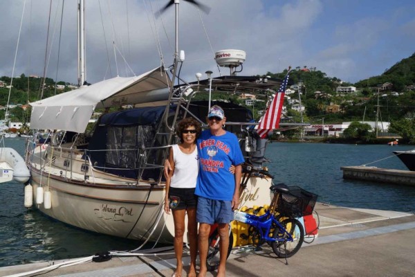
| Vessel Name: | Island Girl |
| Vessel Make/Model: | Island Packet 38 |
| Hailing Port: | Miami Beach, FL |
| Crew: | Dorothy and Bert Dorrestyn |
| About: | |
| Home Page: | https://www.facebook.com/ |
| Social: |
|
Island Girl's Photos - Main
 |
 |
 |
 |
27 Photos
Created 4 June 2023
|
 |
 |
Our 2022 Trip from New Braunfels to Rio Dulce, Guatemala
14 Photos
Created 25 December 2022
|
 |
 |
 |
 |
 |
 |
 |
 |
 |
 |
 |
 |
32 Photos
Created 28 September 2020
|
 |
 |
 |
 |
 |
 |
 |
The building of our new home
34 Photos
Created 12 August 2019
|
 |
 |
 |
35 Photos
Created 25 January 2019
|
 |
 |
 |
 |
 |
 |
 |
 |
 |
 |
 |
 |
Guatemala and Back to Texas in June 2017
37 Photos
Created 18 June 2017
|
 |
 |
 |
 |
Our Visit to Guanaja Honduras
34 Photos
Created 30 April 2017
|
 |
 |
Our visit to Isla San Andres Colombia in March 2017
38 Photos
Created 21 March 2017
|
 |
 |
 |
 |
 |
 |
 |
 |
 |
 |
 |
 |
 |
 |
 |
 |
 |
 |
 |
 |
 |
 |
 |
38 Photos
Created 3 February 2016
|
 |
 |
 |
 |
 |
 |
Our visit to Cartagena des Indias in November 2015
52 Photos
Created 25 November 2015
|
 |
 |
 |
Visit to Bogota October 20 - 23 2015
53 Photos
Created 26 October 2015
|
 |
 |
 |
13 Photos
Created 6 September 2015
|
 |
 |
 |
 |
 |
 |
 |
 |
Leaving Antigua back to Guadeloupe
33 Photos
Created 30 March 2015
|
 |
 |
 |
St. Croix to St. Maarten Simpson Bay
23 Photos
Created 11 January 2015
|
 |
Farewell Bonaire and Hello St. Croix
28 Photos
Created 15 December 2014
|
 |
 |
 |
 |
 |
 |
Sailing South from St Lucia to Grenada
38 Photos
Created 31 May 2014
|
 |
Sailing South from Antigua to St. Lucia
22 Photos
Created 12 May 2014
|
 |
 |
Sailing North from Martinique to Antigua
26 Photos
Created 9 April 2014
|
 |
Sailing North Trinidad to Martinique
11 Photos
Created 2 April 2014
|
 |
Trinidad Land Trip and Haul-out
30 Photos
Created 13 March 2014
|
 |
 |
Trinidad a Lot of Work and Some Fun
39 Photos
Created 19 February 2014
|
 |
 |
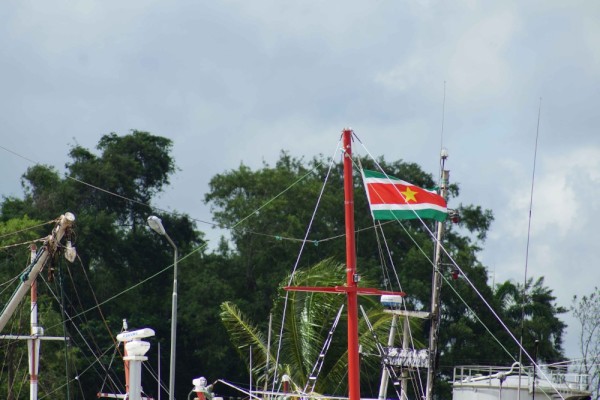
Farewell Suriname – Back to the Caribbean
44 Photos
Created 27 January 2014
|
 |
 |
Suriname - The Re-discovery Continued
34 Photos
Created 24 November 2013
|
 |
Suriname - “A sentimental journey to renew old memories”
34 Photos
Created 2 November 2013
|
 |
Bartica and Georgetown – Guyana
49 Photos
Created 18 October 2013
|
 |
 |
 |
A Roller Coaster Visit to the USA
45 Photos
Created 31 August 2013
|
 |
 |
 |
 |
 |
 |
 |
 |
 |
 |
Nevis, Montserrat, Guadeloupe
43 Photos
Created 22 April 2013
|
 |
 |
 |
 |
 |
British Virgin Islands Continued
37 Photos
Created 15 March 2013
|
 |
 |
 |
St. Thomas US Virgin Islands
26 Photos
Created 21 February 2013
|
 |
 |
 |
 |
Dominican Republic Land Trip
43 Photos
Created 16 January 2013
|
 |
 |
 |
 |
 |
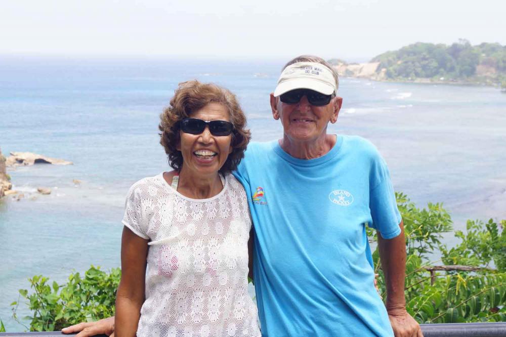
Bert and Dorothy Dorrestyn, The Crew of Island Girl
7 Photos
Created 20 October 2012
|
 |
Dorothy and Bert Sailing the Caribbean
Who: Dorothy and Bert Dorrestyn
Port: Miami Beach, FL