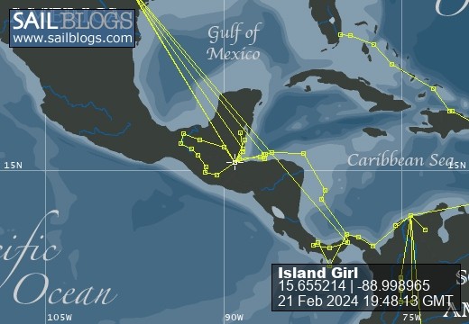
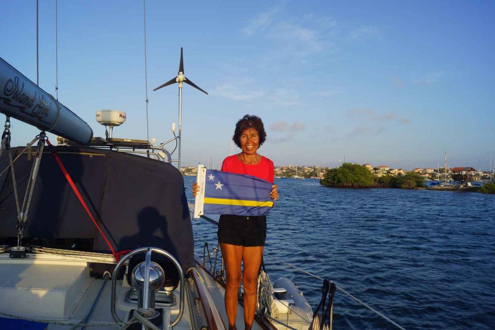
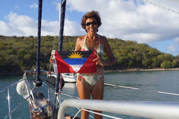
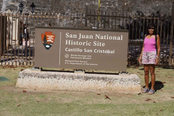
Sailing the Caribbean

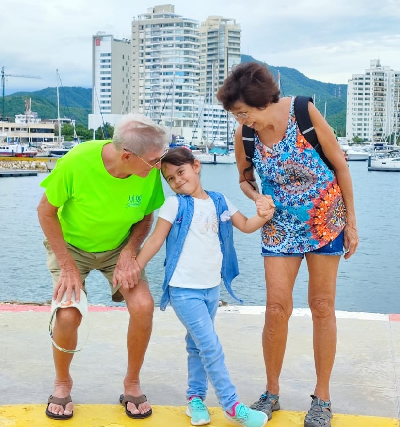
21 February 2024
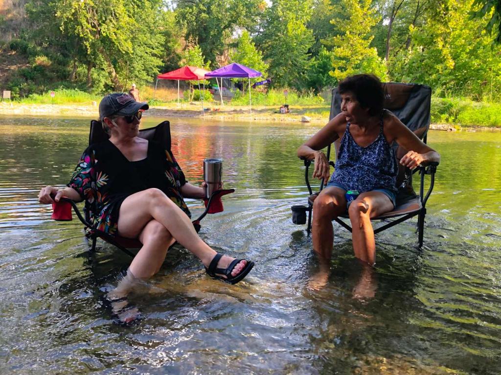
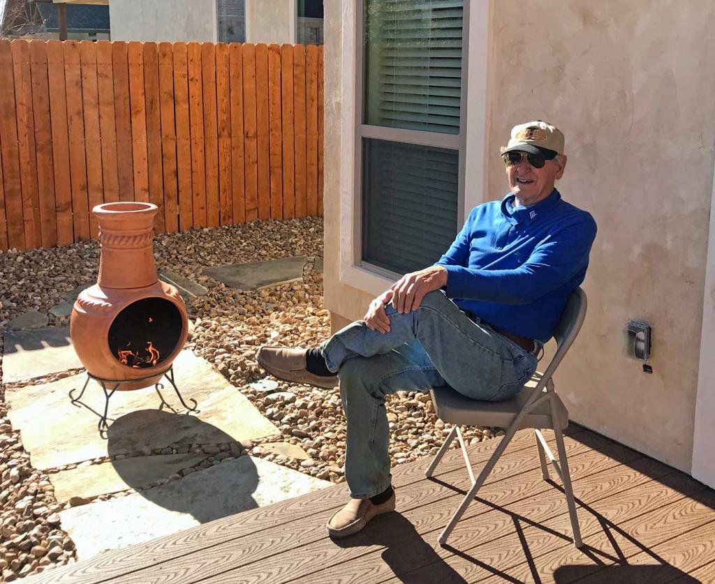
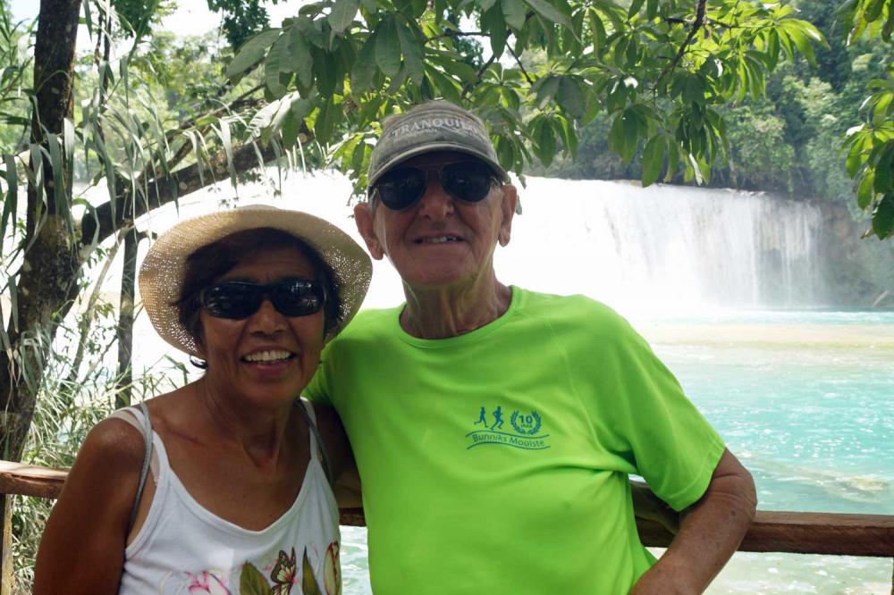
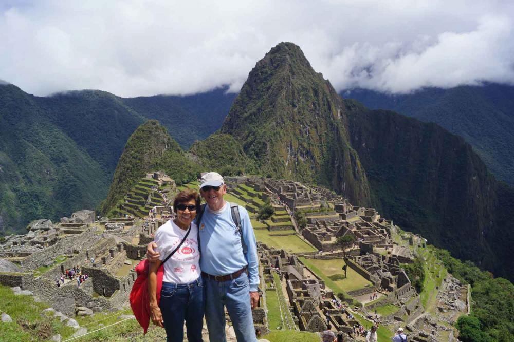
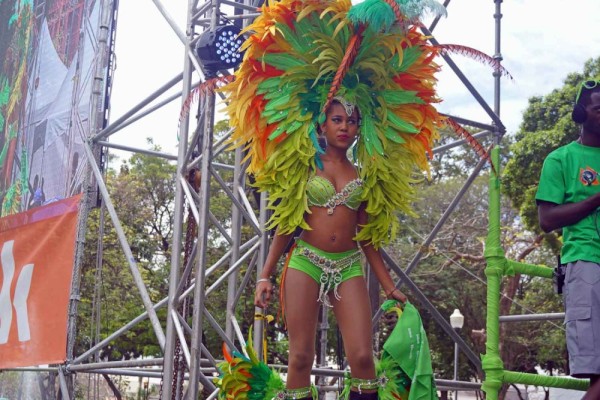
17 November 2023 | New Braunfels Texas
14 August 2023 | New Braunfels
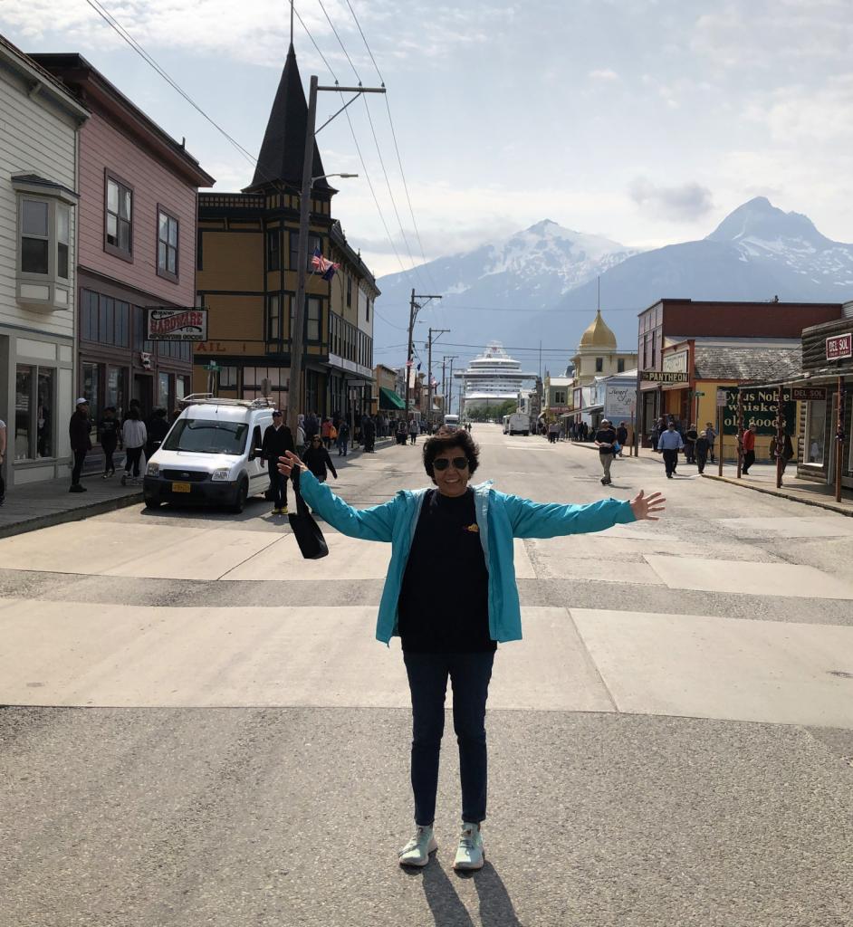
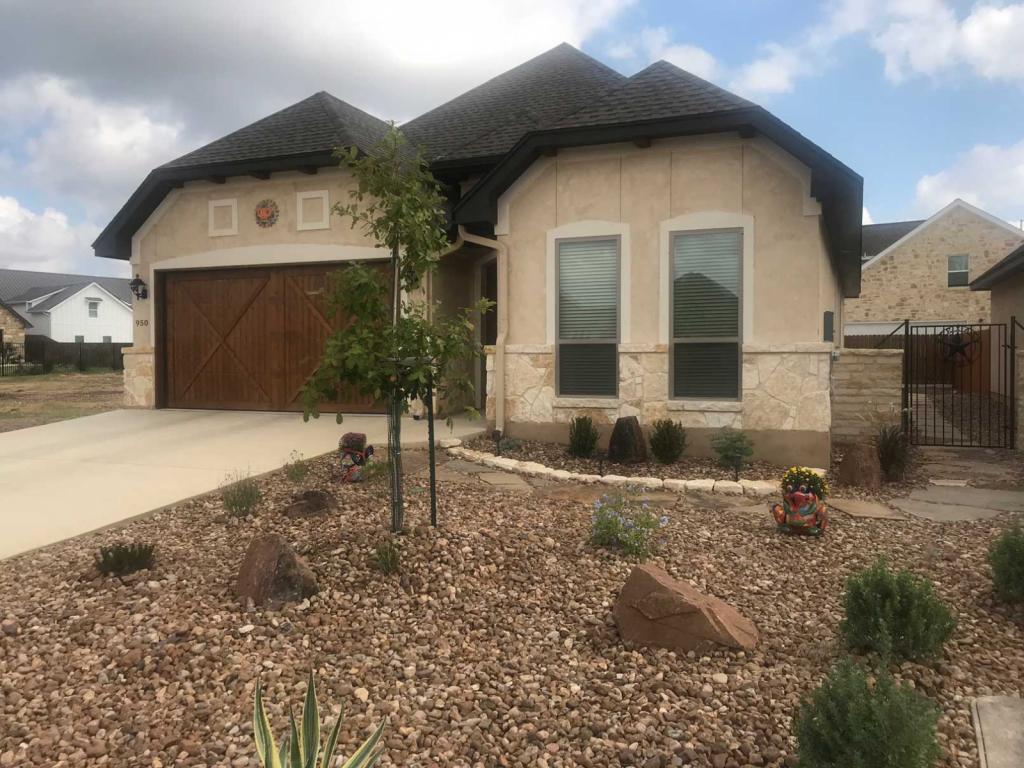
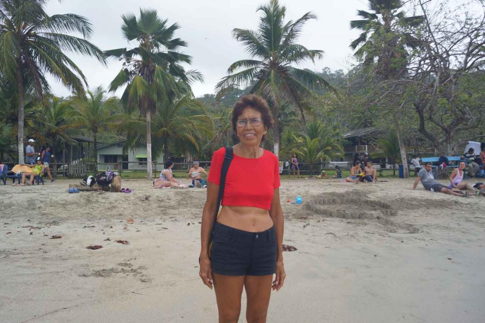
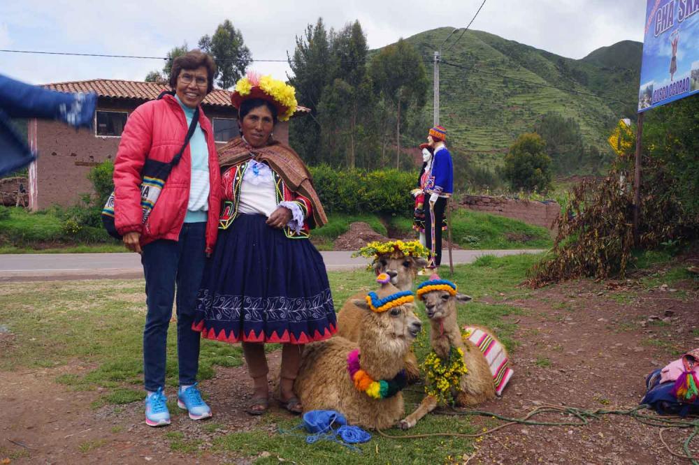
04 June 2023 | New Braunfels Texas
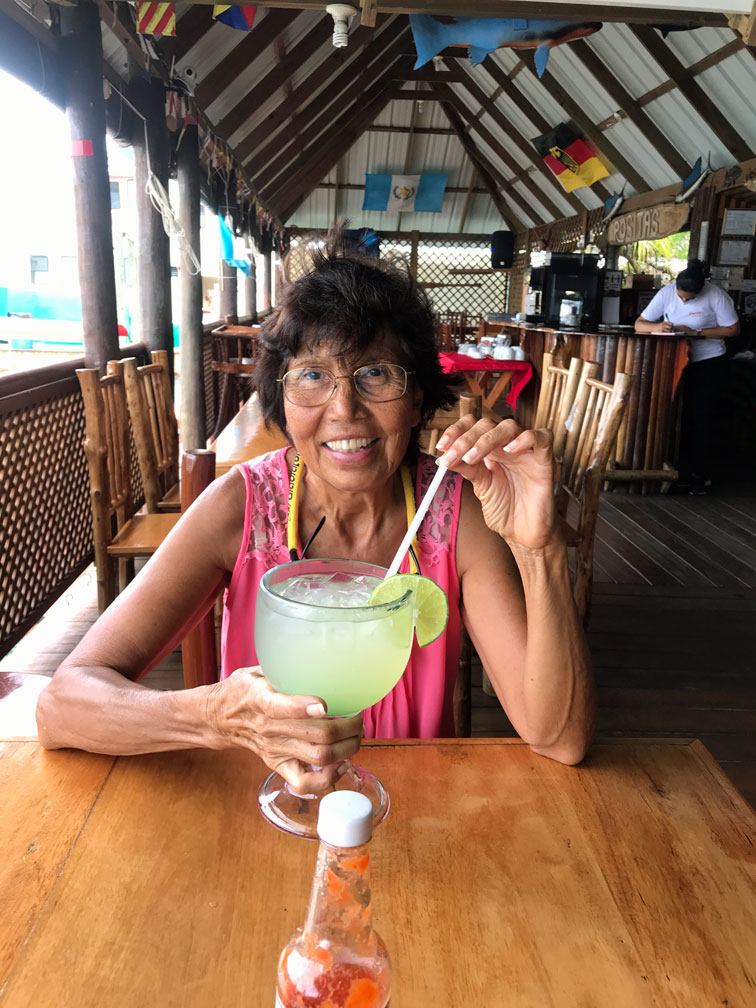
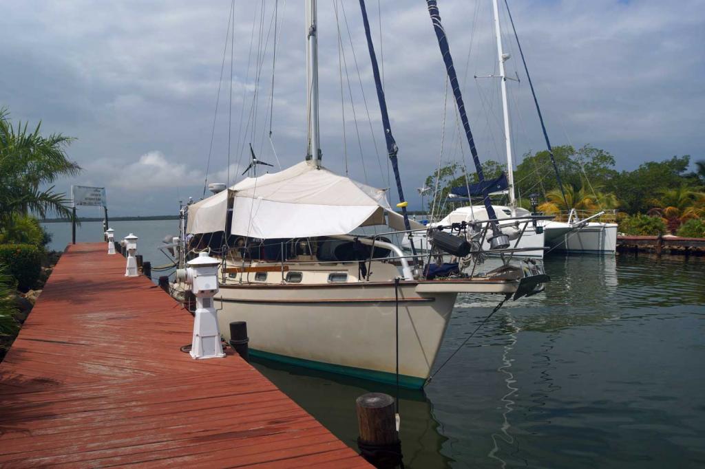
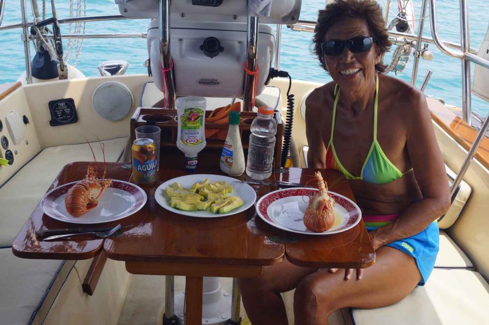
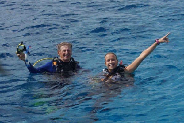
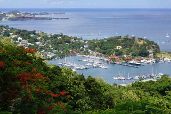
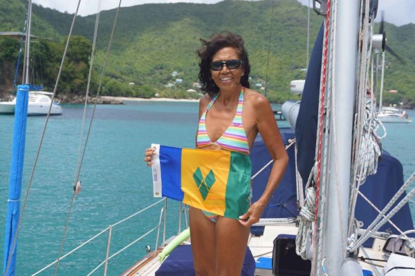
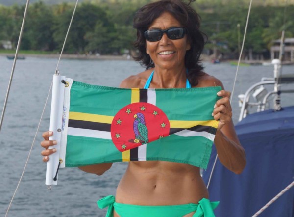
11 February 2023 | Turtle Grass Marina Calablash Bight Roatan Honduras
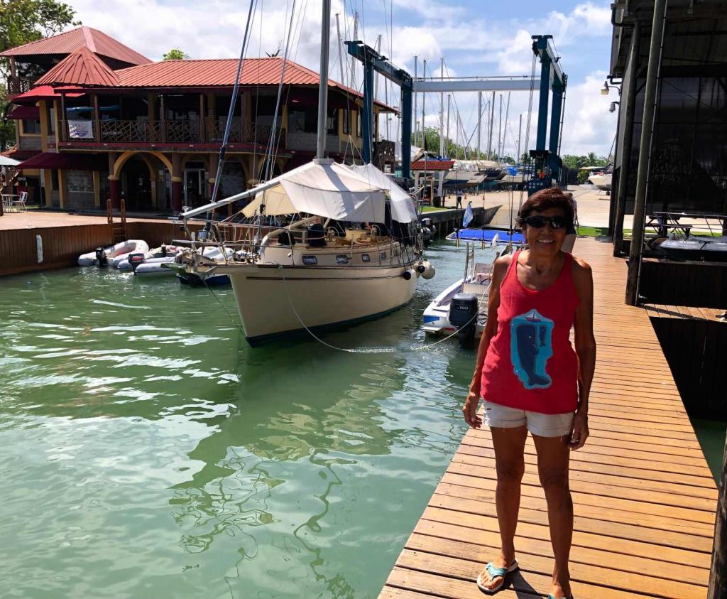
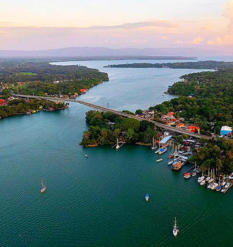
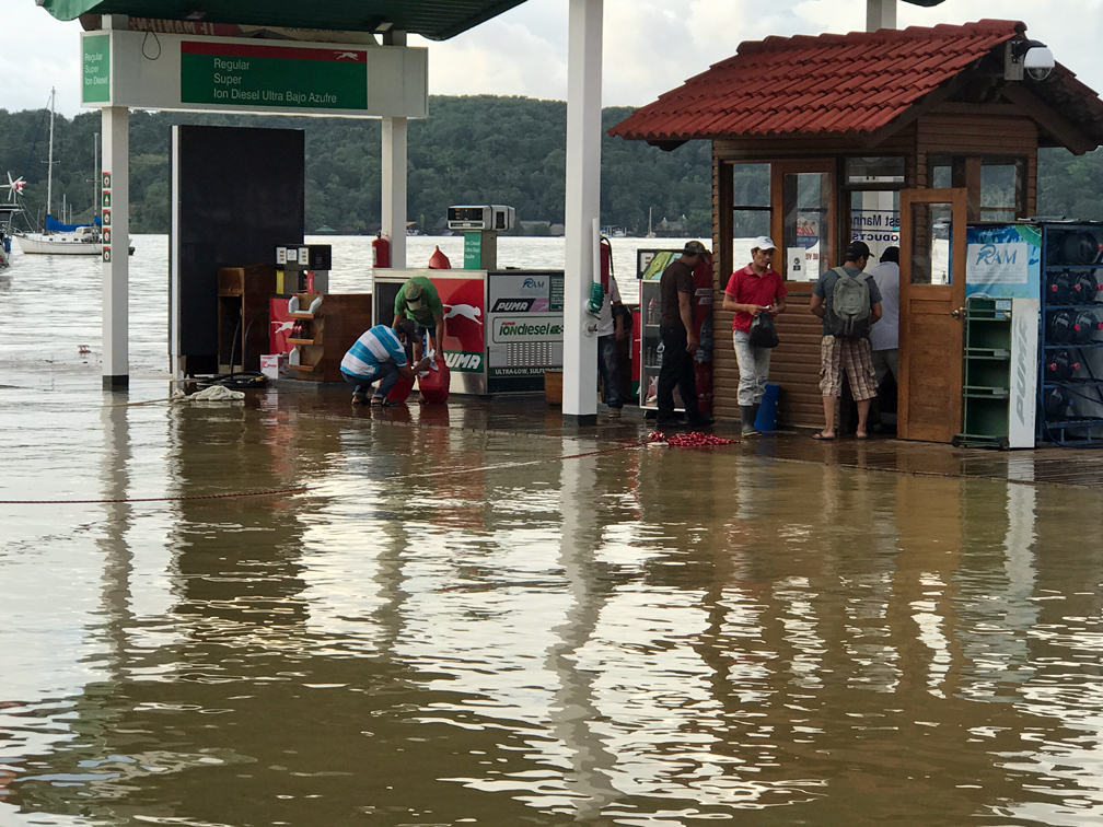
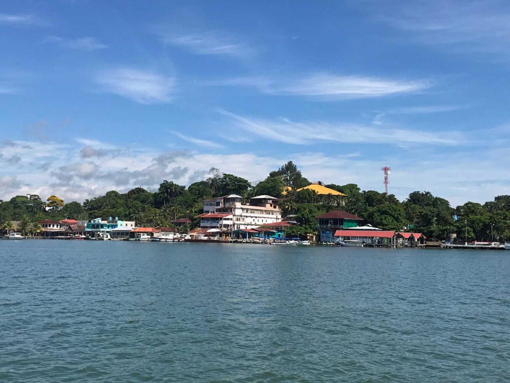
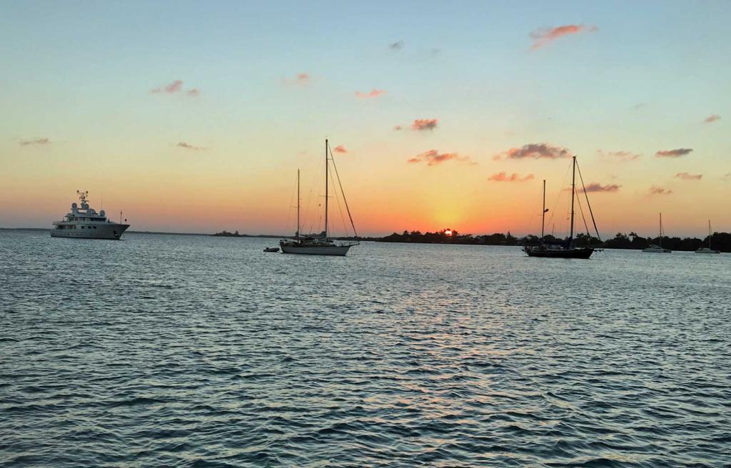
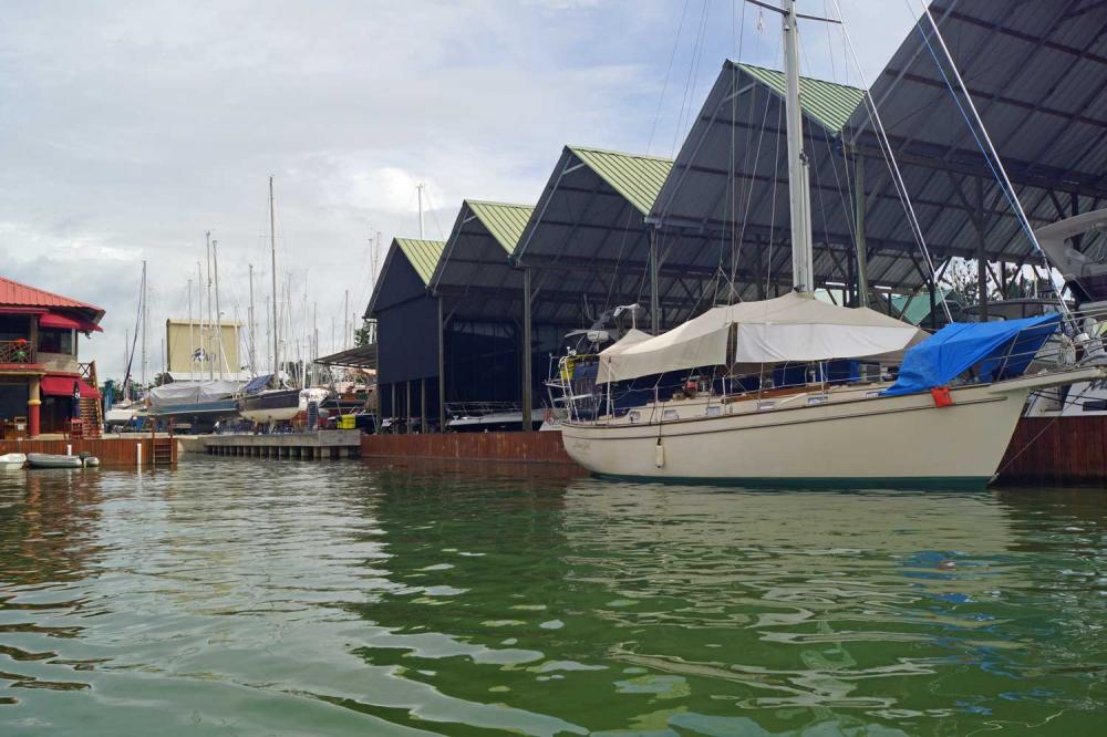
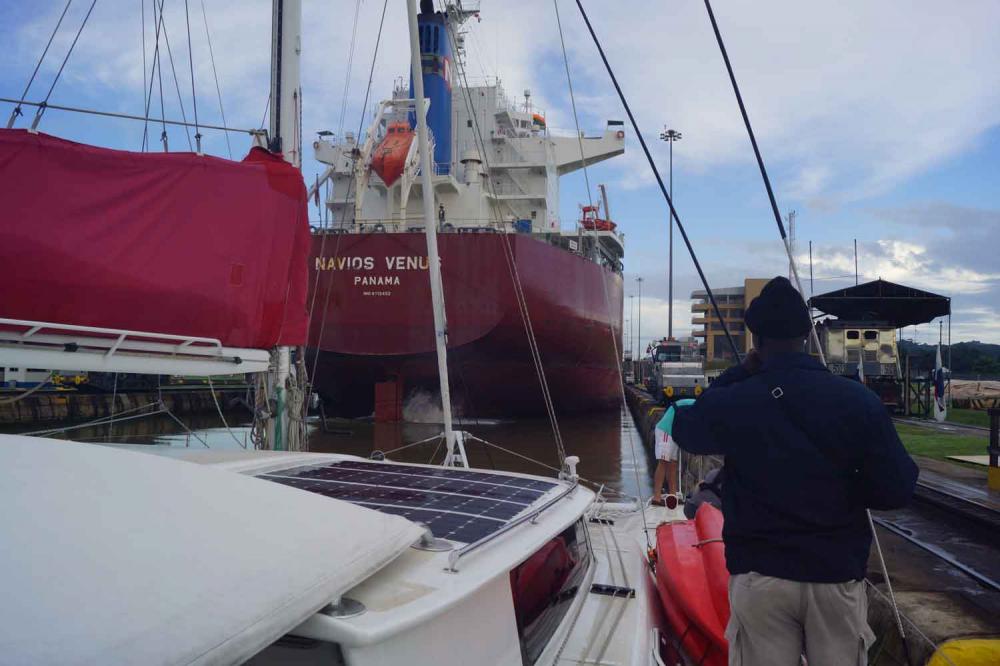
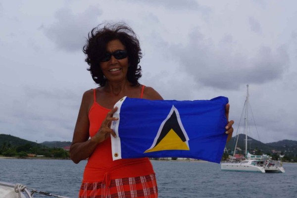
25 December 2022 | RAM Marina Rio Dulce Guatemala
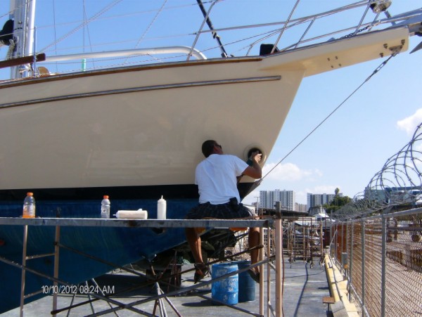
31 October 2022 | New Braunfels, Texas
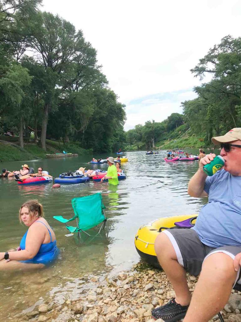
07 August 2022 | Gruene New Braunfels Texas
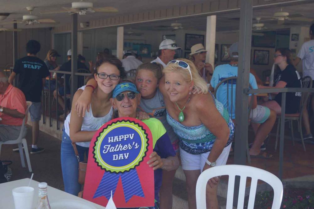
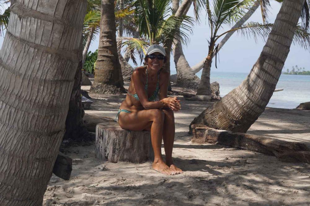
13 June 2022 | Home in New Braunfels
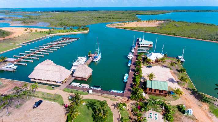
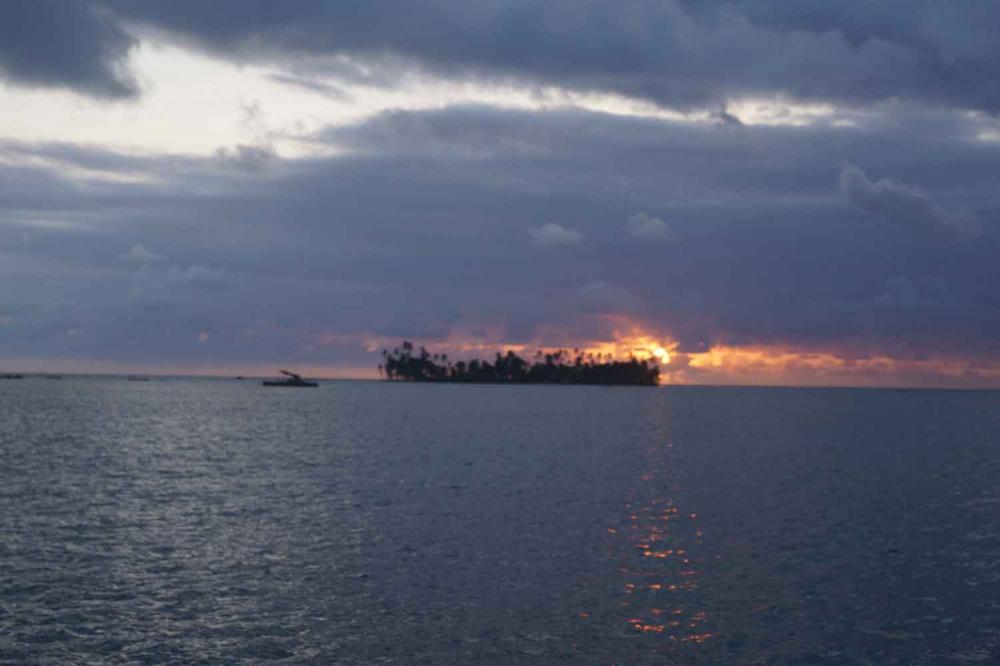
16 April 2022 | The Reserve Marina Sapodilla Lagoon, Beilize
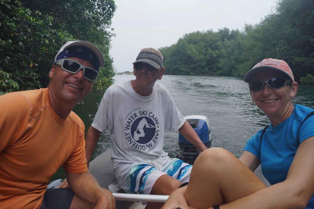
19 February 2022 | RAM Marina Rio Dulce Guatemala
15 December 2021 | RAM Marina Rio Dulce, Guatemala
29 October 2021 | New Braunfels, Texaa
13 August 2021 | New Braunfels, Texas
30 May 2021 | RAM Marina - Rio Dulce Guatemala
17 March 2021 | RAM Marina - Rio Dulce Guatemala
14 December 2020 | RAM Marina - Rio Dulce
28 September 2020 | New Braunfels, Texaa
10 June 2020 | RAM Marina - Rio Dulce
19 May 2020 | The Reserve Marina in Sapodilla Lagoon in Belize
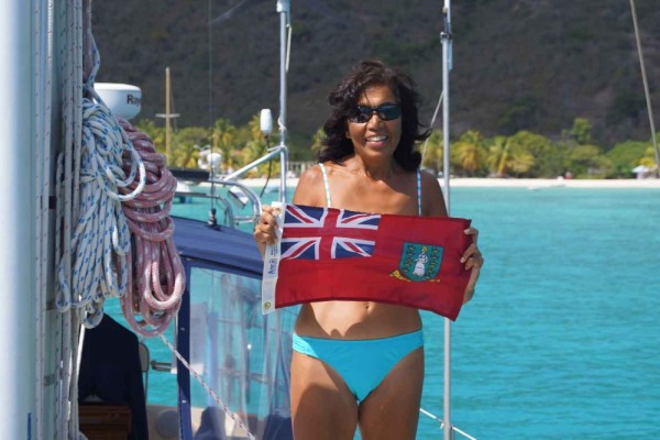
British Virgin Islands Continued
15 March 2013 | Virgin Gorda Yacht Marina
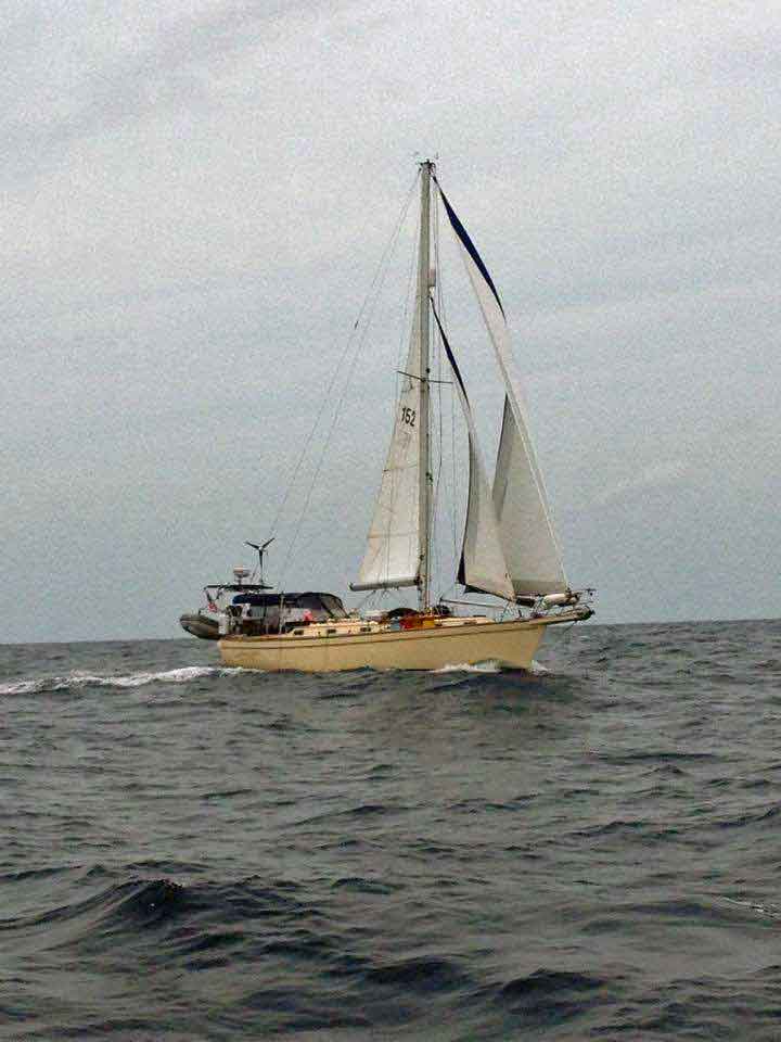
Bert Blue Sky No to Light Wind
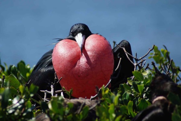
In our last blog we described that we arrived in Norman Island in The Bight and that we did a lot of snorkeling around the caves just south of the bay. In the North Westerly direction of the bay is a rock formation called the Indians and a small island called Pelican Island. This formation is clearly visible because of the unique form of four red rocks. A reef extends between the island and the rocks and provides excellent snorkeling. The National Park Trust placed day time mooring buoys. The formation is exposed to the wind and swells and the best time to visit is in the morning. Since the place is very popular it is important to get a mooring buoy early in the morning. So we arrived at 7:00AM and most of the buoys were already occupied but we found one close to the reef. Close turned out to be something like 40 ft. and it was scary to see the boat so close to the rocks sticking out of the water. The snorkeling was more than excellent and it was the best I have seen. There was still some current so Dorothy used a line from the boat and she also had a great time. After our breakfast we did some motor sailing around Peter Island and Salt Island. Salt Island is famous for the very good diving location on the wreck of the "The Royal Mail Steamer Rhone" that sank on October 29, 1867 during a hurricane. After we returned to Norman Island and we moored in The Bight I became sick and spent the next day feeling quite miserable.
On Monday 03/11/13 we sailed through Sir Francis Drake Channel along Cooper and Ginger Islands to Trellis Bay on Beef Island. Due to a large storm some time ago in the Atlantic large NNE swells came into the British Virgin Islands and worked itself into most of the bays. Even Trellis Bay which is very well protected had a surge. We took the opportunity to rent a car for a day and explore Tortola. The airport is next to the bay and the car rental place is just less than 5 minutes walking. The trip was beautiful and exciting. We drove along the coast and the mountains on very steep roads with the most breathtaking views. The back roads are sometime scary but it was fun. The beaches on the north side of the island all had red warning flags and it was very impressive to see the enormous swells breaking on the reefs, beaches and rocks. At one beach a lot of people were surfing and that was very impressive (see our pictures).
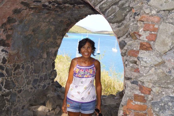
The next day we sailed to Virgin Gorda and planned to spend some time on a day mooring buoy, use the dinghy and swim to The Baths. The Baths are a most unusual formation of enormous granite rocks which were abetted in the lava rocks. Over time the lava was washed away and remaining are these huge rocks. Where the sea washes in between these rocks, large pools have been created where shafts of light play on the water, creating a dramatic effect. There is a trail from The Baths to the south through the rocks and caves to Devils Bay. But again the red flags were out and mooring was not allowed. So we sailed to the Virgin Gorda Yacht Harbour, took a slip and used the next day an open taxi/bus to go to The Baths. We had a great time and were amazed about the rock formations and the white sand beaches in between. The trail to Devils Beach is great and a lot of fun, crawling underneath rocks, wading through water under these huge boulders with the light playing in between them and then arriving on small beaches and finally the Devils Bay Beach.
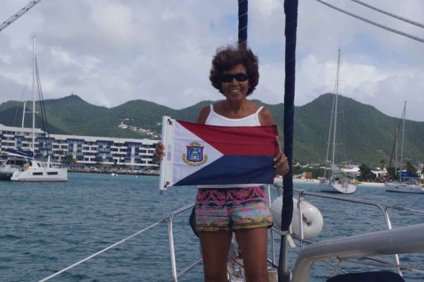
Our plan was to leave today (03/15/13) to Virgin Gorda Sound and spend some time there before leaving to St. Maarten. But we are leaving this afternoon to make the crossing since the weather gives us a great opportunity that will only last for two days before more wind and waves will start on Sunday. So I will return to St. Maarten, St. Eustatius and Saba after spending a year over there in 1977 to do the ground control for the mapping of these islands.
On Monday 03/11/13 we sailed through Sir Francis Drake Channel along Cooper and Ginger Islands to Trellis Bay on Beef Island. Due to a large storm some time ago in the Atlantic large NNE swells came into the British Virgin Islands and worked itself into most of the bays. Even Trellis Bay which is very well protected had a surge. We took the opportunity to rent a car for a day and explore Tortola. The airport is next to the bay and the car rental place is just less than 5 minutes walking. The trip was beautiful and exciting. We drove along the coast and the mountains on very steep roads with the most breathtaking views. The back roads are sometime scary but it was fun. The beaches on the north side of the island all had red warning flags and it was very impressive to see the enormous swells breaking on the reefs, beaches and rocks. At one beach a lot of people were surfing and that was very impressive (see our pictures).
The next day we sailed to Virgin Gorda and planned to spend some time on a day mooring buoy, use the dinghy and swim to The Baths. The Baths are a most unusual formation of enormous granite rocks which were abetted in the lava rocks. Over time the lava was washed away and remaining are these huge rocks. Where the sea washes in between these rocks, large pools have been created where shafts of light play on the water, creating a dramatic effect. There is a trail from The Baths to the south through the rocks and caves to Devils Bay. But again the red flags were out and mooring was not allowed. So we sailed to the Virgin Gorda Yacht Harbour, took a slip and used the next day an open taxi/bus to go to The Baths. We had a great time and were amazed about the rock formations and the white sand beaches in between. The trail to Devils Beach is great and a lot of fun, crawling underneath rocks, wading through water under these huge boulders with the light playing in between them and then arriving on small beaches and finally the Devils Bay Beach.
Our plan was to leave today (03/15/13) to Virgin Gorda Sound and spend some time there before leaving to St. Maarten. But we are leaving this afternoon to make the crossing since the weather gives us a great opportunity that will only last for two days before more wind and waves will start on Sunday. So I will return to St. Maarten, St. Eustatius and Saba after spending a year over there in 1977 to do the ground control for the mapping of these islands.
Comments
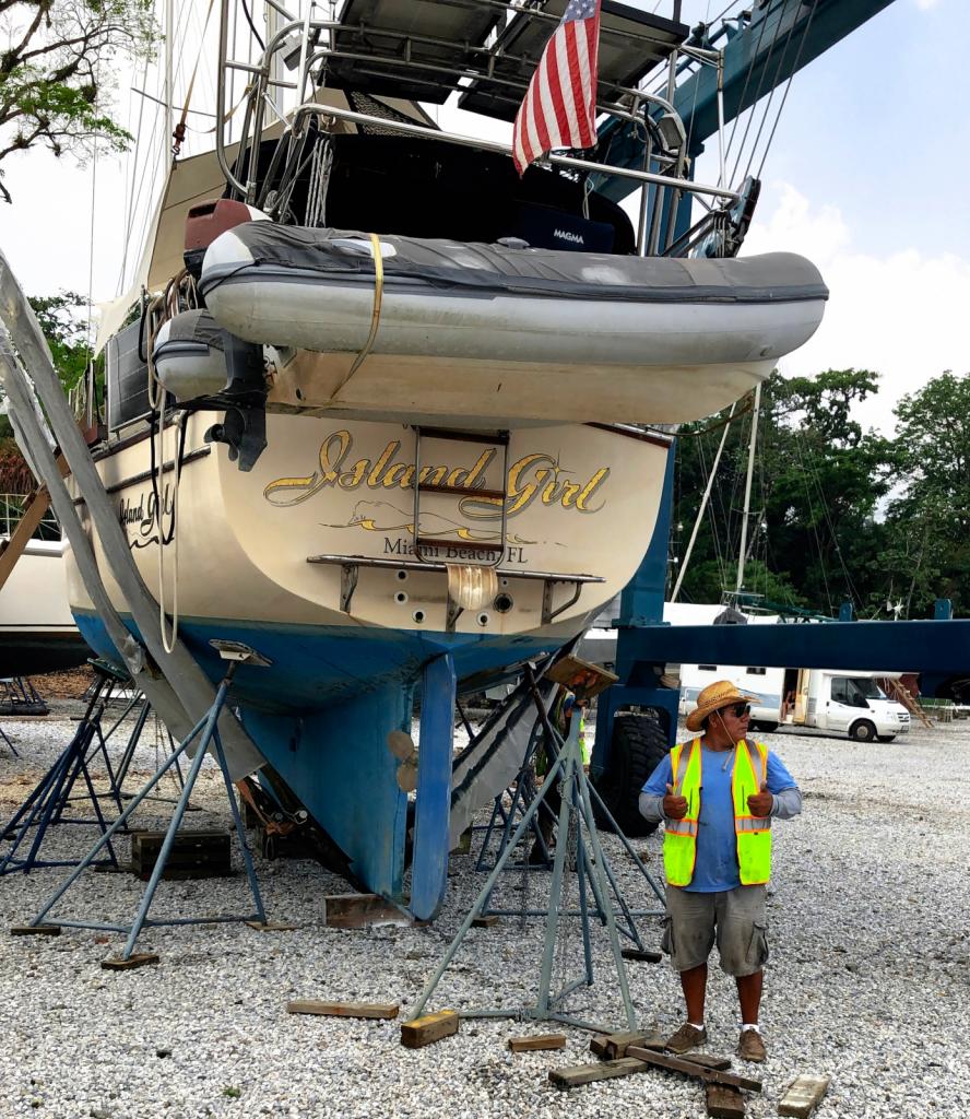
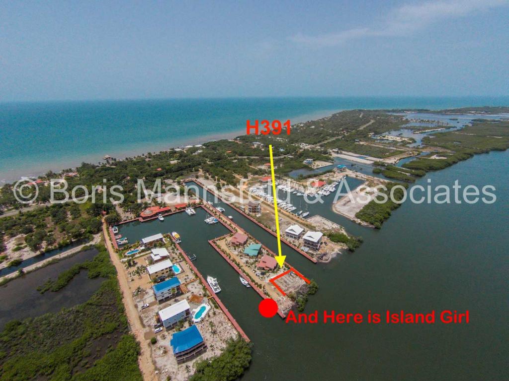
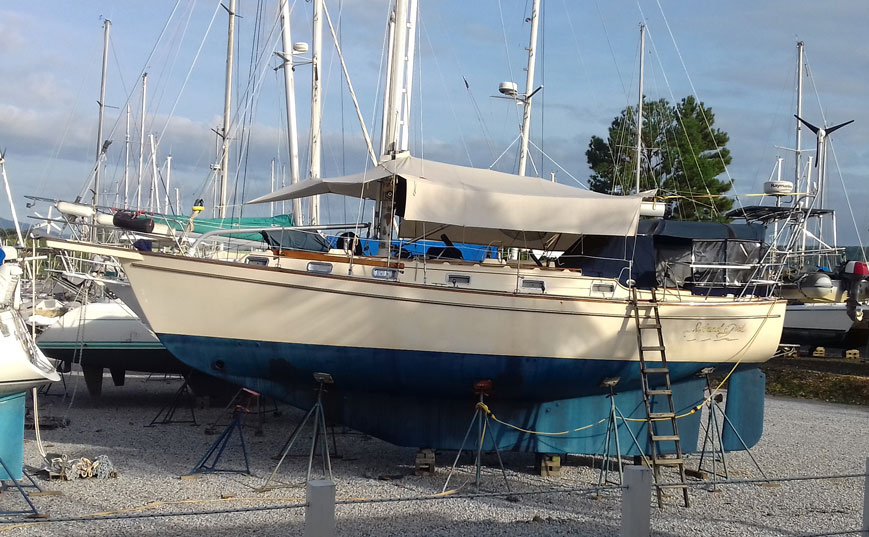
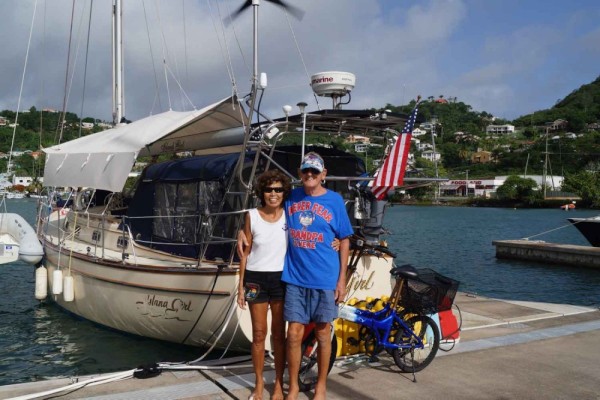
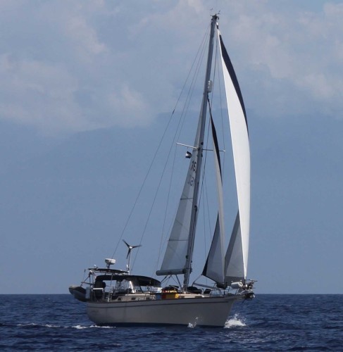
| Vessel Name: | Island Girl |
| Vessel Make/Model: | Island Packet 38 |
| Hailing Port: | Miami Beach, FL |
| Crew: | Dorothy and Bert Dorrestyn |
| About: | |
| Home Page: | https://www.facebook.com/ |
| Social: |
|
Island Girl's Photos - Main
 |
 |
 |
 |
27 Photos
Created 4 June 2023
|
 |
 |
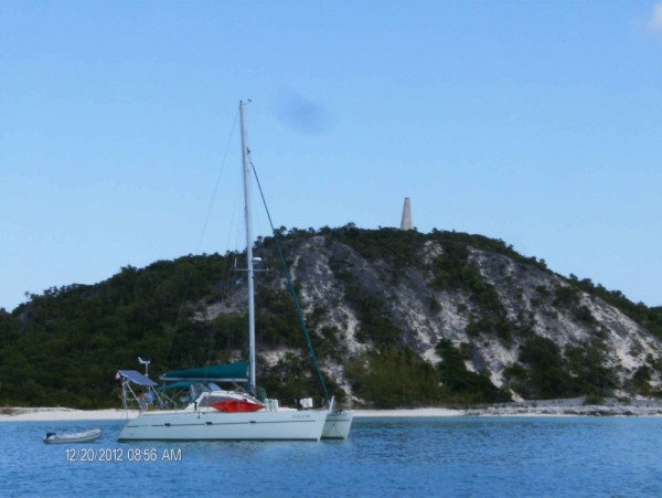
Our 2022 Trip from New Braunfels to Rio Dulce, Guatemala
14 Photos
Created 25 December 2022
|
 |
 |
 |
 |
 |
 |
 |
 |
 |
 |
 |
 |
32 Photos
Created 28 September 2020
|
 |
 |
 |
 |
 |
 |
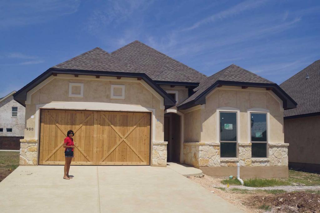 |
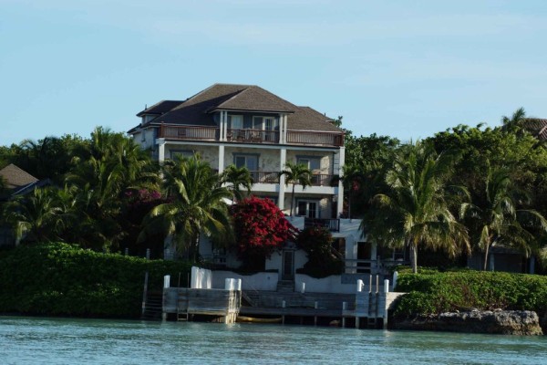
The building of our new home
34 Photos
Created 12 August 2019
|
 |
 |
 |
35 Photos
Created 25 January 2019
|
 |
 |
 |
 |
 |
 |
 |
 |
 |
 |
 |
 |
Guatemala and Back to Texas in June 2017
37 Photos
Created 18 June 2017
|
 |
 |
 |
 |
Our Visit to Guanaja Honduras
34 Photos
Created 30 April 2017
|
 |
 |
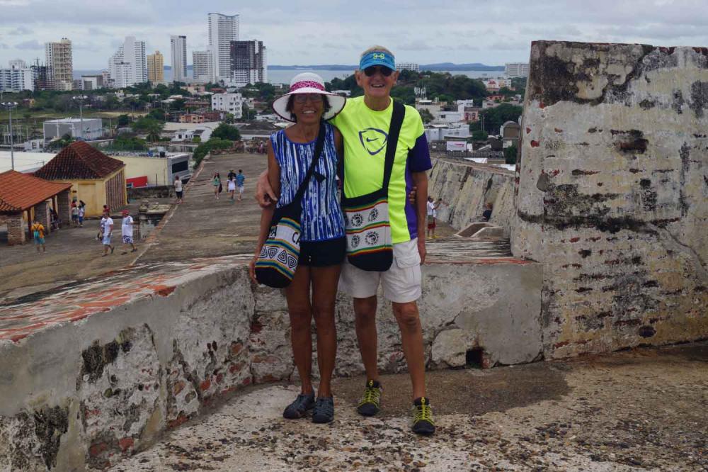
Our visit to Isla San Andres Colombia in March 2017
38 Photos
Created 21 March 2017
|
 |
 |
 |
 |
 |
 |
 |
 |
 |
 |
 |
 |
 |
 |
 |
 |
 |
 |
 |
 |
 |
 |
 |
38 Photos
Created 3 February 2016
|
 |
 |
 |
 |
 |
 |
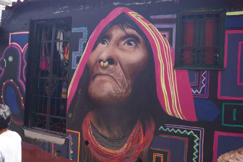
Our visit to Cartagena des Indias in November 2015
52 Photos
Created 25 November 2015
|
 |
 |
 |
Visit to Bogota October 20 - 23 2015
53 Photos
Created 26 October 2015
|
 |
 |
 |
13 Photos
Created 6 September 2015
|
 |
 |
 |
 |
 |
 |
 |
 |
Leaving Antigua back to Guadeloupe
33 Photos
Created 30 March 2015
|
 |
 |
 |
St. Croix to St. Maarten Simpson Bay
23 Photos
Created 11 January 2015
|
 |
Farewell Bonaire and Hello St. Croix
28 Photos
Created 15 December 2014
|
 |
 |
 |
 |
 |
 |
Sailing South from St Lucia to Grenada
38 Photos
Created 31 May 2014
|
 |
Sailing South from Antigua to St. Lucia
22 Photos
Created 12 May 2014
|
 |
 |
Sailing North from Martinique to Antigua
26 Photos
Created 9 April 2014
|
 |
Sailing North Trinidad to Martinique
11 Photos
Created 2 April 2014
|
 |
Trinidad Land Trip and Haul-out
30 Photos
Created 13 March 2014
|
 |
 |
Trinidad a Lot of Work and Some Fun
39 Photos
Created 19 February 2014
|
 |
 |
Farewell Suriname – Back to the Caribbean
44 Photos
Created 27 January 2014
|
 |
 |
Suriname - The Re-discovery Continued
34 Photos
Created 24 November 2013
|
 |
Suriname - “A sentimental journey to renew old memories”
34 Photos
Created 2 November 2013
|
 |
Bartica and Georgetown – Guyana
49 Photos
Created 18 October 2013
|
 |
 |
 |
A Roller Coaster Visit to the USA
45 Photos
Created 31 August 2013
|
 |
 |
 |
 |
 |
 |
 |
 |
 |
 |
Nevis, Montserrat, Guadeloupe
43 Photos
Created 22 April 2013
|
 |
 |
 |
 |
 |
British Virgin Islands Continued
37 Photos
Created 15 March 2013
|
 |
 |
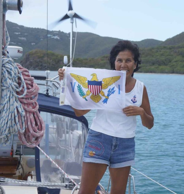 |
St. Thomas US Virgin Islands
26 Photos
Created 21 February 2013
|
 |
 |
 |
 |
Dominican Republic Land Trip
43 Photos
Created 16 January 2013
|
 |
 |
 |
 |
 |
Bert and Dorothy Dorrestyn, The Crew of Island Girl
7 Photos
Created 20 October 2012
|
 |
Dorothy and Bert Sailing the Caribbean
Who: Dorothy and Bert Dorrestyn
Port: Miami Beach, FL