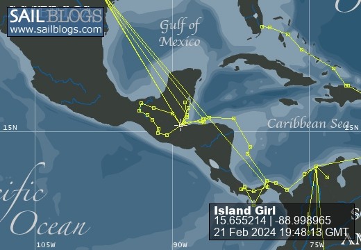
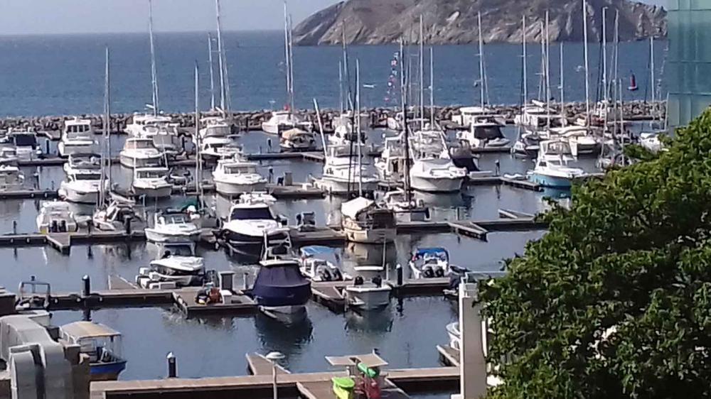
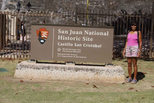
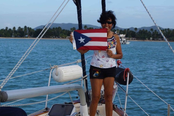
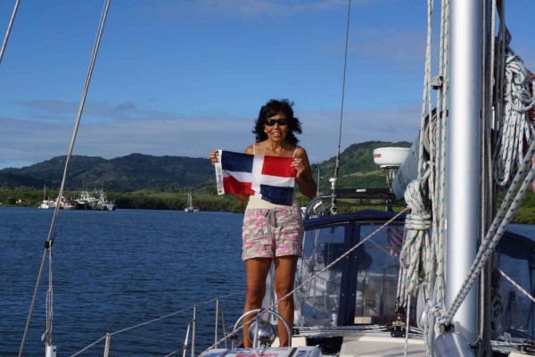
Sailing the Caribbean

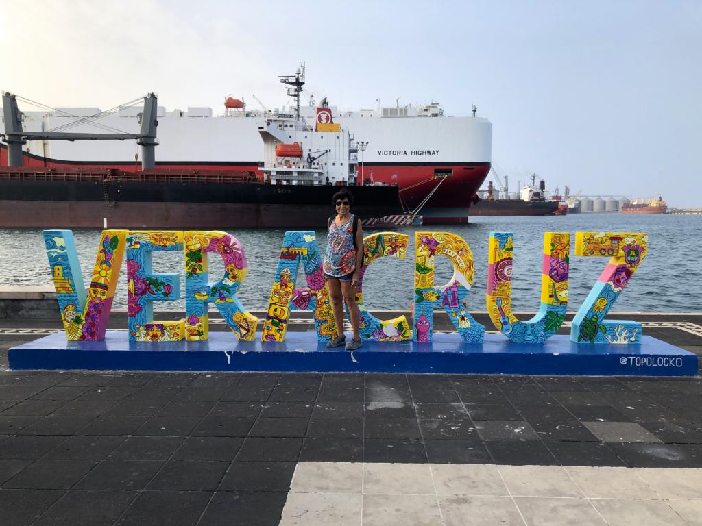
21 February 2024
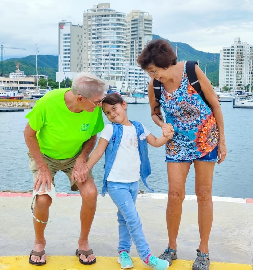
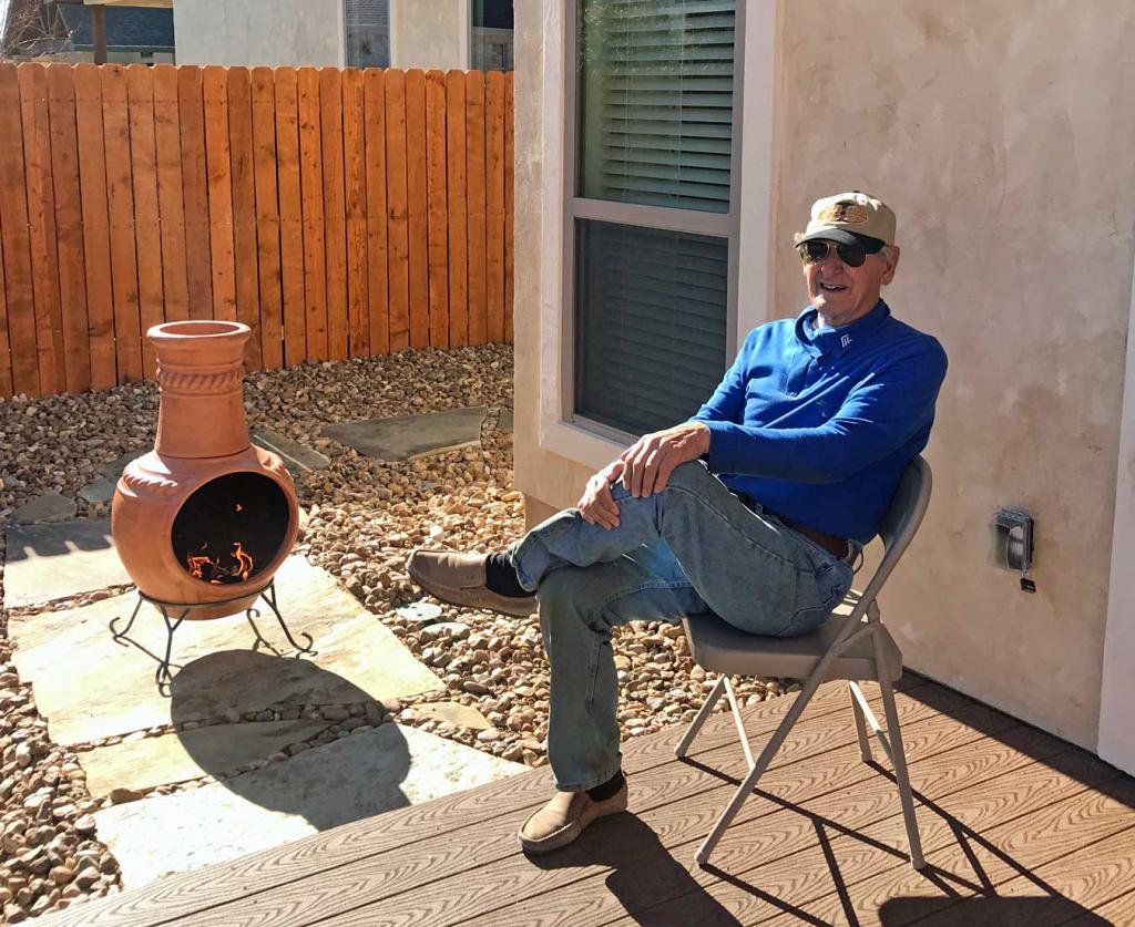
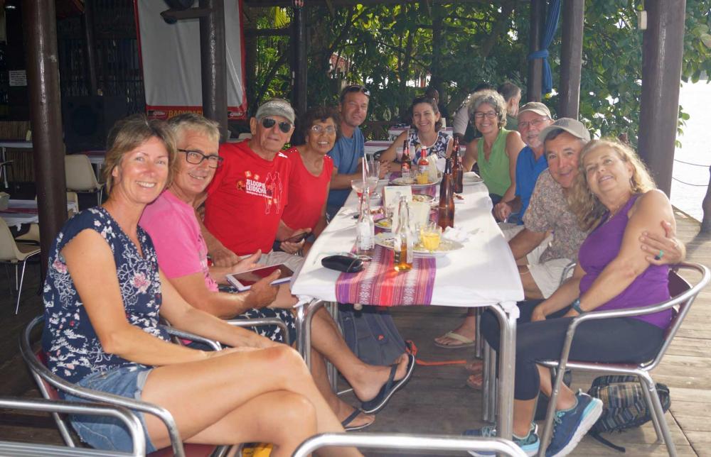
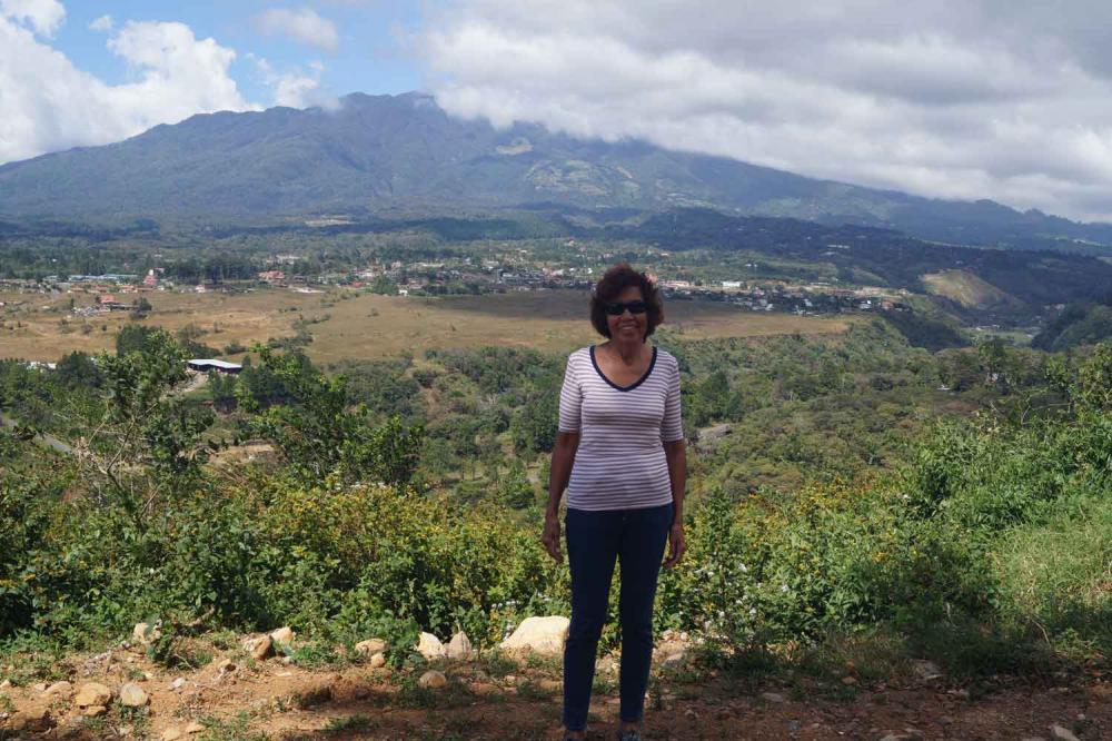
17 November 2023 | New Braunfels Texas
14 August 2023 | New Braunfels
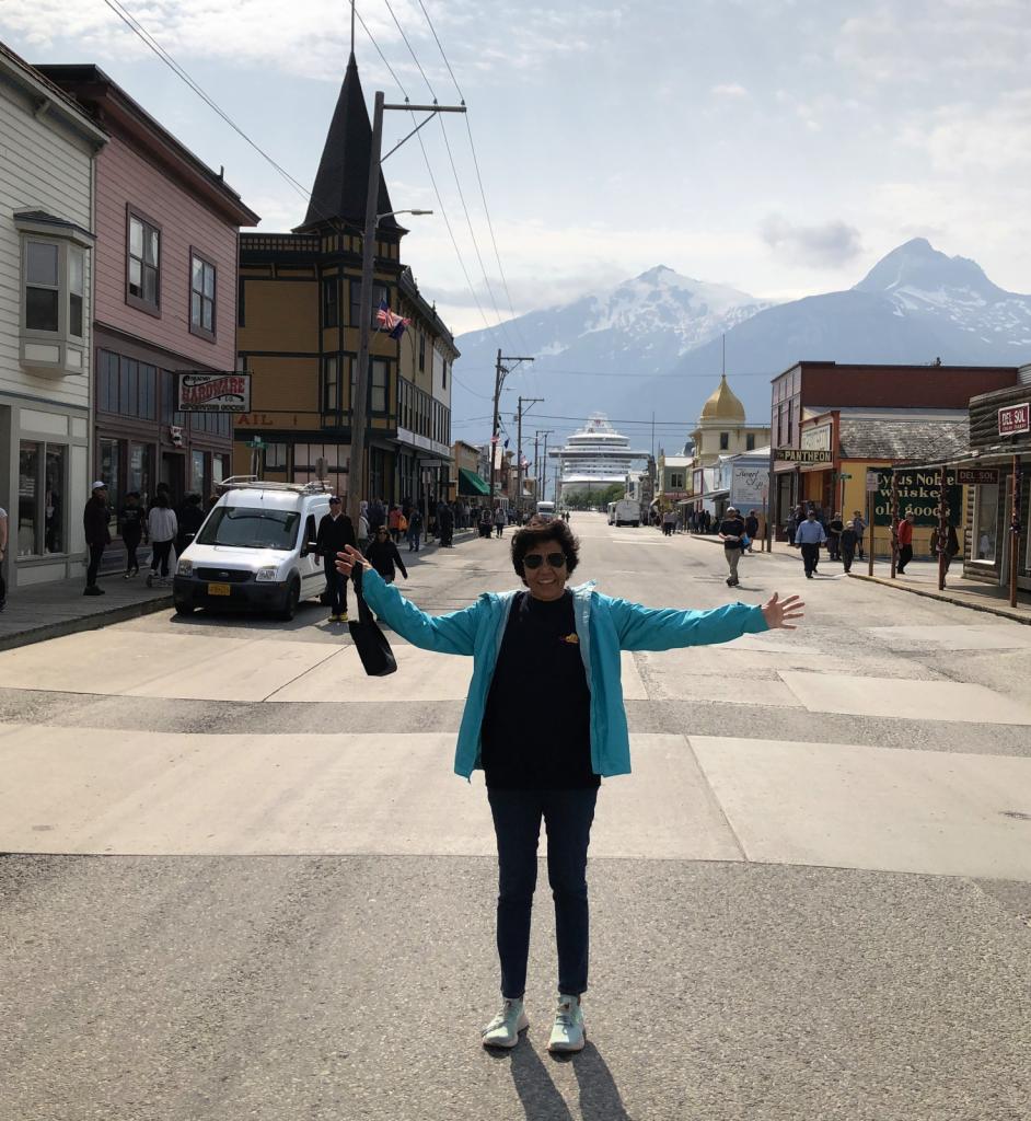
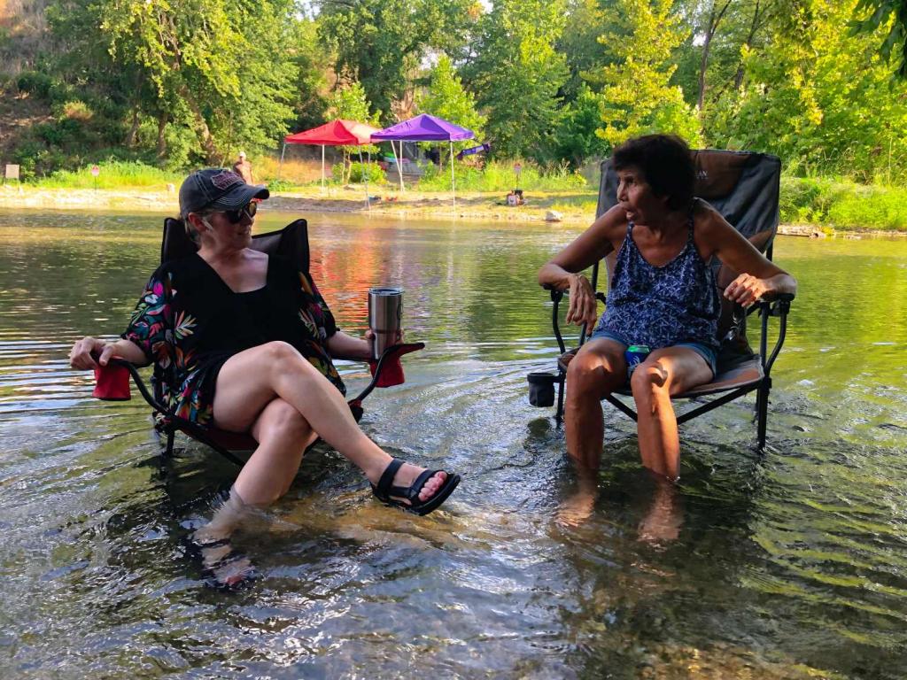
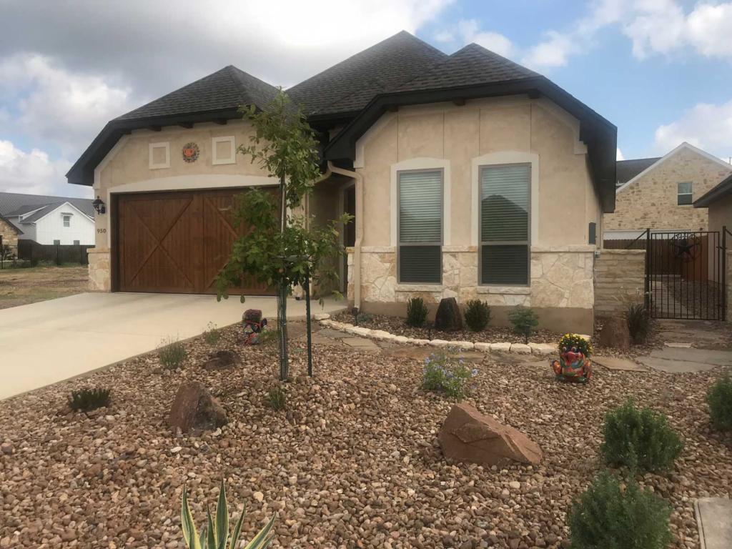
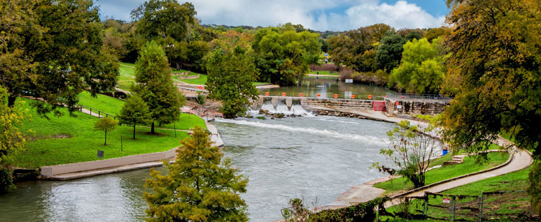
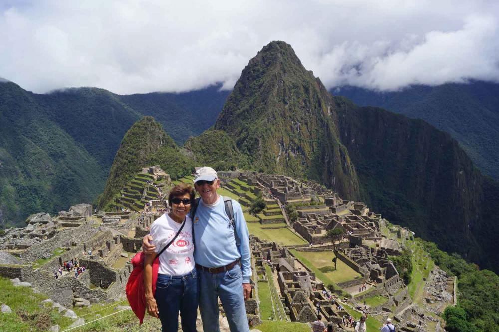
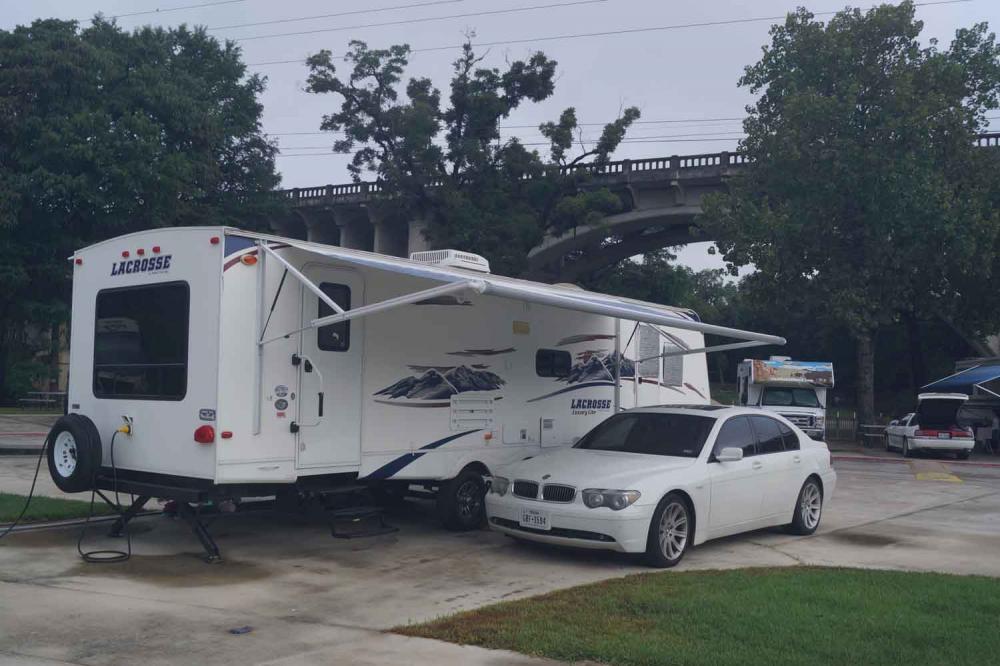
04 June 2023 | New Braunfels Texas
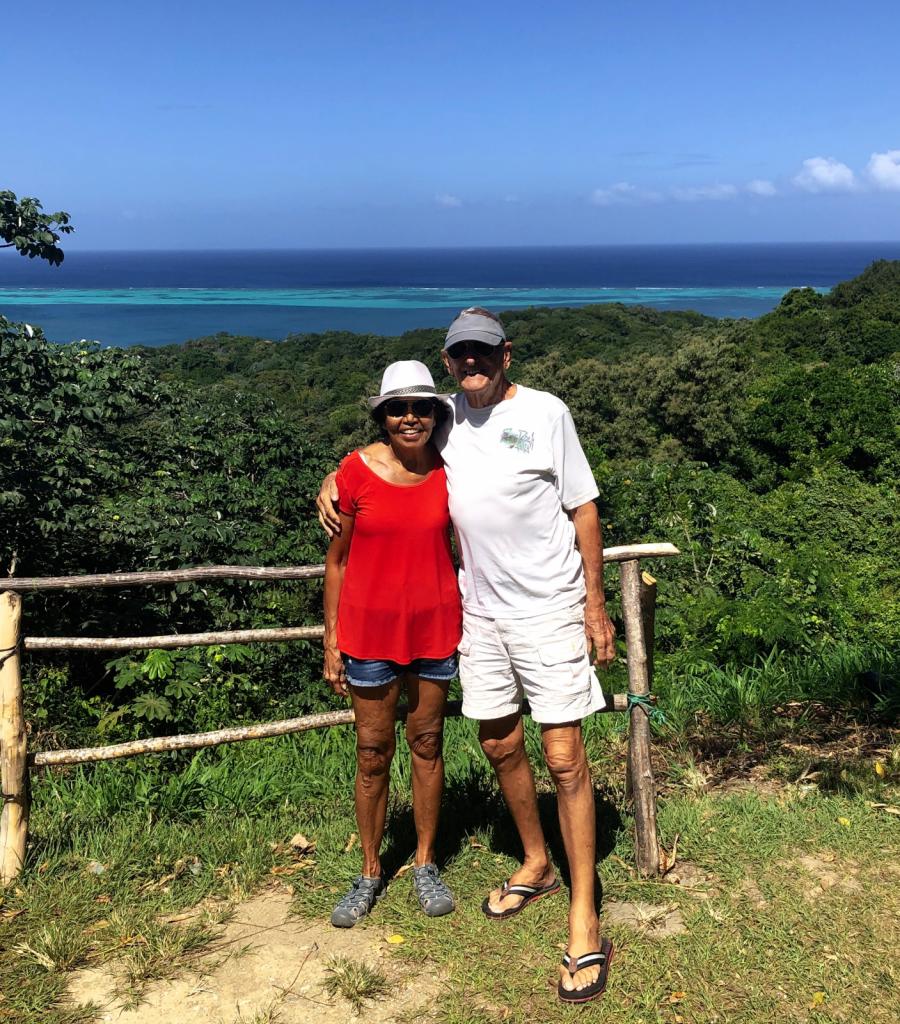
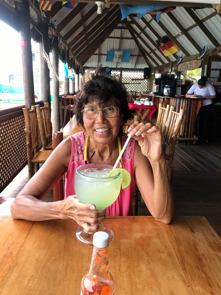
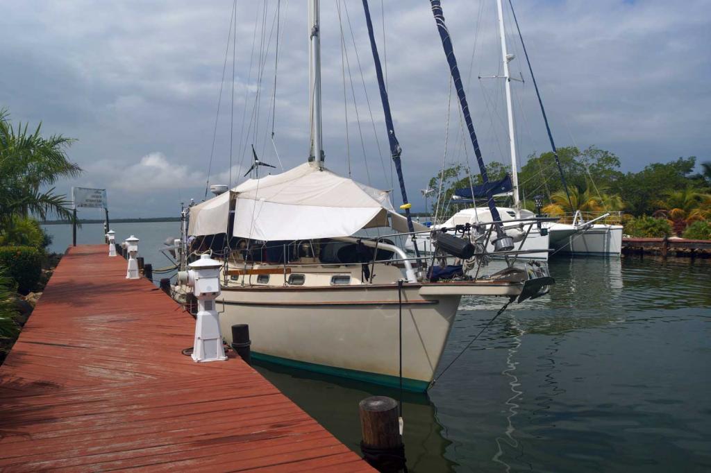
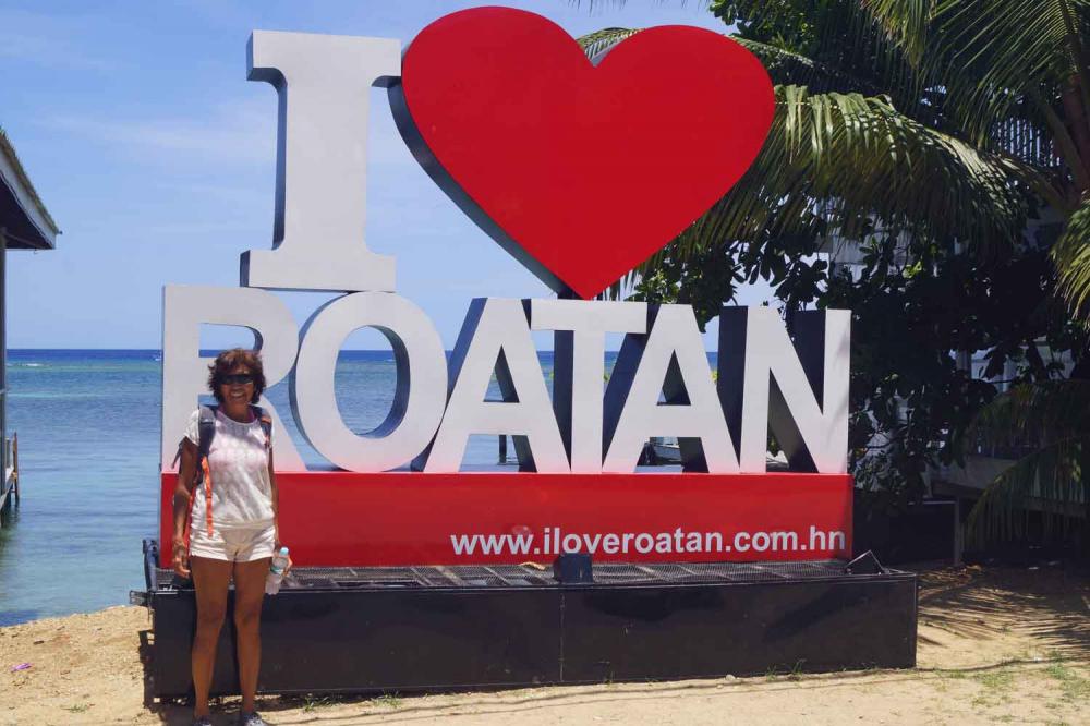
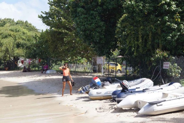
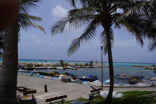
11 February 2023 | Turtle Grass Marina Calablash Bight Roatan Honduras
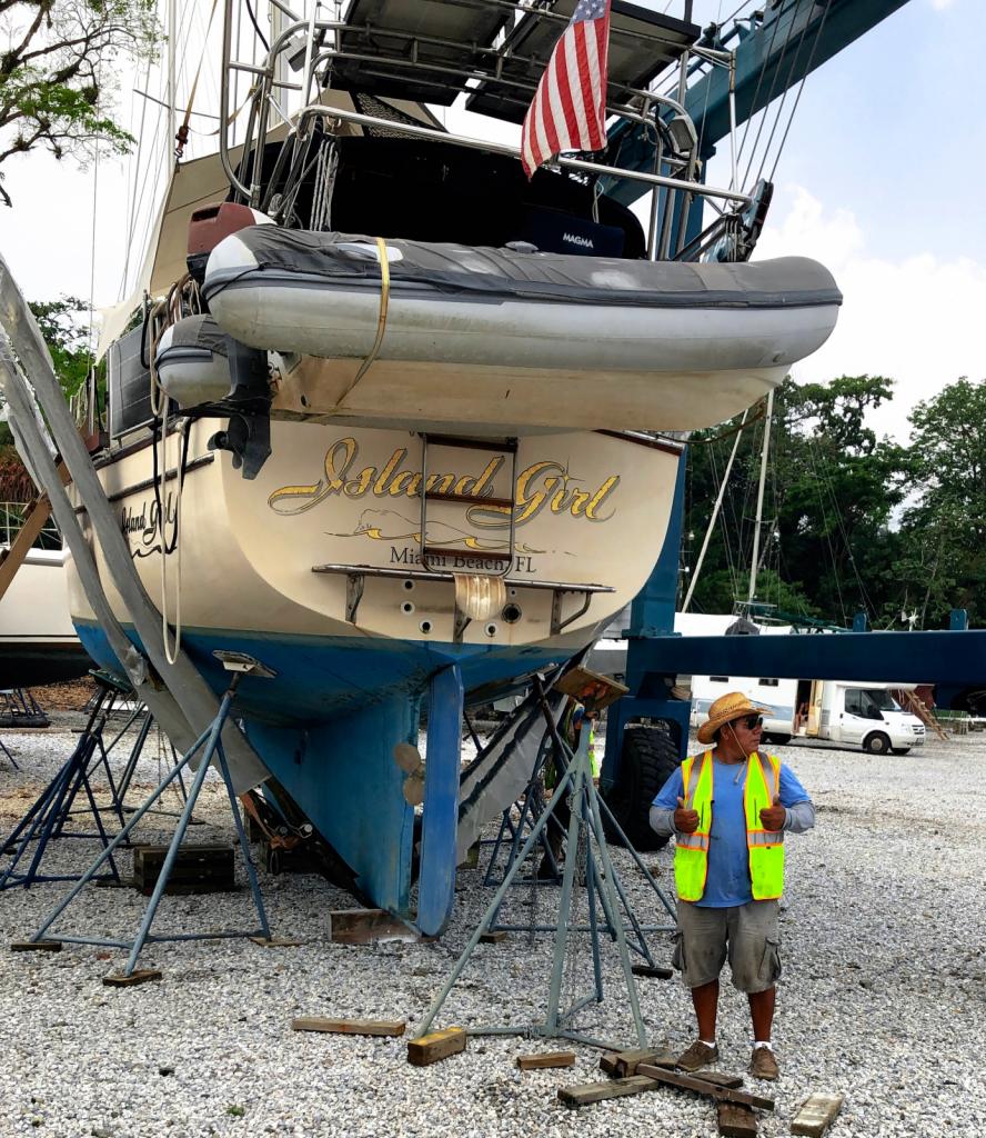
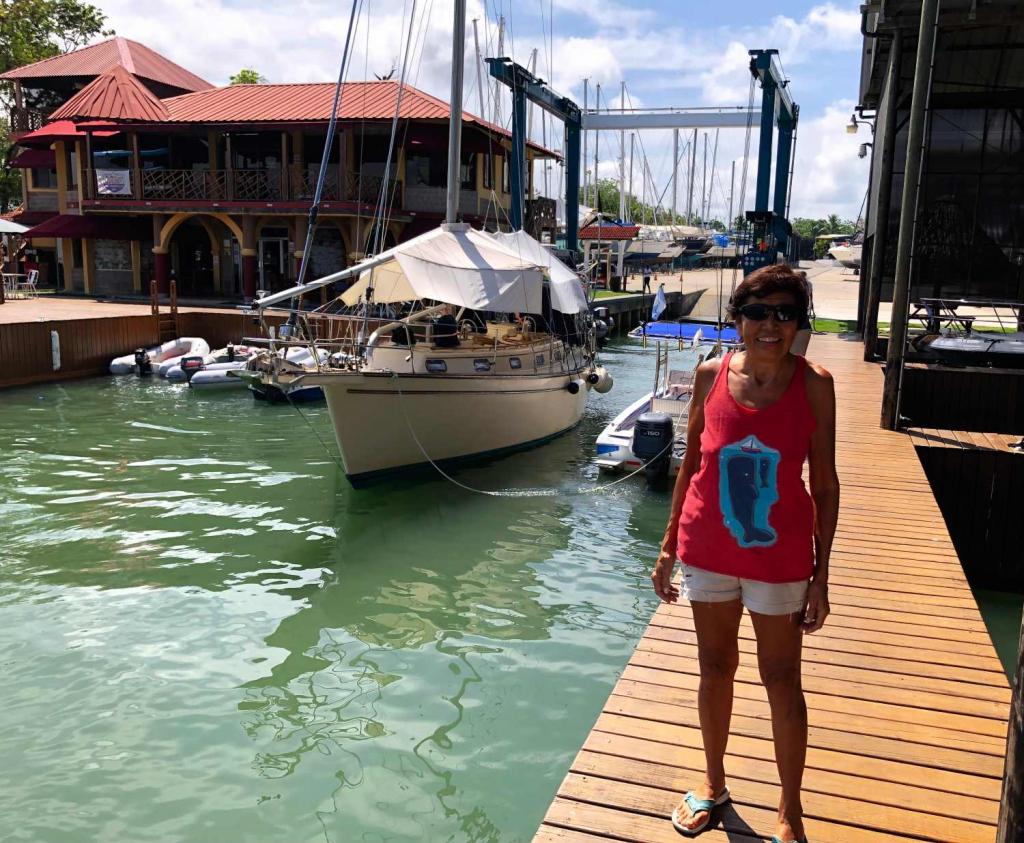
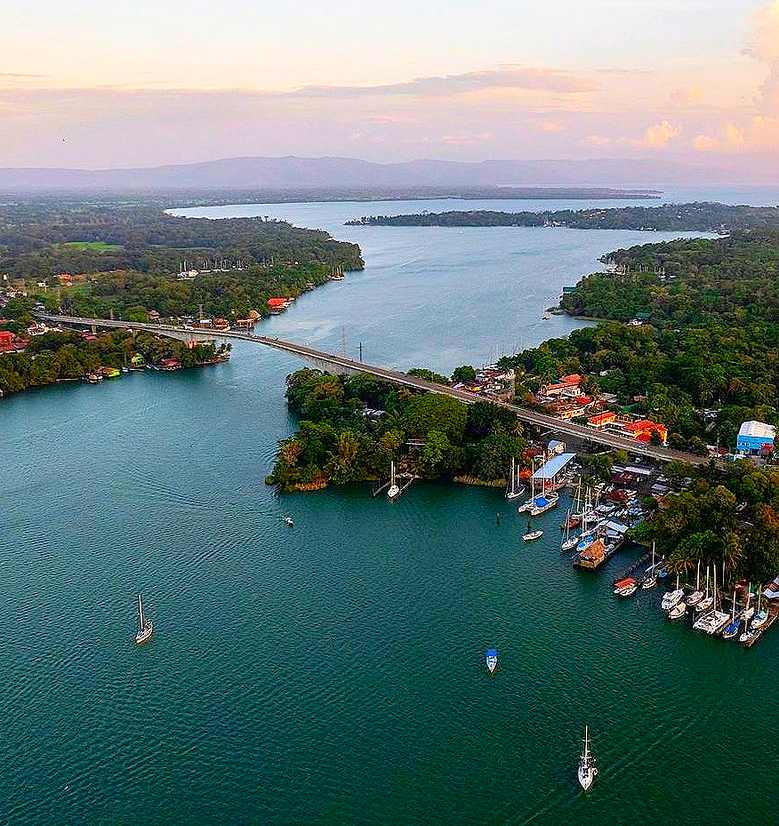
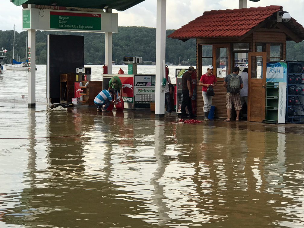
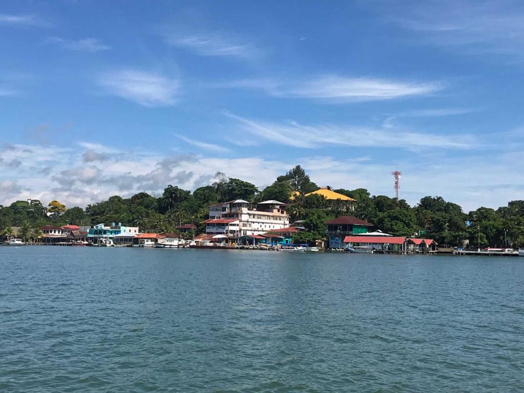
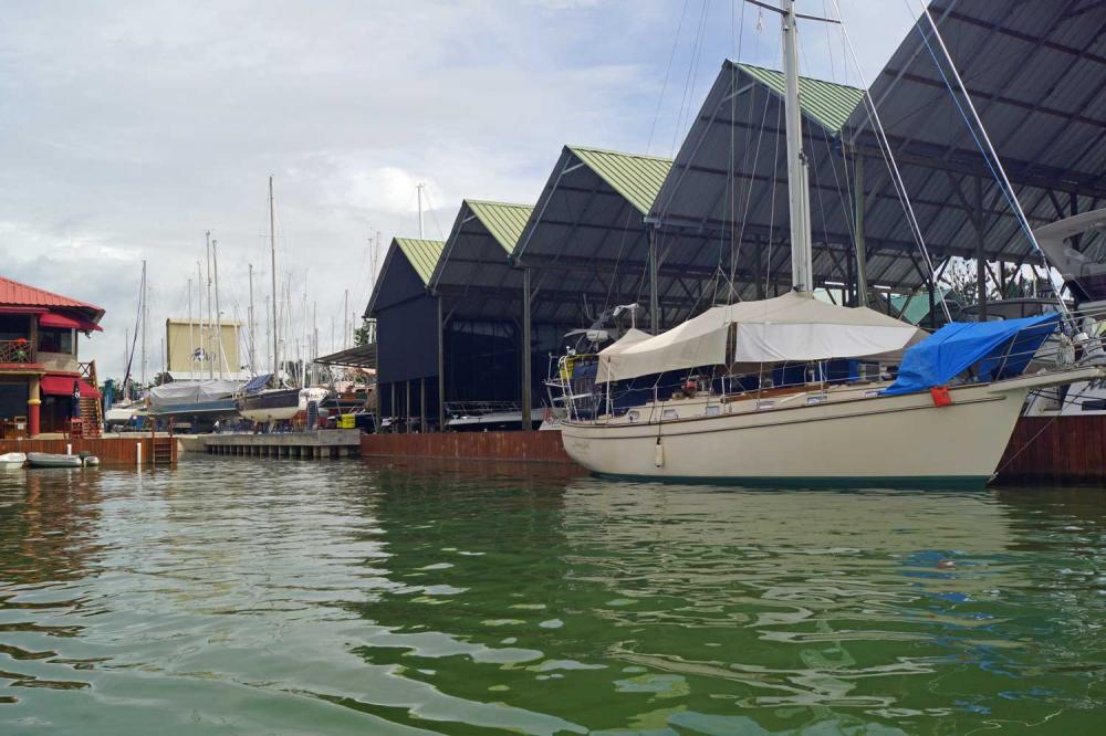
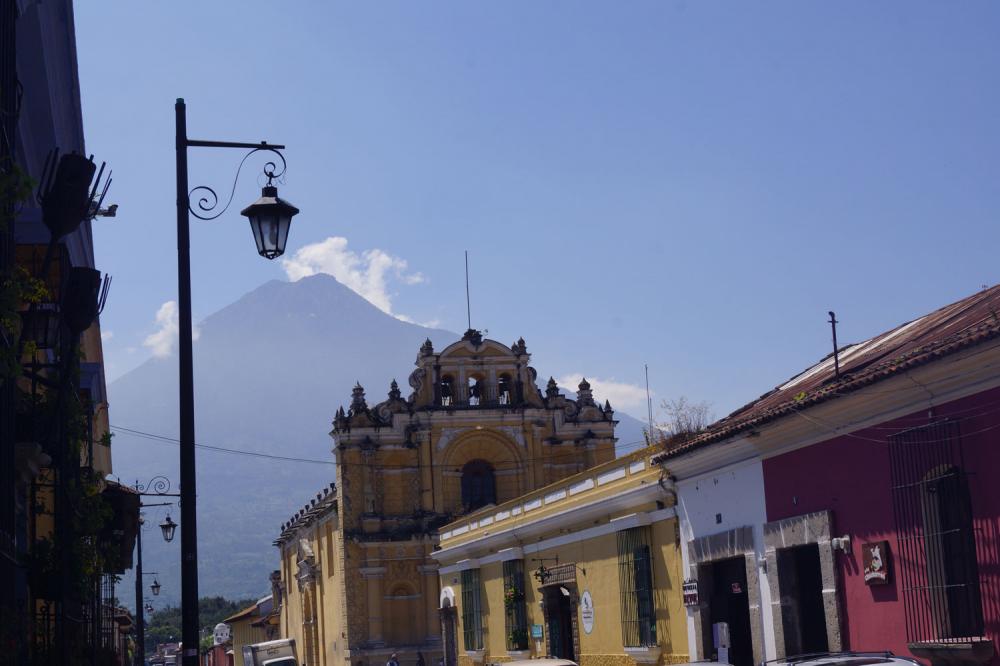
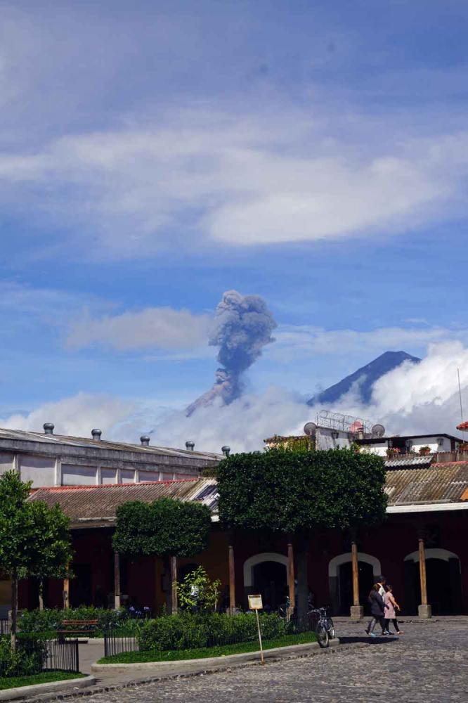
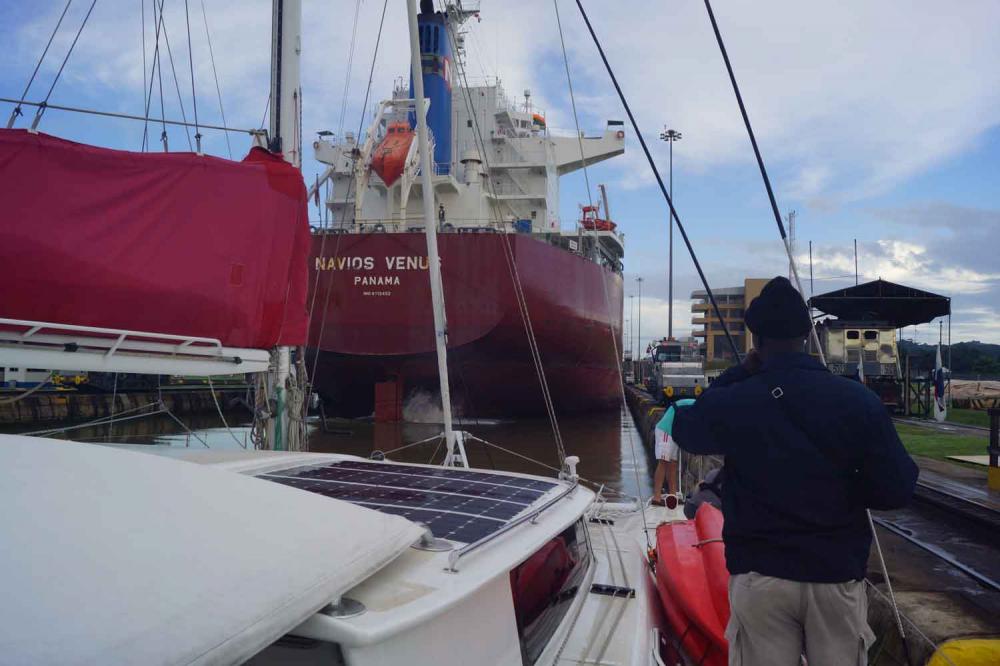
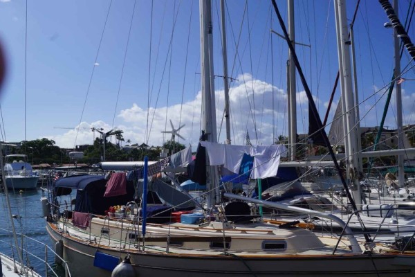
25 December 2022 | RAM Marina Rio Dulce Guatemala
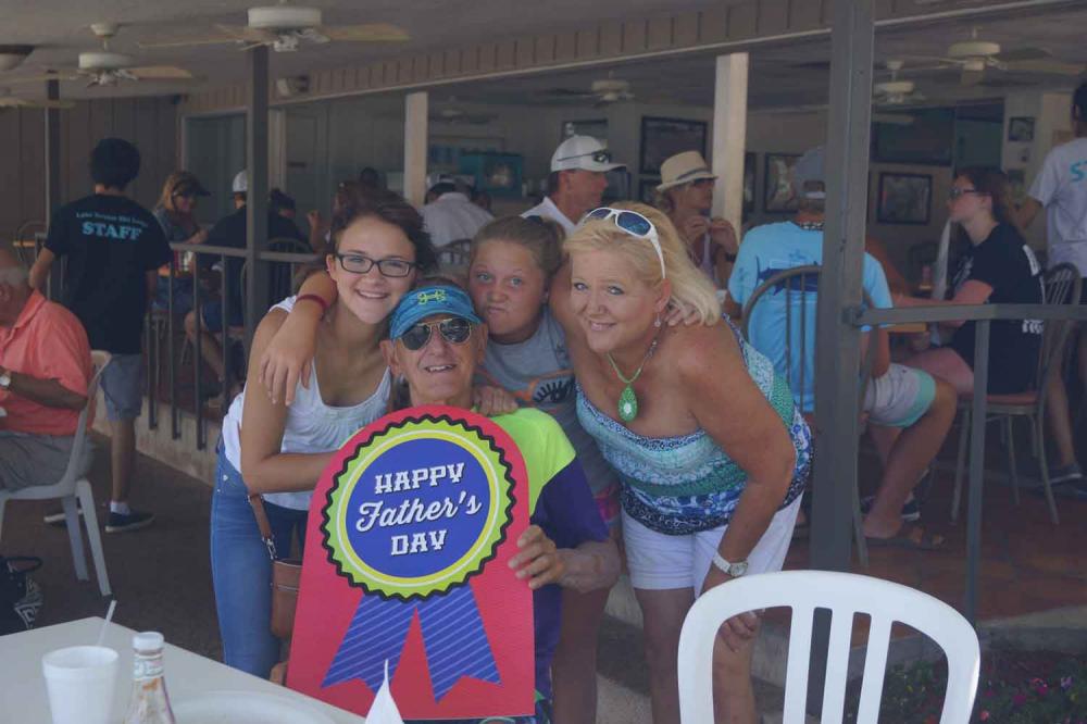
31 October 2022 | New Braunfels, Texas
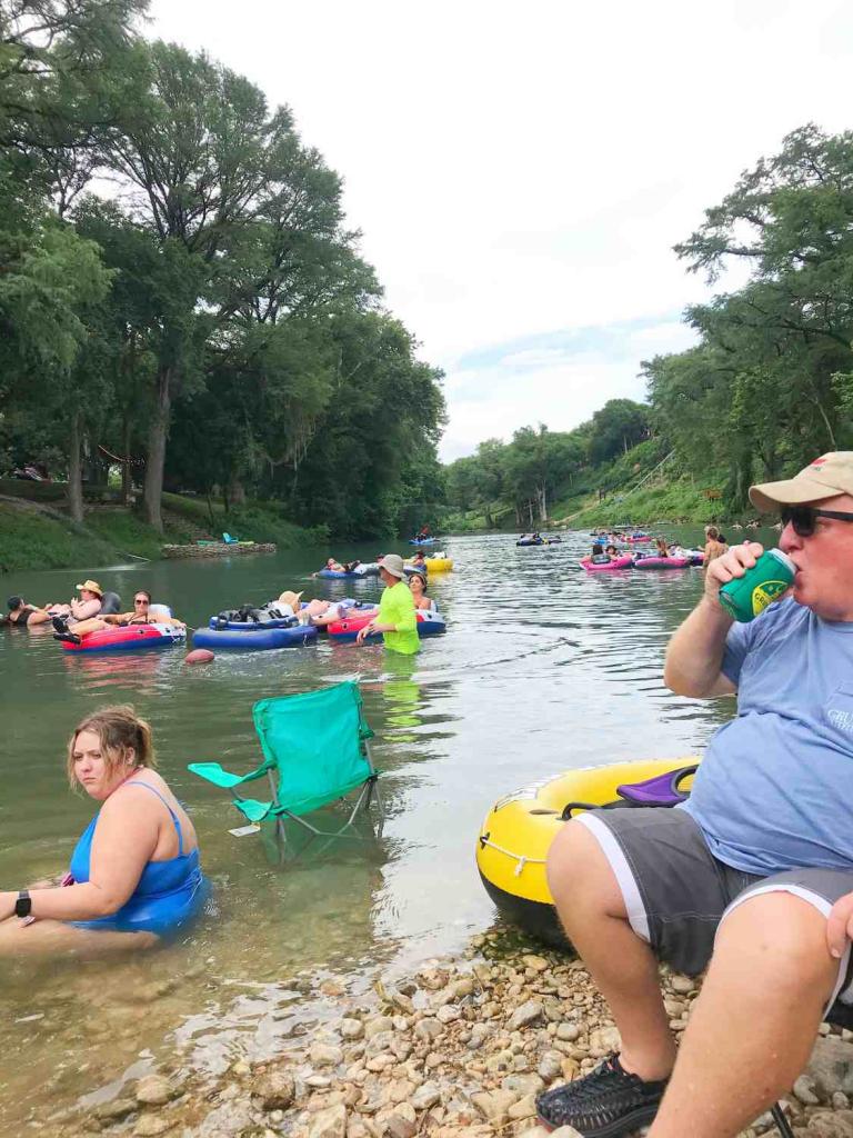
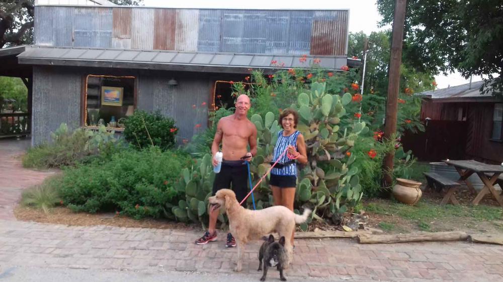
07 August 2022 | Gruene New Braunfels Texas
13 June 2022 | Home in New Braunfels
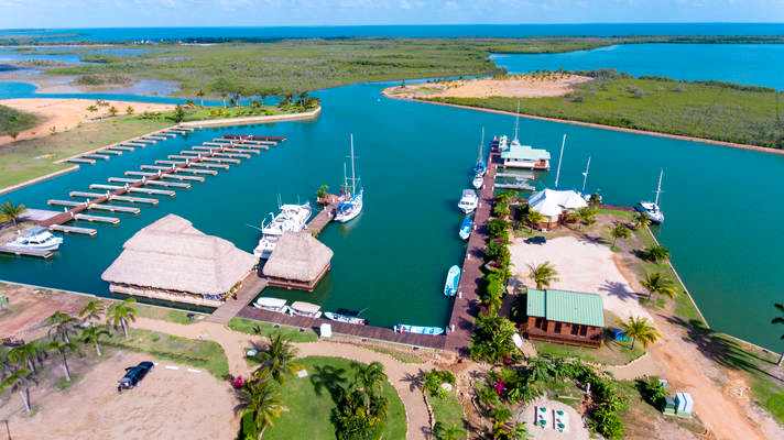
16 April 2022 | The Reserve Marina Sapodilla Lagoon, Beilize
19 February 2022 | RAM Marina Rio Dulce Guatemala
15 December 2021 | RAM Marina Rio Dulce, Guatemala
29 October 2021 | New Braunfels, Texaa
13 August 2021 | New Braunfels, Texas
30 May 2021 | RAM Marina - Rio Dulce Guatemala
17 March 2021 | RAM Marina - Rio Dulce Guatemala
14 December 2020 | RAM Marina - Rio Dulce
28 September 2020 | New Braunfels, Texaa
10 June 2020 | RAM Marina - Rio Dulce
19 May 2020 | The Reserve Marina in Sapodilla Lagoon in Belize
Saba, the Unspoiled Queen
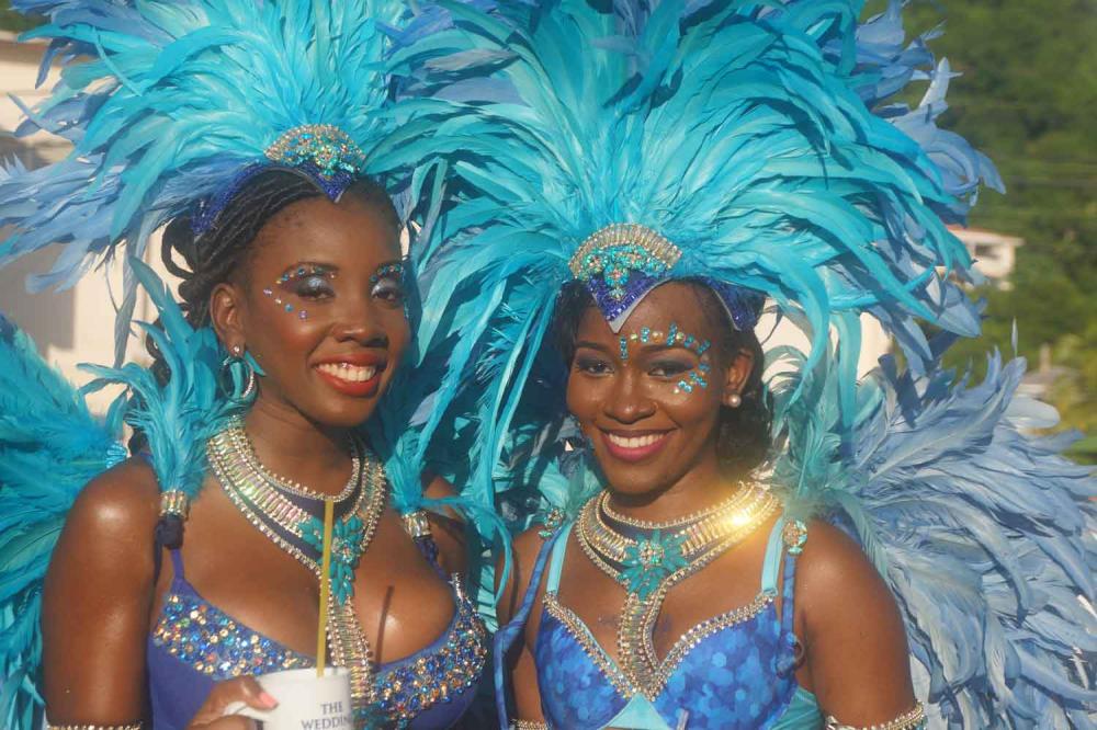
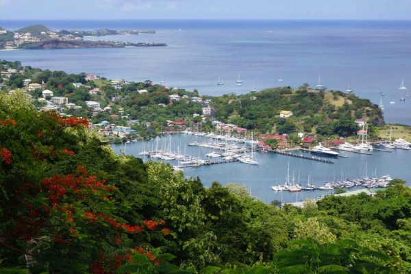
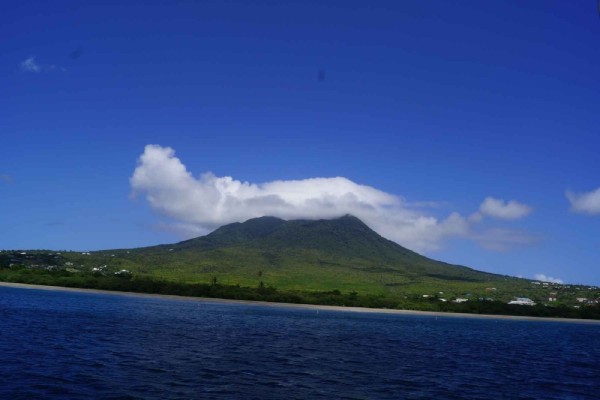
10 February 2015 | Jolly Harbor, Antigua
Bert - Partly Cloudy 12 kn sw wind 81deg
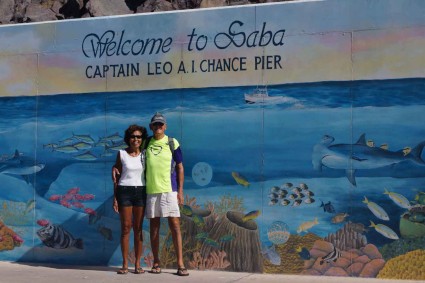
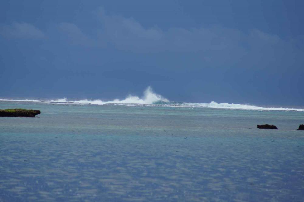
In 1976 I worked in Saba to map the island. Although I had some life threatening experiences during this project I always had a very strong urge to go back to this island. Two years ago we were very close during our sail to St. Maarten and St. Eustatius, but the weather was too unsettled to moor safely and use the dinghy to go ashore. From all the islands I visited and worked on during my years in the Caribbean I have the strongest memories of Saba. I still remember every location in detail and even after all these years I can easily find any part of the island. This is not only because the island is very small, but mainly due to the fact that every location on this island has a surprise in scenery and beautiful views. Saba is not for the casual visitor; it is not only difficult to reach both by sea and by air, but there is hardly a flat piece of land on the entire island and the slopes are very steep or inaccessible. Saba looks like a fairytale picture of a forbidden land. A mere 5 sq/miles, but Mount Scenery reaches a lofty 2877 ft. and she is not the only mountain. Tall cliffs of red, pink and brown rise almost vertically from the sea. Houses sit perched in seemingly impossible positions on the edges of precipices. The south/east part of the island is dry with little vegetation and the slopes of Mount Scenery are a lush tropical rain forest. The top of Mount Scenery is always in the clouds or the clouds are just above it. It hardly happens that the cloud formation is gone, which makes it very difficult to make aerial photography of the island for mapping purposes, like it was my task to do back then, but we succeeded.
Until the early 1940’s Saba was nearly inaccessible. The only access point was called Ladder Bay. An 864 step ladder was cut in a cliff ending on top to a very steep road to the capital city called “The Bottom”. The extraordinary landing on the leeward shore provides scant shelter from the ocean swells in settled weather. The shore line is only a few feet wide and consists of gravel or large rock boulders and boats needed to be unloaded by men standing waist deep in the water and then everything needed to be carried up over the ladder. Nowadays Saba has a landing pier to load and offload cargo from roll-on roll-off ships, but tankers bringing fuel remain anchored offshore with the stern attached to a buoy and a hose is used to pump the fuel onshore. Saba also has an airstrip, but it is like landing on an aircraft carrier. Landings can only be made from the east going with the wind and when you sit on the right side of the aircraft you see no land until the aircraft hits the ground. I have done this several times and I never got used to it. Without any help from the Dutch the Saban people built a road from the airstrip up to the villages of “Hell’s Gate”, “Windwardside”, down to “The Bottom” and to the pier. Although I spent over 3 months on the island in 1976 and I love to drive, I have never driven a car myself on the island. When Dorothy and I intended to walk back from “The Bottom” to the pier after lunch we were very happy that a big truck offered us a lift, because the road is very steep and going down is difficult.
When I worked in Saba it had 999 inhabitants being descendants of Dutch, Scottish and English settlers along with slaves from Africa. The white people lived in “Hell’s Gate” and Windwardside” and the descendants of the African slaves in “The Bottom” and during the time I worked there they did not mingle. When I took my survey team on a Saturday evening out in “Windwardside”, the bar owner asked me to take my Surinamese team members back to “The Bottom”. Fortunately this kind of discrimination is a thing of the past and with the International medical school in “The Bottom” this is now quite a diversified town. The total amount of people living on the island is now over 2000 including 400 students of the medical school. This increase in population is very positive for Saba, especially the influx of younger people. The great thing is that the environment is not negatively influenced by the increase in population. The island is spotless, with villages consisting of whitewashed, green-trimmed, red-roofed cottages and other buildings. The streets are all very well paved mostly with concrete, low stonewalls and small stone churches. When you arrive in Saba the first surprise is the beauty of the island. From the sea it looks like a big rock, but high up the mountain and hills are lush green with spectacular views. The tourist office of Saba is very strongly promoting tourism and if you love to hike and/or dive this is the place to be.
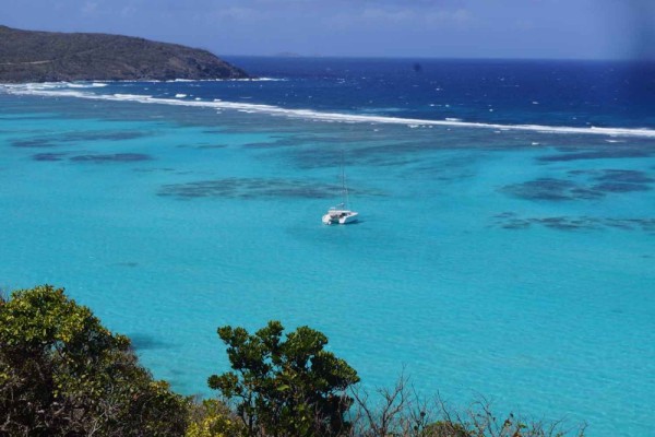
However, Saba is not the easiest anchorage although it has now 8 mooring buoys on the leeside of the island. For bare-boat charters it is off limits and we did not want to stay with Island Girl for more than 2 nights. So we made a promise to ourselves to leave Island Girl in a marina in St. Maarten the next time and fly to Saba so we can enjoy this beautiful island to the fullest.
To cover the island in one day, we rented a taxi from George Wilson and asked him to show us the entire island. As a good business man he made us aware of the fact that the fare would be higher than the usual sightseeing tour but I was happy to tell him that I knew where to go and I would pay him extra for his service. So together we set our route over the island and I was so surprised to find all the places I remembered and most of them are nicer than they used to be. In “The Bottom” I still recognized the street layout except for all the new construction, but I hardly recognized the buildings, except for the hospital and the retirement center. Windwardside is now expanded with streets and houses off the main road but it looks natural, except that the very old cemetery is now surrounded by buildings. Of course we visited “The Ladder” and while George and Dorothy waited for me I went down The Ladder quite a way and I remembered every step of the first of many times I went up and down these very steep stairs later on to work along the coast. During my first reconnaissance trip in 1976 along the close vertical cliffs it started to rain causing loose rocks to come down on us and we had no head protection; even trying to walk in the water did not give us any relief since the falling stones ricocheted horizontally off the rocks and now hit us from the side. The road to the airstrip brings you first to “Hell’s Gate” which gives you a stunning view of this airstrip and you see that with cliffs on three sides it really looks like an aircraft landing strip but without the catapult and the catch lines. On a clear day like we had you can see St. Maarten, St. Bart, St. Eustatius and even St. Kitts. Compared to 1976 when the airport terminal was just a shed, the airstrip now has a very nice arrival and departure hall. Next to the airstrip is Cove Bay which currently has the only beach with a very nice snorkeling area. The only other bay with a beach is “Wells Bay” on the leeside of the island. However, this bay only has a beach in the summer. In the winter time the Atlantic swell takes all the sand away. In this bay we used a line between a fishing boat and the beach to pull a dinghy through the swell to bring men and equipment to shore. One time we counted the swells incorrectly and the dinghy could not “climb the mountain” of the breaking swell causing it to capsize with me and all our survey equipment in it. The rope came around my neck and the fisherman on his boat kept pulling on the rope. Fortunately I came loose but I nearly drowned. The next day the fisherman recovered our equipment, we cleaned it in a bathtub with fresh water and even our electronic distance measuring system still worked. This event was used by the manufacturer in an ad campaign for this equipment.
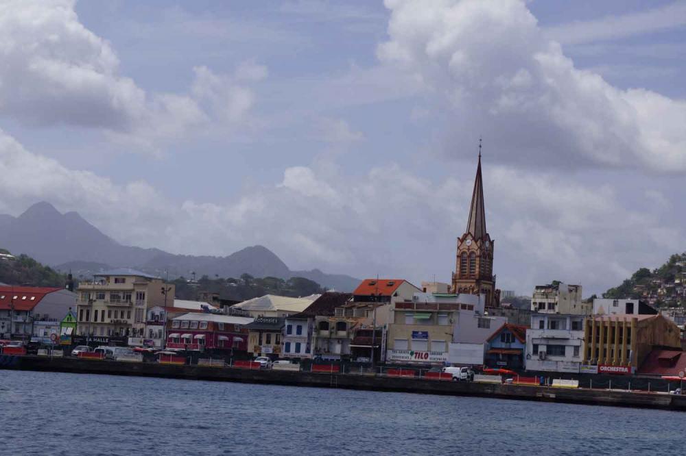
After a good night’s sleep we left Saba on our way to Antigua. I kept on looking over my shoulder to slowly see Saba disappear. We sailed along St. Eustatius and St. Kitts to the south side of St. Kitts where we anchored in “White House Bay”. We expected a slow sail into the wind and waves to Antigua and left the next day on Sunday at 2:00 AM to sail through “The Narrows”. This is a very narrow cut between St. Kitts and Nevis, very shallow with rocks and unlighted small islands. For bare-boat charters this cut is off limits but we made it through and on Sunday at 1 PM we arrived in “Jolly Harbor” in Antigua. We will report on this visit in our next blog.
Until the early 1940’s Saba was nearly inaccessible. The only access point was called Ladder Bay. An 864 step ladder was cut in a cliff ending on top to a very steep road to the capital city called “The Bottom”. The extraordinary landing on the leeward shore provides scant shelter from the ocean swells in settled weather. The shore line is only a few feet wide and consists of gravel or large rock boulders and boats needed to be unloaded by men standing waist deep in the water and then everything needed to be carried up over the ladder. Nowadays Saba has a landing pier to load and offload cargo from roll-on roll-off ships, but tankers bringing fuel remain anchored offshore with the stern attached to a buoy and a hose is used to pump the fuel onshore. Saba also has an airstrip, but it is like landing on an aircraft carrier. Landings can only be made from the east going with the wind and when you sit on the right side of the aircraft you see no land until the aircraft hits the ground. I have done this several times and I never got used to it. Without any help from the Dutch the Saban people built a road from the airstrip up to the villages of “Hell’s Gate”, “Windwardside”, down to “The Bottom” and to the pier. Although I spent over 3 months on the island in 1976 and I love to drive, I have never driven a car myself on the island. When Dorothy and I intended to walk back from “The Bottom” to the pier after lunch we were very happy that a big truck offered us a lift, because the road is very steep and going down is difficult.
When I worked in Saba it had 999 inhabitants being descendants of Dutch, Scottish and English settlers along with slaves from Africa. The white people lived in “Hell’s Gate” and Windwardside” and the descendants of the African slaves in “The Bottom” and during the time I worked there they did not mingle. When I took my survey team on a Saturday evening out in “Windwardside”, the bar owner asked me to take my Surinamese team members back to “The Bottom”. Fortunately this kind of discrimination is a thing of the past and with the International medical school in “The Bottom” this is now quite a diversified town. The total amount of people living on the island is now over 2000 including 400 students of the medical school. This increase in population is very positive for Saba, especially the influx of younger people. The great thing is that the environment is not negatively influenced by the increase in population. The island is spotless, with villages consisting of whitewashed, green-trimmed, red-roofed cottages and other buildings. The streets are all very well paved mostly with concrete, low stonewalls and small stone churches. When you arrive in Saba the first surprise is the beauty of the island. From the sea it looks like a big rock, but high up the mountain and hills are lush green with spectacular views. The tourist office of Saba is very strongly promoting tourism and if you love to hike and/or dive this is the place to be.
However, Saba is not the easiest anchorage although it has now 8 mooring buoys on the leeside of the island. For bare-boat charters it is off limits and we did not want to stay with Island Girl for more than 2 nights. So we made a promise to ourselves to leave Island Girl in a marina in St. Maarten the next time and fly to Saba so we can enjoy this beautiful island to the fullest.
To cover the island in one day, we rented a taxi from George Wilson and asked him to show us the entire island. As a good business man he made us aware of the fact that the fare would be higher than the usual sightseeing tour but I was happy to tell him that I knew where to go and I would pay him extra for his service. So together we set our route over the island and I was so surprised to find all the places I remembered and most of them are nicer than they used to be. In “The Bottom” I still recognized the street layout except for all the new construction, but I hardly recognized the buildings, except for the hospital and the retirement center. Windwardside is now expanded with streets and houses off the main road but it looks natural, except that the very old cemetery is now surrounded by buildings. Of course we visited “The Ladder” and while George and Dorothy waited for me I went down The Ladder quite a way and I remembered every step of the first of many times I went up and down these very steep stairs later on to work along the coast. During my first reconnaissance trip in 1976 along the close vertical cliffs it started to rain causing loose rocks to come down on us and we had no head protection; even trying to walk in the water did not give us any relief since the falling stones ricocheted horizontally off the rocks and now hit us from the side. The road to the airstrip brings you first to “Hell’s Gate” which gives you a stunning view of this airstrip and you see that with cliffs on three sides it really looks like an aircraft landing strip but without the catapult and the catch lines. On a clear day like we had you can see St. Maarten, St. Bart, St. Eustatius and even St. Kitts. Compared to 1976 when the airport terminal was just a shed, the airstrip now has a very nice arrival and departure hall. Next to the airstrip is Cove Bay which currently has the only beach with a very nice snorkeling area. The only other bay with a beach is “Wells Bay” on the leeside of the island. However, this bay only has a beach in the summer. In the winter time the Atlantic swell takes all the sand away. In this bay we used a line between a fishing boat and the beach to pull a dinghy through the swell to bring men and equipment to shore. One time we counted the swells incorrectly and the dinghy could not “climb the mountain” of the breaking swell causing it to capsize with me and all our survey equipment in it. The rope came around my neck and the fisherman on his boat kept pulling on the rope. Fortunately I came loose but I nearly drowned. The next day the fisherman recovered our equipment, we cleaned it in a bathtub with fresh water and even our electronic distance measuring system still worked. This event was used by the manufacturer in an ad campaign for this equipment.
After a good night’s sleep we left Saba on our way to Antigua. I kept on looking over my shoulder to slowly see Saba disappear. We sailed along St. Eustatius and St. Kitts to the south side of St. Kitts where we anchored in “White House Bay”. We expected a slow sail into the wind and waves to Antigua and left the next day on Sunday at 2:00 AM to sail through “The Narrows”. This is a very narrow cut between St. Kitts and Nevis, very shallow with rocks and unlighted small islands. For bare-boat charters this cut is off limits but we made it through and on Sunday at 1 PM we arrived in “Jolly Harbor” in Antigua. We will report on this visit in our next blog.
Comments
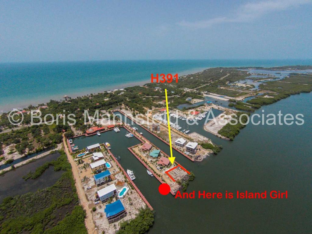
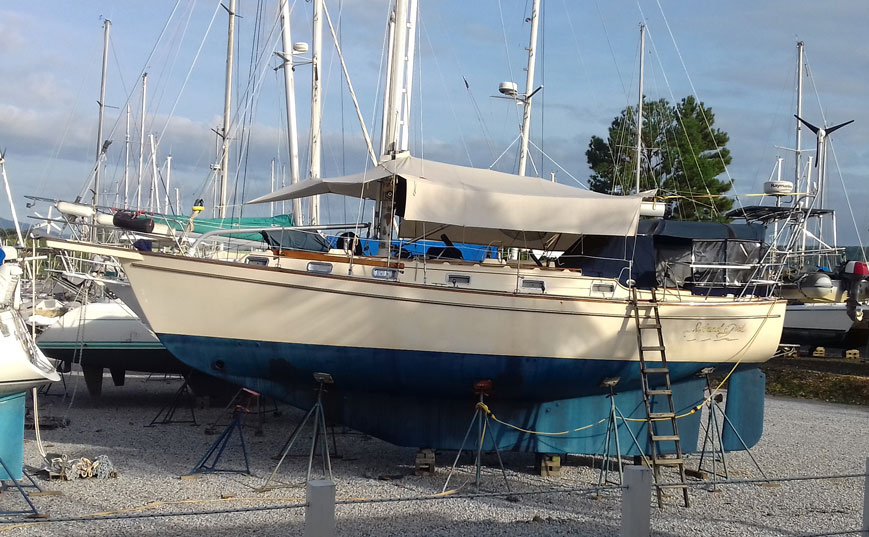
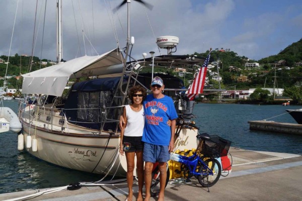
| Vessel Name: | Island Girl |
| Vessel Make/Model: | Island Packet 38 |
| Hailing Port: | Miami Beach, FL |
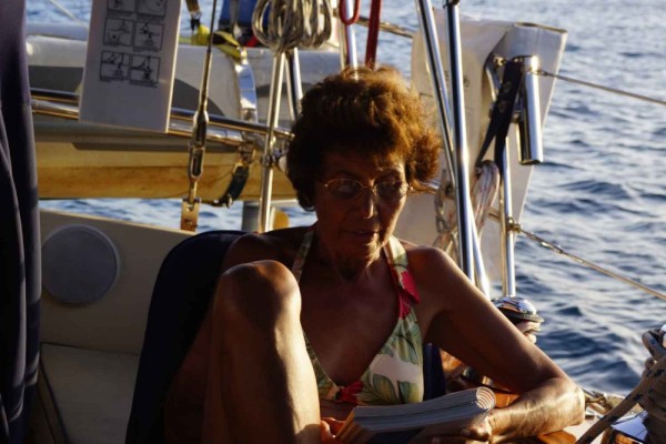
| Crew: | Dorothy and Bert Dorrestyn |
| About: | |
| Home Page: | https://www.facebook.com/ |
| Social: |
|
Island Girl's Photos - Main
 |
 |
 |
 |
27 Photos
Created 4 June 2023
|
 |
 |
Our 2022 Trip from New Braunfels to Rio Dulce, Guatemala
14 Photos
Created 25 December 2022
|
 |
 |
 |
 |
 |
 |
 |
 |
 |
 |
 |
 |
32 Photos
Created 28 September 2020
|
 |
 |
 |
 |
 |
 |
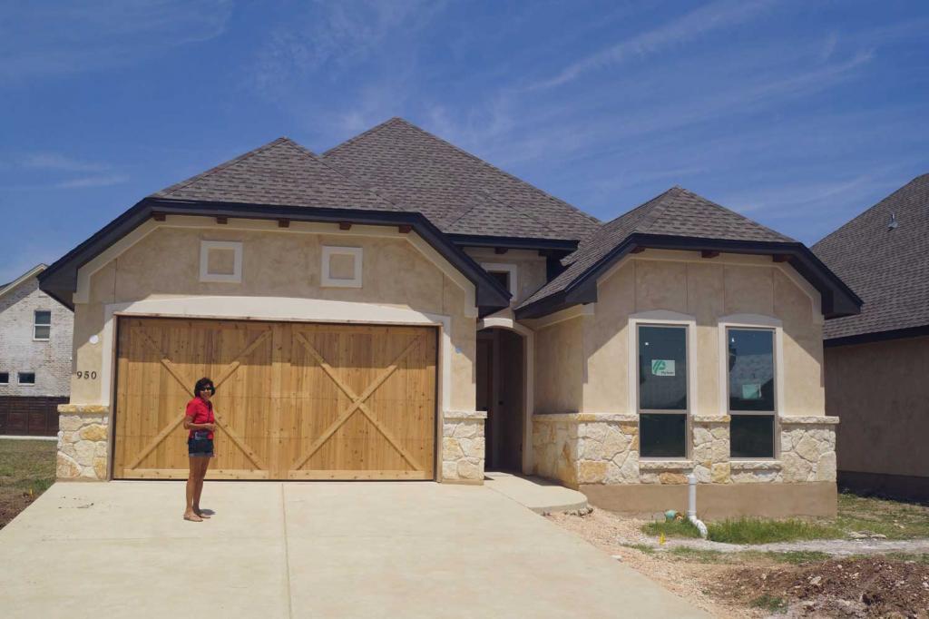 |
The building of our new home
34 Photos
Created 12 August 2019
|
 |
 |
 |
35 Photos
Created 25 January 2019
|
 |
 |
 |
 |
 |
 |
 |
 |
 |
 |
 |
 |
Guatemala and Back to Texas in June 2017
37 Photos
Created 18 June 2017
|
 |
 |
 |
 |
Our Visit to Guanaja Honduras
34 Photos
Created 30 April 2017
|
 |
 |
Our visit to Isla San Andres Colombia in March 2017
38 Photos
Created 21 March 2017
|
 |
 |
 |
 |
 |
 |
 |
 |
 |
 |
 |
 |
 |
 |
 |
 |
 |
 |
 |
 |
 |
 |
 |
38 Photos
Created 3 February 2016
|
 |
 |
 |
 |
 |
 |
Our visit to Cartagena des Indias in November 2015
52 Photos
Created 25 November 2015
|
 |
 |
 |
Visit to Bogota October 20 - 23 2015
53 Photos
Created 26 October 2015
|
 |
 |
 |
13 Photos
Created 6 September 2015
|
 |
 |
 |
 |
 |
 |
 |
 |
Leaving Antigua back to Guadeloupe
33 Photos
Created 30 March 2015
|
 |
 |
 |
St. Croix to St. Maarten Simpson Bay
23 Photos
Created 11 January 2015
|
 |
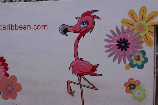
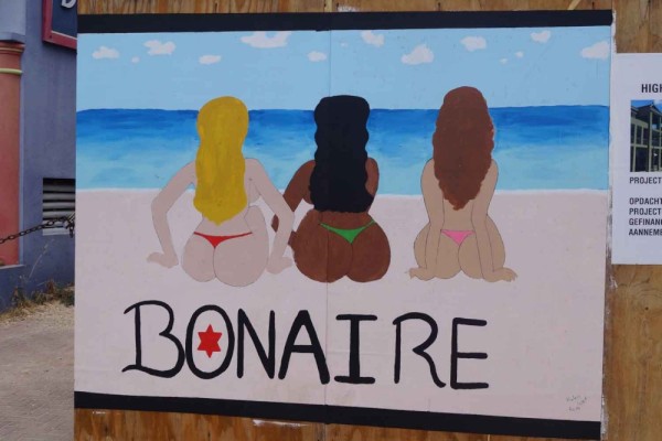
Farewell Bonaire and Hello St. Croix
28 Photos
Created 15 December 2014
|
 |
 |
 |
 |
 |
 |
Sailing South from St Lucia to Grenada
38 Photos
Created 31 May 2014
|
 |
Sailing South from Antigua to St. Lucia
22 Photos
Created 12 May 2014
|
 |
 |
Sailing North from Martinique to Antigua
26 Photos
Created 9 April 2014
|
 |
Sailing North Trinidad to Martinique
11 Photos
Created 2 April 2014
|
 |
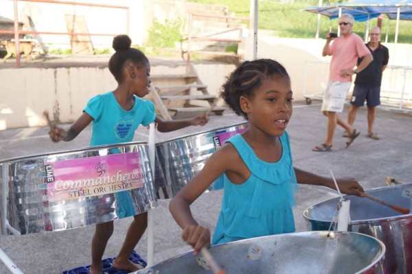
Trinidad Land Trip and Haul-out
30 Photos
Created 13 March 2014
|
 |
 |
Trinidad a Lot of Work and Some Fun
39 Photos
Created 19 February 2014
|
 |
 |
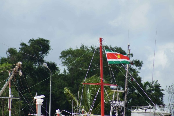
Farewell Suriname – Back to the Caribbean
44 Photos
Created 27 January 2014
|
 |
 |
Suriname - The Re-discovery Continued
34 Photos
Created 24 November 2013
|
 |
Suriname - “A sentimental journey to renew old memories”
34 Photos
Created 2 November 2013
|
 |
Bartica and Georgetown – Guyana
49 Photos
Created 18 October 2013
|
 |
 |
 |
A Roller Coaster Visit to the USA
45 Photos
Created 31 August 2013
|
 |
 |
 |
 |
 |
 |
 |
 |
 |
 |
Nevis, Montserrat, Guadeloupe
43 Photos
Created 22 April 2013
|
 |
 |
 |
 |
 |
British Virgin Islands Continued
37 Photos
Created 15 March 2013
|
 |
 |
 |
St. Thomas US Virgin Islands
26 Photos
Created 21 February 2013
|
 |
 |
 |
 |
Dominican Republic Land Trip
43 Photos
Created 16 January 2013
|
 |
 |
 |
 |
 |
Bert and Dorothy Dorrestyn, The Crew of Island Girl
7 Photos
Created 20 October 2012
|
 |
Dorothy and Bert Sailing the Caribbean
Who: Dorothy and Bert Dorrestyn
Port: Miami Beach, FL