
Pacific Odyssey 2010/2011
Follow the Larsens from Seattle to Australia and back.
14 February 2011
16 November 2010 | Australia
14 November 2010 | Ballina, NSW
10 November 2010 | Scarborough, QLD
02 November 2010
22 October 2010 | Brisbane
16 October 2010
15 October 2010
14 October 2010
08 October 2010 | Vanuatu
01 October 2010 | Noumea, New Caledonia
28 September 2010
28 September 2010
26 September 2010
25 September 2010
23 September 2010
21 September 2010 | Lautoka
19 September 2010
18 September 2010 | Musket Cove, Fiji
16 September 2010
Setbacks
24 August 2010 | Vavau, Tonga
Eric
Just before we left Nieafu, Finn dropped the ipod containing all of the audio books entertaining the kids and keeping Mom and Dad sane overboard. The salt water killed it instantly, and the water is about 100 feet here, so no diving for it. He forgot the rule about ipods not going above deck and felt really bad. I can't get too mad, I have dropped my share of things over the side, including my glasses in Hilo, which I did retrieve after 20 minutes of diving. Fortunately I have another ipod, though it can't hold all our books and music.
A bigger setback came though the day after my last post. I should not have been critical of sailing with chart plotters, as I am now having trouble with mine. We were planning next week's route to SavuSavu, Fiji. To do this I had to swap the cards in the chartplotter. When I put the new card in, it didn't load. Uh oh. I tried it in the PC, where I get a lower resolution version for planning, that worked, but it didn't work in the chart plotter. My card for Australia was doing the same thing. Christine reminded me that I saved fifty bucks on these buying them from an online reseller via Amazon versus Garmin. Double uh oh. Did I get a counterfeit card? Did the IT guy buy the wrong version of chip that was not compatible with his model plotter? We had paper charts and several backup GPS devices, but chart plotters are nice and, used responsibly, increase safety. We also have a sextant and reduction tables, and Christine and I technically know how to use it, although we are not practiced. I am quite confident we could use it to find the coast of Australia, though hitting a pass through the Great barrier Reef might be challenging.
After fumbling around a while I decided to methodically troubleshoot and put the Polynesia card back in. It no longer loaded. Now I was more concerned. It appears my machine is no longer reading any cards, although it does beep when I insert them. . It came preloaded with the US coasts and Hawaii but it has stopped reading the data cards containing the supplemental maps of out of the way, remote locales such as Tonga and Fiji.
I realized it was Friday night in Australia, and the regional Garmin support was already closed until Monday. Why can't things break on Mondays? With the date line we would have a few hours for US support in the morning. I emailed our installer, who told me that Garmin would want me to upgrade the software first, as this solved a lot of problems. Two issues there: I didn't have the software, and it had to be loaded via the card reader. He offered to help if I get stuck with their support. Garmin didn't have a support email on their website, so I tried to Skype the support desk, but my Internet connection wasn't good enough. So we motored back to Nieafu for a better connection. Skype still didn't work, so I called them on the Satellite phone. (ouch$) I had a fifteen minute call with one tech who was helpful, then we got cut off. Another call yielded some better understanding of options, including a full reset, then we were cut off and the prompt system would not accept any new calls. I did get an email address though. I would have to try to update the software and do the system reset before they will consider replacing my unit. But several several attempts to download the 87 MB file over Tonga's internet service have failed. Several tries got as much as 70 MB downloaded before the connection dropped. Finally I the file downloaded and installed on a card, but the chart plotter still wouldn't read it. I also tried full factory resets to no avail. A perplexing thing was that the unit still beeped every time I put in a card, so it didn't seem like a fully mechanical issue, but perhaps a software glitch.
We have an older, small chart plotter along. On the first attempt it would not read my map chips, but a software update to that (fortunately only a 50 MB file that I got on the first try) solved that issue. This was a good victory for me, as our redundancy worked, and my discount chips are not the issue. We are going from a 10inch screen to a 4.5 inch screen with fewer features, but we have a chart plotter. Mike form Carpe Vita also gave me a shareware vector charting program that I will load up shortly. Another good backup.
I tried loading the software update onto a really old SD card I had. It barely fit, but the chart plotter read it and loaded the software updates. My luck stopped there though, it still won't read the larger cards containing the maps. It looks like eventually I will have to mail the unit in to be repaired, but as it is also our radar display, we are reluctant to do that until we make Australia. We learned it would cost us around US$500 to ship the unit out of here priority. It is also quite hard to receive things here as customs tend to detain arriving packages. It could easily take a few weeks, or months, to turn the unit around. We hope to be in Australia in about two months.
With respect to another issue I did have a break through in tracking down the autopilot replacement parts Kevin sent me. Turns out the government added a prefix for mobile phones, which was why I couldn't call the mail stop he sent the gear to. I reached my mail contact and she is sending the part up on the plane. This is good, as we will likely not have time to sail down to Tongatapu.
Talking to other boats, many seem to have significant system failures: Carpe Vita is still having some engine trouble, Independence's water maker is out, and Compass Rose is without refrigeration. Getting by with issues seems to be part of the cruising life. At least we have a back up for our current issue. I wonder what else will be out when we reach Australia. A fellow sailor in Seattle once told me " right now something on my boat is breaking. I don't know what it is, but I will soon." Quite true.
Meanwhile we have found some fun things to do in town with the kids. Today we went on a kart tour, and saw some farms and inland areas via these motorized all terrain vehicles. The kids had a blast, and we will post more pictures soon. Tomorrow we will make a two hour sail to an anchorage where the kids can swim and snorkel. Despite the issues, we are enjoying Vavua and the time here is going fast.
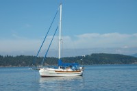
| Vessel Name: | Jenny P |
| Vessel Make/Model: | Hans Christian 33T |
| Hailing Port: | Seattle, Washington |
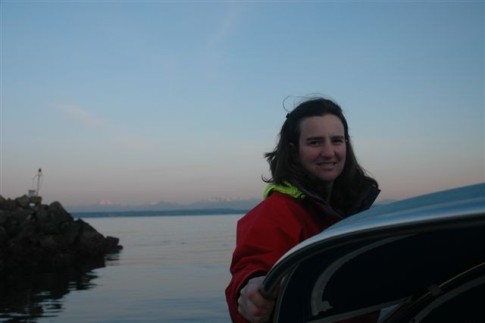
| Crew: | Eric, Christine and family |
| About: | Sophie 10 Finn 7 Freya 5 |
| Extra: | After sailing in the Pacific Northwest for 10 years, we are preparing to sail to the South Pacific |
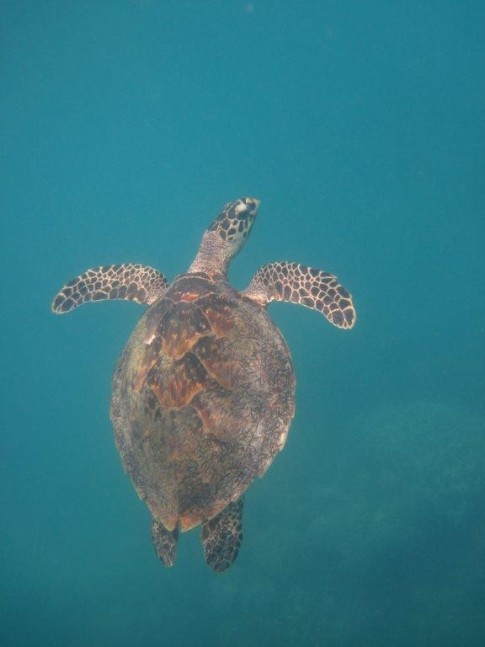
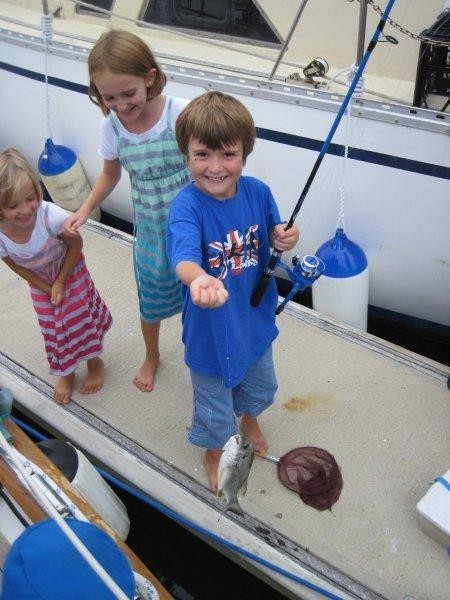
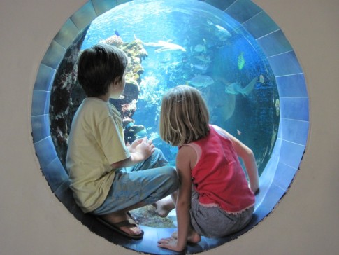
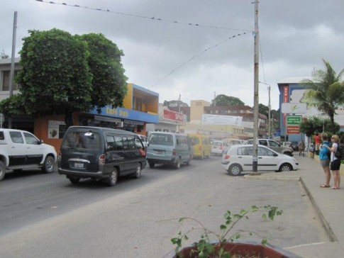
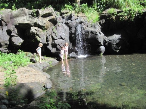
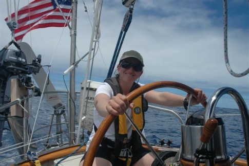
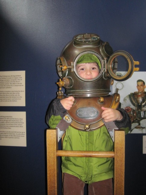
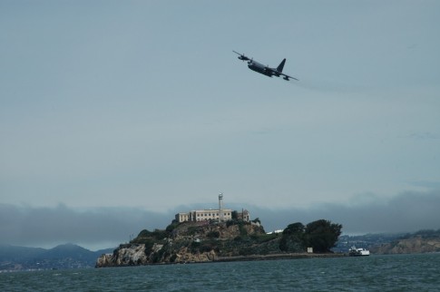
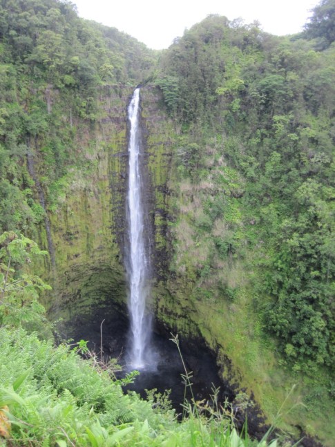
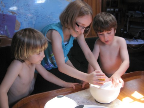
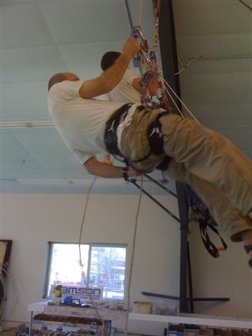
Jenny P's Photos - Main
 |
 |
 |
 |
 |
 |
 |
 |
 |
 |
 |
 |
 |
 |
 |
 |
 |
 |
Who: Eric, Christine and family
Port: Seattle, Washington
Gallery


Favorites
No Links Added Yet