Cruising on Just Lucky
The travels of the sailboat Just Lucky and the able crew
16 February 2023
16 February 2023
16 February 2023
12 February 2023
12 February 2023
12 February 2023
12 February 2023
21 January 2023
11 January 2023
02 April 2022
02 April 2022
02 April 2022
30 March 2022
30 March 2022
30 March 2022 | Above Ensenada Grande
28 January 2022
17 December 2021
17 December 2021
17 December 2021
16 December 2021
Khutze Inlet 7/20 – 7/21/2017
22 July 2017 | Khutze Inlet
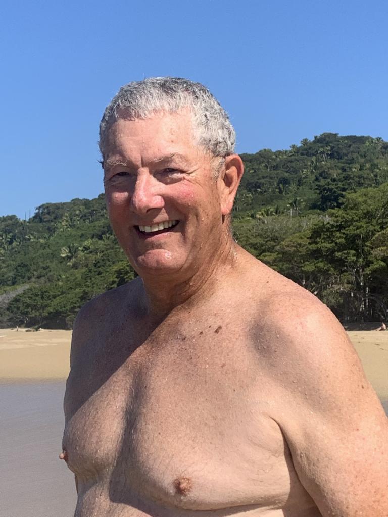
Ron
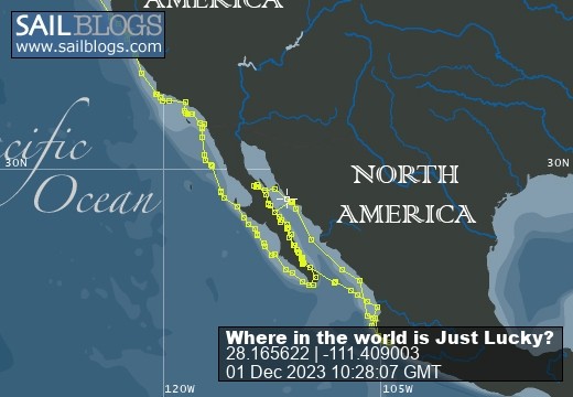
Our route and current location:
https://share.garmin.com/RonRisden
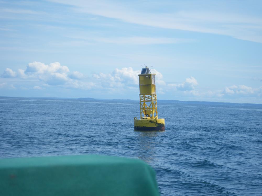
For those following along at home - and at work - the Sail Blog app is just a straight line, giving our anchored locations - where we end for the day. The Garmin track linked above, which starts in Powell River, gives a fairly continuous track of our travels; showing the ins and outs (and backtracking) we are doing. Also you will notice that the dates of the writing may seem a little off. Entries get written when there is a good internet connection and may reflect that date. We will try to start putting the date(s) into the heading.
We left Kynoch Inlet at a leisurely time, @ 9:30, with the intention of just moseying up along towards Prince Rupert, stopping at appropriate distances for the night. It was going to be a no stress four days or so to Prince Rupert where we would stay for a few days before crossing over back into the US in Alaska. The spot we picked out for the first night was Carter Bay, a cute little spot about 20 or 25 nautical miles from Kynoch Inlet. Well we made great time and arrived there so quickly that we decided to continue on. We decided on trying to go for Green Inlet, which was another 20 nautical miles or so, figuring 'what the heck - we can anchor pretty much anywhere if we have to'.
They say that there comes a time in a young pilot's life when the learning curve has flattened out and the guard is let down. The usual time frame is between 500 and 1000 hours of flight time. They have seen it all and can handle it. Well not being a young pilot, but a beginning skipper with now about a 1000 miles in and plenty of anchoring under my belt, we - I - felt this was not too bad a decision.
We pulled into Green Inlet and tried to anchor in every way we knew how. Stern anchor, shore tie, just regular drop; nothing seemed to work. To start with it was very deep with many of the good spots being 125 feet or so. When we tried to anchor and stern tie, we kept getting pushed gently right up to the rock bank, necessitating our motoring up to avoid scraping the boat on the bottom or sides (yes it was that steep in some spots). We drove all the way up the inlet looking for a good spot - 5 miles up and 5 miles back, with no luck. Short story - after 2 - ½ hours of trying, we left. Having gotten there in the later afternoon, it was now 7:00 and we turned up north again.
The next inlet of any size with an anchor symbol on the chart was Khutze. When we pulled into Khutze, we tried to anchor at the entry, in a spot shown on the chart. We had no luck in finding what was described as an adequate anchorage there either, so we elected to drive back into the head of the inlet; Carter Bay was now looking pretty good. It was now getting past 9:00 and the prospect of driving all night to avoid anchoring in the dark loomed up like a bad dream. We came to the head of the inlet, and there were several other boats; giving rise to the thought that anchoring there was ok. We looked around for a good spot, and finally found one of the ones in the guidebook to be great. It was very open, and although deep at 85 feet, had good holding. We finally anchored at 9:30 that night.
We stayed a couple of nights in Khutze Inlet; we were not going to rise early and take off after the previous day's activities! We took the dinghy out in the morning and explored the flats around the river that empties into the head of the inlet. On one of the arms of the flats, we came across a two year old brown bear that was bedded down for the day. Lifting its head up as our dinghy approached, we were able to take a few photos while only a short distance away and then left. It was our 8th brown bear sighting of the trip. We returned to the boat and had a great dinner of couscous and fresh crab cakes; one of the benefits of boat travel in the PNW!
https://share.garmin.com/RonRisden
For those following along at home - and at work - the Sail Blog app is just a straight line, giving our anchored locations - where we end for the day. The Garmin track linked above, which starts in Powell River, gives a fairly continuous track of our travels; showing the ins and outs (and backtracking) we are doing. Also you will notice that the dates of the writing may seem a little off. Entries get written when there is a good internet connection and may reflect that date. We will try to start putting the date(s) into the heading.
We left Kynoch Inlet at a leisurely time, @ 9:30, with the intention of just moseying up along towards Prince Rupert, stopping at appropriate distances for the night. It was going to be a no stress four days or so to Prince Rupert where we would stay for a few days before crossing over back into the US in Alaska. The spot we picked out for the first night was Carter Bay, a cute little spot about 20 or 25 nautical miles from Kynoch Inlet. Well we made great time and arrived there so quickly that we decided to continue on. We decided on trying to go for Green Inlet, which was another 20 nautical miles or so, figuring 'what the heck - we can anchor pretty much anywhere if we have to'.
They say that there comes a time in a young pilot's life when the learning curve has flattened out and the guard is let down. The usual time frame is between 500 and 1000 hours of flight time. They have seen it all and can handle it. Well not being a young pilot, but a beginning skipper with now about a 1000 miles in and plenty of anchoring under my belt, we - I - felt this was not too bad a decision.
We pulled into Green Inlet and tried to anchor in every way we knew how. Stern anchor, shore tie, just regular drop; nothing seemed to work. To start with it was very deep with many of the good spots being 125 feet or so. When we tried to anchor and stern tie, we kept getting pushed gently right up to the rock bank, necessitating our motoring up to avoid scraping the boat on the bottom or sides (yes it was that steep in some spots). We drove all the way up the inlet looking for a good spot - 5 miles up and 5 miles back, with no luck. Short story - after 2 - ½ hours of trying, we left. Having gotten there in the later afternoon, it was now 7:00 and we turned up north again.
The next inlet of any size with an anchor symbol on the chart was Khutze. When we pulled into Khutze, we tried to anchor at the entry, in a spot shown on the chart. We had no luck in finding what was described as an adequate anchorage there either, so we elected to drive back into the head of the inlet; Carter Bay was now looking pretty good. It was now getting past 9:00 and the prospect of driving all night to avoid anchoring in the dark loomed up like a bad dream. We came to the head of the inlet, and there were several other boats; giving rise to the thought that anchoring there was ok. We looked around for a good spot, and finally found one of the ones in the guidebook to be great. It was very open, and although deep at 85 feet, had good holding. We finally anchored at 9:30 that night.
We stayed a couple of nights in Khutze Inlet; we were not going to rise early and take off after the previous day's activities! We took the dinghy out in the morning and explored the flats around the river that empties into the head of the inlet. On one of the arms of the flats, we came across a two year old brown bear that was bedded down for the day. Lifting its head up as our dinghy approached, we were able to take a few photos while only a short distance away and then left. It was our 8th brown bear sighting of the trip. We returned to the boat and had a great dinner of couscous and fresh crab cakes; one of the benefits of boat travel in the PNW!
Comments
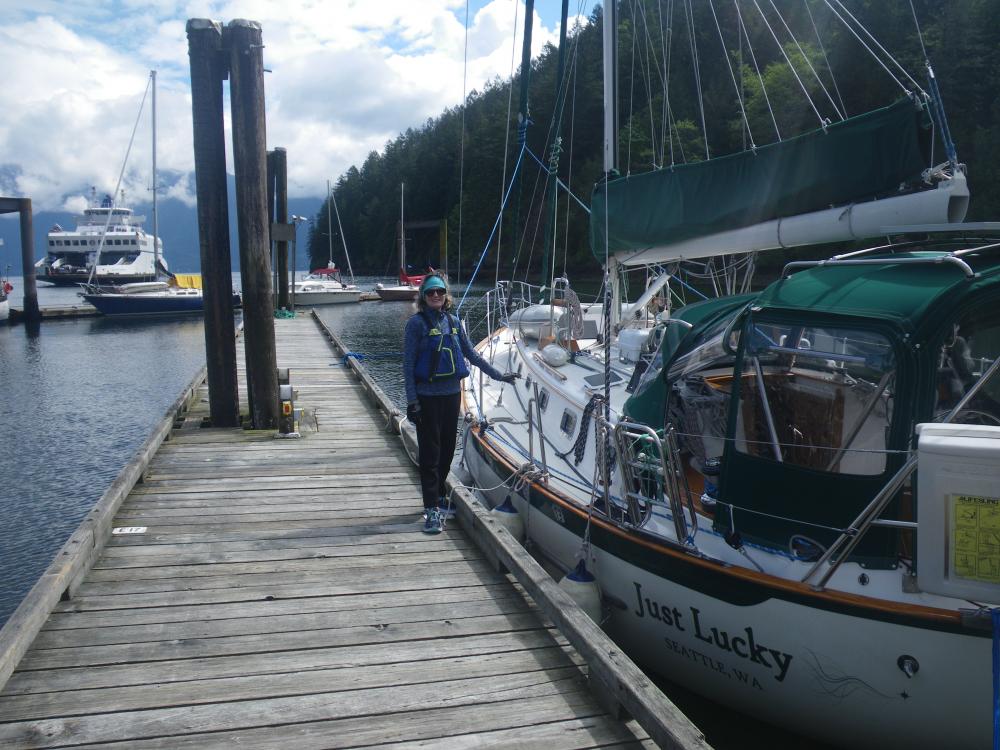
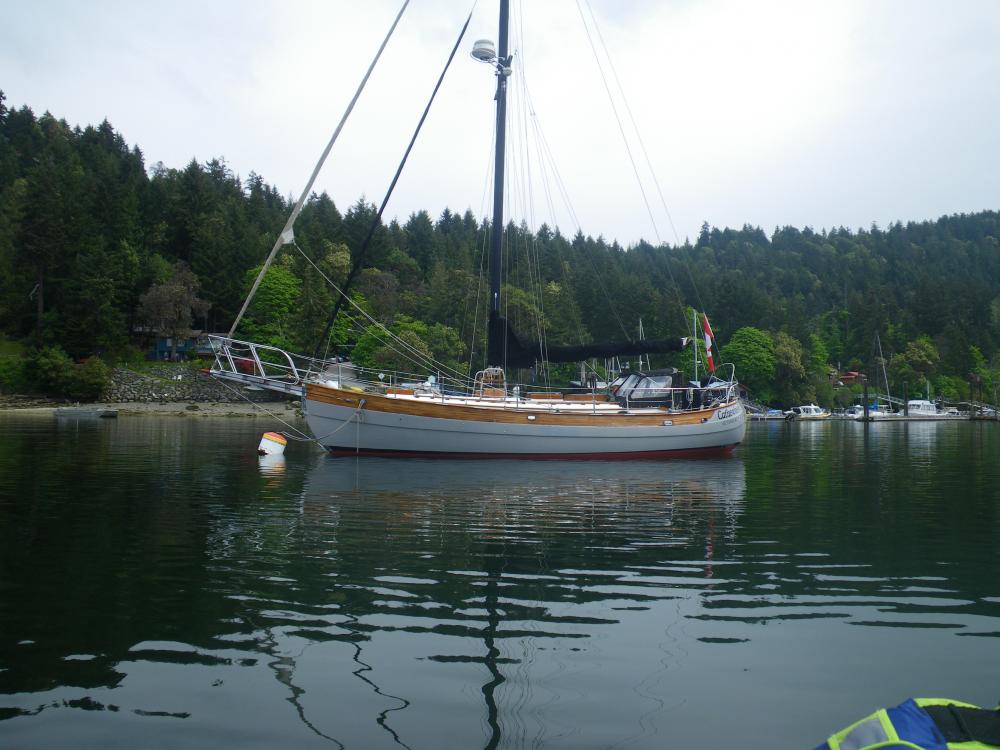
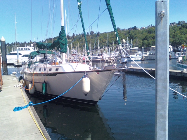
| Vessel Name: | Just Lucky |
| Vessel Make/Model: | Pacific Seacraft 40 |
| Hailing Port: | Seattle |
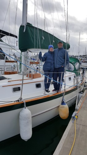
| Crew: | Ron & Kirsten Risden |
| About: | Retired and seeking new places to travel to and explore. Traveling up the Inside Passage to SE Alaska and exploring the coast along the way. |
Just Lucky's Photos - Main
 |
Hiked to an abandoned hotel and saw Roseate Spoonbills in the lagoon. Exciting ride in the dingy - grounded a couple times and then blasted through the standing wave at the river bar
3 Photos
Created 16 February 2023
|
 |
Our turn around point for heading back north.
4 Photos
Created 16 February 2023
|
 |
 |
 |
 |
 |
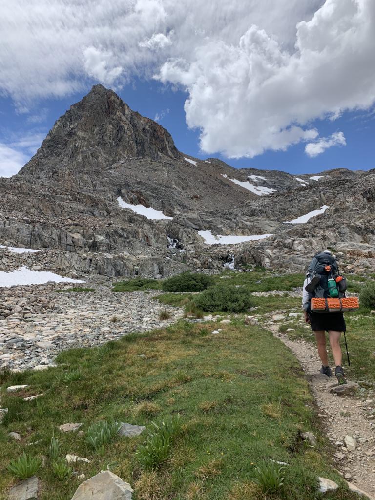 |
Kirsten hiked from Kennedy Meadows South to Ebbett's Pass this summer. She was joined by her good friend Johanna and her sister-in-law Amanita for some of the most beautiful
18 Photos
Created 11 January 2023
|
 |
Getting the boat ready to be "on the hard" for 6 months. A big, hot job.
4 Photos
Created 11 January 2023
|
 |
 |
 |
 |
 |
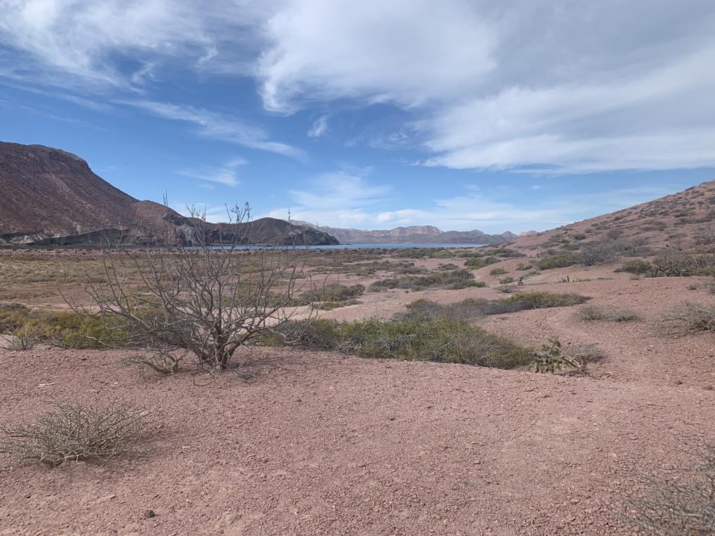 |
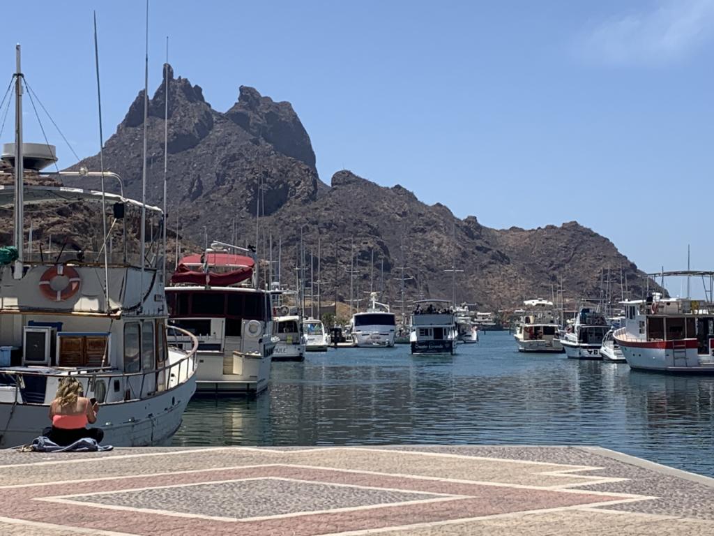
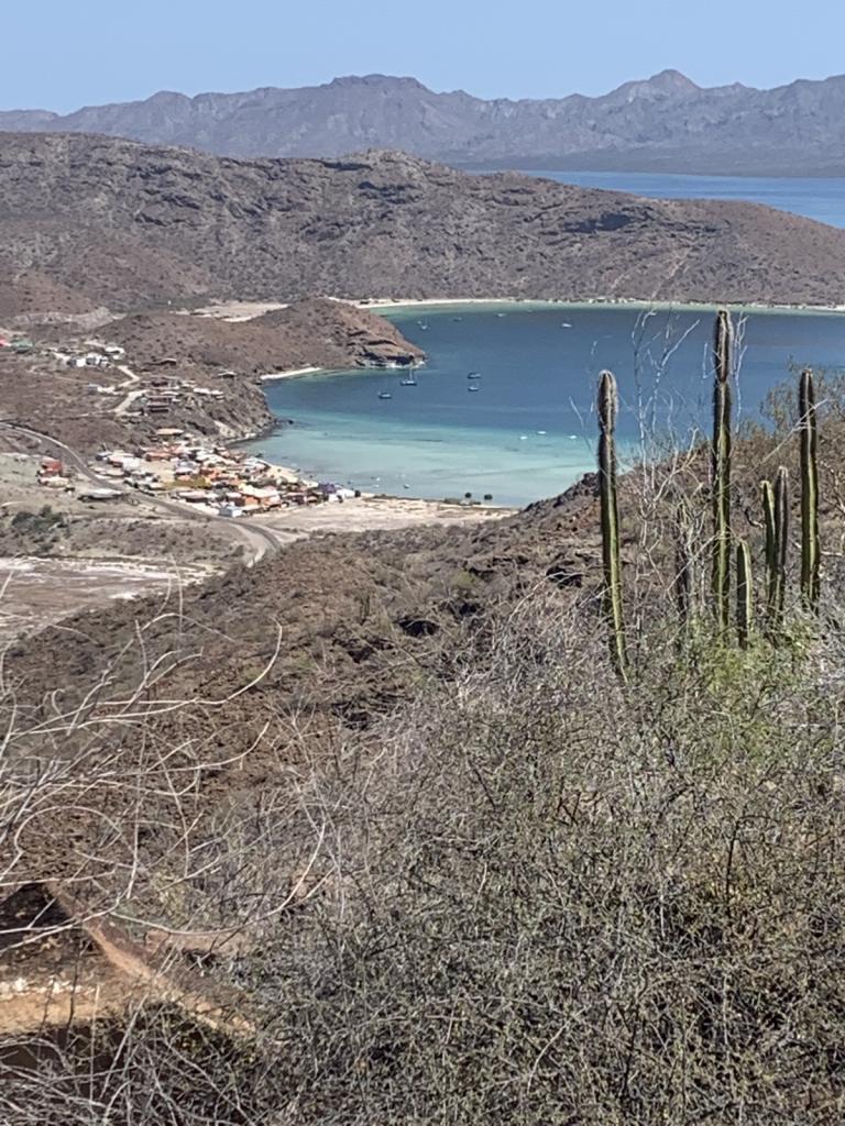
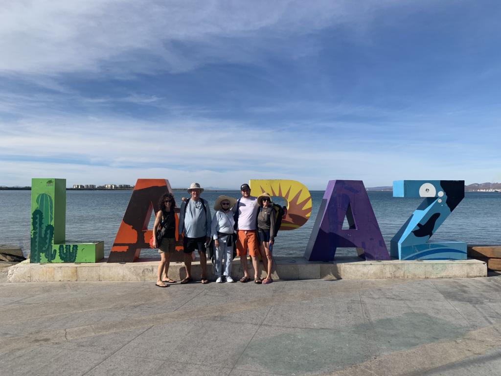
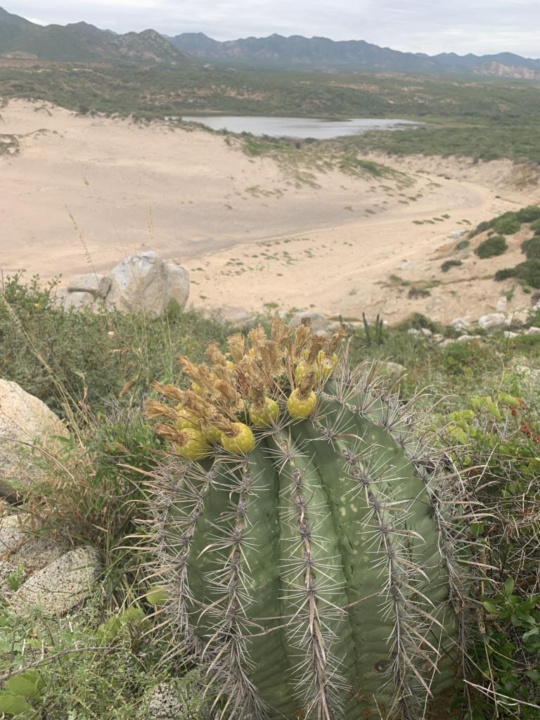
Visited the islands outside La Paz after leaving that great city for the second time
5 Photos
Created 30 March 2022
|
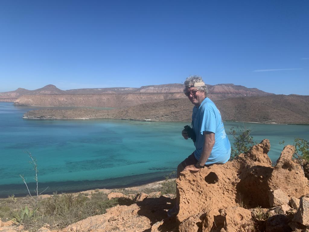 |
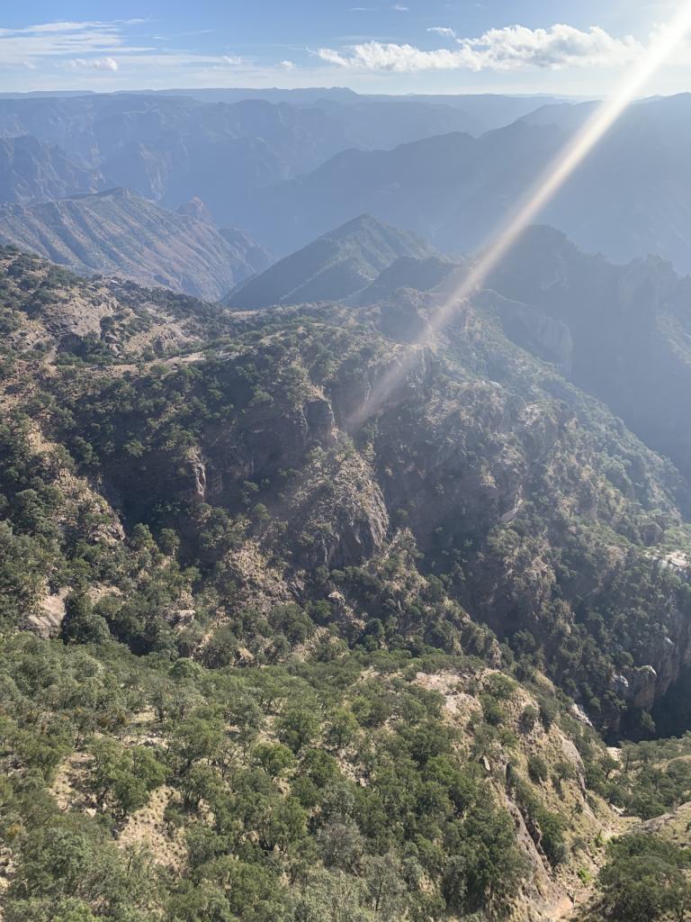
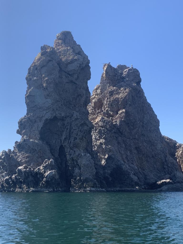
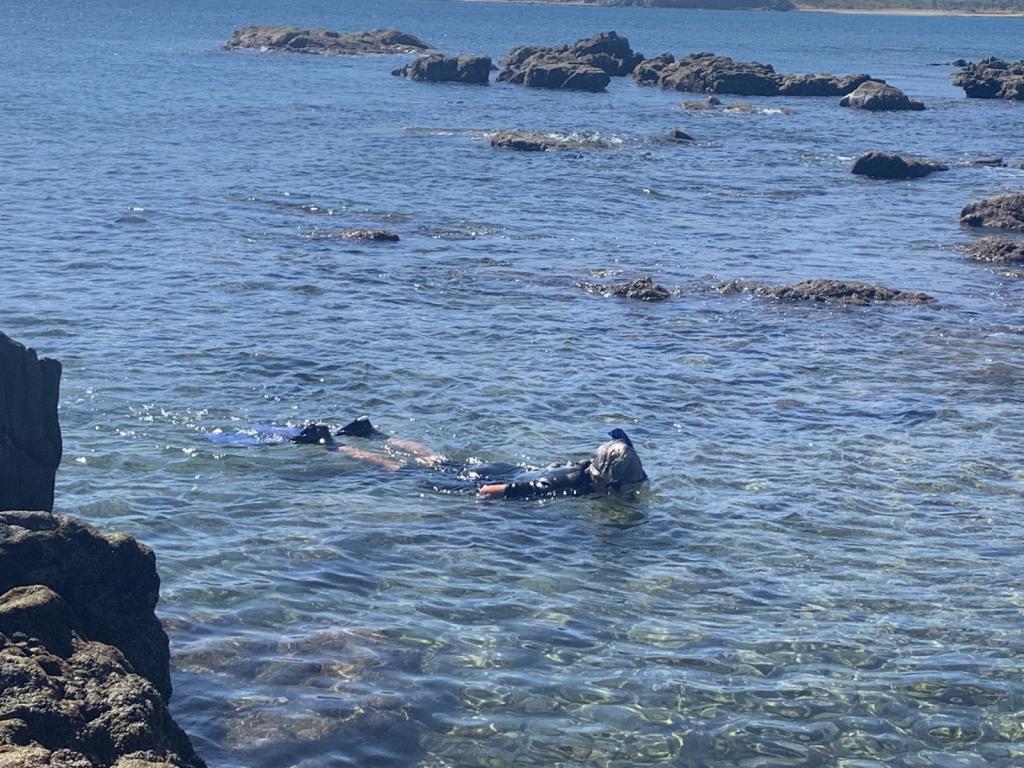
National Park of two islands (Espiritu Santo and Partida) very close to La Paz. Beautiful hiking and snorkeling.
6 Photos
Created 28 January 2022
|
 |
 |
 |
 |
 |
 |
 |
 |
 |
 |
 |
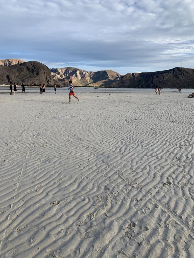
Photos of the Powell River area and just prior to Desolation Sound proper
5 Photos
Created 29 July 2017
|
 |
Shots from the trip up and back and in the Inlet
6 Photos
Created 29 July 2017
|
 |
 |
 |
Various photos along the way
3 Photos
Created 18 May 2017
|
 |
Shots of the Strait and Bowen Island activities
4 Photos
Created 12 May 2017
|
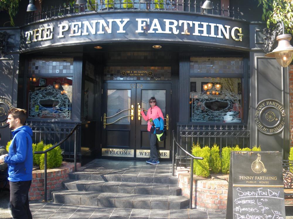 |
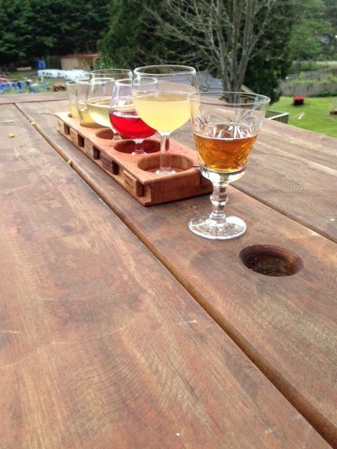
Places we've eaten or had a drink along the way that we enjoyed
7 Photos
Created 12 May 2017
|
 |
 |
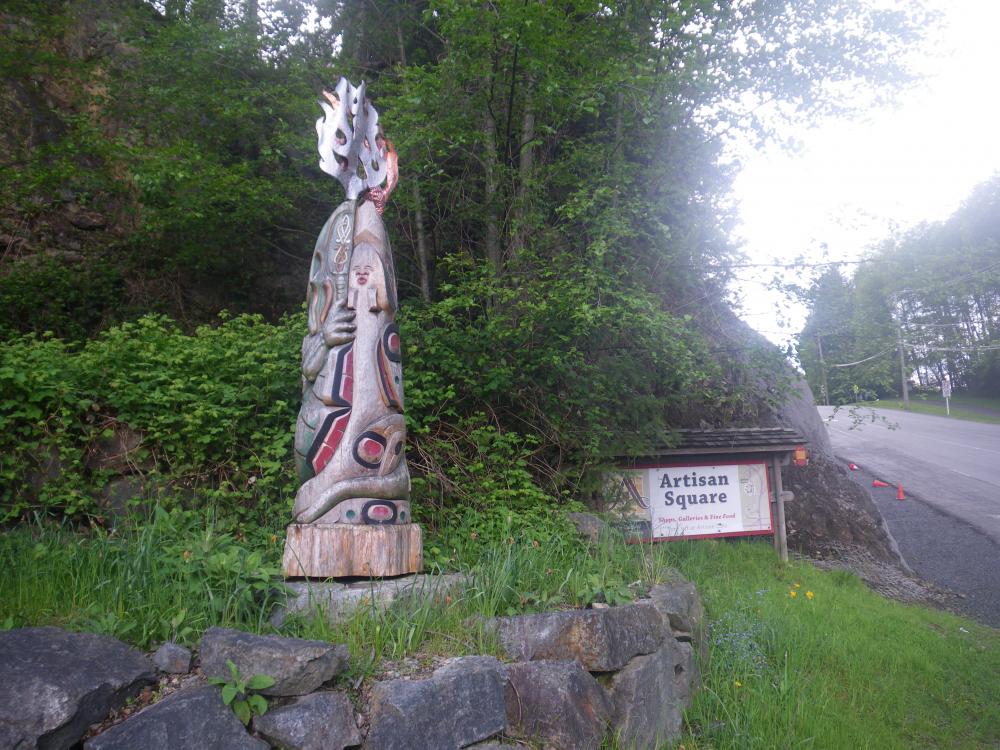
Boats and other vehicles or mechanical items I've seen along the way that I thought were cool or looked very nice
5 Photos
Created 12 May 2017
|
 |
 |
Photos of the boat and boat projects
9 Photos
Created 27 April 2017
|
Who: Ron & Kirsten Risden
Port: Seattle