Cruising on Just Lucky
The travels of the sailboat Just Lucky and the able crew
16 February 2023
16 February 2023
16 February 2023
12 February 2023
12 February 2023
12 February 2023
12 February 2023
21 January 2023
11 January 2023
02 April 2022
02 April 2022
02 April 2022
30 March 2022
30 March 2022
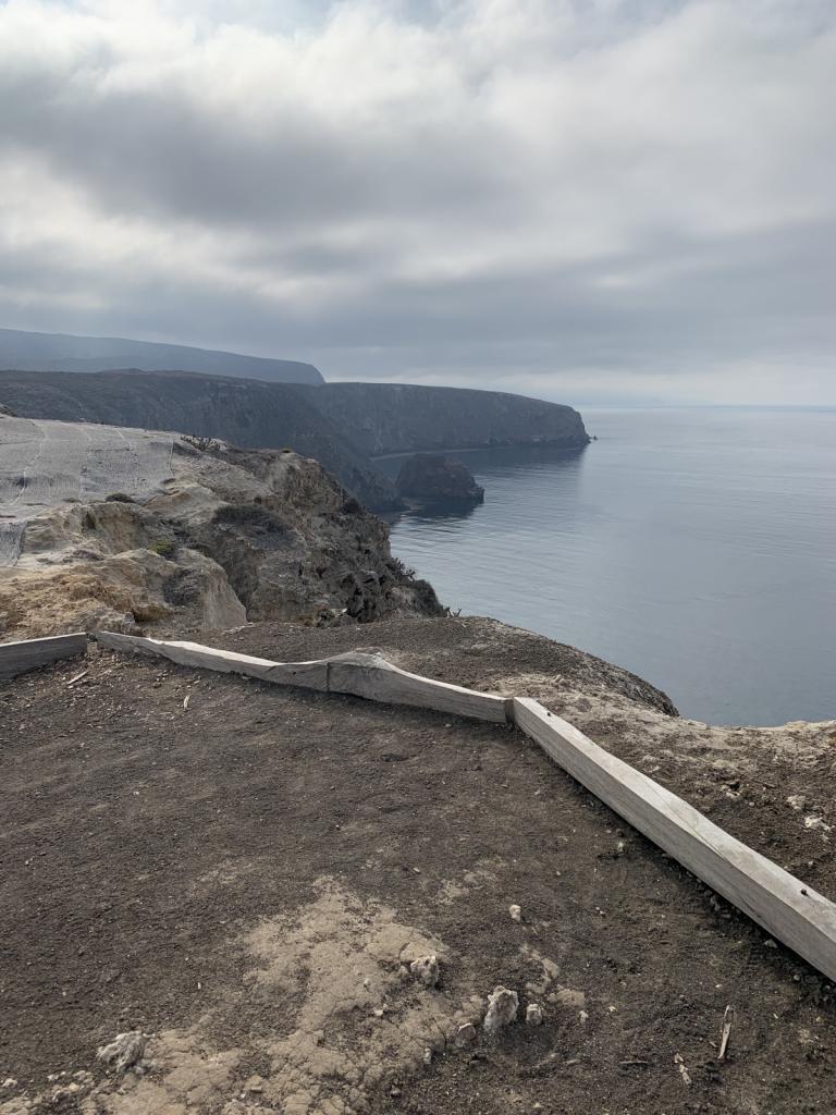
30 March 2022 | Above Ensenada Grande
28 January 2022
17 December 2021
17 December 2021
17 December 2021
16 December 2021
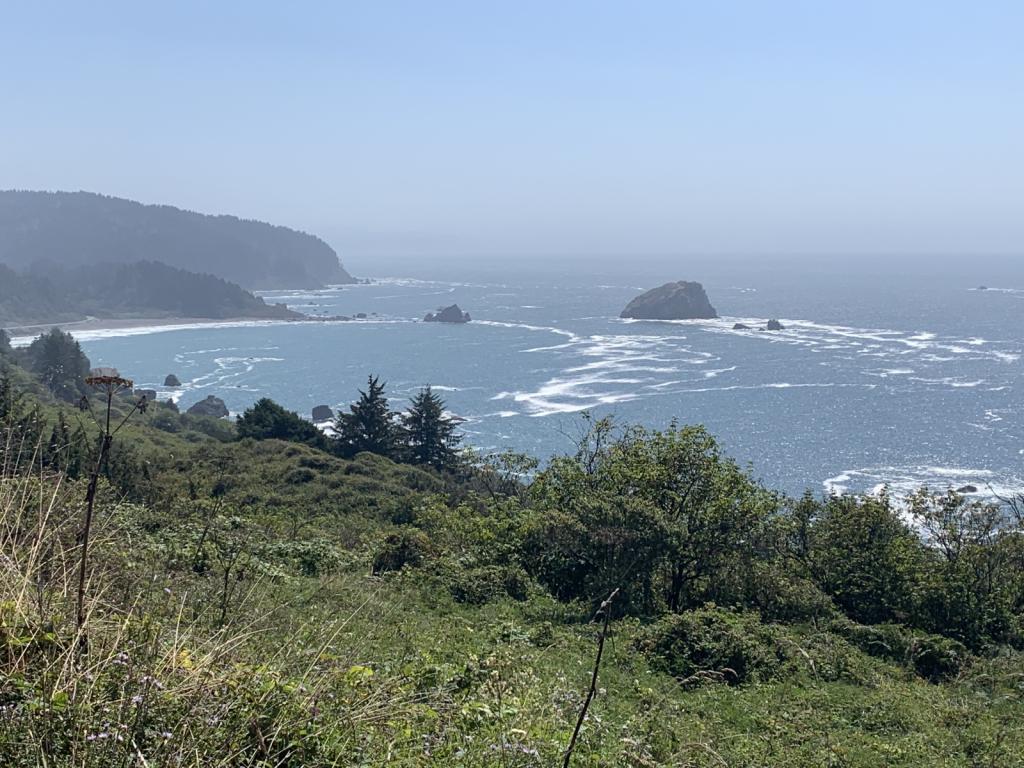
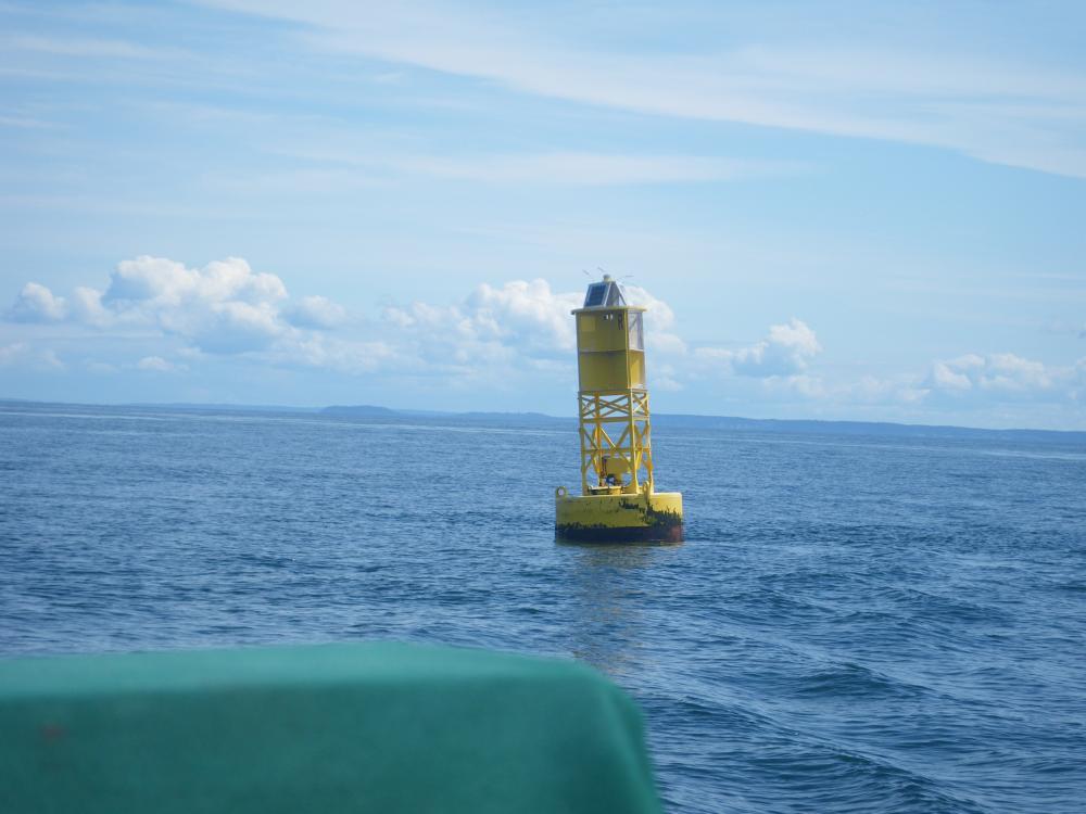
Dixon Entrance / Foggy Bay 7/27/2017
29 July 2017 | Dixon Entrance / Foggy Bay
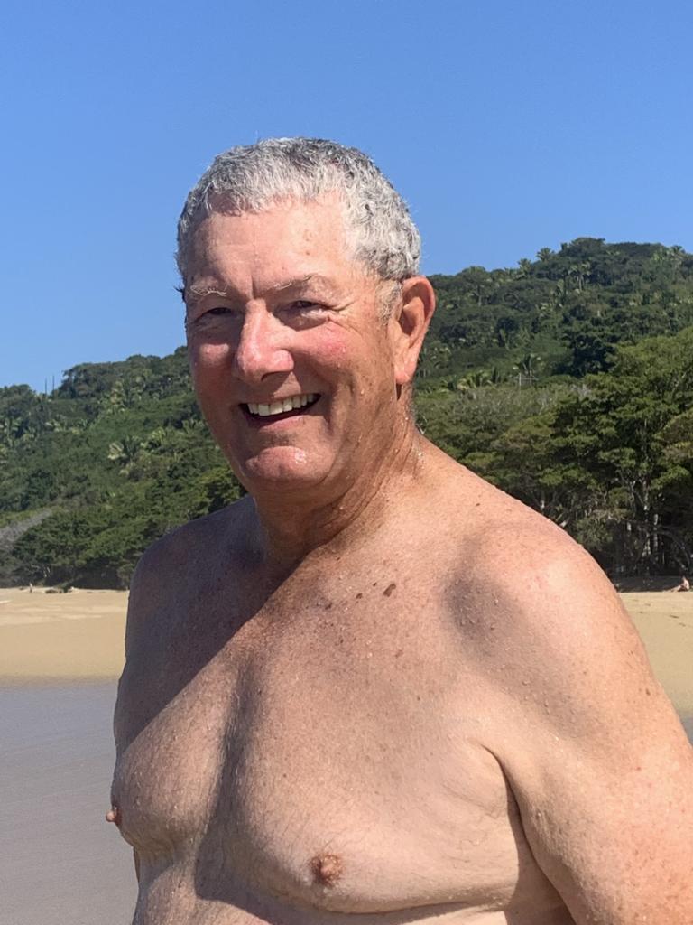
Ron
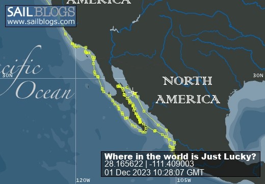
Our route and current location: [Note - I forgot to turn on tracking for a while - the track is discontinuous - picks up just outside of Prince Rupert]
https://share.garmin.com/RonRisden
For those following along at home - and at work - the Sail Blog app is just a straight line, giving our anchored locations - where we end for the day. The Garmin track linked above, which starts in Powell River, gives a fairly continuous track of our travels; showing the ins and outs (and backtracking) we are doing. Also you will notice that the dates of the writing may seem a little off. Entries get written when there is a good internet connection and may reflect that date. We will try to start putting the date(s) we are at a specific location into the heading.
Dixon Entrance is the large opening in the chain of islands and land masses that make up the Inside Passage. It is approximately 50 by 50 miles in size, but most cruisers cross at the eastern side, about 20 miles for the trip. It marks the border waters between Canada and the US; is one of the main gateways to Haida Gwaii (formerly the Queen Charlotte Islands) which lie off shore of BC by about 50 miles; and is one of the larger entrances north into the Bay of Alaska. The northern end of the Haida Gwaii islands is open to the ocean and large waves and strong winds can enter into Dixon Entrance via this path. Cruisers wait at Prince Rupert as well as a few other places for a favorable weather window before attempting to cross the Entrance. For most cruisers getting to Ketchikan is a two day crossing, as the total distance from Prince Rupert to Ketchikan is about 90 miles. We were waiting for a good report and upon getting one got the boat organized to leave.
Generally when we do a larger passage where there is the possibility of more intense weather, we do things a little differently than just getting to the next point. Sometimes we tow the dinghy behind us and occasionally with the motor on, but not when doing a serious crossing. The outboard for the dinghy is stored on the back rail of the boat on an outboard support and the dinghy is brought up onto the deck. We flip the dinghy upside down and tie it off on the deck. We then put 'jacklines' on the boat. These web lines run from the bow to the stern and allow us to tie into them if we have to venture out of the cockpit to attend to any items and the weather is bad. We also have our tethers ready to go which are the short lines that fasten us to the jacklines. So with our trip all planned out and the weather window favorable we left at 5:45 am to make the most of the light in case we needed it. True to form for our other big crossings, the winds were very light and the swell minimal. Fine by us; we made the @ 60 nautical mile trip in @ 10 hours and dropped anchor in Foggy Bay at 3:50 in the afternoon.
Foggy Bay is an unusual anchorage in the US, in that the Customs and Border Patrol knows you are there. Not because they can see you (we don't think, but really we don't know), but because they allow cruisers to anchor there overnight due to the length of the trip. Remember, we are now in the US and have not cleared into the country, not an ordinary situation. The process is that you call CBP in Ketchikan from Prince Rupert and give them your info on yourselves and boat and your intended date of stay in Foggy Bay. You can then go to Foggy Bay after the Dixon Entrance crossing and then onto Ketchikan the next day. That is exactly what we did. We were on the dock in Ketchikan by 2:30 and had called CPB just before we got into the harbor. They send an officer down with the information that you provided via the phone to validate it and do the formal clearing in. They have in the recent past, boarded all the boats coming in from Foggy Bay for inspection, but we did not find this to be the case now. After a few formal questions by the CBP agent, we had cleared in without any issues and were officially in Alaska and had transited the BC part of the Inside Passage! Time to celebrate! Off we headed to the laundromat ...
Comments
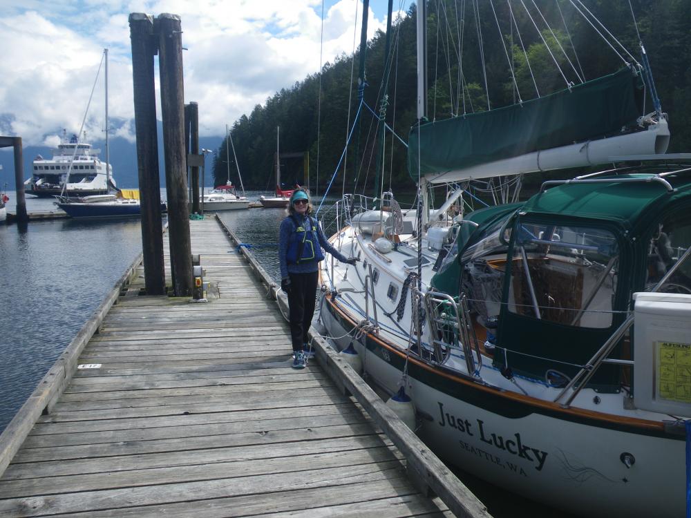
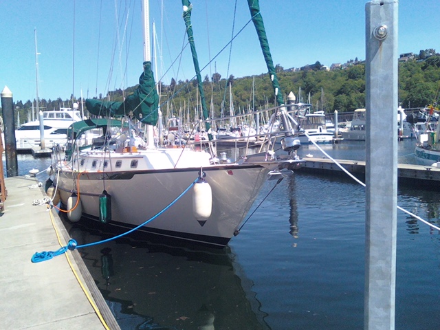
| Vessel Name: | Just Lucky |
| Vessel Make/Model: | Pacific Seacraft 40 |
| Hailing Port: | Seattle |
| Crew: | Ron & Kirsten Risden |
| About: | Retired and seeking new places to travel to and explore. Traveling up the Inside Passage to SE Alaska and exploring the coast along the way. |
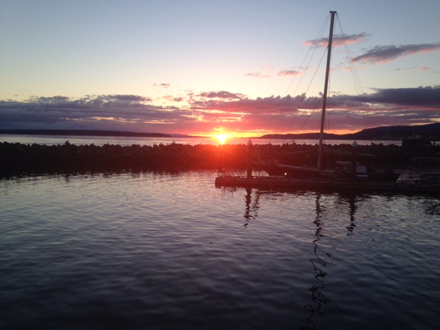
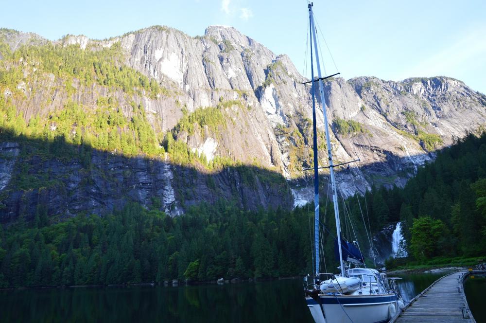
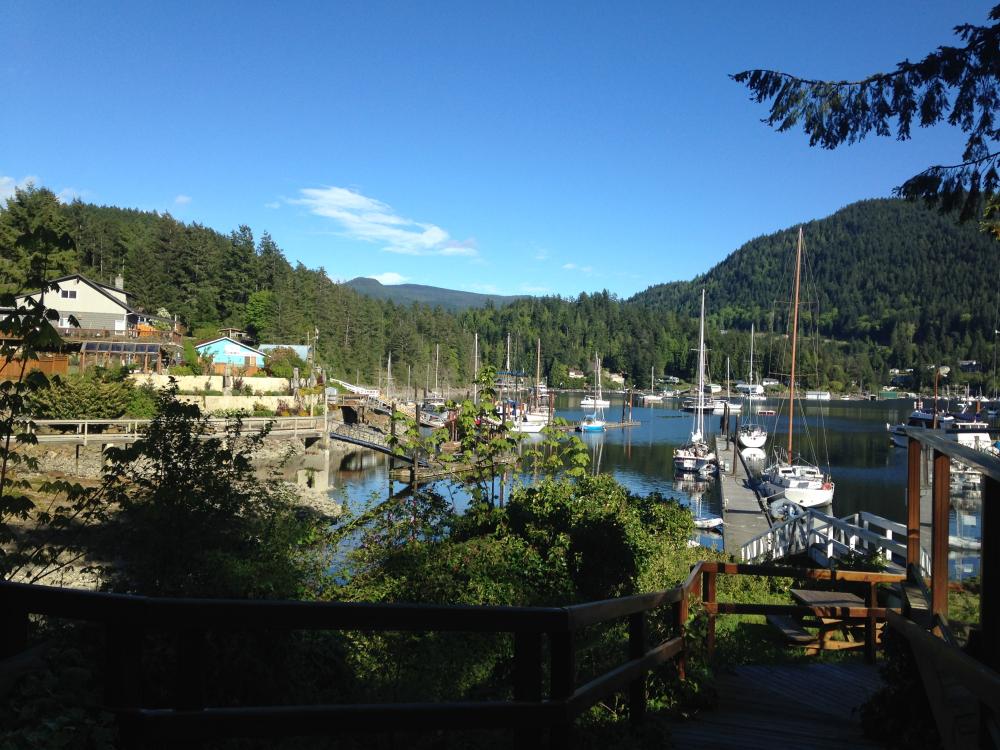
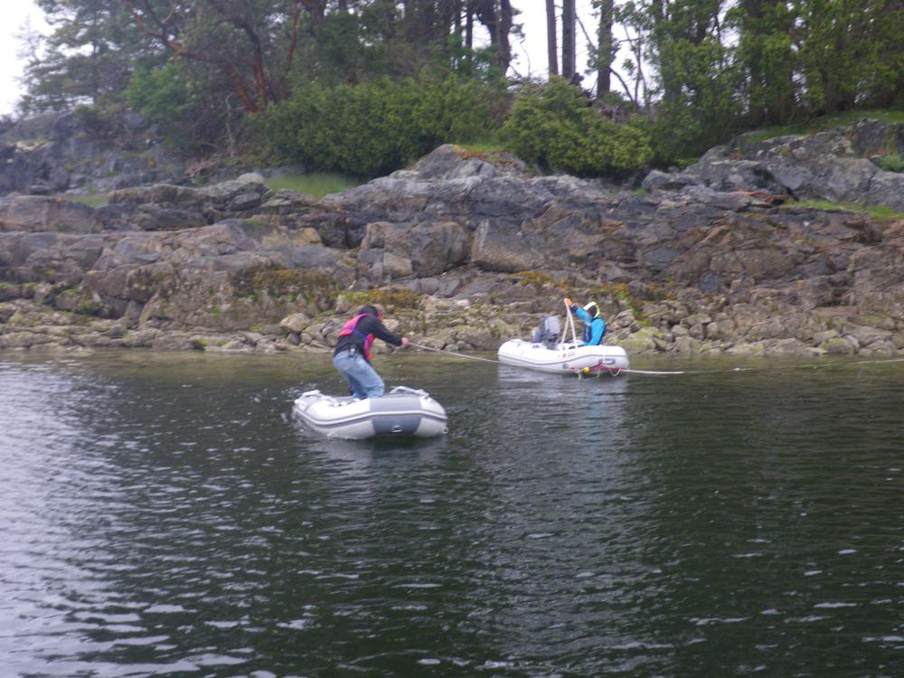
Just Lucky's Photos - Main
 |
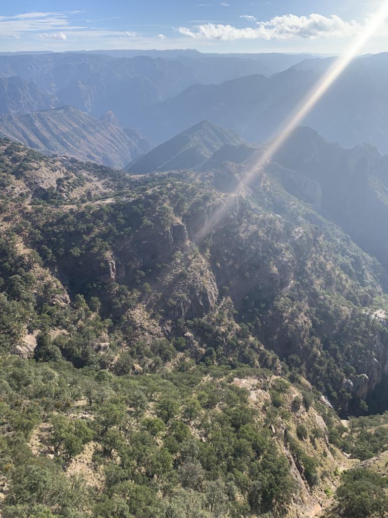
Hiked to an abandoned hotel and saw Roseate Spoonbills in the lagoon. Exciting ride in the dingy - grounded a couple times and then blasted through the standing wave at the river bar
3 Photos
Created 16 February 2023
|
 |
Our turn around point for heading back north.
4 Photos
Created 16 February 2023
|
 |
 |
 |
 |
 |
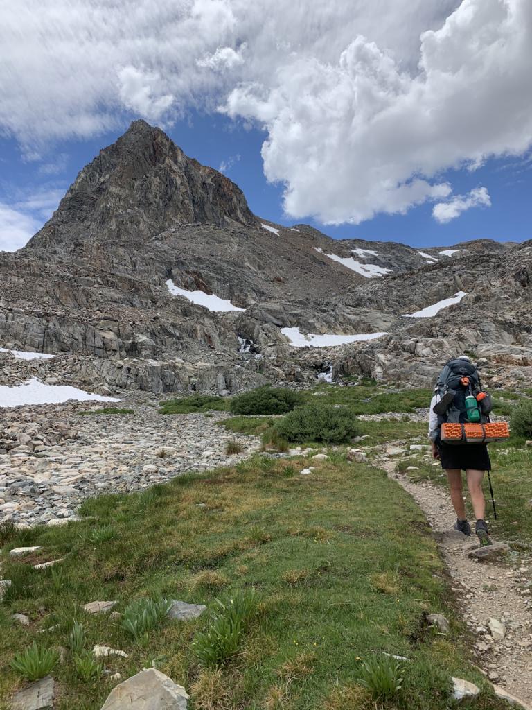 |
Kirsten hiked from Kennedy Meadows South to Ebbett's Pass this summer. She was joined by her good friend Johanna and her sister-in-law Amanita for some of the most beautiful
18 Photos
Created 11 January 2023
|
 |
Getting the boat ready to be "on the hard" for 6 months. A big, hot job.
4 Photos
Created 11 January 2023
|
 |
 |
 |
 |
 |
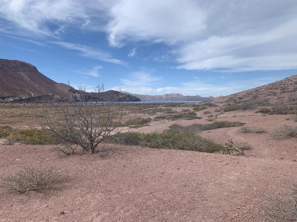 |
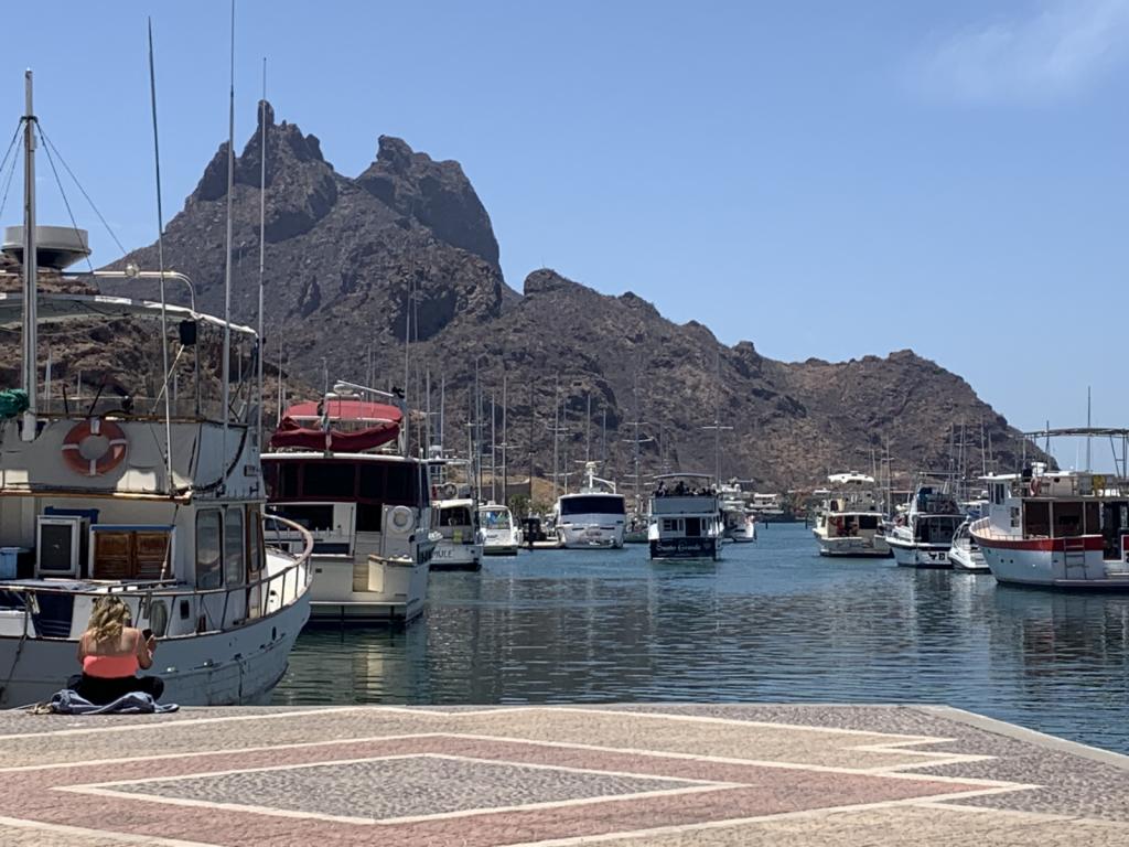
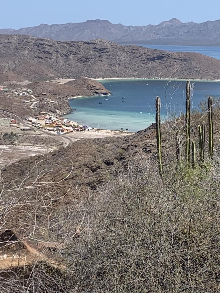
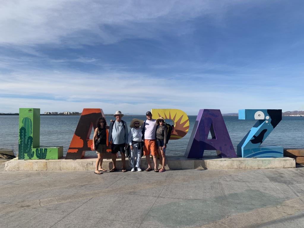
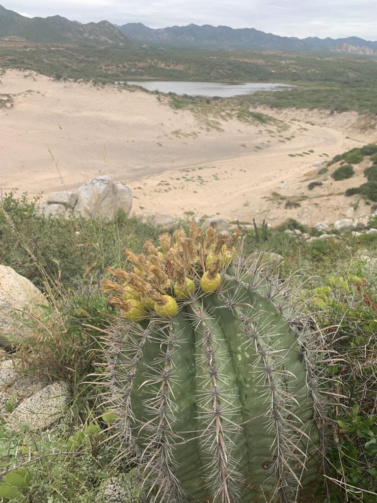
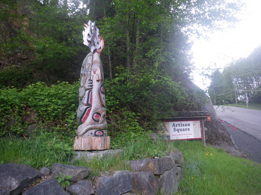
Visited the islands outside La Paz after leaving that great city for the second time
5 Photos
Created 30 March 2022
|
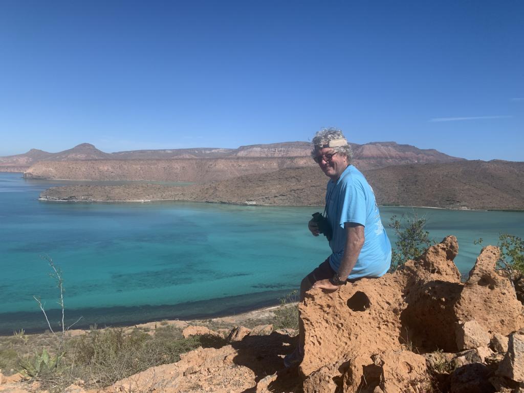 |
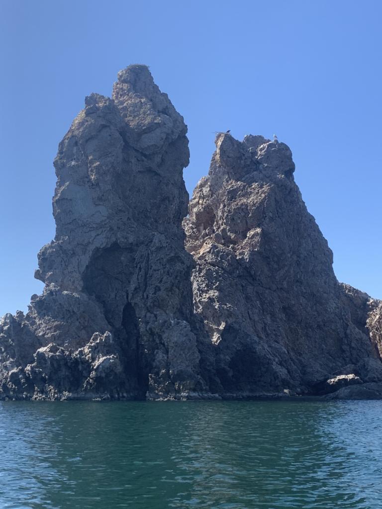
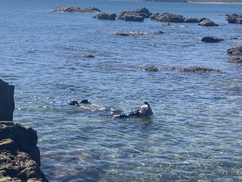
National Park of two islands (Espiritu Santo and Partida) very close to La Paz. Beautiful hiking and snorkeling.
6 Photos
Created 28 January 2022
|
 |
 |
 |
 |
 |
 |
 |
 |
 |
 |
 |
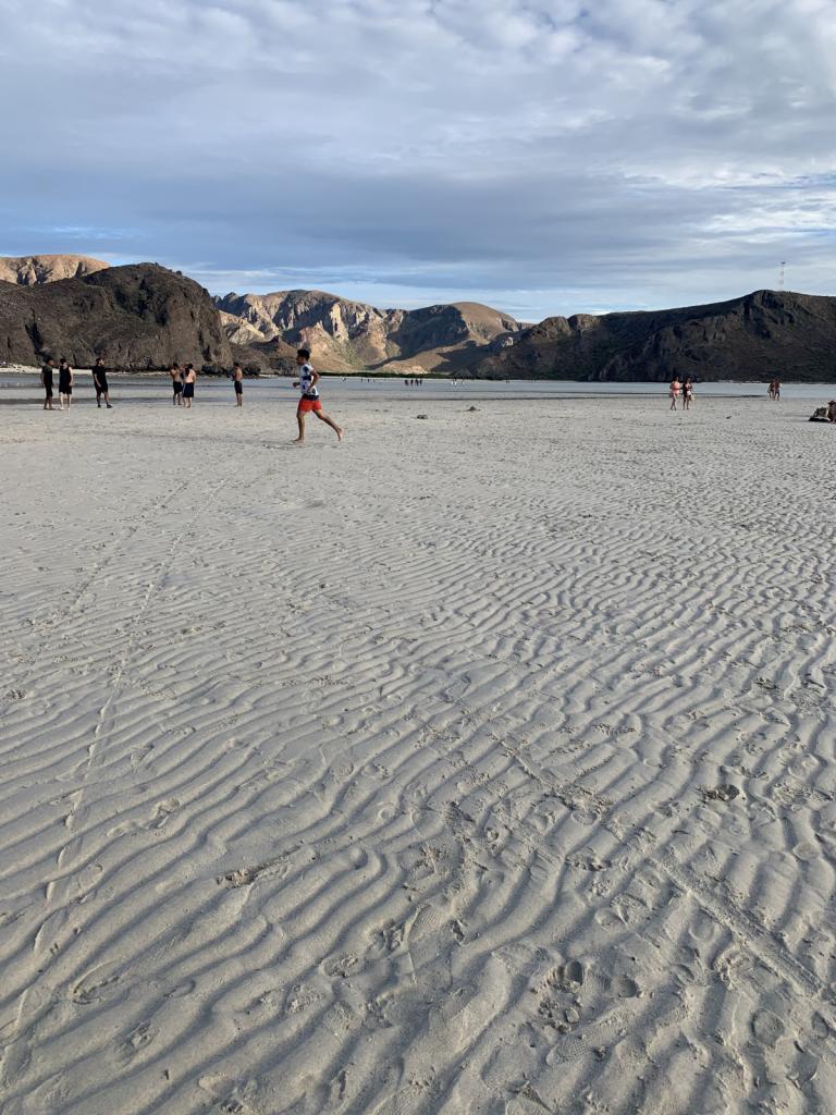
Photos of the Powell River area and just prior to Desolation Sound proper
5 Photos
Created 29 July 2017
|
 |
Shots from the trip up and back and in the Inlet
6 Photos
Created 29 July 2017
|
 |
 |
 |
Various photos along the way
3 Photos
Created 18 May 2017
|
 |
Shots of the Strait and Bowen Island activities
4 Photos
Created 12 May 2017
|
 |
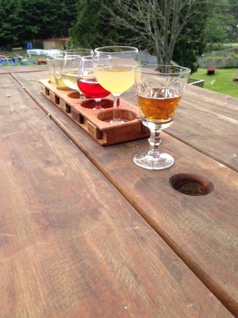
Places we've eaten or had a drink along the way that we enjoyed
7 Photos
Created 12 May 2017
|
 |
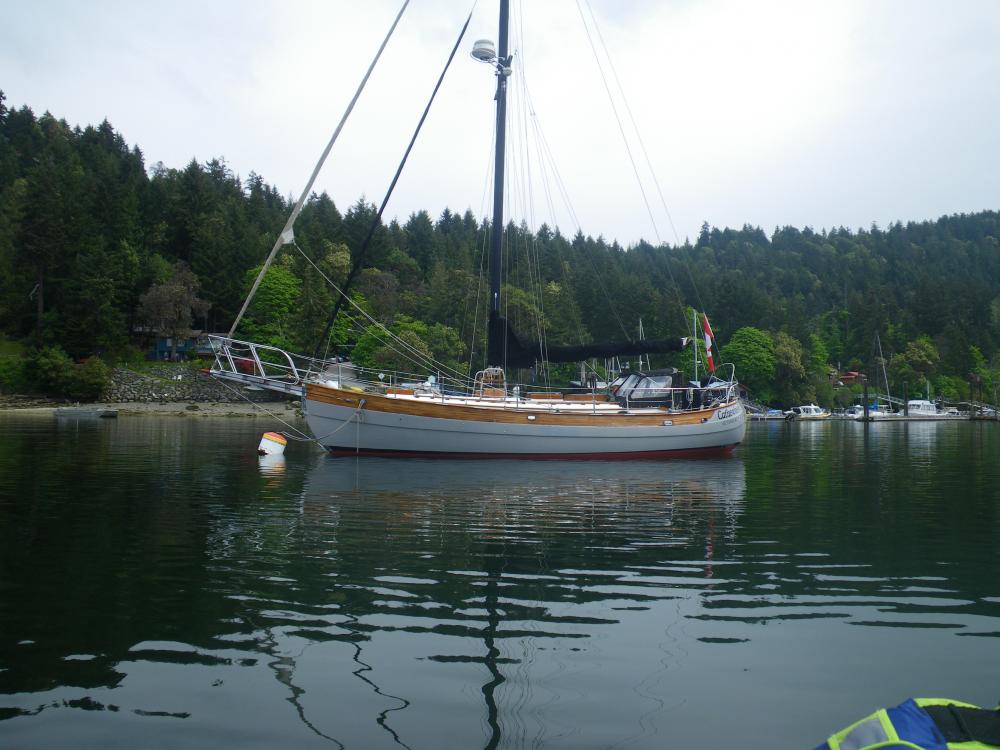 |
Boats and other vehicles or mechanical items I've seen along the way that I thought were cool or looked very nice
5 Photos
Created 12 May 2017
|
 |
 |
Photos of the boat and boat projects
9 Photos
Created 27 April 2017
|
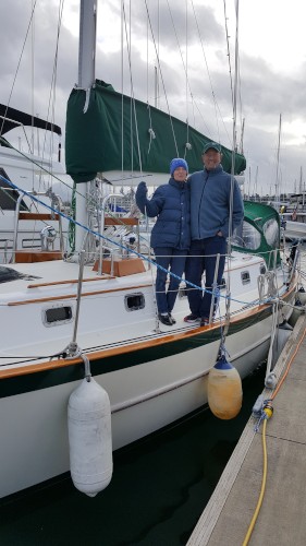
Who: Ron & Kirsten Risden
Port: Seattle