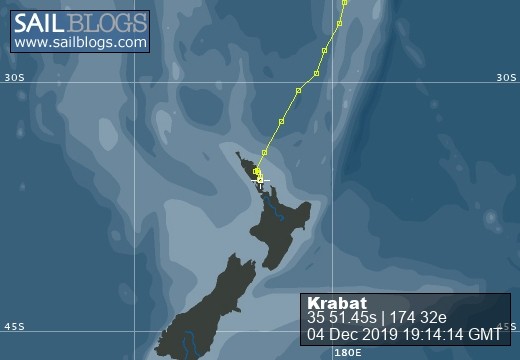
The adventurers of Krabat
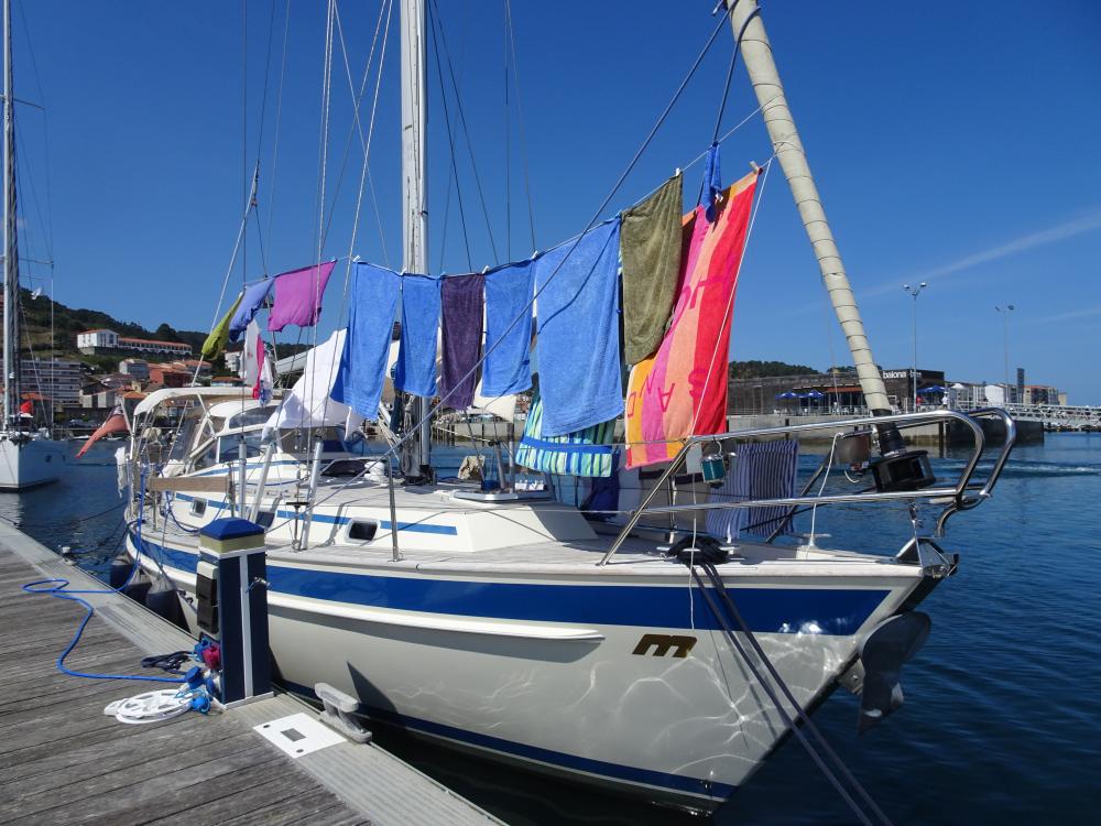
Call Sign: 2AHU8 MMSI: 235 059 775 Registration Number: 922355
11 January 2020
08 November 2019
08 October 2019
05 October 2019
26 August 2019
18 August 2019
22 July 2019
19 July 2019
05 July 2019
03 July 2019
28 May 2019
10 May 2019
06 May 2019
28 April 2019
24 April 2019
21 April 2019
17 April 2019
05 April 2019
27 March 2019
22 March 2019
La Palma and more boat problems!!!!!!!
29 September 2017
MS
We arrived at Santa Cruz, La Palma after a 2 day/2 night sail from Madeira.
We had a good sail the first 24 hours but had a 2 metre swell on the beam (side of the boat), so in nautical terms it was a bit of a lumpy sea! Not only does the boat heel but the swell knocks the boat making it more difficult down below when you're trying to make a cup of tea, get a meal etc. I must stress that we were in no danger it just wasn't comfortable but we were making good speed.
We had obtained a permit in Madeira to visit the Portuguese Salvegem Islands which were virtually on passage and 80 miles from La Palma. The islands are a protected nature reserve but you are allowed to go ashore for a guided tour from one of the resident wardens. However upon arrival, despite the islands supposedly unique flora and fauna, we decided to give them a miss and carry on to La Palma as there was little protection from the swell in the bay.
Our change in course made for a much more comfortable sail as the wind and swell were now from behind. In fact the apparent wind was not enough to keep up a sensible speed so we eventually gave in and put the engine on. Such is sailing!
However for some reason our plotter lost its waypoint (position on chart where we were heading), the AIS (automatic identification system) and the GPS fix.
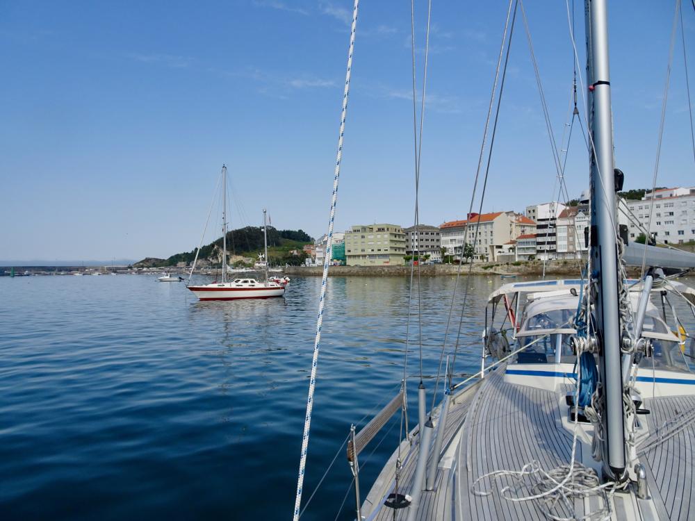
Bill had to reboot the system twice to get it working again and we arrived the next day in Santa Cruz, La Palma without further ado.
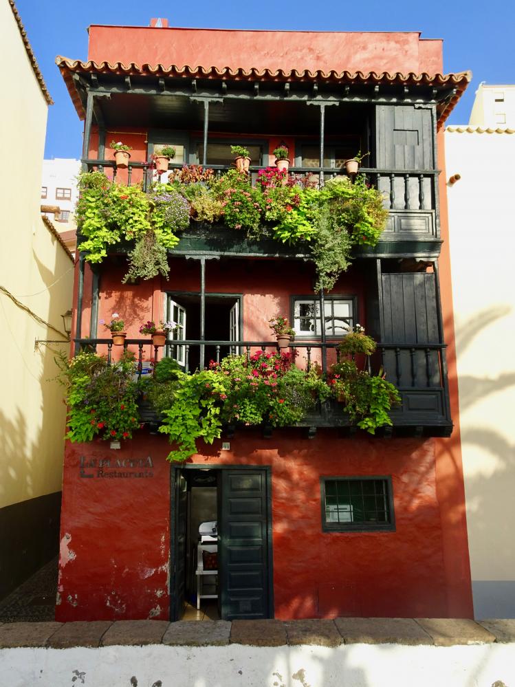
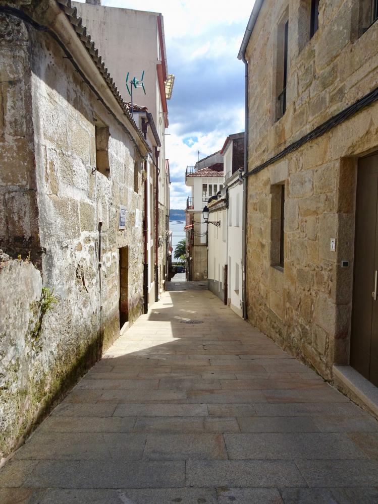
I think after being spoilt with the beauty of Funchal, I was initially a little disappointed with Santa Cruz, but once away from the marina, Santa Cruz had its own charm and we both came to like it very much. Despite frequent visits from cruise ships, Santa Cruz doesn't feel too touristy and has kept many of its traditional buildings. Santa Cruz has invested heavily in making a sandy beach (black sand) but there was no lazing around for us as we hired a car for the next five days.
Like all the Canary Islands, La Palma is volcanic and being one of the younger islands, volcanic activity is still prevalent . In fact it was predicted that the next eruption would be between 2015 and 2025.
In the south of the island we visited Volcan Teneguia (erupted 1971) and Volcanic San Antonio (erupted 1943). The landscape is very black and barren and you can see where the lava flowed towards the sea. Amazingly pine trees have started to root and grapes are grown on the blackened slopes nearby.
In contrast the oldest crater Caldera de Tabriente forms the massive
mountain range with the mountains covered in pine trees, giant ferns and other vegetation making La Palma the greenest Canary Island.
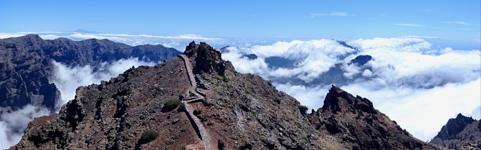
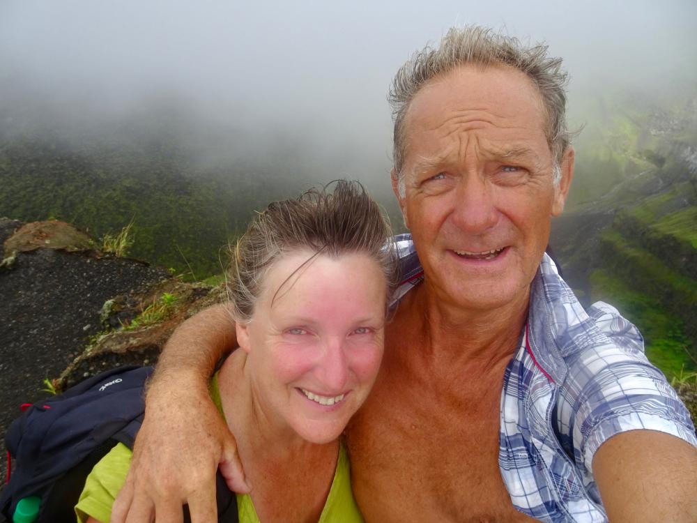
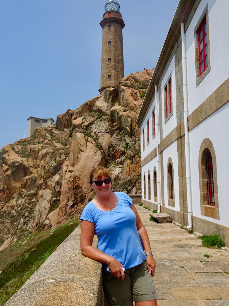
A road winds all the way up to the highest peak, Pico Muchachos (2426 metres) which took us over an hour to drive up, to walk along the crater edge. We were way above the clouds and walked past the huge telescopes of the International Astrophysical Observatory.
We did allow ourselves one day on the beach to recover from a particularly arduous walk the day before. I just hope all this walking is doing us good as it certainly wears us out, head hits the pillow and we're out like a light!
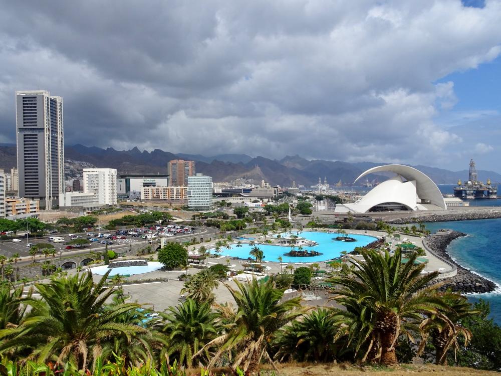
After a week it was time to move on to Tenerife where we will join the Jimmy Cornell rally from the 17th Oct. We sailed overnight to Tenerife and guess what? Our plotter started playing up again but it seemed to be getting worse.
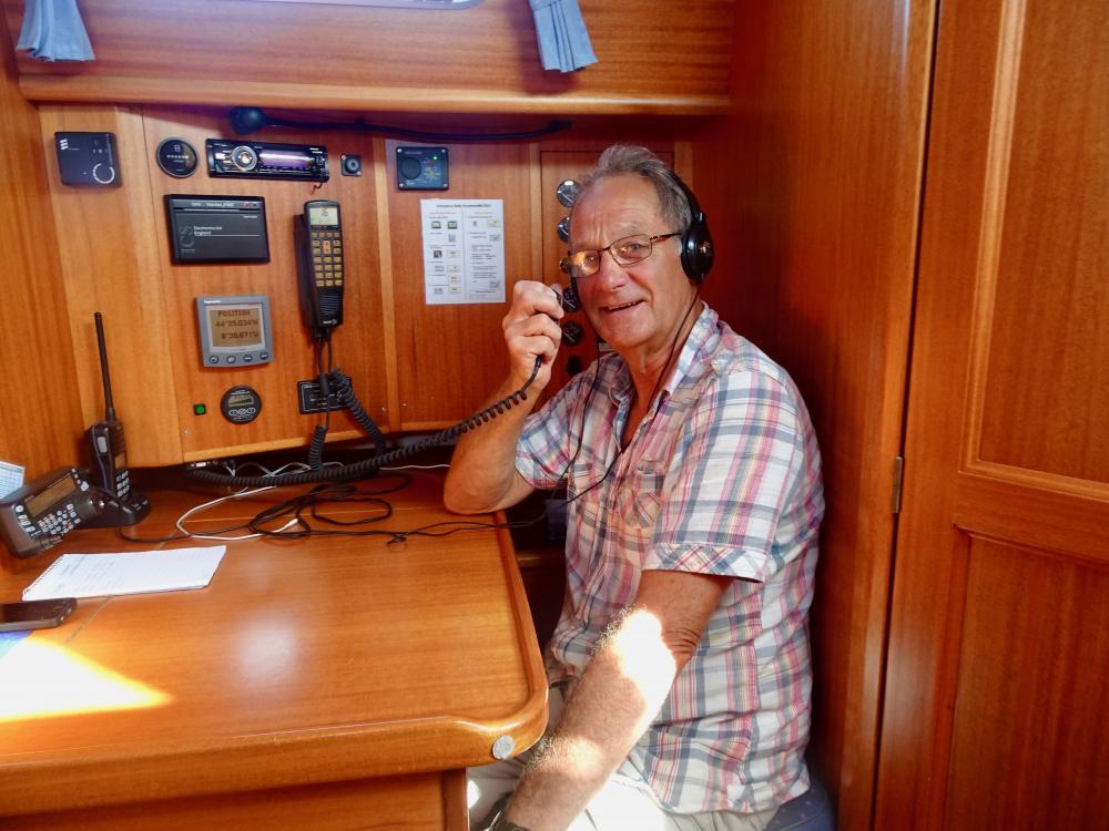
Now in Tenerife we got straight onto the phone and got a Raymarine engineer to come and have a look. Good job we arrived early as the engineer has had to order a new GPS module which will take 3 weeks to arrive.
Only just in time as the rally sets sail to Cape Verde from 26th Oct.
As you can imagine the Skipper is not very happy with our new plotter. He has just installed a back-up GPS system at great expense in case the same scenario should ever happen again. Hey oh, that's boats for you!
We fly home 5th Oct returning to Tenerife on 17th Oct so this will be my last post until then. Really looking forward to seeing family and friends again.
We had a good sail the first 24 hours but had a 2 metre swell on the beam (side of the boat), so in nautical terms it was a bit of a lumpy sea! Not only does the boat heel but the swell knocks the boat making it more difficult down below when you're trying to make a cup of tea, get a meal etc. I must stress that we were in no danger it just wasn't comfortable but we were making good speed.
We had obtained a permit in Madeira to visit the Portuguese Salvegem Islands which were virtually on passage and 80 miles from La Palma. The islands are a protected nature reserve but you are allowed to go ashore for a guided tour from one of the resident wardens. However upon arrival, despite the islands supposedly unique flora and fauna, we decided to give them a miss and carry on to La Palma as there was little protection from the swell in the bay.
Our change in course made for a much more comfortable sail as the wind and swell were now from behind. In fact the apparent wind was not enough to keep up a sensible speed so we eventually gave in and put the engine on. Such is sailing!
However for some reason our plotter lost its waypoint (position on chart where we were heading), the AIS (automatic identification system) and the GPS fix.
Bill had to reboot the system twice to get it working again and we arrived the next day in Santa Cruz, La Palma without further ado.
I think after being spoilt with the beauty of Funchal, I was initially a little disappointed with Santa Cruz, but once away from the marina, Santa Cruz had its own charm and we both came to like it very much. Despite frequent visits from cruise ships, Santa Cruz doesn't feel too touristy and has kept many of its traditional buildings. Santa Cruz has invested heavily in making a sandy beach (black sand) but there was no lazing around for us as we hired a car for the next five days.
Like all the Canary Islands, La Palma is volcanic and being one of the younger islands, volcanic activity is still prevalent . In fact it was predicted that the next eruption would be between 2015 and 2025.
In the south of the island we visited Volcan Teneguia (erupted 1971) and Volcanic San Antonio (erupted 1943). The landscape is very black and barren and you can see where the lava flowed towards the sea. Amazingly pine trees have started to root and grapes are grown on the blackened slopes nearby.
In contrast the oldest crater Caldera de Tabriente forms the massive
mountain range with the mountains covered in pine trees, giant ferns and other vegetation making La Palma the greenest Canary Island.
A road winds all the way up to the highest peak, Pico Muchachos (2426 metres) which took us over an hour to drive up, to walk along the crater edge. We were way above the clouds and walked past the huge telescopes of the International Astrophysical Observatory.
We did allow ourselves one day on the beach to recover from a particularly arduous walk the day before. I just hope all this walking is doing us good as it certainly wears us out, head hits the pillow and we're out like a light!
After a week it was time to move on to Tenerife where we will join the Jimmy Cornell rally from the 17th Oct. We sailed overnight to Tenerife and guess what? Our plotter started playing up again but it seemed to be getting worse.
Now in Tenerife we got straight onto the phone and got a Raymarine engineer to come and have a look. Good job we arrived early as the engineer has had to order a new GPS module which will take 3 weeks to arrive.
Only just in time as the rally sets sail to Cape Verde from 26th Oct.
As you can imagine the Skipper is not very happy with our new plotter. He has just installed a back-up GPS system at great expense in case the same scenario should ever happen again. Hey oh, that's boats for you!
We fly home 5th Oct returning to Tenerife on 17th Oct so this will be my last post until then. Really looking forward to seeing family and friends again.
Comments
| Vessel Name: | Krabat |
| Vessel Make/Model: | Malö 39 |
| Hailing Port: | Poole UK |
| Crew: | Bill Tee & Moira Shaw |
| About: | Mad people! |
| Extra: |
Krabat's Photos - Main
 |
 |
 |
 |
 |
 |
 |
 |
 |
 |
 |
 |
 |
 |
 |
 |
 |
 |
 |
 |
 |
 |
 |
 |
 |
 |
 |
 |
 |
 |
 |
 |
 |
 |
 |
 |
 |
 |
10 Photos
Created 7 February 2018
|
 |
 |
 |
 |
 |
 |
 |
 |
 |
 |
 |
11 Photos
Created 13 November 2017
|
 |
 |
13 Photos
Created 13 November 2017
|
 |
 |
 |
 |
 |
 |
28 Photos
Created 14 September 2017
|
 |
 |
 |
 |
 |
 |
 |
 |
 |
 |
 |
 |
 |
 |
 |
 |
 |
 |
 |
 |
 |
 |
 |
 |
 |
 |
Krabat anchored Herm, Channel Islands
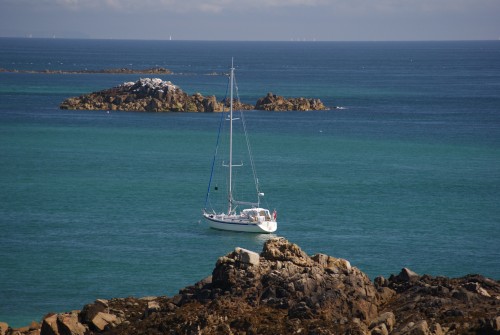
Who: Bill Tee & Moira Shaw
Port: Poole UK