
LeuCat Adventures
Join us in sharing our adventures as we sail around the world. NEW!!************************************************************************* GET A COPY OF OUR TECHNO-TIPS DOCUMENTS--JUST CLICK ON THEM UNDER THE "FAVORITES" HEADING ON THE RIGHT

24 September 2017
30 August 2017 | San Francisco, CA
07 July 2017
02 July 2017 | Simpson Bay Marina, Cole Bay, Sint Maarten
01 July 2017 | Simpson Bay Marina, Cole Bay, Sint Maarten
30 June 2017 | Simpson Bay Marina, Cole Bay, Sint Maarten
29 June 2017 | Simpson Bay Marina, Cole Bay, Sint Maarten
28 June 2017 | Simpson Bay Marina, Cole Bay, Sint Maarten
27 June 2017 | Simpson Bay Marina, Cole Bay, Sint Maarten
26 June 2017 | Simpson Bay Marina, Cole Bay, Sint Maarten
25 June 2017 | Simpson Bay Marina, Cole Bay, Sint Maarten
24 June 2017
24 June 2017 | Simpson Bay Marina, Cole Bay, Sint Maarten
22 June 2017 | Simpson Bay Marina, Cole Bay, Sint Maarten
21 June 2017 | Simpson Bay Marina, Cole Bay, Sint Maarten
20 June 2017 | Simpson Bay Marina, Cole Bay, Sint Maarten
18 June 2017 | Simpson Bay Marina, Cole Bay, Sint Maarten
17 June 2017 | Simpson Bay Marina, Cole Bay, Sint Maarten
16 June 2017 | Simpson Bay Marina, Cole Bay, Sint Maarten
15 June 2017 | Simpson Bay Marina, Cole Bay, Sint Maarten
Tidal Current Across The Gulf Of Carpentaria
29 June 2012
I have mentioned a few times in the blog that we are considering sailing a bit south once we pass over the top of Cape York. We have been told that by doing so, we would have a bit smoother ride since the tidal currents are not quite so strong as you cross the gulf. The tidal current flows against the direction we will be sailing and are counter to the direction of the prevailing SE winds. This results in the waves "standing up" and the ride is very lumpy and uncomfortable. The stronger the winds, the worse the ride.
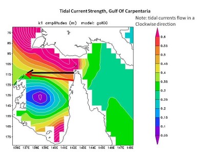
I was doing research on this today and found a very good article that describes the phenomena and presented this figure, which shows how the strength of the tidal surge, as measured by amplitude, varies across the gulf, Torres Strait and the Arafura Sea.
I have drawn two arrows on this figure. The black arrow shows the conventional path that cruisers take to cross the gulf. It shows how they cross through regions of the gulf with the highest tidal strength. The red arrow shows the route we have been advised to take. While it also passes through areas of significant tidal strength, the amplitudes are less than the convention route. Again, the degree of lumpy seas that can form is also a function of wind strength but, given that it is predicted to be blowing between 15 and 20 knots when we cross, I believe we will first head south before attempting the crossing.
Comments
| Vessel Name: | Leu Cat |
| Vessel Make/Model: | Lagoon 440 |
| Hailing Port: | Dana Point, CA |
| Crew: | Mary Margaret and Dave Leu |
| About: | Our goals are to spend the next 10 to 15 years cruising around the world and sharing this adventure with family and friends. |
| Extra: | S/V Leu Cat is Lagoon 440 rigged for blue water sailing. It is 44 feet long with a 25 foot beam |
| Social: |
|
Leu Cat's Photos - (Main)
 |
 |
Wedding and Reception photos April 18, 2015, Yosemite, CA
49 Photos
Created 30 April 2015
|
 |
Here are some pics that I took while visiting w/ my parents in the Galapagos Islands
22 Photos
Created 29 March 2010
|
 |
 |
 |
 |
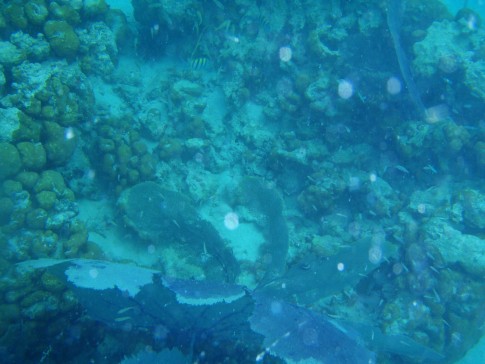 |
Pictures of the sea life in the cut between Little Jost Van Dyke and Green Cay, BVI
30 Photos
Created 17 March 2008
|
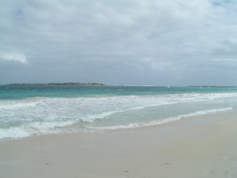 |
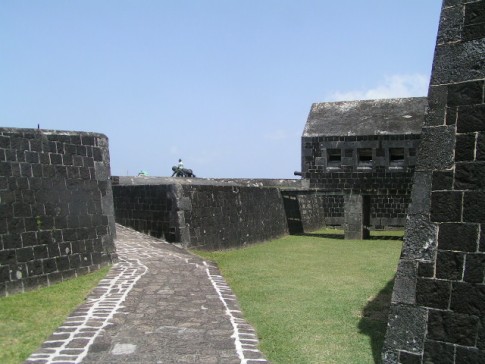
Here are a number of pictures of St. Maarten and the places we visited
36 Photos
Created 21 January 2008
|
 |
Photos of Nanny Cay
6 Photos
Created 11 January 2008
|
 |
Join us as we explore the Spanish, American, and British Virgin Ilsands.
15 Photos
Created 20 October 2007
|
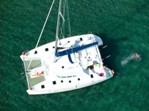 |
To help get you ready to go sailing with us, we wish to introduce you to Leu Cat so you will know what to expect when you get here! Just click on the first photo and then use the "next" button to advance through this slide show.
19 Photos
Created 19 October 2007
|
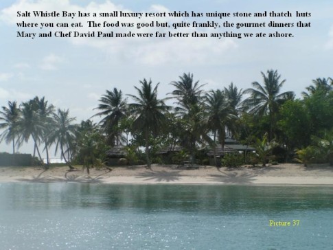 |
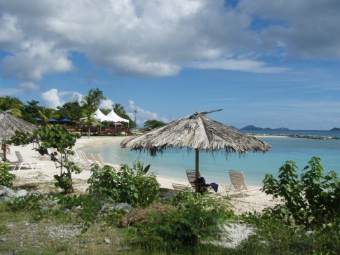
This is a collection of photos documenting our sail through the Windward Islands during May/June 2006 with our son, David Paul.
62 Photos
Created 14 October 2007
|
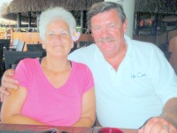
Who: Mary Margaret and Dave Leu
Port: Dana Point, CA
Gallery

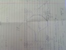
Table of Contents
Favorites
- Get A Copy Of Our Techno Tips Document
- Galley Tips For Cruisers
- Land Travel Tips For Cruisers
- Get A Copy Of Our Yanmar Drive Cone Repair Manual
- Updated Pirate Report
- My Bother Don's and Debbie's Blog
- A Great Sailing Blog
- A remarkable Sail Blog
- Celestial Navigation
- Here is Another Great Sailing Blog
- S/V Totem's Sail Blog
- S/V Infini's Blog Site
SailBlogs Friends


