
LeuCat Adventures
Join us in sharing our adventures as we sail around the world. NEW!!************************************************************************* GET A COPY OF OUR TECHNO-TIPS DOCUMENTS--JUST CLICK ON THEM UNDER THE "FAVORITES" HEADING ON THE RIGHT

24 September 2017
30 August 2017 | San Francisco, CA
07 July 2017
02 July 2017 | Simpson Bay Marina, Cole Bay, Sint Maarten
01 July 2017 | Simpson Bay Marina, Cole Bay, Sint Maarten
30 June 2017 | Simpson Bay Marina, Cole Bay, Sint Maarten
29 June 2017 | Simpson Bay Marina, Cole Bay, Sint Maarten
28 June 2017 | Simpson Bay Marina, Cole Bay, Sint Maarten
27 June 2017 | Simpson Bay Marina, Cole Bay, Sint Maarten
26 June 2017 | Simpson Bay Marina, Cole Bay, Sint Maarten
25 June 2017 | Simpson Bay Marina, Cole Bay, Sint Maarten
24 June 2017
24 June 2017 | Simpson Bay Marina, Cole Bay, Sint Maarten
22 June 2017 | Simpson Bay Marina, Cole Bay, Sint Maarten
21 June 2017 | Simpson Bay Marina, Cole Bay, Sint Maarten
20 June 2017 | Simpson Bay Marina, Cole Bay, Sint Maarten
18 June 2017 | Simpson Bay Marina, Cole Bay, Sint Maarten
17 June 2017 | Simpson Bay Marina, Cole Bay, Sint Maarten
16 June 2017 | Simpson Bay Marina, Cole Bay, Sint Maarten
15 June 2017 | Simpson Bay Marina, Cole Bay, Sint Maarten
Year 5 Day 115 Moving Back To Butterfly Bay
25 May 2012 | Butterfly Bay, Hook Is., AU
Dave/Weather: Ha Ha Ha Ha!!!!!
This morning we watched this massive trough approach and then pass over us. The skies to the west of us were black and ugly. The winds, which had been mild, warm and coming from the east, instantly snapped to the SW and blew 20 to 25 knots. The seas started to build and our very quiet anchorage became like a rolling coaster ride as the short, choppy swells started rolling in. The SE is our exposed side at Stonehaven Anchorage and the winds have their longest fetch when they come from that angle.
It took Mary Margaret only a few minutes to suggest that we move back to Butterfly Bay and the great protection it offers. Thus, in the wind, rain and building seas, we released our mooring lines and headed north to round the top of the island and make it into Butterfly Bay.
It was only a few nm to get there and we arrived in about a half hour. By now the rain had created a white out as our visibility was down to about a ¼ nm. However, thanks to the radar, we knew exactly where we were and as we entered the bay, we could see the shore on each side and the reefs that sneak out into the bay. Thank goodness it was low tide as this made seeing the reefs that much easier to see.
Fighting bullets of up to 35 knots and a torrential downpour and with a determined look on her face, Mary Margaret eased up to the first mooring ball we came to and then held us rock solid on top of it while I grabbed its pennant and threaded our two bow lines through it and secured them to their respective bow cleats. I think it was the best that Mary Margaret has ever done in regard to keeping Leu Cat on station and she did it in the worst imaginable conditions. Yea!!!!!
We sat out the rest of today biding our time by watching a movie, reading and playing cards. As the day progressed, we felt the air getting colder and watched the thermometer drop into the mid and lower 60's. I even put on slippers to keep my feet warm. Brrrrrrrr. As we ready for bed, Mary Margaret is putting on two (not one but two ) heavy blankets. The wet air and the lower temperatures just chill you to the bone.
However, with my new outlook on life that I mentioned last week, I can say that we are having just the most wonderful time here in the Whitsundays. Life just doesn't get better than this
Techno-Tip Of The Week: Be Careful When You Follow The Track You Have Laid Down On Your Chartplotter
I have preached to anyone who will listen not to sail into an unknown anchorage at night by relying on one's GPS chartplotter. There are just too many unknown opportunities for errors. The charts may not be surveyed accurately (a very common occurrence once you get away from the heavily trafficked cruising areas), the survey datum used may be out of date, plus the error from the GPS satellites varies based on the number of satellites your GPS is reading.
A number of people have argued with me on this issue but some have stopped after experiencing firsthand the problems of trusting their chartplotter. A number of other people have said that when they leave an anchorage at night, they follow the tracks they laid down on their chartplotter when they came into the anchorage during the daylight hours. We have done this also but even that makes me nervous and I try to avoid leaving in the dark if at all possible.
I have noticed that when we enter and leave an anchorage a number of times, following the same route, the tracks do not overlay very well. This was very apparent when we were in Musket Cove in Fiji. We came and left that anchorage many, many times and discovered the spread of tracks was much greater than they should have been.
We noticed that again today when we returned to Butterfly Bay from Stonehaven Anchorage. The tracks we laid down when we left Butterfly Bay were now running over reefs along the shore. If we had followed those tracks, we would have end up washed up on the reefs! Originally, the track was right in the middle of the channel between Hayman Island and Hook Island but now, it had mysteriously shifted and was about 500 feet to the south. Wow! I do not know what caused that shift. To confirm that we were where we thought we were, we relied on the radar which was overlaid on top of the chart. It showed that we were in the middle of the channel and our depth gauge tracked well with the reported depths. Whew!
My point in this discourse is to just warn you that unexpected things can occur with your chartplotter and that it is best to use it as a guide and to reply on eyeball navigation. In other words, do not blindly trust what the chartplotter is showing you. If you must rely on something other than your eyes, then turn to your radar as a secondary source of information. Use it in combination with your chartplotter to be a secondary source of information, augmenting your eyesight
Comments
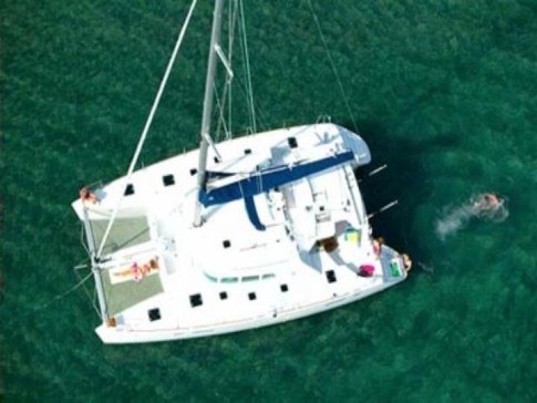
| Vessel Name: | Leu Cat |
| Vessel Make/Model: | Lagoon 440 |
| Hailing Port: | Dana Point, CA |
| Crew: | Mary Margaret and Dave Leu |
| About: | Our goals are to spend the next 10 to 15 years cruising around the world and sharing this adventure with family and friends. |
| Extra: | S/V Leu Cat is Lagoon 440 rigged for blue water sailing. It is 44 feet long with a 25 foot beam |
| Social: |
|
Leu Cat's Photos - (Main)
 |
 |
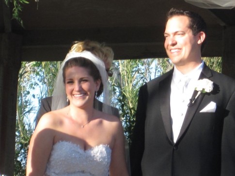
Wedding and Reception photos April 18, 2015, Yosemite, CA
49 Photos
Created 30 April 2015
|
 |
Here are some pics that I took while visiting w/ my parents in the Galapagos Islands
22 Photos
Created 29 March 2010
|
 |
 |
 |
 |
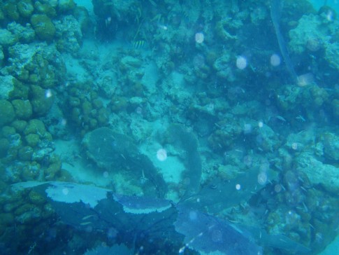 |
Pictures of the sea life in the cut between Little Jost Van Dyke and Green Cay, BVI
30 Photos
Created 17 March 2008
|
 |
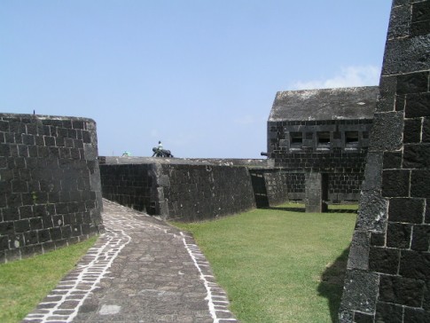
Here are a number of pictures of St. Maarten and the places we visited
36 Photos
Created 21 January 2008
|
 |
Photos of Nanny Cay
6 Photos
Created 11 January 2008
|
 |
Join us as we explore the Spanish, American, and British Virgin Ilsands.
15 Photos
Created 20 October 2007
|
 |
To help get you ready to go sailing with us, we wish to introduce you to Leu Cat so you will know what to expect when you get here! Just click on the first photo and then use the "next" button to advance through this slide show.
19 Photos
Created 19 October 2007
|
 |
This is a collection of photos documenting our sail through the Windward Islands during May/June 2006 with our son, David Paul.
62 Photos
Created 14 October 2007
|
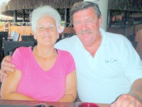
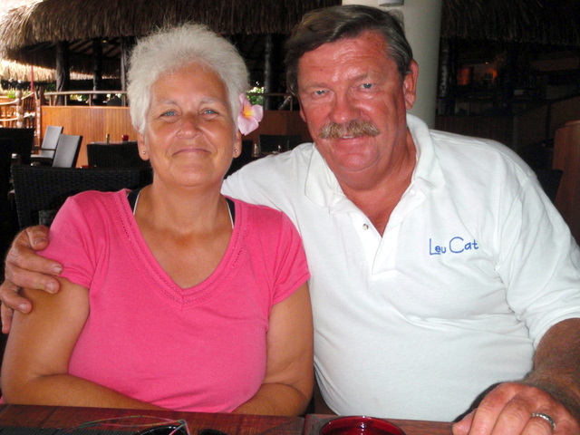
Who: Mary Margaret and Dave Leu
Port: Dana Point, CA
Gallery
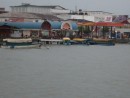


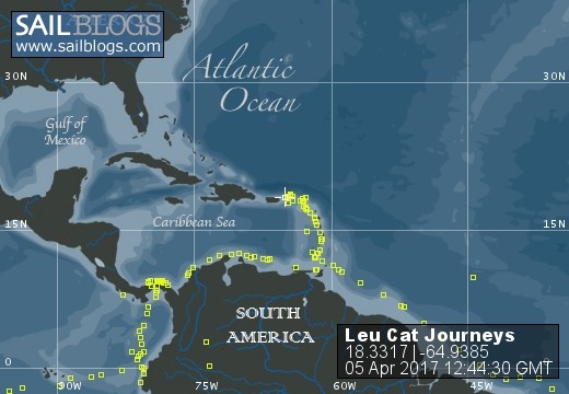
Table of Contents
Favorites
- Get A Copy Of Our Techno Tips Document
- Galley Tips For Cruisers
- Land Travel Tips For Cruisers
- Get A Copy Of Our Yanmar Drive Cone Repair Manual
- Updated Pirate Report
- My Bother Don's and Debbie's Blog
- A Great Sailing Blog
- A remarkable Sail Blog
- Celestial Navigation
- Here is Another Great Sailing Blog
- S/V Totem's Sail Blog
- S/V Infini's Blog Site
SailBlogs Friends


