
LeuCat Adventures
Join us in sharing our adventures as we sail around the world. NEW!!************************************************************************* GET A COPY OF OUR TECHNO-TIPS DOCUMENTS--JUST CLICK ON THEM UNDER THE "FAVORITES" HEADING ON THE RIGHT

24 September 2017
30 August 2017 | San Francisco, CA
07 July 2017
02 July 2017 | Simpson Bay Marina, Cole Bay, Sint Maarten
01 July 2017 | Simpson Bay Marina, Cole Bay, Sint Maarten
30 June 2017 | Simpson Bay Marina, Cole Bay, Sint Maarten
29 June 2017 | Simpson Bay Marina, Cole Bay, Sint Maarten
28 June 2017 | Simpson Bay Marina, Cole Bay, Sint Maarten
27 June 2017 | Simpson Bay Marina, Cole Bay, Sint Maarten
26 June 2017 | Simpson Bay Marina, Cole Bay, Sint Maarten
25 June 2017 | Simpson Bay Marina, Cole Bay, Sint Maarten
24 June 2017
24 June 2017 | Simpson Bay Marina, Cole Bay, Sint Maarten
22 June 2017 | Simpson Bay Marina, Cole Bay, Sint Maarten
21 June 2017 | Simpson Bay Marina, Cole Bay, Sint Maarten
20 June 2017 | Simpson Bay Marina, Cole Bay, Sint Maarten
18 June 2017 | Simpson Bay Marina, Cole Bay, Sint Maarten
17 June 2017 | Simpson Bay Marina, Cole Bay, Sint Maarten
16 June 2017 | Simpson Bay Marina, Cole Bay, Sint Maarten
15 June 2017 | Simpson Bay Marina, Cole Bay, Sint Maarten
Year 5 Day 189 Timing Our Sail To Lewoleba To Avoid Countercurrents
14 August 2012 | Lewoleba, Lembata Island, Indonesia
Dave/Sunny
The waters that we are sailing in here in Indonesia can be a bit tricky at times. As it turns out, the tidal currents in the various passes between the many, many islands that make up the Indonesian Archipelago can be vicious. We experienced this first hand when we first approached the island of Alor. If you will recall, we were slammed with a tidal current that went instantaneously from 0 to 5.3 knots against us when we were in the pass between the islands of Alor and Pantar. Apparently, we were lucky. We talked with a couple of cruisers that went through the same area but hit 9 knot currents and they actually were moved backwards for a while since they could only muster 8 knots of forward speed.
These currents are tidal in nature, which means that they will switch direction and vary their strength depending on the stage of the tide. The string of volcanic islands which make up this archipelago are separated by passes that connect two large seas: the Java Sea to the north and the Timor Sea to the south. As the tidal bulge moves the water in both seas, the water mass is pressed through the passes and huge currents are set up.
Our friends Peter and Nicki printed off a few pages of their cruising guide: “Southeast Asia Cruising Guide Vol II” that contained instructions and tables on determining the strength and direction of flow for a number of passes between the islands. We have since ordered this book and recommend it to anyone who is considering coming to this part of the world.
What we discovered is that we need to time our passage through these passes to the local upper transit of the moon. Armed with this information, we can use the tables to determine the optimum time to make our passage. We have since discovered that the tables are not always spot on but at least we can use them to avoid the worst of the tidal currents. You can calculate the UT of the moon from your almanac but I have found a great web site that does of the math for me, based on our location. It is: http://www.jgiesen.de/sunmoonclock/index.html.
I use a second website to locate the specific passes given their local names. Finding these names on your charts can be a bit difficult but this web site gives me their exact location. It is: http://www.geody.com. Just enter the name that is given on the tidal current table within the cruiser guide and the site returns with a Google Earth map and the Lat/Long for the location. For example, enter “Selat Alor” and up it pops on the map.
Armed with all of this information, we figured out the best time today to make our passage through Selat Lamakera, which is the name of the 4 nm long pass between the islands of Lembata and Adonara. We wanted to make the passage starting at 1230. Thus, at 0830 we weighed anchor and headed off. There was no wind today so we motored along at 5 knots, trying to keep our RPMs down to conserve fuel.
When we entered the pass, the currents had just switched and were flowing in our favor. As we motored through the pass, the currents increased from 1.5 knots to 3.5 knots. They would be getting much, much stronger as the tidal flooding continued.
We arrived at the rally anchorage a bit after 1400 and were greeted by the sight of 50 boats. We have decided to make this stop a “business trip” instead of a pleasure stop. By that I mean we will be shopping a bit to top up our Internet time, phone time and get a few vegetables. Once that is done, we will head back out seeking white sand beaches, clear water and great reefs to dive on. I have used Google Earth to locate what appears to be a great spot about 90 nm to the west of us. We cannot wait to get there and see if it is as nice as it appears.
Comments
| Vessel Name: | Leu Cat |
| Vessel Make/Model: | Lagoon 440 |
| Hailing Port: | Dana Point, CA |
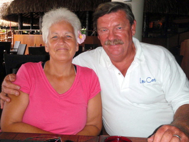
| Crew: | Mary Margaret and Dave Leu |
| About: | Our goals are to spend the next 10 to 15 years cruising around the world and sharing this adventure with family and friends. |
| Extra: | S/V Leu Cat is Lagoon 440 rigged for blue water sailing. It is 44 feet long with a 25 foot beam |
| Social: |
|
Leu Cat's Photos - (Main)
 |
 |
Wedding and Reception photos April 18, 2015, Yosemite, CA
49 Photos
Created 30 April 2015
|
 |
Here are some pics that I took while visiting w/ my parents in the Galapagos Islands
22 Photos
Created 29 March 2010
|
 |
 |
 |
 |
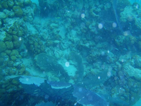 |
Pictures of the sea life in the cut between Little Jost Van Dyke and Green Cay, BVI
30 Photos
Created 17 March 2008
|
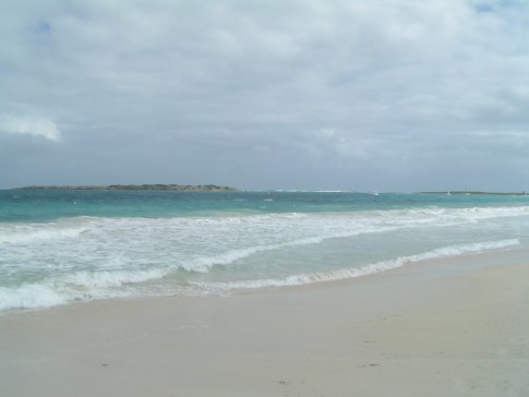 |
Here are a number of pictures of St. Maarten and the places we visited
36 Photos
Created 21 January 2008
|
 |
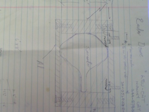
Photos of Nanny Cay
6 Photos
Created 11 January 2008
|
 |
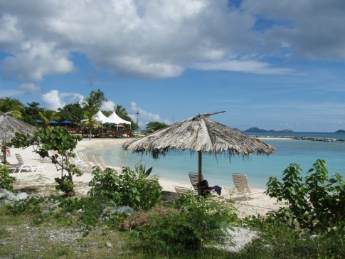
Join us as we explore the Spanish, American, and British Virgin Ilsands.
15 Photos
Created 20 October 2007
|
 |
To help get you ready to go sailing with us, we wish to introduce you to Leu Cat so you will know what to expect when you get here! Just click on the first photo and then use the "next" button to advance through this slide show.
19 Photos
Created 19 October 2007
|
 |
This is a collection of photos documenting our sail through the Windward Islands during May/June 2006 with our son, David Paul.
62 Photos
Created 14 October 2007
|

Who: Mary Margaret and Dave Leu
Port: Dana Point, CA
Gallery

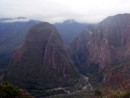


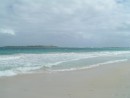
Table of Contents
Favorites
- Get A Copy Of Our Techno Tips Document
- Galley Tips For Cruisers
- Land Travel Tips For Cruisers
- Get A Copy Of Our Yanmar Drive Cone Repair Manual
- Updated Pirate Report
- My Bother Don's and Debbie's Blog
- A Great Sailing Blog
- A remarkable Sail Blog
- Celestial Navigation
- Here is Another Great Sailing Blog
- S/V Totem's Sail Blog
- S/V Infini's Blog Site
SailBlogs Friends


