
Out of Bounds

22 March 2017 | Ho Chi Minh City (or Saigon as most Vietnamese refer)
21 February 2017
20 February 2017
14 February 2017
29 January 2017
29 January 2017
28 January 2017
27 January 2017
27 January 2017
26 January 2017
26 January 2017
26 January 2017
25 January 2017
24 January 2017
22 January 2017
21 January 2017
20 January 2017
19 January 2017 | Riverside Pottery Homestay
18 January 2017
17 January 2017 | The Old Town, Hoi An, Vietnam
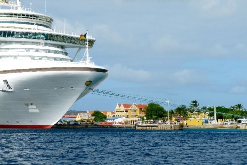
Luperon to Samaná
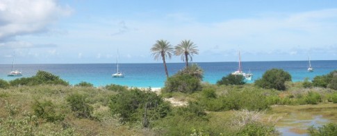
28 March 2010 | Los Haitises National Park
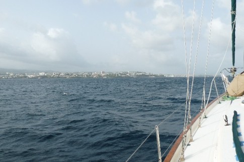
It was a misty morning as we left Luperon.
So far this trip, we have not had the usual "prevailing conditions" (Eastern trades) and therefore we have not been able to travel as our guide book "The Gentleman's Guide to Passages South" suggests. He suggests hugging the coast in the night lee of a mountainous shore. We have experienced no night lee (a lee from wind and sea at the margin of sea and land. Created by thermal effects caused by the land cooling faster than the sea. Significantly abetted by orographic effects on mountainous coasts).
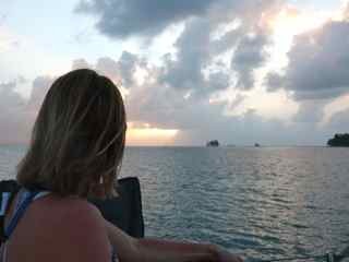
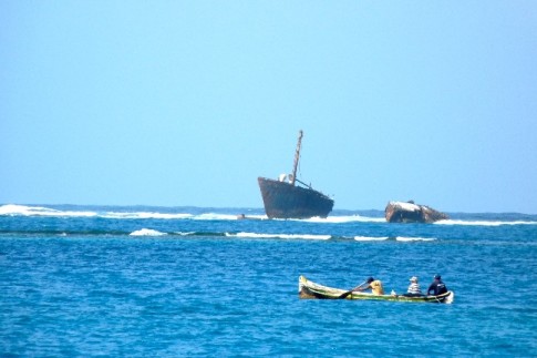
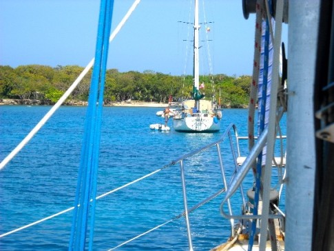
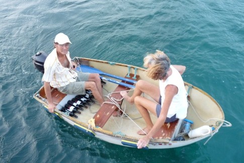
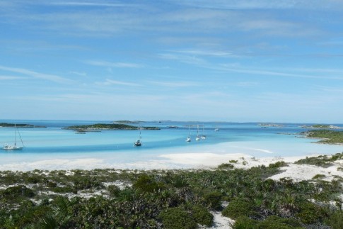
We bi-passed the town of Samana and continued directly to the anchorage in the Los Haitises National Park which is on the south east end of Samana Bay. "Vanilla" and "Osprey" headed towards town. It took us another few hours of travel but it was absolutely gorgeous and we were alone. We wrapped up the boat and fell asleep.
Steve will write about our experiences while at Los Haitises National Park and I will type it in when finished. I believe this to be our best anchorage since leaving Georgian Bay.
Please check out our photo gallery: Dominican Republic - Los Haitises National Park
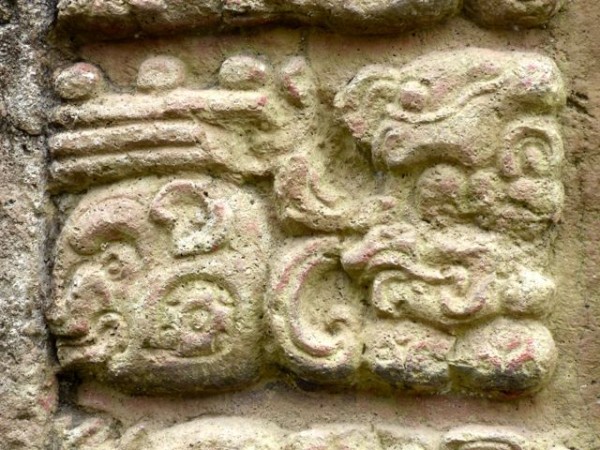
Los Haitises National Park is a national park located on the remote northeast coast of the Dominican Republic. It is a protected virgin forest with little road access. Haitis (singular) means highland or mountain range in the Taíno language, although the elevation of the park's hills ranges from 30-40 metres (98-130 ft). There is a multitude of caverns created by water erosion. Native Americans adorned these caverns with pictographs and petroglyphs. The culture or cultures which created these artworks remain unidentified, some of them possibly predating the Taínos.
Despite advanced deforestation, the precipitation is still considerable, ranging from 1,900-2,000 millimetres (75-79 in) annually. The park is near the top rank in both annual total rainfall and annual number of rainy days among sites in the Dominican Republic.
So far this trip, we have not had the usual "prevailing conditions" (Eastern trades) and therefore we have not been able to travel as our guide book "The Gentleman's Guide to Passages South" suggests. He suggests hugging the coast in the night lee of a mountainous shore. We have experienced no night lee (a lee from wind and sea at the margin of sea and land. Created by thermal effects caused by the land cooling faster than the sea. Significantly abetted by orographic effects on mountainous coasts).
We bi-passed the town of Samana and continued directly to the anchorage in the Los Haitises National Park which is on the south east end of Samana Bay. "Vanilla" and "Osprey" headed towards town. It took us another few hours of travel but it was absolutely gorgeous and we were alone. We wrapped up the boat and fell asleep.
Steve will write about our experiences while at Los Haitises National Park and I will type it in when finished. I believe this to be our best anchorage since leaving Georgian Bay.
Please check out our photo gallery: Dominican Republic - Los Haitises National Park
Los Haitises National Park is a national park located on the remote northeast coast of the Dominican Republic. It is a protected virgin forest with little road access. Haitis (singular) means highland or mountain range in the Taíno language, although the elevation of the park's hills ranges from 30-40 metres (98-130 ft). There is a multitude of caverns created by water erosion. Native Americans adorned these caverns with pictographs and petroglyphs. The culture or cultures which created these artworks remain unidentified, some of them possibly predating the Taínos.
Despite advanced deforestation, the precipitation is still considerable, ranging from 1,900-2,000 millimetres (75-79 in) annually. The park is near the top rank in both annual total rainfall and annual number of rainy days among sites in the Dominican Republic.
Comments
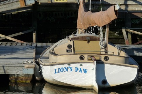
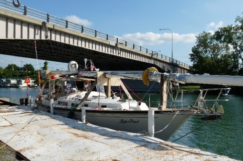
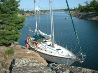
| Vessel Name: | Lion's Paw #315 |
| Vessel Make/Model: | Whitby 42 #315 |
| Hailing Port: | Registered in Edmonton.. why not eh! |
| Crew: | Marg & Steve Colquhoun |
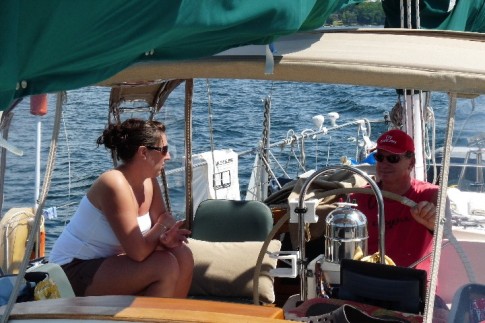
| About: | Coming full circle around the Caribbean, we have sold Lion's Paw and are now Cruisers Living on Dirt.. but you can't take the sailor out of anyone. |
| Extra: | This blog is meant for family and friends whom wish to share in our adventure. I plan to add a few comments along the way that may be of help for those wishing to embark on a similar voyage. Looking forward to meeting you out there! |
| Social: |
|
Lion's Paw #315's Photos - Main
 |
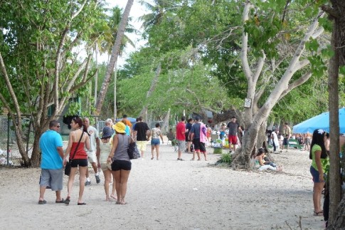
Our First Trip to Asia..destination Vietnam.
550 Photos
Created 28 January 2017
|
 |
This might be our last time aboard Lion's Paw:(
85 Photos
Created 4 July 2016
|
 |
 |
 |
 |
 |
 |
 |
 |
Boquete is a small town on the Caldera River, in the green mountain highlands of Panama, in western-most Chiriquí Province, about 60 km. from the border with Costa Rica.
25 Photos
Created 15 February 2014
|
 |
Never say good-bye... just ¡hasta luego (see you later).
13 Photos
Created 17 October 2013
|
 |
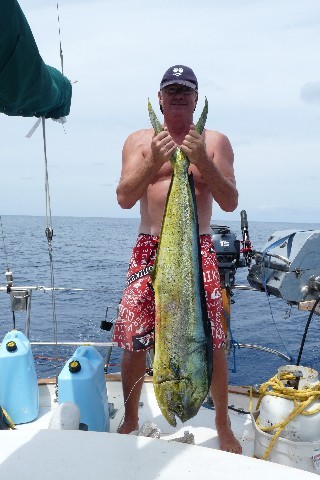
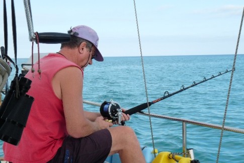
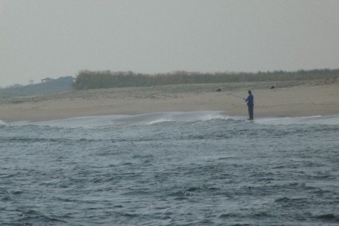
While Steve's out fishing, I've been taking photos of L.P.
21 Photos
Created 28 March 2013
|
 |
 |
 |
 |
 |
 |
 |
 |
 |
 |
 |
 |
 |
 |
 |
 |
 |
 |
 |
 |
 |
 |
 |
 |
 |
 |
 |
 |
 |
 |
 |
 |
 |
Who: Marg & Steve Colquhoun
Port: Registered in Edmonton.. why not eh!
Sailing Away
SailBlogs Friends


