
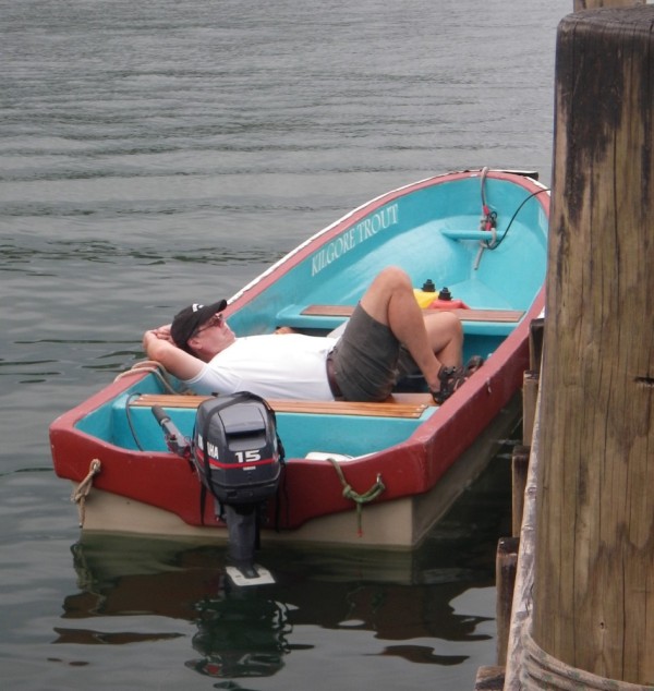
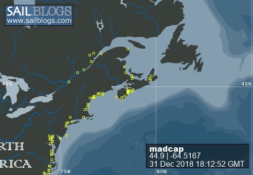
Madcap Sailing

31 December 2018 | Gold River Marina, Nova Scotia, Canada
06 August 2018 | Mahone Bay, Nova Scotia
15 June 2018
26 May 2018 | Gold River Marina, Gold River, NS
18 May 2018 | Gold River Marina, Gold River, NS
24 March 2018 | boat in Gold River, NS and crew in Halifax
22 May 2017 | Whittaker Creek, Oriental, NC
15 May 2017 | Boat in Oriental, crew in New Orleans and Nova Scotia
26 April 2017 | Oriental, NC
26 April 2017 | Oriental, NC
23 April 2017 | Oriental, NC
20 April 2017 | Ocean Isle Marina, Ocean Beach, NC at Mile 335.6
17 April 2017 | Dewees Creek, near Charleston, NC
14 April 2017 | St Simons Island
12 April 2017 | Fernandina Beach, FL
11 April 2017 | St Augustine, FL
07 April 2017 | Vero Beach, Florida
04 April 2017 | Ft Pierce
03 April 2017 | Ft Pierce, FL
30 March 2017 | Ft Pierce, Florida
Gotta Get to Georgetown
16 March 2010 | Lee Stocking Island, Exumas
Beth / 75 - 80 / minimal wind

We finally tore ourselves away from Little Farmer's Cay on Tuesday. We have friends to see in Georgetown so it's time we headed in that direction.
We had hoped to get up to Oven Rock on Great Guana Cay to explore the cave and the beach with Kolibrie and Solitaire but it was not to be. Despite Monday being a lovely day in the harbour, we could see breakers rolling in up north where we'd have to dinghy and none of us really wanted to get into that. Instead, we all did "housekeeping" things.
I got the last few postings up, but I couldn't get pictures to go through because of low bandwidth (or should that be "narrow"?) and didn't have enough time available to answer any e-mails. So - my apologies to all of you! It will be nice if we can get a chunk of time with a strong signal in Georgetown.
Dinner on Monday night was stewfish - made with the grouper Jeffery caught, and with his recipe - well sort of. He told me the basics of how he (or maybe his mother?) makes it and I went from there. Because neither of us used any measurements, it was one of those dishes that I may never get quite the same again - which would be a pity. The general idea is to make a roue of flour and butter, add some fish stock and seasonings, including enough hot pepper to give it a bit of a zing, along with onions and peppers. When that is nice and bubbly, add fish fillets and some potatoes and cook till done (as they used to say in the old recipe books.) Someday, I'll try to get that into clearer recipe form, but those of you who like to invent dishes can have a go at it from Jeffery's directions.
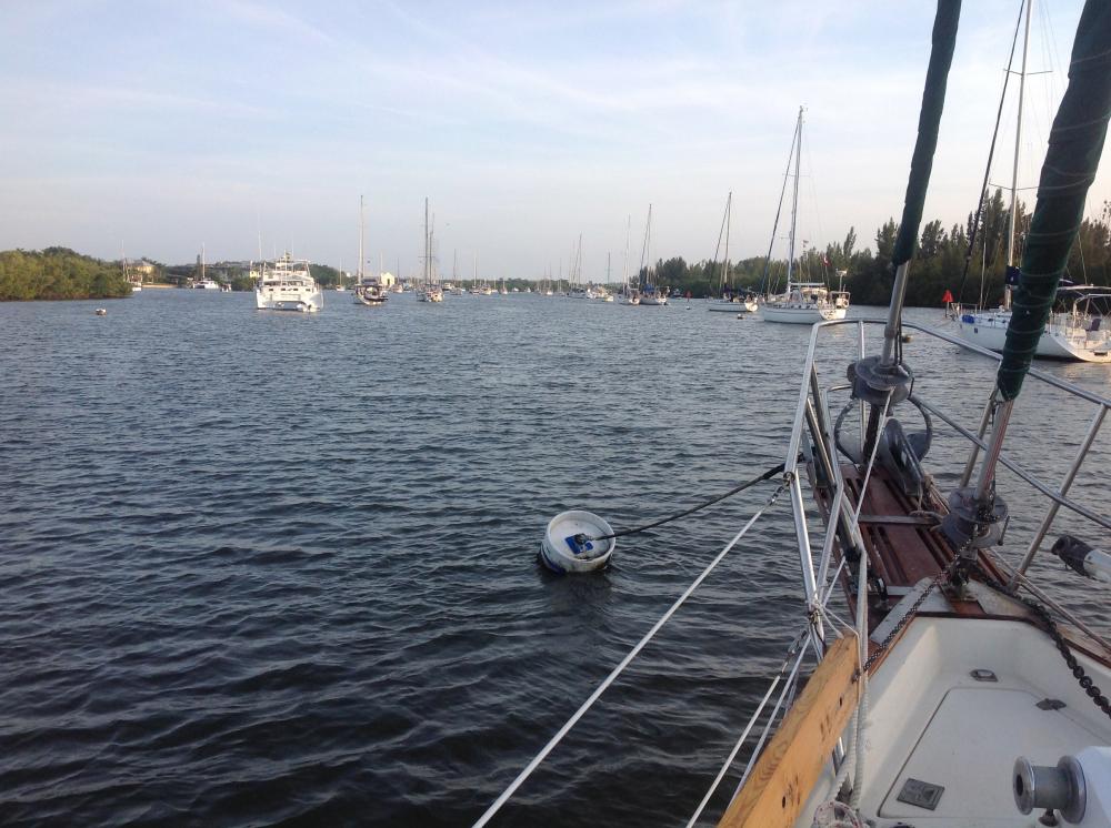
We stopped at Lee Stocking Island on Tuesday night but chickened out of going through the narrow channel to the anchorage in front of the research centre. When the depth was down to inches, we did a quick turn and dropped the hook just between the shoal and the corner of the island. There were three boats out there so perhaps others had reservations about the depth too. When we dinghied in later, the hand held depth sounder showed that we could do it at mid to high tide. We sure wish the Explorer charts were on our Navionics chip in the cockpit chartplotter. It is a lot harder to pick out a route from paper charts, and I have great admiration for the folks who always do it that way. Our chartplotter is great in Canada and the US but it leaves a lot to be desired here. Some brands have the Explorer routes and waypoints on them already. We enter the waypoints but have to figure out the curvy routes ourselves!
Ashore, we signed the required forms relinquishing the Perry Institute for Marine Science from liability if anything happened to us there, and went for a hike down the runway and through the bushes to Coconut Beach. Because we had forgotten to take water and had only our light sandals on our feet, we didn't hike to Perry Peak. We'll save that for another visit. The tours are offered Mon, Wed and Fri, so we'll have to do that another day too. On the walk back we enjoyed meeting Karen and John (Felicity) and were sorry that our paths crossed so briefly.
Once the tide changed and the boat stopped swinging around as it did when the current and wind were opposed, we had a beautiful quiet night. The Bruce anchor dug in really well and reset perfectly when the tide turned.
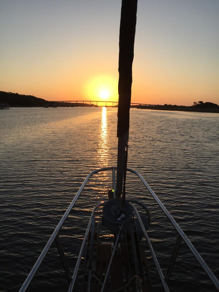
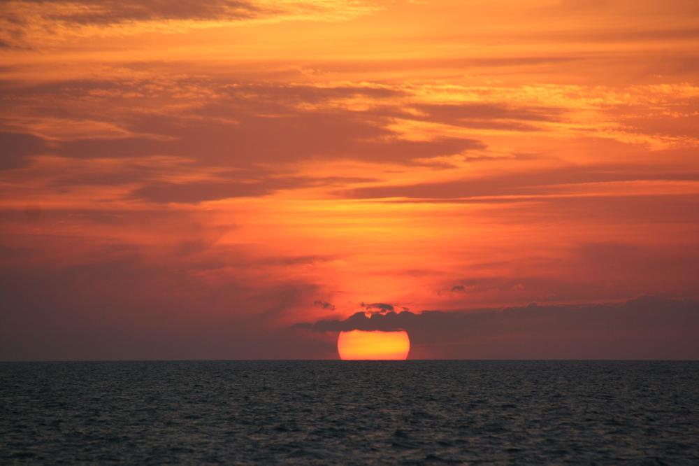
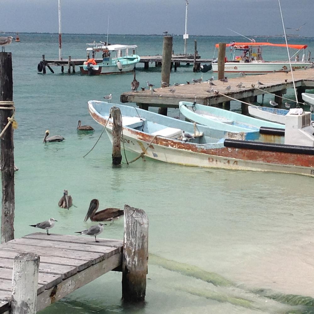
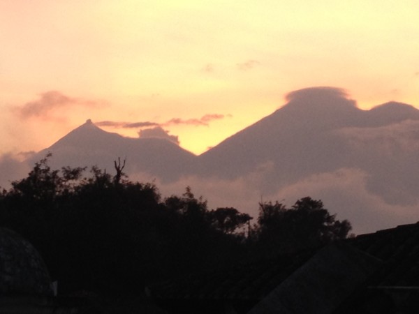
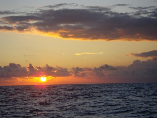
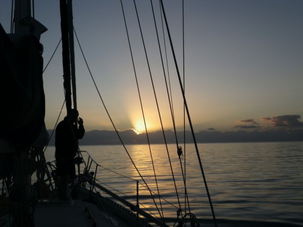
This picture is sunrise at Lee Stocking Island - so peaceful and beautiful.
We had hoped to get up to Oven Rock on Great Guana Cay to explore the cave and the beach with Kolibrie and Solitaire but it was not to be. Despite Monday being a lovely day in the harbour, we could see breakers rolling in up north where we'd have to dinghy and none of us really wanted to get into that. Instead, we all did "housekeeping" things.
I got the last few postings up, but I couldn't get pictures to go through because of low bandwidth (or should that be "narrow"?) and didn't have enough time available to answer any e-mails. So - my apologies to all of you! It will be nice if we can get a chunk of time with a strong signal in Georgetown.
Dinner on Monday night was stewfish - made with the grouper Jeffery caught, and with his recipe - well sort of. He told me the basics of how he (or maybe his mother?) makes it and I went from there. Because neither of us used any measurements, it was one of those dishes that I may never get quite the same again - which would be a pity. The general idea is to make a roue of flour and butter, add some fish stock and seasonings, including enough hot pepper to give it a bit of a zing, along with onions and peppers. When that is nice and bubbly, add fish fillets and some potatoes and cook till done (as they used to say in the old recipe books.) Someday, I'll try to get that into clearer recipe form, but those of you who like to invent dishes can have a go at it from Jeffery's directions.
We stopped at Lee Stocking Island on Tuesday night but chickened out of going through the narrow channel to the anchorage in front of the research centre. When the depth was down to inches, we did a quick turn and dropped the hook just between the shoal and the corner of the island. There were three boats out there so perhaps others had reservations about the depth too. When we dinghied in later, the hand held depth sounder showed that we could do it at mid to high tide. We sure wish the Explorer charts were on our Navionics chip in the cockpit chartplotter. It is a lot harder to pick out a route from paper charts, and I have great admiration for the folks who always do it that way. Our chartplotter is great in Canada and the US but it leaves a lot to be desired here. Some brands have the Explorer routes and waypoints on them already. We enter the waypoints but have to figure out the curvy routes ourselves!
Ashore, we signed the required forms relinquishing the Perry Institute for Marine Science from liability if anything happened to us there, and went for a hike down the runway and through the bushes to Coconut Beach. Because we had forgotten to take water and had only our light sandals on our feet, we didn't hike to Perry Peak. We'll save that for another visit. The tours are offered Mon, Wed and Fri, so we'll have to do that another day too. On the walk back we enjoyed meeting Karen and John (Felicity) and were sorry that our paths crossed so briefly.
Once the tide changed and the boat stopped swinging around as it did when the current and wind were opposed, we had a beautiful quiet night. The Bruce anchor dug in really well and reset perfectly when the tide turned.
This picture is sunrise at Lee Stocking Island - so peaceful and beautiful.
Comments
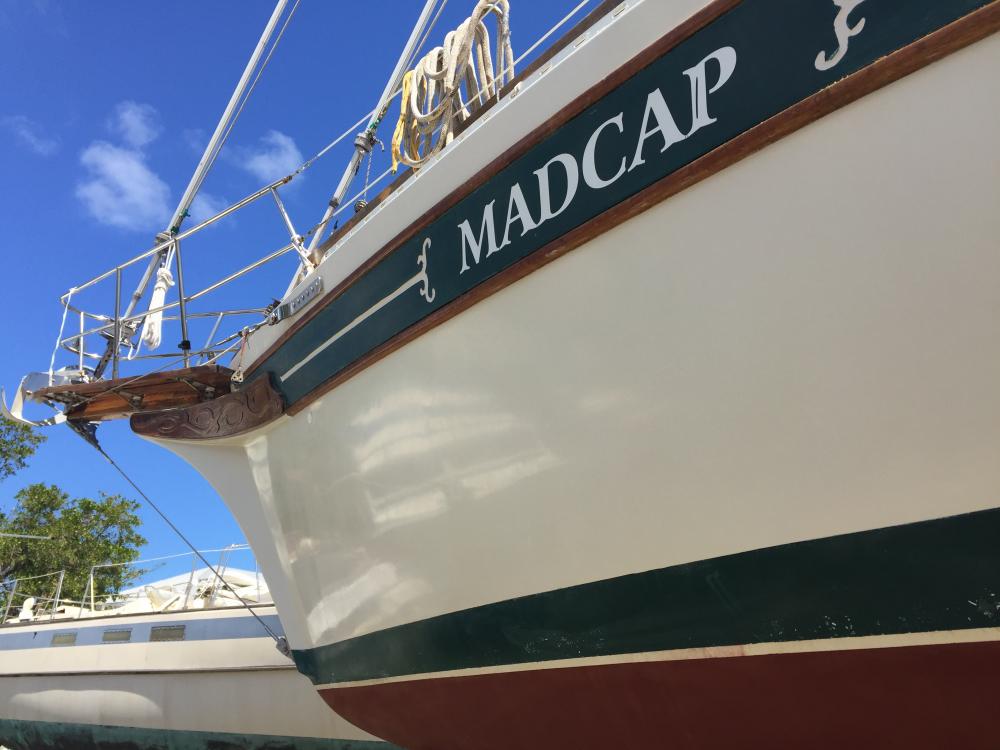
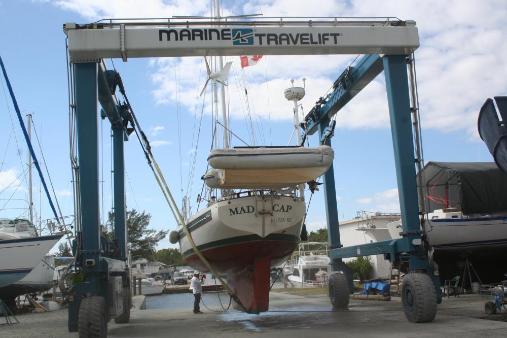
| Vessel Name: | Madcap |
| Vessel Make/Model: | Bayfield 36 |
| Hailing Port: | Halifax, Nova Scotia |
| Crew: | James D Bissell (Jim) and Elizabeth Lusby (Beth) |
| About: | Beth and Jim have spent several winters sailing southern waters on s/v Madcap. They love Halifax in the summer, but loved to spend the winters exploring warmer places - the Bahamas, Cuba, Mexico, Guatemala, Belize, Honduras. |
| Extra: | |
| Social: |
|
Madcap's Photos - Mad Cap Sailing (Main)
 |
 |
 |
 |
 |
 |
 |
 |
 |
 |
 |
 |
 |
 |
 |
 |
 |
 |
 |
 |
 |
Guatemala pics starting Nov 22, 2012
43 Photos
Created 6 December 2012
|
 |
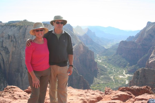 |
trip to Zion National Park and Bryce Canyon National Park (via Las Vegas)
23 Photos
Created 4 November 2012
|
 |
 |
 |
 |
 |
 |
 |
Madcap
Who: James D Bissell (Jim) and Elizabeth Lusby (Beth)
Port: Halifax, Nova Scotia
SailBlogs Friends


