
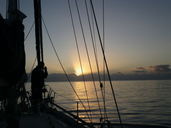
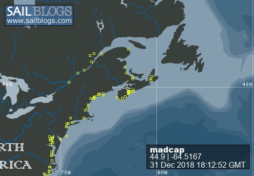
Madcap Sailing

31 December 2018 | Gold River Marina, Nova Scotia, Canada
06 August 2018 | Mahone Bay, Nova Scotia
15 June 2018
26 May 2018 | Gold River Marina, Gold River, NS
18 May 2018 | Gold River Marina, Gold River, NS
24 March 2018 | boat in Gold River, NS and crew in Halifax
22 May 2017 | Whittaker Creek, Oriental, NC
15 May 2017 | Boat in Oriental, crew in New Orleans and Nova Scotia
26 April 2017 | Oriental, NC
26 April 2017 | Oriental, NC
23 April 2017 | Oriental, NC
20 April 2017 | Ocean Isle Marina, Ocean Beach, NC at Mile 335.6
17 April 2017 | Dewees Creek, near Charleston, NC
14 April 2017 | St Simons Island
12 April 2017 | Fernandina Beach, FL
11 April 2017 | St Augustine, FL
07 April 2017 | Vero Beach, Florida
04 April 2017 | Ft Pierce
03 April 2017 | Ft Pierce, FL
30 March 2017 | Ft Pierce, Florida
North on the ICW
10 June 2008 | near Southport
B - air 32, water temp 35, wind S 10 - 15 kn
We departed Georgetown SC about 7 am on Monday and headed north. Southport/ Cape Fear makes a convenient point to head out to the ocean again so it was the ICW route for us. The weather has stayed blistering hot - around 30 + all day every day. Sue says this is more typical of August than June. We'll need to do something about fans before too long.
The Waccamaw River was beautiful, with tree-lined banks, birds, turtles and lots of fish. Just as on the way south, we marveled as we moved north at the number of long, long docks that stretch like fingers out to the waterway. The houses are tucked into the trees on shore and the walkways go out over the marshes. The view changed steadily from rural trees to wide open marsh, to beautiful mansions and docks to stucco clutter and docks. We gave a wave to Anchor Marine and Captain Poo's as we passed. We had a wonderful time there in the spring, but we had to keep moving this time. We saw lots of children out in boats and playing along the shore. School's out in South Carolina. It seems so early but apparently that's the way it is here - and they don't go back until after Labour Day either.
Because we had current against us almost all the way, we had to stop at Calabash Creek again. It took us close to 12 hours to make 53 nm. We stopped here in the fall and there were 7 or 8 boats - just 4 this time. The boat next to us left almost immediately afterward and we were a bit worried that they felt we were too close. We didn't think so, and they didn't say anything to us as they passed, but we were still pleased to hear them say later on the radio that they moved because they were concerned about tide and depth. This is a narrow little spot to get out of the channel - essential because big boats go through early and late from Calabash - but there is certainly room enough to manage it.
As we sat with our books, we overheard what we thought would be an "impossible" conversation on the VHF. Salty Paws, down on the Georgia/Florida border was talking with Coast Guard in Beaufort, NC! They both commented on it too - that's about 300 miles. The coast guard officer said there have been very strange skips in transmission lately.
Because we needed to time our transit of Shalotte Inlet and Lockwood's Folly just right for depth, we waited till 9 am to leave. We also had to time it right for the Sunset Beach Pontoon bridge that opens on the hour (and not at all at extreme low tide) and to navigate carefully across the shoal at the opening into Calabash Creek. (Hug the ICW Red 2 - there is also a Red 2 for the Creek and the shoal stretches out past it.)
We crossed the tricky bits between mid and high tide and by staying in mid channel for Shallotte, and almost kissing the reds at Lockwood's we had at least 7 feet all the way across the inlets.
In North Carolina, there are acres and acres of land that hold back-to-back houses fronting on canals dug into the marshland. Every house had a boat or two - or three. We noticed a number of for sale signs and wondered if these were signs of harder economic times. On the other hand, the huge numbers of sport fishing boats, floating patios, speedboats and sea doos would indicate that many folks still have dollars to spend on toys and fuel.
We just stopped at South Harbour Village Marina for 25 US gallons of diesel ($118.35). They have wifi so I'll get this up. Once we get to Cape Fear Inlet, we're off to the ocean - arriving in Beaufort NC on Wed.
Comments
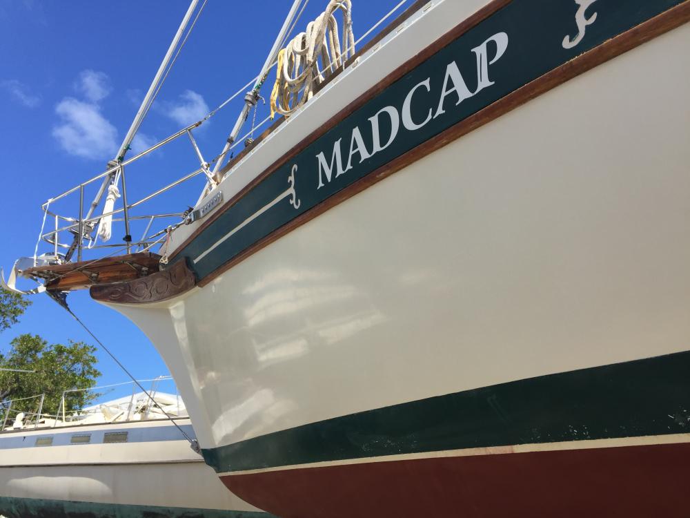
| Vessel Name: | Madcap |
| Vessel Make/Model: | Bayfield 36 |
| Hailing Port: | Halifax, Nova Scotia |
| Crew: | James D Bissell (Jim) and Elizabeth Lusby (Beth) |
| About: | Beth and Jim have spent several winters sailing southern waters on s/v Madcap. They love Halifax in the summer, but loved to spend the winters exploring warmer places - the Bahamas, Cuba, Mexico, Guatemala, Belize, Honduras. |
| Extra: | |
| Social: |
|
Madcap's Photos - Mad Cap Sailing (Main)
 |
 |
 |
 |
 |
 |
 |
 |
 |
 |
 |
 |
 |
 |
 |
 |
 |
 |
 |
 |
 |
Guatemala pics starting Nov 22, 2012
43 Photos
Created 6 December 2012
|
 |
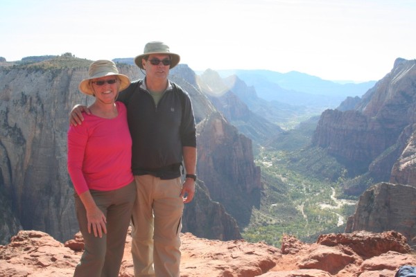 |
trip to Zion National Park and Bryce Canyon National Park (via Las Vegas)
23 Photos
Created 4 November 2012
|
 |
 |
 |
 |
 |
 |
 |
Madcap
Who: James D Bissell (Jim) and Elizabeth Lusby (Beth)
Port: Halifax, Nova Scotia
SailBlogs Friends


