
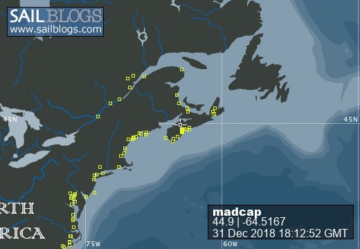
Madcap Sailing

31 December 2018 | Gold River Marina, Nova Scotia, Canada
06 August 2018 | Mahone Bay, Nova Scotia
15 June 2018
26 May 2018 | Gold River Marina, Gold River, NS
18 May 2018 | Gold River Marina, Gold River, NS
24 March 2018 | boat in Gold River, NS and crew in Halifax
22 May 2017 | Whittaker Creek, Oriental, NC
15 May 2017 | Boat in Oriental, crew in New Orleans and Nova Scotia
26 April 2017 | Oriental, NC
26 April 2017 | Oriental, NC
23 April 2017 | Oriental, NC
20 April 2017 | Ocean Isle Marina, Ocean Beach, NC at Mile 335.6
17 April 2017 | Dewees Creek, near Charleston, NC
14 April 2017 | St Simons Island
12 April 2017 | Fernandina Beach, FL
11 April 2017 | St Augustine, FL
07 April 2017 | Vero Beach, Florida
04 April 2017 | Ft Pierce
03 April 2017 | Ft Pierce, FL
30 March 2017 | Ft Pierce, Florida
Amidst the Pots
02 August 2008 | Harbor Island, Maine
Beth - overcast, low 20's
Keeping to our recent pattern, we traveled for less than 3 hours on Saturday from Linekin Bay to wide and rock strewn Muscongus Bay.
We woke up to overcast but not foggy skies, and after a pleasant chat with the folks on Starfire - from Victoria BC - we headed on our way. In that conversation, we learned a thing or two about our GPS experience yesterday. They had heard a notice that the signal would be scrambled for parts of the day. Jim knew that George W. was supposed to be in the Kennebunkport area and that explained it all. Today, we heard an announcement that there will be interference later in the week too.
Our visibility was about a mile as we motored along, bare poled, into the 10 knot wind.
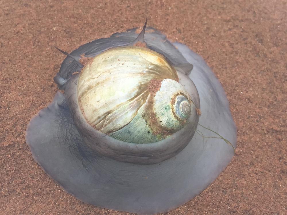
Harbour Island had been recommended by a couple of different boats, as well as receiving a nice review in the Tafts' Maine Guidebook; the forecast was for dense fog and chance of thundershowers later in the day, so we ducked into Muscongus Bay and anchored amidst the lobster buoys in the little harbour between Harbor and Hall Islands. (I figure I can spell the general word the Canadian way, but the name of the place is the way it's written on the chart.) Ospreys chirped loudly from the trees and black guillemots swam by our boat. They're pretty little black and white birds.
It is no small feat to weave a path through the hundreds of colourful buoys here, find a spot between the rocks and shoal areas, let out enough rode to be safe and yet still have swing room. We're anchored in 38 ft of water and Jim put out more rode than ever before. Backing down on it meant watching backward to make sure we didn't run over any of the pesky things. Further south on the coast, the watermen use a singly buoy system. There are several on a long string, but each one goes straight down. We're now into the area where they often use a double floater system. It's easy to see the larger float with a pointer on top, but it is connected to a smaller ball with the line connecting them just a foot or so under the water. One does not want to go between the two!
The owners of Harbor Island graciously welcome visitors to explore the trails and beaches so that's what we did. At low tide, we could see and walk on clear evidence of the enormous power of the earth. Layers of sedimentary rock were formed flat and then pushed up at a 90-degree angle as the plates shifted millions of years ago. I kept thinking of the difference between this pleasant day as we picked our way along the very edges of these rocks and the kind of force needed to make them look this way. In other places large boulders (I can't tell you what kind of rock) looked like they were dropped in place by giant hands as glaciers receded.
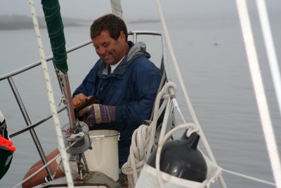
We got our own hands dirty as we plucked mussels from the rocks and mud at the low tide line. Jim did true hunter/gatherer service as he sat up on the bowsprit and scrubbed them all and then acted as taster. I steamed a handful of them and he ate 4 to make sure they were safe to eat. When he showed no signs of an attack to his nervous system, I steamed the rest of them and we had ourselves a feast.
We woke up to overcast but not foggy skies, and after a pleasant chat with the folks on Starfire - from Victoria BC - we headed on our way. In that conversation, we learned a thing or two about our GPS experience yesterday. They had heard a notice that the signal would be scrambled for parts of the day. Jim knew that George W. was supposed to be in the Kennebunkport area and that explained it all. Today, we heard an announcement that there will be interference later in the week too.
Our visibility was about a mile as we motored along, bare poled, into the 10 knot wind.
Harbour Island had been recommended by a couple of different boats, as well as receiving a nice review in the Tafts' Maine Guidebook; the forecast was for dense fog and chance of thundershowers later in the day, so we ducked into Muscongus Bay and anchored amidst the lobster buoys in the little harbour between Harbor and Hall Islands. (I figure I can spell the general word the Canadian way, but the name of the place is the way it's written on the chart.) Ospreys chirped loudly from the trees and black guillemots swam by our boat. They're pretty little black and white birds.
It is no small feat to weave a path through the hundreds of colourful buoys here, find a spot between the rocks and shoal areas, let out enough rode to be safe and yet still have swing room. We're anchored in 38 ft of water and Jim put out more rode than ever before. Backing down on it meant watching backward to make sure we didn't run over any of the pesky things. Further south on the coast, the watermen use a singly buoy system. There are several on a long string, but each one goes straight down. We're now into the area where they often use a double floater system. It's easy to see the larger float with a pointer on top, but it is connected to a smaller ball with the line connecting them just a foot or so under the water. One does not want to go between the two!
The owners of Harbor Island graciously welcome visitors to explore the trails and beaches so that's what we did. At low tide, we could see and walk on clear evidence of the enormous power of the earth. Layers of sedimentary rock were formed flat and then pushed up at a 90-degree angle as the plates shifted millions of years ago. I kept thinking of the difference between this pleasant day as we picked our way along the very edges of these rocks and the kind of force needed to make them look this way. In other places large boulders (I can't tell you what kind of rock) looked like they were dropped in place by giant hands as glaciers receded.
We got our own hands dirty as we plucked mussels from the rocks and mud at the low tide line. Jim did true hunter/gatherer service as he sat up on the bowsprit and scrubbed them all and then acted as taster. I steamed a handful of them and he ate 4 to make sure they were safe to eat. When he showed no signs of an attack to his nervous system, I steamed the rest of them and we had ourselves a feast.
Comments
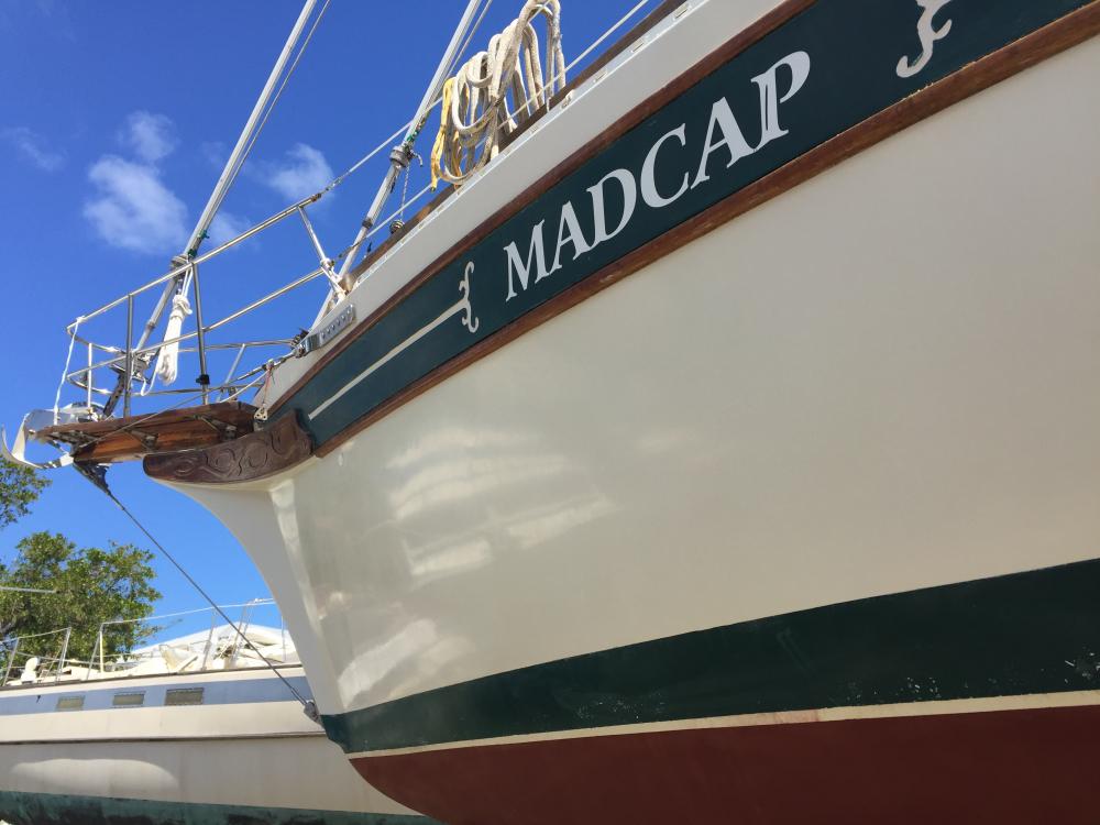
| Vessel Name: | Madcap |
| Vessel Make/Model: | Bayfield 36 |
| Hailing Port: | Halifax, Nova Scotia |
| Crew: | James D Bissell (Jim) and Elizabeth Lusby (Beth) |
| About: | Beth and Jim have spent several winters sailing southern waters on s/v Madcap. They love Halifax in the summer, but loved to spend the winters exploring warmer places - the Bahamas, Cuba, Mexico, Guatemala, Belize, Honduras. |
| Extra: | |
| Social: |
|
Madcap's Photos - Mad Cap Sailing (Main)
 |
 |
 |
 |
 |
 |
 |
 |
 |
 |
 |
 |
 |
 |
 |
 |
 |
 |
 |
 |
 |
Guatemala pics starting Nov 22, 2012
43 Photos
Created 6 December 2012
|
 |
 |
trip to Zion National Park and Bryce Canyon National Park (via Las Vegas)
23 Photos
Created 4 November 2012
|
 |
 |
 |
 |
 |
 |
 |
Madcap
Who: James D Bissell (Jim) and Elizabeth Lusby (Beth)
Port: Halifax, Nova Scotia
SailBlogs Friends


