Voyages North
23 July 2023
21 August 2021
11 July 2021 | Posted in Seattle
16 May 2021
07 January 2021
10 April 2020 | Posted in Seattle
31 August 2019 | Posted at Port McNeill
31 August 2019
30 August 2019
30 August 2019 | Posted at Port MCNeill
13 August 2019 | Posted at Prince Rupert
13 August 2019 | Posted at Prince Rupert
03 August 2019 | Posted at Ketchikan
02 August 2019 | Posted at Metlakatla
02 August 2019 | posted in Metlakatla AK
22 July 2019 | Posted at Klawock/Craig
22 July 2019 | Posted at Klawock/Craig
09 July 2019 | Posted at Juneau
09 July 2019 | Posted at Juneau
27 June 2019
2009: Departure for Haida Gwaii
26 June 2009

Photo: Map of Haida Gwaii (Queen Charlotte Islands)
Our 2009 journey north is to the Queen Charlotte Islands, an archipelago located on the very edge of the continental shelf, north of Vancouver Island.
Tell an American that you're sailing to the Queen Charlotte Islands and we often hear, "Where are they?" Tell a Canadian, and they'll look wistful and say, "I've always wanted to go there."
Although the name on the chart is the Queen Charlotte Islands, Canadians now call the islands Haida Gwaii, land of the Haida in Haida, (the once warlike and still very artistic tribe that lives there.) The site of the Gwaii Haanas National Park and the UNESCO World Heritage Site, Sgun Gwaii, people go there to see old totem poles, wildlife, sea life, and moss-draped forests of cedar and spruce. The islands' distance from civilization and the permit that's required by the Canadian Park Service ensures deserted anchorages and a true wilderness experience.
We plan to go north up east side of Vancouver Island, then around Cape Caution to the Inside Passage. Somewhere north of Bella Bella, depending on the weather, we'll turn west and head across Hecate Strait, approximately 60 miles, to reach the islands.
Comments
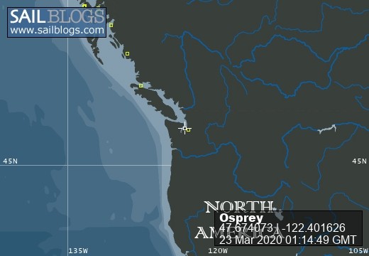
| Vessel Name: | Osprey |
| Vessel Make/Model: | Annapolis 44 sloop |
| Hailing Port: | Seattle |
| Crew: | Steve and Elsie Hulsizer (author of Glaciers, Bears and Totems and Voyages to Windward) |
| About: | |
| Extra: |
Osprey's Photos - Main
No items in this gallery.
Voyages North on SV Osprey
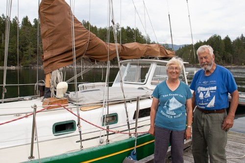
Who: Steve and Elsie Hulsizer (author of Glaciers, Bears and Totems and Voyages to Windward)
Port: Seattle
SailBlogs Friends

