
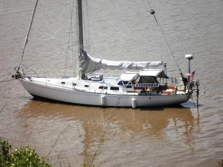
Log of the Argonaut
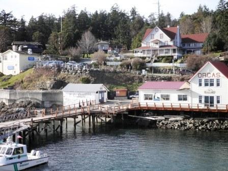
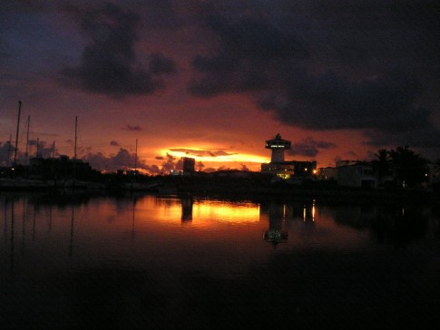
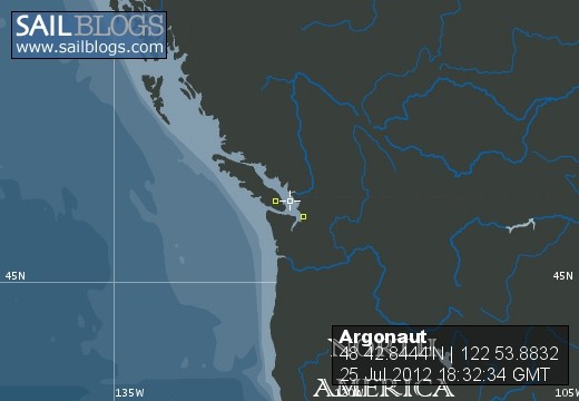
25 July 2012 | Orcas Island
19 October 2011 | Orcas Island
04 August 2011 | Orcas Island, U.S. San Juan Islands
14 June 2011 | U.S. Southwest
20 May 2011 | Durango, Co
19 May 2011 | Durango Colorado
21 March 2011 | Washington State
24 February 2011 | Between South and North
13 February 2011 | Aussie
17 January 2011 | Bundaberg, Australia
24 November 2010 | Bundaberg Australia
18 October 2010 | Noumea
06 October 2010 | Port Vila, Vanuatu
09 September 2010 | Between Port Resolution and Port Vila, Vanuatu
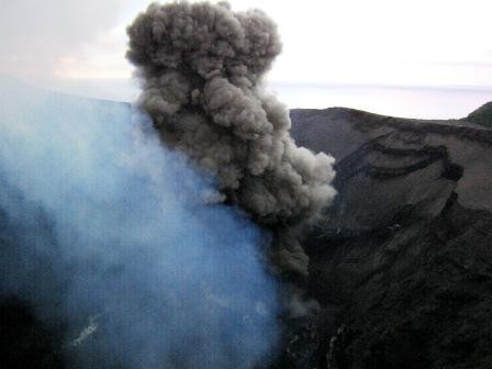
03 September 2010 | Tanna Island, Vanuatu
27 July 2010 | Mamanuka Islands, Fiji
21 May 2010 | Malolo Island
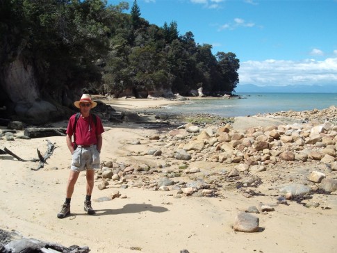
05 April 2010 | EnZed
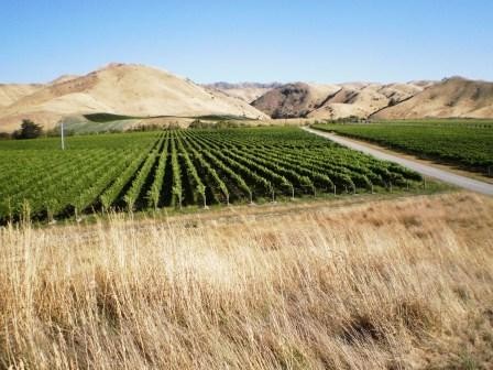
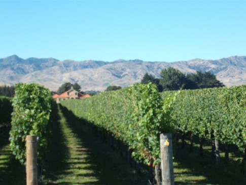
06 March 2010 | Marlborough District
26 February 2010 | EnZed: South Island
Where the...
09 May 2009 | Whangarei: The weather is awful. Three lows are spinning around each other vying to see which one will drown us.
The Weatherman

Where-are we?
Computing, usually laptops, has come to small boat navigation in a big way. With one notable exception, we know of no one exclusively using a sextant to find their way. Those of us with both systems on board probably haven't opened their Nautical Almanacs in years. It's just too easy to plot and follow a course accurate to a few feet. We call it following The Yellow Brick Road. We do, of course, keep a running paper plot in case the electrons go wandering off at a critical moment. Laptops are surprisingly tough, but not indestructible.
That said, I've spent part of two days (at the dock) configuring our navigation system. Navigation isn't the 'putes only function. It is tied to our SSB HF radio through a Pactor III modem as a vital part of our safety inventory - receiving Weatherfax, GRIB (gridded binary) files, offshore Buoy Weather reports, e-mails at sea as well as what most people think a radio is for! Talking! Imagine that.... When we're on a passage, we check in with the Pacific Seafarer's Net daily on 14300 MHz at 0300 Zulu. There is fifteen minutes of general B.S. followed by emergency/priority traffic and finally a roll call of vessels under way. Our position is reported to YOTREPS daily. It's really nice to know someone is going to miss you and have an idea of where to start looking if you go off the air.
Electronic Charting: NOAA and the NGA (National Geospatial Intelligence Agency) give ENC's (electronic navigation charts) away and the companies supplying the charting programs to the yachties do their best to keep your hands off them. No profit in free stuff, you know. A big aircraft manufacturer sells a world set of these charts and a charting program back to us for about fifteen grand. This has spawned a whole genre of code-crackers supplying bootleg software all over the planet... a practice which would dry up if they dropped their prices a bit. (Like suckers...We have a legit copy covering a much smaller area). Anyone who knows how to convert a .vpf file to .bsb, let me know.
When interfaced with a GPS, all of this can show which marina berth you're in - if you're in the U.S., Canada, most of Western Europe, Australia and New Zealand. You can even overlay the chart with a radar image and split the screen with an actual photo or 3D depth contours of that tricky harbor entrance. It's a little less certain out here where the last survey might have been done by Captain Cook... No kidding. And there is a lot more of that than you might imagine. Unless someone's Navy drives a Warship there, no one is going to re-chart any of it anytime soon. That's one of the reasons we run RADAR and keep an EXTRA SPECIAL watch any time we're around the crunchy stuff.
Hasta luego
Comments
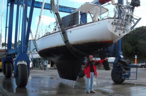
| Vessel Name: | Argonaut |
| Vessel Make/Model: | Cal-40 |
| Hailing Port: | Seattle |
| Crew: | Mike & Liz |
| About: | |
| Extra: | It has been an amazing journey. I could have stayed home, or gone no farther than Mexico but I knew I'd never see this any other way. If there were only re-runs... The lesson is: If you wait until you're ready, you'll never go. So get off your butt and do it - whatever IT is. |
Argonaut's Photos - Wishful thinking (Main)
 |
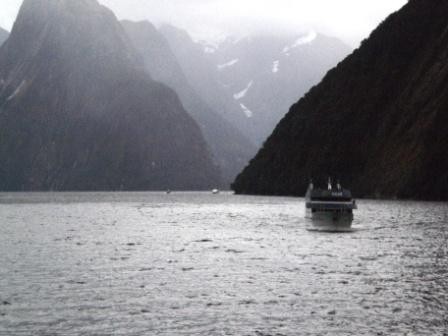
Looking back at five years voyaging across the Pacific
12 Photos
Created 25 July 2012
|
 |
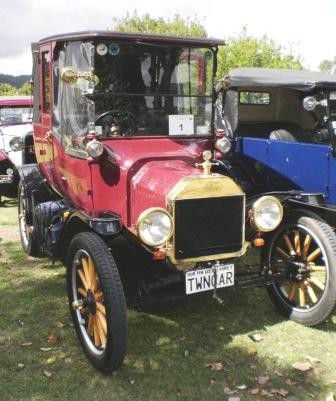
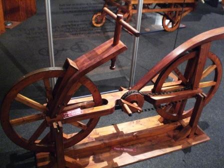
Mix of Port Townsend Wooden Boat Festival and home re-do project
25 Photos
Created 28 October 2011
|
 |
 |
 |
 |
 |
 |
 |
 |
 |
 |
 |
 |
 |
 |
 |
 |
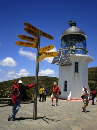
Continuation of New Zealand travel 2009/2110
40 Photos | 1 Sub-Album
Created 13 January 2010
|
 |
 |
 |
 |
 |
 |
Foods from across the Pacific. From the Marquesas to Fiji and New Zealand
30 Photos
Created 25 October 2009
|
 |
 |
 |
 |
 |
 |
 |
 |
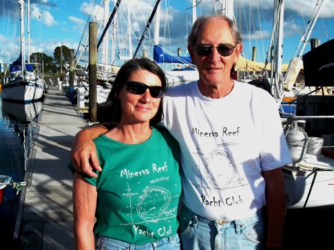 |
Minerva Reef shirts and maintenance projects
12 Photos
Created 29 April 2009
|
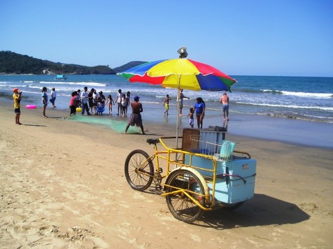 |
Chacala, Guayabitos, Los Ayala,
Lo de Marco, San Pancho, Saulita
36 Photos
Created 21 April 2009
|
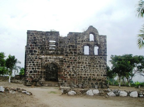 |
In and around San Blas.
Didn't take many pics.
Too busy doing damn little.
9 Photos
Created 14 April 2009
|
 |
 |
 |
 |
 |
 |
 |
Hauraki Gulf. Classic Yacht Regatta and AC boats
17 Photos
Created 17 February 2009
|
 |
 |
 |
 |
 |
Pacific Festival of the Arts/Pago Pago
12 Photos | 1 Sub-Album
Created 6 January 2009
|
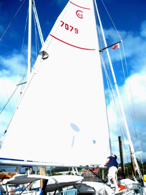
Cal 40 Argonaut

Who: Mike & Liz
Port: Seattle
Gallery


SailBlogs Friends
