
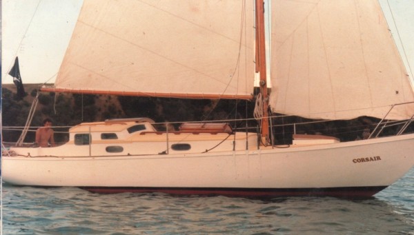
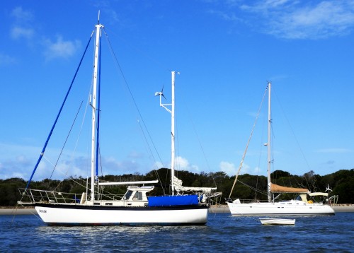
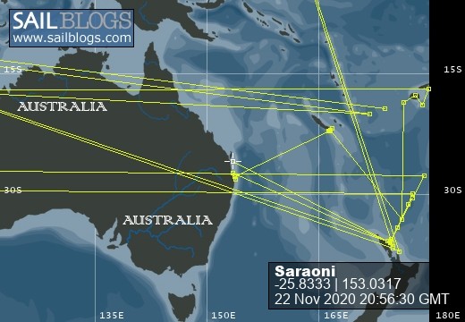
SVs Saraoni and Sundari
09 April 2024 | The Broadwater, Gold Coast, Australia
03 March 2024 | Hope Harbour marina, Gold Coast, Australia
03 January 2024 | Karragarra Channel, South Moreton Bay Islands, Queensland
15 December 2023 | Riverheads, Mary River, Great Sandy Strait, Queensland
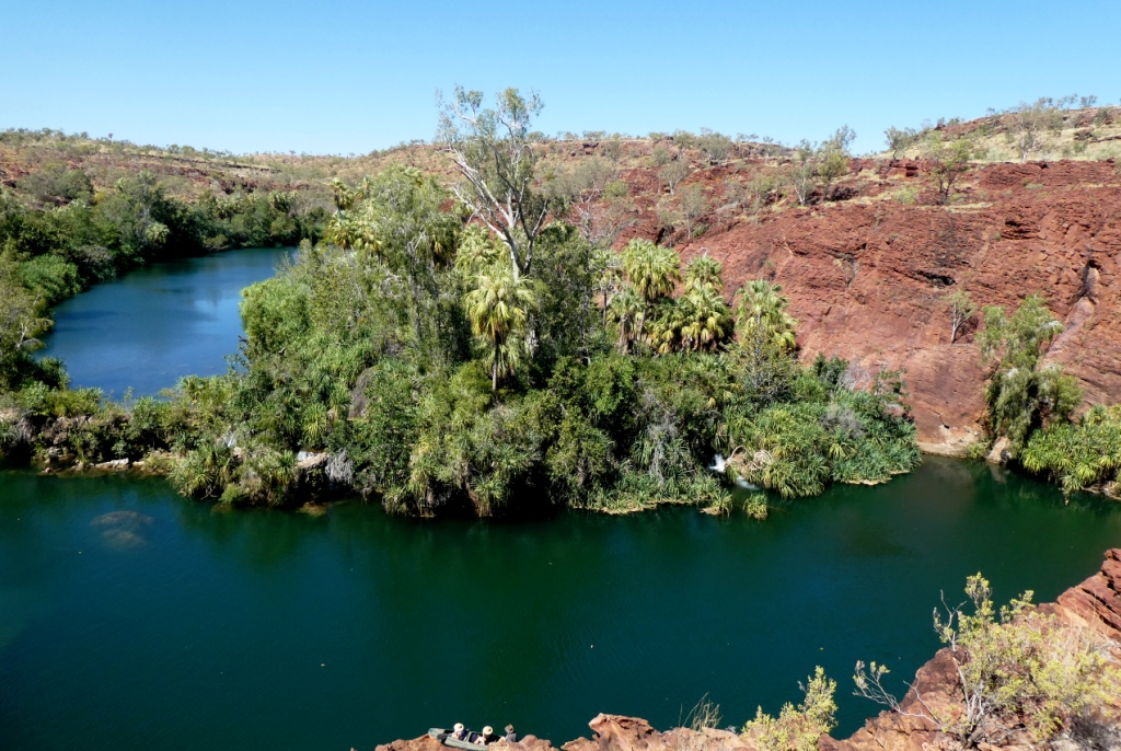
23 October 2023 | Great Keppel Island
07 August 2023 | Trinity Inlet, Cairns, North Queensland
23 July 2023 | Trinity Inlet, Cairns, Far North Queensland.
07 July 2023 | Cairns
19 May 2023 | North West island, Capricornia Cays, Queensland
15 May 2023 | Burnett River, Bundaberg, Queensland.
29 April 2023 | Manly marina, Moreton Bay, Queensland, Australia
04 March 2023 | South Auckland, New Zealand
18 January 2023 | Gold Coast Broadwater, Queensland
17 November 2022 | Collie, Southern WA, Australia
29 October 2022 | Albany, SW Australia
14 October 2022 | Augusta, WA, Australia
15 August 2022 | Karragarra Passage, Southern Moreton Bay, Queensland, Australia
14 July 2022 | Raby Bay, off Moreton Bay, Queensland
13 June 2022 | Camooweal, Far West Queensland
20 May 2022 | Alice Springs, Northern Territory, Australia
Following the Red and White Stripes Through the Land of the Kaori and the Kagu
01 January 2018 | Port Ouenghi, Bouloupari, New Caledonia
Alison and Geoff, hot and calm

Photo shows the typical red and white striped balise (sign) of the French GR.
We rarely sit still for long and as we have decided to stay in New Caledonia until May, basically for the cyclone season, this has given us the chance to do some short and longer treks. We started first with the 830 metre Mont Dore near to Noumea and then we climbed Mont Mou to a similar height and Pic Nga in Isle de Pins. We then decided that the multi day GR NC 1 (Grand Randonee or "Great Walk"), covering more than 70 km, just fitted in nicely with our hiking intentions. Even though we have been to New Caledonia a few times before, we have kept mainly to the coast, (with one memorable exception ** see below) so have stuck to short walks only.
We thought that the most difficult part would be getting to the start of the walk and getting back at the end. Both proved to be far easier than the actual walk in the end.
We hopped off the Yate bus at the entrance to the Riviere Bleue provincial park and walked 2.5 km with loaded packs to cover the 4 to 5 day hike.
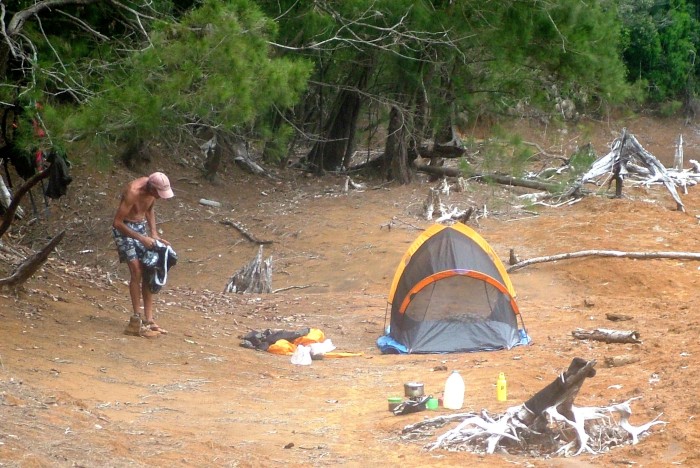
We always carry a tent, even if shelters or huts are available enroute, just in case they are full. The first night we camped at the park entrance station. We were allowed to camp anywhere, so the first night was spent near the refuge (hut), so we had access to water and loos. We had a nice night with a loud dawn chorus reminding us to get up early to avoid the summer heat. We couldn't pay our $2 park fee until the office opened at 7 am, which was 2 hours after dawn.
Once on the way, the 1st obstacle was a 500 m. hill over 5 km, which took us to the park's main car park. This is where all visitors must leave their cars and either walk, cycle or take the shuttle minibus to various places in the park. It was a bit of a hot slog but quite doable and we were happy to gulp down a few litres of spring water at the bottom. We crossed Riviere Blanche and took the old mining road up over another hill into the Riviere Bleue valley. That's where our next camping spot was for the night.

Riviere Blanche from a maquis covered hill top
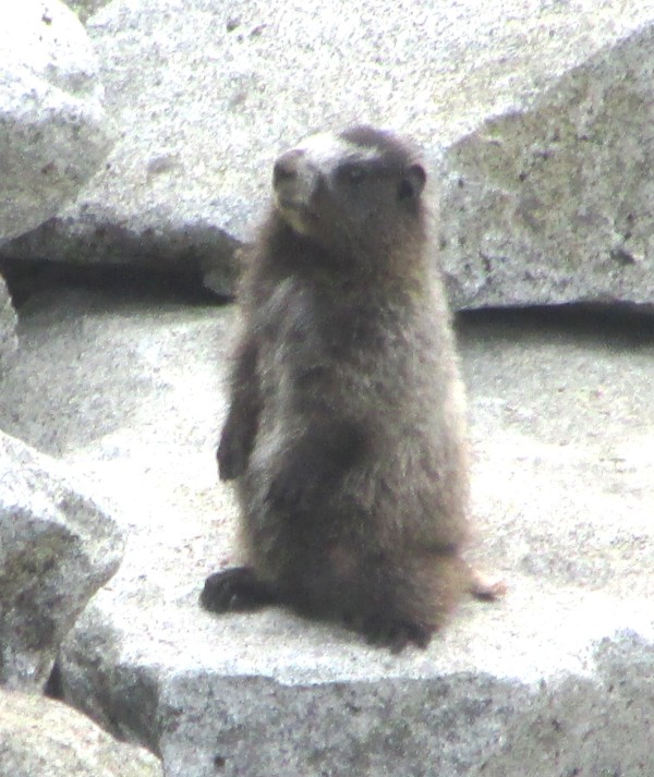
We were quite alone, apart from the cagou, an endemic, almost flightless bird with no known similarities to any other bird except a species in Central America! Cagous are NC's national emblem. They are endangered, but predator control in the park has seen a growth in numbers.

One of 3 cagou (kagu) seen near Riviere Bleue, a bird the size of a large chicken. It behaves like a weka, but looks like nothing we have ever seen before!
The river water temperature was just right for a cool dip, so that's what we did.
Camp on the bank of Riviere Bleue
The next day after being awaken by the dawn chorus we packed up and walked to the end of the unsealed road into the dense rainforest where ancient kaori (same genus as the NZ kauri and others on various Pacific islands) could be found in abundance. One (le kaori geant) has its own track and info. and is estimated to be around 1,000 years old. Quite a specimen, about half the size of Tane Mahuta in Northland, NZ.

Le Kaori Geant near Riviere Bleue, probably the largest surviving kauri in New Cal.
Trouble with the track started brewing once we left the unsealed road and were greeted by what one would call a series of jagged stepping stones which we had to guide our feet around. We were wondering what had happened to the "great walk". This continued for a couple of hours until we headed on to the river crossing, which fortunately was only knee deep due to lack of rain.
The Riviere Bleue looking mellow near Pont Germain
Corne du Diable Deuxieme (The Second Horn of the Devil!) is totally dangerous and untenable in heavy rain. After sitting by the river for a while after walking for at least 8 hours, Geoff nipped up the track to see if he could find the park refuge (hut). He found it within 5 minutes, so we filled our 5 litre water container and decided to use our rather thin camping mats on the hard wooden floor in the hut as there were no soft camping spots. As well as a fire extinguisher it had a mountain radio installation powered by solar panels. Guess the lack of mobile reception accounts for this.

Geoff examining the small A frame refuge perched on a ridge above the sometimes dangerous Corne du Diable 2 river crossing
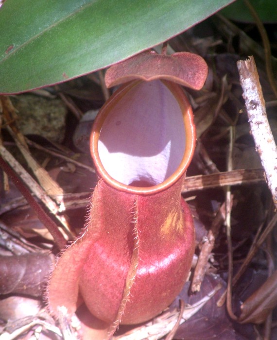
Despite the fact the walk has a spread of small maps and leaflets, sometimes it's best to ignore them. The third day was arduous to say the least. It was comprised of rocks that somehow need to be negotiated, tree roots and steps that were made from blocks of wood and rocks to stop erosion. To add to that was an upward climb from 400m to nearly 1,200m, not forgetting the downs and ups in between. In the maquis areas we saw quite a lot of pitcher plants. New Cal. only has one species of this carnivorous plant that originates from Borneo.
Nepenthes - a pitcher plant (carnivorous), common in the maquis
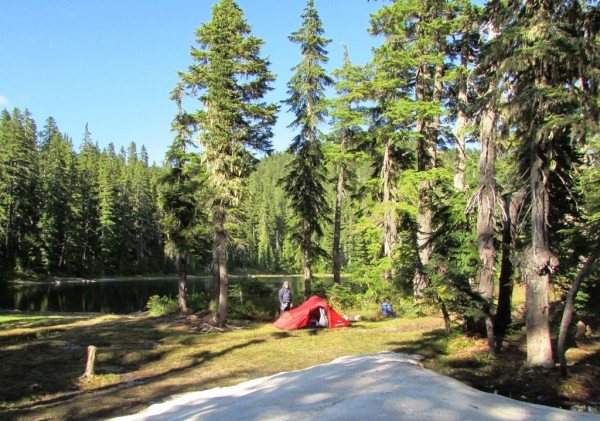
The ruggedness of the terrain meant we could barely make 1 km an hour. Fortunately, there were plenty of streams along the way, which we needed in the humidity, even though we were under cover in the rainforest for much of the time. We didn't reach the Mine de Soleil refuge at almost 1,200m until more or less dusk and found a nice soft, spongy grassy area to pitch our tent. It was also cool and misty.
Comfy campsite by the 1150m Mine de Soleil refuge. The name comes from a nearby 19th century nickel mine.
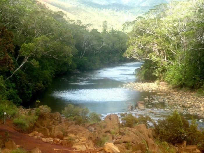
We were worrying that night about the standard of the track back to sea level the next day, so we were up at the dawn chorus to tackle the track below us. There were a fair number of rocks to negotiate in the rainforest, but once out of it, it was fairly well contoured down to the bottom of the first valley, which was a drop of 500m. We had to slog it up again to 750 m before finally dropping into the dammed Dumbea Valley - the water source for Noumea.

The Dumbea River downstream of the barrage and end of the GR NC1
The scenery was nice, but the rocks were too hot to even touch! Vehicles aren't allowed up to the barrage, but we saw a few cyclists and walkers with dogs making their way up to the dam to view its alarmingly low level. There had been no real rain for days, probably weeks. We camped in a free campsite near the locked gate.
After being woken by the dawn chorus, the final half day of 8 km took us through the small horticultural and lifestyle area of the Dumbea Valley. Quite a pleasant area with plenty of trees for birds. Just a couple of km from the bus stop and 5 km or so from our start that morning a young woman stopped and asked us if we wanted a lift. We accepted and she knew we had come from the other end of the trail as she had not only done the walk herself, but has also done a lot of tramping in the South Island of NZ.
It was strange how we started communicating in our somewhat garbled French and her similar English, but after a few minutes she was speaking English almost fluently. Lucky her!!! We always try our French first, but we are most surprised how much people want to show off their English, whether they are in an Asian run store, a bus driver, or a local Kanak at a bus stop.
We just got to Noumea on time to rush to the local Casino supermarket to buy some wine, cheese and baguettes and board the bus for the one hour ride to the tun off to Port Ouenghi Marina. We staggered off the bus and within minutes of walking a local guy stopped and offered us a lift. Port Ouenghi is a lifestyle settlement, 60 km from Noumea. Virtually every home has a fence and a pack of hounds, some of which wag their tails and others who definitely do not!
We guessed the man who picked us up was intrigued about what 2 old people covered in red mud and dust carrying overly heavy backpacks were doing in his neighbourhood. Anyway, amidst smiles, he soon found out. Saraoni was just fine and as we had left the fridge on there was ice cold water in it as a result of solar energy.
After a few days rest and catching up on our backlog of writing tasks we intend on spending 10 days criss crossing the island by cycle.

** Rather fuzzy photos taken of our first "great walk" in New Cal. in 1978. It was the first tramp that we had done together. Typical of that time, we had picked somewhere that had no info. about it. We crossed over from the Tanghene to the Ouaieme river valleys without a map, food or common sense, getting lost, climbing down a huge waterfall and getting very hungry. The area (Mt Panie near Hienghene in the NE of Grande Terre) is now out of bounds because of kauri dieback disease, a fungal disease that is also crippling NZ's well known kauri stands.
We rarely sit still for long and as we have decided to stay in New Caledonia until May, basically for the cyclone season, this has given us the chance to do some short and longer treks. We started first with the 830 metre Mont Dore near to Noumea and then we climbed Mont Mou to a similar height and Pic Nga in Isle de Pins. We then decided that the multi day GR NC 1 (Grand Randonee or "Great Walk"), covering more than 70 km, just fitted in nicely with our hiking intentions. Even though we have been to New Caledonia a few times before, we have kept mainly to the coast, (with one memorable exception ** see below) so have stuck to short walks only.
We thought that the most difficult part would be getting to the start of the walk and getting back at the end. Both proved to be far easier than the actual walk in the end.
We hopped off the Yate bus at the entrance to the Riviere Bleue provincial park and walked 2.5 km with loaded packs to cover the 4 to 5 day hike.
We always carry a tent, even if shelters or huts are available enroute, just in case they are full. The first night we camped at the park entrance station. We were allowed to camp anywhere, so the first night was spent near the refuge (hut), so we had access to water and loos. We had a nice night with a loud dawn chorus reminding us to get up early to avoid the summer heat. We couldn't pay our $2 park fee until the office opened at 7 am, which was 2 hours after dawn.
Once on the way, the 1st obstacle was a 500 m. hill over 5 km, which took us to the park's main car park. This is where all visitors must leave their cars and either walk, cycle or take the shuttle minibus to various places in the park. It was a bit of a hot slog but quite doable and we were happy to gulp down a few litres of spring water at the bottom. We crossed Riviere Blanche and took the old mining road up over another hill into the Riviere Bleue valley. That's where our next camping spot was for the night.
Riviere Blanche from a maquis covered hill top
We were quite alone, apart from the cagou, an endemic, almost flightless bird with no known similarities to any other bird except a species in Central America! Cagous are NC's national emblem. They are endangered, but predator control in the park has seen a growth in numbers.
One of 3 cagou (kagu) seen near Riviere Bleue, a bird the size of a large chicken. It behaves like a weka, but looks like nothing we have ever seen before!
The river water temperature was just right for a cool dip, so that's what we did.
Camp on the bank of Riviere Bleue
The next day after being awaken by the dawn chorus we packed up and walked to the end of the unsealed road into the dense rainforest where ancient kaori (same genus as the NZ kauri and others on various Pacific islands) could be found in abundance. One (le kaori geant) has its own track and info. and is estimated to be around 1,000 years old. Quite a specimen, about half the size of Tane Mahuta in Northland, NZ.
Le Kaori Geant near Riviere Bleue, probably the largest surviving kauri in New Cal.
Trouble with the track started brewing once we left the unsealed road and were greeted by what one would call a series of jagged stepping stones which we had to guide our feet around. We were wondering what had happened to the "great walk". This continued for a couple of hours until we headed on to the river crossing, which fortunately was only knee deep due to lack of rain.
The Riviere Bleue looking mellow near Pont Germain
Corne du Diable Deuxieme (The Second Horn of the Devil!) is totally dangerous and untenable in heavy rain. After sitting by the river for a while after walking for at least 8 hours, Geoff nipped up the track to see if he could find the park refuge (hut). He found it within 5 minutes, so we filled our 5 litre water container and decided to use our rather thin camping mats on the hard wooden floor in the hut as there were no soft camping spots. As well as a fire extinguisher it had a mountain radio installation powered by solar panels. Guess the lack of mobile reception accounts for this.
Geoff examining the small A frame refuge perched on a ridge above the sometimes dangerous Corne du Diable 2 river crossing
Despite the fact the walk has a spread of small maps and leaflets, sometimes it's best to ignore them. The third day was arduous to say the least. It was comprised of rocks that somehow need to be negotiated, tree roots and steps that were made from blocks of wood and rocks to stop erosion. To add to that was an upward climb from 400m to nearly 1,200m, not forgetting the downs and ups in between. In the maquis areas we saw quite a lot of pitcher plants. New Cal. only has one species of this carnivorous plant that originates from Borneo.
Nepenthes - a pitcher plant (carnivorous), common in the maquis
The ruggedness of the terrain meant we could barely make 1 km an hour. Fortunately, there were plenty of streams along the way, which we needed in the humidity, even though we were under cover in the rainforest for much of the time. We didn't reach the Mine de Soleil refuge at almost 1,200m until more or less dusk and found a nice soft, spongy grassy area to pitch our tent. It was also cool and misty.
Comfy campsite by the 1150m Mine de Soleil refuge. The name comes from a nearby 19th century nickel mine.
We were worrying that night about the standard of the track back to sea level the next day, so we were up at the dawn chorus to tackle the track below us. There were a fair number of rocks to negotiate in the rainforest, but once out of it, it was fairly well contoured down to the bottom of the first valley, which was a drop of 500m. We had to slog it up again to 750 m before finally dropping into the dammed Dumbea Valley - the water source for Noumea.
The Dumbea River downstream of the barrage and end of the GR NC1
The scenery was nice, but the rocks were too hot to even touch! Vehicles aren't allowed up to the barrage, but we saw a few cyclists and walkers with dogs making their way up to the dam to view its alarmingly low level. There had been no real rain for days, probably weeks. We camped in a free campsite near the locked gate.
After being woken by the dawn chorus, the final half day of 8 km took us through the small horticultural and lifestyle area of the Dumbea Valley. Quite a pleasant area with plenty of trees for birds. Just a couple of km from the bus stop and 5 km or so from our start that morning a young woman stopped and asked us if we wanted a lift. We accepted and she knew we had come from the other end of the trail as she had not only done the walk herself, but has also done a lot of tramping in the South Island of NZ.
It was strange how we started communicating in our somewhat garbled French and her similar English, but after a few minutes she was speaking English almost fluently. Lucky her!!! We always try our French first, but we are most surprised how much people want to show off their English, whether they are in an Asian run store, a bus driver, or a local Kanak at a bus stop.
We just got to Noumea on time to rush to the local Casino supermarket to buy some wine, cheese and baguettes and board the bus for the one hour ride to the tun off to Port Ouenghi Marina. We staggered off the bus and within minutes of walking a local guy stopped and offered us a lift. Port Ouenghi is a lifestyle settlement, 60 km from Noumea. Virtually every home has a fence and a pack of hounds, some of which wag their tails and others who definitely do not!
We guessed the man who picked us up was intrigued about what 2 old people covered in red mud and dust carrying overly heavy backpacks were doing in his neighbourhood. Anyway, amidst smiles, he soon found out. Saraoni was just fine and as we had left the fridge on there was ice cold water in it as a result of solar energy.
After a few days rest and catching up on our backlog of writing tasks we intend on spending 10 days criss crossing the island by cycle.
** Rather fuzzy photos taken of our first "great walk" in New Cal. in 1978. It was the first tramp that we had done together. Typical of that time, we had picked somewhere that had no info. about it. We crossed over from the Tanghene to the Ouaieme river valleys without a map, food or common sense, getting lost, climbing down a huge waterfall and getting very hungry. The area (Mt Panie near Hienghene in the NE of Grande Terre) is now out of bounds because of kauri dieback disease, a fungal disease that is also crippling NZ's well known kauri stands.
Comments
| Vessel Name: | Saraoni (1) and Sundari (2) |
| Vessel Make/Model: | South Coast 36 and Beneteau 473 respectively |
| Hailing Port: | Lamb Island, Australia |
| Crew: | Alison and Geoff Williams |
| About: | |
| Extra: | CONTACT DETAILS Telephone / SMS number +61 456 637 752 (Australian mobile no.) +64 28 432 5941 NZ mobile no.) Email yachtsundari@gmail.com (main email address) |
Saraoni (1) and Sundari (2)'s Photos - Main
.JPG) |
A collection of photos taken while teaching and cruising in PNG's Milne Bay Province
74 Photos
Created 29 April 2023
|
 |
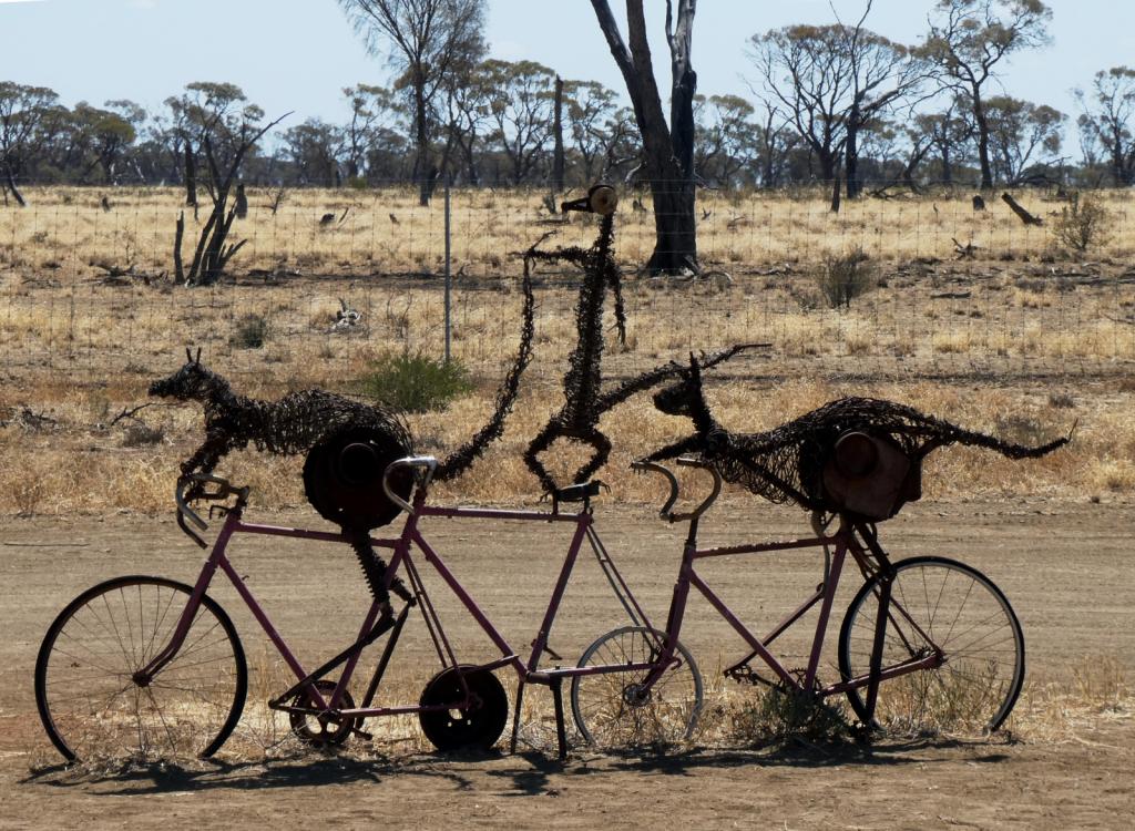 |
Some rather idiosyncratic metal sculptures in outback Queensland between Aramac and Lake Dunn
8 Photos
Created 27 September 2020
|
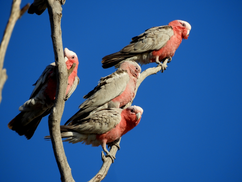 |
Birds and other critters on our Queensland inland safari
12 Photos
Created 27 September 2020
|
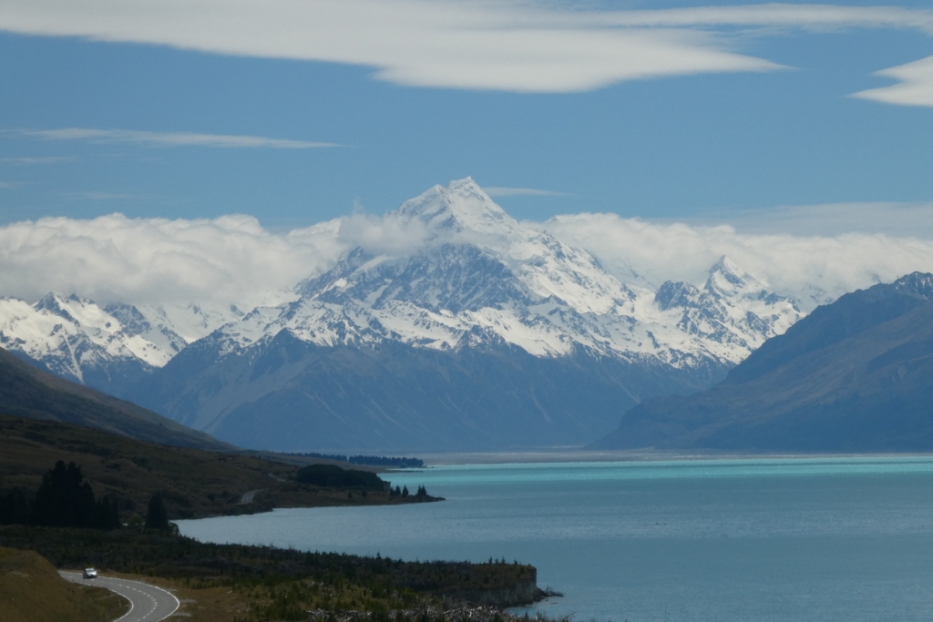 |
A collection of photos taken during the Tiki Tour of the Southern half of the South Island, November / December 2019
40 Photos
Created 15 December 2019
|
 |
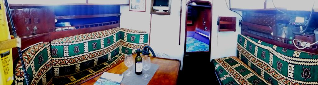 |
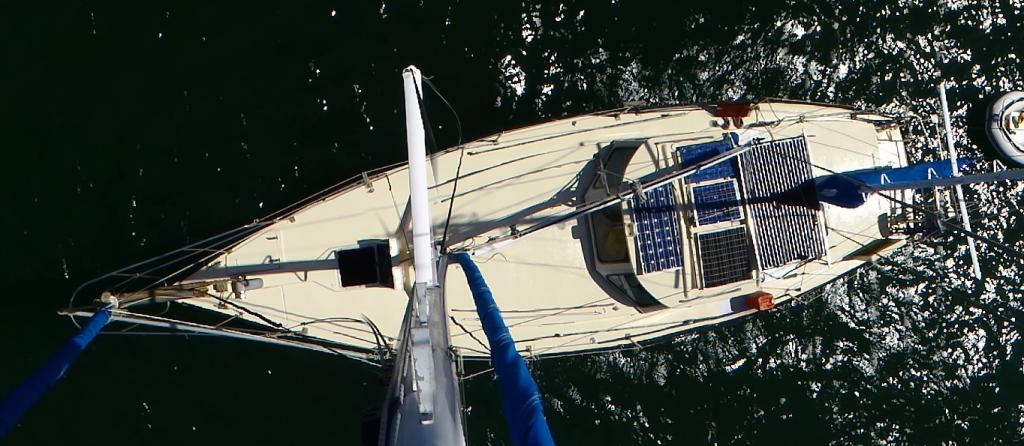
Photos taken of Saraoni. All interior photos were taken in the last week.
10 Photos
Created 2 April 2019
|
 |
50 Photos
Created 27 June 2014
|
 |
The ABCs - Aruba, Bonaire and Curacao are mostly low lying dry, scrubby islands in the Western Caribbean near the Venezuelan coastline
15 Photos
Created 21 May 2014
|
 |
 |
 |
Images taken in and around Suriname's capital
40 Photos
Created 9 February 2014
|
 |
 |
Images of the 2 islands in the Cape Verde island group we visited on our way across the Atlantic in 2013 - Sao Vicente and Santo Antaao.
37 Photos
Created 26 December 2013
|
 |
 |
 |
 |
 |
 |
Unexpected meeting with old friends "in the woods".
6 Photos
Created 24 June 2013
|
 |
A brother found amongst the gorges of the Cevennes
5 Photos
Created 10 June 2013
|
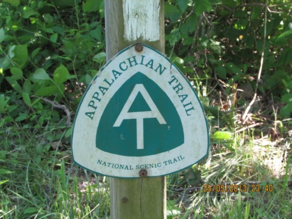 |
Photographic images of our long walk along the Appalachian mountains in the USA
26 Photos
Created 10 June 2013
|
 |
 |
 |
 |
 |
 |
 |
Greece is in the throes of a recession, but they still have the last laugh - never far from the sun, the sea, colour, culture and bags of history. The photos document our Aegean odyssey from May to September 2011
31 Photos
Created 17 December 2011
|
 |
O.K. We're mad, but we somehow prefer a home on the sea to one on dry land.
12 Photos
Created 17 December 2011
|
 |
Kathmandu, Patan and Bhaktapur - the three ancient city states of the Kathmandu valley have mediaeval architectural wonders in their Durbars and old town areas - a meshing and merging of Hinduism, Buddhism and materialism
9 Photos
Created 17 December 2011
|
 |
Some of the shots taken of us while on one of our 30 odd days on the three main mountain trails we walked in the Anapurnas and Helambu region of Nepal's side of the Himalayas
10 Photos
Created 15 December 2011
|
 |
People make the Himalayas a unique place to walk through. From Hindu rice and buffalo farmers in the foothills to the Buddhist villages in the highlands so influenced by Tibetan ancestry and trade over the passes
16 Photos
Created 15 December 2011
|
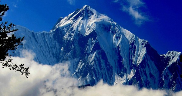 |
Nepal has ten of the world's highest mountains within its boundaries or shared with India and Tibet - these are truly giant peaks!
22 Photos
Created 15 December 2011
|
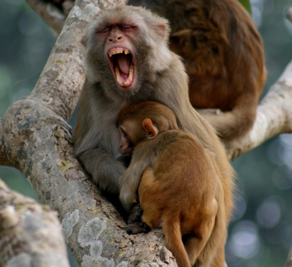 |
These were all photographed in the wilds of Chitwan and Bardia National Parks - which are two of the last havens of biodiversity in Nepal's low lying Terai district.
18 Photos
Created 14 December 2011
|
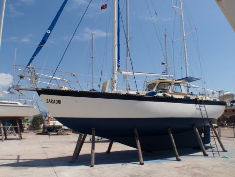 |
Saraoni hauled out on Finike's hardstand for biennial maintenance and painting
3 Photos
Created 26 April 2011
|
 |
 |
 |
 |
 |
 |
 |
 |
 |
The small rocky island of Kastellorizou is Greece's most remote island
7 Photos
Created 11 December 2010
|
 |
Cruising and walking Turkey's Lycian coast September and October 2010
19 Photos
Created 11 December 2010
|
 |
 |
Images taken while walking sections of the 500 km Lycian Way or Lykia Yolu on the South West Mediterranean Coast of Turkey
11 Photos
Created 9 November 2010
|
Exploring as Much as We Can Until We Can't
Who: Alison and Geoff Williams
Port: Lamb Island, Australia
Blog Categories by Year
- 2023 Aust NZ
- 2022 Aust
- 2021 Aust
- 2020 Aust, NZ
- 2019 Aust, NZ
- 2018 New Cal Aust and NZ
- 2017 NZ, Aust, Tonga, Fiji, New Caledonia
- 2016 NZ Niue and Canada
- 2015 Pacific Crossing Panama to NZ, Galapagos, French Polynesia, Cooks, American Samoa and Tonga
- 2015 and 2014 Suriname Colombia Panama and Costa Rica
- 2014 U.S. Cycle trip
- 2014 Caribbean Islands Trinidad to Aruba
- 2014 Atlantic Crossing Cape Verdes to Suriname
- 2013 Cape Verdes, West Africa
- 2013 Canaries Post USA
- 2013 U.S.A. Hiking Trips Appalachians and Cascades
- 2013 Canaries Pre U.S.A.
- 2013 Morocco
- 2012 South Africa and Swaziland
- 2012 Mediterranean Spain and France
- 2012 Italy
- 2012 and 2011 Greece
- 2011 A Quarter Century on the Sea
- 2011 Nepal
- 2011 and 2010 Turkey
- 2010 Oman Yemen the Red Sea and Israel
- 2010 South Asia: India and Sri Lanka
- 2009 Malaysia and Thailand
- 2009 and 2008 Aust and SE Asia
- 2007 Australia
- 2006 NZ to New Caledonia and Australia
- A Tale of Three Boats
- 1978 to 2018 Perspectives on a Long Journey
SailBlogs Friends

