
Seabird Voyages
14 May 2012 | Still at BSM
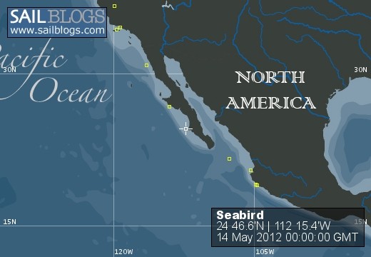
14 May 2012 | Bahia Santa Maria just N of Magdalena Bay
27 April 2012 | Fresno
27 April 2012 | Marina Riviera Nayarit
06 April 2012 | N N'N:E E'E, Pasadena
17 March 2012 | Banderas Bay
31 January 2012 | Marina Riviera Nayarit MX
30 January 2012 | Mid-way point
24 January 2012 | Bahia Santa Maria
21 January 2012 | South Coronado Island, Mexico
30 October 2011 | Prisoner's Harbor, Santa Cruz Island
25 April 2011 | Off Newport Beach
08 April 2011 | South of Todos Santos and Ensenada
04 April 2011 | East of Cedros Island
04 December 2010 | The Marina at La Cruz de Huanacaxle
24 October 2010 | San Diego
19 July 2010 | Ventura Yacht Club
13 June 2010 | San Diego
16 May 2010 | South of Pt Loma
11 May 2010 | Turtle Bay
Weather glitch starting at about Colnett
08 April 2011 | South of Todos Santos and Ensenada
Lou Freeman
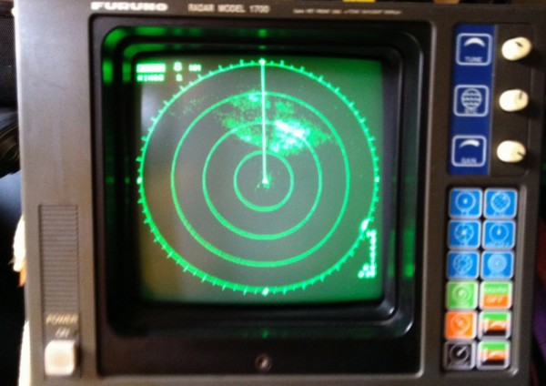
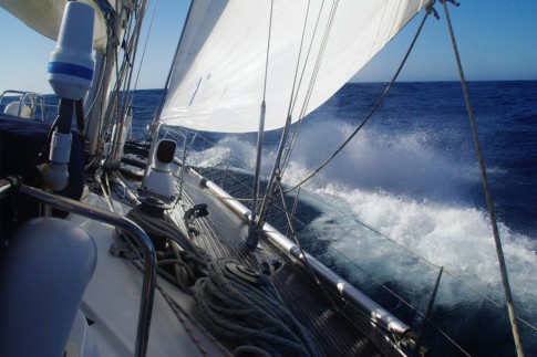
The surf in San Quintin was un-nerving and after 2 nights there, with smooth weather forecast, I departed for San Diego in company with Marionetta and Going South. The trip started out very calm but as the day progressed squalls appeared ahead with distinct radar signatures and some welcome breezes. The clouds and sky to the west and north were very menacing. Having a cell phone connection near Colnett I called Chris and Jean in San Diego for some weather info. They emailed back the following:
410 PM PDT FRI APR 8 2011
CAZ042-043-048-050-057-060>062-PZZ750-775-091115- ORANGE COUNTY COASTAL AREAS-SAN DIEGO COUNTY COASTAL AREAS- COASTAL WATERS FROM SAN MATEO POINT TO THE MEXICAN BORDER AND OUT 30 NM- WATERS FROM SAN MATEO POINT TO THE MEXICAN BORDER EXTENDING 30 TO 60 NM OUT INCLUDING SAN CLEMENTE ISLAND- 410 PM PDT FRI APR 8 2011
THIS HAZARDOUS WEATHER OUTLOOK IS FOR PORTIONS OF EXTREME SOUTHWESTERN CALIFORNIA.
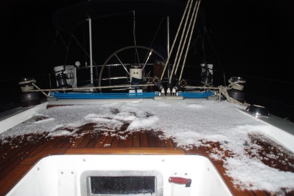
.DAY ONE...REST OF TODAY AND TONIGHT COLD UPPER LEVEL LOW WILL CONTINUE TO BRING SCATTERED SHOWERS AND ISOLATED THUNDERSTORMS TO SOUTHERN CALIFORNIA TODAY. THESE ISOLATED THUNDERSTORMS WILL BE CAPABLE OF PRODUCING GUSTY WINDS...SMALL HAIL...BRIEF HEAVY RAIN AND THERE IS THE POTENTIAL FOR WATER SPOUTS OVER THE COASTAL WATERS. At least I never saw any water spouts but the hail and lightning were very evident. By early AM, north of Todos Santos on 9 April every thing was sunny and clear up to San Diego. I have put some of the weather photos in an album. The 2011 Bash from Puerto Los Cabos to San Diego took 13 days with stops at Cabo San Lucas (2 nights), Turtle Bay (2 nights), San Carlos (1 night) and San Quintin (2 nights). I was then 6 days underway.
410 PM PDT FRI APR 8 2011
CAZ042-043-048-050-057-060>062-PZZ750-775-091115- ORANGE COUNTY COASTAL AREAS-SAN DIEGO COUNTY COASTAL AREAS- COASTAL WATERS FROM SAN MATEO POINT TO THE MEXICAN BORDER AND OUT 30 NM- WATERS FROM SAN MATEO POINT TO THE MEXICAN BORDER EXTENDING 30 TO 60 NM OUT INCLUDING SAN CLEMENTE ISLAND- 410 PM PDT FRI APR 8 2011
THIS HAZARDOUS WEATHER OUTLOOK IS FOR PORTIONS OF EXTREME SOUTHWESTERN CALIFORNIA.
.DAY ONE...REST OF TODAY AND TONIGHT COLD UPPER LEVEL LOW WILL CONTINUE TO BRING SCATTERED SHOWERS AND ISOLATED THUNDERSTORMS TO SOUTHERN CALIFORNIA TODAY. THESE ISOLATED THUNDERSTORMS WILL BE CAPABLE OF PRODUCING GUSTY WINDS...SMALL HAIL...BRIEF HEAVY RAIN AND THERE IS THE POTENTIAL FOR WATER SPOUTS OVER THE COASTAL WATERS. At least I never saw any water spouts but the hail and lightning were very evident. By early AM, north of Todos Santos on 9 April every thing was sunny and clear up to San Diego. I have put some of the weather photos in an album. The 2011 Bash from Puerto Los Cabos to San Diego took 13 days with stops at Cabo San Lucas (2 nights), Turtle Bay (2 nights), San Carlos (1 night) and San Quintin (2 nights). I was then 6 days underway.
Comments
| Vessel Name: | Seabird |
| Vessel Make/Model: | Swan 51 #27 |
| Hailing Port: | San Diego Homeport Ventura Yacht Club |
| Crew: | Lou, Marge, Wytie and Sally |
| About: | |
| Extra: | Much to do to prepare for another Mexican winter. svseabird@mac.com near wifi svseabird@gmn-usa.com off-shore text only |
Seabird's Photos - Main
 |
 |
Smoother trip to Santa Cruz Island
15 Photos
Created 6 November 2011
|
 |
 |
Turtle Bay, San Carlos and San Quintin to San Diego
27 Photos
Created 24 September 2011
|
 |
 |
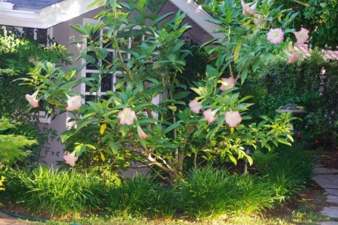
People and places encountered over this period.
15 Photos
Created 5 December 2010
|
 |
Marge made the calm crossing of the Sea of Cortez. In La Cruz we met up with old and new friends and then flew up to S an Diego for Chris and Jean's 40th birthday party.
15 Photos
Created 4 December 2010
|
 |
Just some pictures of our great crew. Phil and Joann were back for a 3rd trip with us.
29 Photos | 1 Sub-Album
Created 4 December 2010
|
 |
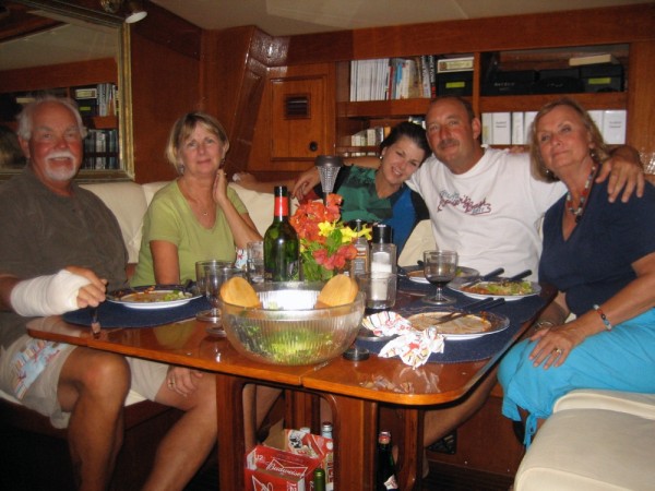
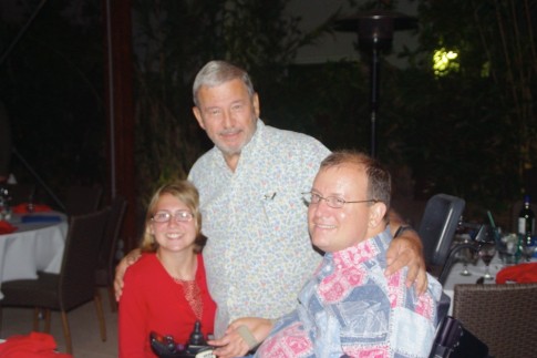
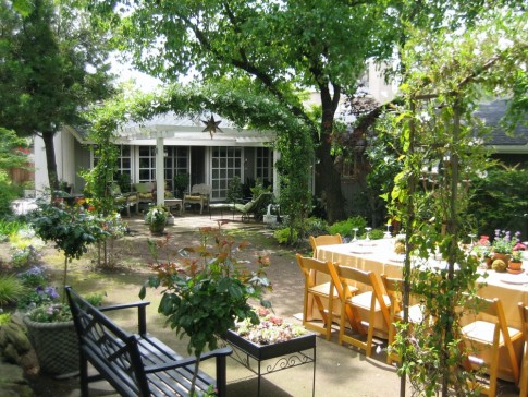
Some dinners and guests. Mostly at night because that is the most pleasant time during the summer.
27 Photos
Created 4 December 2010
|
 |
Scenes from Seabird Boot Camps
in Fresno, Pasadena and Ventura
30 Photos
Created 4 December 2010
|
 |
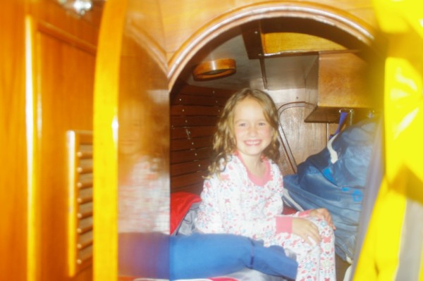
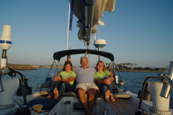
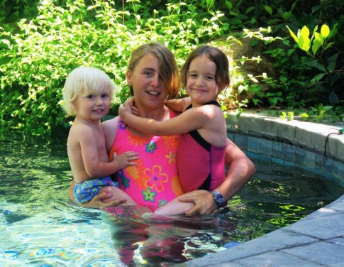
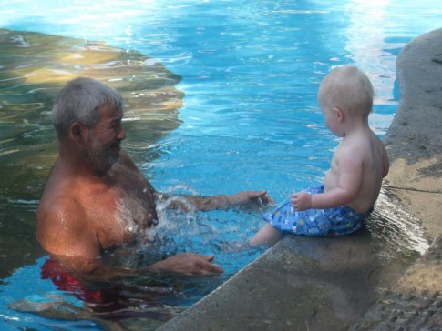
San Diego fun with kids and on to Sailing Camp at VYC
29 Photos
Created 3 December 2010
|
 |
The bash, BBQ at PLC and San Diego
29 Photos
Created 3 December 2010
|
 |
Half way through the Southern Crossing they arrived. Many spent the night and three went to PLC.
15 Photos
Created 19 August 2010
|
 |
 |
 |
 |
 |
 |
SEABIRD
Who: Lou, Marge, Wytie and Sally
Port: San Diego Homeport Ventura Yacht Club
Gallery


Favorites
No Links Added Yet