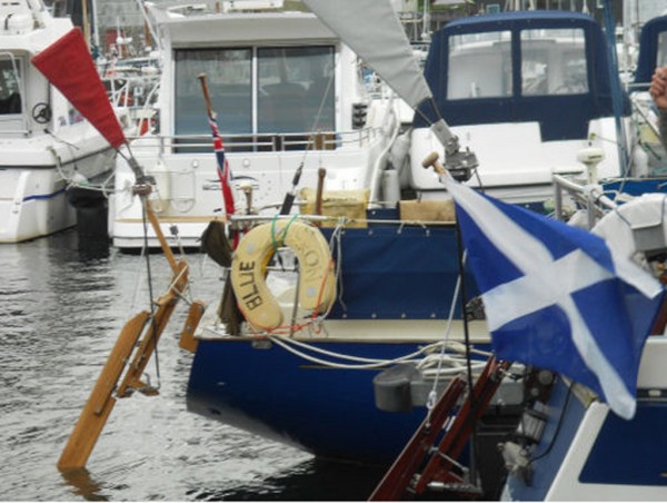
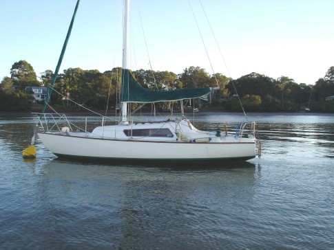
SV SEAKA: CRUISING AUSTRALIA IN 2019.
| Vessel Name: | SEAKA |
| Vessel Make/Model: | 1969 Top Hat Mark 1 |
| Hailing Port: | Camden Haven Inlet NSW Australia |
| Crew: | Phillip Bowman |
| About: | Sailing the Australian East Coast towards Lizard Island, 2019 |
| Extra: | The Top Hat Mark 1's were built by Baker in Sydney from 1965 to 1971. Seaka was built in 1969 and launched in 1970 from the boat ramp under the new Tom Ugly’s Bridge in Sydney. |
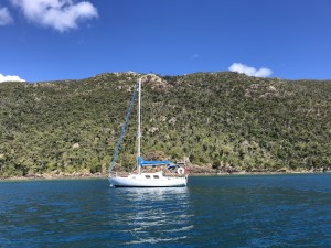
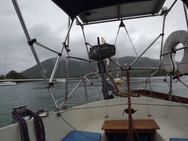
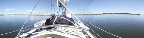
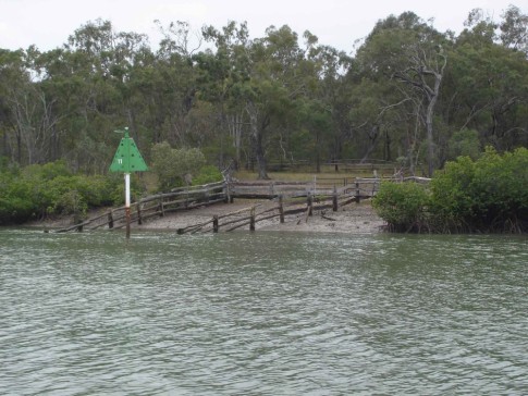
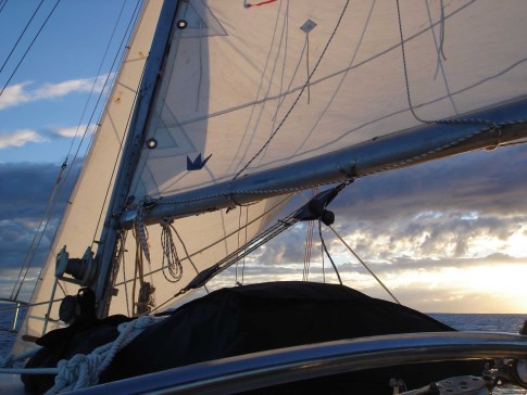
09 December 2019 | Dunbogan in the Camden Haven Inlet NSW
04 October 2019 | Lawrie's Boatyard.
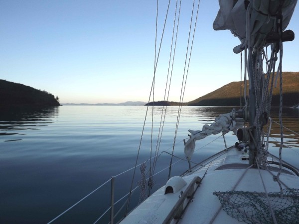
11 September 2019
30 August 2019 | MacKay Marina.
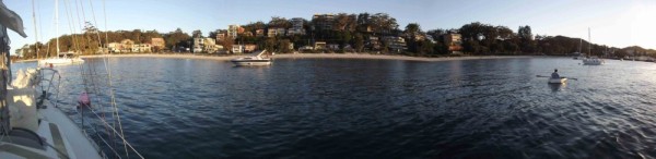
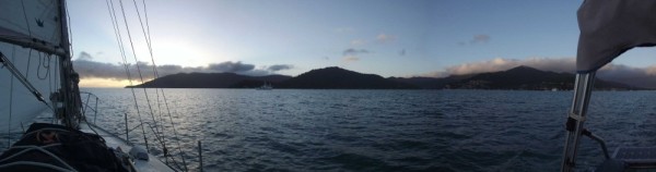
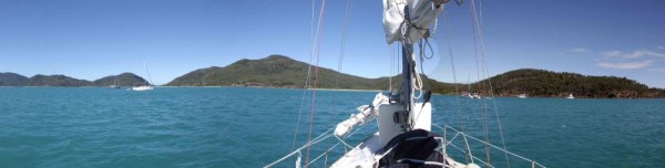
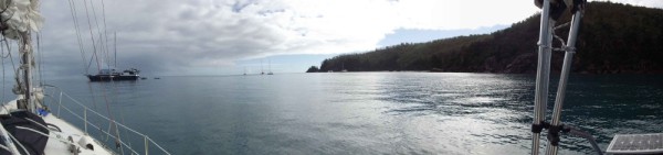
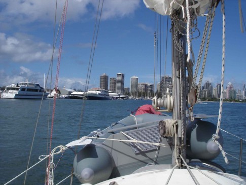
19 August 2019 | Airlie Beach
06 August 2019 | Airlie Beach
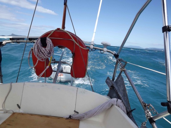
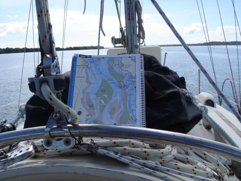
06 August 2019 | Approaching Pacific Creek and SunHill 9th July.
01 July 2019 | The Narrows.
08 June 2019
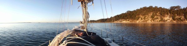
23 May 2019 | Dunbogan in the Camden Haven Inlet NSW
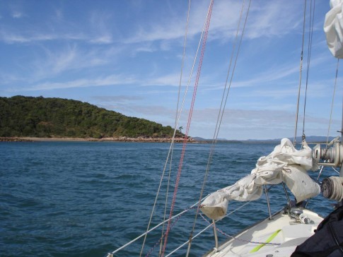
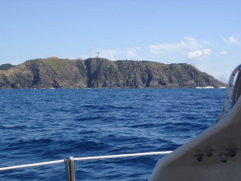
01 February 2017 | Approaching Port Stephen Heads
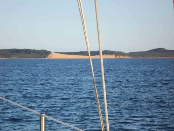
23 October 2015 | Camden Haven in sight at last.
14 October 2015
09 October 2015 | Moreton Bay
26 September 2015 | Off Pancake Creek
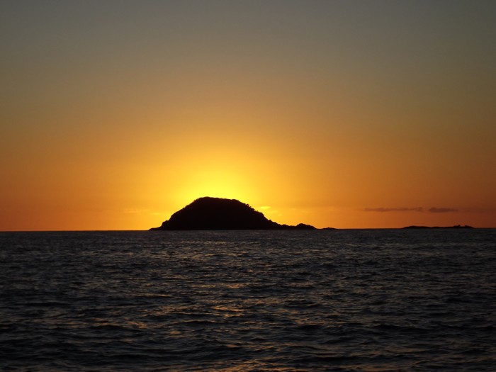
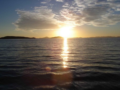
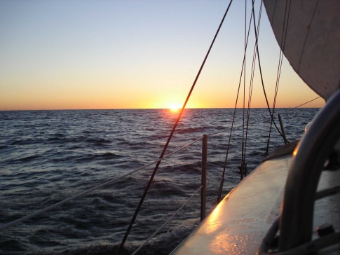
19 September 2015 | Sunrise beyond Round Island at the entrance to Port Clinton.
13 September 2015 | Island Head Creek
05 September 2015 | Outer Newry Island anchorage
01 September 2015 | Crayfish bay
30 August 2015 | Cape Gloucester
Recent Blog Posts
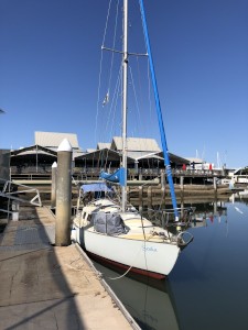
09 December 2019 | Dunbogan in the Camden Haven Inlet NSW
Mooloolaba to the Camden Haven Inlet and home.
On the work dock at the boat yard in Mooloolaba.
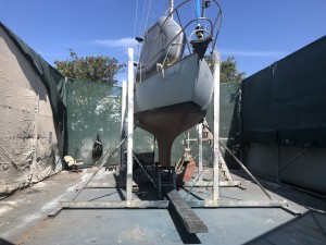
04 October 2019 | Lawrie's Boatyard.
Gladstone to Mooloolaba.
Moored on the working dock at Lawrie's Boat Yard.
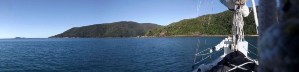
30 August 2019 | MacKay Marina.
Waiting at MacKay Marine for better weather
On the 8th August we set off from Airlie Beach to find the sea like glass as we made our way to Hook Passage and down the eastern side of Whitsunday Island to the Whitehaven Beach area. We finally anchored in Windy Bay on Haslewood Island, going ashore for a refreshing swim before dark.
06 August 2019 | Airlie Beach
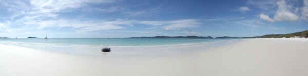
Airlie Beach to 7th August. Pearl Bay Beach
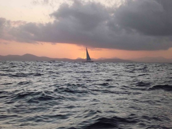
On Monday [22nd July] we were away at 0645 for the sail across to Curlew Island. This was one of our better sails with gentle winds, the tide with the wind and a low general swell. I arrived at noon in company of Lewie and Third Man. A lunch of pasta on Third man was enjoyed by all. We also found Sylphide [...]
Targinie Creek, Gladstone.
19 September 2015 | Sunrise beyond Round Island at the entrance to Port Clinton.
Overcast and windy.
After a week in Island Head Creek it was time to go with the better weather. We lifted the anchor at daylight and motored out of the creek. When we exited we were greeted with very black clouds that reached all the way down to the sea about 10 nautical miles ahead. While I had turned south I assessed the situation for some time and then I noticed that really, we were sitting in the same place! Yep, we were trying to head a 4 knot tidal current into the river and it wasn't working. Oh well, so turning Seaka's head around we headed back into the creek, at 6 knots!
Now every time I've visited Island Head Creek I have always got text messages just as I came in and this was about to be explained. Terry in "San-t-y" was anchored in just about that location and as I returned he was setting off north so I anchored in 3-4 meters where he had just been. What I found was the best phone and internet connection area of Island Head Creek.
For those who may need it the location is: Lat S 22⁰ 21.215'; Long E 150⁰ 39.464'
For general reference it's just past the third rock outcrop as you enter on the south side of the creek.
After a couple of phone calls and a check of the weather the rain had passed over us so I decided to try again. This time I moved further off shore before turning south. A lot better! After we cleared the immediate area of the creek the sea settled down and we started to make progress. We were heading for Port Clinton 11 nautical miles to the south. By doing this shorter trip we would be able to do the next section to Yeppoon in daylight. We eventually arrived at 1300 hours and found a new situation where large motor boats actually out numbered the yachts anchored there.
At daylight we again went to sea, but the conditions were now a lot better, even more so than yesterday. We went out in company of two other yachts and both got to Yeppoon some two hours before Seaka. We were all motoring and only getting about 1.5 knots out of our sails. During the early part of the day we saw a few pods of whales but as we moved deeper into the discharge area of the Fitzroy River the water became greener in colour and the whales moved off shore to avoid it. We had only one crash change of course to avoid whales today.
On arrival at Yeppoon we first tied to get on the fuel wharf but it was occupied by a large vessel so we went to our marina berth. Deciding I need a walk I went up and paid, then grabbing a marina trolley walked over to the petrol station to get 20 litres of diesel. So while I had a shower I put the washing on and the topped off the water tank in Seaka. That made us ready for The Narrows tomorrow.
I rose at daylight [0530] on Thursday and after a quick shower we were soon on our way. The sea was flat. Hence we motored the whole way with only a little lift from the sails at time. Compared to our last trip across this section of water it was a very calm deal. Now it had been my intention to go into Yellow Patch, but I was disappointed to hear that all vessels had been kicked out of Yellow Patch and the vicinity of Cape Capricorn by the Queensland National Parks as they are doing pest eradication work in the area. Seems I was always fated to not go into Yellow Patch. On the way into The Narrows we passed a large cargo ship [dangerous goods] anchored at the entrance. Eight hours after leaving Yeppoon we anchored in the last bit of water deep enough for the next two tide changes until we could go through with the noon high tide tomorrow.
The next morning at 1100 we lifted the anchor and at 3 knots proceeded south through The Narrows. Before I got to the first turn I had two large catamarans on my tail. As I passed the Cattle Crossing I saw a large motor boat heading north towards us. I have never seen so much traffic in The Narrows before and all at the shallowest part; well it was high tide I suppose. The motor boat steamed ahead with a large wake, as usual, they never look behind to see the carnage they cause. The first catamaran passed me and then we were into the shallowest part that dries to 2 metres above low water. I had thought that the strong SE winds may push water up The Narrows but was surprised by how much. The shallowest we had was 50 cm below the keel where when last heading north I reckoned I scraped the barnacles off the bottom of the keel. The second catamaran passed us then and we were on our own again.
As we moved south towards Gladstone I looked at places to anchor up for a few days. I considered two but seeing the catamarans anchored in Grahams Creek I decided to try there. After I anchored up I got on the internet [5 bars 4G] and checked the weather. Frankly it's not a good week to be cruising. Grahams Creek I quickly discovered is subject to tidal currents, the wind coming off the hills and whiffs of the flare in the gas works. No good, so I decided to retreat 2 nautical miles to Targinie Creek. We anchored in 5 metres with plenty of room to swing. There is only one other here, a motor boat.
A review of the weather today has us moving to Gladstone Marina on Monday morning for 24 hours to refuel and get some fresh food. We will sail for Pancake Creek on Tuesday and then Burnett Heads on Wednesday. The weather will, at this time, cause us to spend a day there before going up to Rooney Point on Fraser Island or into The Great Sandy Strait.
Comments
SEAKA's Photos - Main
 |
Photos of SEAKA's 2019 voyage
53 Photos
Created 8 June 2019
|
 |
 |
Solo Voyage to the Whitsunday Islands 2015
65 Photos
Created 23 March 2015
|
 |
The refit of Seaka in preparation to sail around Australia.
16 Photos
Created 28 December 2014
|
 |
 |
 |
 |
 |
 |
 |
 |
 |
 |
 |
 |
 |
 |
 |
 |
 |
 |
 |
 |
 |
 |
 |
 |
 |
 |
 |
 |
 |
The voyage from Camden Haven to Trail Bay.
10 Photos
Created 7 April 2011
|
 |
Showing the Camden Haven River, arrival of Seaka in Laurieton in 2002. Seaka's interior layout and Seaka at anchor.
10 Photos
Created 30 March 2011
|
About & Links
Favorites
SailBlogs Groups
SailBlogs Friends
