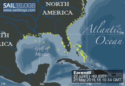
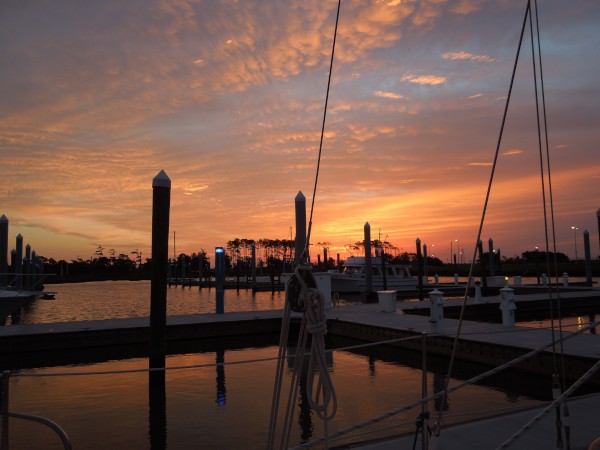
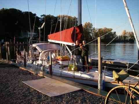
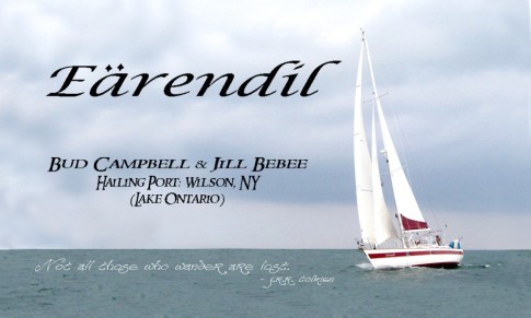
S/V Earendil
21 May 2016 | Snead Island Boat Works, Manatee River
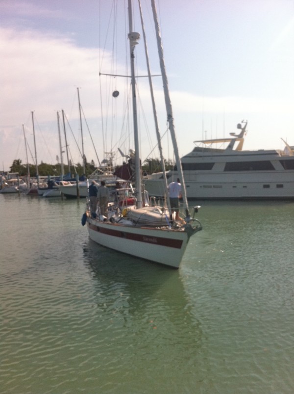
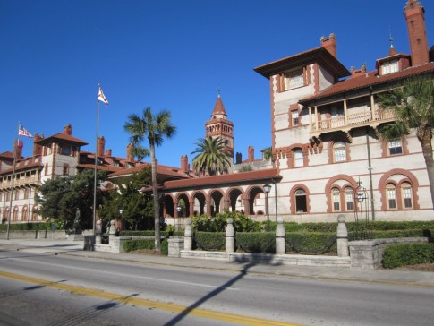
11 April 2016 | Regatta Pointe Marina, Palmetto, FL
17 March 2016 | Regatta Pointe Marina, Palmetto, FL
02 March 2016 | Regatta Pointe Marina, Palmetto, FL
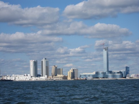
02 March 2016 | Crow's Nest Marina, Venice, FL
21 February 2016 | Ft. Meyers Beach Mooring Field
17 February 2016 | Gulf Harbor Marina, Fort Myers, FL
16 February 2016 | Gulf Harbor Marina, Fort Myers, FL
15 February 2016 | Gulf Harbor Marina, Fort Myers, FL
13 February 2016 | Ft. Meyers Beach Mooring Field
31 January 2016 | Ft. Meyers Beach Mooring Field
25 January 2016 | Burnt Store Marina, FL
21 January 2016 | Platinum Point Yacht Club, Burnt Store Marina, Charlotte Harbor Florida
20 January 2016 | Sarasota Mooring Field
28 December 2015 | Regatta Pointe Marina, Palmetto, FL
16 December 2015 | Regatta Pointe Marina, Palmetto, FL
06 December 2015 | Gulfport Municipal Marina, Gulfport, FL
02 December 2015 | Gulfport Municipal Marina, Gulfport, FL
30 November 2015 | Clearwater Harbor Marina, Clearwater, FL
28 November 2015 | Moorings Marina, Carrabelle, FL
Hokey Smoke, That Was Close!
11 April 2011 | Emerald Bay, Great Exuma
Jill
Well we certainly had an interesting sail today, thanks to me, the navigator. We had planned to go back from Thompson Bay on the route we came on as far as North Channel Rocks. From there we could stay on the outside of Stocking Island and not go into Elizabeth Harbour (Georgetown) and instead come back to Emerald Bay. (By the way, this is only the second time since we left Wilson that we have pulled into the same harbor twice. The first time was when we visited Georgetown again after going to Conception Island.) Going back a route we just took and going to a harbor and marina we've visited before should have made for a stress free day. But no, that's not good enough for me. I couldn't see why we couldn't cut right across from near White Cay to Emerald Bay instead of sailing close along the islands. It would cut several miles from our sail. I checked out the Exumas Chart Book and it didn't show the area at all. I went down and checked on our Navionics chart on the computer, if we cut through soon enough we could sail to the northeast of the reefs off Hog Cay.
So about 14 or 15 miles out of Thompson Bay we turned to make a direct line to Emerald Bay. I was concerned because I knew there were some rocks and reefs just to the southwest of our route, so as we got close to that area I went up on the bow to watch. According to the chart there was nothing off our starboard side except an area of weeds. There were no depths reported less than 16 feet. Still, I didn't want to run through any heavy weeds, so I was looking out for those, too.
There wasn't as much wind as we'd hoped. There was supposed to be 10 knots, but it was closer to 5, so we had the sails up but the engine running, too. With that little wind it was pretty easy to see. I was nervous because I could look down and see the big starfish on the bottom. Still, it was sand and well over 10 feet deep, so we were good. Finally I saw some of the reefs that were on the chart off to port. No problem, we didn't have to come anywhere near them. Then off to starboard I started to see breakers! Breakers!? There's not supposed to be anything on that side. Well, we were still well southwest of them, so we were OK. Then as we drew near it became clear that there was an area of shallow water, really shallow water, all the way across in front of us. At first we veered to port to stay away from it, but the chart showed rocks and reefs in that direction, so we knew we couldn't pass it to port. To starboard were those areas with breakers, still quite a ways off, but we knew we couldn't pass to starboard. So Bud slowed down and I looked for what looked like the deepest route through. We passed over one band of rocks and out onto a little deeper area with a sandy bottom. I looked out to port and saw what looked like a wreck off in the distance. Oh, great, there were more rocky areas ahead, breakers off to starboard and a wreck off to port! We had to pass over two more bands of rocks before we finally got to deep water. I was so glad the wind was light enough that Bud could just let the sails flop and steer through the tricky spots. And I was very glad to get to water that was 50 feet deep. It turns out that what I thought was a wreck was actually a rocky island. Bud said the shallowest it got was 7 feet 4 inches! Hokey Smoke, Bullwinkle, that was close! I'm glad I didn't know that until we were in the deep part again!
I went and got our other chart book and looked to see if any of the charts from Long Island included the area we'd just come through. Oh yeah, that would be the "shallow, unsurveyed area" with depths marked as low as 2 meters.
Happily, the wind picked up AFTER we were in the deep water again, and for the last 10 miles or so we sailed happily along at about 6.5 knots. Altogether we went about 45 nm, and probably saved 3 to 5 miles with that little dance with the reefs.
And there's no picture of this. I had the camera in my pocket but was just too scared to take it out and try to get a picture.
Comments
| Vessel Name: | Earendil |
| Vessel Make/Model: | Norseman 447 |
| Hailing Port: | Wilson, New York USA |
| Crew: | Bud Campbell & Jill Bebee |
| About: | We are a newly retired couple about to embark for points south. Our crew includes our 14 year old toy poodle, Knaidel, better known as Fuzzy. He is a somewhat reluctant crew member, but would rather sail than stay without us. |
Earendil's Photos - Main
 |
 |
 |
 |
 |
 |
 |
 |
 |
 |
 |
 |
 |
 |
 |
 |
 |
 |
 |
 |
 |
 |
 |
Who We Are
Who: Bud Campbell & Jill Bebee
Port: Wilson, New York USA