Around the world with S/V Zephyr
The adventures of Bill & Tracy as they fulfill their lifes dream of sailing the world. We've dreamed of this for years and now is the time while the health is still good and there is money in the kitty to make it come true.
05 January 2019 | Aurora
07 December 2018 | Aurora, Colorado
03 December 2018 | Aurora
15 November 2018 | Aurora
06 November 2018 | Aurora
01 November 2018 | Aurora
30 October 2018 | Aurora
16 October 2018 | Aurora
16 October 2018 | Aurora
14 October 2018 | Aurora
12 October 2018 | Aurora, Colorado
24 September 2018 | Aurora, Colorado
11 September 2018 | Aurora, Colorado
03 September 2018 | Aurora, Colorado
30 August 2018 | Aurora, Colorado
23 August 2018 | Aurora, Colorado
21 August 2018 | Aurora, Colorado
17 August 2018 | Aurora, Colorado
16 August 2018 | Aurora, Colorado
15 August 2018 | Aurora, Colorado
Second post of the day. One just wasn't enough.
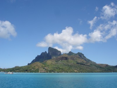
28 July 2011 | Bora Bora, French Polynesia.
Blowing and raining.
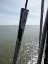
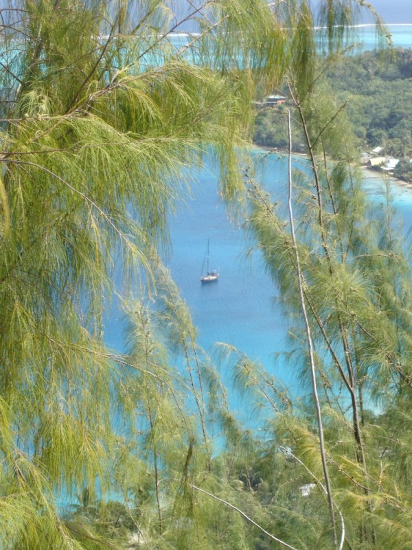
We upped the anchor in Baie Hurepiti after Dream Away and Soggy Paws had left and headed out of the bay making for Passe Papai to get outside the reef so we could head for Bora Bora. The wind was pretty much non existent so we were forced to motor the entire way. With the engine going, I fired up the water maker and let her rip for the entire trip across. It's about 20 miles across so not a big trip. Everyone is rushing to Bora Bora as a big front is headed into the area that will produce winds in the high 20 to 30 knot range so we are all getting prepared to hunker down for a few days. Bora Bora has several places that moorings are available. Some for free and some for 5,000($62.50US) francs for week. There is a new Yacht Club about to open and they are trying to attract people to it so they are offering theirs for free. Of course all of those were taken but if you were patient, you might get lucky if someone took off. Most of us are staying for the blow but there are those that want to take advantage of the winds to speed them along. The Bora Bora Yacht Club was the one charging for the buoys. We opted for heading around the north side of the island and dropping our anchor on the far southeast side. The thing about Bora Bora is that there is only one pass into the lagoon that surrounds the island. It's on the northwest side. We had motored right past the place where we wanted to anchor. We entered Passe Avamoa just about 1300 and headed north around the top of the island. If you have been following our post, you might remember where I talked about getting our hands on charts of the island that are used by Sunsail Charters. We have used these charts a lot to show us where lots of things are located and the best way to get around the islands. The chart we had for Bora Bora was a life saver as it showed exactly where we needed to go, turn by turn. It took us into water there was no way we would have entered if we had not had the chart. We traveled through water that only allowed 2.5 feet under the keel with coral all around us. We motored VERY slowly making sure to pay attention to the depth sounder as well as the Garmin chart plotter and the Sunsail charts. For once, I was at the wheel instead of Tracy. She normally takes control as we head into the islands. Today was "role reversal day". She stood outside giving directions as we went. Several times we just stopped and discussed what the charts said and how we felt about being in such shallow water. Coral can take a nice chunk out of a keel real fast. We came to one very tricky part of the trip on the north side and put our trust in the charts and slowly headed around the makers. Eventually(seemed like forever) we came free of the really shallow spots and headed along the east side of the island. While most of the coral was gone, there were times we were still in only 2.5 feet of water with sand under us. Scary!!! We finally pulled into the inlet we wanted to drop the anchor in at 1430. We dropped the hook at 16 31.964S 151 42.296W(for you Google Earth fans), put the engine in reverse and let the anchor dig in. I changed into my swim trunks and put on my mask and fins and headed down to check it out. It's a good sandy bottom so the anchor dug in but we still only have about 2.5 feet under us. There is a coral head behind Zephyr but far enough away that it shouldn't cause us any problems. I'll be diving on the anchor shortly after lunch to make sure it is set well. We may pull it up and more forward to get farther away from the coral"bommie" that is behind us. If we should happen to drag, we don't want to hit it. The bay deepens nicely once past the bommie.
We wanted to be over here for several reasons. One--it will give us good protection from the up coming blow that is set to start today. Two---It's far from the rest of the crowd. We have 6 other boats around us in this big bay. Most are from France. We were the only US boat here till this morning when a second showed up just as one was leaving. Third---There is good internet here. Some of the fastest on the island as there are few boats here to hog the band width. If we have to be stuck here, I'd rather have the internet to keep us entertained. One of our friends(Pereclees) gave us the codes to use the minutes they had left on their internet account when they took off a few days ago for Suwarrow Island.
So here we sit doing some odd jobs and reading. So far, we have covered 1310 miles since we left Nuka Hiva in the Marquesas and 4546 since we left La Cruz, Mexico back on April 9th. Add that to the trip up to Alaska from Port Townsend, WA and we've covered about 13,000 miles since we set off on April 4th 2009. Not bad for two greenhorns that had only sailed on the lakes of New Mexico and Colorado. Maybe you can teach an old dog new tricks.
Update: FLASH!!--Bill dives on the anchor again! The winds have picked up(1200 hours, July 28th), now in the mid teens. The swimsuit was donned and over I went. With the wind blowing and a bit of rain, the water wasn't that cool for a change. My body temp had cooled enough being out in the breeze that it was ok when I hit the water. We'd decided to add a second line to our anchor chain. After we set our anchor, we attached a length of line called a "snubber" that typically has a heavy piece of rubber entwined in the line to give it more spring action to take the strain off the bow. We had set our anchor with one on the starboard side and thought we should add a second on the port side to balance out the strain. We pulled the extra snubber we carry(actually have three extras onboard) and while Tracy set it up at the bow, I jumped in the water and swam forward to attach it to the chain. Once attached, I swam to the anchor--a whole 8 feet under the water--and checked it out. During the night and with the additional pull on the chain due to the increase in wind, it had driven itself nicely into the sand. We're not going anywhere. As I was going in the water, the people to our right were looking into the water behind their boat. Then have a coral bommie(big chunk of coral) right off the stern of their boat. About 6 feet behind their boat. Now that is close. At least ours is a good 20 feet away and we would have to swing a good bit plus drop back to even come close.
Comments
| Vessel Name: | Zephyr |
| Vessel Make/Model: | Shin Fa 458 |
| Hailing Port: | Denver, Colorado |
| Crew: | Bill & Tracy Hudson |
| About: | We've been sailing since the early 80's on lakes in New Mexico and Colorado and finally took the plunge and bought Zephyr. |
| Extra: | |
| Home Page: | http::/www.sailblogs.com/member/svzephyr |
Zephyr's Photos - Main
Photos 1 to 54 of 54 |
1 |
 |
 |
 |
 |
 |
 |
 |
 |
 |
 |
 |
 |
 |
 |
 |
 |
 |
 |
 |
 |
 |
 |
 |
 |
 |
 |
 |
 |
 |
 |
 |
 |
 |
 |
 |
 |
 |
 |
 |
 |
 |
 |
 |
 |
 |
 |
 |
 |
 |
 |
 |
 |
 |
 |
1 |
 |
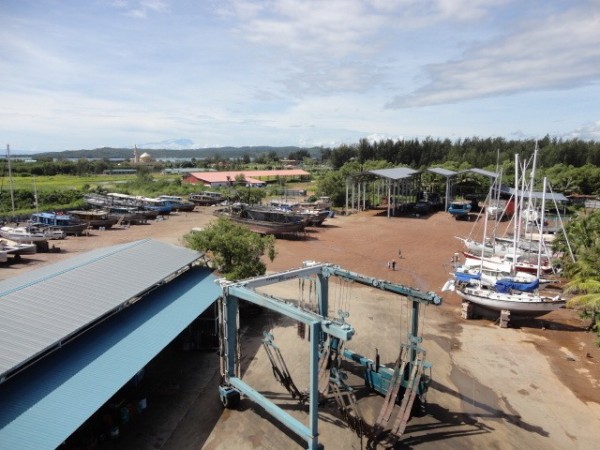 |
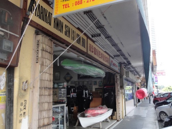
Around Kudat and the Penuwasa Boat Yard
39 Photos
Created 18 November 2013
|
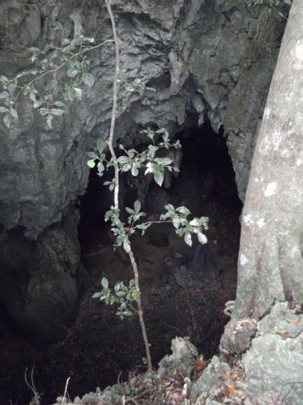 |
Up the hills till an opening shows up in front of you and then see if you can get down into it. Not always.
36 Photos
Created 16 November 2013
|
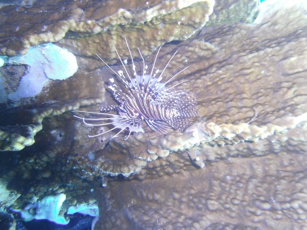 |
Some photos of our diving on the reef.
30 Photos
Created 16 November 2013
|
 |
Our trip around the north end of Borneo
20 Photos
Created 16 November 2013
|
 |
 |
Our trip around Malaysia starting at Tawau.
36 Photos
Created 21 October 2013
|
 |
 |
Our trip from Tawau around the top of Borneo down to Brunei.
6 Photos
Created 9 October 2013
|
 |
 |
 |
Pictures of our dives off Musket Cove Marina
20 Photos
Created 7 December 2011
|
 |
Avea Bay on South Huahine and on to Raiatea Island.
39 Photos
Created 25 July 2011
|
 |
 |
 |
My three days getting not only knowledge and some self confidence but nice and dirty.
8 Photos
Created 26 August 2010
|
 |
Heading South from Escondido.
23 Photos | 2 Sub-Albums
Created 30 April 2010
|
 |
 |
 |
A great place to spend time exploring.
48 Photos
Created 30 April 2010
|
 |
Honeymoon Cove on Isla Danzante
25 Photos | 1 Sub-Album
Created 30 April 2010
|
 |
 |
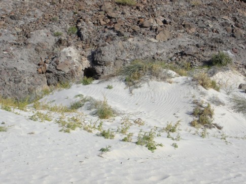
Our continuing adventure as we head North farther up the Sea Of Cortez.
47 Photos
Created 22 January 2010
|
 |
 |
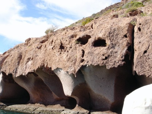
Our visit to the famous "Mushroom Rock" bay.
12 Photos
Created 1 January 2010
|
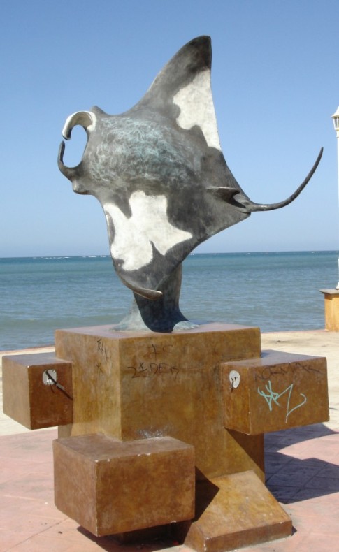 |
Art and statues along the waterfront as you walk through downtown La Paz, Mexico
13 Photos
Created 1 January 2010
|
 |
Still heading South but now in Cabo San Lucas
24 Photos
Created 8 December 2009
|
 |
Making our way South along the coast of Mexico
25 Photos
Created 28 November 2009
|
Bill & Tracy in Tahiti
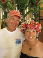
Who: Bill & Tracy Hudson
Port: Denver, Colorado
Gallery