Around the world with S/V Zephyr
The adventures of Bill & Tracy as they fulfill their lifes dream of sailing the world. We've dreamed of this for years and now is the time while the health is still good and there is money in the kitty to make it come true.
05 January 2019 | Aurora
07 December 2018 | Aurora, Colorado
03 December 2018 | Aurora
15 November 2018 | Aurora
06 November 2018 | Aurora
01 November 2018 | Aurora
30 October 2018 | Aurora
16 October 2018 | Aurora
16 October 2018 | Aurora
14 October 2018 | Aurora
12 October 2018 | Aurora, Colorado
24 September 2018 | Aurora, Colorado
11 September 2018 | Aurora, Colorado
03 September 2018 | Aurora, Colorado
30 August 2018 | Aurora, Colorado
23 August 2018 | Aurora, Colorado
21 August 2018 | Aurora, Colorado
17 August 2018 | Aurora, Colorado
16 August 2018 | Aurora, Colorado
15 August 2018 | Aurora, Colorado
Day 3 in Bora Bora
30 July 2011 | Motu Piti Aau, Bora Bora
Sunny, Windy and maybe some rain.
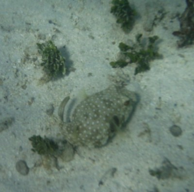
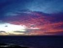
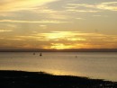
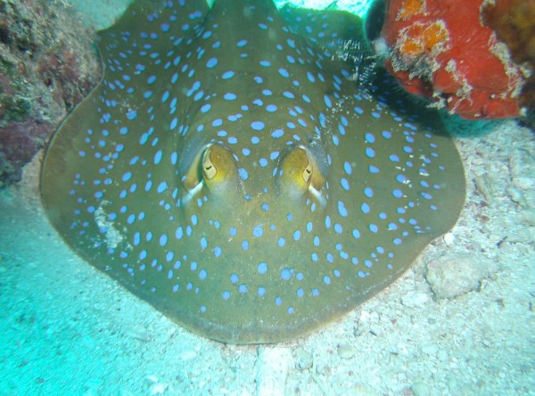
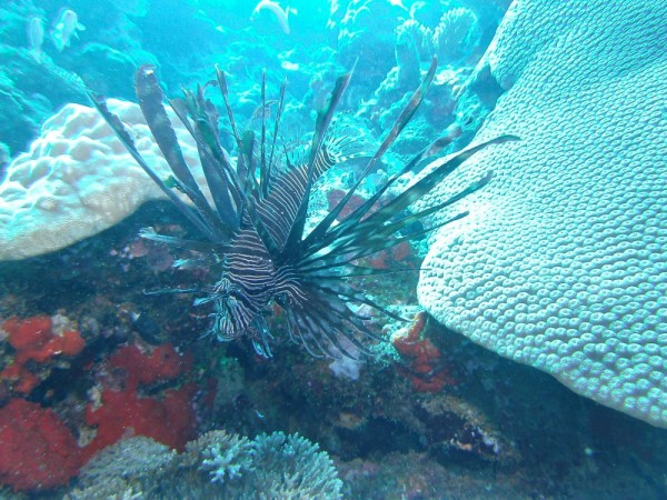
We're now at day three anchored off Motu Piti Aau(16 31.964S 151 42.296W) along the eastern side of Bora Bora still hunkered down in the nice blow that had been forecast. For once, the forecasters got it right. I'm glad we left Raiatea on the 27th because the storm got here early and closed in around Bora Bora and there was no way we would have gotten to where we are with the weather we had on the 28th. We woke to total overcast and a growing wind that continued through the day hitting into the mid 20 knot range. It stirred up the water around us making it almost impossible to see the coral below and be able to tell where it was safe to go and where it was not. It rained off and on all through the day with a few of the more brave souls heading out from the anchorage. All were charter boats that only have so many days to see what they want to see. Several monohulls came in after us and lined up beside us in a straight line heading out west in the bay. Catamarans are anchored farther in the bay in shallower water as they do not need as much water under their keels. We have ten boats in the bay at this time. Only two American boats, one Canadian and the rest are all French. As we talk during the morning net on the VHF radio, there are still lots of boats on the other side of the island either at anchor or attached to the mooring balls that are available. Over the last two days, I dove on the anchor several times to check it out and find it digging in deeper each time I look at it. We don't want it coming loose.
So for our first full day in Bora Bora, we sat in the cockpit with the side panels installed and watched the rain fall. It was so heavy at times that you couldn't see the mountains on the island at all. They were gone in the downpour.
We had noticed during our recent trips that our wind gauge had been acting up. It would give us the direction the wind was coming from but sometimes the speed of the wind would be no where near what it should be for what we were out in. Yesterday, I went up the mast to take a look at the masthead unit to see if I could find any problems. Of course, it was still blowing in the mid teens but with us so close to shore, there was little rocking to make the trip up scary. It wasn't like I was the ball in a tether ball game. I've had that in the past and really didn't like it. I ended up disconnecting the unit and bringing it down to take apart what I could take apart to see if there was a loose wire in it. We cleared the table in the main salon and with screw driver in hand, I took the plug apart. Yep, at least one wire is corroded but all appears to be connected. I tried to scrape off what corrosion I could find, added some silicone sealant to reseal the plug and went back up the mast to reattach it. What I did had no effect so we are stuck with a not knowing how fast the wind is going but at least we know where it is coming from which is more important for a sailor. Having been out for the last three years, we pretty much know how much wind is around us by how the seas act and feel. A nice lunch of ham and cheese on a baguette and we launched Puff with Dragon(our outboard) and headed out for one of the snorkeling sights southwest of here. It was still blowing but being in our swim suits, we really didn't care as we were going to get soaked anyway.
We dropped anchor in about 7 feet of water at a small motu called Piti uu Uta a little over a mile from Zephyr and jumped in. We'd anchored downwind(and down current) of the main coral field so we had to swim into the current to get to the field. It makes getting to the coral harder but the swim back to Puff much easier when you are tired from all the snorkeling. Much of the coral was dead but there were some outcroppings of live coral with lots of fish to see. We were joined late in our snorkeling by some people off a tour boat. I know they paid a pretty penny for their trip. We climbed back into Puff and headed back for Zephyr late in the afternoon. We only hit a few outcroppings of coral as we went. We just got into to shallow water. We watched another bigger boat go through the same area(much faster than us) with no problems so we just copied his route and got right through the coral field. Back at Zephyr, the winds kept right on blowing(as they still are) and we we each took showers and settled in for the rest of the day.
We have discussed our future plans as to where we will be going and "think" that we will head for Suwarrow Atoll and then on the the island of Nuie and on then to Tonga. There is a festival in Tonga starting on September 7 that we would like to attend. Lots of our friends will be there too so it will be a nice get together. Google the Tonga Festival and you can read all about it.
So here we sit for another day, clouds and wind and intermittent clear skies waiting for it to pass so we can return to the western side of the island and get more fuel and water as well as the last supplies we will need for the next part of our voyage.
It amazes us how many young people with kids we have seen out here on boats. I'd guess the average age of cruisers is the early 40's with many quite young yet on big expensive boats. The boats with kids tend to all travel together so they have friends to play with at the anchorages. There is lots of conversations between the boats with kids on the VHF radio when ever they are anchored. While these kids may be young, they are some of the most polite and knowledgable kids we have ever run into. We expected to find far more people our age out here yet we are some of the older ones. More power to them for having the guts to set out on a voyage like this with their kids. Many have been out for several years. One we ran into in Papeete has live aboard all her life and she is now 11!! She has never lived on land.
It's still blowing as the Sun rises so we will see what today brings. Probably more snorkeling in a different spot and maybe we will invite one of the other boats over for drinks this evening. Guess we will see.
Comments
| Vessel Name: | Zephyr |
| Vessel Make/Model: | Shin Fa 458 |
| Hailing Port: | Denver, Colorado |
| Crew: | Bill & Tracy Hudson |
| About: | We've been sailing since the early 80's on lakes in New Mexico and Colorado and finally took the plunge and bought Zephyr. |
| Extra: | |
| Home Page: | http::/www.sailblogs.com/member/svzephyr |
Zephyr's Photos - Main
Photos 1 to 54 of 54 |
1 |
 |
 |
 |
 |
 |
 |
 |
 |
 |
 |
 |
 |
 |
 |
 |
 |
 |
 |
 |
 |
 |
 |
 |
 |
 |
 |
 |
 |
 |
 |
 |
 |
 |
 |
 |
 |
 |
 |
 |
 |
 |
 |
 |
 |
 |
 |
 |
 |
 |
 |
 |
 |
 |
 |
1 |
 |
 |
Around Kudat and the Penuwasa Boat Yard
39 Photos
Created 18 November 2013
|
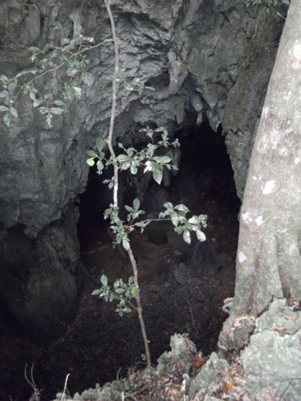 |
Up the hills till an opening shows up in front of you and then see if you can get down into it. Not always.
36 Photos
Created 16 November 2013
|
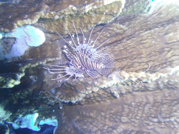 |
Some photos of our diving on the reef.
30 Photos
Created 16 November 2013
|
 |
Our trip around the north end of Borneo
20 Photos
Created 16 November 2013
|
 |
 |
Our trip around Malaysia starting at Tawau.
36 Photos
Created 21 October 2013
|
 |
 |
Our trip from Tawau around the top of Borneo down to Brunei.
6 Photos
Created 9 October 2013
|
 |
 |
 |
Pictures of our dives off Musket Cove Marina
20 Photos
Created 7 December 2011
|
 |
Avea Bay on South Huahine and on to Raiatea Island.
39 Photos
Created 25 July 2011
|
 |
 |
 |
My three days getting not only knowledge and some self confidence but nice and dirty.
8 Photos
Created 26 August 2010
|
 |
Heading South from Escondido.
23 Photos | 2 Sub-Albums
Created 30 April 2010
|
 |
 |
 |
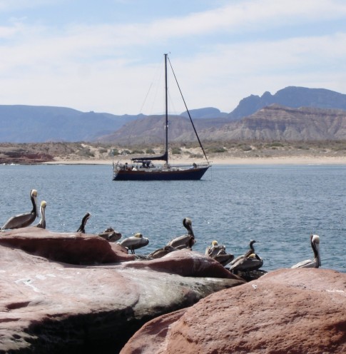
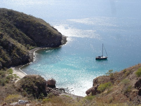
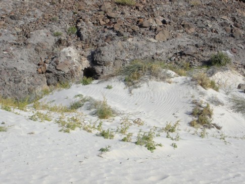
A great place to spend time exploring.
48 Photos
Created 30 April 2010
|
 |
Honeymoon Cove on Isla Danzante
25 Photos | 1 Sub-Album
Created 30 April 2010
|
 |
 |
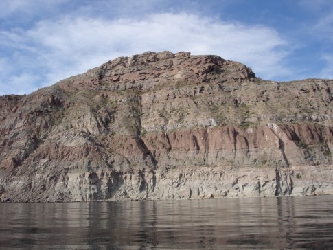
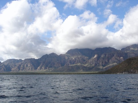
Our continuing adventure as we head North farther up the Sea Of Cortez.
47 Photos
Created 22 January 2010
|
 |
 |
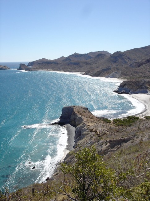
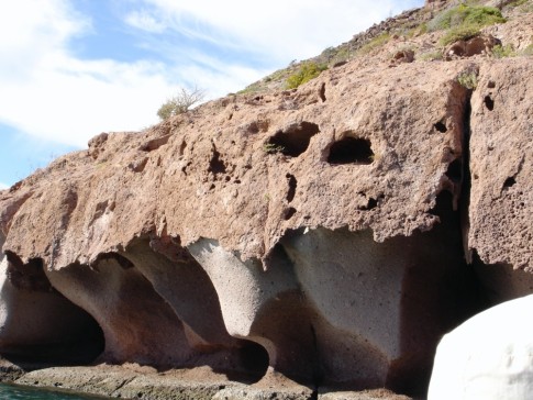
Our visit to the famous "Mushroom Rock" bay.
12 Photos
Created 1 January 2010
|
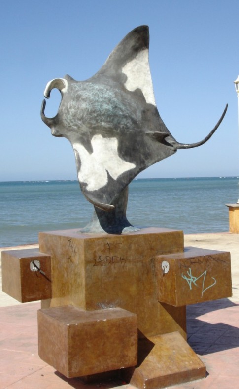 |
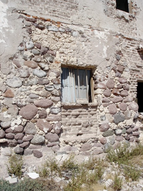
Art and statues along the waterfront as you walk through downtown La Paz, Mexico
13 Photos
Created 1 January 2010
|
 |
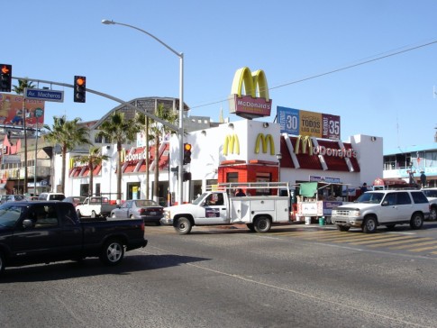
Still heading South but now in Cabo San Lucas
24 Photos
Created 8 December 2009
|
 |
Making our way South along the coast of Mexico
25 Photos
Created 28 November 2009
|
Bill & Tracy in Tahiti
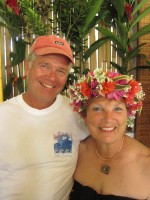
Who: Bill & Tracy Hudson
Port: Denver, Colorado
Gallery