Tokimata's Travels
| Vessel Name: | Tokimata |
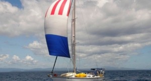
| Vessel Make/Model: | Ganley S130 steel cutter |
| Hailing Port: | Coromandel, New Zealand |
| Crew: | Peter, Rachel, Danny and Tom Garden |
06 September 2023 | Bahia Nonda
Panama Pacific Coast
It’s now well over a month since we left Panama City. La Brisas the free anchorage on the long causeway joining three islands, was free but not the greatest pace to stay, with poor holding and many disintegrating boats, but this amazing backdrop of skyscrapers behind. These free places where yachts [...]
07 August 2023
Panama City
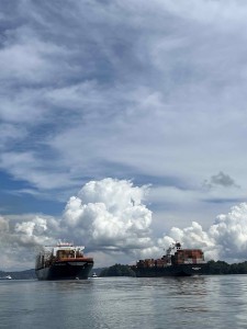
We fuelled up on 20th July 2023 and filled with water, ready for the passage through the Panama Canal. We were to leave around 2 pm next day, staying overnight in Gatun lake with our local line-handlers, and should be through by 3 pm on the following day.
21 July 2023
Rio Chagres and Portabelo on the Caribbean coast of Panama.
We left the San Blas islands on July 10 2023, after a last visit to Ivin, the wonderful chef at Hollandais Cays. He gave a few more image files for his recipe book and we bought his terrific coconut cake one last time. At 11.30 we upped anchor and were off on our way back east, the transit through the [...]
13 July 2023
The islands of San Blas
On Friday 23rd June at last we headed across the busy canal entrance from Shelter Bay marina and into the Caribbean sea. We were sailing to the San Blas islands, Kuna Yala to the inhabitants, hundreds of small islands and coastal villages that are still administered by the indigenous owners of the land. [...]
30 June 2023
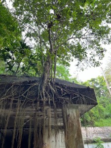
The jungles of Panama
Grinding rust on the hull of Tokimata eventually gave way to grinding rust on the decks, but this was made much easier by hiring energetic boatyard workers. Eventually this progressed to painting, using two part polyurethane over the various anti-rust treatments and primers they had applied. However [...]
07 June 2023
Two weeks in Panama
We arrived in Panama City Tuesday 23rd May from Manchester, with our usual heavy luggage: this time a Starlink system was the bulk of it along with other boat essentials. After travel via Amsterdam we arrived at last to see our taxi-driver holding a “Mr Peter” sign and were off for the hour and a [...]
Approaching Point Barrow
We are motoring directly into a 15 knot breeze heading straight for Pt Barrow where we hope to slip inside the ice from the Chuckchi Sea to the Beaufort Sea. A front is forecast to come through on Friday night or Saturday morning that will push the ice back on shore so we are motoring to get there in time before the route is closed off. If we can get round Pt Barrow itself we can then get into Elson Lagoon just around the corner which is behind some low barrier islands that keep most of the ice out. We can wait a few days in the lagoon for the ice to clear again along the north Alaskan coast so we can proceed east and into the clear water a coupe of hundred miles on. If we don't get around Pt Barrow we will have to retreat back south as the ice is forecast to close in on this part of the coast on Saturday. A stay at Barrow would be welcome as it will give us a chance to visit the small town and meet the local native community. Our visits with the locals (Yupik Eskimo) down near Nunivak Island were fascinating it would be great to meet the local Inupiat.
12 hours ago we passed Icy Cape, named by Captain James in 1778 on his third voyage. He was looking for the Northwest Passage but reached the ice barrier on 18th August 1778 just north of Icy Cape. He then probed the barrier for 10 days right over to the coast of Russia looking for a way through but found it completely impenetrable. His most northerly position was 70 41"N . It is amazing to think he came up here with no charts, no GPS, no ice service, no engine, no radio, no radar and nobody to help him if he got into trouble. We have it easy in comparison.
STOP PRESS: Just as I was about to send this (2:30am) the fog lifted to the west of us and in the distance the ice pack appeared. It is about 5 miles off and through binoculars shows up as a high solid wall of ice with jumbles of larger pieces on top. Scary. We are about 15 miles NW of Pt Franklin so that puts the ice about 20 miles offshore.
