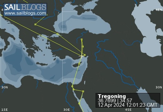
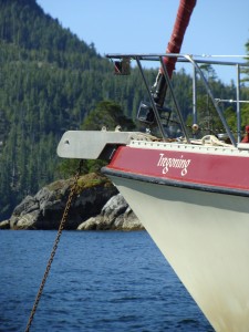
Tregoning
12 April 2024 | We are back aboard Tregoning in Mersin Marina, Mersin, Türkiye
02 April 2024 | We are in Toronto Airport, Canada: Tregoning is in Mersin Marina, Mersin, Türkiye
25 February 2024 | We are back in Gainesville, FL: Tregoning is in Mersin Marina, Mersin, Türkiye
18 February 2024 | We are in Glenwood, New Mexico: Tregoning is in Mersin Marina, Mersin, Türkiye
12 February 2024 | We are in Morro Bay, California: Tregoning is in Mersin Marina, Mersin, Türkiye
19 January 2024 | We are in Vancouver, BC Canada: Tregoning is in Mersin Marina, Mersin, Türkiye
01 January 2024 | We are in Washington State: Tregoning is in Mersin Marina, Mersin, Türkiye
15 December 2023 | We are in Minnesota: Tregoning is in Mersin Marina, Mersin, Türkiye
18 November 2023 | We are in Florida: Tregoning is in Mersin Marina, Mersin, Türkiye
29 October 2023 | We're in Florida - Tregoning is at B-dock, Mersin Marina, Mersin, Türkiye
21 October 2023 | 7 Oda Kapadokya Cave Hotel, Ürgüp, Türkiye
14 October 2023 | Hotel Aşikoğlu, Boğazkale, Türkiye
07 October 2023 | B-dock, Mersin Marina, Mersin, Türkiye
19 September 2023 | “Chez Jon & Angela”, Near Otterton, Devon, UK
14 September 2023 | Airbnb in Fortuneswell on the Isle of Portland, Dorset, UK
11 September 2023 | With Mike, Grange-over-Sands, Cumbria, UK
03 September 2023 | Ardington House, Ardington, Oxfordshire, UK
24 August 2023 | Near "Chez Joan and Peter", College of Roseisle, Moray, Scotland
11 August 2023 | Andrew's house (not exactly), Lichfield, UK
22 July 2023 | Chez Gail, near the New York Café, Budapest, Hungary
Life on “The Hook”
21 January 2014 | Isla San Francisco, Sea of Cortez, Mexico
Photo: Tregoning in the main anchorage of Isla San Francisco seen from the top of "The Hook"
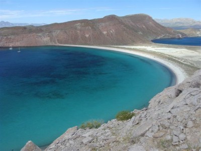
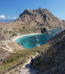
Part of the Mexican National Park System, Isla San Francisco is a small island (about 1.5 nm long and wide) to the south of the much larger Isla San José. The south end of Isla San Francisco is called “The Hook” and this defines a large, semi-circular bay with room for many boats. The bay provides good shelter from all but southwesterly waves and with a sandy bottom that rises gradually towards the beach it is a secure and popular anchorage. Further attractions include rocky shores along the points at the north and south of the bay’s mouth for snorkeling and various hiking trails along the spine of The Hook or across the flat isthmus and around the almost 700-foot high peak (213 m) on the main part of the island.
On Sunday morning (January 19th) we rowed over to SV Falcon VII to bid them farewell as they wanted to take the opportunity of the reduced northerly winds to press on towards Loreto. We then moved into the space that they vacated, having decided that we had been anti-sociably close to the Hunter boat that we had followed into the bay, especially as we had accidentally blocked their view of the sunset over the Sierra de La Giganta. By the standards of many crowded anchorages, we were certainly far enough away from the other boat for safety and privacy but given that there were only five other boats in the big bay, it could be understandable if our proximity had seemed irritating.
That afternoon we snorkeled along the north shore of the anchorage and saw huge numbers of fish including several species that were new to us in México such as: guineafowl puffer fish, graybar gunts, latin grunts, spottail grunts, blue-and-gold snapper, Amarillo snapper, bumphead damselfish, Panama graysby, Pacific creolefish, azure parrotfish, bicolor parrotfish, and Randall saw a large, Panamic green moray swimming towards its hiding place.
Late in the afternoon, a small cruise-boat arrived (Safari Voyager hosting Un-cruise Adventures) and we watched with bemused interest as a fleet of inflatable boats towed piles of kayaks and stand-up paddle-boards to shore before ferrying about 40 guests to the beach. We were soon surrounded by a flotilla of kayaks and SUPs spreading out in all directions with occupants who were clearly enjoying their liberation from the mother vessel. Randall hoped that they might be preparing to barbecue on shore and wondered if this would be a good time to row over and say hello but within a couple of hours the whole circus had packed-up again and as the sun was setting over the Gigantes, Safari Voyager headed off to its next destination.
Like La Paz, Isla San Francisco was a good place to see some spectacular sunsets and sunrises, with a few high clouds and perhaps some dust from Baja adding color and shadows to the otherwise clear skies, so we were happy to stay put for a few nights. This gave us time to explore some of the hiking trails which, unlike at El Mezteño, were very clear and easy to follow. I climbed to the top of both peaks on The Hook while Randall enjoyed exploring the trails between them and over into the flat isthmus where there were several salt-ponds dug in the hard-baked, sandy, mud-flats. The views over the bright blue anchorage and across the isthmus towards Isla San José were particularly spectacular when the sun broke through the thin layer of clouds. Otherwise, the clouds kept the hiking much more comfortable than it would have been in the blazing sun.
On Tuesday we crossed the isthmus to walk on a rocky shoreline that was called Agate Beach. It would have been possible from the northern end of this beach to scramble up a short cliff and then hike all over the northern part of the island. However, once I got high enough to see how far it would be to the northern shore, I decided that it was getting too late in the day and I would save this longer hike for a return visit.
Meeting the crew-members of another boat on the beach, we had to ask them what agates looked like and they explained that they would typically be round, whitish but patterned stones. Our dictionary described them as “any of several varieties of hard, usually streaked chalcedony” the latter term, unhelpfully, not being defined. However, as this beach is so well picked-over by cruisers, it is necessary to either scrape them from rocks higher up the shore or to walk along the beach at very low tide or after a storm to have any chance of finding them. We had neither the patience nor opportunity to search in these manners but perhaps this was just as well because we did not really need any more weight on the boat.
Within a week, we would need to turn south to sail to Mazatlán where we can restock and reorganize for my brother, Mike's, visit. We will look forward to returning to the Sea of Cortez later in the year when we can venture further north and visit other islands and bays because if this small sample of anchorages at the south end of the Sea is typical, we can spend many months finding plenty of interesting places to explore and enjoy.
Comments
| Vessel Name: | Tregoning |
| Vessel Make/Model: | Morgan Classic 41 |
| Hailing Port: | Gainesville, FL |
| Crew: | Alison and Randall |
| About: | We cast-off from Fernandina Beach in north Florida on 1st June 2008 and we have been cruising on Tregoning ever since. Before buying Tregoning, both of us had been sailing on smaller boats for many years and had worked around boats and water throughout our careers. |
| Extra: | “Tregoning” (rhymes with “belonging”) and is a Cornish word (meaning “homestead of Cohnan” or “farm by the ash trees”) and was Alison's mother’s middle name. Cornwall is in southwest England and is where Alison grew-up. |
Tregoning's Photos - Main
 |
 |
 |
 |
 |
 |
 |
 |
 |
 |
 |
The Sailblogs Prequel: Adding old posts from expired blog
166 Photos
Created 26 May 2020
|
 |
 |
 |
 |
 |
 |
 |
 |
 |
 |
 |
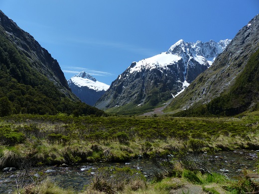 |
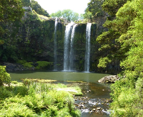
Extra photographs from our three-week campervan tour of the South Island from November 15th to December 5th 2015
217 Photos
Created 4 January 2016
|
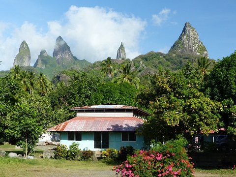 |
Random pictures from our month spent on the islands of Hiva Oa, Tahuata, Ua Pou, and Nuku Hiva
45 Photos
Created 18 July 2015
|
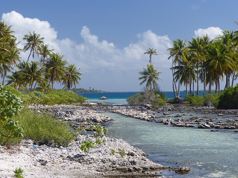 |
Random pictures from our month spent in 4 Tuamotu Atolls; Ahe, Fakarava, Tahanea, and Toau
32 Photos
Created 1 July 2015
|
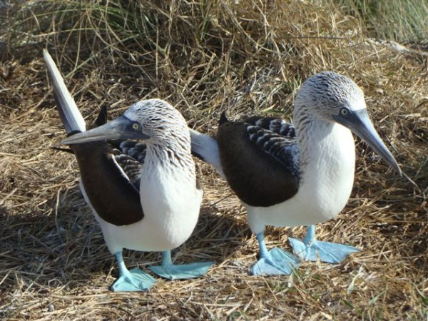 |
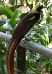
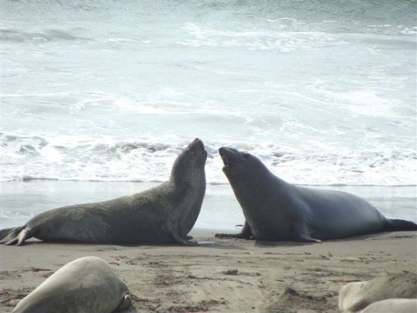
Some of the birds, fish, reptiles, and mammals (and others) that we have seen in Mexico
74 Photos
Created 5 May 2014
|
 |
Tregoning
Who: Alison and Randall
Port: Gainesville, FL
Gallery