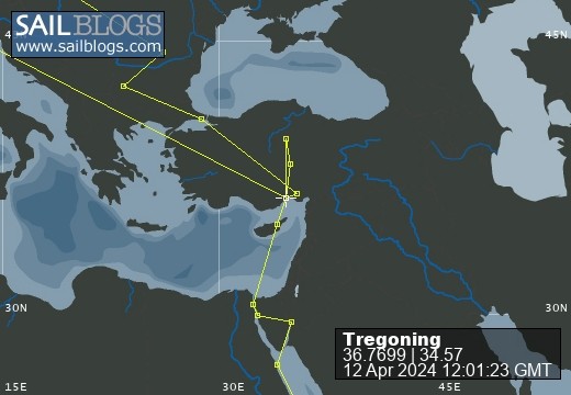
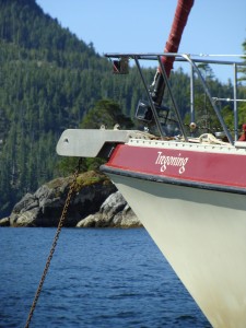
Tregoning
12 April 2024 | We are back aboard Tregoning in Mersin Marina, Mersin, Türkiye
02 April 2024 | We are in Toronto Airport, Canada: Tregoning is in Mersin Marina, Mersin, Türkiye
25 February 2024 | We are back in Gainesville, FL: Tregoning is in Mersin Marina, Mersin, Türkiye
18 February 2024 | We are in Glenwood, New Mexico: Tregoning is in Mersin Marina, Mersin, Türkiye
12 February 2024 | We are in Morro Bay, California: Tregoning is in Mersin Marina, Mersin, Türkiye
19 January 2024 | We are in Vancouver, BC Canada: Tregoning is in Mersin Marina, Mersin, Türkiye
01 January 2024 | We are in Washington State: Tregoning is in Mersin Marina, Mersin, Türkiye
15 December 2023 | We are in Minnesota: Tregoning is in Mersin Marina, Mersin, Türkiye
18 November 2023 | We are in Florida: Tregoning is in Mersin Marina, Mersin, Türkiye
29 October 2023 | We're in Florida - Tregoning is at B-dock, Mersin Marina, Mersin, Türkiye
21 October 2023 | 7 Oda Kapadokya Cave Hotel, Ürgüp, Türkiye
14 October 2023 | Hotel Aşikoğlu, Boğazkale, Türkiye
07 October 2023 | B-dock, Mersin Marina, Mersin, Türkiye
19 September 2023 | “Chez Jon & Angela”, Near Otterton, Devon, UK
14 September 2023 | Airbnb in Fortuneswell on the Isle of Portland, Dorset, UK
11 September 2023 | With Mike, Grange-over-Sands, Cumbria, UK
03 September 2023 | Ardington House, Ardington, Oxfordshire, UK
24 August 2023 | Near "Chez Joan and Peter", College of Roseisle, Moray, Scotland
11 August 2023 | Andrew's house (not exactly), Lichfield, UK
22 July 2023 | Chez Gail, near the New York Café, Budapest, Hungary
A bit of family history
20 November 2015 | The Chalets Holiday Park, Cromwell, South Island, New Zealand
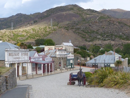
Photo: The collected buildings of Old Cromwell that were rescued when the Clutha River was flooded by Clyde Dam, Central Otago Region, South Island, New Zealand
If the statue of an oversized blue-and-red bird had caught our attention in a place as scenic as Te Anau, it cannot be surprising that we would end-up visiting the huge, fiberglass fruit sculptures in the next town that we visited, Cromwell. After our delightful hike up Key Summit and delicious pies for lunch in Te Anau on Thursday (November 19th), we drove back to Queenstown to fill-up on groceries and fuel. From there we headed east, following the Kawarau River through a valley full of vineyards. Parts of the river were deep and dramatic, and hence were sites used for “Pillars of the Kings” and “River Anduin” in The Lord of the Rings movies. For the more adventurous, several bungee-jumping sites, including the 134 m (440 feet) “Nevis Highwire Bungy” were also scattered along the valley.
Sited where the Kawarau River joins the Clutha River, the small rural town of Cromwell (population 4,150) has become the center of the Otago wine region which is well-known for its excellent pinot noirs. The area had particular interest for Andrew and me because our grand-parents had moved there to establish a fruit-farm in the early 1920s. Although our father was actually born back in Great Britain, he lived in Cromwell from the ages of 6 to 18 months, at which time his parents divorced and he returned to Britain with his mother.
The farm was described as being on the floor-plain of an ancient lake 40 feet (12 m) above the existing river, and the Clutha Valley north of Cromwell certainly has several flat levels which could fit that description. However, the issue is confused by the completion of the Clyde Dam for hydropower generation in 1992, which flooded the original Cromwell village, 280 homes, 6 farms, and 17 orchards. Located south and downstream from Cromwell, the 100 m (330 feet) tall dam created Lake Dunstan and probably raised water levels around Cromwell to almost 40 feet above the original river level (at least, comparing old and new photos of the area gives this impression). Thus, if our grandparents’ orchard was not flooded by the dam, it was probably on land that is now at lake-level, and mostly likely under urban-development in the current town.
Thus, there was no specific place that we could visit with direct connections to our family but it was possible to get a sense of what the area must have been like. We did briefly visit two of the older churches in the area since these might have been places that our grandparents would have known or attended; the Anglican (Episcopal) Church from 1874 and the Catholic Church which was opened in 1909.
Prior to closing the dam, several buildings of the historic precinct of the old town were relocated to the new lake-shore level and the land under the old town was mined for gold. While some of the saved buildings have been set-up as period pieces (e.g., the stables), others now house galleries or cafes in a very attractive pedestrian area. We enjoyed taking a quick look around this historic area in sunshine late on Thursday afternoon when the place was deserted. Although the next morning was overcast and showery, I am pleased to report that this did not deter us, on our way out of town, from taking the necessary photographs of each other next to Cromwell’s oversized peach, pear, apple, and apricot.
Comments
| Vessel Name: | Tregoning |
| Vessel Make/Model: | Morgan Classic 41 |
| Hailing Port: | Gainesville, FL |
| Crew: | Alison and Randall |
| About: | We cast-off from Fernandina Beach in north Florida on 1st June 2008 and we have been cruising on Tregoning ever since. Before buying Tregoning, both of us had been sailing on smaller boats for many years and had worked around boats and water throughout our careers. |
| Extra: | “Tregoning” (rhymes with “belonging”) and is a Cornish word (meaning “homestead of Cohnan” or “farm by the ash trees”) and was Alison's mother’s middle name. Cornwall is in southwest England and is where Alison grew-up. |
Tregoning's Photos - Main
 |
 |
 |
 |
 |
 |
 |
 |
 |
 |
 |
The Sailblogs Prequel: Adding old posts from expired blog
166 Photos
Created 26 May 2020
|
 |
 |
 |
 |
 |
 |
 |
 |
 |
 |
 |
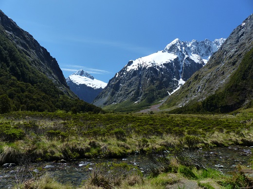 |
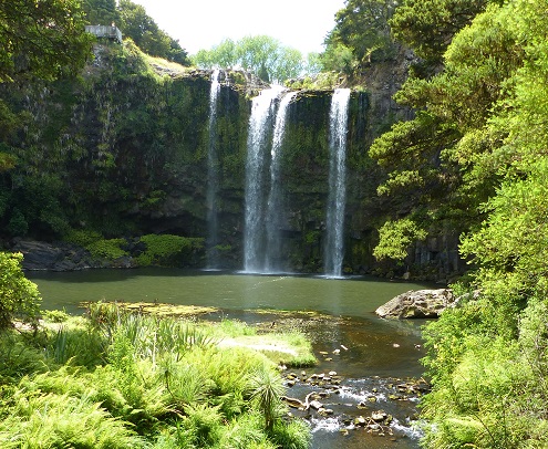
Extra photographs from our three-week campervan tour of the South Island from November 15th to December 5th 2015
217 Photos
Created 4 January 2016
|
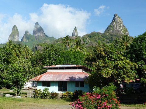 |
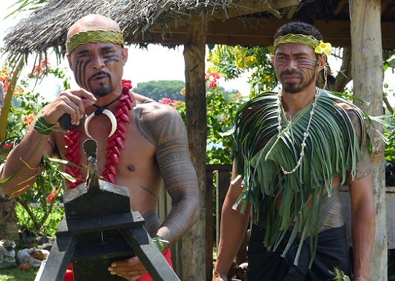
Random pictures from our month spent on the islands of Hiva Oa, Tahuata, Ua Pou, and Nuku Hiva
45 Photos
Created 18 July 2015
|
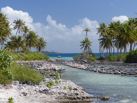 |
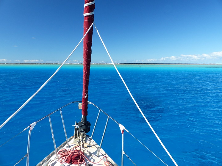
Random pictures from our month spent in 4 Tuamotu Atolls; Ahe, Fakarava, Tahanea, and Toau
32 Photos
Created 1 July 2015
|
 |
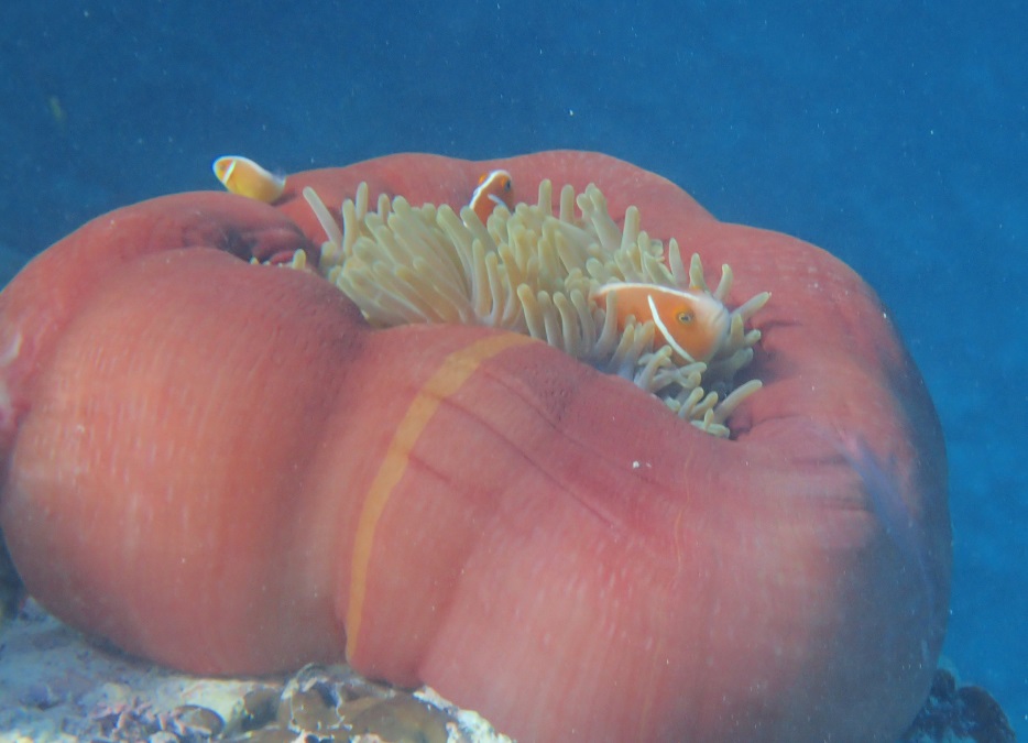
Some of the birds, fish, reptiles, and mammals (and others) that we have seen in Mexico
74 Photos
Created 5 May 2014
|
 |
Tregoning
Who: Alison and Randall
Port: Gainesville, FL
Gallery