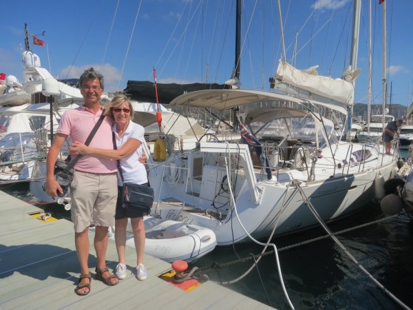
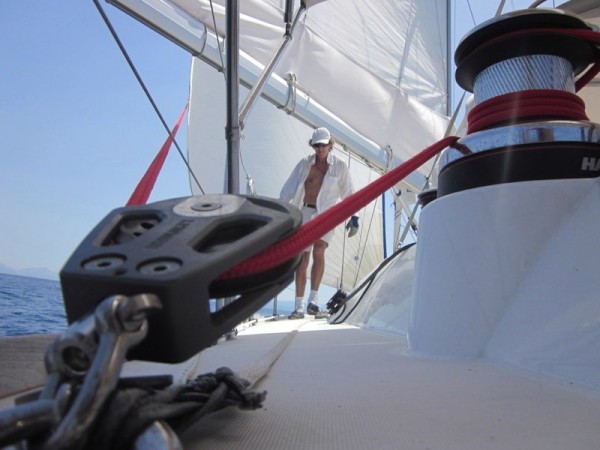
Trilogy: a sailing saga
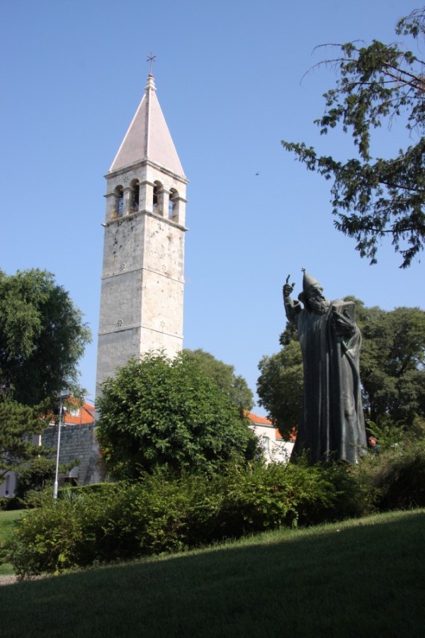
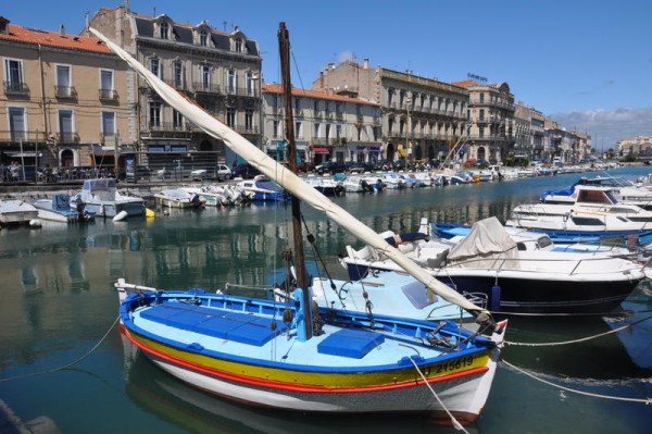
17 April 2024 | Split Croatia
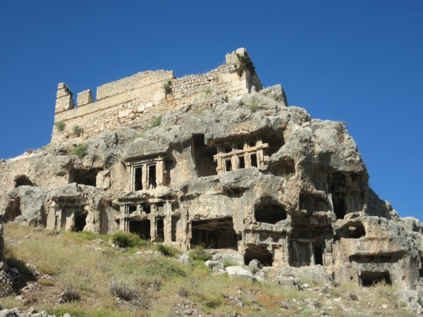
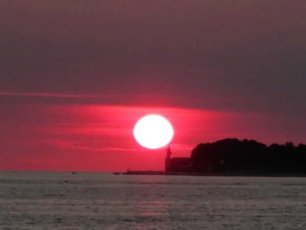
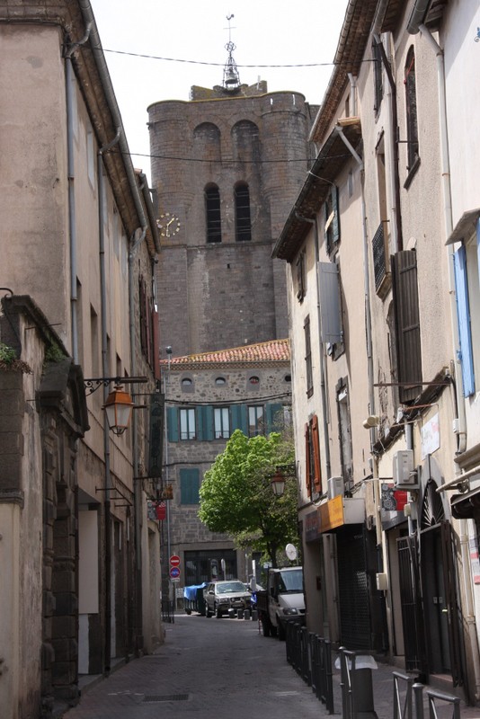
15 April 2024 | Tucepi
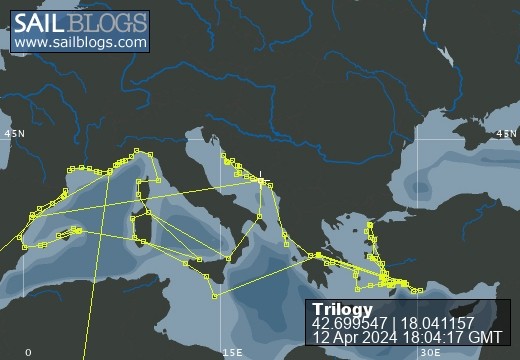
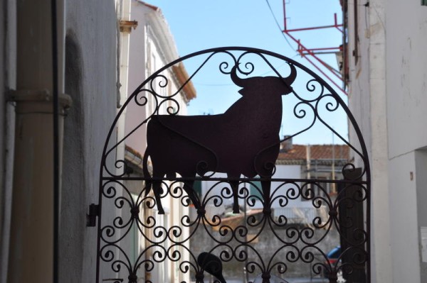
12 April 2024 | U Bataia
08 September 2023
04 September 2023
26 August 2023
20 August 2023
17 August 2023
15 August 2023
12 August 2023
09 August 2023
08 August 2023
06 August 2023
13 June 2023 | Amalfi
13 June 2023 | Amalfi
Hurricane Season
03 June 2016 | St Barths
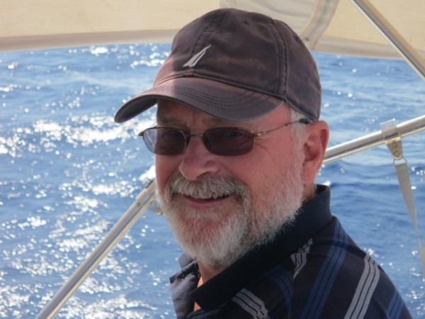
Ros Brice

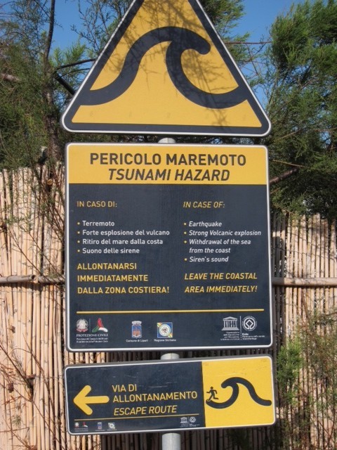
'Cyclone' is the usual term for hurricane in the French Caribbean Islands and comes from the circular movement of the phenomenon (from the Greek kuklos: circle). The technical English term for the phenomenon is Tropical Revolving Storm, more commonly 'hurricane', although strictly the term only applies to cyclones above a certain strength.
Wind strength determines the three-stage classification of cyclones. 1.Tropical depression: less than 34kn; 2. Tropical storm: 34-63kn 3. Hurricane: over 63kn.
Tropical storms and hurricanes have names that which begin each year with the letter A and alternate between male and female names. It is important to remember that while all hurricanes have their origins in tropical depressions, not all tropical depressions develop into hurricanes.
Cyclone season is when sea temperatures reach their maximum at the end of summer (28-30 degrees C) and lead to the greatest occurrence of cyclones in August and September. However, the danger period starts at the beginning of summer and lasts until October, and more exceptionally November.
The speed of advance of hurricanes is between 8-20kn, an increase in strength often corresponding with a decrease in speed. The diameter of a cyclonic disturbance is from 600-800 NM, with the eye (centre of the cyclone and short lived area of light winds) about 10nm wide.
As far as frequency of occurrence, the most serious hurricanes have been recorded since the 17th century. The existing evidence suggests that there is an increase rather than a decrease in the incidence of cyclones and hurricanes as a result of global warming.
The extreme wind strength and it's changing direction when the eye has moved through, can cause phenomenal seas, which are confused and very dangerous. The lowering of atmospheric pressure is proportional to the proximity of the eye of the cyclone and it can fall to less than 940 Hpa at the centre. One result of this is a rise in sea level, which is added to swell effects. This is one of the most dangerous phenomena because it makes protection offered by any anchorage surrounded by low sea walls or low ground, very vulnerable.
Today, there are sophisticated weather forecasting devices, including reconnaissance planes and satellite observation, which assist in the tracking and formulation of advanced warnings. All warnings presume a window of 2 days during which the phenomenon develops and tracks, these limits are nonetheless subject to error. It is still not an exact science!
There are a number of hurricane holes throughout the Caribbean islands, which are for vessels that need to respond to a storm warning urgently. These are often located in creeks with surrounding mangroves to which the yacht can be lashed. A far better approach is to plan to lift the yacht out of the water and have it secured in specially constructed hurricane cradles. Another system is to dig holes for the keel to drop into, so that the hull is resting on the ground allowing firm securing with a low profile.
Hurricanes of more recent times in the Caribbean that have had dire consequences are:
David: 1979 - one of the most powerful and long lasting (category 5). At its strongest, the cloud mass extended over an area more than 800 nautical miles in diameter. Maximum sustained wind was 140kn.
Hugo: 1989 - extremely violent and devastating (category 5). The depression formed off Africa and hit the Leeward Is and then the Virgin Is. Central pressure 942 Hpa. Maximum sustained wind 120-140 kn.
Luis: 1995 - very concentrated. Devastated the Leeward islands (category 4). Central pressure 948 Hpa. Maximum sustained wind 120-130 kn.
Lenny: 1999 - late in the season with an erratic track (category 4). Hit the Virgin Islands then the northern islands. Maximum sustained wind 130 kn.
Ivan: 2004 - very violent winds (category 3-5). Central pressure 921 Hpa. Maximum sustained wind 120-140 kn.
Sadly not all shipping make it safely to a safe haven. There are too many wrecks in the Caribbean islands, some submerged and some left perched precariously on rocks or sand. It has been very sobering as we have cruised these beautiful islands to ponder on the impact of devastating changes in the weather.
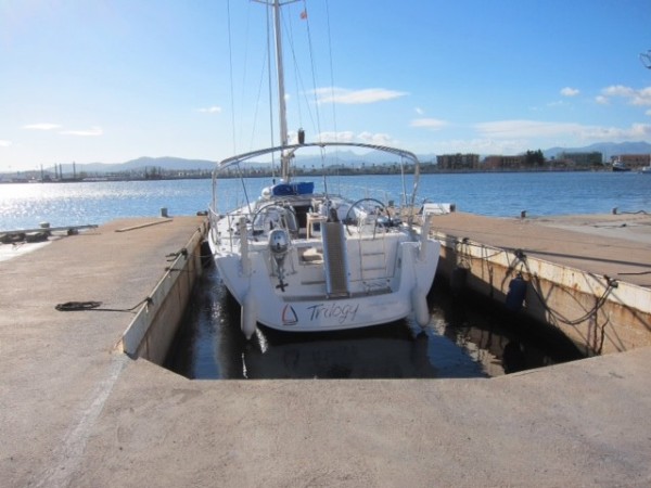
Trilogy is now sailing south to Antigua, where she will be hauled from the water and placed in a hurricane cradle for the season. We are tracking the hurricane watch websites and already there have been two tropical storms identified, one in the Gulf of Mexico and one in the Bahamas, and it is very early in the season!
Wind strength determines the three-stage classification of cyclones. 1.Tropical depression: less than 34kn; 2. Tropical storm: 34-63kn 3. Hurricane: over 63kn.
Tropical storms and hurricanes have names that which begin each year with the letter A and alternate between male and female names. It is important to remember that while all hurricanes have their origins in tropical depressions, not all tropical depressions develop into hurricanes.
Cyclone season is when sea temperatures reach their maximum at the end of summer (28-30 degrees C) and lead to the greatest occurrence of cyclones in August and September. However, the danger period starts at the beginning of summer and lasts until October, and more exceptionally November.
The speed of advance of hurricanes is between 8-20kn, an increase in strength often corresponding with a decrease in speed. The diameter of a cyclonic disturbance is from 600-800 NM, with the eye (centre of the cyclone and short lived area of light winds) about 10nm wide.
As far as frequency of occurrence, the most serious hurricanes have been recorded since the 17th century. The existing evidence suggests that there is an increase rather than a decrease in the incidence of cyclones and hurricanes as a result of global warming.
The extreme wind strength and it's changing direction when the eye has moved through, can cause phenomenal seas, which are confused and very dangerous. The lowering of atmospheric pressure is proportional to the proximity of the eye of the cyclone and it can fall to less than 940 Hpa at the centre. One result of this is a rise in sea level, which is added to swell effects. This is one of the most dangerous phenomena because it makes protection offered by any anchorage surrounded by low sea walls or low ground, very vulnerable.
Today, there are sophisticated weather forecasting devices, including reconnaissance planes and satellite observation, which assist in the tracking and formulation of advanced warnings. All warnings presume a window of 2 days during which the phenomenon develops and tracks, these limits are nonetheless subject to error. It is still not an exact science!
There are a number of hurricane holes throughout the Caribbean islands, which are for vessels that need to respond to a storm warning urgently. These are often located in creeks with surrounding mangroves to which the yacht can be lashed. A far better approach is to plan to lift the yacht out of the water and have it secured in specially constructed hurricane cradles. Another system is to dig holes for the keel to drop into, so that the hull is resting on the ground allowing firm securing with a low profile.
Hurricanes of more recent times in the Caribbean that have had dire consequences are:
David: 1979 - one of the most powerful and long lasting (category 5). At its strongest, the cloud mass extended over an area more than 800 nautical miles in diameter. Maximum sustained wind was 140kn.
Hugo: 1989 - extremely violent and devastating (category 5). The depression formed off Africa and hit the Leeward Is and then the Virgin Is. Central pressure 942 Hpa. Maximum sustained wind 120-140 kn.
Luis: 1995 - very concentrated. Devastated the Leeward islands (category 4). Central pressure 948 Hpa. Maximum sustained wind 120-130 kn.
Lenny: 1999 - late in the season with an erratic track (category 4). Hit the Virgin Islands then the northern islands. Maximum sustained wind 130 kn.
Ivan: 2004 - very violent winds (category 3-5). Central pressure 921 Hpa. Maximum sustained wind 120-140 kn.
Sadly not all shipping make it safely to a safe haven. There are too many wrecks in the Caribbean islands, some submerged and some left perched precariously on rocks or sand. It has been very sobering as we have cruised these beautiful islands to ponder on the impact of devastating changes in the weather.
Trilogy is now sailing south to Antigua, where she will be hauled from the water and placed in a hurricane cradle for the season. We are tracking the hurricane watch websites and already there have been two tropical storms identified, one in the Gulf of Mexico and one in the Bahamas, and it is very early in the season!
| Vessel Name: | Trilogy |
| Vessel Make/Model: | Beneteau Oceanis 54 |
| Hailing Port: | Sydney, Australia |
| Crew: | Owners: Garth & Rosalind Brice; Steven & Irene Ring; Peter & Susan Lucey; Paul & Sue Jones: Previous partners: John & Myra Rowling; Rick Scott-Murphy & Susan Alexander |
| About: | The crew all live in Canberra, Australia and have raced and cruised together in the Canberra Ocean Racing Club. |
| Extra: | Trilogy cruised through the Mediterranean for four seasons before crossing the Atlantic with the ARC to the Caribbean. Following three seasons in the Caribbean we sailed back across the Atlantic in 2018 and are now continuing to cruise in the Med. |
Trilogy's Photos - Main
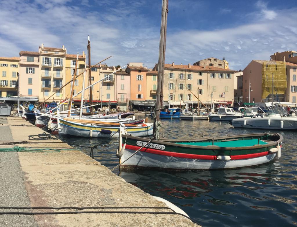 |
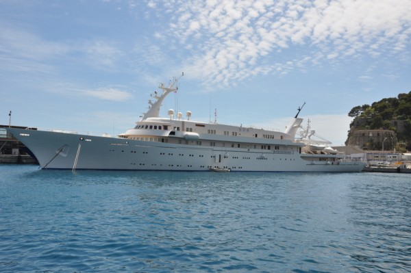
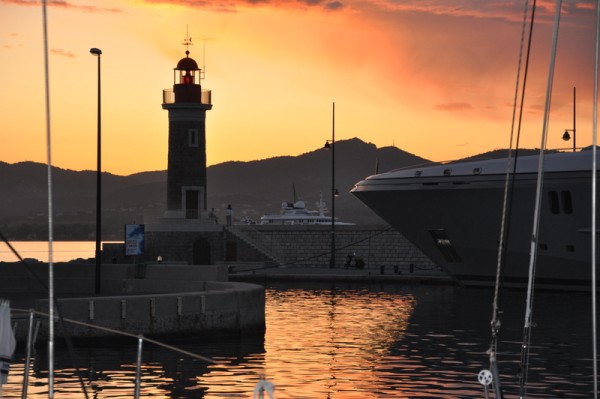
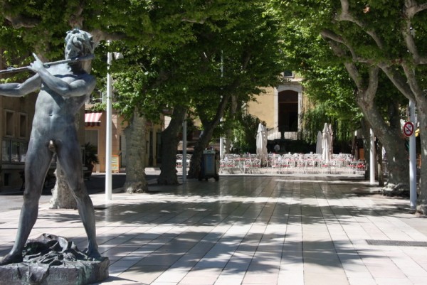
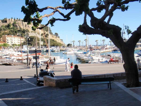
With Trilogy securely berthed in Cavalaier Sur Mer the crew took the 30 minute bus trip north to St Tropez and rubbed shoulders with the rich and famous.
4 Photos
Created 13 May 2019
|
 |
 |
 |
 |
 |
 |
 |
 |
 |
 |
 |
 |
 |
 |
 |
 |
 |
 |
 |
 |
 |
 |
 |
 |
 |
 |
 |
 |
 |
 |
 |
 |
 |
 |
 |
 |
 |
 |
 |
 |
 |
 |
 |
 |
 |
 |
 |
 |
 |
 |
 |
 |
 |
 |
 |
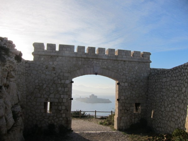
Covers Garth and Ros' sweep along the Croatian Dalmation coast and through the Croatian islands in June/July 2013
70 Photos
Created 29 June 2013
|
 |
 |
 |
 |
 |
 |
 |
 |
 |
 |
 |
 |
 |
 |
 |
 |
 |
 |
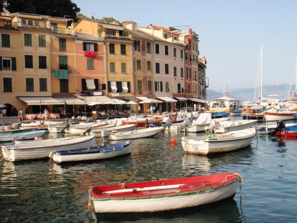 |
Cruising along the Italian Riviera
29 Photos
Created 14 July 2012
|
 |
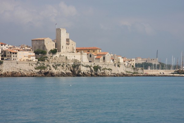
A quick view of the port of Monaco and a wander around Menton:last port for Trilogy before entering Italy
34 Photos
Created 12 June 2012
|
 |
 |
 |
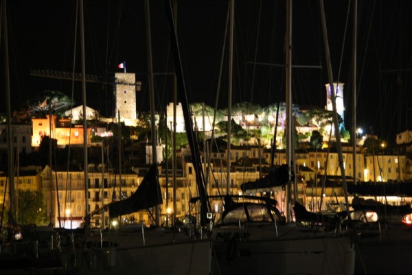
Rick, John and Susan's photos around St-Tropez
31 Photos
Created 25 May 2012
|
 |
Port Bandol in the the Cote d Azur and the medieval village nearby of Le Castelet
42 Photos
Created 13 May 2012
|
 |
 |
 |
Walk around the pilgrims town
10 Photos
Created 6 May 2012
|
 |
 |
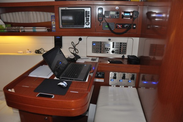 |
Shots of Trilogy's interior for our friends who wanted to see what she looked like below decks
8 Photos
Created 24 April 2012
|
SVTrilogy

Who: Owners: Garth & Rosalind Brice; Steven & Irene Ring; Peter & Susan Lucey; Paul & Sue Jones: Previous partners: John & Myra Rowling; Rick Scott-Murphy & Susan Alexander
Port: Sydney, Australia