
Vanish - Making The Switch From Sail to Power
29 October 2016 | Georgia, USA
29 October 2016 | Georgia, USA
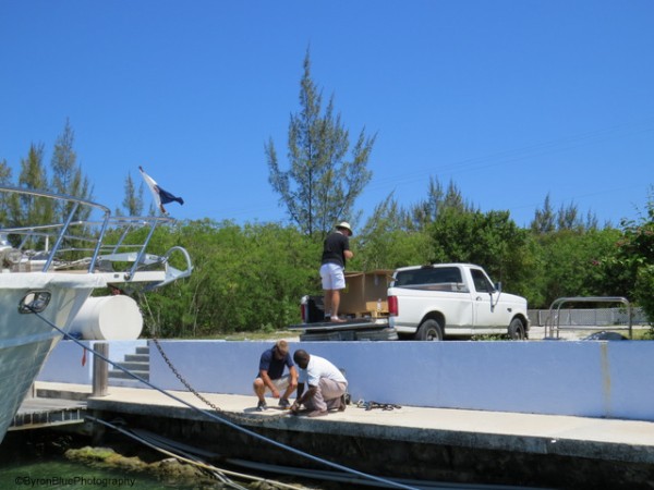
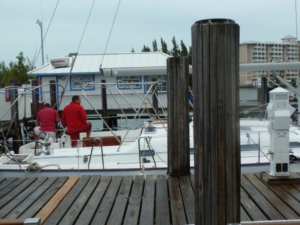
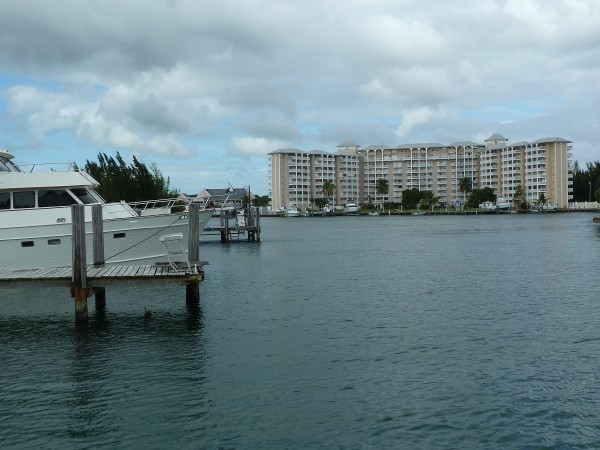
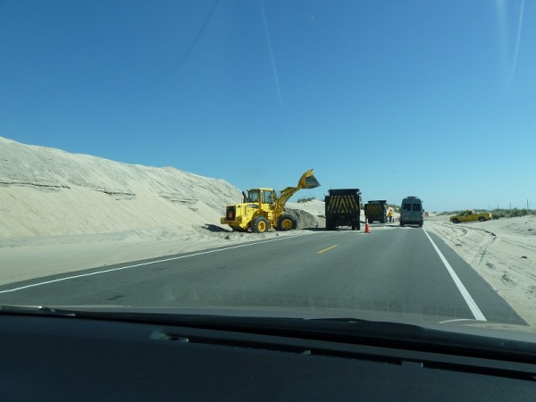
08 October 2016 | Brunswick, Georgia, USA
07 October 2016 | Hotel on West Side of Hwy I-95, Brunswick, GA, USA
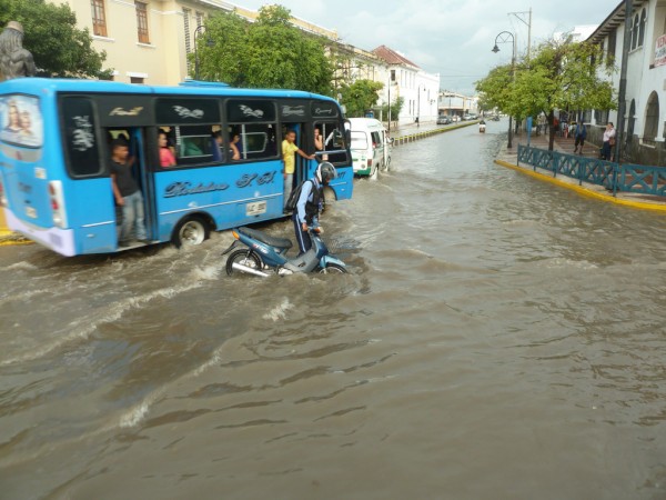
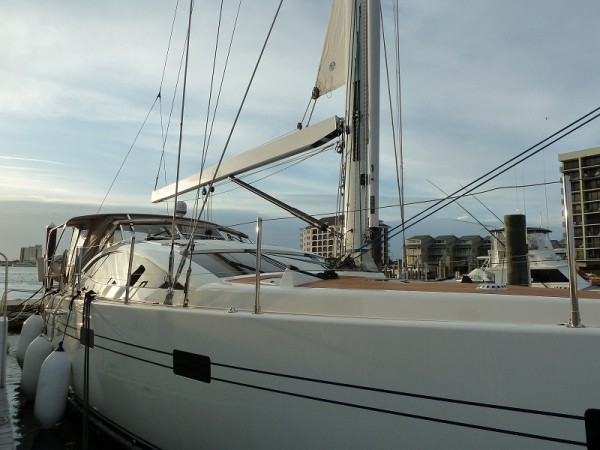
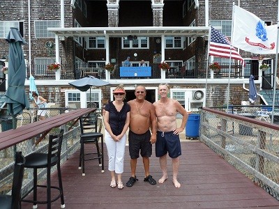
07 October 2016 | Brunswick, Georgia, USA
06 October 2016 | Brunswick, Georgia, USA
05 October 2016 | Brunswick, Georgia, USA
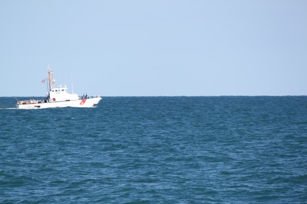
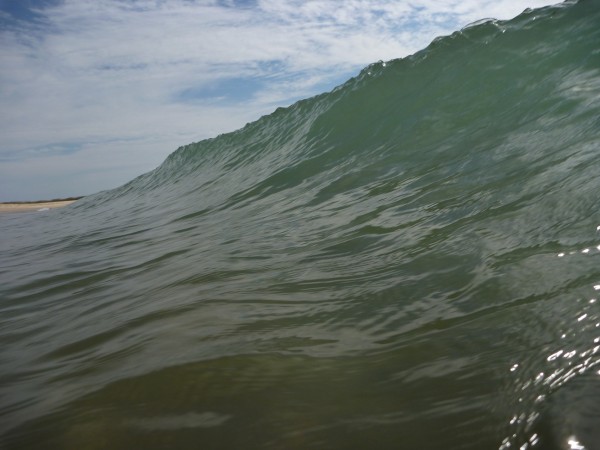
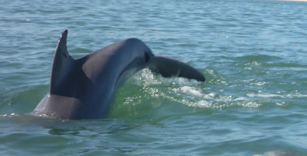
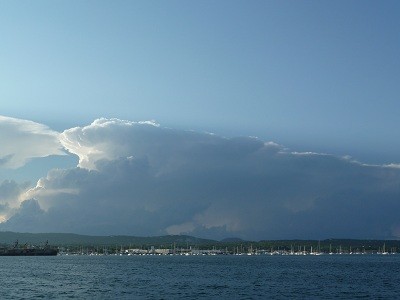
04 October 2016 | Photo off Outer Banks near Cape Lookout, North Carolina.
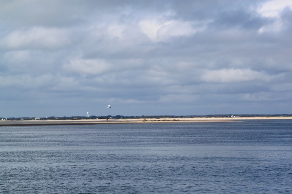
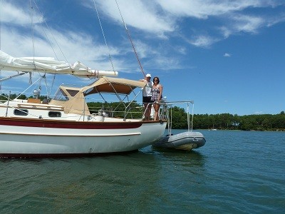
27 September 2016 | Piankatank River, Chesapeake Bay, Virginia, USA
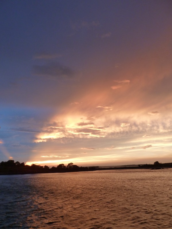
22 September 2016 | Current Position - Sassafras River, Chesapeake Bay, Maryland, USA
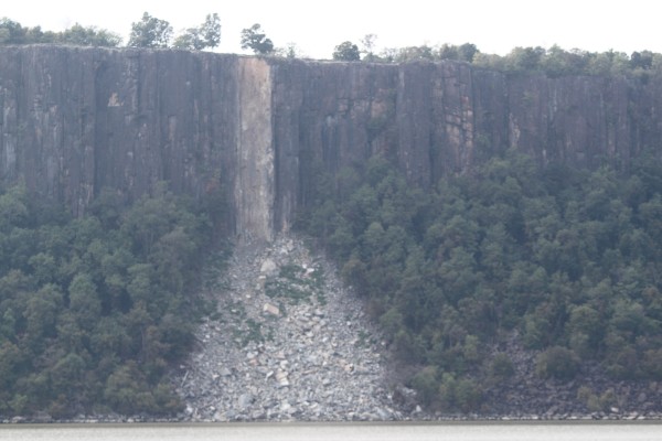
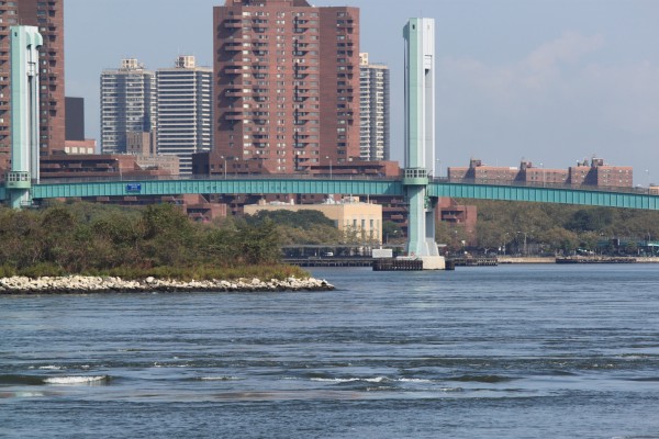
16 September 2016 | Orient, Long Island, New York, USA
11 September 2016 | Ebenecook Harbor near Boothbay Harbor, Maine, USA
07 September 2016 | Penobscot Bay, Maine, USA
05 September 2016 | Penobscot Bay, Maine, USA
04 September 2016 | North Haven, Vinalhaven, Maine, USA
28 August 2016 | Castine, Maine, USA
27 August 2016 | Belfast, Maine, USA
12 August 2016 | Mount Washington, New Hampshire, USA
06 August 2016 | Canada/USA Border Crossing
04 August 2016 | La Malbaie, Quebec, Canada
What Next?
19 March 2013 | Elizabeth Harbour, George Town, Exumas, The Bahamas
Vicki – 25C/77F, Wind S 15kn, Cloud 5/8, 4Cast Next Few Days W, NW,N & NE 10 kn

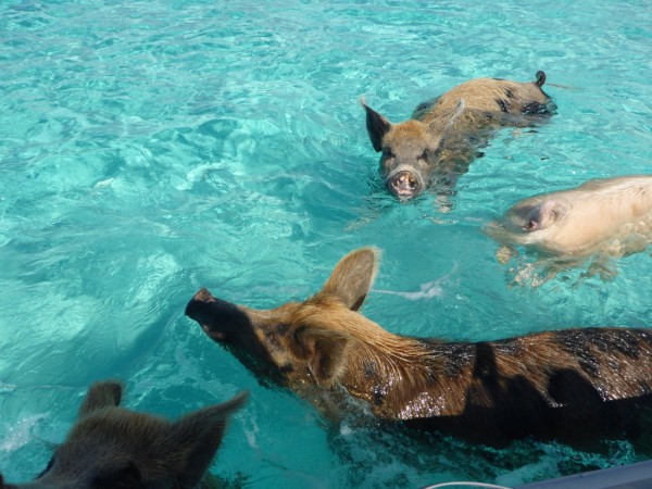
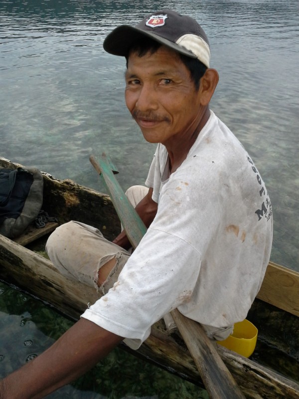
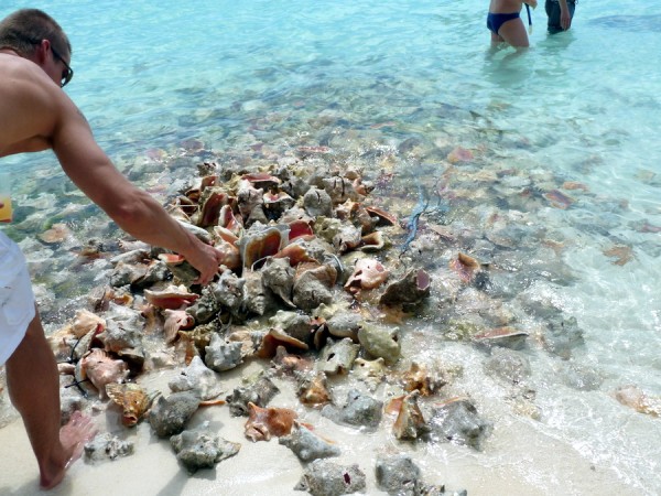
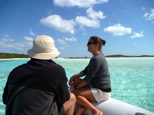
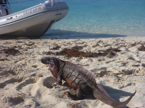
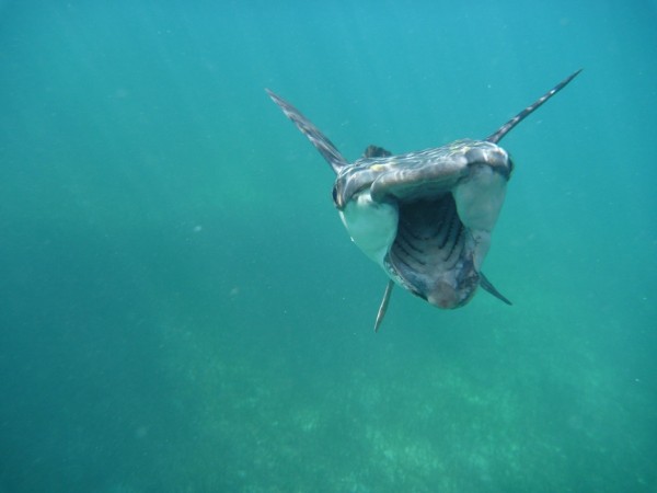
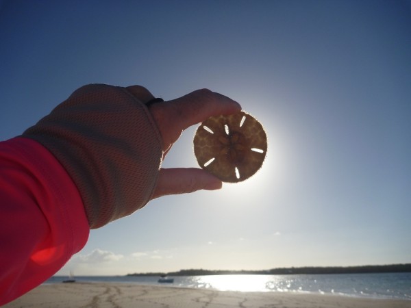
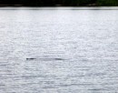
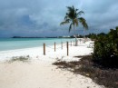
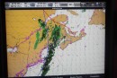
The town of George Town serves 1000 people and is one of the last (semi) decent provisioning stops in the Southern Bahamas. As it is a turning point for a lot of U.S. and Canadian visiting yachties, it is also known as Chicken Town. Have I mentioned there are virtually no navigational marks in the Bahamas? Coming into Elizabeth Harbour is like coming into Moreton Bay in Brisbane on visual on a cloudy day following a straight purple dashed line on the Navionics chart which worryingly went across depths of 1.5m (5 ft). We draw 6 ft. We quickly anchored before hitting anything, dropped the dinghy in the water and sent Jake ahead to check depths, then followed him into the anchorage, a prudent thing to do for us as we do not want to run aground. We anchored at the back of the pack of around 250 yachts which have been diminishing each day since as they are already heading north on a daily basis to avoid hurricane season. We've visited the local hotspot, the Chat 'n Chill, a beach restaurant where Conch Salad was being made as you can see in the above photo. Large stingrays were swimming lazily around waiting to be hand fed at the nearby beach. So far we've seen hand fed pigs, sharks and now stingrays.
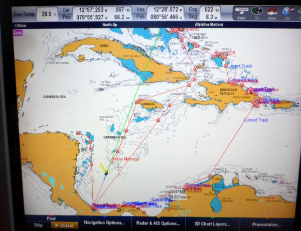
OK. The question on everyone's mind is What's Next??? Are we chickens or are we roosters? Well, it looks like a weather window might be coming up with seas of 1 to 2 ft which can take us 240 miles to another country called Turks and Caicos. These places are so well known to U.S. and Canadian citizens, but to us, they never come up in Aussie conversation so we've had to do a great deal of research to sort out a Plan. Basically, we need to be out of the hurricane zone by the end of May so we need to be south of Latitude 10 deg S. We can now announce......da da da daaahhhhhh.......we are headed for either Colombia or Panama via Jamaica. April and May are the best cruising months of the year in the Caribbean so we want to make the most of it. We chose Jamaica over the more traditional Windward Island route as it is less travelled. Also as we are coffee growers and rum connoisseurs, Jamaica is renowned for both products. Pretty good excuse eh?
Comments
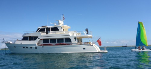
| Vessel Name: | Vanish |
| Vessel Make/Model: | Marlow Voyager 76LR |
| Hailing Port: | Brisbane, Queensland, Australia |
| Crew: | Maynard and Vicki |
| Home Page: | sailblogs.com/member/vanish |
Vanish's Photos - Main
 |
|
Post Hurricane Matthew, Brunswick, GA, USA
15 Photos
Created 8 October 2016
|
|
|
|
|
|
|
|
|
|
|
|
|
|
|
|
Saguaney to La Malbaie, Quebec, Canada
28 Photos
Created 20 August 2016
|
|
|
|
|
|
|
|
|
|
|
|
|
Narragansett Bay, Rhode Island, USA
9 Photos
Created 11 June 2016
|
|
Noyack Bay, nr Sag Harbor, Long Island, New York
7 Photos
Created 11 June 2016
|
|
 |
|
|
|
|
|
|
Eatons Neck, Long Island, New York, USA
2 Photos
Created 16 September 2015
|
|
Massachusetts and Long Island, New York, USA
9 Photos
Created 16 September 2015
|
|
|
|
|
|
|
|
|
|
Norfolk, Virginia to Mattapoisett, Massachussets, USA
16 Photos
Created 17 June 2015
|
|
ICW Beaufort, North Carolina, to Norfolk, Virginia, USA
16 Photos
Created 12 June 2015
|
|
|
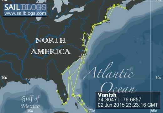
2015 Brunswick, Georgia to Beaufort, North Carolina
12 Photos
Created 4 June 2015
|
 |
 |
 |
 |
 |
 |
 |
 |
 |
 |
 |
 |
 |
 |
 |
 |
 |
 |
 |
 |
 |
 |
 |
 |
 |
 |
 |
 |
 |
 |
Exploring the Interior of the Dominican Republic
26 Photos
Created 24 April 2013
|
 |
Samana Bay to La Romana, Dominican Republic
12 Photos
Created 19 April 2013
|
 |
 |
Samana Bay, Dominican Republic
10 Photos
Created 10 April 2013
|
 |
Dominican Republic
12 Photos
Created 5 April 2013
|
 |
 |
 |
 |
 |
 |
 |
 |
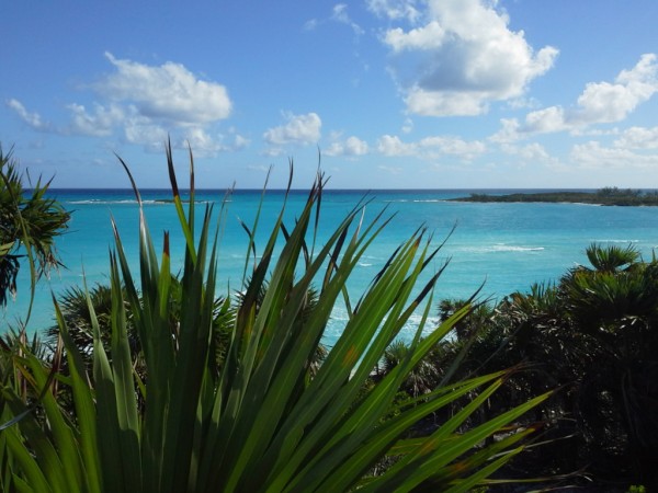
Eleuthera, The Bahamas
12 Photos
Created 25 February 2013
|
 |
 |
 |
 |
 |
 |
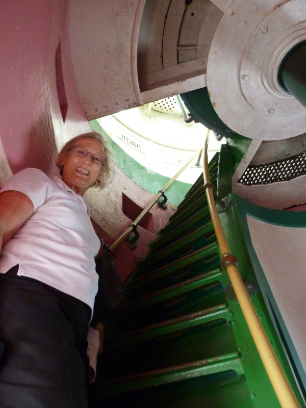 |
Elbow Reef Lighthouse, Hope Town, Abaco, The Bahamas
35 Photos
Created 29 November 2012
|
 |
 |
 |
 |
 |
Hurricane Sandy in the Bahamas
9 Photos
Created 24 October 2012
|
 |
 |
 |
 |
 |
 |
Barden Inlet, Nr Beaufort, North Carolina, USA
4 Photos
Created 4 October 2012
|
 |
Cape Lookout Area near Beaufort, North Carolina, USA
5 Photos
Created 2 October 2012
|
 |
 |
New York State of Mind, USA
13 Photos
Created 27 September 2012
|
 |
 |
 |
 |
 |
 |
 |
 |
 |
 |
Rockland, Maine to Trafton Island, Maine, USA
14 Photos
Created 3 September 2012
|
 |
 |
Orcutt Harbor and Horseshoe Cove areas, Maine, USA
2 Photos
Created 26 August 2012
|
 |
 |
 |
 |
 |
 |
 |
 |
 |
Somes Sound, Mt Desert Island to Bar Harbor, Mt Desert Island in Maine, USA
16 Photos
Created 6 August 2012
|
 |
 |
Pictures from Seal Cove, Vinalhaven, Maine, USA
4 Photos
Created 29 July 2012
|
 |
Rockland, Maine and Matinicus Rock, Maine, USA
15 Photos
Created 28 July 2012
|
 |
 |
Portland, Maine to The Basin, Phippsburg, Maine, USA
22 Photos
Created 20 July 2012
|
 |
Anchorage view from House Island, South Portland, Maine, USA
4 Photos
Created 18 July 2012
|
 |
 |
 |
 |
Chesapeake Bay - Virginia & Maryland, USA
3 Photos
Created 30 June 2012
|
 |
Vanish
Who: Maynard and Vicki
Port: Brisbane, Queensland, Australia
Gallery
Favourites - Videos & Websites
- Flopper Stopper Info
- Puffin Live Streaming (During June/July/August)
- Video - Life's A Beach
- Video - Swimming Pigs of Staniel Cay, Exuma, Bahamas
- Wide Open Throttle
- Free Cruising Guides
- Intellicast Infrared Weather
- zyGrib Weather Forecasting
- Pink Sand Beach at Harbour Island aka Briland, Eleuthera, The Bahamas
- Power & Motoryacht Magazine Article on Vanish Mar 2013
- Amazing Limbo Dancer Vicki Filmed at Port Lucaya, Grand Bahama Dec 2012
- Puffin and Foghorn Sounds at Matinicus Rock, Maine, USA
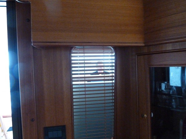
- Take A Peek Inside Vanish