Isla Coronados to Bahia Concepción
17 April 2018
Isla Coronados is distinguished by a volcanic cone rising over 900 feet above sea level. At the south end there is a bay inside of a long sand spit that offers protection from winds from just about all directions except southwest. The anchorage is only about 6 mile northeast of Loreto and I could see the lights of the city at night. That meant that I had a bit of cell service there and was able to communicate with a few friends and relatives.
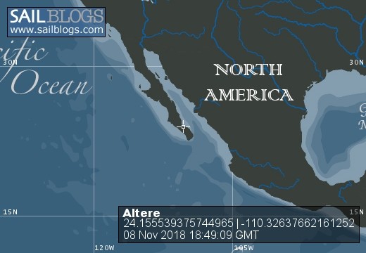
That also afforded me another look at the wind predictions for the coming week. The Windy app was predicting a northerly blow into the 30 knot range for Friday and Saturday. Figuring this into voyage planning, I wanted to find a place to hunker down with good protection during that time period. I began to make plans to travel the 66 nm into Bahía Concepción in the ensuing two to three days.
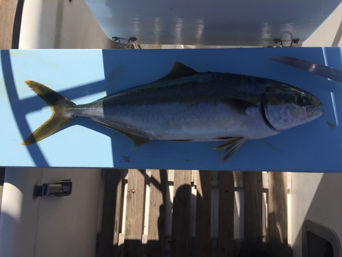
I headed north from Isla Coronados for Punta Pulpito which has good protection from northerlies. However when I got there, the swell was running from the southeast and I was rolling quite a bit. I went another 6 nm around the corner to Bahía San Nicolás. It was on this short ride that a small Yellowtail Tuna volunteered to fill my fry pan for dinner. I must say that freshly caught fish is quite a treat. This guy yielded two good sized filets, one of which went right into the pan with some lime, cilantro, and chipotle sauce.
After anchoring in about 20 feet of water and cleaning the tuna, I took a cockpit shower. I have a heavy duty garden sprayer that has been modified with a kitchen sprayer on it. If it sits out in the sun all day the water gets quite warm. I was able to get clean using very little water and wash some of the salt and fish scales out of he cockpit at the same time.
The next day, I left early to head for Bahía Concepción. Part way there, the wind came up from behind me enough that if I unrolled the jib I got another half knot or so of boat speed. This kept up all the way around the corner into the bay. The win backed and it was coming out of the west as I headed south into the bay allowing me to continue to use the jib most of the way.
I have written before about the charts not being accurate in some parts of México. Sure enough, as I approached the Bahía Coyote where the cove I planned to stay was located, I found very thin water that was not on the chart. I could see the bottom in a place where the Navionics chart reported over 60 feet. I carefully made my way around this shoal to the entrance where the water quickly deepened. I anchored at Playa Santispac.
Here, there are houses and a couple of restaurants around the bay as well as an RV park. The reason for this is that Bahía Coyote is right on Mexican Highway 1. On my way into the bay I passed a very tall cell phone tower and was hopeful that I would have service. But alas, once anchored, I had none. I was disappointed because I both wanted to check on the windy app for predictions and to communicate with a few people at home.

Comments