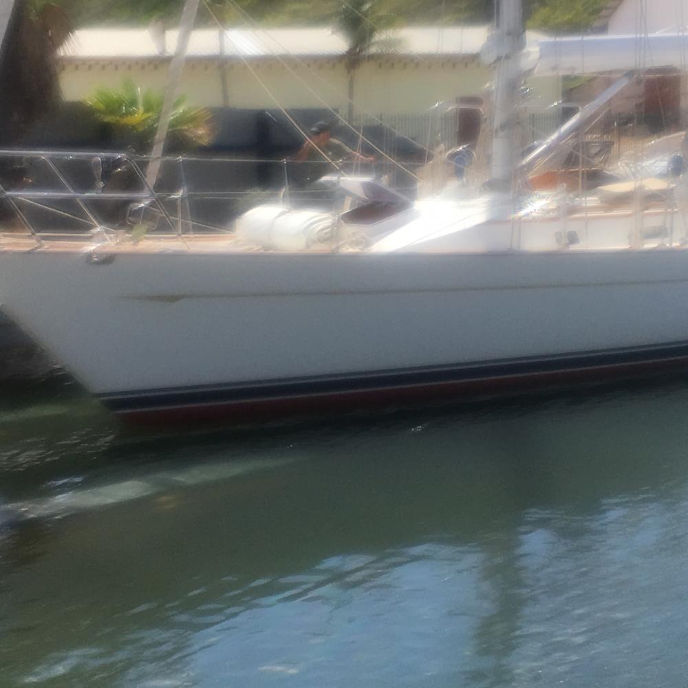
Cailin Lomhara
Some stories of our life wandering the oceans, along with some random thoughts on matters either important or trivial. Through words and pictures it is our way to share our life a bit, perhaps even what we learn along the way.

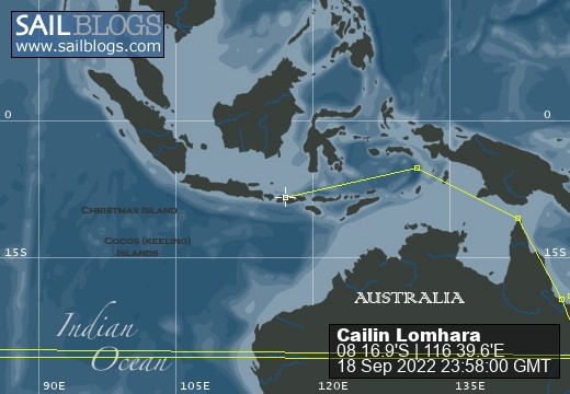
18 September 2022 | 08 16.9'S:116 39.6'E, Bali Sea
22 July 2022 | 05 05.0'S:131 02.6'E, Banda Sea
08 July 2022 | 10 34.2'S:142 03.3'E, Torres Strait, Arafura Sea
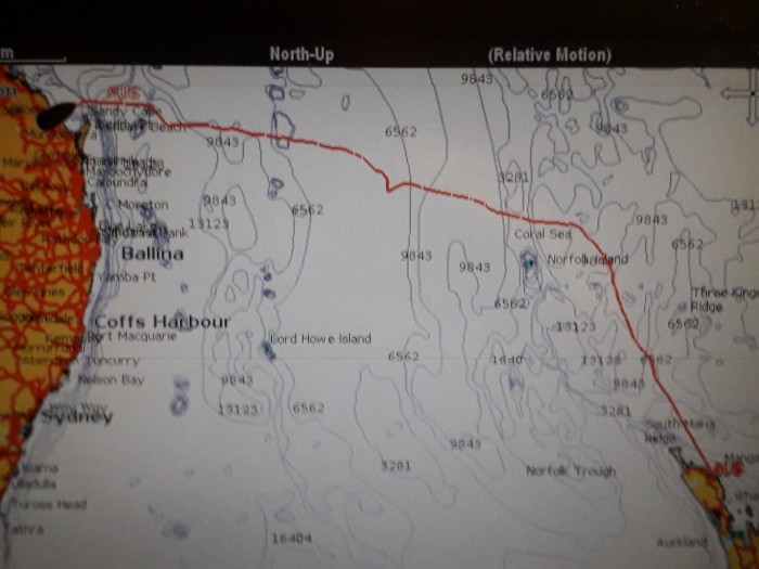
01 June 2022 | Coral Sea, East Coast Australia
11 April 2022 | 32 14.9'S:152 41.2'E, Tasman Sea, East Coast Australia
10 April 2022 | Newcastle, Australia Tasman Sea
24 December 2020 | Royal Prince Alfred Yacht Club, Newport, NSW, Austrailia
05 June 2020 | Ku-Ring-Gai-Chase National Park, NSW, Australia
21 March 2020 | Sydney Harbour
15 March 2020 | Tasman Sea
15 March 2020 | Port Arthur, Tasmania
12 March 2020 | Port Arthur, Tasmania
10 January 2020 | Prince of Wales Bay
31 December 2019 | 42 53.0'S:147 20.15'E, Hobart, Tasmania
29 December 2019 | 41 06.6'S:149 49.8'E, Tasman Sea
28 December 2019 | 39 42.26'S:149 58.0'E, South of Bass Strait, Tasman Sea
27 December 2019 | 36 59.9'S:151 04.4'E, Southbound Off the Coast of Australia
26 December 2019 | 35 17.3'S:151 23.5'E, Southbound Off the Coast of Australia
25 December 2019 | Cruising Yacht Club of Australia, Sydney
17 December 2019 | Cruising Yacht Club of Australia, Sydney
This is late, thought it was posted previousely!
26 June 2019 | Port Bundaberg Marina, Austrailia
Larry Green
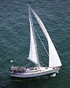
The picture above is our actual track from Opua, NZ to Bundaberg, AU, a passage of 1650+/- NM which took 13 days. It was the second longest non stop passage we have made, the longest being crossing the Pacific from The Galapagoes Islands to the Marquesas in French Polynesia.
It has been 12 days since my last post, which was when, or shortly after we arrived in Australia. Some may wonder what have we been doing all that time, needless to say I am about to tell you.
First, several days were spent recovering from really nasty colds. Charlene had just about gotten over the cold she picked up on the plane when she flew to the US about 3 months ago to get her USCG physical and drug test. I, on the other hand had barely seen the full effect of the cold I picked up in the US about 2 months ago. I believe one or all of the crop of 2017 grandchildren contributed to my cold. Fortunately, I do not get sick very often, when I do it can sometimes make up for the years between colds. This was one of those make up colds. Not really uncomfortable, a bit of a cough, and the worst running nose I can remember. Thus, several days were spent simply hanging out, not doing much and attempting to recuperate. It is fair to say we are much better, perhaps not quite complete, but certainly way better.
Next, it is difficult to reconcile the size of Australia with what we have become accustomed to. Yes, it is an island, the largest in the world and nearly equal in size to the US. The population is about the same as the population of Texas. Other than passagemaking between countries, most of our sailing is short trips from one atoll or island to another. Here, the distances between ports are significant, usually in the hundreds of miles. We are currently (still) in Bundaberg or more properly at Burnett Heads, in the Port of Bundaberg, the town being about 12 miles from here. We are at the southern end of the Great Barrier Reef, which stretches about 1600 miles to the north. (about the same as the distance from Boston to Miami). I believe it is the largest reef on the planet. What I know is navigation is a bit tricky.
First, like most reef areas it is not exceptionally well charted, the major islands and atolls are on the charts as are areas with lots of coral heads, but the well-worn rule of getting settled for the night before sunset is definitely the local, and wise, custom. What this means is that some long-range planning must be done. We will need to know precisely where the next anchorage is that we can reach in daylight, thus a detailed itinerary is necessary. There are a couple of complications, one being the tidal currents and the second the hours of daylight. The shortest day of the year will be in 5 days; accordingly, the sun comes up around 0630 in the morning and is gone by 1700 or so in the evening.
The tidal current is a more complex issue; generally, the tide ebbs to the south and floods to the north. That part is OK, however in parts of this area the tidal range is similar to the Bay of Fundy; i.e. a normal tide can be 20 or more feet, spring tides are more so and tidal currents are frequently charted at up to 3 kts. In some places it is higher. All that really means is that if we are heading north on an ebb tide it is going to take a bit longer so planning must include the state of the moon, the time of the tide in the area we are traversing, sunrise and sunset and all the other stuff that goes into charting a course.
It is not particularly dangerous, but it is important to use all your skills and plan carefully. The local maritime authorities require that we carry all the paper charts for the area, which have been ordered, as have coast pilots and other required items. One other interesting thing about the Great Barrier Reef is that the reef is "zoned" for a variety of purposes and there are eleven zone charts which specify what can and can and can not be done in any particular zone. These maps also helpfully indicate were Crocodiles hang out, as well as other things that will eat you like Bull Sharks, and stuff that will poison you like most jellyfish. We had coffee this morning with a couple that has cruised extensively most of the Australian coast. They provided a wealth of information, including links to web sites that provide all the zone maps, rules, regulations etc.
Back to what have we been doing; a ton of research on where to go, where to buy groceries and fuel, places to anchor and or pick up a mooring, things to be wary of etc. We most likely will have at least another week of planning to accomplish before we leave along with the usual boat chores. I must add we have done some fun things as well; a pot luck barbecue for all the cruising boats here where we met some delightful people (mostly Aussies, and I think we are the only US flagged boat here) and we went to the Bundaberg Rum Distillery for a tour. Fascinating story about how, about 135 years ago some enterprising town folks, fed up with the rivers of excess molasses from the sugar cane refining process, decided to build a rum distillery. They also make ginger beer and invented the Dark and Stormy, so they claim. More later................
Comments
| Vessel Name: | Cailin Lomhara |
| Vessel Make/Model: | Tayana 52 |
| Hailing Port: | Anna Maria Island, FL |
| Crew: | Charlene Green & Larry Green |
| About: | |
| Extra: | |
| Home Page: | www.predictwind.com/forecasts/display/CailinLomhara |
| Social: |
|
Cailin Lomhara's Photos - Main
 |
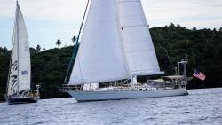
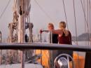
Pictures of our a bit of our preperation, pictures of the race start, our boat underway, the crew, and a bit in Hobart.
58 Photos
Created 5 January 2020
|
 |
Some scenes from Tonga June through August 9th 2018, mostly the Refuge Yacht Race
10 Photos
Created 10 August 2018
|
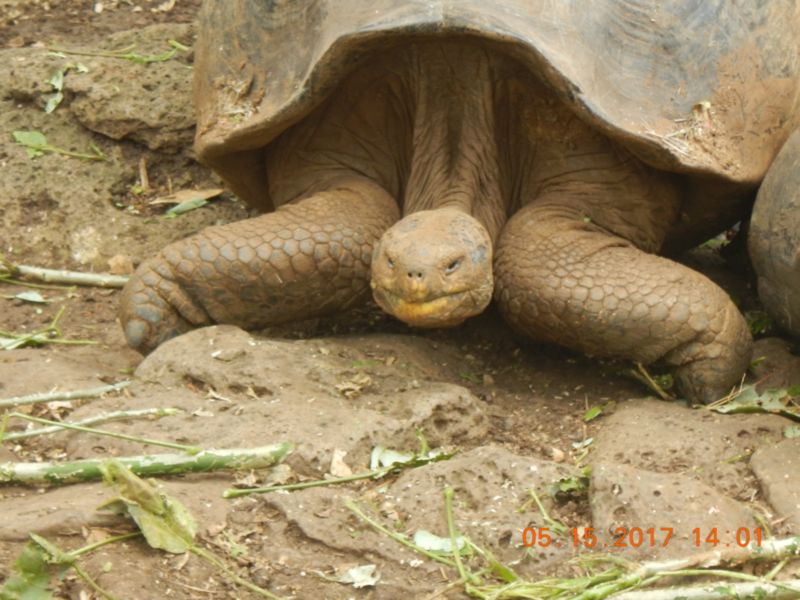 |
Pictures from the passage to this part of the South Pacific along with pictures we will add of what we see while we are here.
22 Photos
Created 15 May 2017
|
 |
At 0430 Friday our Pilot/Advisor came aboard and 30 minutes later we were underway headed for a single day transit. Some of the photos are taken inside the lock(s) others of the scenery along the way.
40 Photos
Created 30 April 2017
|
 |
Our passage to Columbia. Lots of wind, mostly from abaft the beam.
6 Photos
Created 13 January 2017
|
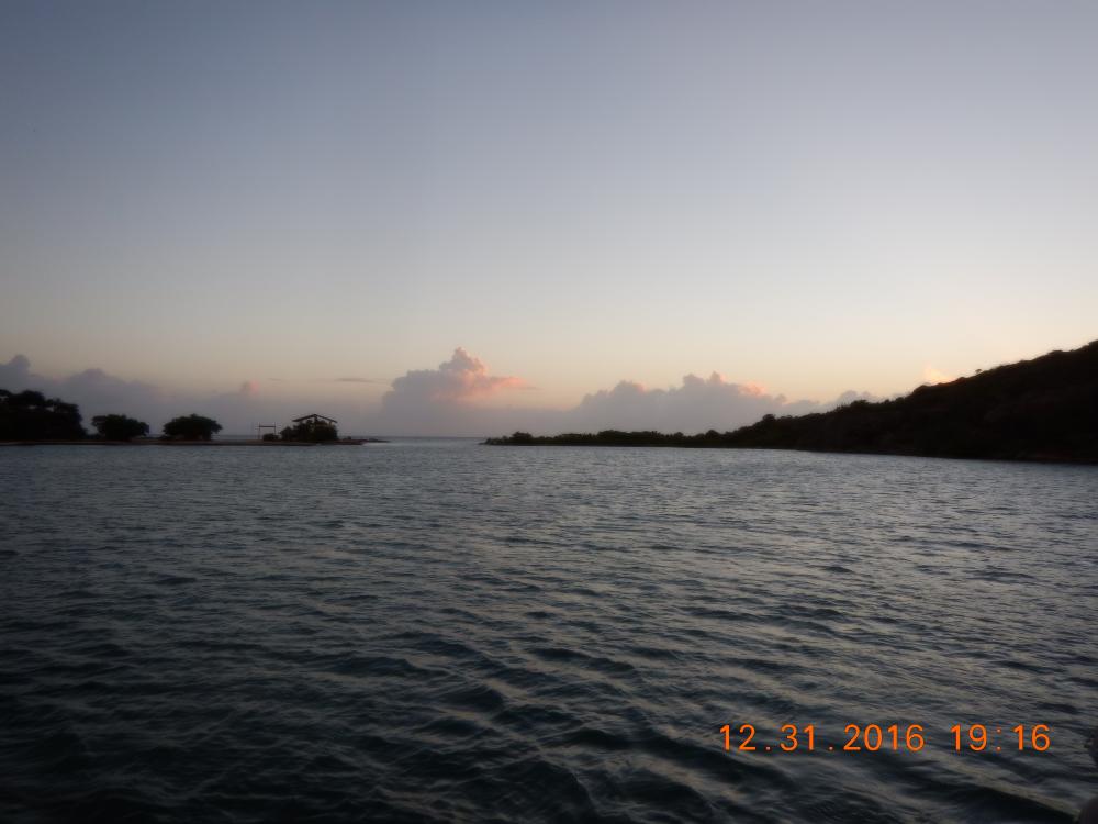 |
A beautiful, pretty much uninhabited spot to welcome the new year with it's possibilities
9 Photos
Created 1 January 2017
|
 |
When all your worldly possessions are aboard your boat/home it rides a little lower than designed. We finally raised the waterline in Curacao
4 Photos
Created 28 December 2016
|
 |
One of the most unusual islands in it's beauty and charming people. Most of these photos were taken when we were touring the island with Hubert Winston as our guide. There are no marinas and only two viable anchorages, one in Portsmouth, the other to the north in Roseau. We were there through Christmas 2015.
7 Photos
Created 11 January 2016
|
 |
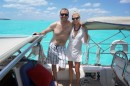
Some of us, family, friends and folks we have met
22 Photos
Created 3 September 2014
|
 |
 |
Views of places and people we have met along the path.
26 Photos
Created 3 September 2014
|
 |
Cailin Lomhara
Who: Charlene Green & Larry Green
Port: Anna Maria Island, FL
Gallery