
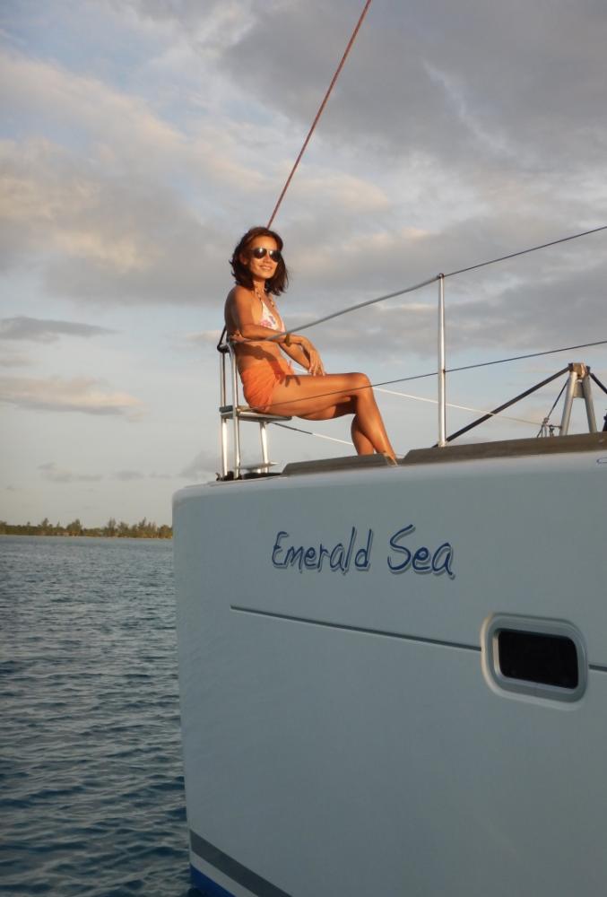
Aroundoceans with SV Emerald Sea
Our journey on water

25 March 2018 | Victoria. British Columbia
05 October 2017 | Victoria BC
24 August 2017 | Victoria, British Columbia, Canada
27 July 2017 | Reeds Bay, Hilo, Hawaii
10 July 2017 | Reeds Bay, Hilo, Hawaii
22 June 2017 | Bora Bora, French Polynesia
18 June 2017 | Bora Bora, French Polynesia
12 June 2017 | Humane, French Polynesia
05 June 2017 | Moorea, French Polynesia
05 June 2017 | Tahiti
07 May 2017 | Tahiti, French Polynesia
21 April 2017 | Fakarava, Tuamotu's, French Polynesia
05 April 2017 | Tahanea Atoll. Tuamotu's, French Polynesia
05 April 2017 | Makemo Atoll, Tuamotu's, French Polynesia
07 March 2017 | Rikitea, Mangareva, Gambier Islands, French Polynesia
20 February 2017 | Rikitea, Gambier Islands, French Polynesia
14 January 2017 | Playita, Panama City, Panama
02 January 2017 | La Plait, Panama City
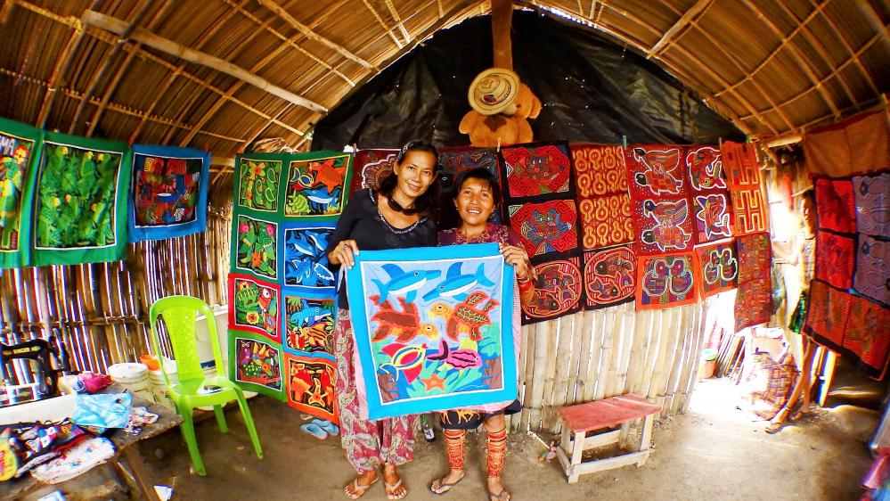
17 December 2016 | Isla Nargana
16 December 2016 | San Blas, Panama
Indian Ocean Crossing Continued
25 December 2014 | Phuket, Thailand
Steve
In planning (in terms of timing) our crossings, one of my strategies has been in consulting books and charts to determine best timing, in relation to weather, for crossing the Indian Ocean or any major crossing. We have used the latest editions of Jimmy Cornell's World Cruising Routes and Ocean Atlas which includes monthly trends for wind direction, wind force, major weather anomalies such as hurricanes, cyclones and currents. January to March is a good time to leave Thailand as the NE monsoon has generally set in well and westerly winds are expected to be favorable without any major weather anomalies. So while this determines which period we sail, of course, the final departure date is based on a favorable weather forecast (window) which we're able to obtain from Sailmail (Weatherfax; SSB radio) or OCENS (paid service; download via our satellite phone); each I can receive 24/7 for a 1 to 5 day outlook. In addition, a review of the ocean currents will determine whether I can steer a rhumb line or need to correct for the drift - which in the case of a catamaran with a shallow keel, is a certainly the case. Continual reviews of the clouds and barometer are our other means to ensure a safe passage.
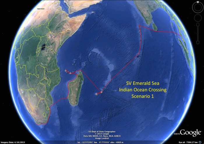
In general terms the listing of visiting countries takes us from Phuket to Cape Town on a south westerly route that avoids the northern route.
1. Phuket to Maldives (Uligan) with a stop at the Andaman Islands (non-checkin) and a possible (not scheduled) stop in Gan, Sri Lanka. This will be an approx 10 day crossing.
2. Maldives for approx 4 weeks, checking in a Uligan and clearing out at Gan
3. Maldives to Chagos for 4 weeks
4. Chagos to Mauritius where we will spend 4 weeks
5. Mauritius to Reunion, again spending 4-6 weeks
6. Reunion to Mauritius then up to Northern Madagascar and to Comoros Islands
7. Comoros to Nosy Be, Madagascar
8. Down the western side of Madagascar and across to Richards Bay
9. Then hopping along the South African coast to Cape Town with acceptable weather windows.
10. Cape Town - for Christmas 2015
This is a Plan....its likely to change!
The northern route towards the Red Sea (and into the Mediterranean Sea), while desirable, is out of the question for us due to the Somali pirate situation. While it seems from reports that actual pirate incidents have diminished in 2013-4, they have by no means parked their boats yet and we don't want to be the ones they run down! They are still very active. I have noticed that there are a number of yachties passaging this northern route in 2015 - confident that they wont have an encounter. We wish them plenty luck (seriously).
I've prepared our high level passage plan that includes best weather periods, entry ports, refuge ports, contact info, SSB weather nets, visa requirements, Google Earth images, etc. along with more detailed package for each country. The S Africa passage document includes detail on the various distances required to be from shore to either capture a favorable Agulhas current or get away from it when the winds counter the current (not a good situation!).
Emerald's readiness will take a approx a week where we will berth the boat in Yacht Haven in Phuket and will include a rigging audit (health check of all sails, shrouds and rigging by a professional yacht rigger I met in Phuket), major provisioning, readiness of the drogue and storm sails, jack lines, seafastening including the dingy/outboard, SSB and Sat phone checks, storage, fueling, emergency repair kits, etc. We have the customary safety equipment: EPRIB (yes, registered), life raft (yes, in-date), life jackets with PIB's, MOB equipment, etc. All to be function checked. This is all documented in our 'Plans and Procedures' document that Ive put together over the last 2 years.
We're excited!
Comments
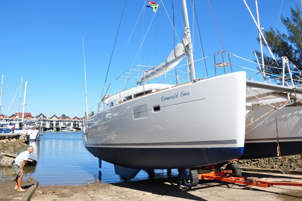
| Vessel Name: | Emerald Sea |
| Vessel Make/Model: | Lagoon 450 |
| Hailing Port: | Singapore |
| Crew: | Steve P, Rosemarie P |
| About: | |
| Extra: | |
| Social: |
|
Emerald Sea's Photos - Main
Photos 1 to 10 of 10 |
1 |
 |
 |
 |
 |
 |
 |
 |
 |
 |
 |
1 |
 |
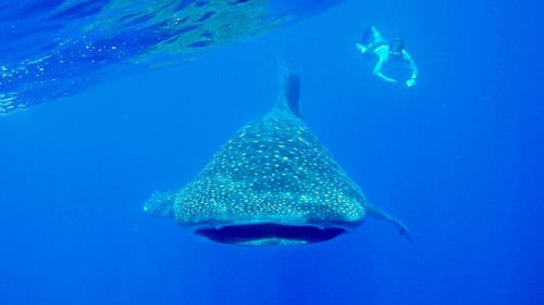
Hawaii was a stop over on our way to Canada however we were pleasantly surprised and enjoyed our 3 weeks in Big Hawaii.
13 Photos
Created 27 July 2017
|
 |
 |
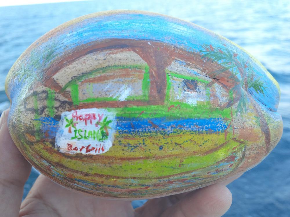
A selection from 1000's of photos from out 6 months in French Polynesia. But were missing the photos from Gambier, Makemo, Tahanea.....
17 Photos
Created 27 July 2017
|
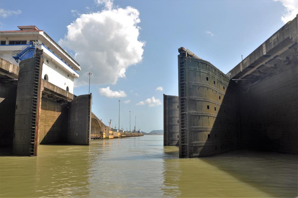 |
We transited the Panama Canal on 30-31st December 2016.
20 Photos
Created 2 January 2017
|
 |
 |
Barbados, Martinique, St Vincent & the Grenadines, Grenada. A few of our photos captured here.
10 Photos
Created 22 October 2016
|
 |
 |
 |
What doesn't fit into the albums will be found here....
15 Photos
Created 20 December 2015
|
 |
.jpg) |
 |
 |
 |
 |
 |
Our first 2 weeks out in East Malaysia (Sept 14)
5 Photos
Created 18 September 2014
|
 |
Our Bon voyage party with our yachtie neighbors.
3 Photos
Created 24 August 2014
|
 |
In June 14 we sailed up to Pulau Tioman for our first journey of living on this new boat and trialing new equipment including the drogue system, storm jib, solar system and other vessel installations.
6 Photos
Created 17 July 2014
|
Aroundoceans with S/V Emerald Sea
Who: Steve P, Rosemarie P
Port: Singapore
Gallery
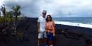


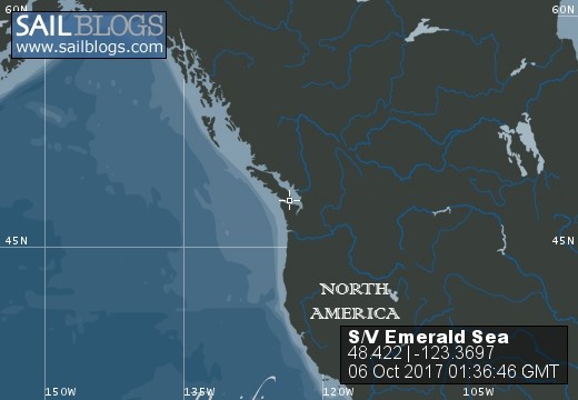
Table of Contents
SailBlogs Friends
TEST