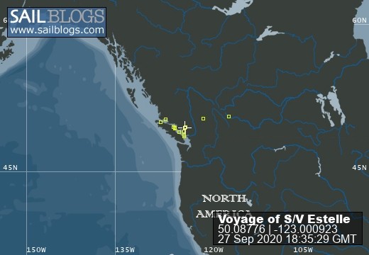
The Voyage of S/V Estelle
Cruising the British Columbia Coast
Estelle Profile
Who: Jeannie & Jim Lea
Port: Charlottetown, PEI
Gallery


SailBlogs Friends


27 September 2020
26 September 2020
26 September 2020 | The Broughtons
26 September 2020 | Vancouver Rowing Club
07 February 2020
03 February 2020 | Northern Georgia Strait
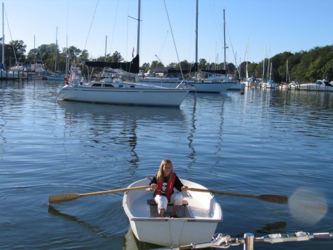
30 September 2018 | Vancouver Rowing Club
10 September 2018 | The Laughing Oyster, Okeover Landing
08 September 2018 | Von Donop Inlet, Desolation Sound
08 September 2018 | Port McNeill, BC
08 September 2018 | Port McNeill, BC
16 August 2018
16 August 2018 | Turnbull Cove, BC
15 August 2018 | Pierre's Echo Bay Resort
15 August 2018 | Kwatsi Bay Marina, The Broughtons
15 August 2018 | Potts Lagoon, West Cracroft Island, BC
05 August 2018 | Kwatsi Bay
01 August 2018 | Big Bay
01 August 2018 | Von Donop Inlet
27 July 2018 | Lancelot Inlet, Desolation Sound Marine Park
Landfalls in Paradise
04 March 2011 | Isla de Providencia, Colombia
Sunny, Air Temp 88F, Water temp 80F, Wind NE@5-8
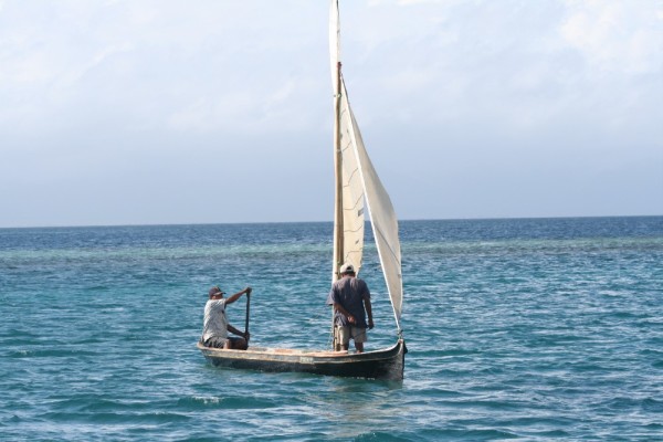
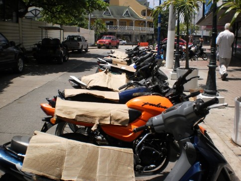
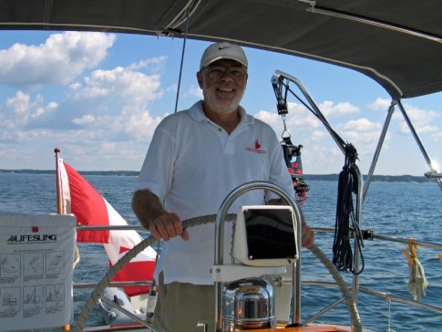
Easy Rider!!!
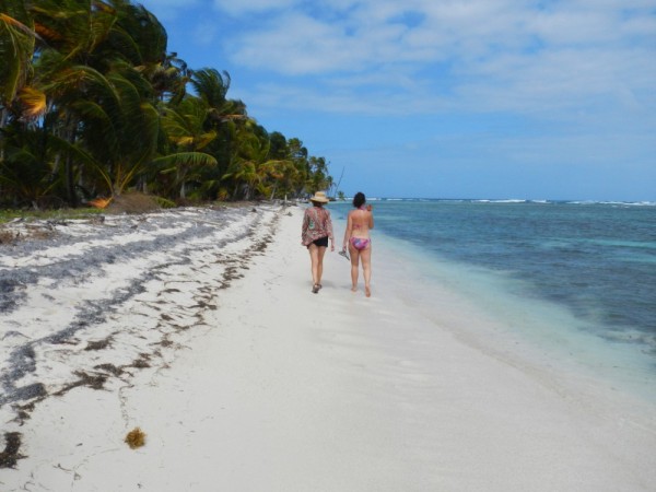
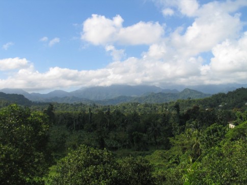
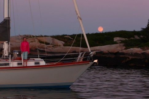
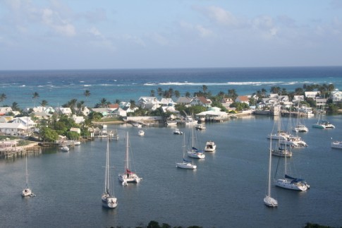
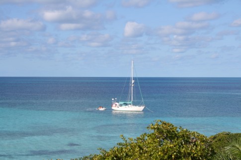
Yesterday, our third day on the water, we watched as Isla Providencia rose out of the seas looking like a scene from South Pacific. The tiny island (two miles wide, four miles long) is mountainous and covered with lush tropical vegetation with small colorful buildings clinging to the shore hidden under palm trees.
As we approached, the seas dropped behind the reef extending six miles to the north of the island. Our charts (both paper and electronic) noted the area behind the reef as a "good anchorage" so we motored in. But we quickly realized that the charted depths and the reality were very different. So we turned around and continued in to Ste. Catalina harbour, another seven miles down.
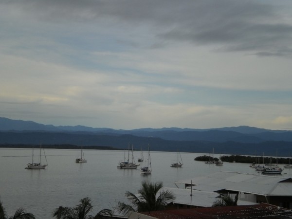
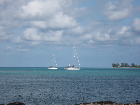
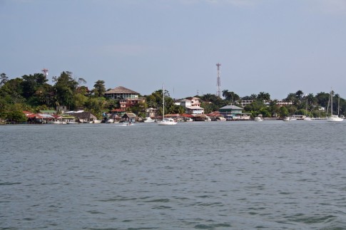
Entering, we tried unsuccessfully to untangle the confusion of buoys. Some were charted, some not. So to be sure, we went one way and Seabird another. Both of our courses crossed reefs on the charts, but both of us found lots of water. Rounding up into the small harbor, we were surprised to see a fleet of ten other cruisers anchored from all parts of the globe. But tired, we just had dinner (roast Cornish Hens with new Jamaican potatoes and green beans and a cold Chardonnay) and turned in. This morning, refreshed after a good sleep, we called "Mr. Bush", the agent for clearing in. He told us he would be out at 3:00 pm, so we have lots of time to do things like this blog, cleaning up after a passage, etc.
In addition to Seabird, a Dutch boat arrived this morning and is waiting to clear in. They left Holland, cruised the coast of Brazil, Argentina, passed around Cape Horn, and up the west coast of South America. Their plan is now to do the east coast of North America, the North-west passage, and back through the Panama Canal to complete a figure-8 trip around North and South America. Very ambitious. We were congratulating ourselves on our progress, but it is mild by comparison.
One thing I found time to do while waiting for Mr Bush was contemplate our charts. Our paper chart, the latest edition, is taken from a survey by the Royal Navy, done in 1835. I knew that as we approached. But I thought I could rely more on the electronic charts with the latest in buoyage shown. Then I realized that the electronic charts were just a replica of the paper one, converted from fathoms to feet. I guess coral can grow in 176 years, accounting for the difference between the charts and reality. And I have no idea where they got the information for the buoys. Some are accurate, some don't exist in reality and some that do exist aren't shown. Oh well, It just means we have to be careful.
We are looking forward to heading ashore. Reports from other cruisers sound good. we'll stay here for a couple of days then head for Isla San Andres just 60 miles south of here.
Yesterday, our third day on the water, we watched as Isla Providencia rose out of the seas looking like a scene from South Pacific. The tiny island (two miles wide, four miles long) is mountainous and covered with lush tropical vegetation with small colorful buildings clinging to the shore hidden under palm trees.
As we approached, the seas dropped behind the reef extending six miles to the north of the island. Our charts (both paper and electronic) noted the area behind the reef as a "good anchorage" so we motored in. But we quickly realized that the charted depths and the reality were very different. So we turned around and continued in to Ste. Catalina harbour, another seven miles down.
Entering, we tried unsuccessfully to untangle the confusion of buoys. Some were charted, some not. So to be sure, we went one way and Seabird another. Both of our courses crossed reefs on the charts, but both of us found lots of water. Rounding up into the small harbor, we were surprised to see a fleet of ten other cruisers anchored from all parts of the globe. But tired, we just had dinner (roast Cornish Hens with new Jamaican potatoes and green beans and a cold Chardonnay) and turned in. This morning, refreshed after a good sleep, we called "Mr. Bush", the agent for clearing in. He told us he would be out at 3:00 pm, so we have lots of time to do things like this blog, cleaning up after a passage, etc.
In addition to Seabird, a Dutch boat arrived this morning and is waiting to clear in. They left Holland, cruised the coast of Brazil, Argentina, passed around Cape Horn, and up the west coast of South America. Their plan is now to do the east coast of North America, the North-west passage, and back through the Panama Canal to complete a figure-8 trip around North and South America. Very ambitious. We were congratulating ourselves on our progress, but it is mild by comparison.
One thing I found time to do while waiting for Mr Bush was contemplate our charts. Our paper chart, the latest edition, is taken from a survey by the Royal Navy, done in 1835. I knew that as we approached. But I thought I could rely more on the electronic charts with the latest in buoyage shown. Then I realized that the electronic charts were just a replica of the paper one, converted from fathoms to feet. I guess coral can grow in 176 years, accounting for the difference between the charts and reality. And I have no idea where they got the information for the buoys. Some are accurate, some don't exist in reality and some that do exist aren't shown. Oh well, It just means we have to be careful.
We are looking forward to heading ashore. Reports from other cruisers sound good. we'll stay here for a couple of days then head for Isla San Andres just 60 miles south of here.
Comments
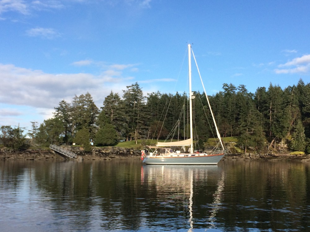
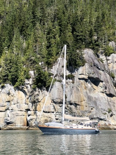
| Vessel Name: | Estelle |
| Vessel Make/Model: | Bristol 41.1 |
| Hailing Port: | Charlottetown, PEI |
| Crew: | Jeannie & Jim Lea |
| About: | |
| Extra: | After cruising the east coast of North America for 10 years, from Nova Scotia to Panama, it's time for a change. Estelle will be cruising the coast of British Columbia and Alaska beginning in 2017. |
Estelle's Photos - The Voyage of S/V Estelle (Main)
 |
Cruise to Desolation Sound and the Broughtons, British Columbia
81 Photos
Created 26 September 2020
|
 |
From Pender Harbour to Sidney, July 20-26
18 Photos
Created 4 February 2020
|
 |
|
|
 |
 |
 |
Our cruise of the Gulf Islands and San Juan Islands in May & June, 2017
84 Photos
Created 21 July 2017
|
 |
Our first BC cruise, from Pender Harbour to Strait Marine in Steveston BC
26 Photos
Created 27 April 2017
|
|
|
|
Our first year cruising... Exumas, Bahamas.
11 Photos
Created 28 July 2015
|
|
|
 |
 |
 |
 |
 |
 |
 |
 |
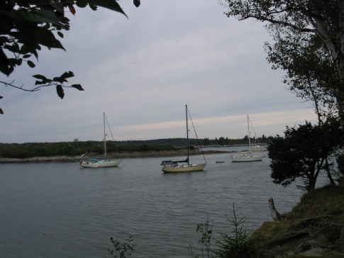
Pics of our trip from Mount Desert Islans to the Saint John River in July 2014.
64 Photos
Created 14 August 2014
|
 |
 |
 |
 |
 |
 |
 |
 |
 |
 |
 |
 |
 |
 |
 |
 |
 |
 |
 |
 |
 |
 |
 |
 |
 |
 |
 |
 |
 |
 |
 |
 |
 |
 |
 |
 |
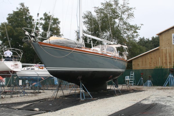
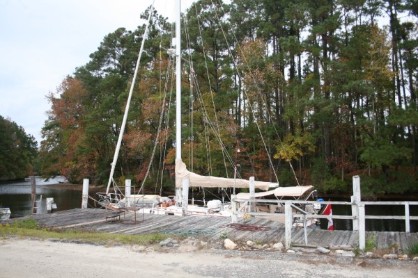
Some photos at John Williams Boatyard as we prepare for departure.
7 Photos
Created 14 September 2010
|
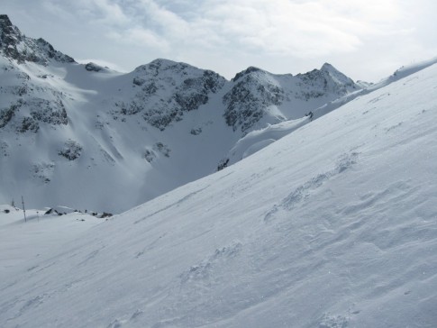 |
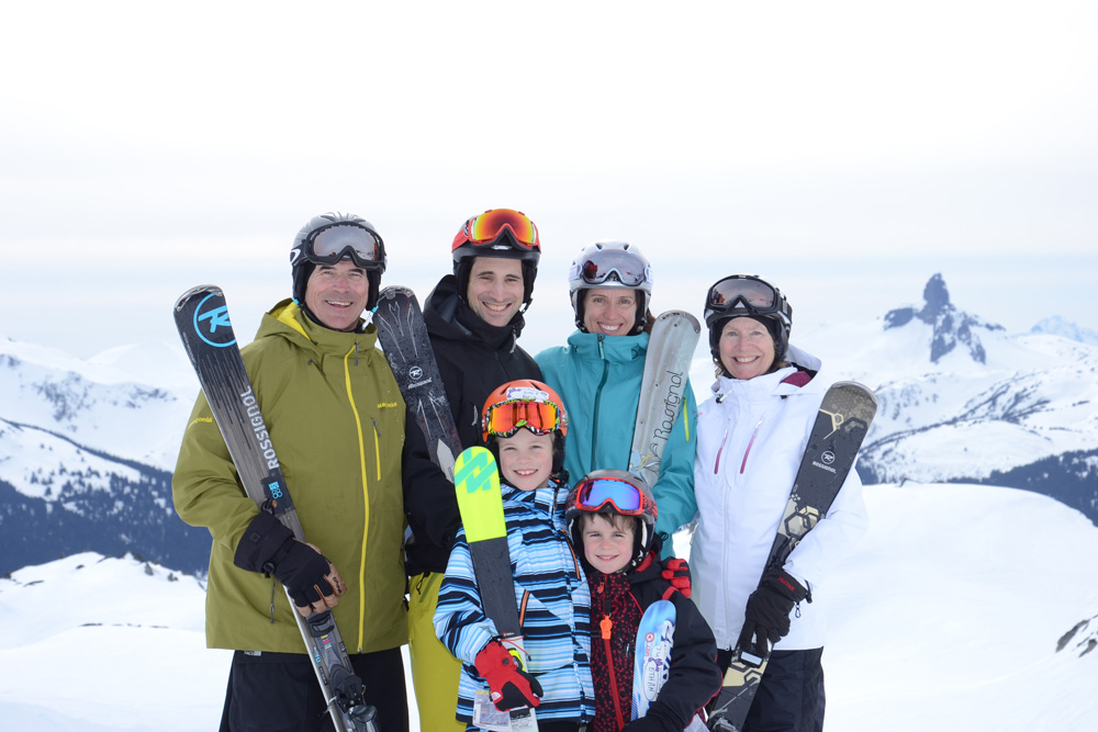
Our trip to various BC ski resorts Jan-Feb 2010
69 Photos
Created 7 February 2010
|
 |
 |
Our trip from Norfolk Va to Mount Desert Island, June 20th to July 7th, 2009. Gerard Watts aboard as crew!
89 Photos
Created 8 July 2009
|
 |
 |
 |
 |
 |
 |
 |
 |
 |
 |
Trip south from Maine to Bahamas, Sept-Dec 2007
42 Photos
Created 26 December 2007
|
 |
 |
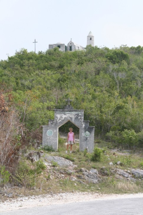 |
These are pictures of The Hermitage on Cat Island, Bahamas. It was built single-handedly by Faather Jerome who was sent out by the Church of England to rebuild churches destroyed in the hurricanes in the early 20th century. He then converted to catholicism and built a number of Roman Catholic churches until he sought and received permission to build this hermitage where he spent the remainder of his life.
10 Photos | 1 Sub-Album
Created 24 June 2007
|
 |
 |
 |
 |
These pictures were taken while on Long Island, Bahamas, in February, 2007
6 Photos
Created 11 March 2007
|
 |
This album contains some photos of our time in the Jumentos Islands, in the Bahamas
11 Photos
Created 11 March 2007
|
 |
 |
 |
 |
 |
 |
 |
 |
 |
 |
Estelle Profile
Who: Jeannie & Jim Lea
Port: Charlottetown, PEI
Gallery
SailBlogs Friends