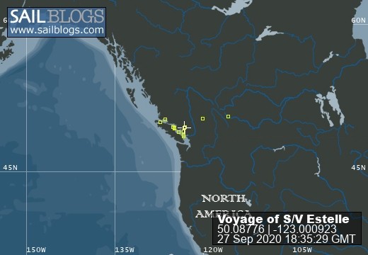
The Voyage of S/V Estelle
Cruising the British Columbia Coast
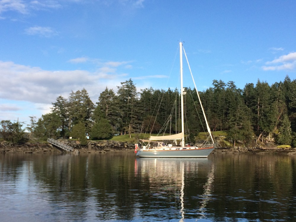
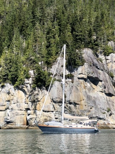
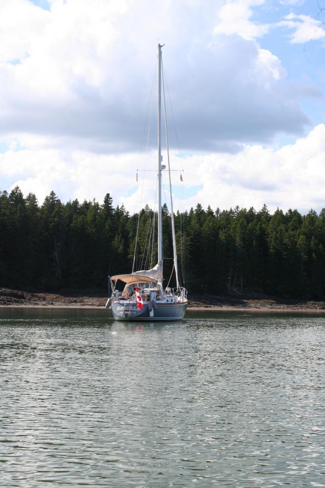
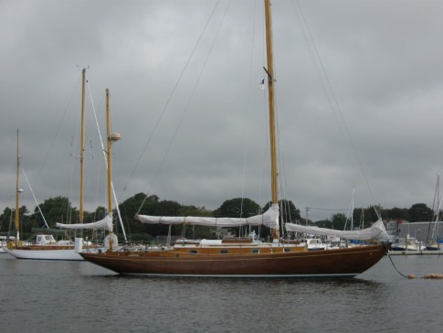
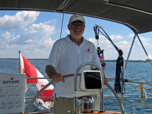
Estelle Profile
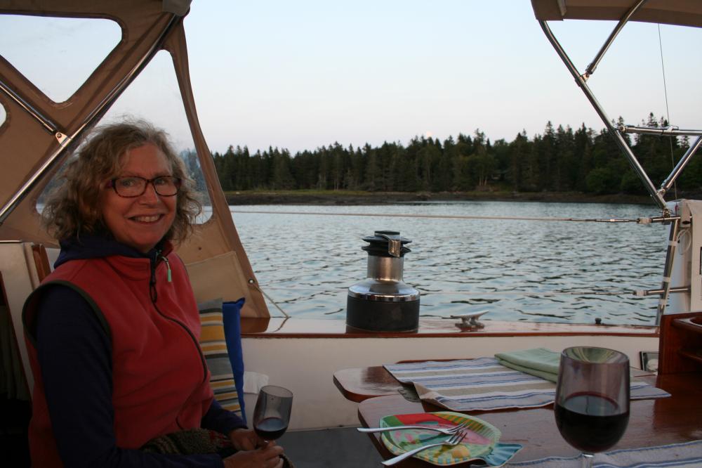
Who: Jeannie & Jim Lea
Port: Charlottetown, PEI
Gallery

SailBlogs Friends


27 September 2020
26 September 2020
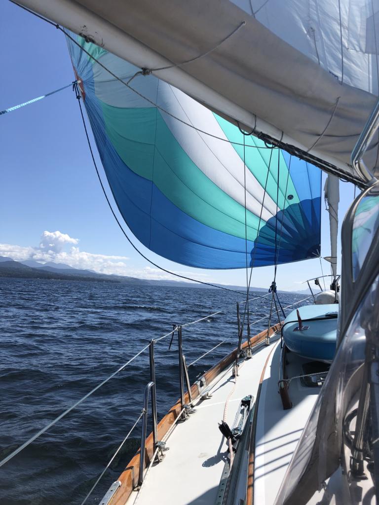
26 September 2020 | The Broughtons
26 September 2020 | Vancouver Rowing Club
07 February 2020
03 February 2020 | Northern Georgia Strait
30 September 2018 | Vancouver Rowing Club
10 September 2018 | The Laughing Oyster, Okeover Landing
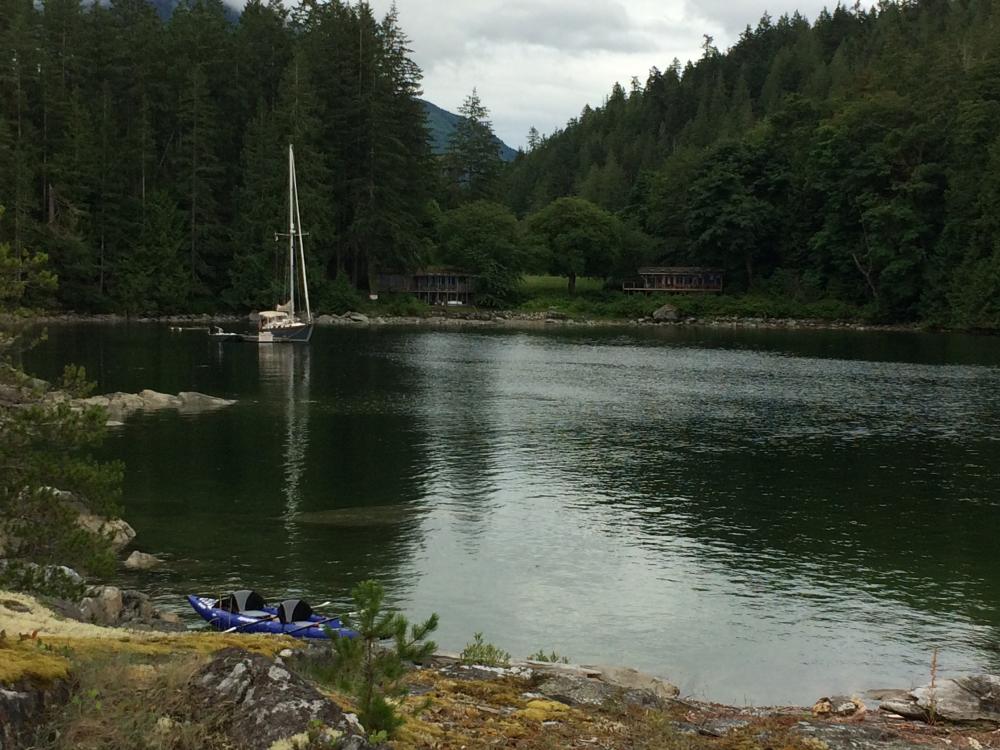
08 September 2018 | Von Donop Inlet, Desolation Sound
08 September 2018 | Port McNeill, BC
08 September 2018 | Port McNeill, BC
16 August 2018
16 August 2018 | Turnbull Cove, BC
15 August 2018 | Pierre's Echo Bay Resort
15 August 2018 | Kwatsi Bay Marina, The Broughtons
15 August 2018 | Potts Lagoon, West Cracroft Island, BC
05 August 2018 | Kwatsi Bay
01 August 2018 | Big Bay
01 August 2018 | Von Donop Inlet
27 July 2018 | Lancelot Inlet, Desolation Sound Marine Park
Down East Cruising
15 September 2015
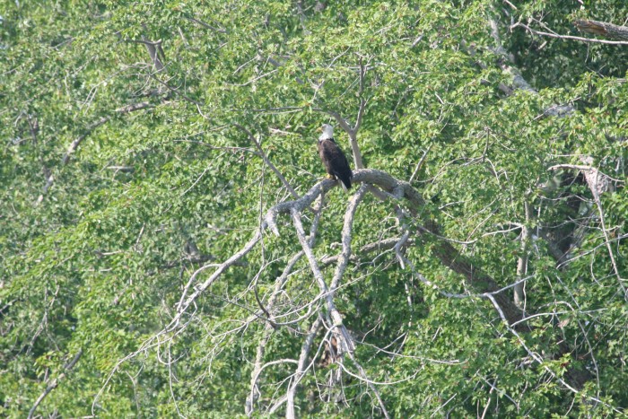
Bald Eagle in Jemseg Creek
August 16
We arrived back in Oromocto two days ago to find Estelle safe and well. As it was late in the day, we just unloaded our gear and arranged supper. As we worked, we chatted with the friendly members of the Oromocto Boat Club. Estelle was well taken care of, and we enjoyed the camaraderie of this very friendly club. In the morning we headed out on the standard pre-cruise chores... groceries, wine, etc. One task was re-fill one of our propane tanks. But we found out that it was out of date, so we will have to be careful to conserv out remaining propane. We carry two 10 lb tanks, each of which lasts about a month, so we should be OK as we just switched to the second tank a few days before we arrived here. But we will be careful. In mid-afternoon, I returned our rental car to the airport (5 km from the marina). And in late afternoon we were off down the river.
It was a light wind on the nose, so we just motored, and by early evening we were safely tucked in to Ram Island anchorage where we stayed on our way up. As it was a weekend, we passed up a couple of other anchoring options that were filled with local boats enjoying the nice summer weather, and found ourselves alone in this beautiful spot.
Next morning we had a swim after breakfast and coffee, then set off downriver. We re-traced our steps to Gagetown where we tied up to re-fuel, then another short walk through the town, stopping for fresh vegetables at the farmers market, lunch at the Creekview Restaurant, then off to Colwell Creek. The forecast fresh winds never materialized, and we had another beautiful night in this beautiful anchorage.
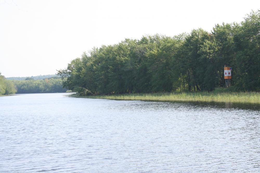
Jemseg Creek Entrance
19 August
From Colwell Creek we headed up two miles to the mouth of Jemseg Creek, the entrance to Grand Lake.
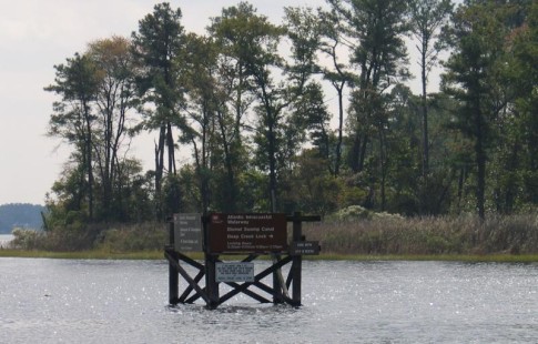
Grand Lake is the largest body of water on the Saint John River system. It is about 15 miles long and about 3 miles wide at its widest. And it provides the best chance of sailing on the River. But we motored into a flat calm lake, and headed for its main harbour, Douglas Harbour. The Fredericton Yacht Club maintains an outport club and moorings here, but in mid-week, all was quiet. Ashore we wandered the quiet rural road, and found an excellent combination of gas/diesel/grocery/propane/liquor store next to a small farmers market outlet. All that a cruiser could need!
Back aboard, we headed out into the rising breeze and enjoyed a beautiful sail to the far end of the lake where we pulled into the complete 360 degree protection of Flowers Cove where we anchored for the night.
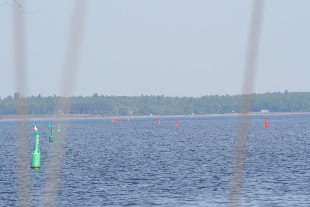
Entrance Channel, Grand Lake, NB
Next morning we began our descent of the river. In the still morning calm, we motored down the lake and out into the river where we pointed our bow downstream. By noon, a fresh southerly breeze on the nose meant a day of motoring. In the evening we were anchored in Kingston Creek, a small creek off Belleisle Bay. In the hot afternoon we swam to cool off, enjoying the warm fresh water. And I took the opportunity to replace the prop zinc. Another beautiful evening.
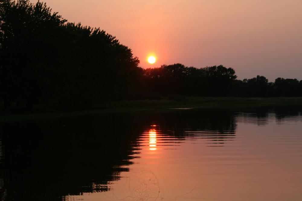
Quiet evening on the Saint John River
From here, we motored downstream to an anchorage in Milkish Channel behind Kennebecasis Island. Ashore, we wandered yet more quiet country roads, with the industrial stacks of Saint John just hidden by the island. In the evening we dinghied up Milkish Creek where we watched the locals diving and jumping from the local covered bridge.
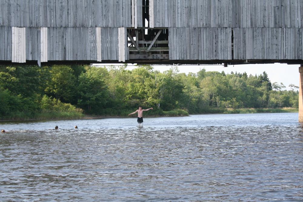
Summer fun
Departing Saint John NB
August 24
Our trip from Saint John to St Andrews can best be described with one word..."Fog".
Exiting the river through the Reversing Falls requires some timing. We were heading out at the "Slack After Low" meant waiting for 3 hrs, 50 Min after low tide in the outer harbour. But this is only approximate. If the river level fluctuates, then so does the time of slack. Because the river seemed to be 1' or so low, we decided slack would be about 15 minutes late. Well, we were about right, but not precisely at slack, but made it through with the last of the ebb pushing us on.
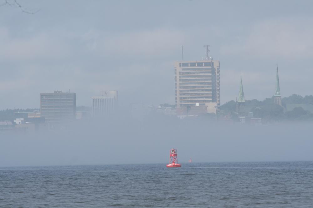
Naturally, we were met with fog as we sailed into the cold salt water of the Bay of Fundy.
Fog along Bay of Fundy Coast
As we motored out the harbour channel, we hoisted the main and turned on the radar. Plan for the night was another night in Dipper Harbour where we stopped on our way up.
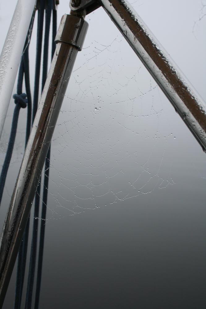
Heavy Fog on a Spider Web
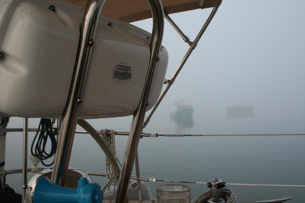
In the light winds, we sailed in and out of the fog, easily seeing the anchored ships awaiting entry to the port with their AIS signals. And we watched carefully as we watched the radar contacts come and go, sometimes seeing the cruisers passing us heading towards the river.
Groping our way into Dipper Harbour, we watched the huge breakwater materialize when 100' away. Inside the fog lightened enough to work our way between the moored fishing boats, where we grabbed an empty one.
Dipper Harbour
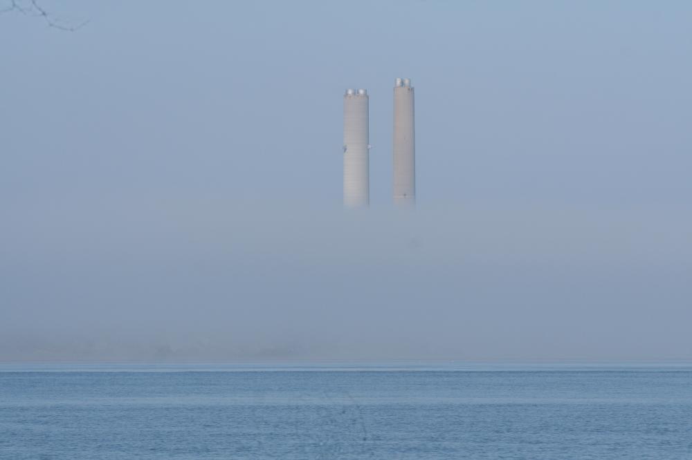
Next morning we headed out of Dipper Harbour again into thick fog. We set a course clear Point Lepreau, where its huge nuclear plant was hidden in the fog. From there we aimed for the entrance to Letang Harbour. I have read a number of accounts about its beauty, so we decided it was worth a stop. One guide assured us that the headlands were sufficiently large that they would be visible in the heaviest fog... Wrong!!
As we approached, I watched the Grand Manan ferry's AIS signal showing them approaching the harbour at the same time. I called the ferry who assured me he saw us both on radar and with our AIS signal. I told him we would wait for him to pass before we entered.
Watching his AIS show him safely at the dock, we began to grope our way in. By the time we were anchored, after three miles of fog, we had seen nothing but a couple of salmon pens showing vaguely in the fog.
So, we can say we have been to Letang Harbour, but we can't say we have seen it!
Next morning we saw the same scene... nothing. So we groped our way out again, then through Bliss Harbour and Letite Passage. Again I called the Deer Island ferry, and we agreed we would let them pass ahead.
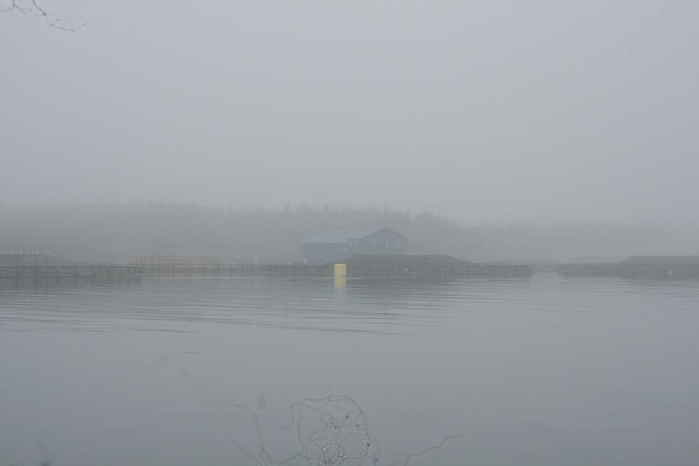
Letang Hbr. salmon pens where we spent a night seeing absolutely nothing except this.
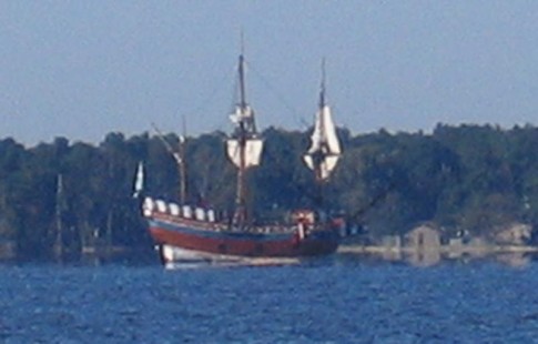
Breaking through into Passamaquoddy Bay, the fog finally fell away. We had decided to come into St Andrews both because we enjoy the beautiful town, but also to wait out some heavy (rain & wind) weather.
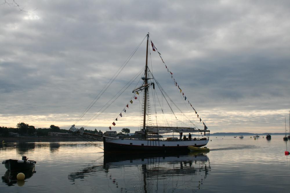
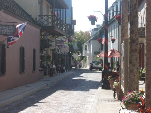
St Andrews Tour Boat
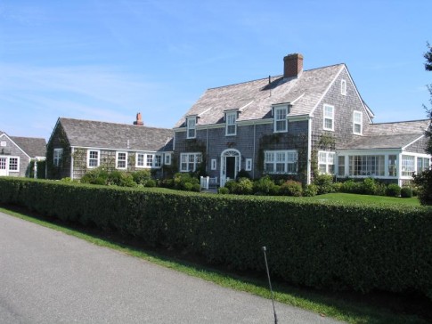
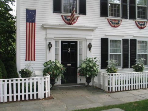
Our original plan was to spend two nights in St Andrews. But the weather never materialized. We enjoyed two sunny warm days where we toured the town, enjoyed the restaurants and historic homes.
Ready to leave, we were told that Customs & Immigration at Eastport were not open on Mondays, so... another night in St Andrews.
25 August
Today we headed out of St Andrews to Eastport, where we check in to the US. And, as usual, a nice coating of fog made it a project. Running down the Western Passage from Passamaquoddy Bay, we enjoyed he following current but were careful to avoid The Old Sow, reputed to be the world's biggest whirlpool. We watched for it, but saw nothing.
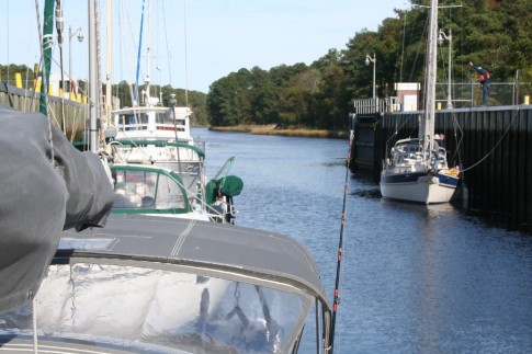
In Eastport, we tied up to the only dock we could find... the main one was being re-built after it collapsed last winter.
Checking in at Eastport is not a very formal process. You tie up (having hoisted our "Q" flag) and seek out the Customs office. Having been here before, we found it in the basement of the post office. Here we went through the formalities with the most friendly Officer we have ever met. Formalities over, he then proceeded to give us a very extensive tour of the town (and glancing at our boat as we passed). Among other things, he guided us to Quoddy Bay Lobster where we were served the very best lobster roll and lobster chowder we have ever tasted... BAR NONE!!!
.jpg)
Hiking on Cross Island
26 August
Yesterday we left Eastport after our excellent lunch and some very needed grocery shopping (there is an excellent bakery in Eastport). As it was late in the day, we just motored into the Head Harbour Passage and into Harbour de Lute, where we found another isolated and sheltered anchorage. Although in Canadian waters, we did not land ashore, so felt we were OK.
The forecast for today was S-E@20-25. This would be a beam to broad reach, so we thought it would be fine. At least better than the next days forecast of winds on the nose. And the wind was about on forecast. But we neglected to consider the impact oc the strong outgoing currents from the Quoddy Narrows, between Campobello Island and mainland USA. Very confused seas... washing machine effect! But past there, except for the drenching rains and fog, a beautiful sail.
By evening we were safely anchored in Cross Island, where we had anchored the month before on our way up.
28 August
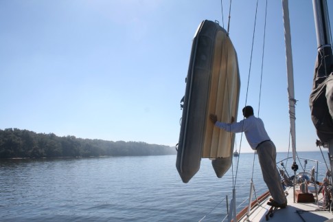
Next morning we took the dinghy ashore. Cross Island is owned by the National Wildlife Refuge. It has a number of poorly maintained trails which we explored. With a hand-held GPS, we managed to avoid getting seriously lost. And about noon, we headed out. Destination for the night was Moose Snare Cove, reported to be not only beautiful but a hurricane hole. Well, it might be, if not for the lobster pots. There was no way we could anchor in the narrow channel with the pots everywhere. But anchored just outside, we took a dinghy ride in and enjoyed the scenery.
Curious House on Foster Is. in Machias Bay
Roque Island
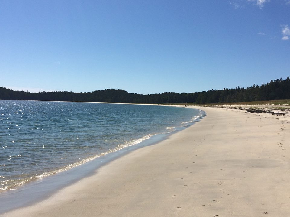
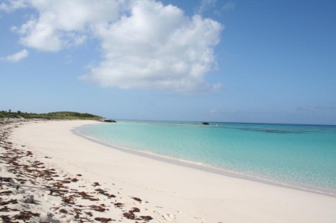
From there, we wandered through the islands of Englishman and Machias Bay. We sailed through Johnson Cove. past Shopee Island, into Shorey Cove on the north side of Roque Island. Rounding the west side of Roque, we entered its beautiful southern harbor where we walked its famous beach. Heading west, we nosed our way through the Thoroughfare and out into Chandler Bay.
The Cow Yard
Rounding Black Head on Head Harbor Island, we began to work through the lobster pots into Head Harbor, and then inside it, into The Cow Yard. Although it looks open to the swell, the cruising guide said it was protected, and with the anchor set, we agreed!
Dinner in The Cow Yard
Anchored, we took the dinghy and ran over to nearby Mistake Island where we stretched our legs. After using the GPS to find our way back (passed the wrong cove) we settled in to a quiet night.
Estelle at anchor in The Mud Hole
August 29
This morning, after a leisurely breakfast, we worked our way out of Head Harbor and in past Mistake Harbor and across Eastern Bay, about 3.5 miles in total, and into The Mud Hole. Just at the mouth we met a single boat exiting. To enter or exit requires half tide at greater to cross a mud bank that crosses the mouth. And at the same time avoiding the large rock in the narrow entrance. Safely in, we anchored and began to fond a place to land in the dinghy. With no natural landing, we searched the rocks until we found a spot where we could scramble up the rocks, leaving the dinghy with a stern anchor to ensure it wouldn't by hanging stranded high on the rocks on our return. With 12' tides, this is essential. Ashore we found the trail and spent the afternoon hiking the trails and rocks of Great Wass Island.
Returning to the dinghy, we were pleased that our mooring system worked and we could ease ourselves down the rocks and back aboard for the night.
Hiking on Great Wass Island
From here, back to the mid-coast area for more cruising.
August 16
We arrived back in Oromocto two days ago to find Estelle safe and well. As it was late in the day, we just unloaded our gear and arranged supper. As we worked, we chatted with the friendly members of the Oromocto Boat Club. Estelle was well taken care of, and we enjoyed the camaraderie of this very friendly club. In the morning we headed out on the standard pre-cruise chores... groceries, wine, etc. One task was re-fill one of our propane tanks. But we found out that it was out of date, so we will have to be careful to conserv out remaining propane. We carry two 10 lb tanks, each of which lasts about a month, so we should be OK as we just switched to the second tank a few days before we arrived here. But we will be careful. In mid-afternoon, I returned our rental car to the airport (5 km from the marina). And in late afternoon we were off down the river.
It was a light wind on the nose, so we just motored, and by early evening we were safely tucked in to Ram Island anchorage where we stayed on our way up. As it was a weekend, we passed up a couple of other anchoring options that were filled with local boats enjoying the nice summer weather, and found ourselves alone in this beautiful spot.
Next morning we had a swim after breakfast and coffee, then set off downriver. We re-traced our steps to Gagetown where we tied up to re-fuel, then another short walk through the town, stopping for fresh vegetables at the farmers market, lunch at the Creekview Restaurant, then off to Colwell Creek. The forecast fresh winds never materialized, and we had another beautiful night in this beautiful anchorage.
Jemseg Creek Entrance
19 August
From Colwell Creek we headed up two miles to the mouth of Jemseg Creek, the entrance to Grand Lake.
Grand Lake is the largest body of water on the Saint John River system. It is about 15 miles long and about 3 miles wide at its widest. And it provides the best chance of sailing on the River. But we motored into a flat calm lake, and headed for its main harbour, Douglas Harbour. The Fredericton Yacht Club maintains an outport club and moorings here, but in mid-week, all was quiet. Ashore we wandered the quiet rural road, and found an excellent combination of gas/diesel/grocery/propane/liquor store next to a small farmers market outlet. All that a cruiser could need!
Back aboard, we headed out into the rising breeze and enjoyed a beautiful sail to the far end of the lake where we pulled into the complete 360 degree protection of Flowers Cove where we anchored for the night.
Entrance Channel, Grand Lake, NB
Next morning we began our descent of the river. In the still morning calm, we motored down the lake and out into the river where we pointed our bow downstream. By noon, a fresh southerly breeze on the nose meant a day of motoring. In the evening we were anchored in Kingston Creek, a small creek off Belleisle Bay. In the hot afternoon we swam to cool off, enjoying the warm fresh water. And I took the opportunity to replace the prop zinc. Another beautiful evening.
Quiet evening on the Saint John River
From here, we motored downstream to an anchorage in Milkish Channel behind Kennebecasis Island. Ashore, we wandered yet more quiet country roads, with the industrial stacks of Saint John just hidden by the island. In the evening we dinghied up Milkish Creek where we watched the locals diving and jumping from the local covered bridge.
Summer fun
Departing Saint John NB
August 24
Our trip from Saint John to St Andrews can best be described with one word..."Fog".
Exiting the river through the Reversing Falls requires some timing. We were heading out at the "Slack After Low" meant waiting for 3 hrs, 50 Min after low tide in the outer harbour. But this is only approximate. If the river level fluctuates, then so does the time of slack. Because the river seemed to be 1' or so low, we decided slack would be about 15 minutes late. Well, we were about right, but not precisely at slack, but made it through with the last of the ebb pushing us on.
Naturally, we were met with fog as we sailed into the cold salt water of the Bay of Fundy.
Fog along Bay of Fundy Coast
As we motored out the harbour channel, we hoisted the main and turned on the radar. Plan for the night was another night in Dipper Harbour where we stopped on our way up.
Heavy Fog on a Spider Web
In the light winds, we sailed in and out of the fog, easily seeing the anchored ships awaiting entry to the port with their AIS signals. And we watched carefully as we watched the radar contacts come and go, sometimes seeing the cruisers passing us heading towards the river.
Groping our way into Dipper Harbour, we watched the huge breakwater materialize when 100' away. Inside the fog lightened enough to work our way between the moored fishing boats, where we grabbed an empty one.
Dipper Harbour
Next morning we headed out of Dipper Harbour again into thick fog. We set a course clear Point Lepreau, where its huge nuclear plant was hidden in the fog. From there we aimed for the entrance to Letang Harbour. I have read a number of accounts about its beauty, so we decided it was worth a stop. One guide assured us that the headlands were sufficiently large that they would be visible in the heaviest fog... Wrong!!
As we approached, I watched the Grand Manan ferry's AIS signal showing them approaching the harbour at the same time. I called the ferry who assured me he saw us both on radar and with our AIS signal. I told him we would wait for him to pass before we entered.
Watching his AIS show him safely at the dock, we began to grope our way in. By the time we were anchored, after three miles of fog, we had seen nothing but a couple of salmon pens showing vaguely in the fog.
So, we can say we have been to Letang Harbour, but we can't say we have seen it!
Next morning we saw the same scene... nothing. So we groped our way out again, then through Bliss Harbour and Letite Passage. Again I called the Deer Island ferry, and we agreed we would let them pass ahead.
Letang Hbr. salmon pens where we spent a night seeing absolutely nothing except this.
Breaking through into Passamaquoddy Bay, the fog finally fell away. We had decided to come into St Andrews both because we enjoy the beautiful town, but also to wait out some heavy (rain & wind) weather.
St Andrews Tour Boat
Our original plan was to spend two nights in St Andrews. But the weather never materialized. We enjoyed two sunny warm days where we toured the town, enjoyed the restaurants and historic homes.
Ready to leave, we were told that Customs & Immigration at Eastport were not open on Mondays, so... another night in St Andrews.
25 August
Today we headed out of St Andrews to Eastport, where we check in to the US. And, as usual, a nice coating of fog made it a project. Running down the Western Passage from Passamaquoddy Bay, we enjoyed he following current but were careful to avoid The Old Sow, reputed to be the world's biggest whirlpool. We watched for it, but saw nothing.
In Eastport, we tied up to the only dock we could find... the main one was being re-built after it collapsed last winter.
Checking in at Eastport is not a very formal process. You tie up (having hoisted our "Q" flag) and seek out the Customs office. Having been here before, we found it in the basement of the post office. Here we went through the formalities with the most friendly Officer we have ever met. Formalities over, he then proceeded to give us a very extensive tour of the town (and glancing at our boat as we passed). Among other things, he guided us to Quoddy Bay Lobster where we were served the very best lobster roll and lobster chowder we have ever tasted... BAR NONE!!!
Hiking on Cross Island
26 August
Yesterday we left Eastport after our excellent lunch and some very needed grocery shopping (there is an excellent bakery in Eastport). As it was late in the day, we just motored into the Head Harbour Passage and into Harbour de Lute, where we found another isolated and sheltered anchorage. Although in Canadian waters, we did not land ashore, so felt we were OK.
The forecast for today was S-E@20-25. This would be a beam to broad reach, so we thought it would be fine. At least better than the next days forecast of winds on the nose. And the wind was about on forecast. But we neglected to consider the impact oc the strong outgoing currents from the Quoddy Narrows, between Campobello Island and mainland USA. Very confused seas... washing machine effect! But past there, except for the drenching rains and fog, a beautiful sail.
By evening we were safely anchored in Cross Island, where we had anchored the month before on our way up.
28 August
Next morning we took the dinghy ashore. Cross Island is owned by the National Wildlife Refuge. It has a number of poorly maintained trails which we explored. With a hand-held GPS, we managed to avoid getting seriously lost. And about noon, we headed out. Destination for the night was Moose Snare Cove, reported to be not only beautiful but a hurricane hole. Well, it might be, if not for the lobster pots. There was no way we could anchor in the narrow channel with the pots everywhere. But anchored just outside, we took a dinghy ride in and enjoyed the scenery.
Curious House on Foster Is. in Machias Bay
Roque Island
From there, we wandered through the islands of Englishman and Machias Bay. We sailed through Johnson Cove. past Shopee Island, into Shorey Cove on the north side of Roque Island. Rounding the west side of Roque, we entered its beautiful southern harbor where we walked its famous beach. Heading west, we nosed our way through the Thoroughfare and out into Chandler Bay.
The Cow Yard
Rounding Black Head on Head Harbor Island, we began to work through the lobster pots into Head Harbor, and then inside it, into The Cow Yard. Although it looks open to the swell, the cruising guide said it was protected, and with the anchor set, we agreed!
Dinner in The Cow Yard
Anchored, we took the dinghy and ran over to nearby Mistake Island where we stretched our legs. After using the GPS to find our way back (passed the wrong cove) we settled in to a quiet night.
Estelle at anchor in The Mud Hole
August 29
This morning, after a leisurely breakfast, we worked our way out of Head Harbor and in past Mistake Harbor and across Eastern Bay, about 3.5 miles in total, and into The Mud Hole. Just at the mouth we met a single boat exiting. To enter or exit requires half tide at greater to cross a mud bank that crosses the mouth. And at the same time avoiding the large rock in the narrow entrance. Safely in, we anchored and began to fond a place to land in the dinghy. With no natural landing, we searched the rocks until we found a spot where we could scramble up the rocks, leaving the dinghy with a stern anchor to ensure it wouldn't by hanging stranded high on the rocks on our return. With 12' tides, this is essential. Ashore we found the trail and spent the afternoon hiking the trails and rocks of Great Wass Island.
Returning to the dinghy, we were pleased that our mooring system worked and we could ease ourselves down the rocks and back aboard for the night.
Hiking on Great Wass Island
From here, back to the mid-coast area for more cruising.
Comments
| Vessel Name: | Estelle |
| Vessel Make/Model: | Bristol 41.1 |
| Hailing Port: | Charlottetown, PEI |
| Crew: | Jeannie & Jim Lea |
| About: | |
| Extra: | After cruising the east coast of North America for 10 years, from Nova Scotia to Panama, it's time for a change. Estelle will be cruising the coast of British Columbia and Alaska beginning in 2017. |
Estelle's Photos - The Voyage of S/V Estelle (Main)
 |
Cruise to Desolation Sound and the Broughtons, British Columbia
81 Photos
Created 26 September 2020
|
 |
From Pender Harbour to Sidney, July 20-26
18 Photos
Created 4 February 2020
|
 |
|
|
 |
 |
 |
Our cruise of the Gulf Islands and San Juan Islands in May & June, 2017
84 Photos
Created 21 July 2017
|
 |
Our first BC cruise, from Pender Harbour to Strait Marine in Steveston BC
26 Photos
Created 27 April 2017
|
|
|
|
Our first year cruising... Exumas, Bahamas.
11 Photos
Created 28 July 2015
|
|
|
 |
 |
 |
 |
 |
 |
 |
 |
Pics of our trip from Mount Desert Islans to the Saint John River in July 2014.
64 Photos
Created 14 August 2014
|
 |
 |
 |
 |
 |
 |
 |
 |
 |
 |
 |
 |
 |
 |
 |
 |
 |
 |
 |
 |
 |
 |
 |
 |
 |
 |
 |
 |
 |
 |
 |
 |
 |
 |
 |
 |
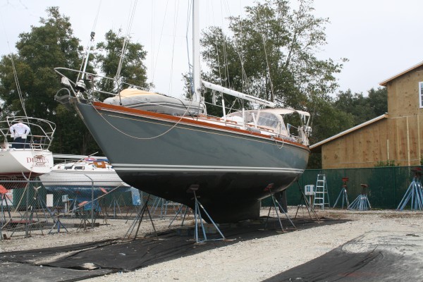
Some photos at John Williams Boatyard as we prepare for departure.
7 Photos
Created 14 September 2010
|
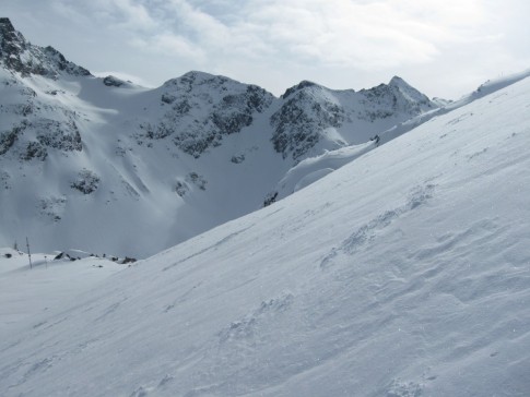 |
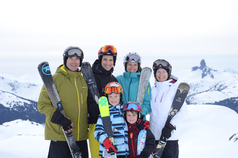
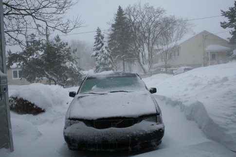
Our trip to various BC ski resorts Jan-Feb 2010
69 Photos
Created 7 February 2010
|
 |
 |
Our trip from Norfolk Va to Mount Desert Island, June 20th to July 7th, 2009. Gerard Watts aboard as crew!
89 Photos
Created 8 July 2009
|
 |
 |
 |
 |
 |
 |
 |
 |
 |
 |
Trip south from Maine to Bahamas, Sept-Dec 2007
42 Photos
Created 26 December 2007
|
 |
 |
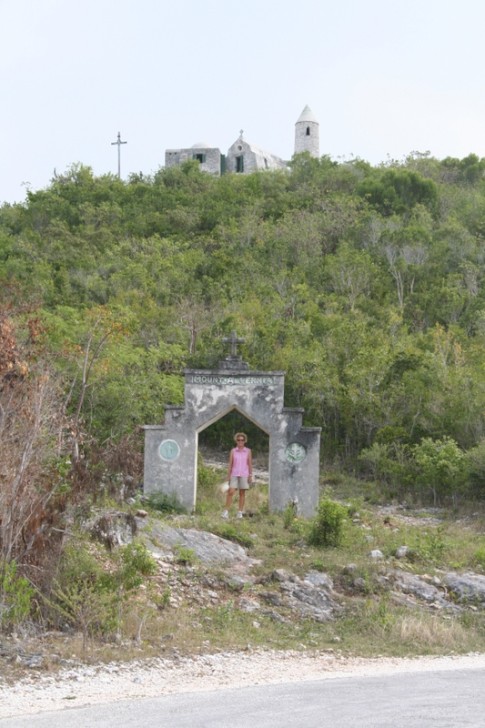 |
These are pictures of The Hermitage on Cat Island, Bahamas. It was built single-handedly by Faather Jerome who was sent out by the Church of England to rebuild churches destroyed in the hurricanes in the early 20th century. He then converted to catholicism and built a number of Roman Catholic churches until he sought and received permission to build this hermitage where he spent the remainder of his life.
10 Photos | 1 Sub-Album
Created 24 June 2007
|
 |
 |
 |
 |
These pictures were taken while on Long Island, Bahamas, in February, 2007
6 Photos
Created 11 March 2007
|
 |
This album contains some photos of our time in the Jumentos Islands, in the Bahamas
11 Photos
Created 11 March 2007
|
 |
 |
 |
 |
 |
 |
 |
 |
 |
 |
Estelle Profile
Who: Jeannie & Jim Lea
Port: Charlottetown, PEI
Gallery
SailBlogs Friends