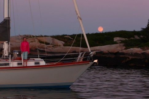
The Voyage of S/V Estelle
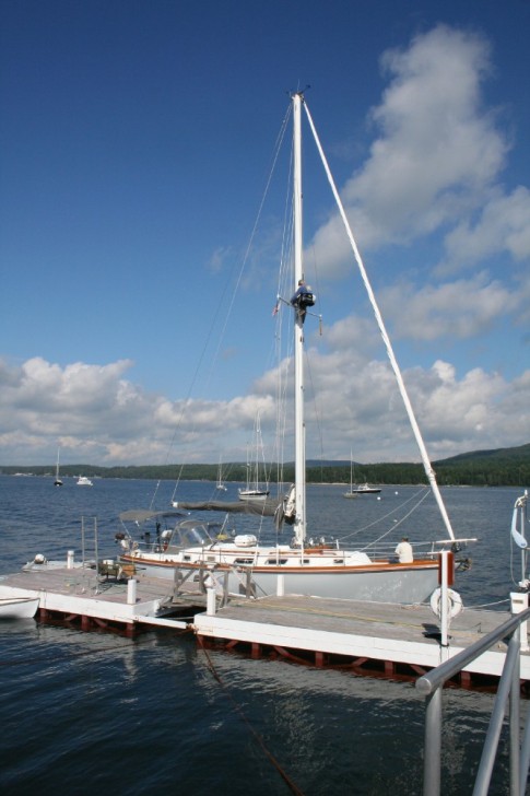
Cruising the British Columbia Coast
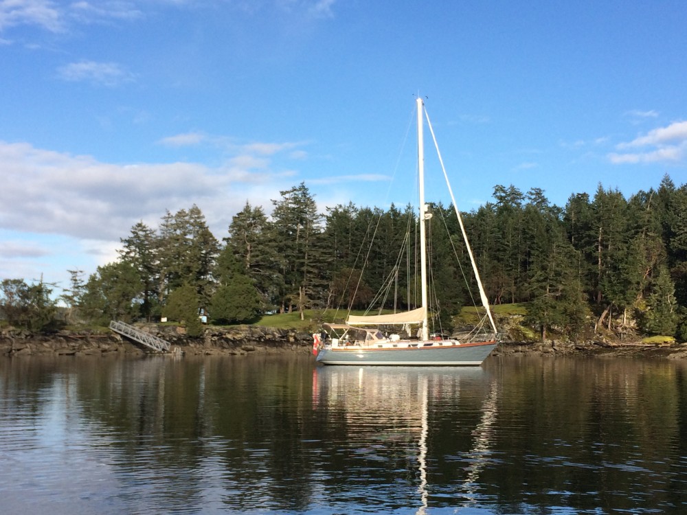
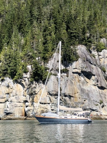
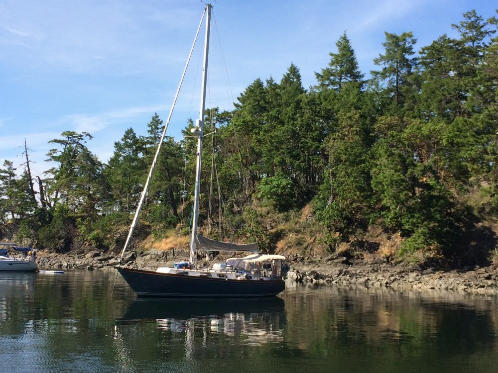
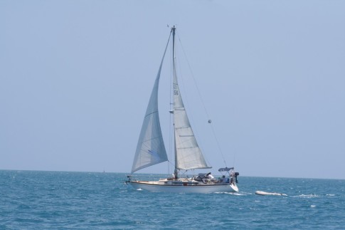
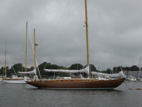
Estelle Profile
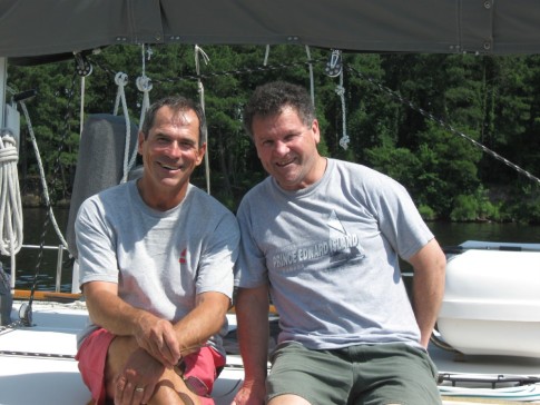
Who: Jeannie & Jim Lea
Port: Charlottetown, PEI
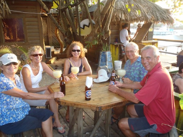
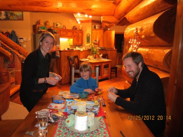
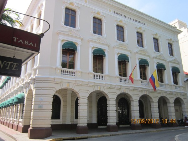
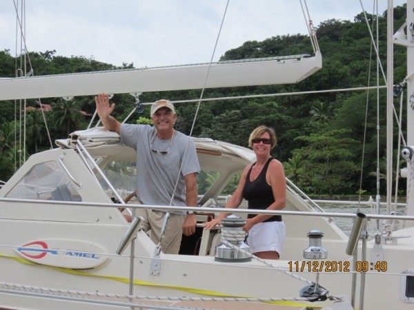
Gallery


SailBlogs Friends


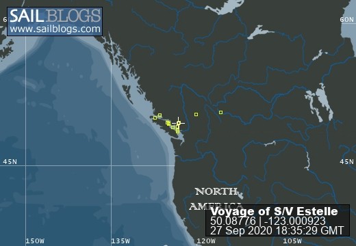
27 September 2020
26 September 2020
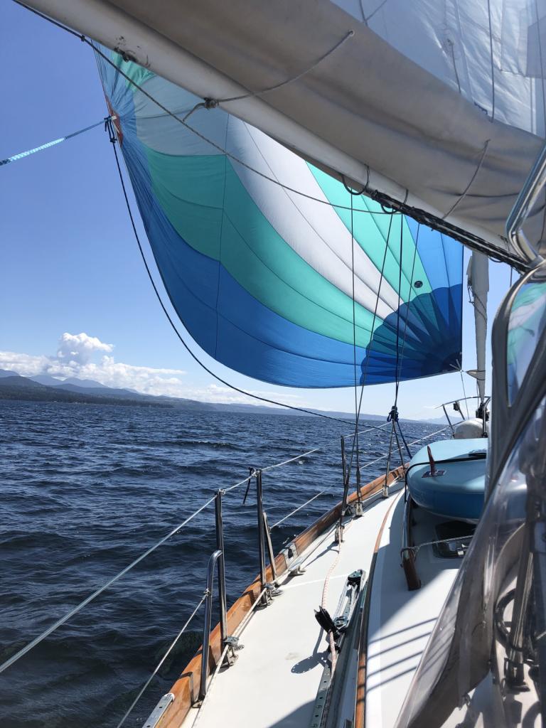
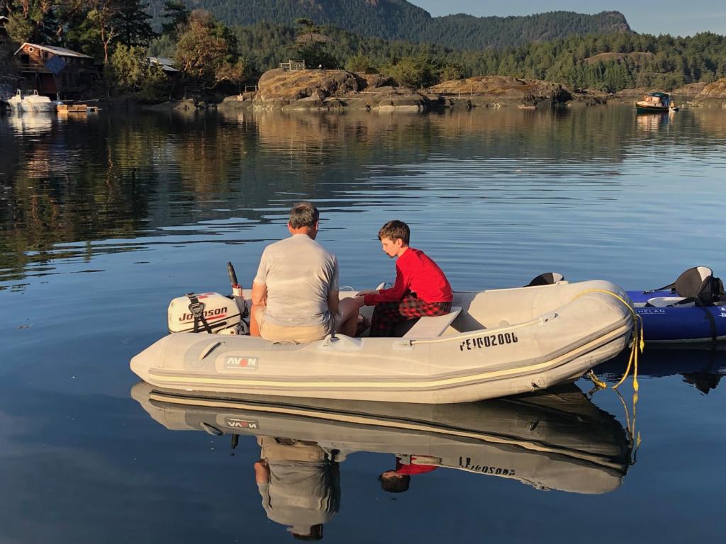
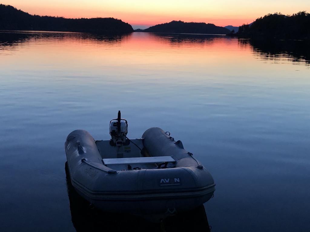
26 September 2020 | The Broughtons
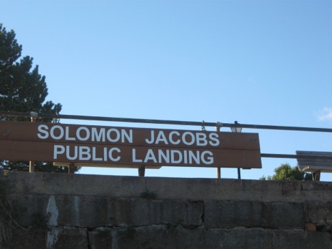
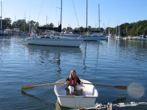
26 September 2020 | Vancouver Rowing Club
07 February 2020
03 February 2020 | Northern Georgia Strait
30 September 2018 | Vancouver Rowing Club
10 September 2018 | The Laughing Oyster, Okeover Landing
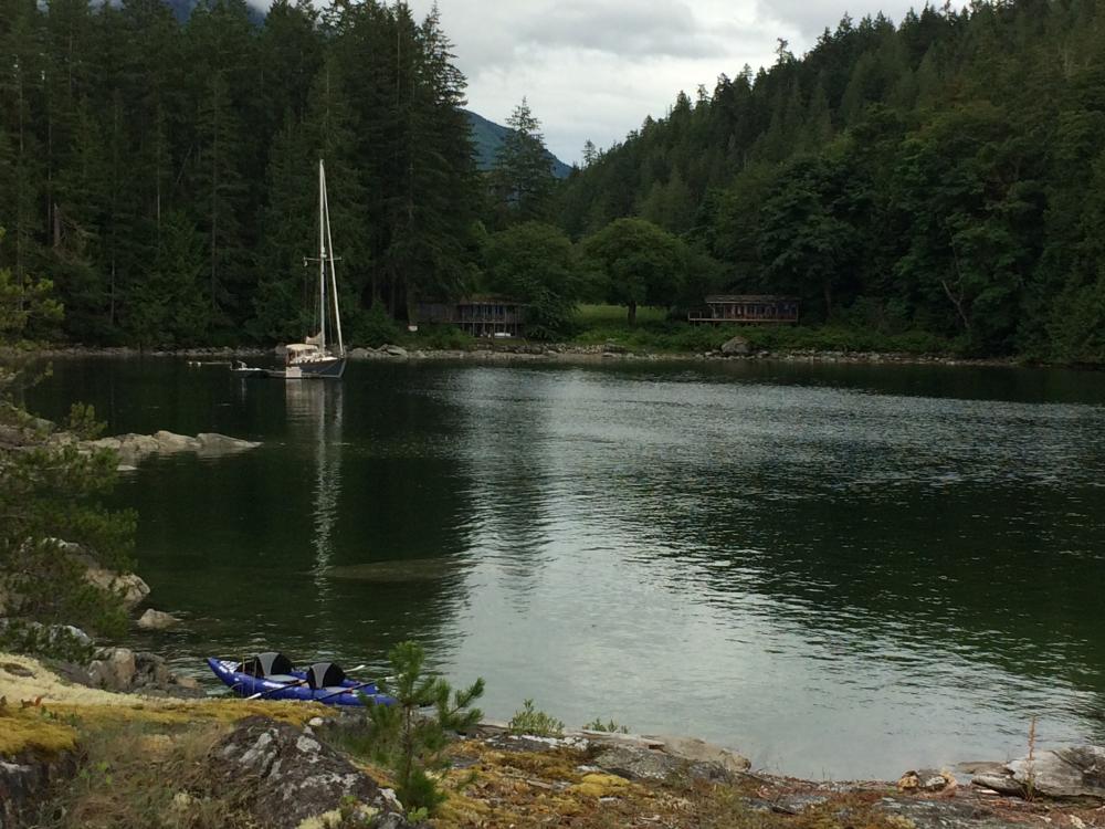
08 September 2018 | Von Donop Inlet, Desolation Sound
08 September 2018 | Port McNeill, BC
08 September 2018 | Port McNeill, BC
16 August 2018
16 August 2018 | Turnbull Cove, BC
15 August 2018 | Pierre's Echo Bay Resort
15 August 2018 | Kwatsi Bay Marina, The Broughtons
15 August 2018 | Potts Lagoon, West Cracroft Island, BC
05 August 2018 | Kwatsi Bay
01 August 2018 | Big Bay
01 August 2018 | Von Donop Inlet
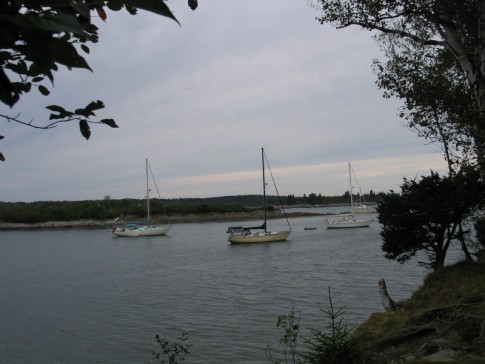
27 July 2018 | Lancelot Inlet, Desolation Sound Marine Park
Off and away to the US of A!
20 April 2009 | Yucatan Channel
Sunny, Air Temp 83F, Water Temp 81F, Wind ESE@10
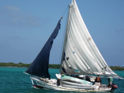
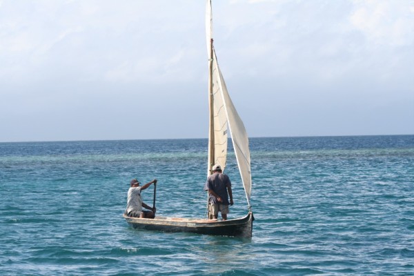
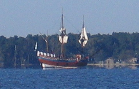
Belezian Fishing Boat off Cay Caulker
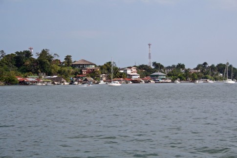
Well, we left Isla Mujeres this morning at 0500 hrs in the dark, the first boat out of the anchorage. A first for us. We were followed closely by Seabird.
Exiting Isla Mujeres required us to run down a short narrow channel that was well lit, then down through the harbor where we turned west at what is supposed to be a lighted mark. We wove our way down the harbor between the anchored boats and all was well except for two boats anchored right in the channel and showing no anchor lights. But we had our hi-power spotlight out and were able to see them and avoid them.
Then we began to look for the first red mark. Its light was out too, and we spotted it when we were only a couple of boat lengths from it, so safely avoided it. Safely out of the harbor, we headed north to clear the northern tip of the island, then onto our course for Key West.
Our plan was to leave yesterday, but the wind didn't cooperate. It stayed strong and out of the east, keeping us and all the others fussing in the harbor. The problem is that this weather window lasts only until some time Wednesday. There is a weak cold front approaching, and with its approach the winds will clock (shift in a clock-wise direction) from the SE to South then west and north-west before resuming the normal north-east direction. And we want to be in before they return to the north-east, late Wednesday. But if the winds hold strong enough, we'll be OK.
At the moment they're too light for sailing, so we're motor-sailing, and we may be doing quite a bit of it on this trip, as the forecast is for light winds until they go north-west on Wednesday. But we have lots of fuel, so that part is OK, its just a bit noisy. But life could be worse!
Today's project is to maximize the benifit and minimize the negatives of the gulf stream as we sail ease. It runs north at 2.5 knots past Isla Mujeres and continues north about 250 miles into the Gulf of Mexico. Then it does a U-turn and runs south, hitting the Cuban coast and resuming its eastward route. Our route is north-east, so we got a boost from its northward pull, but we don't to get swept too far north, so we have to time it to exit and runn across the bottom of an eddy that the horseshoe run creates, then pick it up again when it heads east.
We got a set of waypoints from Chris Parker that should help us, and we just left the northward current and are trying to find the eddy to "sling-shot us across the bottom. The difference between finding the current and not, or worse, finding a counter-current could be up to 12 hours, so we'll take some time to make sure we find it.
Comments
| Vessel Name: | Estelle |
| Vessel Make/Model: | Bristol 41.1 |
| Hailing Port: | Charlottetown, PEI |
| Crew: | Jeannie & Jim Lea |
| About: | |
| Extra: | After cruising the east coast of North America for 10 years, from Nova Scotia to Panama, it's time for a change. Estelle will be cruising the coast of British Columbia and Alaska beginning in 2017. |
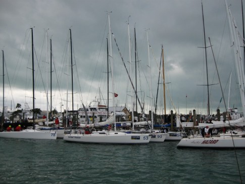
Estelle's Photos - The Voyage of S/V Estelle (Main)
 |
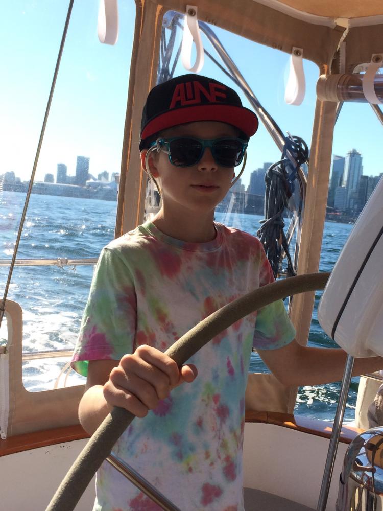
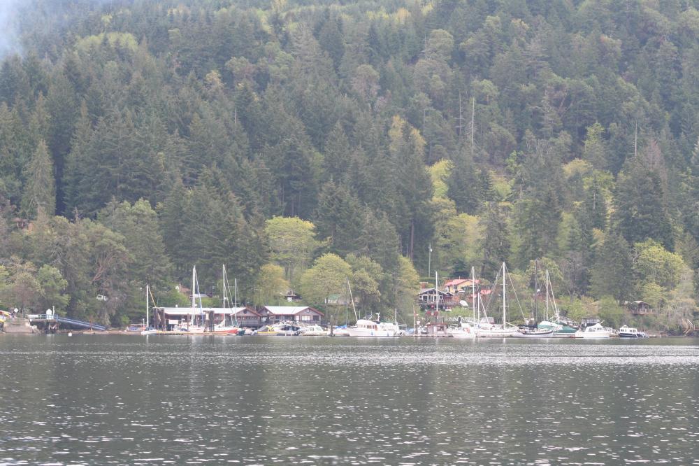
Cruise to Desolation Sound and the Broughtons, British Columbia
81 Photos
Created 26 September 2020
|
 |
From Pender Harbour to Sidney, July 20-26
18 Photos
Created 4 February 2020
|
 |
 |
|
 |
 |
 |
Our cruise of the Gulf Islands and San Juan Islands in May & June, 2017
84 Photos
Created 21 July 2017
|
 |
Our first BC cruise, from Pender Harbour to Strait Marine in Steveston BC
26 Photos
Created 27 April 2017
|
|
|
|
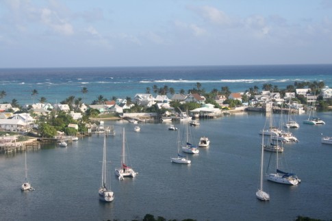
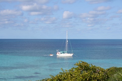
Our first year cruising... Exumas, Bahamas.
11 Photos
Created 28 July 2015
|
|
|
 |
 |
 |
 |
 |
 |
 |
 |
Pics of our trip from Mount Desert Islans to the Saint John River in July 2014.
64 Photos
Created 14 August 2014
|
 |
 |
 |
 |
 |
 |
 |
 |
 |
 |
 |
 |
 |
 |
 |
 |
 |
 |
 |
 |
 |
 |
 |
 |
 |
 |
 |
 |
 |
 |
 |
 |
 |
 |
 |
 |
Some photos at John Williams Boatyard as we prepare for departure.
7 Photos
Created 14 September 2010
|
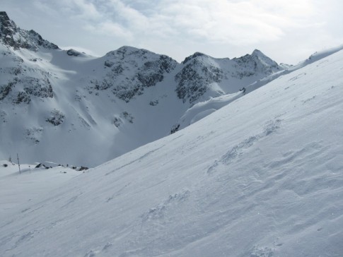 |
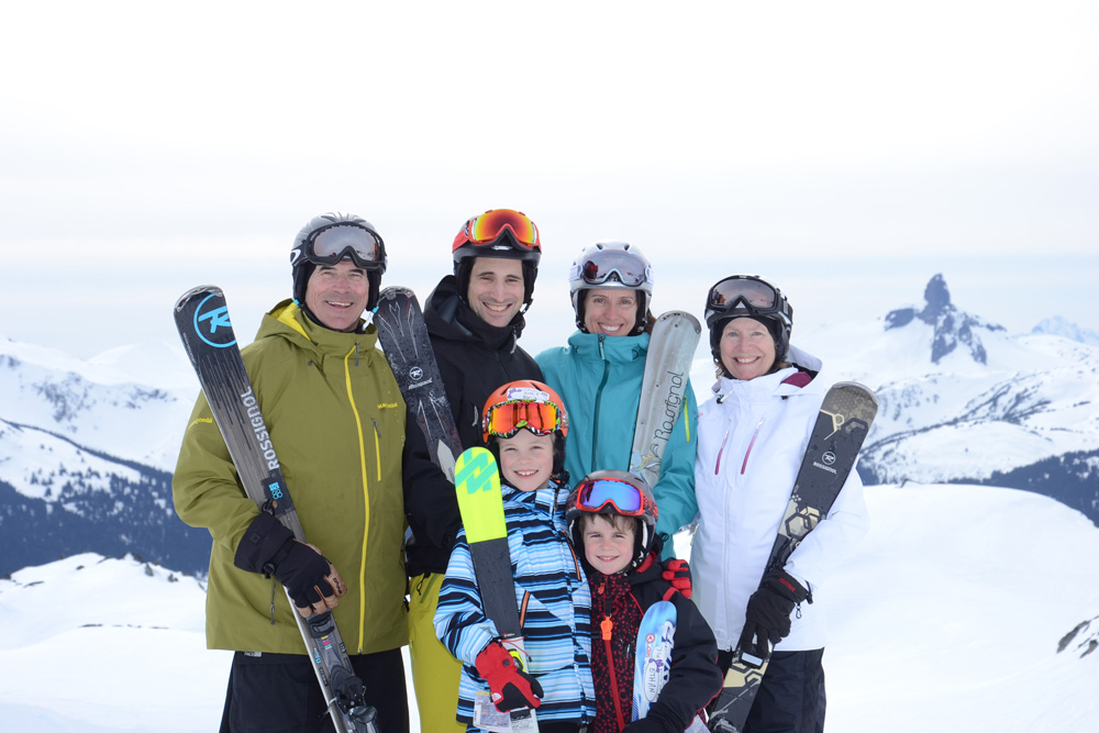
Our trip to various BC ski resorts Jan-Feb 2010
69 Photos
Created 7 February 2010
|
 |
 |
Our trip from Norfolk Va to Mount Desert Island, June 20th to July 7th, 2009. Gerard Watts aboard as crew!
89 Photos
Created 8 July 2009
|
 |
 |
 |
 |
 |
 |
 |
 |
 |
 |
Trip south from Maine to Bahamas, Sept-Dec 2007
42 Photos
Created 26 December 2007
|
 |
 |
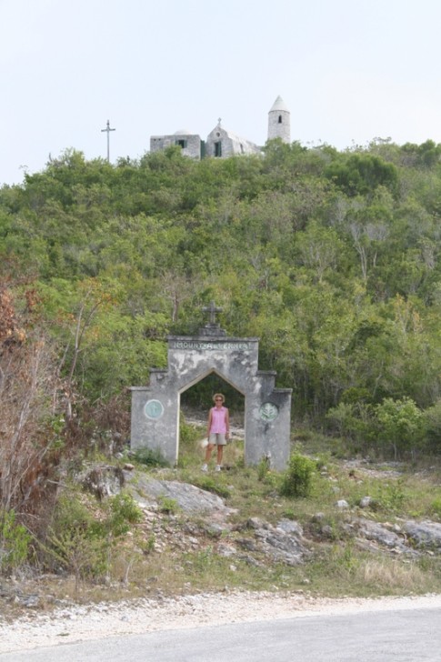 |
These are pictures of The Hermitage on Cat Island, Bahamas. It was built single-handedly by Faather Jerome who was sent out by the Church of England to rebuild churches destroyed in the hurricanes in the early 20th century. He then converted to catholicism and built a number of Roman Catholic churches until he sought and received permission to build this hermitage where he spent the remainder of his life.
10 Photos | 1 Sub-Album
Created 24 June 2007
|
 |
 |
 |
 |
These pictures were taken while on Long Island, Bahamas, in February, 2007
6 Photos
Created 11 March 2007
|
 |
This album contains some photos of our time in the Jumentos Islands, in the Bahamas
11 Photos
Created 11 March 2007
|
 |
 |
 |
 |
 |
 |
 |
 |
 |
 |
Estelle Profile
Who: Jeannie & Jim Lea
Port: Charlottetown, PEI
Gallery
SailBlogs Friends