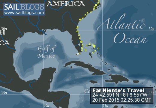
s/v Far Niente - Cruising Log
Spring 2015 - The Florida Keys
12 June 2015 | Lady's Island, SC
11 March 2015 | Marathon, FL
19 February 2015 | Marathon, FL
09 January 2015 | Vaca Key - Marathon, FL
10 December 2014 | West Palm Beach, FL
01 December 2014 | West Palm Beach
20 November 2014 | West Palm Beach, FL
05 October 2014 | Port Royal, SC
24 February 2014
17 February 2014 | South Carolina
01 June 2013 | Port Royal Landing Marina
16 May 2013 | Anchored Cocoa, FL
26 April 2013 | Marathon, FL
21 December 2012 | Harbour Cay Club, Marathon, FL
07 December 2012 | Mooring #30, St. Augustine Municipal Marina
31 August 2012 | Dataw Island Marina, SC
13 June 2012 | Conch House Marina, St. Augustine, FL
08 June 2012 | New Smyrna Beach, FL
03 June 2012 | Harbour Isle Marina, Ft. Pierce, FL, USA
29 May 2012 | Old Bahama Bay Marina at West End
Plan "B"
13 June 2012 | Conch House Marina, St. Augustine, FL
Jeff

PHOTO ABOVE: Graphical shot of our course over 45 minutes waiting for a serious T-storm to blow through. Though not shown on the chart, the Conch House Marina is on the eastern side and our final location is on a T-head at the end of "C" dock.
Leg Details
Time: 8:49
Distance: 62.4 nm
What was plan "A"?
We were heading straight for Port Royal, SC from New Smyrna Beach, FL, a trip of about 200 nm and some 36 hours +/-. We exited the Ponce inlet in what can only be described as very benign weather conditions on an out going tide and still had a bit of excitement with 4+' ocean swells out of the southeast colliding with tidal flow. After this experience, I don't think we'd tackle this inlet except under anything other than perfect weather conditions.
Once out in the Atlantic we had 10-15 kt winds out of the SE and 2-4' swells with an 8 second period. We motored sailed and the combination help push us north at an average speed of 8 knots.
About 3:30, 6 nm south of St. Augustine the USCG issued a severe marine weather alert for waters just north of St. Augustine, including the possibility of water spouts. Both the on board radar and NWS radar images we could pull down off the 3G network showed a major line of thunderstorms from St. Augustine to GA-SC border. This is where Plan "B" was born.
The first challenge was entering the St. Augustine inlet. Experienced FL boaters know there are NO CHARTS for this inlet because it constantly changes and the marks get moved all the time. We were aware that there was a major dredging project underway to make the entry channel out into the Atlantic deeper. Thank God for that.
I called TOWBOAT US and sought the most up to date information on the channel and the marks. We were lucky as we were on a rising tide with the wind out of the SE. From a distance of a few miles the dredge was readily identifiable and it help immensely in locating the channel. Adhering to the advice given by the TOWBOAT US captain, we followed the red marks in without incident. As we cleared the channel the thunderstorm marched toward us. We needed somewhere to 'park' fast.
My first call was to the St. Augustine City Marina to see of any moorings north of the Lions Lift Bridge would be appropriate for a 45' sailboat drawing 5'. Nothing was available. Next I called Conch House Marina which lies just south of the inlet. The channel to the marina is well marked, when you can see it. My radio conversation with the marina office was oh so typical.
"We are going to put you in slip C-8." Great. Where in the %^*& is slip C-8? Next the wind and rain came, hard. Visibility dropped dramatically. Then the lightning. Conch House radioed me back to say they called the dock hand back into the office as he could not assist our docking with lightning striking in the immediate area. At this point I could barely see the marina, little alone the mysterious slip C-8. Where to go now? The chart indicated some water that could accommodate our 5' draft east and south of the marina proper.
Suddenly a radio transmission from the vessel 'Gale Force' who was docked at the Conch House Marina. Captain Tom could just barley see us standing on his fly bridge even though we were less than 100 yards away. Most importantly, Tom knew the waters out in front of the marina and gave us detailed information on where we could go to ride out the storm without running aground, hitting a mooring or old pilings. His local knowledge and counsel was invaluable. Our thanks go out to Captain Tom on 'Gale Force'.
We did figures 8's (as the chart above shows) for about 40 minutes in driving rain, 25-35 kt wind and lightning. Then a break in the storm and a call back from the Conch House Marina. Conch House changed the slip assignment and gave us a T-Head dock right off the area where we rode out the storm. About 4:30 pm we were tied off.
That was Plan "B".
Weather continues not to cooperate with our plans to head north. Yesterday's off shore weather was very accommodating for our planned trip and conditions are changing rapidly and off shore winds are forecaste to clock around to the NE and increase in velocity over the next several days. Seas 4-6'. Our planned course to the Port Royal channel is basically NE. As they say, "Gentlemen don't sail to windward."
Time to work on an ICW plan to move north at least until off shore winds clock back east and south again.
Comments
| Vessel Name: | formerly - Far Niente |
| Vessel Make/Model: | formerly - Island Packet 45 (#33) |
| Hailing Port: | Beaufort, SC |
| Crew: | Marjorie and Jeff Graham |
| About: | CRUISERS June 2010 to May 2015. |
formerly - Far Niente's Photos - Main
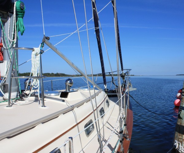 |
A collection of photos taken along the way as we made our way from the Chesapeake to South Carolina
17 Photos
Created 9 November 2011
|
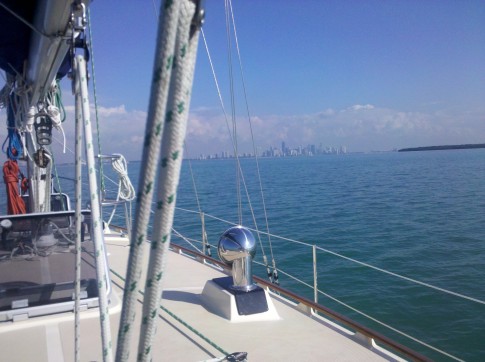 |
Photos of the various places we are stopping as we make our way back north for summer 2011.
3 Photos
Created 28 April 2011
|
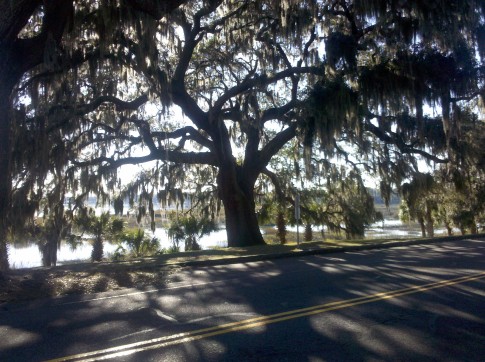 |
First batch of pix from our stay in Beaufort and a few from our previous stop, Charleston. Maybe the 2 best stops the entire journey.
18 Photos
Created 2 December 2010
|
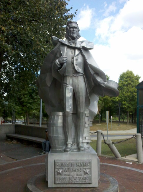 |
A selection of photos from our stay in Troy and Catskill, NY including stepping our mast.
18 Photos
Created 10 September 2010
|
 |
A couple of pictures of our ongoing excellent dining experience and the Credit Village Marina we are staying at
10 Photos
Created 11 August 2010
|
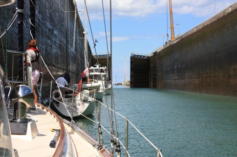 |
Pictures from our transit of the Welland Canal, down bound from Lake Erie to Lake Ontario
11 Photos
Created 9 August 2010
|
 |
Collection of photos from June 22 to July 17 from our travels around Charlevoix, Beaver Island and Mackinaw.
17 Photos
Created 18 July 2010
|
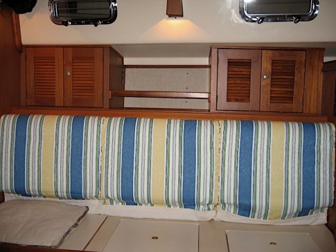 |
A few photos of some of the things we changed/added to Far Niente in the summer of 2009.
3 Photos
Created 3 April 2010
|
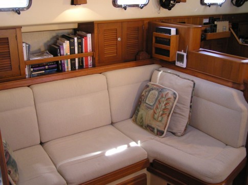 |
Interior photos for friends and family who have not been aboard....YET!
18 Photos
Created 22 February 2010
|
It's been a lovely cruise.....
Who: Marjorie and Jeff Graham
Port: Beaufort, SC
