
Pacific Odyssey 2010/2011
Follow the Larsens from Seattle to Australia and back.
14 February 2011
16 November 2010 | Australia
14 November 2010 | Ballina, NSW
10 November 2010 | Scarborough, QLD
02 November 2010
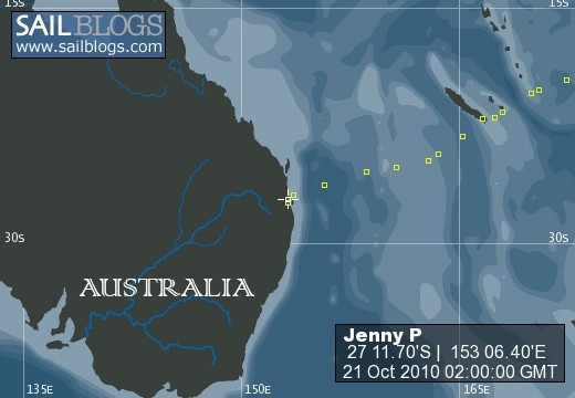
22 October 2010 | Brisbane
16 October 2010
15 October 2010
14 October 2010
08 October 2010 | Vanuatu
01 October 2010 | Noumea, New Caledonia
28 September 2010
28 September 2010
26 September 2010
25 September 2010
23 September 2010
21 September 2010 | Lautoka
19 September 2010
18 September 2010 | Musket Cove, Fiji
16 September 2010
Rhumb line to Samoa
13 July 2010
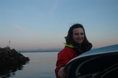
Christine
You can't always sail the rhumb line to your next destination. Some passages are so long (example Hilo to Samoa 2200 miles) they pass through a few different weather systems. Keeping the wind at the right angle for sailing toward the goal sometimes means sailing in a different direction for a bit. That was the case for us as we traveled South these past few days to get through the ITCZ as efficiently as possible. We finally broke through yesterday morning; the sky had cleared, the wind shifted to a nice 10-15 kts from SE, and the swells began appearing from the SE as well.. thank heavens for the trade winds again. We had to continue South in order to squeak between Fanning Atoll to starboard and Christmas Island to port (both part of the Line Islands group of Kiribati (pronounced Kiribas). Now that we are through the gauntlet, we have altered course on a final rhumbline to Samoa. Just 1245 miles to go in a more or less straight line.
We did not stop to chat with the good folks of Fanning and Christmas largely because we do not have the proper paper charts for those islands and navigating the entrance to their lagoons is tricky. We sail with a Garmin Chartplotter which gives us electronic versions of the places we want to go, and then we have back up paper charts for desk reference, safety and sometimes more info. I am very disappointed to find that our electronic descriptions of the features of these two islands is very sparce, indeed not adequate for navigation purposes. I hope that is not the case for the rest of the Pacific we intend to visit.
I have paper charts to carry us from here to Samoa in general, but I wasn't able to collect every chart for the region. We had to make some guesses as to which harbors and anchorages we would visit. Charts cost approximately $20-25/per and one can easily spend $3,000 on charts for a relatively small area of this vast ocean. Had to draw the line somewhere. But speaking of charts, the US governmental agency that currently manages the data collection and printing of the US nautical charts is closing shop. This has been happening for sometime now, but they are clearly shutting down operations. Any chart supplier doing less than $5,000 per year in chart business can no longer obtain new charts to sell. Armchair Sailor in Seattle is able to sell reproductions of charts because they thought ahead and scanned most of them. They can't get original charts for some parts of the world anymore. That is why we were unable to purchase a Palmyra chart from anywhere in the entire Hawaiian Islands.
Charts can still be obtained from the British Admiralty, New Zealand, Australia and France, but the cost is much higher per chart (sometimes double.) For much of the South Pacific I ordered directly from a chart dealer in NZ (Boatbooks in Auckland) and for the Australian Coast I also bought directly from a dealer in Sydney (Boatbooks in Sydney). I also had trouble in the US buying courtesy flags for the countries we intend to visit. Boats must fly the country ensign off the starboard spreader as it enters a country's waters, meanwhile the home port flag ("Old Glory" for us) flies off the stern rail. These days, some people find the notion quaint and don't take the trouble, but we have heard that a few countries will fine you if you do not fly their flag. I had to order the flags from Boatbooks, NZ as well.
Not sure what the future of US charts is; I've been told the government is looking for a private buyer to take over the printing and distribution, but whether they'll be able to keep up the data collection is another story. Meanwhile, if you are planning a trip anytime soon, buy your charts now.
If you've been following our points on the map, it looks like we are halfway there - miles wise we are close, speed wise is always another matter. However, we estimate that we'll be in port another 10 days from now. We can see the finish line.
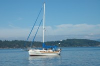
| Vessel Name: | Jenny P |
| Vessel Make/Model: | Hans Christian 33T |
| Hailing Port: | Seattle, Washington |
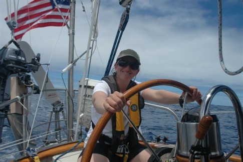
| Crew: | Eric, Christine and family |
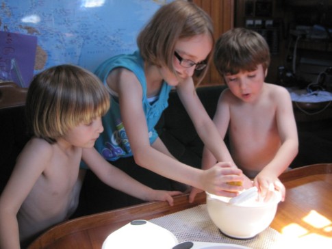
| About: | Sophie 10 Finn 7 Freya 5 |
| Extra: | After sailing in the Pacific Northwest for 10 years, we are preparing to sail to the South Pacific |
Jenny P's Photos - Main
 |
 |
 |
 |
 |
 |
 |
 |
 |
 |
 |
 |
 |
 |
 |
 |
 |
 |
Who: Eric, Christine and family
Port: Seattle, Washington
Gallery


Favorites
No Links Added Yet