
Pacific Odyssey 2010/2011
Follow the Larsens from Seattle to Australia and back.
14 February 2011
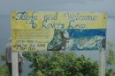
16 November 2010 | Australia
14 November 2010 | Ballina, NSW
10 November 2010 | Scarborough, QLD
02 November 2010
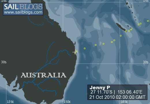
22 October 2010 | Brisbane
16 October 2010
15 October 2010
14 October 2010
08 October 2010 | Vanuatu
01 October 2010 | Noumea, New Caledonia
28 September 2010
28 September 2010
26 September 2010
25 September 2010
23 September 2010
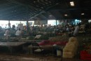
21 September 2010 | Lautoka
19 September 2010
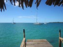
18 September 2010 | Musket Cove, Fiji
16 September 2010
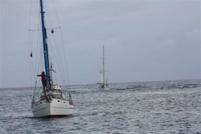
Entering Asau Bay
31 July 2010
Eric
We plotted a 66 nm trip to Asau, Savai'i. As this would take about 12 hours with typical boat speed, and there is about 12 hours of good daylight in our tropical days, we could leave at first light and race to get into a tricky harbor before the sun began to set, or we could leave in the late afternoon, sail slowly, and arrive once the sun was up: we choose the latter. Alvah Simon of Roger Henry had the same plan. John Neal and his crew on Mahina Tiarre were in another anchorage on Savai'i, but planned to arrive in Asau at the same time because Sale, the proprietor of a local resort had offered to meet us and guide us in the channel.
The entrance to Asau is tricky. There is rusting fishing boat on the reef to the west, and just two months ago a sailboat from Seattle was lost entering this harbor. Its 22.5 meter mast rests along a boardwalk at the resort. The report is that they did not use enough power entering, and the west setting current pushed them onto the reef. The narrow channel dredged many years ago cuts from northwest to southeast through the breakers, but despite what is indicated on the charts it is not well marked nor easy to see from outside the reef. Reports of typhoons changing the rock configurations in the channel made the range suspect. The chart also indicated tidal rips in the channel. We backed up our navigational aids with Google Earth photos from 2010, which showed the channel depth clearly. While the image is helpful, the coordinates were not reliable.
We reached the channel entrance after a bumpy night sail. The weather was unsettled, with winds around 25 knots. Sale waited for us in the channel in his aluminum skiff. Our three boats along with a catamaran we saw in Apia, Two Oceans, lined up to enter following the guide. Mahina Tiare first, our Jenny P next, Roger Henry, then Two Oceans. Mahina Tiarre started in slowly, then gunned their engines through the pass. They appeared to pass without a hitch, so we followed. I had Christine standing on the "sissy rails" by the mast looking for the reef and Sophie calling out the depth so that I could keep my eyes on my guide. All started well with Sophie calling out 25+ foot depths. I kept the throttle high to counter the swirling water. Suddenly, Sophie called a depth of 1.9. My heart raced and I braced for a bump. The depth sounder measures the depth under the boat: we need 6 feet in total, 3 feet under the hull for the keel. Sophie then called out 2.0, but I didn't feel a bump. A wave picked us up, I pushed the throttle fully forward and hoped to be set back in the channel and not on the reef. No bump came, and Sophie called out 28 feet. A few seconds more and we were through the dangerous part of the channel. I wondered if I had crossed a sandbar and just didn't feel it, I could only think that the swirling water had somehow kept me off the bottom. I radioed to Alvah and warned him that I had gotten shallow: he responded that he would stay east of my track. Alvah passed through without incident. John told me that he had suddenly seen only 2 feet under his keel, so we both considered ourselves lucky. We were all concerned about how our luck would hold exiting the channel though.
The next day John, Amanda and Alvah took a dinghy, GPS, and depth sounder into the channel and snorkeled it. After three passed they could not find anything shallower than 25 feet while staying on the range, so we have a safe strategy for getting back out of here. John is going back today to take some GPS coordinates of the range for Sale, which should increase the safety for future visitors.
So what did we see coming in? While it seems strange that two of us would have an anomaly with our depth sounders, there are a couple of possible explanations. Thermalclines, or sudden changes in water temperature are common and can throw off depth sounders. (Submarines look for strong thermalclines to hide in.) The locals also warned us of a 5 meter tiger shark that sometime hangs out in the channel current. That, or a school of fish could have thrown off our tranducer. At 1.9 or 2.0 feet, we should have grounded, so I think we were in the channel, but had a sounding error. On our electronic chart, we sailed over the western reef. This was not particularly concerning, because charts here in the pacific are not as accurate as in the States, and quarter mile error in charts is not uncommon. Experiences like this remind us why we do not enter at night.
We will relax here in this beautiful bay for a few days, and leave early some morning, when the winds should be light and the visibility good.
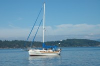
| Vessel Name: | Jenny P |
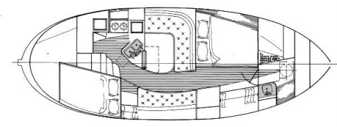
| Vessel Make/Model: | Hans Christian 33T |
| Hailing Port: | Seattle, Washington |
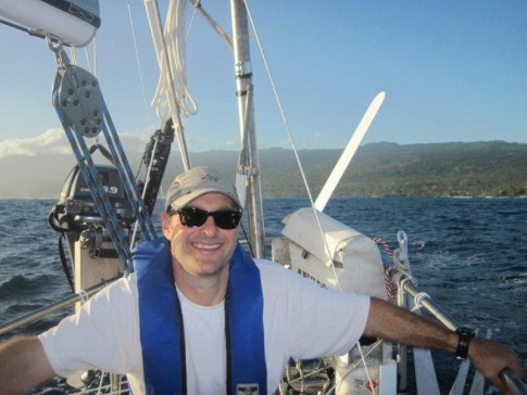
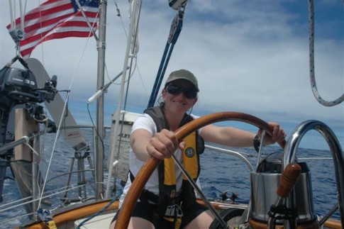
| Crew: | Eric, Christine and family |
| About: | Sophie 10 Finn 7 Freya 5 |
| Extra: | After sailing in the Pacific Northwest for 10 years, we are preparing to sail to the South Pacific |
Jenny P's Photos - Main
 |
 |
 |
 |
 |
 |
 |
 |
 |
 |
 |
 |
 |
 |
 |
 |
 |
 |
Who: Eric, Christine and family
Port: Seattle, Washington
Gallery


Favorites
No Links Added Yet