Cruising on Just Lucky
The travels of the sailboat Just Lucky and the able crew
16 February 2023
16 February 2023
16 February 2023
12 February 2023
12 February 2023
12 February 2023
12 February 2023
21 January 2023
11 January 2023
02 April 2022
02 April 2022
02 April 2022
30 March 2022
30 March 2022
30 March 2022 | Above Ensenada Grande
28 January 2022
17 December 2021
17 December 2021
17 December 2021
16 December 2021
Meyers Chuck – Frosty Bay 7/31/ - 8/1/2017
30 August 2017 | Meyers Chuck - Frosty Bay
Ron
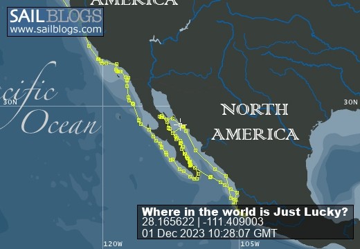
Our route and current location: [Note - I forgot to turn on tracking for a while - the track is discontinuous but does pick up later]
https://share.garmin.com/RonRisden
For those following along at home - and at work - the Sail Blog app is just a straight line, giving our anchored locations - where we end for the day. The Garmin track linked above, which starts in Powell River, gives a fairly continuous track of our travels; showing the ins and outs (and backtracking) we are doing. Also you will notice that the dates of the writing may seem a little off. Entries get written when there is a good internet connection and may reflect that date. We will try to start putting the date(s) we are at a specific location into the heading.
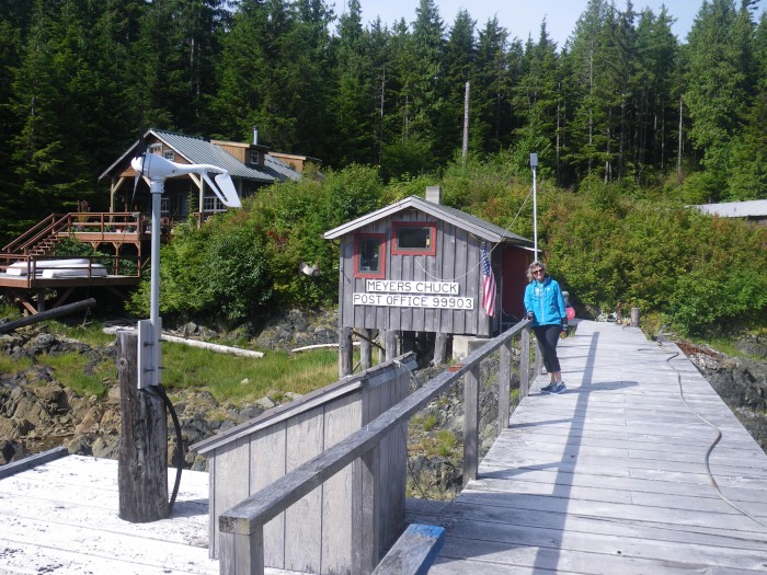
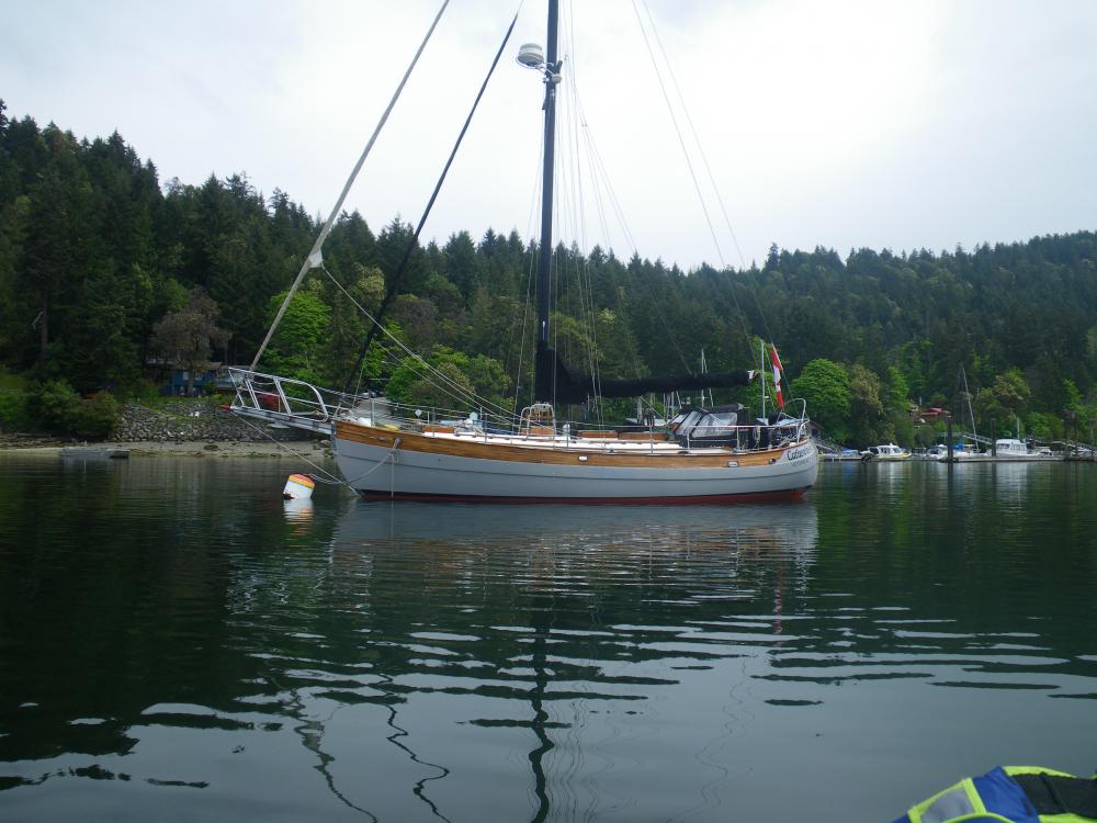
We left the dock at Ketchikan mid-morning and filled up with fuel. This was the first 'do-it-yourself' pump we had encountered in our trip. Put your card in just like filling your car up and away you go. We filled up and off we went. We were headed towards a place called Meyers Chuck - a very small community 34 miles away from Ketchikan. It was a great spot to anchor; very protected, and just about half way to our next anchorage.
We arrived in the afternoon and spend the time on the boat, enjoying the evening sun and having dinner in the cockpit. In the morning, we got a little startle; someone knocked on our hull. It turned out to be the local postmistress, who doubles as a baker for visiting boats. She had made sticky buns that morning and was asking if we would care for some? Would we ever! Warm sticky buns delivered to the boat; what a treat! We purchased a couple and agreed to meet her on shore later for a quick look around the small community. Meyers Chuck has a very small local craft store and a small Post Office, which is the center of town. I was able to purchase an Alaska fishing license there for crab and fish so that was great. We walked around a bit with the post mistress as our guide and then headed back out to enjoy the rest of the day.
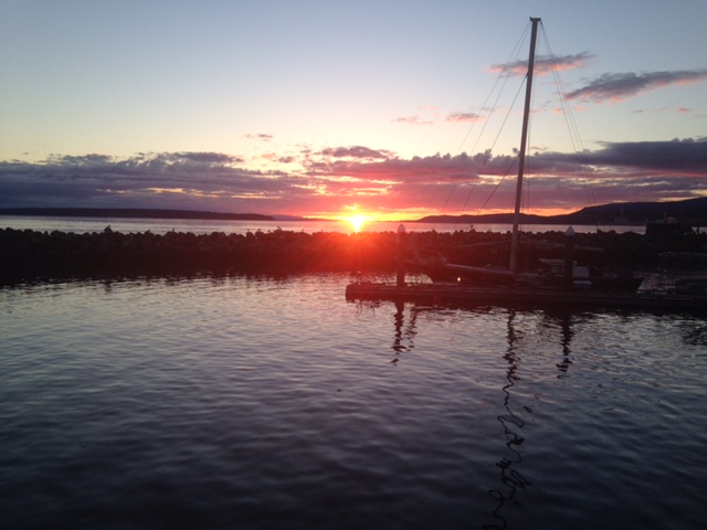
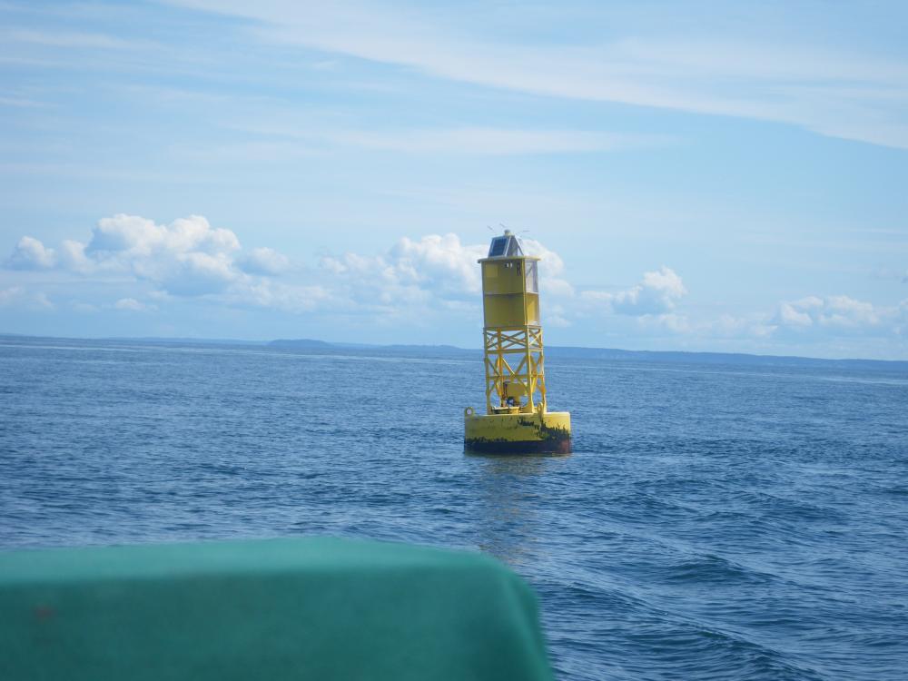
The following day, we picked up anchor at noon and made our way up Ernest Sound to Frosty Bay. The weather was great, with a blue sky - and of course - no wind. It was an uneventful trip, and we dropped the hook in Frosty Bay at @ 5:30 that evening. I took the dinghy out for a short trip, and cut the outboard and just glided along for a while. At the head of the bay, it was still enough to have the reflection of the water look like a mirror; almost like one of those MC Escher images where you don't really know which way is up. It was a very peaceful evening.
The following day we got ready pretty early, we were headed to the Anan Bear Observatory at Anan Creek.
https://share.garmin.com/RonRisden
For those following along at home - and at work - the Sail Blog app is just a straight line, giving our anchored locations - where we end for the day. The Garmin track linked above, which starts in Powell River, gives a fairly continuous track of our travels; showing the ins and outs (and backtracking) we are doing. Also you will notice that the dates of the writing may seem a little off. Entries get written when there is a good internet connection and may reflect that date. We will try to start putting the date(s) we are at a specific location into the heading.
We left the dock at Ketchikan mid-morning and filled up with fuel. This was the first 'do-it-yourself' pump we had encountered in our trip. Put your card in just like filling your car up and away you go. We filled up and off we went. We were headed towards a place called Meyers Chuck - a very small community 34 miles away from Ketchikan. It was a great spot to anchor; very protected, and just about half way to our next anchorage.
We arrived in the afternoon and spend the time on the boat, enjoying the evening sun and having dinner in the cockpit. In the morning, we got a little startle; someone knocked on our hull. It turned out to be the local postmistress, who doubles as a baker for visiting boats. She had made sticky buns that morning and was asking if we would care for some? Would we ever! Warm sticky buns delivered to the boat; what a treat! We purchased a couple and agreed to meet her on shore later for a quick look around the small community. Meyers Chuck has a very small local craft store and a small Post Office, which is the center of town. I was able to purchase an Alaska fishing license there for crab and fish so that was great. We walked around a bit with the post mistress as our guide and then headed back out to enjoy the rest of the day.
The following day, we picked up anchor at noon and made our way up Ernest Sound to Frosty Bay. The weather was great, with a blue sky - and of course - no wind. It was an uneventful trip, and we dropped the hook in Frosty Bay at @ 5:30 that evening. I took the dinghy out for a short trip, and cut the outboard and just glided along for a while. At the head of the bay, it was still enough to have the reflection of the water look like a mirror; almost like one of those MC Escher images where you don't really know which way is up. It was a very peaceful evening.
The following day we got ready pretty early, we were headed to the Anan Bear Observatory at Anan Creek.
Comments
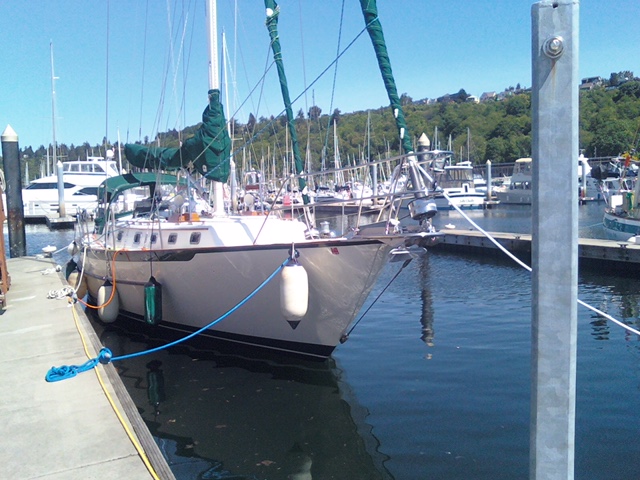
| Vessel Name: | Just Lucky |
| Vessel Make/Model: | Pacific Seacraft 40 |
| Hailing Port: | Seattle |
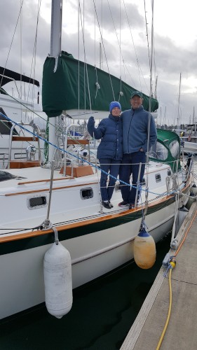
| Crew: | Ron & Kirsten Risden |
| About: | Retired and seeking new places to travel to and explore. Traveling up the Inside Passage to SE Alaska and exploring the coast along the way. |
Just Lucky's Photos - Main
 |
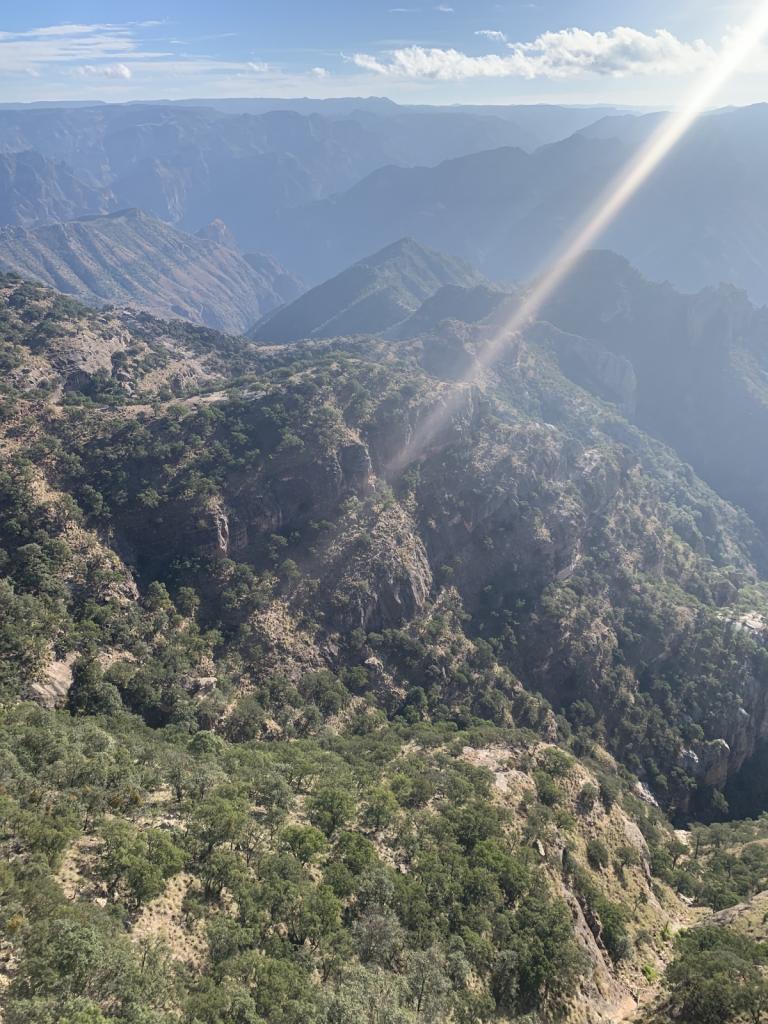
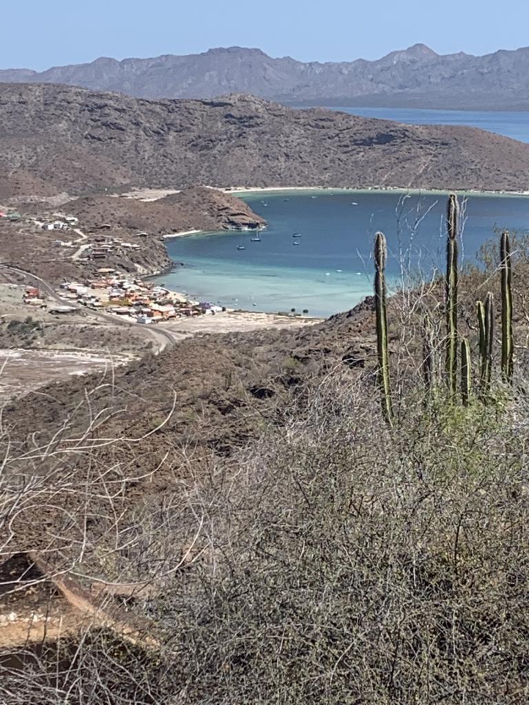
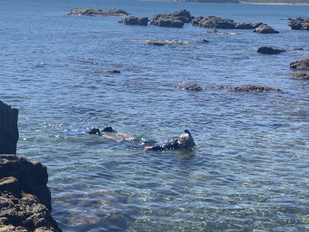
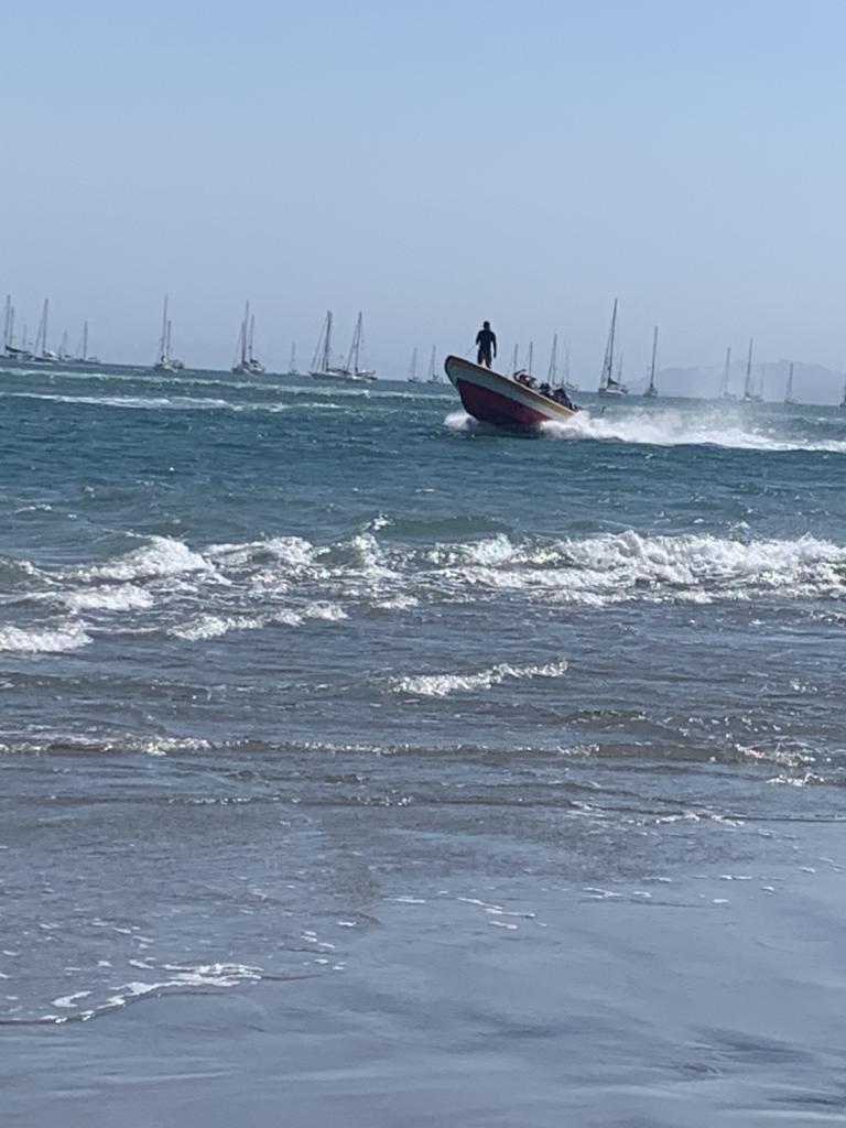
Hiked to an abandoned hotel and saw Roseate Spoonbills in the lagoon. Exciting ride in the dingy - grounded a couple times and then blasted through the standing wave at the river bar
3 Photos
Created 16 February 2023
|
 |
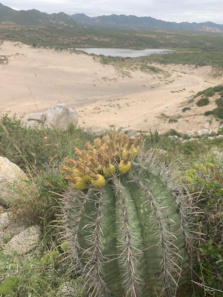
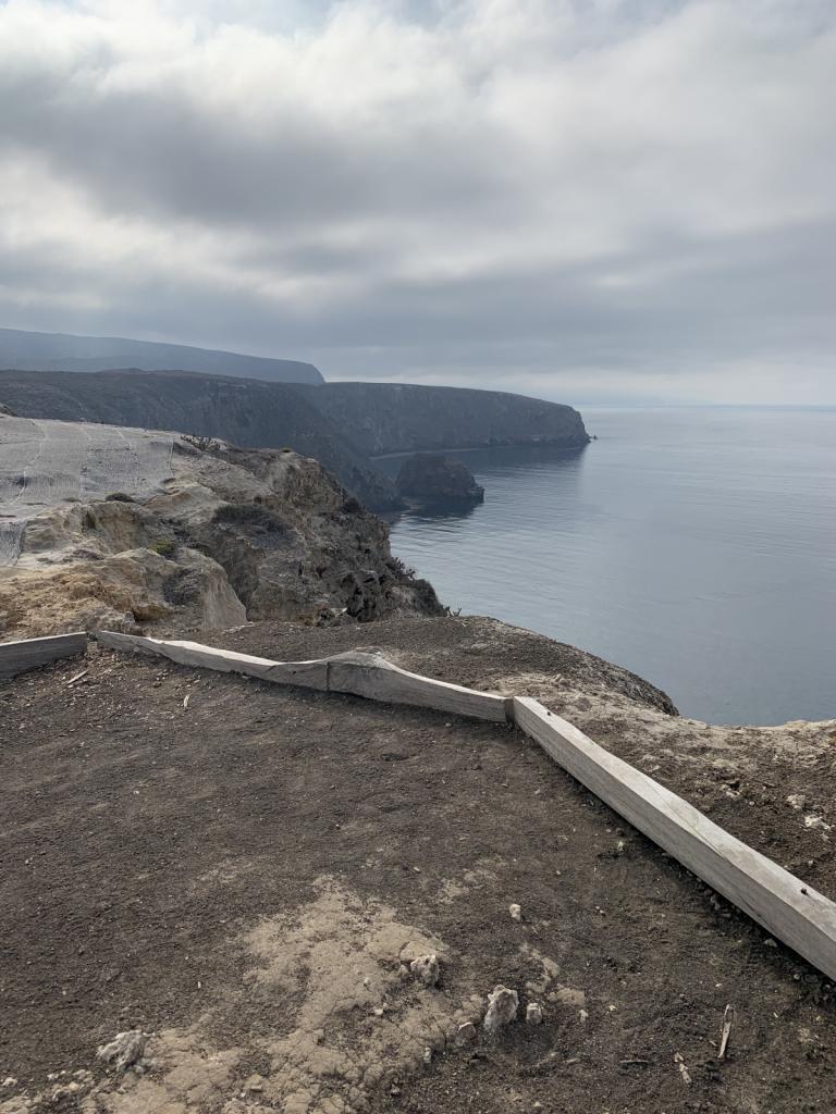
Our turn around point for heading back north.
4 Photos
Created 16 February 2023
|
 |
 |
 |
 |
 |
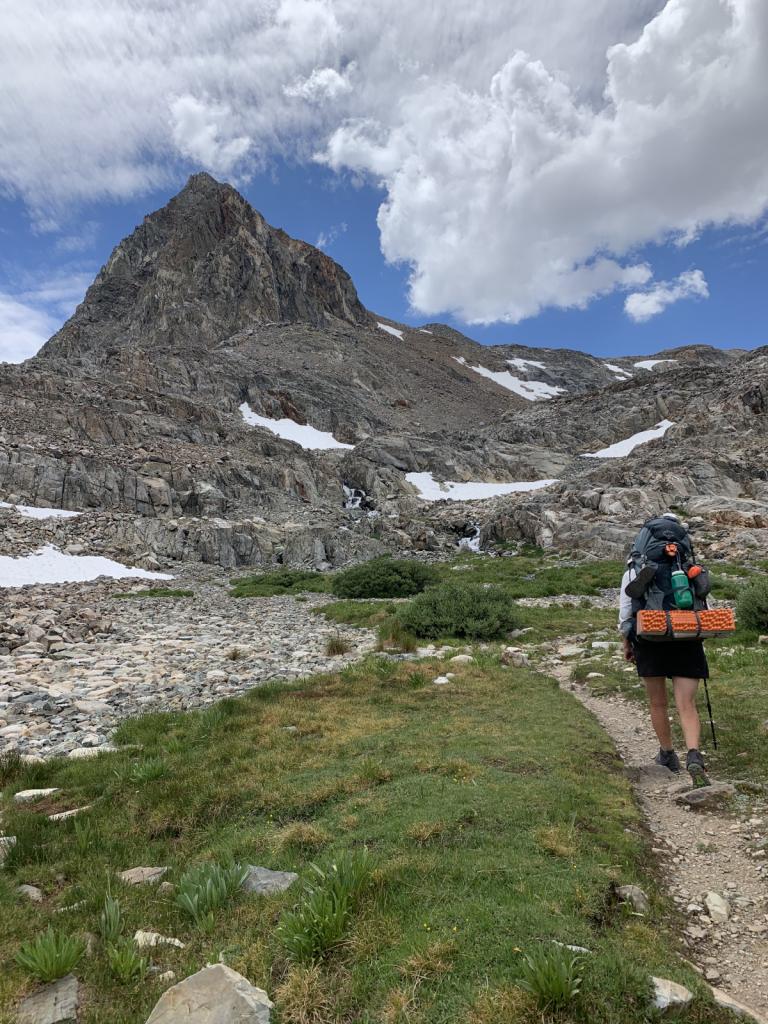 |
Kirsten hiked from Kennedy Meadows South to Ebbett's Pass this summer. She was joined by her good friend Johanna and her sister-in-law Amanita for some of the most beautiful
18 Photos
Created 11 January 2023
|
 |
Getting the boat ready to be "on the hard" for 6 months. A big, hot job.
4 Photos
Created 11 January 2023
|
 |
 |
 |
 |
 |
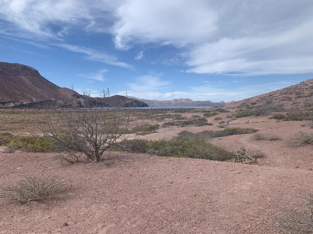 |
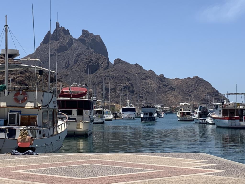
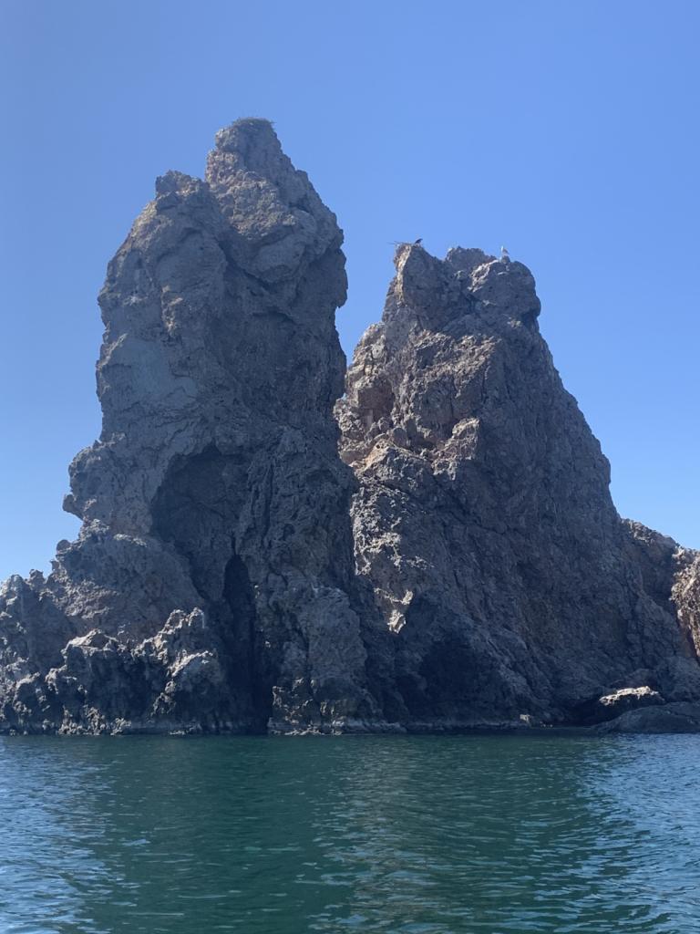
Visited the islands outside La Paz after leaving that great city for the second time
5 Photos
Created 30 March 2022
|
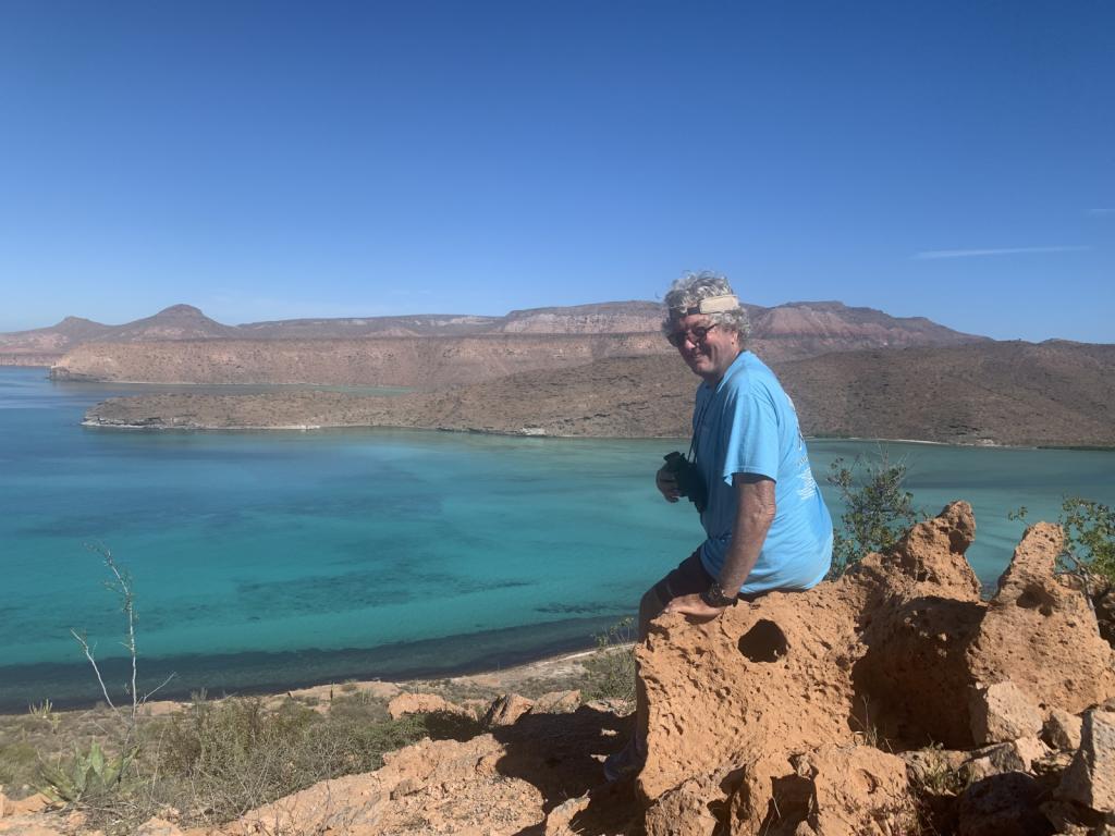 |
National Park of two islands (Espiritu Santo and Partida) very close to La Paz. Beautiful hiking and snorkeling.
6 Photos
Created 28 January 2022
|
 |
 |
 |
 |
 |
 |
 |
 |
 |
 |
 |
Photos of the Powell River area and just prior to Desolation Sound proper
5 Photos
Created 29 July 2017
|
 |
Shots from the trip up and back and in the Inlet
6 Photos
Created 29 July 2017
|
 |
 |
 |
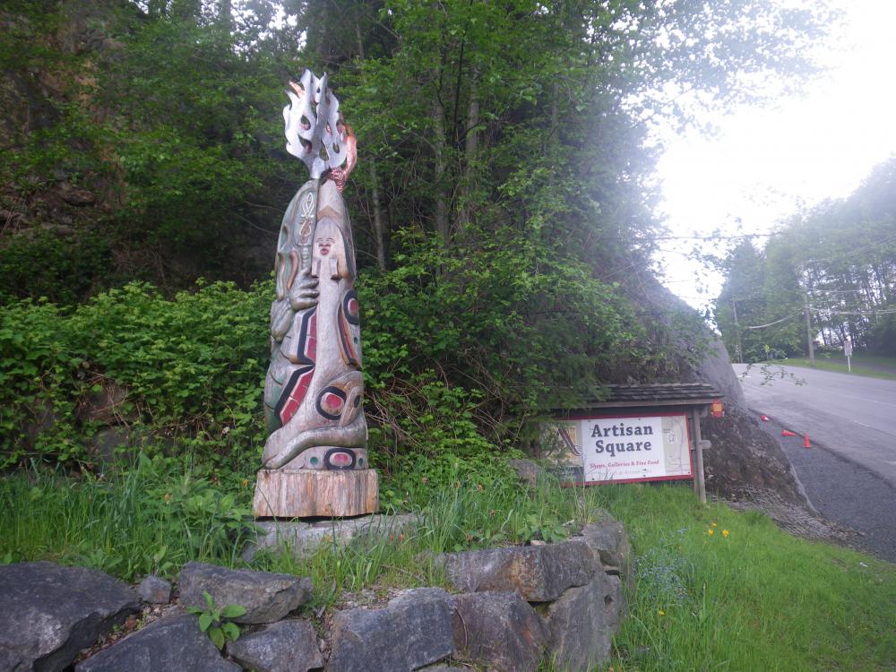
Various photos along the way
3 Photos
Created 18 May 2017
|
 |
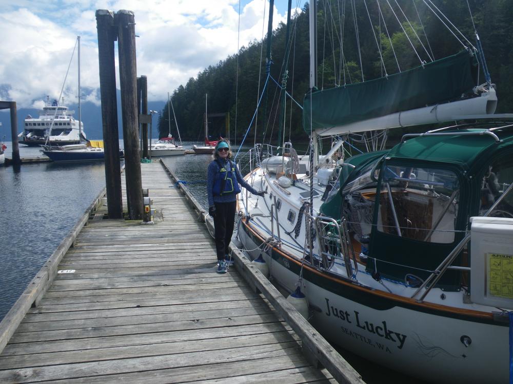
Shots of the Strait and Bowen Island activities
4 Photos
Created 12 May 2017
|
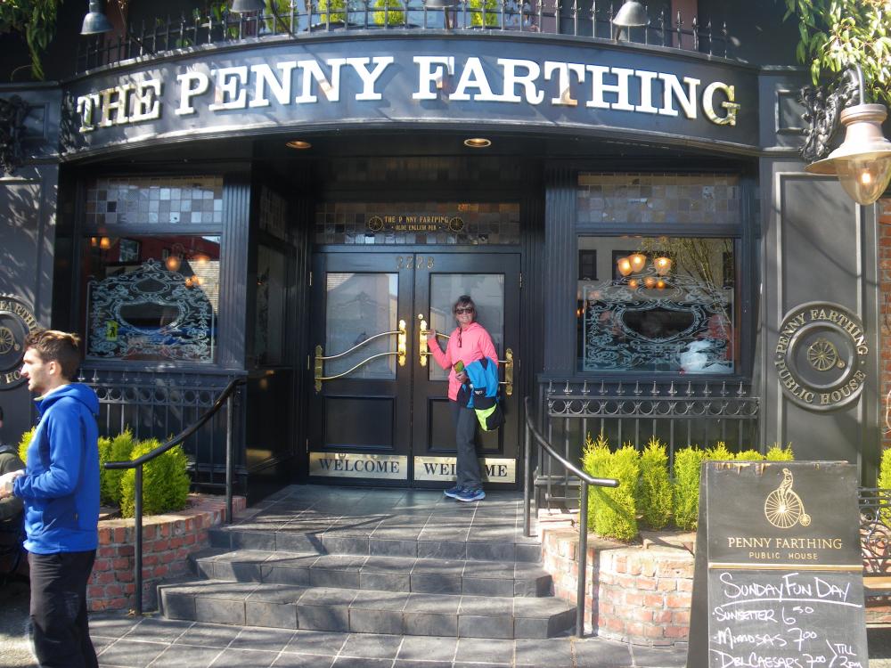 |
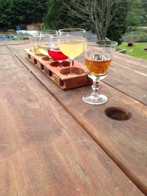
Places we've eaten or had a drink along the way that we enjoyed
7 Photos
Created 12 May 2017
|
 |
 |
Boats and other vehicles or mechanical items I've seen along the way that I thought were cool or looked very nice
5 Photos
Created 12 May 2017
|
 |
 |
Photos of the boat and boat projects
9 Photos
Created 27 April 2017
|
Who: Ron & Kirsten Risden
Port: Seattle