Cruising on Just Lucky
The travels of the sailboat Just Lucky and the able crew
16 February 2023
16 February 2023
16 February 2023
12 February 2023
12 February 2023
12 February 2023
12 February 2023
21 January 2023
11 January 2023
02 April 2022
02 April 2022
02 April 2022
30 March 2022
30 March 2022
30 March 2022 | Above Ensenada Grande
28 January 2022
17 December 2021
17 December 2021
17 December 2021
16 December 2021
Portage Bay / Kake Village 8/20/ - 8/21/2017
10 October 2017 | Portage Bay - Kake Village
Ron
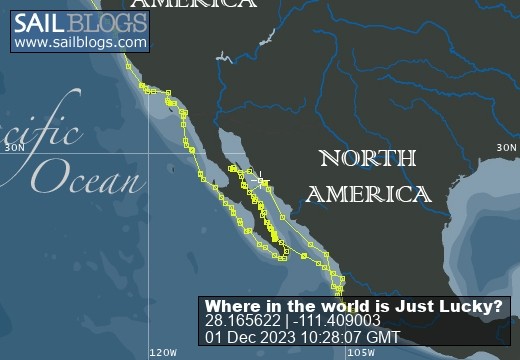
Our route and current location: [Note - I forgot to turn on tracking for a while - the track is discontinuous but does pick up later]
https://share.garmin.com/RonRisden
For those following along at home - and at work - the Sail Blog app is just a straight line, giving our anchored locations - where we end for the day. The Garmin track linked above, which starts in Powell River, gives a fairly continuous track of our travels; showing the ins and outs (and backtracking) we are doing. Also you will notice that the dates of the writing may seem a little off. Entries get written when there is a good internet connection and may reflect that date. We will try to start putting the date(s) we are at a specific location into the heading.
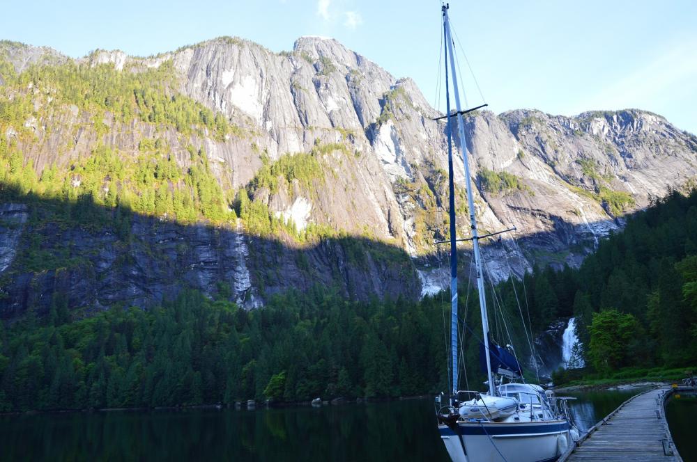
The route from Petersburg to Warm Springs led us out into Frederick Sound. This is a very beautiful spot that can get bad weather in a flash – like a lot of Alaska. Fortunately for us the first day to Portage Bay was fairly low key with just an overcast sky, a little rain and some moderate winds - @ 20 knots. It was not a very long day as we only did @ 25 miles, but the next leg to Warm Springs was going to be something like 60 miles, so we opted to break the trip up into shorter days.
The anchorage at Portage Bay has a couple of turns that you need to pay attention to, especially at low tide, but is not real difficult. Since the tide swings up here can easily be in excess of 20 feet, many times there are mudflats under what looks like a deeper water entrance, so following the routes on the charts is very important. We came into the anchorage just fine after the obligatory 2 – 90 degree turns and anchored in @ 35 feet of water for the night.
The next morning we started out early, planning on getting to Warm Springs. It was raining hard at the start of the passage, and the wind picked up considerably over what we had listened to on the weather forecast.
As an aside, we always tried to get the latest NOAA forecast for this region we would be traveling in via the automated VHF broadcasts every morning before we left. They are broadcast throughout SE Alaska on one of ten VHF channels dedicated to weather information. It was tricky to get them sometimes, given that a good anchorage would obscure the radio signal, but we made it a priority even if we had to stop early in the passage when we would pick up a good signal.
As the wind increased, we made less progress (yes it was directly at us), and the tide started running with us. While that may sound good from the standpoint of getting a ‘push’ from the current, it starts to make larger waves when the wind opposes the current. We started to get bounced around pretty good, so we opted to put in at Kake Village instead, giving us @ 40 miles for the day. That would make next day to Warm Springs only about 30 miles; easey peasey – right? Stay tuned …
https://share.garmin.com/RonRisden
For those following along at home - and at work - the Sail Blog app is just a straight line, giving our anchored locations - where we end for the day. The Garmin track linked above, which starts in Powell River, gives a fairly continuous track of our travels; showing the ins and outs (and backtracking) we are doing. Also you will notice that the dates of the writing may seem a little off. Entries get written when there is a good internet connection and may reflect that date. We will try to start putting the date(s) we are at a specific location into the heading.
The route from Petersburg to Warm Springs led us out into Frederick Sound. This is a very beautiful spot that can get bad weather in a flash – like a lot of Alaska. Fortunately for us the first day to Portage Bay was fairly low key with just an overcast sky, a little rain and some moderate winds - @ 20 knots. It was not a very long day as we only did @ 25 miles, but the next leg to Warm Springs was going to be something like 60 miles, so we opted to break the trip up into shorter days.
The anchorage at Portage Bay has a couple of turns that you need to pay attention to, especially at low tide, but is not real difficult. Since the tide swings up here can easily be in excess of 20 feet, many times there are mudflats under what looks like a deeper water entrance, so following the routes on the charts is very important. We came into the anchorage just fine after the obligatory 2 – 90 degree turns and anchored in @ 35 feet of water for the night.
The next morning we started out early, planning on getting to Warm Springs. It was raining hard at the start of the passage, and the wind picked up considerably over what we had listened to on the weather forecast.
As an aside, we always tried to get the latest NOAA forecast for this region we would be traveling in via the automated VHF broadcasts every morning before we left. They are broadcast throughout SE Alaska on one of ten VHF channels dedicated to weather information. It was tricky to get them sometimes, given that a good anchorage would obscure the radio signal, but we made it a priority even if we had to stop early in the passage when we would pick up a good signal.
As the wind increased, we made less progress (yes it was directly at us), and the tide started running with us. While that may sound good from the standpoint of getting a ‘push’ from the current, it starts to make larger waves when the wind opposes the current. We started to get bounced around pretty good, so we opted to put in at Kake Village instead, giving us @ 40 miles for the day. That would make next day to Warm Springs only about 30 miles; easey peasey – right? Stay tuned …
Comments
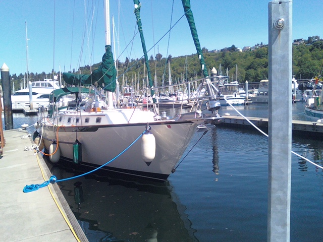
| Vessel Name: | Just Lucky |
| Vessel Make/Model: | Pacific Seacraft 40 |
| Hailing Port: | Seattle |
| Crew: | Ron & Kirsten Risden |
| About: | Retired and seeking new places to travel to and explore. Traveling up the Inside Passage to SE Alaska and exploring the coast along the way. |
Just Lucky's Photos - Main
 |
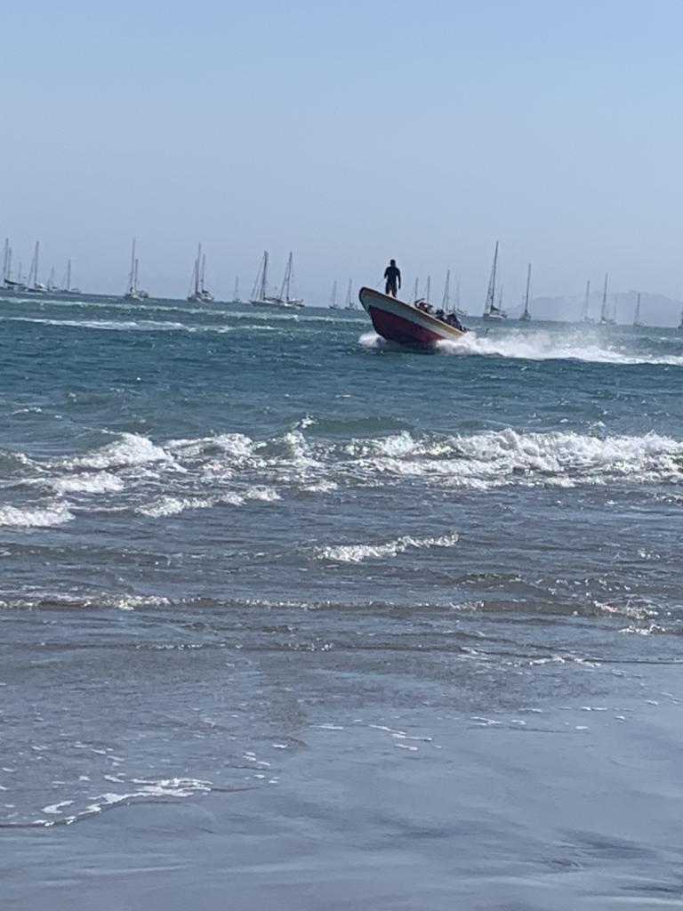
Hiked to an abandoned hotel and saw Roseate Spoonbills in the lagoon. Exciting ride in the dingy - grounded a couple times and then blasted through the standing wave at the river bar
3 Photos
Created 16 February 2023
|
 |
Our turn around point for heading back north.
4 Photos
Created 16 February 2023
|
 |
 |
 |
 |
 |
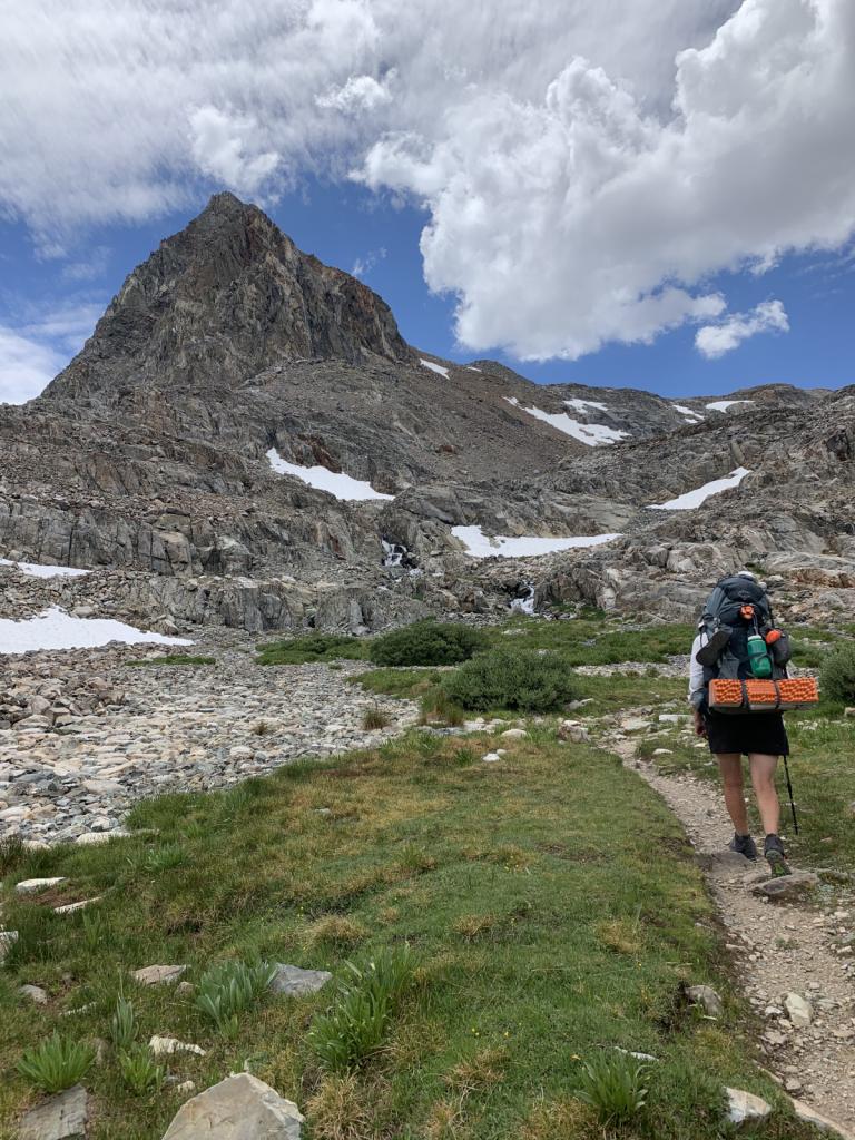 |
Kirsten hiked from Kennedy Meadows South to Ebbett's Pass this summer. She was joined by her good friend Johanna and her sister-in-law Amanita for some of the most beautiful
18 Photos
Created 11 January 2023
|
 |
Getting the boat ready to be "on the hard" for 6 months. A big, hot job.
4 Photos
Created 11 January 2023
|
 |
 |
 |
 |
 |
 |
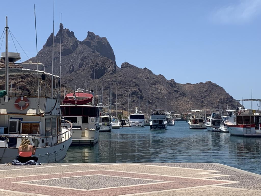
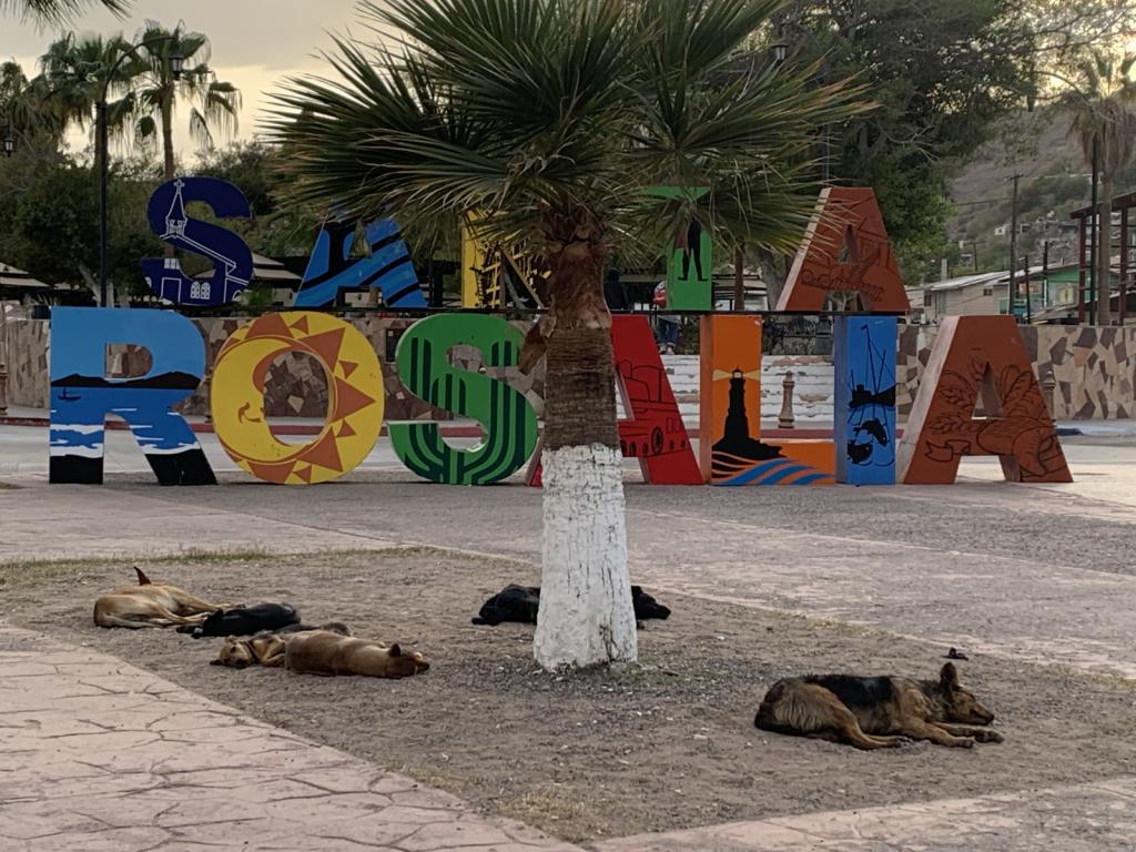
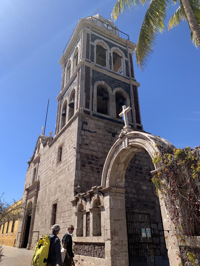
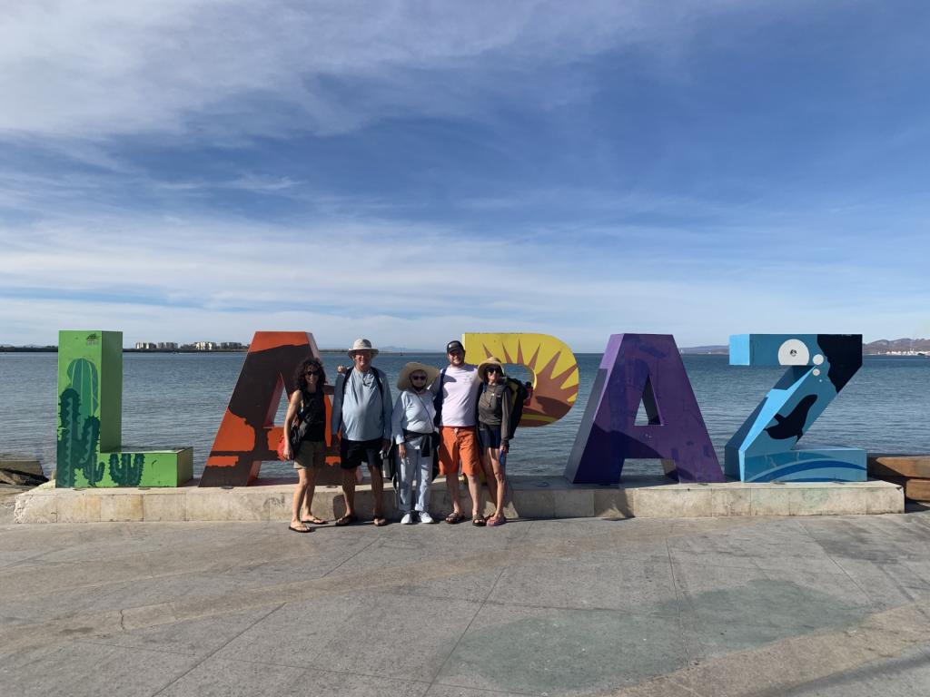
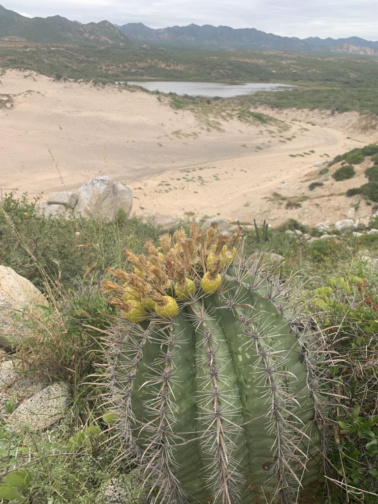
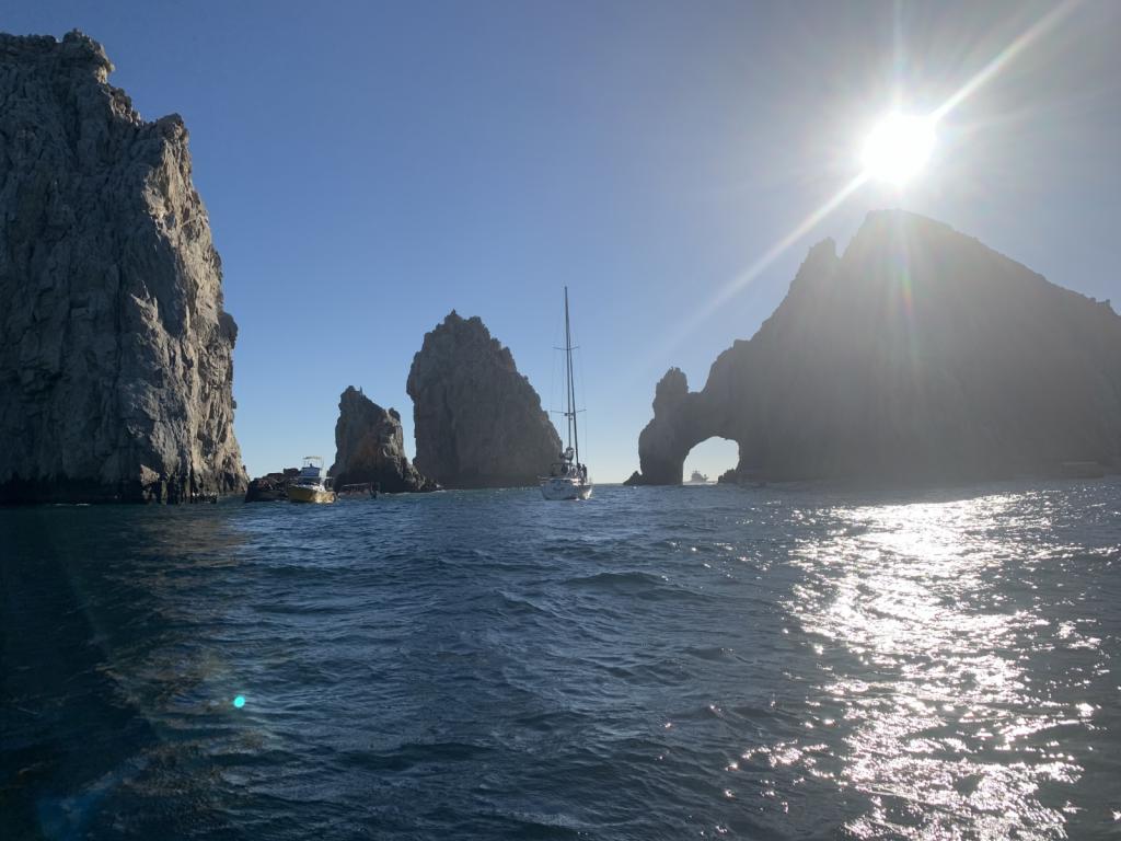
Visited the islands outside La Paz after leaving that great city for the second time
5 Photos
Created 30 March 2022
|
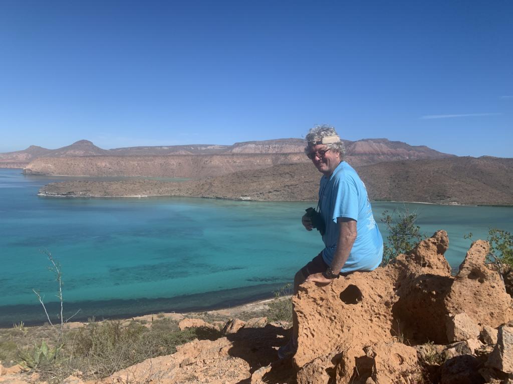 |
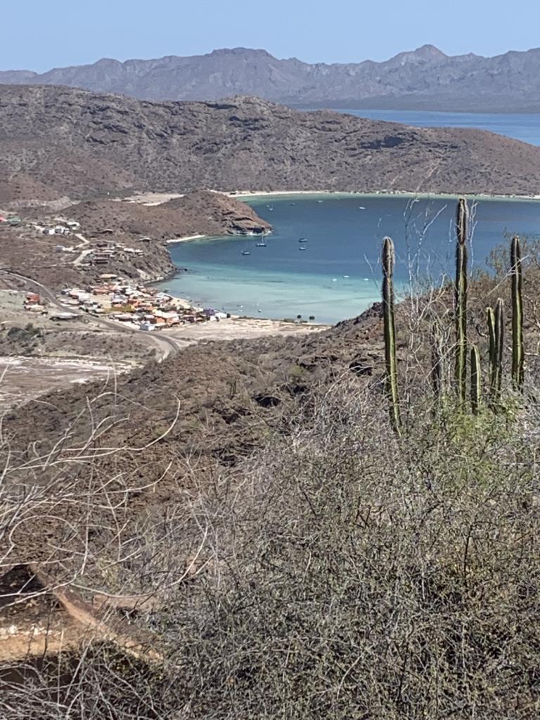
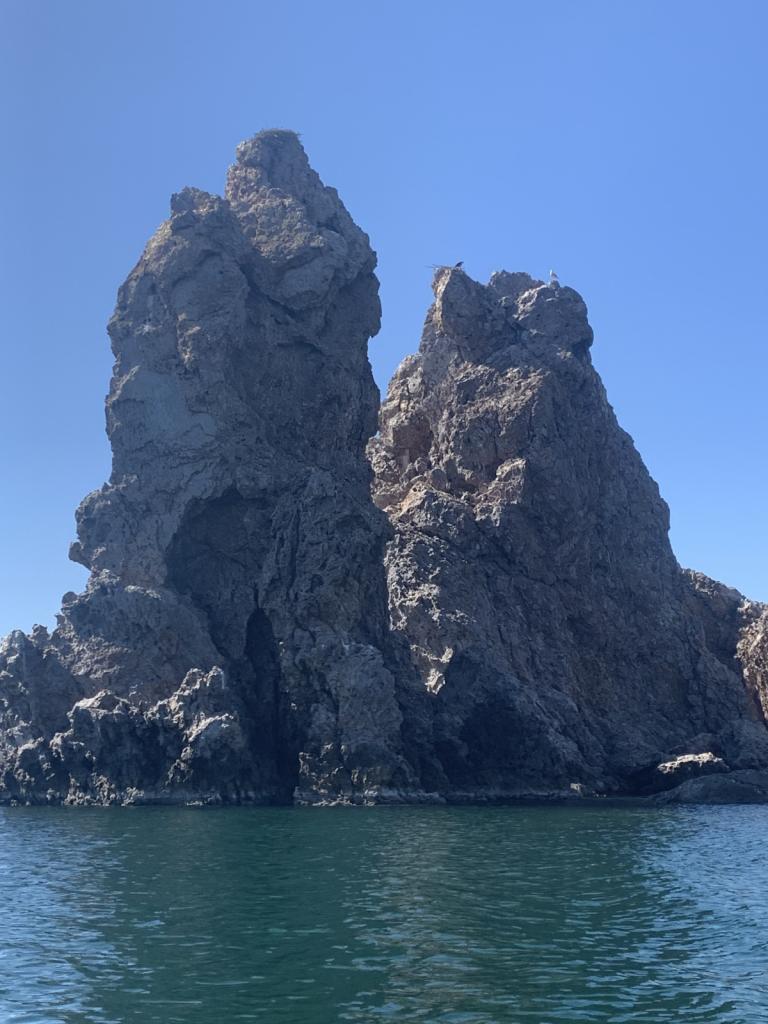
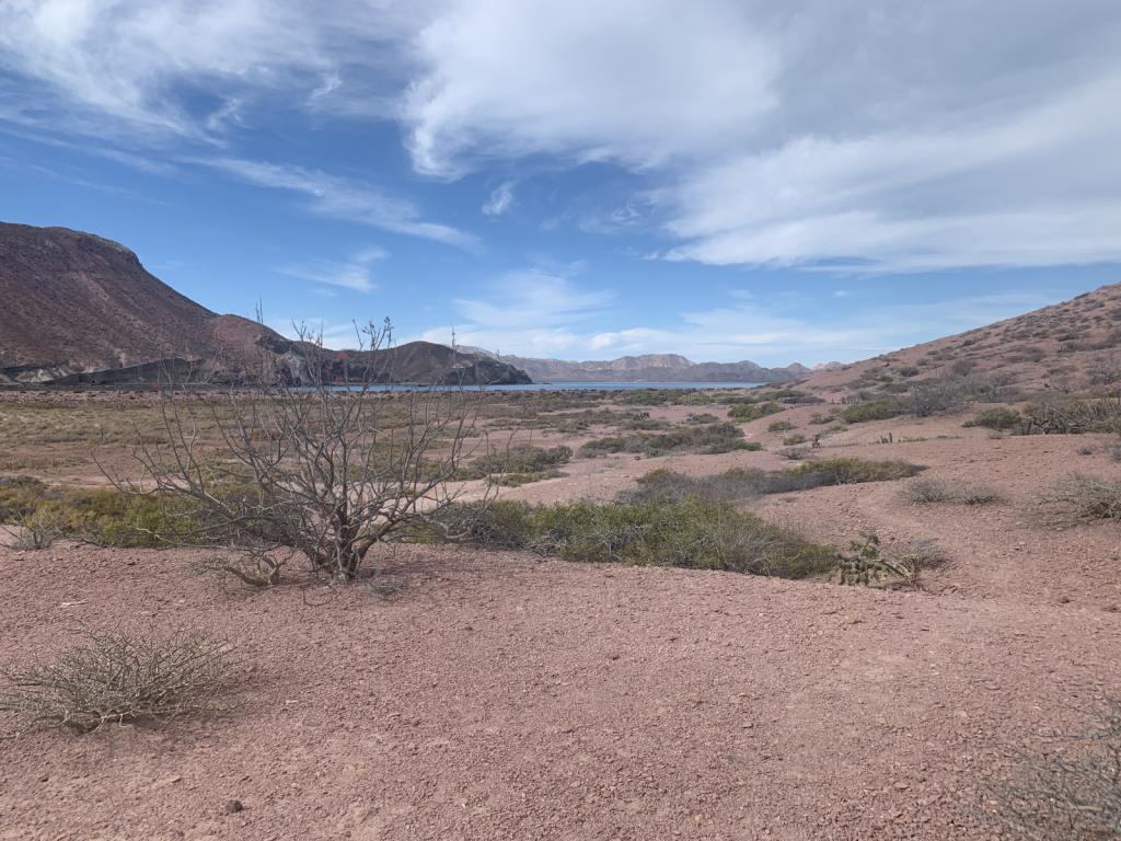
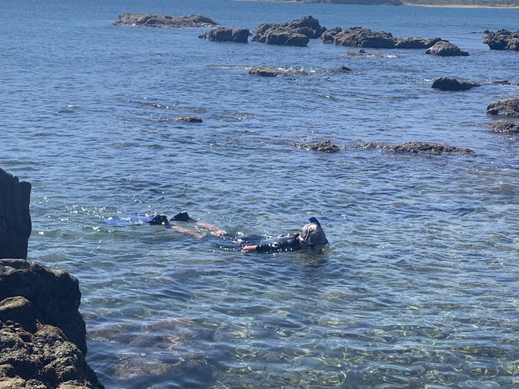
National Park of two islands (Espiritu Santo and Partida) very close to La Paz. Beautiful hiking and snorkeling.
6 Photos
Created 28 January 2022
|
 |
 |
 |
 |
 |
 |
 |
 |
 |
 |
 |
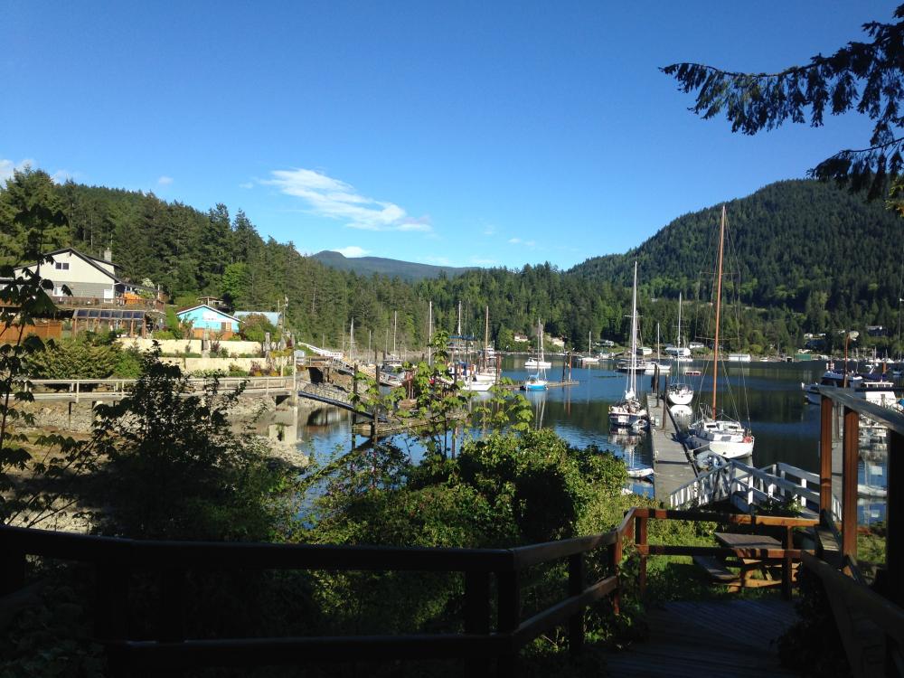
Photos of the Powell River area and just prior to Desolation Sound proper
5 Photos
Created 29 July 2017
|
 |
Shots from the trip up and back and in the Inlet
6 Photos
Created 29 July 2017
|
 |
 |
 |
Various photos along the way
3 Photos
Created 18 May 2017
|
 |
Shots of the Strait and Bowen Island activities
4 Photos
Created 12 May 2017
|
 |
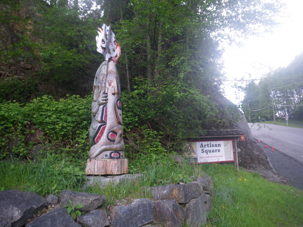
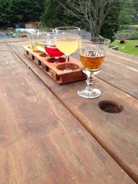
Places we've eaten or had a drink along the way that we enjoyed
7 Photos
Created 12 May 2017
|
 |
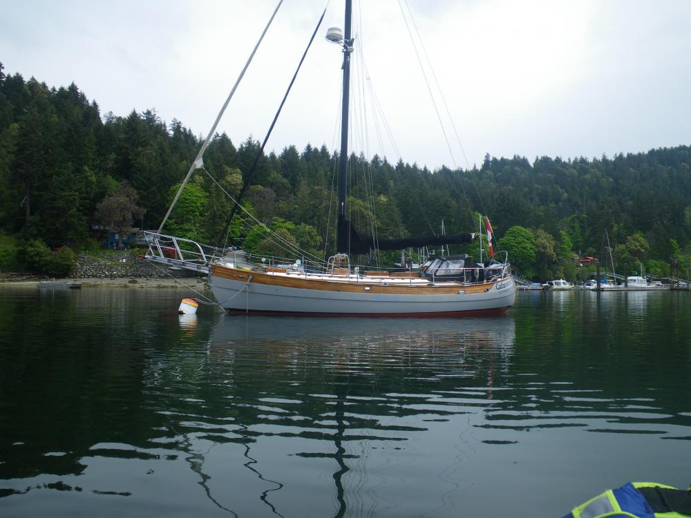 |
Boats and other vehicles or mechanical items I've seen along the way that I thought were cool or looked very nice
5 Photos
Created 12 May 2017
|
 |
 |
Photos of the boat and boat projects
9 Photos
Created 27 April 2017
|
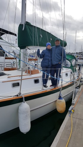
Who: Ron & Kirsten Risden
Port: Seattle