
Kena
22 November 2009 | Tutukaka
11 November 2009
10 November 2009
09 November 2009
07 November 2009
07 November 2009
04 November 2009
03 November 2009
01 October 2009
29 September 2009
05 September 2009 | Nuku'alofa
27 August 2009
27 August 2009
23 August 2009
16 August 2009
14 August 2009
12 August 2009
09 August 2009
08 August 2009
08 August 2009
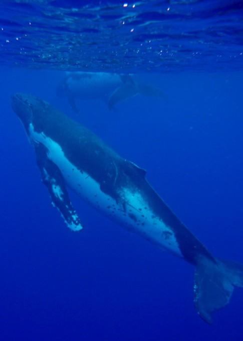
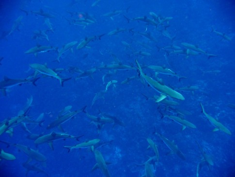
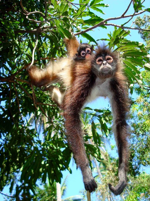
Cocos Island Arrival
27 March 2008
Roger
With the sails down, we motored on through the storms. Our passenger, a boobie perched on the bowsprit, hung on through the night... at least the rain was washing off the poop he was depositing. The darkness, the rain, and the frequent flashes of lightning made for interesting watches. When I relieved Tane at dawn, I asked if we were through the storms, and his answer was to point to the radar... not only were we surrounded, but there was a complete wall of them directly in our path. I checked in to the Pan Pacific net at 8 am and listened for the weather report. The location of the ITCZ is given as a series of four or five latitude/longitude pairs. The line joining these is the center of the ITCZ, and usually there's a statement that there is convection activity up to 200 miles on either side. This morning, the second coordinate pair agreed exactly with our current location!
In the early afternoon we came across another area of debris, complete with logs with their requisite row of masked boobies sitting as though in a queue for some unknown reward. Again, we tried passing the lures close by. This time, we caught a couple more skipjacks and a very small dorado, which we tossed back. We changed course to pass through a cloud of boobies diving amongst a school of feeding dolphins, but nothing was interested in the lures. The sealife is definitely changing. The masked boobies are very much like the gannets we see in New Zealand. There are now gull-like birds occasionally, and the flying fish are much bigger. Back on course again, a thunderhead built up just behind us, and started relentlessly towards us. These storms are completely different from the kind we're familiar with on land. The land variety seems to form up, then move around as a unit. Here, a cloud will form, then spread rapidly across the sky. The storms form and join up in totally unpredictable ways, so there's no way to avoid them. In this case, another one formed in front of us, joined with the one following, and drenched us. The sea changes totally when this happens. The waves seem flattened by the deluge and the surface is covered with a misty spray. In the middle of the downpour, we were visited by a group of dolphins that started doing amazing acrobatics, leaping out and twisting to crash back down sideways. One of the boat lines twanged suddenly... whatever hit it was big, snapping the 200lb line instantly. One lure gone. Later, the other line met with the same fate, and we discovered the rod line hooked up on the rudder skeg---somehow, something had dragged it forward and under the boat.
We had been tracking the first boat we had seen in days, a trawler on the horizon belching out black smoke, appearing and disappearing in the mists. Suddenly, Tane yelled out that there was a black longline flag just ahead. What the hell! Here we are in the middle of nowhere and we have to contend with longlines? I'd heard stories of the Costa Rican fishermen with the 8 mile long floating longlines and my heart sank... we had enough to deal with without this! With the ending in neutral, we sailed by the flag with Tane on the bow wielding the boat hook. After about 15 minutes, we were clear and there was no sign of a line, but we now kept a much closer watch, which is not nearly as easy in the rain.
With all of the rainstorms, it wasn't easy to see the island on the radar, but as dusk approached, we saw its faint outline appearing and disappearing as the rain came and went. The storm continued to follow us, contributing its lightning and thunder (very close) to that of all the other storms around us. The charts showed a clear, wide entrance into Bahia Chatham, so we decided to do a careful night approach rather than wait all night. We would at least wait until we were no longer in rain and winds, however.
Darkness fell and the rain slowed to a drizzle. A light appeared ahead and to starboard. Then another, and another, all around the arc ahead of us. Suddenly we tracking about 10 lights, and here and there, boats were showing up on the radar amid the rain clutter. As we approached one, it all of the deck lights came on and a searchlight played over us. In the past, this has been a signal that we were about to run into a line or net, so we had to slow and bring out our own searchlight. The first boat passed us on the port side, going the other way quite quickly, so it became clear they were just trying to make out what we were. This pattern was repeated several times. Then we reached the 12-mile line around Cocos, and there were no more fishing boats. We learned later that fishing is prohibited within 12 miles of the island, and there's a patrol boat that enforces this. However, it seemed that all of the fishing boats were in a cluster right in our path...we didn't see any off in the distance.
As we motorsailed on in the rain, Sal claimed she could see a glow ahead. As we came closer, it resolved into a couple of lights and a strobe. We slowed to approach and the radar showed four boats in Bahia Chatham. Two were well lit up dive boats that we later learned were the Undersea Hunter and the Oceanus Agressor. They are both out of Puntarenas, Costa Rica, taking 15 and 22 divers, respectively, on 10 day trips with 3 day port turnaround. They do three daylight and one night dive each day. Cocos is one of the world's premier dive destinations, with incredibly clear water. The shallowest dive starts at 45 feet, and the deeper ones go to 200 feet, so they come equipped with full nitrox setups. We approached one of the dive boats whose stern was well lit, with crew working, and asked about anchoring. They pointed to a line of floats in the water nearby that was the line to a major mooring, so we tied up. The passage of 310 nautical miles had taken two days and 16 hours. We sat for a while in the cockpit, sipping cold beers, looking forward to a complete night's sleep. We have a policy of not drinking while on passage---although most of the time, it's best to be as sharp as possible in case of emergencies. As we sat there, the shape of the main island and a couple of smaller ones, and the anchored boats, revealed themselves in the flashes of lightning.
Comments
| Vessel Name: | Kena |
| Vessel Make/Model: | Ganley Pacemaker 40 |
| Hailing Port: | Tutukaka, New Zealand |
| Crew: | Roger, Sally, Tane, Hunters all |
| About: | The Hunter family: Roger, originally from Tutukaka, New Zealand Sally, from Tasmania, Australia and Tane is from New Mexico. |
| Extra: | This leg of the trip is from Puerto Lucia, Ecuador to New Zealand. |
Kena's Photos - Main
 |
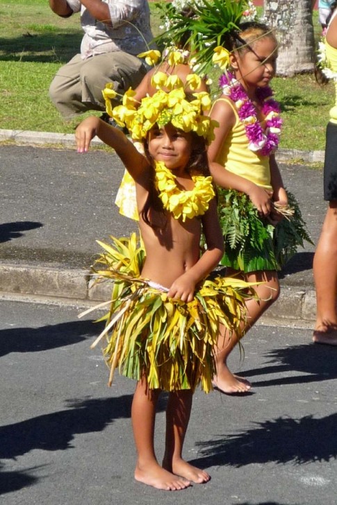
Playing in the world's smallest independent nation.
47 Photos
Created 15 September 2009
|
 |
A few picks of Roratonga, where we picked up Tomas, and of the incredible Beveridge Reef
20 Photos
Created 1 September 2009
|
 |
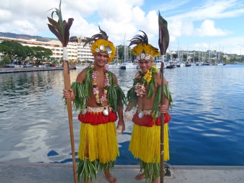
Our adventure in the islands of Tahaa and Raiatea in The Society Islands
18 Photos
Created 5 August 2009
|
 |
Mystical Bora Bora in French Polynesia
31 Photos
Created 5 August 2009
|
 |
The Sailing Rendezvous in Tahiti and Moorea, plus a little of Huahine
35 Photos
Created 5 August 2009
|
 |
Our journey through the coral atolls of the Tuamotus in French Polynesia
65 Photos
Created 19 June 2009
|
 |
 |
25 days of open seas and our first few days on Hiva Oa
51 Photos
Created 28 April 2009
|
 |
Our journeys to Puerto Lucia, Cuenca, Guayaquil and about
55 Photos
Created 25 March 2009
|
 |
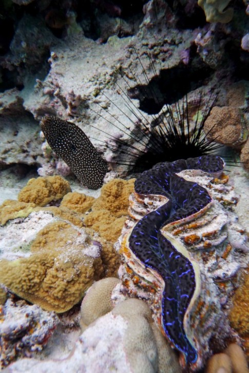
Our journey through the Galapagos Islands.
50 Photos
Created 17 April 2008
|
 |
 |
 |
 |
 |
 |
S/V Kena
Who: Roger, Sally, Tane, Hunters all
Port: Tutukaka, New Zealand
SailBlogs Friends


